Burnspot
Who Me?
Quick Facts:
Dates: 6/21 - 7/6 2013
Total Trip Mileage: 5650 miles
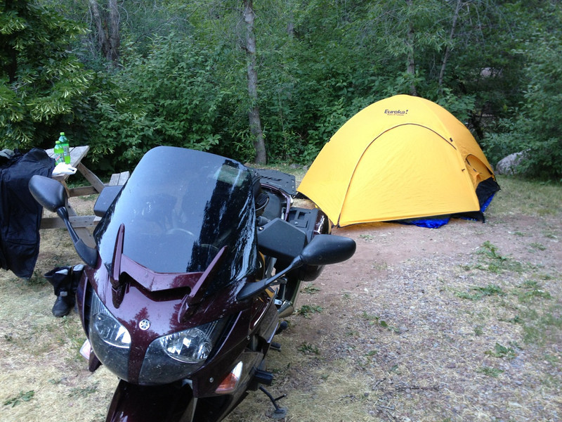
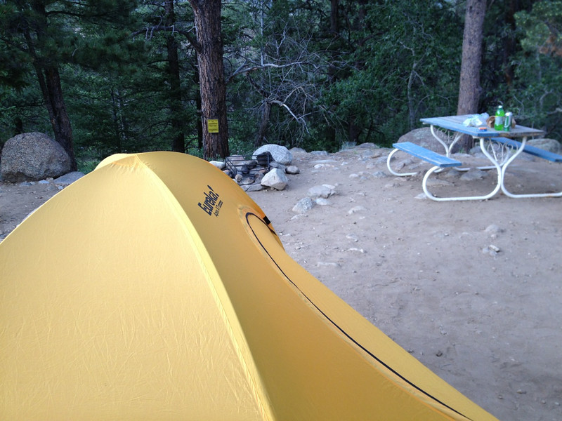
Accommodations: Tent, Hotels, 3 days condo rental
Full Photo Collection, in various sizes, on SmugMug Here (clicky)
Camera: iPhone 4S...my Canon point and shoot camera died the night before I left, preventing "rolling shots".
For those interested in packing details, I'll cover that at the end.
I'm still putting this report together, so it will span a number of posts in this thread as I get them written.

I'd always dreamed about taking my FJR out to the high mountains of Colorado, where I spent most of my time growing up, but really didn't know if I'd ever get enough time or have the finances to put such an adventure together. Then in May, pigs flew. First, my brother (a SoCal FJR owner and forum member) and I offloaded some land we owned in TN kind of by surprise, then my brother put the thought in my head that I ought to ride my FJR out to meet him and his son in our hometown of Winter Park, CO while they enjoyed a father/son mountain biking and fishing trip. It was a slippery slope from there.
Getting two weeks off worked out pretty easily; our office is closed for the 4th of July week already, so tacking on a week and a day before that proved trouble-free, especially with my boss enamored with the idea of me riding across the country. With that, the major pieces were in place. Apart from the few days I was going to be hanging with my brother and nephew, the plan was to meander around Colorado and see where the road took me with no real schedule other than when I wanted to be back home. I also planned to mix tent camping and hotels, depending how I found myself at the end of each day. I'd originally planned to hit Utah and Arizona as well, but the 110+ heatwave they were having put me off that. That said, I did get a tiny piece of those states near the end of the trip...
Preparing the bike for the distance wasn't anything out of the ordinary. I mounted a new PR3 rear and PR2 front (no real reason for the mix...I love both versions), changed the engine and pumpkin oil, topped off the cooling reservoir, checked my brakes, and double-checked my accessory wiring. I also bought and installed Gary's (Garuald) excellent hydration system to replace my suit-vent-blocking Camelbak. Earlier this year, I'd installed a CalSci tinted shorty screen for better cooling (works great) and opted to keep it installed for the trip.
Friday, June 21, 2013 - 675 miles
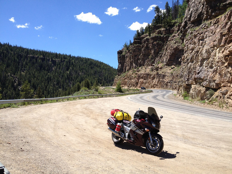
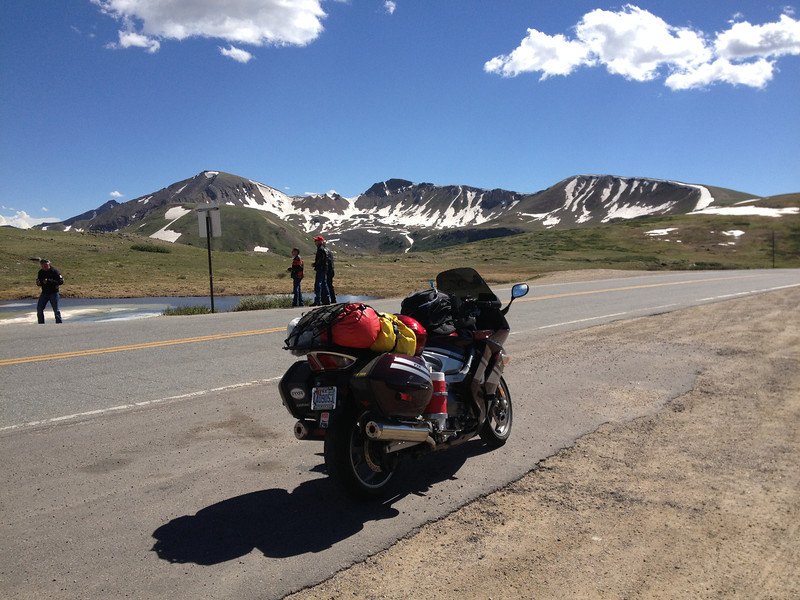
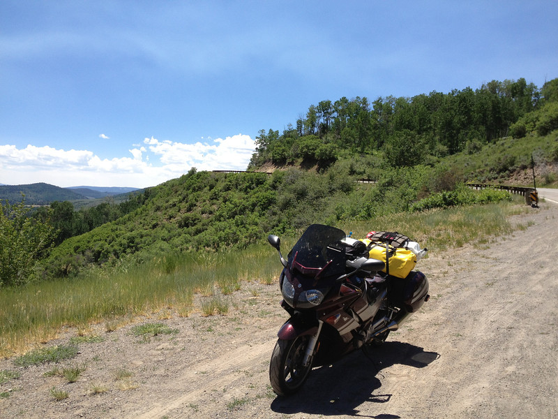
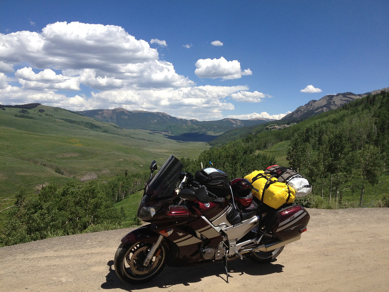
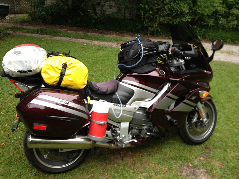
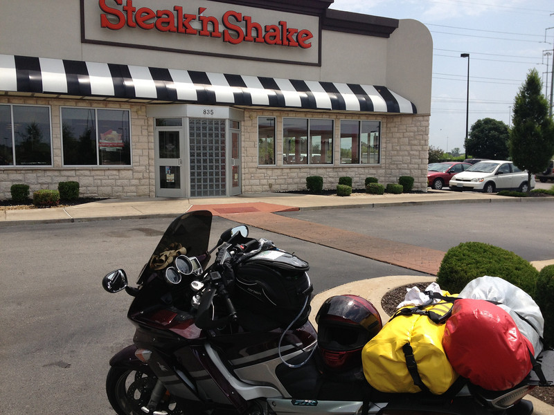
Here, the bike's all packed and raring to go...
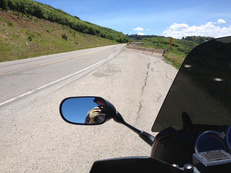
The plan for getting out to Colorado was simple...slab it. While I would've loved to mosey my way out there, I figured it was best to get there relatively fast THEN mosey. I left early on Friday, the 21st with plans to meet my brother on Sunday afternoon, when he arrived in Winter Park.
RIDER TIP: If you're going to take I-40 into or out of NC at the TN border, it might be worthwhile to check the condition of I-40 through the Pigeon River Gorge prior to hitting it as its prone to accidents and rock slides. As I was about 1/4 of the way through, I saw a massive overturned logging truck accident on the eastbound side...the stoppage looked to be around 12 miles long and apparently lasted a few hours. Here, I'm miles away from the accident at the last westbound NC rest area and traffic is stopped dead just over the dividing wall...that had to suck bigtime. I lucked out.
I stuck to I-40 until Nashville, where I jumped on I-24 and kept heading west. The weather was hot and humid, with the occasional cooling rain shower, but traffic wasn't too bad and I made pretty good time. At Cadiz, KY, I found a nice Super 8 and called it a day with 675 miles done for the day.
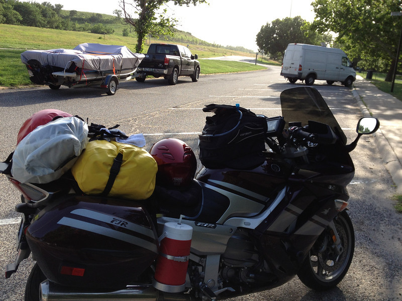
Sunrise the next day...the bike patiently waits.
Saturday, June 22 - 657 miles
I woke up with the sunrise, packed up, and hit the road, continuing up I-24 to I-57 and then I-64 towards St. Louis and I-70. While stopping in Illinois for fuel, I noticed that my right fork seal had started to leak...it didn't appear to be too bad and hadn't traveled down the fork leg much or blown onto my leg, so I wiped it down and planned to dig into it that night at the hotel.
Stopped in Lake St. Louis at one of my favorite eateries that we don't have in my area. My only complaint was that they brought my baked beans out too early...I like to dip my fries in the beans, but by the time my burger and fires arrived, the beans were gone.
While eating lunch, I missed out on the only real rain storm of the day...darn...
As the day wore on, the crosswinds increased. At a truck stop to fuel up, the tv weather said 60-70mph crosswinds...yep, it was a lot of fun (not) fighting those crosswinds. At one of the rest areas, I met a Super Tenere rider heading to New Mexico, via Colorado. Interesting guy with a long history of long rides...he wasn't enjoying the crosswinds either, nor the 90+ heat that had me draining my 1/2 gallon jug at a pretty fast rate...refilling at truck stops & convenience stores was painless.
I detoured around the I-70 toll section in Kansas City and took US24 all the way to Topeka before rejoining I-70. The detour wasn't that bad and was actually a nice break from the slab; it tried to rain a little bit, but only a few drops fell.
The crosswinds continued to be the theme of the afternoon. At the rest area between Topeka and Junction City, this fella with the boat, who'd been tailing me for many miles on I-70, looked about as tired as I was from battling the winds. He wasn't having fun, but remarked it was probably better than what I was dealing with...
After an afternoon of crosswind battle, I pulled into a Motel 6 at Salina, Kansas and called it a day after 657 miles. The left side of my body was sore from the bludgeoning crosswind and the cold AC in the hotel room felt awesome. Still had work to do though, as I pulled out my Seal Mate and set about correcting the weeping fork seal; the Seal Mate worked. The fork seal would not leak again for the entire trip...in fact, the bike was flawless for the remainder of the trip.
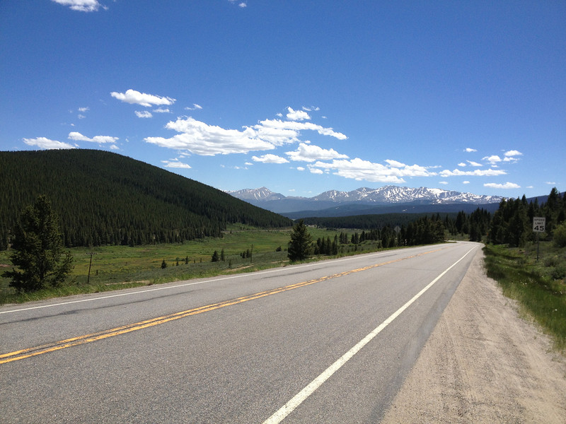
Sunday, June 23 - 498 miles
Once again, I was up with the morning light, but today would be the last day of slabbing as I expected to hit Winter Park in the afternoon.
Morning light in Salina...
At a truck stop in Bunker Hill, KS, found something you just don't see everyday...
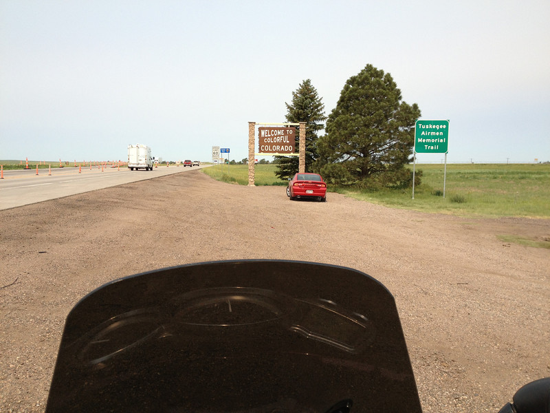
As is tradition, when entering Colorado, take a picture of the welcome mat...
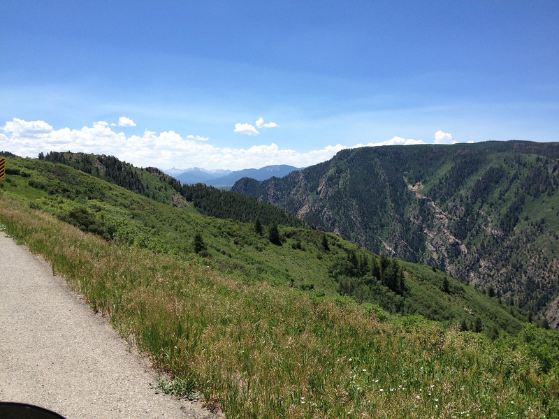
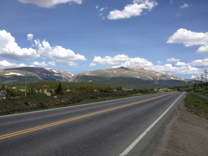
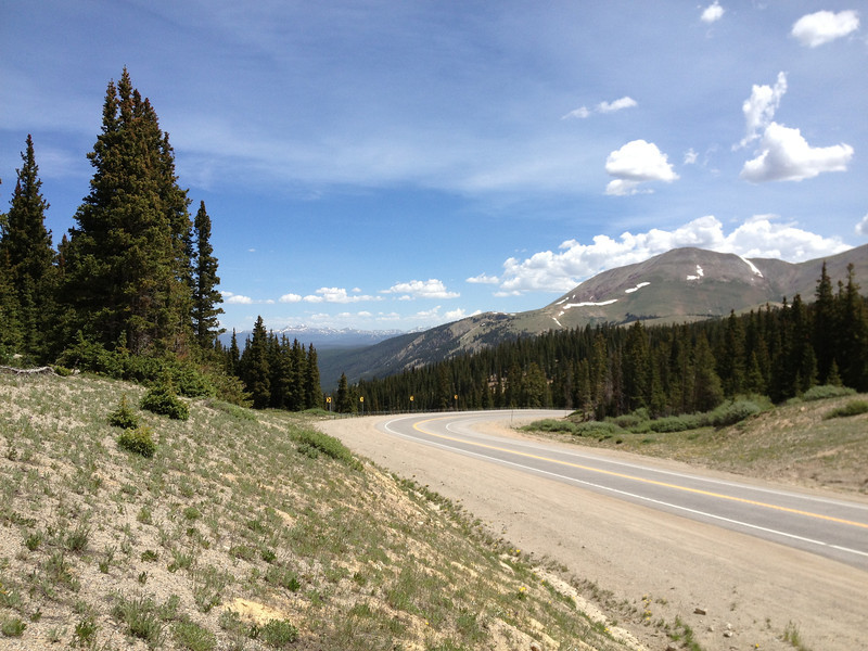
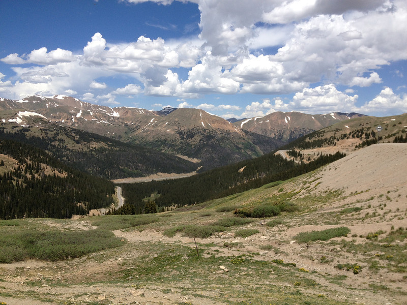
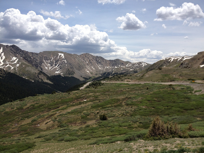
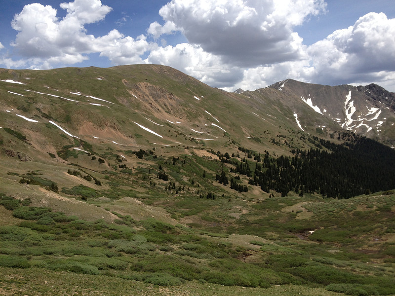
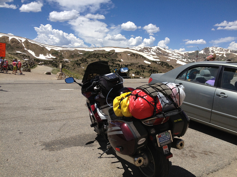
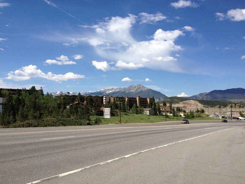
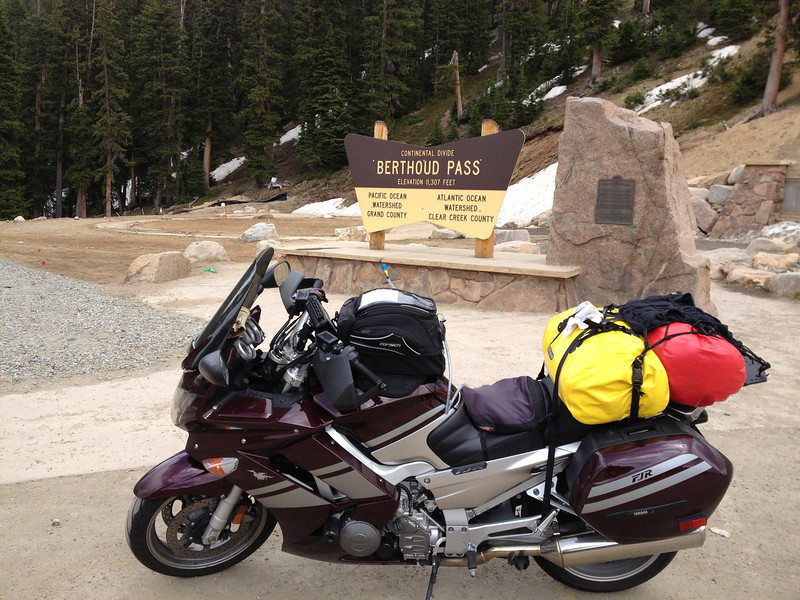
After blowing through the heat island of Denver as quickly as possible, I finally hit the mountains! I continued along I-70 until reaching US40 at Empire, where I headed north up Berthoud Pass. The pass wasn't in the best shape...it almost seemed like it hadn't seen work since I left the valley in the early '90's, lol. Still just as scenic...
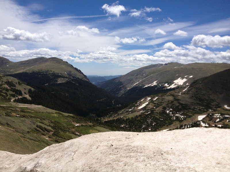
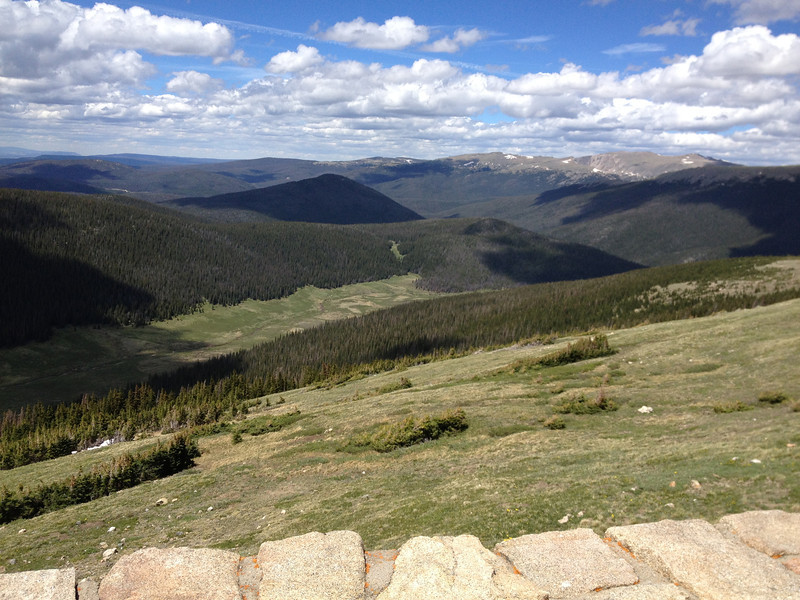
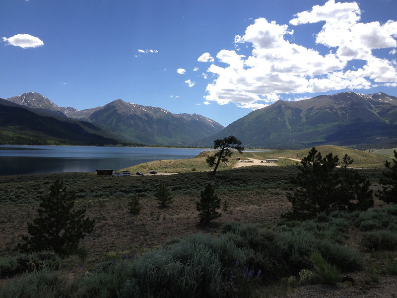
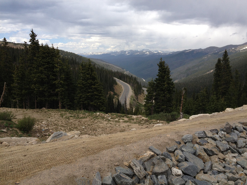
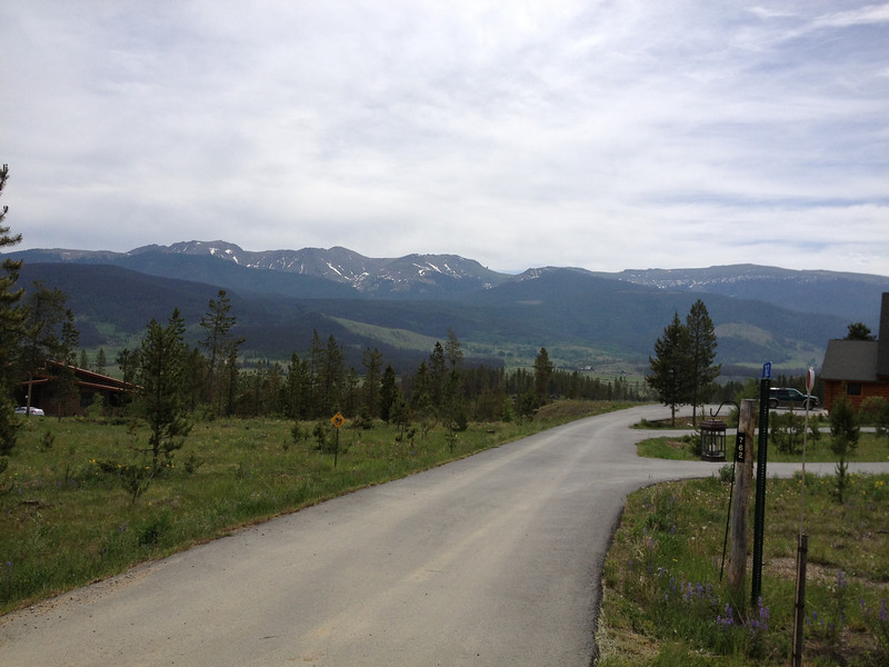
Looking north, down into the valley where my hometown of Winter Park lay. The Continental Divide runs down from the right side of the pic.
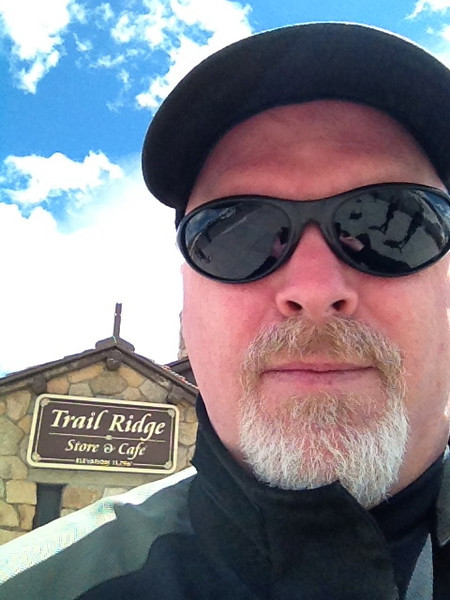
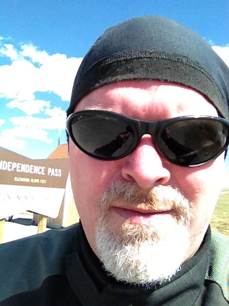
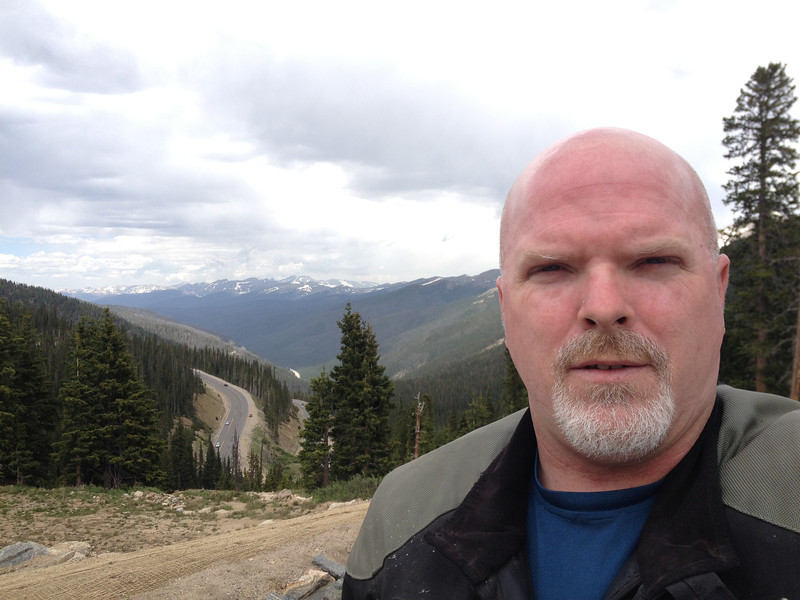
Sorry, can't help it. Self-promotion...I was thrilled to be here finally!
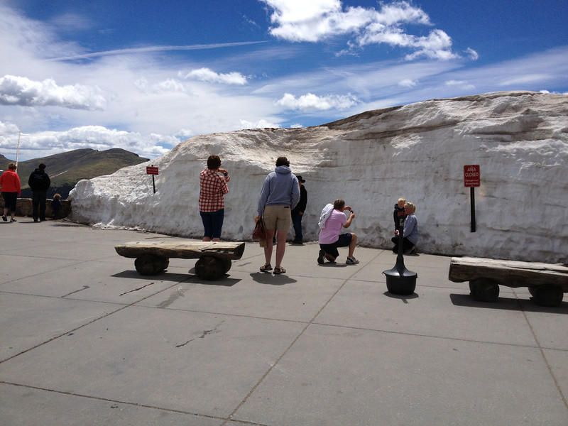
Rolled down the pass into my hometown valley and stopped at Winter Park Resort to meet up with my brother and nephew. The base area of Winter Park Resort...a bit of snow still remains.
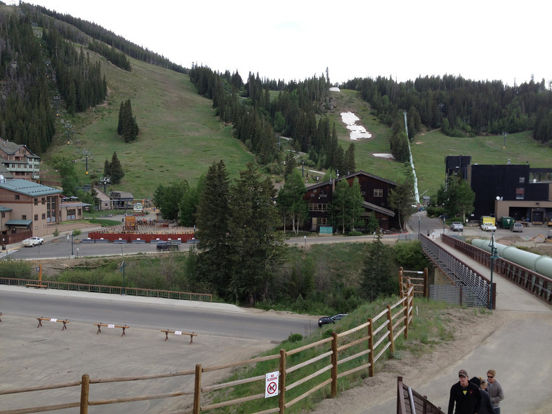
The ski area's changed a lot over the years and, for me, the base area is practically unrecognizable with the massive condo development sitting in what used to be a mega parking lot (left side of above photo). At least Balcony House (middle building) and West Portal (right building) looked familiar. My father used to work here as did I, year round, during my high school years; it was a fun job that included a season pass during the winters...which was awesome. Just out of frame right is the Moffat Tunnel that goes under the Continental Divide, over to the east slope. I probably should've snapped a pic, but I'd seen it thousands of times and couldn't be bothered.
After waiting a bit, my brother and his son returned from some mountain biking at the ski area. It was good to see both after a few years! We shot the bull for a bit then, as rain started to fall, my brother took off to finalize the condo we'd be renting for the next few days while I wandered down the road a bit past Winter Park to see how things had changed in the 20-odd years it'd been since I left town to enter the USMC.
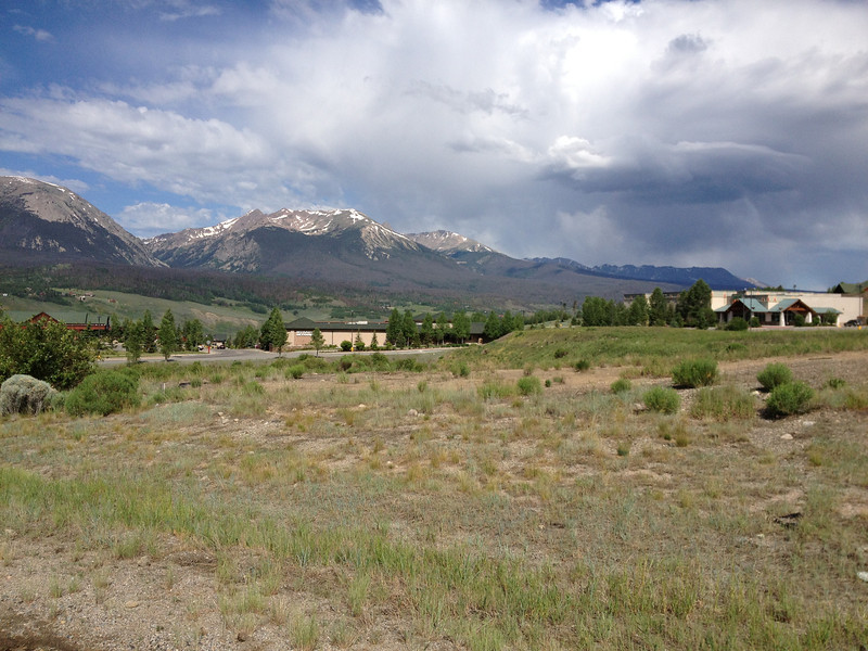
Between the towns of Fraser and Tabernash, off US40, looking back, south, towards Winter Park and a minor storm; Berthoud Pass lies beyond.
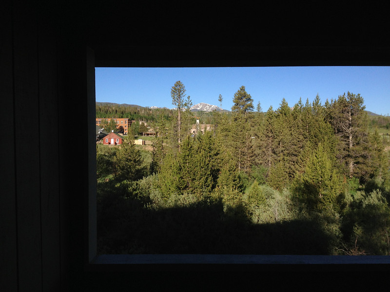
We finally settled into our rented condo for the next couple of days; the day slipped away...
Monday, June 24 - Winter Park.
Today was to be a non-riding day as my brother and I wanted to tour around the county and see how things had changed. My brother's been back here several times since our high school days, but I hadn't been back since around 1991 or so. Here's a quick tour of the area...
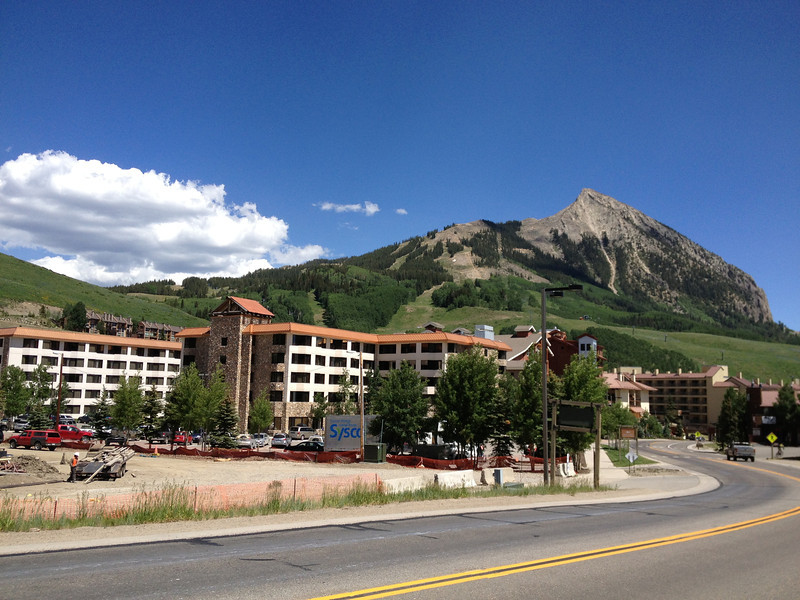
Looking up towards downtown Winter Park on a Monday morning; the ski area watching over the town. Rush hour? Ha.
The town center of Winter Park lies at around 9,000', and is apparently now the country's highest incorporated town as of 2006 with a peak elevation of 10,578' on some empty land thanks to annexation.
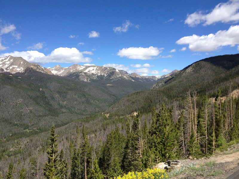
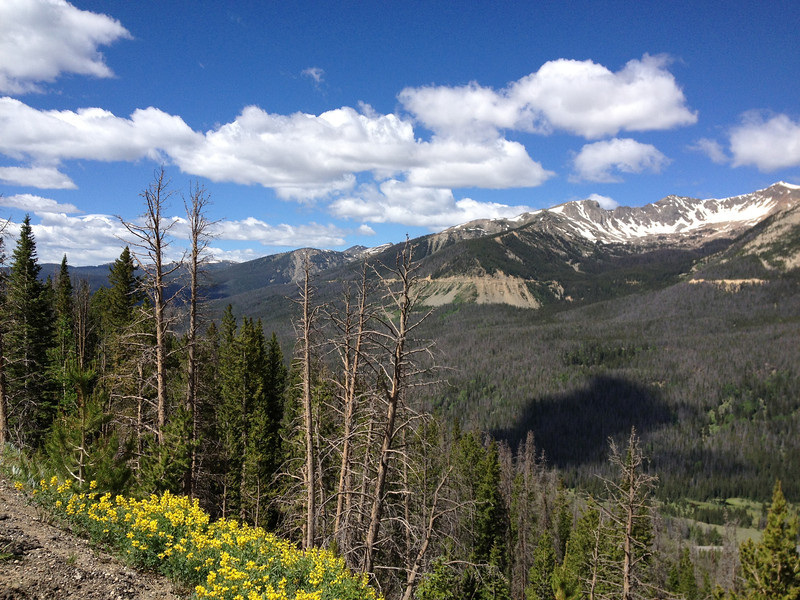
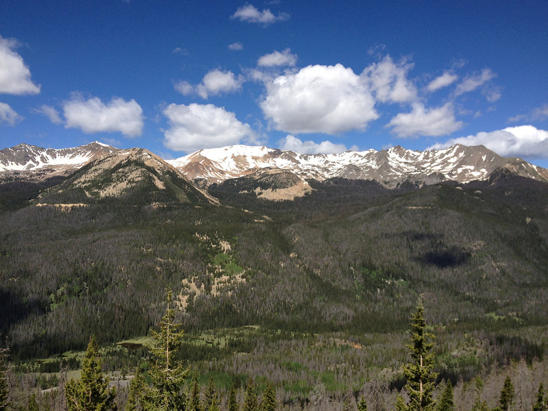
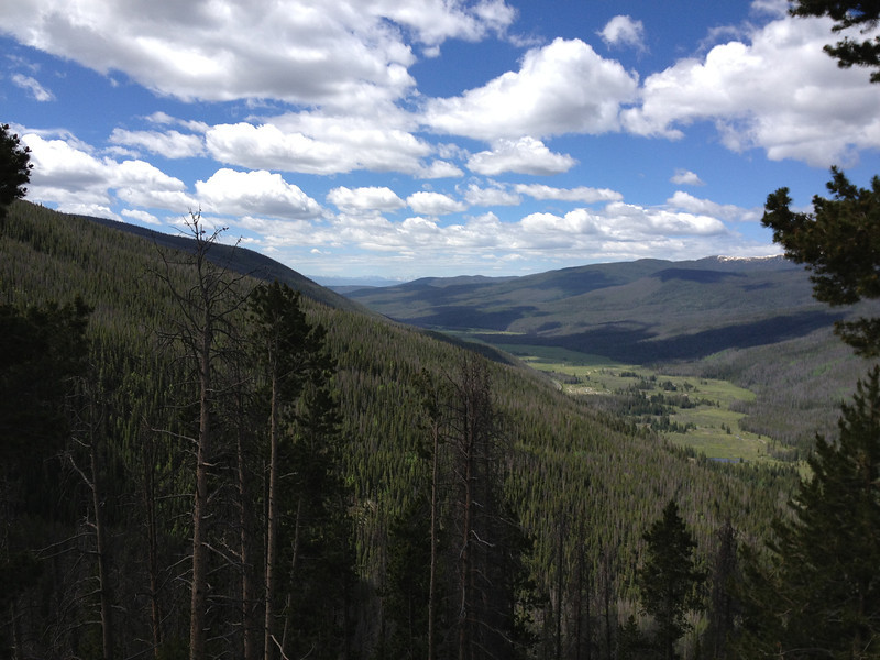
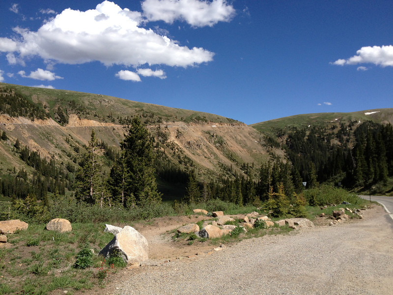
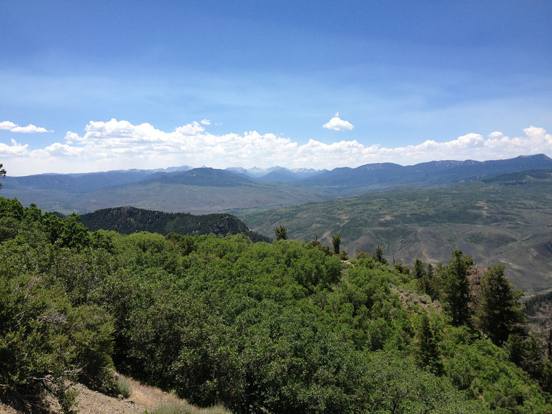
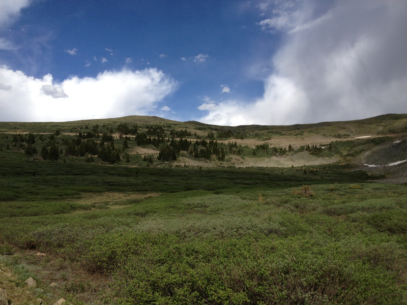
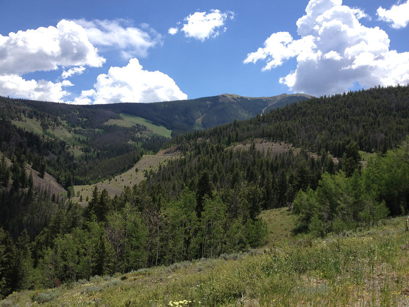
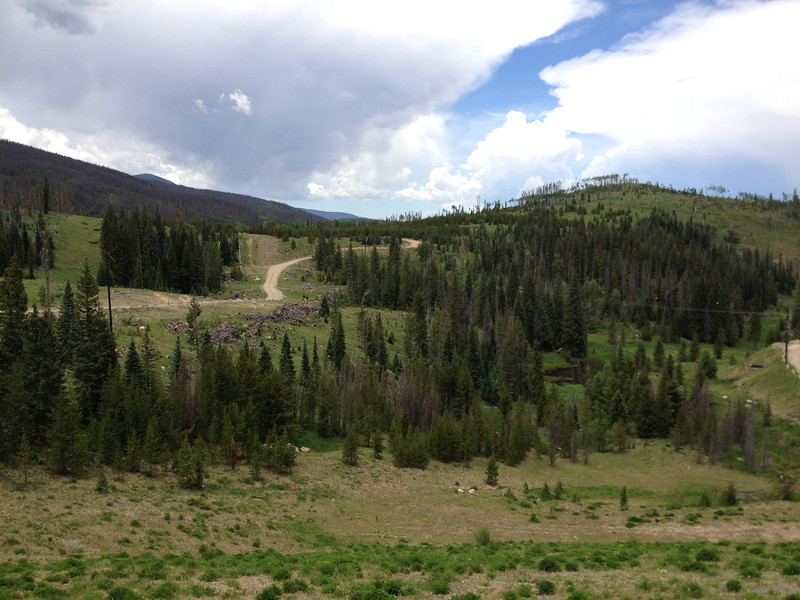
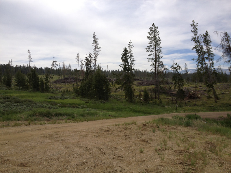
The largest notable feature that struck me is the extent to which the pine bark beetles have ravaged the forests of the valley and Colorado in general. Back in the '80's, the forests were thick with trees and the beetles were just starting to become a problem, but wow, they've been busy since then...there are wide swath's of forest either cleared thanks to them or in the process of being killed by them (the large gray patches of dead-standing forest are easy to spot). It was quite a shock to me. The swath's of dead trees essentially turn into firecrackers, waiting for a lightning strike to set them alight...we've unfortunately seen the fiery results over the past few years. To mitigate the risk of fire and rot fall, the dead trees are cut down and stacked, leading to large areas of clear cut. Some of trees are recycled into other uses, as we'll see later...
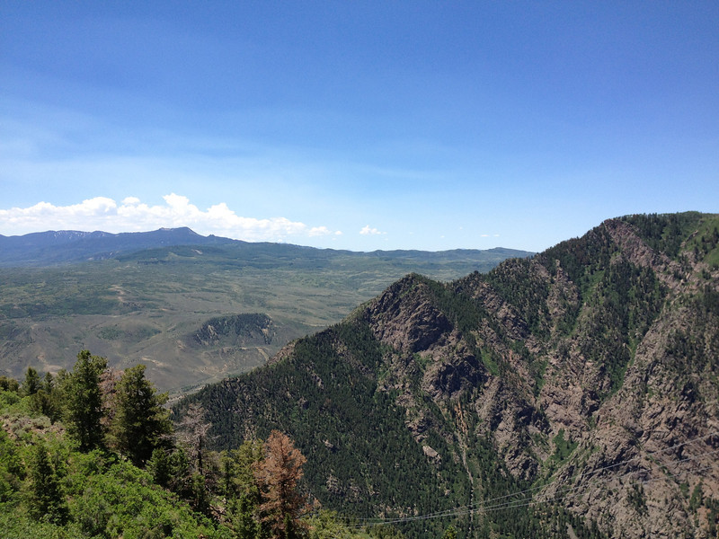
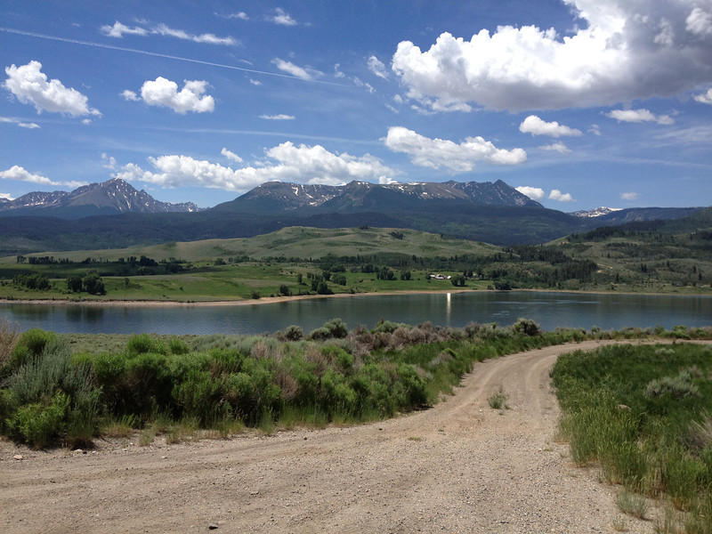
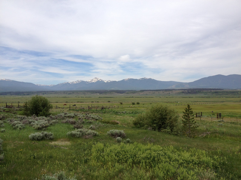
Our hometown valley, Byers Peak (12,804') is the "can't miss" feature...it's a fun climb when the conditions are decent.
Beetle-killed trees in our old neighborhood between Fraser and Tabernash, just down the road from Winter Park. You can see the stacks of cut-up dead trees...the most popular method of dealing with the beetle kill trees.
Our old digs as kids/teens. My parents bought the land and Boise Cascade built the house in sections and trucked it up from the front range and put it over the basement foundation...fascinating stuff for us kids, lol.
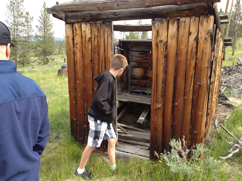
Our "neighborhood" was a loose collection of a few houses back in the '80's. It also included what we liked to call "The Ghost Town"...it was actually a logging camp or something like that from the early 1900's. It used to be a secluded, forest-locked collection of falling down structures. As kids, we found a lot of neat stuff there, including pieces of some rather nice plates. These days, thanks to the beetles, it's out in the open and what remains is quickly falling to the ravages of winter.
My nephew checking out the Ghost Town's outhouse.
Behind the ridge our old house is on, is a little valley that holds the Devils Thumb Ski Ranch. You can just see the pinnacle of rock that makes up Devil's Thumb up on the ridge of the Divide. Again, this used to be a heavily forested area...still beautiful country and it'll rebound eventually.
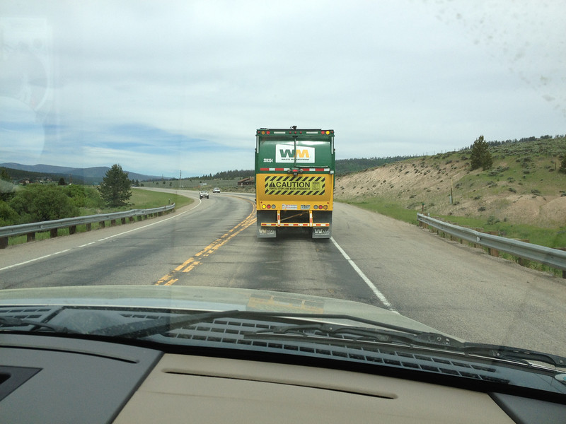
We're on US40 in my brother's pickup, heading over towards Granby here. The Waste Management truck ahead of us just finished trying to run us off the road while crossing a bridge; he missed us literally by an inch. He was doing at least 20 over and must've had somewhere important to be. My brother's LEO driving skills saved the day...
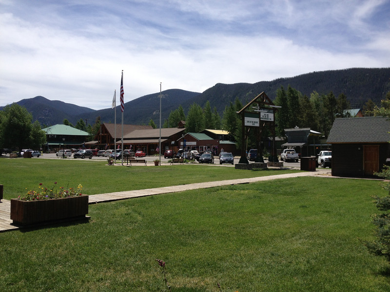
The town of Grand Lake, just outside the Rocky Mountain National Park. Grand Lake's really sleepy in the winter, but comes alive in the summer. I lived here in a nearby ranch/campground during the summer of '87 after I graduated high school in Granby and was awaiting my entry date into the Marine Corps.
We had some lunch in Grand Lake and then beat it back to Winter Park to do some fishing...our tour was over, lol.
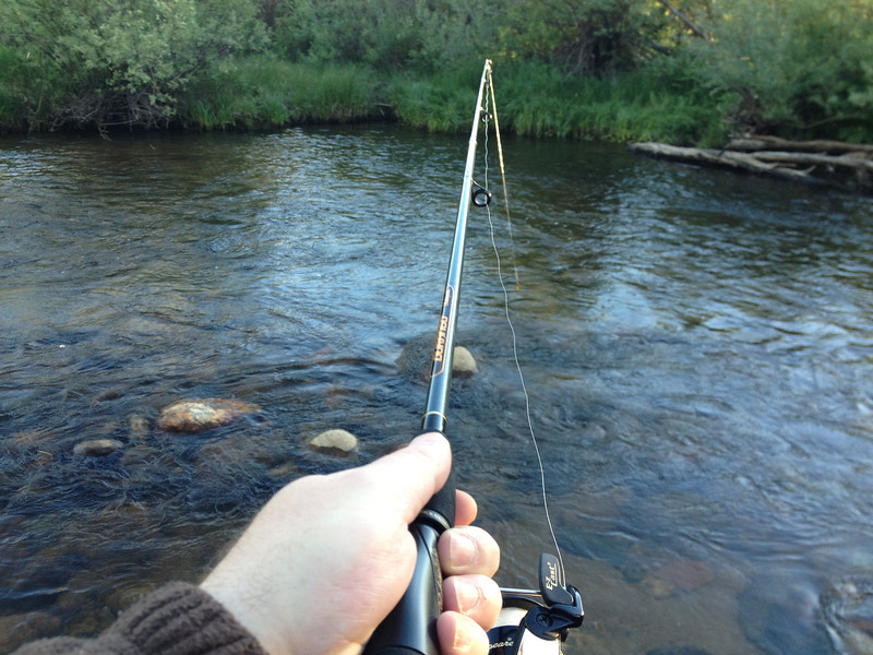
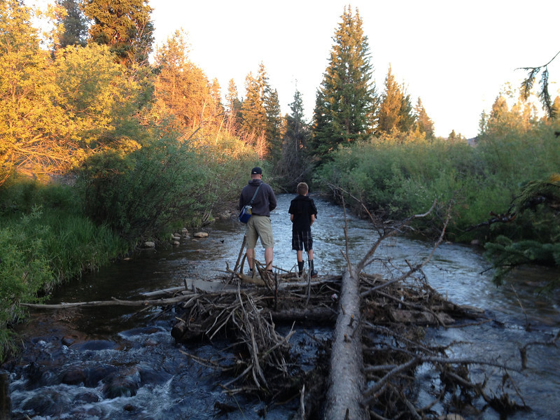
My brother working the creek outside our condo.
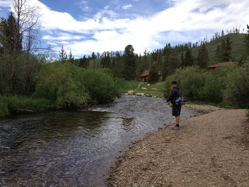
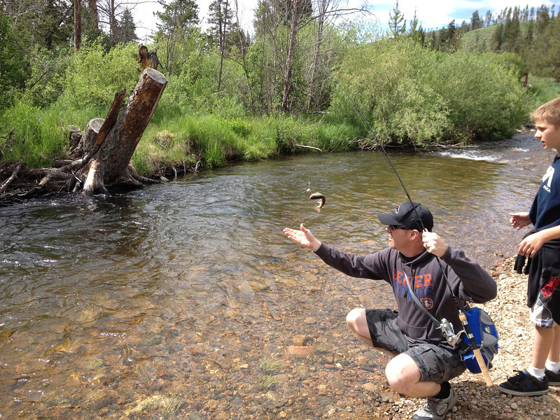
My brother pulling one in with his son looking on. The fish in the creek were Brook and Rainbow Trout...small, but sometimes up to 12". This creek was a bit tricky at times as snags were common.
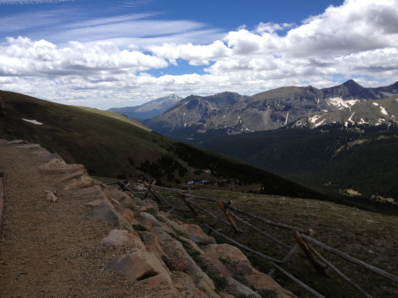
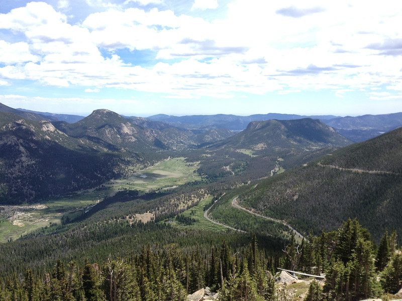
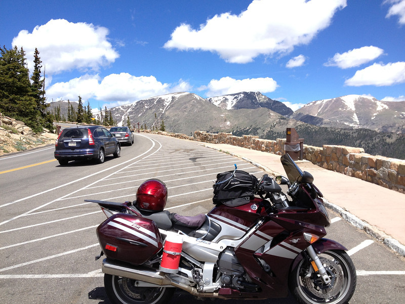
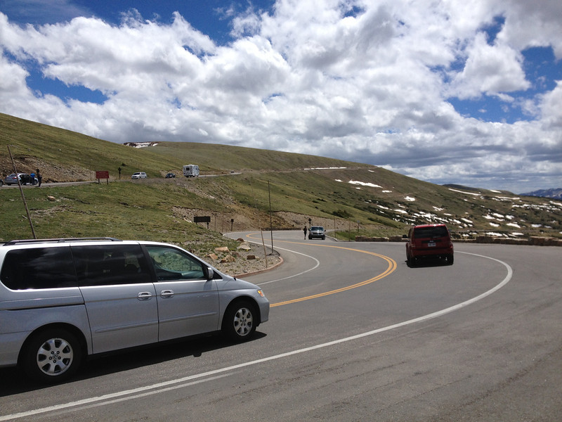
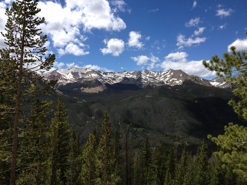
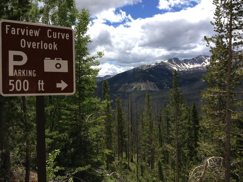
Tomorrow, on this trip, I'll be taking a day ride over to the Rocky Mountain National Park.
The next installment comes soon and I promise, there are many passes and great roads to come...
Dates: 6/21 - 7/6 2013
Total Trip Mileage: 5650 miles
Accommodations: Tent, Hotels, 3 days condo rental
Full Photo Collection, in various sizes, on SmugMug Here (clicky)
Camera: iPhone 4S...my Canon point and shoot camera died the night before I left, preventing "rolling shots".
For those interested in packing details, I'll cover that at the end.
I'm still putting this report together, so it will span a number of posts in this thread as I get them written.
I'd always dreamed about taking my FJR out to the high mountains of Colorado, where I spent most of my time growing up, but really didn't know if I'd ever get enough time or have the finances to put such an adventure together. Then in May, pigs flew. First, my brother (a SoCal FJR owner and forum member) and I offloaded some land we owned in TN kind of by surprise, then my brother put the thought in my head that I ought to ride my FJR out to meet him and his son in our hometown of Winter Park, CO while they enjoyed a father/son mountain biking and fishing trip. It was a slippery slope from there.
Getting two weeks off worked out pretty easily; our office is closed for the 4th of July week already, so tacking on a week and a day before that proved trouble-free, especially with my boss enamored with the idea of me riding across the country. With that, the major pieces were in place. Apart from the few days I was going to be hanging with my brother and nephew, the plan was to meander around Colorado and see where the road took me with no real schedule other than when I wanted to be back home. I also planned to mix tent camping and hotels, depending how I found myself at the end of each day. I'd originally planned to hit Utah and Arizona as well, but the 110+ heatwave they were having put me off that. That said, I did get a tiny piece of those states near the end of the trip...
Preparing the bike for the distance wasn't anything out of the ordinary. I mounted a new PR3 rear and PR2 front (no real reason for the mix...I love both versions), changed the engine and pumpkin oil, topped off the cooling reservoir, checked my brakes, and double-checked my accessory wiring. I also bought and installed Gary's (Garuald) excellent hydration system to replace my suit-vent-blocking Camelbak. Earlier this year, I'd installed a CalSci tinted shorty screen for better cooling (works great) and opted to keep it installed for the trip.
Friday, June 21, 2013 - 675 miles
Here, the bike's all packed and raring to go...
The plan for getting out to Colorado was simple...slab it. While I would've loved to mosey my way out there, I figured it was best to get there relatively fast THEN mosey. I left early on Friday, the 21st with plans to meet my brother on Sunday afternoon, when he arrived in Winter Park.
RIDER TIP: If you're going to take I-40 into or out of NC at the TN border, it might be worthwhile to check the condition of I-40 through the Pigeon River Gorge prior to hitting it as its prone to accidents and rock slides. As I was about 1/4 of the way through, I saw a massive overturned logging truck accident on the eastbound side...the stoppage looked to be around 12 miles long and apparently lasted a few hours. Here, I'm miles away from the accident at the last westbound NC rest area and traffic is stopped dead just over the dividing wall...that had to suck bigtime. I lucked out.
I stuck to I-40 until Nashville, where I jumped on I-24 and kept heading west. The weather was hot and humid, with the occasional cooling rain shower, but traffic wasn't too bad and I made pretty good time. At Cadiz, KY, I found a nice Super 8 and called it a day with 675 miles done for the day.
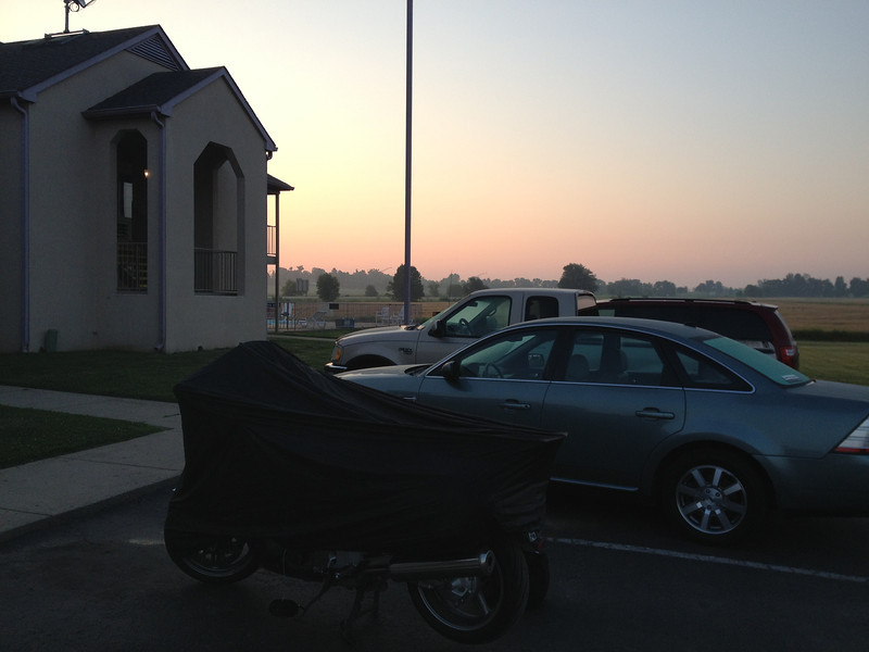
Sunrise the next day...the bike patiently waits.
Saturday, June 22 - 657 miles
I woke up with the sunrise, packed up, and hit the road, continuing up I-24 to I-57 and then I-64 towards St. Louis and I-70. While stopping in Illinois for fuel, I noticed that my right fork seal had started to leak...it didn't appear to be too bad and hadn't traveled down the fork leg much or blown onto my leg, so I wiped it down and planned to dig into it that night at the hotel.
Stopped in Lake St. Louis at one of my favorite eateries that we don't have in my area. My only complaint was that they brought my baked beans out too early...I like to dip my fries in the beans, but by the time my burger and fires arrived, the beans were gone.
While eating lunch, I missed out on the only real rain storm of the day...darn...
As the day wore on, the crosswinds increased. At a truck stop to fuel up, the tv weather said 60-70mph crosswinds...yep, it was a lot of fun (not) fighting those crosswinds. At one of the rest areas, I met a Super Tenere rider heading to New Mexico, via Colorado. Interesting guy with a long history of long rides...he wasn't enjoying the crosswinds either, nor the 90+ heat that had me draining my 1/2 gallon jug at a pretty fast rate...refilling at truck stops & convenience stores was painless.
I detoured around the I-70 toll section in Kansas City and took US24 all the way to Topeka before rejoining I-70. The detour wasn't that bad and was actually a nice break from the slab; it tried to rain a little bit, but only a few drops fell.
The crosswinds continued to be the theme of the afternoon. At the rest area between Topeka and Junction City, this fella with the boat, who'd been tailing me for many miles on I-70, looked about as tired as I was from battling the winds. He wasn't having fun, but remarked it was probably better than what I was dealing with...
After an afternoon of crosswind battle, I pulled into a Motel 6 at Salina, Kansas and called it a day after 657 miles. The left side of my body was sore from the bludgeoning crosswind and the cold AC in the hotel room felt awesome. Still had work to do though, as I pulled out my Seal Mate and set about correcting the weeping fork seal; the Seal Mate worked. The fork seal would not leak again for the entire trip...in fact, the bike was flawless for the remainder of the trip.
Sunday, June 23 - 498 miles
Once again, I was up with the morning light, but today would be the last day of slabbing as I expected to hit Winter Park in the afternoon.
Morning light in Salina...
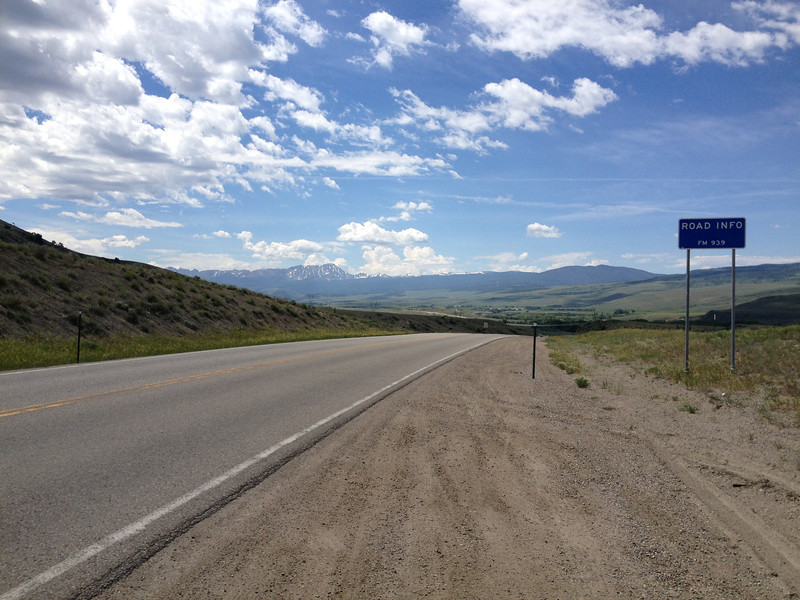
At a truck stop in Bunker Hill, KS, found something you just don't see everyday...
As is tradition, when entering Colorado, take a picture of the welcome mat...
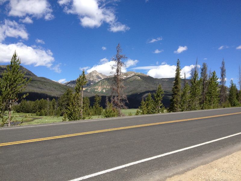
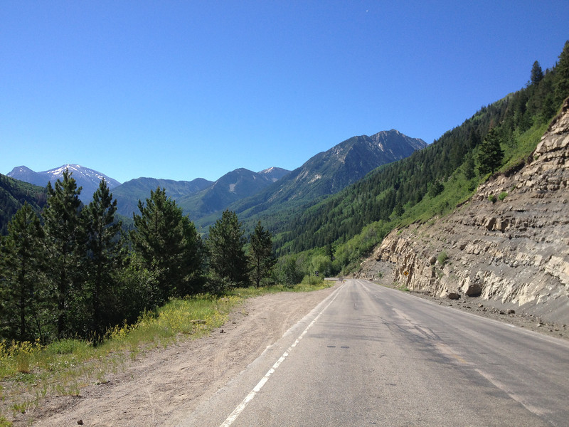
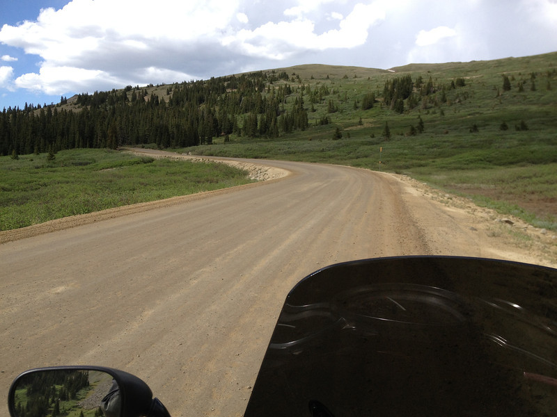
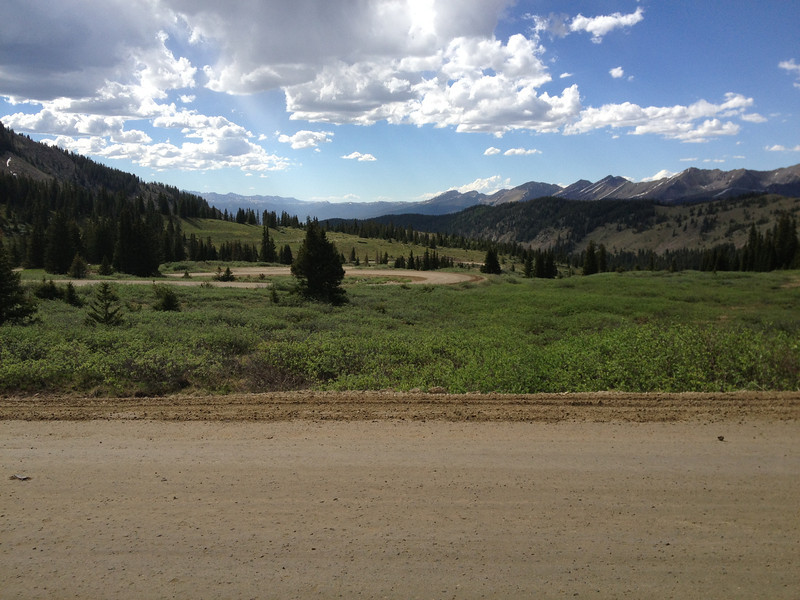
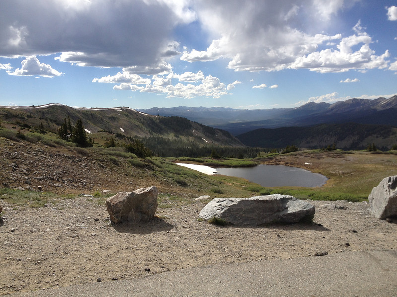
After blowing through the heat island of Denver as quickly as possible, I finally hit the mountains! I continued along I-70 until reaching US40 at Empire, where I headed north up Berthoud Pass. The pass wasn't in the best shape...it almost seemed like it hadn't seen work since I left the valley in the early '90's, lol. Still just as scenic...
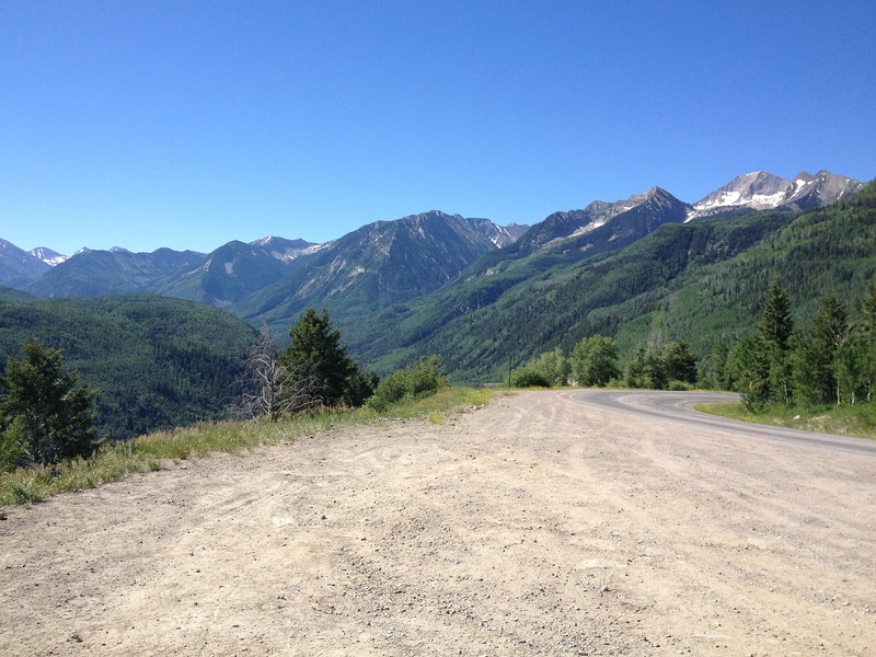
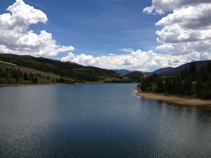
Looking north, down into the valley where my hometown of Winter Park lay. The Continental Divide runs down from the right side of the pic.
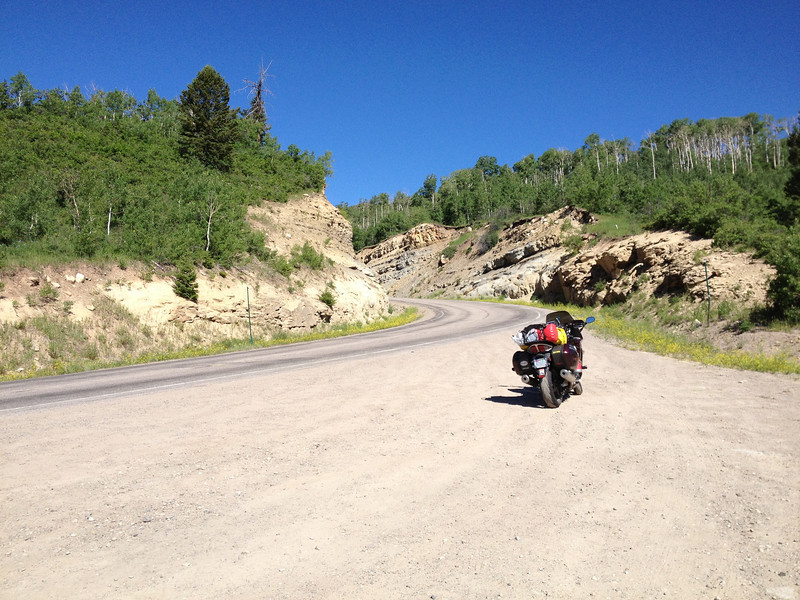
Sorry, can't help it. Self-promotion...I was thrilled to be here finally!
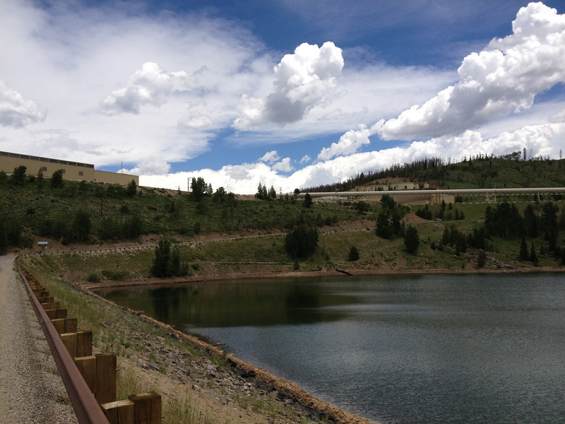
Rolled down the pass into my hometown valley and stopped at Winter Park Resort to meet up with my brother and nephew. The base area of Winter Park Resort...a bit of snow still remains.
The ski area's changed a lot over the years and, for me, the base area is practically unrecognizable with the massive condo development sitting in what used to be a mega parking lot (left side of above photo). At least Balcony House (middle building) and West Portal (right building) looked familiar. My father used to work here as did I, year round, during my high school years; it was a fun job that included a season pass during the winters...which was awesome. Just out of frame right is the Moffat Tunnel that goes under the Continental Divide, over to the east slope. I probably should've snapped a pic, but I'd seen it thousands of times and couldn't be bothered.
After waiting a bit, my brother and his son returned from some mountain biking at the ski area. It was good to see both after a few years! We shot the bull for a bit then, as rain started to fall, my brother took off to finalize the condo we'd be renting for the next few days while I wandered down the road a bit past Winter Park to see how things had changed in the 20-odd years it'd been since I left town to enter the USMC.
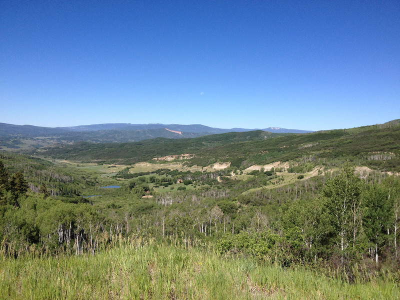
Between the towns of Fraser and Tabernash, off US40, looking back, south, towards Winter Park and a minor storm; Berthoud Pass lies beyond.
We finally settled into our rented condo for the next couple of days; the day slipped away...
Monday, June 24 - Winter Park.
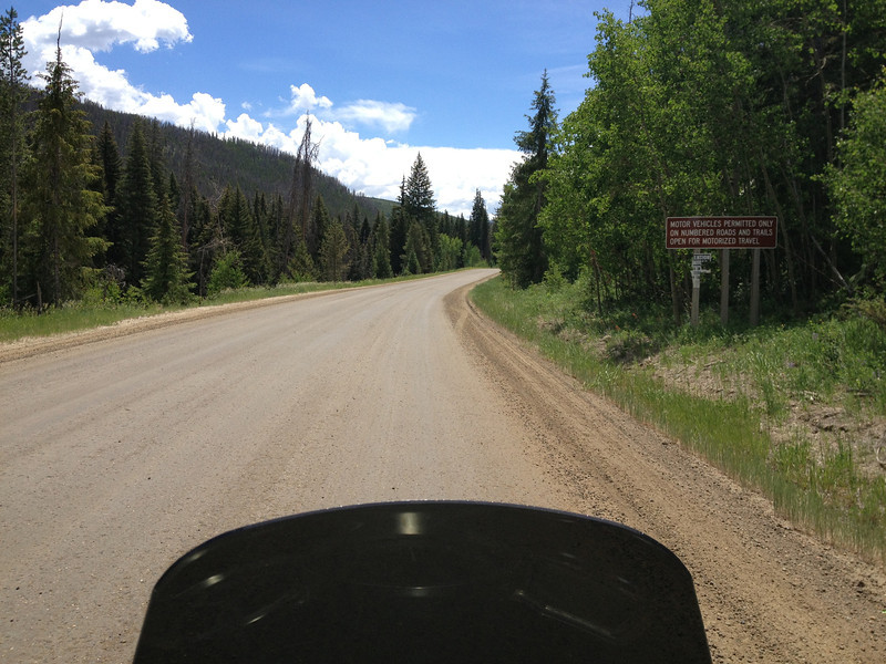
Today was to be a non-riding day as my brother and I wanted to tour around the county and see how things had changed. My brother's been back here several times since our high school days, but I hadn't been back since around 1991 or so. Here's a quick tour of the area...
Looking up towards downtown Winter Park on a Monday morning; the ski area watching over the town. Rush hour? Ha.
The town center of Winter Park lies at around 9,000', and is apparently now the country's highest incorporated town as of 2006 with a peak elevation of 10,578' on some empty land thanks to annexation.
The largest notable feature that struck me is the extent to which the pine bark beetles have ravaged the forests of the valley and Colorado in general. Back in the '80's, the forests were thick with trees and the beetles were just starting to become a problem, but wow, they've been busy since then...there are wide swath's of forest either cleared thanks to them or in the process of being killed by them (the large gray patches of dead-standing forest are easy to spot). It was quite a shock to me. The swath's of dead trees essentially turn into firecrackers, waiting for a lightning strike to set them alight...we've unfortunately seen the fiery results over the past few years. To mitigate the risk of fire and rot fall, the dead trees are cut down and stacked, leading to large areas of clear cut. Some of trees are recycled into other uses, as we'll see later...
Our hometown valley, Byers Peak (12,804') is the "can't miss" feature...it's a fun climb when the conditions are decent.
Beetle-killed trees in our old neighborhood between Fraser and Tabernash, just down the road from Winter Park. You can see the stacks of cut-up dead trees...the most popular method of dealing with the beetle kill trees.
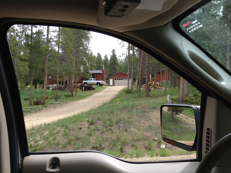
Our old digs as kids/teens. My parents bought the land and Boise Cascade built the house in sections and trucked it up from the front range and put it over the basement foundation...fascinating stuff for us kids, lol.
Our "neighborhood" was a loose collection of a few houses back in the '80's. It also included what we liked to call "The Ghost Town"...it was actually a logging camp or something like that from the early 1900's. It used to be a secluded, forest-locked collection of falling down structures. As kids, we found a lot of neat stuff there, including pieces of some rather nice plates. These days, thanks to the beetles, it's out in the open and what remains is quickly falling to the ravages of winter.
My nephew checking out the Ghost Town's outhouse.
Behind the ridge our old house is on, is a little valley that holds the Devils Thumb Ski Ranch. You can just see the pinnacle of rock that makes up Devil's Thumb up on the ridge of the Divide. Again, this used to be a heavily forested area...still beautiful country and it'll rebound eventually.
We're on US40 in my brother's pickup, heading over towards Granby here. The Waste Management truck ahead of us just finished trying to run us off the road while crossing a bridge; he missed us literally by an inch. He was doing at least 20 over and must've had somewhere important to be. My brother's LEO driving skills saved the day...
The town of Grand Lake, just outside the Rocky Mountain National Park. Grand Lake's really sleepy in the winter, but comes alive in the summer. I lived here in a nearby ranch/campground during the summer of '87 after I graduated high school in Granby and was awaiting my entry date into the Marine Corps.
We had some lunch in Grand Lake and then beat it back to Winter Park to do some fishing...our tour was over, lol.
My brother working the creek outside our condo.
My brother pulling one in with his son looking on. The fish in the creek were Brook and Rainbow Trout...small, but sometimes up to 12". This creek was a bit tricky at times as snags were common.
Tomorrow, on this trip, I'll be taking a day ride over to the Rocky Mountain National Park.
The next installment comes soon and I promise, there are many passes and great roads to come...
Last edited by a moderator: