hppants
Well-known member
From the Merriam-Webster Dictionary:
Bay·ou - noun \ˈbī-(ˌ)ü, -(ˌ)ō\ : an area of water in the southern U.S. in which the water moves very slowly and is filled with many plants.
Here’s a famous Cajun riddle:
What’s the loneliest Bayou in Louisiana?
Bayou Self
The Monday after Easter is a State holiday and normally as a State employee, I’m given the day off. Quite often I go camping over the 4-day weekend, but my boss scheduled an exercise for us on Monday, so I dutifully stayed close to home. Over the weekend, that exercise was cancelled, so I found myself with a free day and no prior commitments.
Now then, what pray tell will I do with myself?
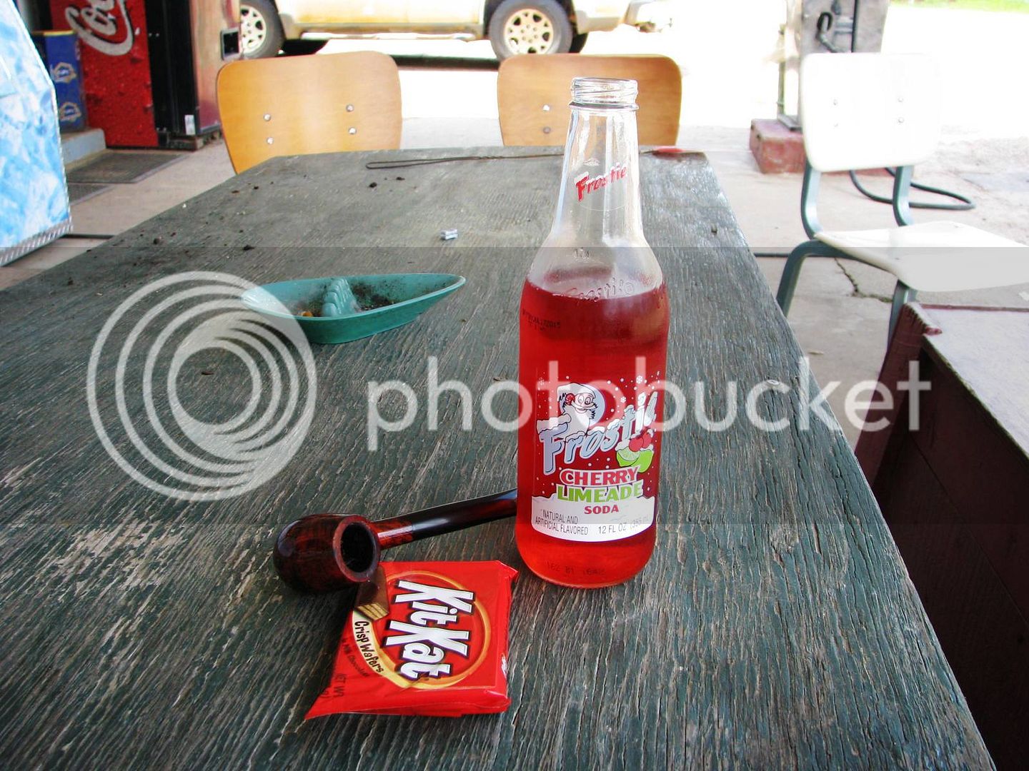
The decision took all of about 30 seconds. At the end of the day, it was about 450 miles of wonderful adventure. I packed a sandwich and some water and left the house about 6:00 am under some dense fog and an unseasonably cool 60 degrees. By mid-morning, I’m stripped down to just the mesh jacket and was fairly comfortable as it warmed up into the lower 80’s. I pulled back into the driveway about 6:30 pm, my arse quite sore but otherwise no worse for the wear. I guess it goes without saying, but my FJR ran flawlessly – I’ve got a good one here, man.
The only plan I made was to find some waterfront. It was way too late to include anyone else in the ride, so I eagerly made the decision to go…
Bayou Self.
Hope you enjoy the pics.
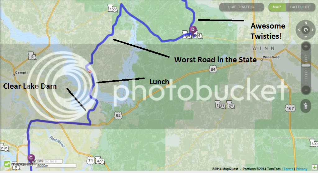
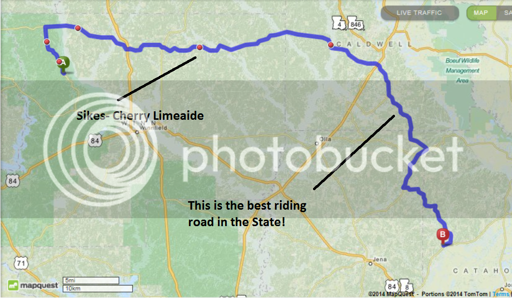
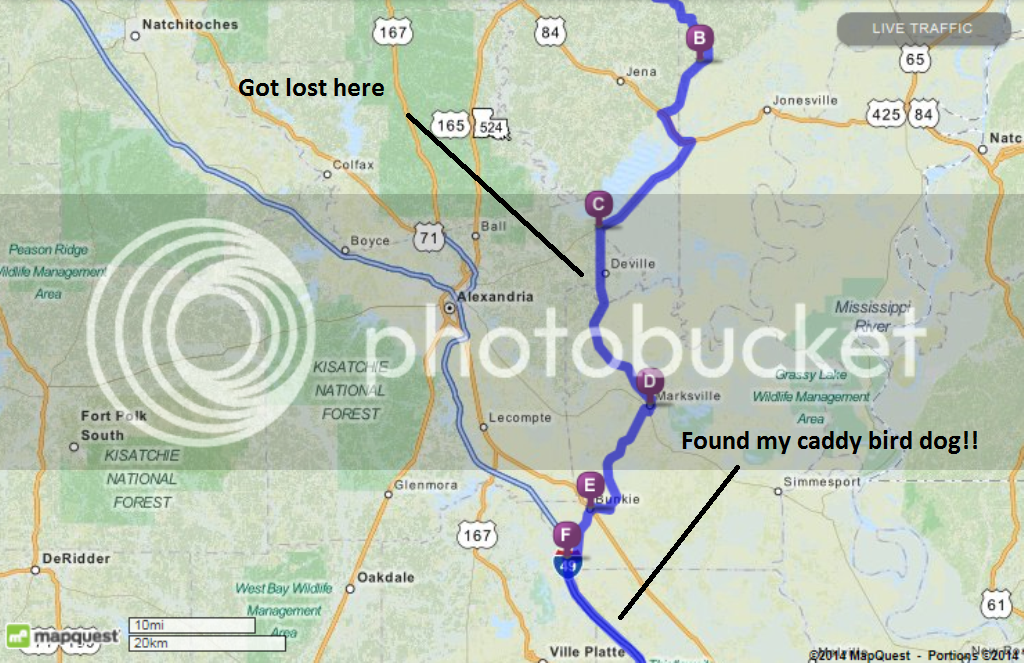
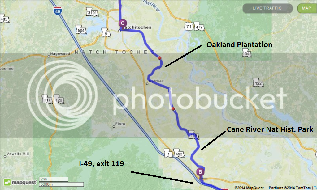
Stage 1 – Lafayette to Natchitoches, approximately 150 miles.
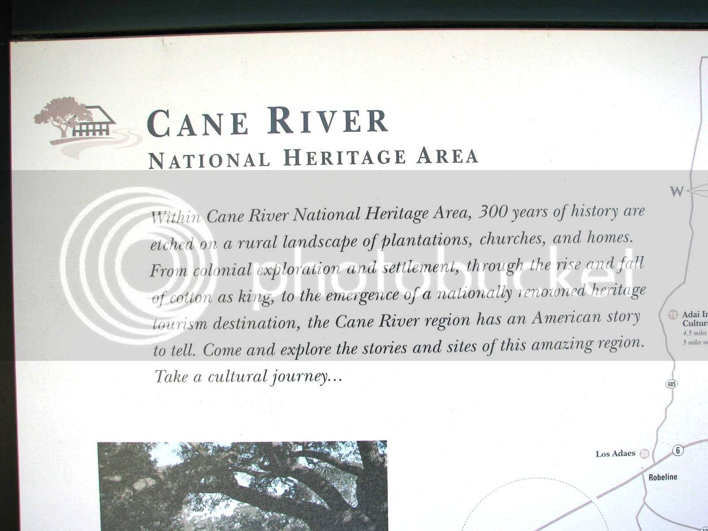
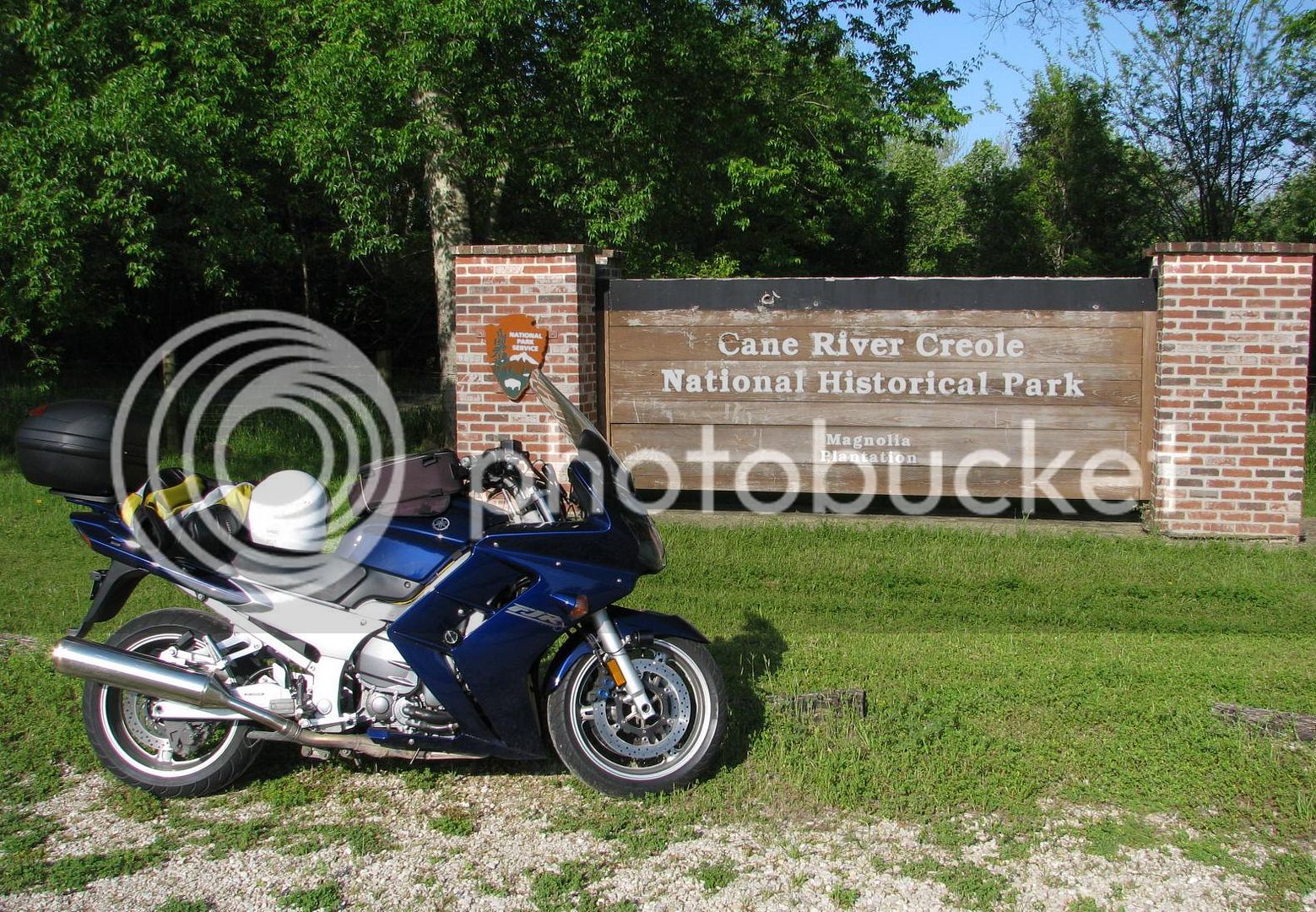
The dense fog in Lafayette early in the morning was horrible. I decided to head north quick and get away from the coast, hoping for some more visibility. That took a while - I rode north on I-49 about 120 miles, finally exiting at Derry, Louisiana, in the midst of the Kistachie National Forest. Off the slab, I pulled over to drink some water and this sign caught my eye.
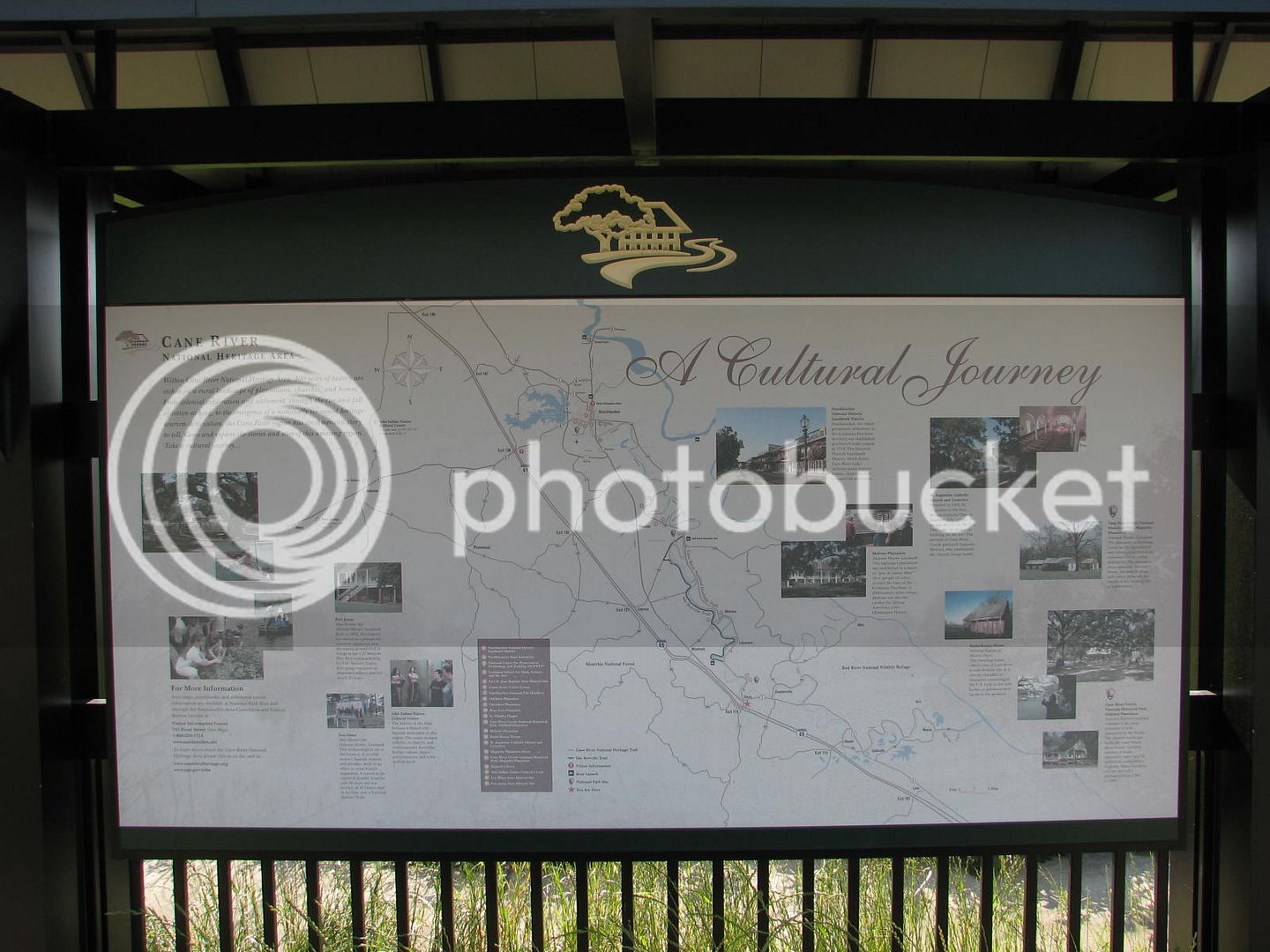
I read this paragraph and it really seemed interesting. So, off I went in that direction.
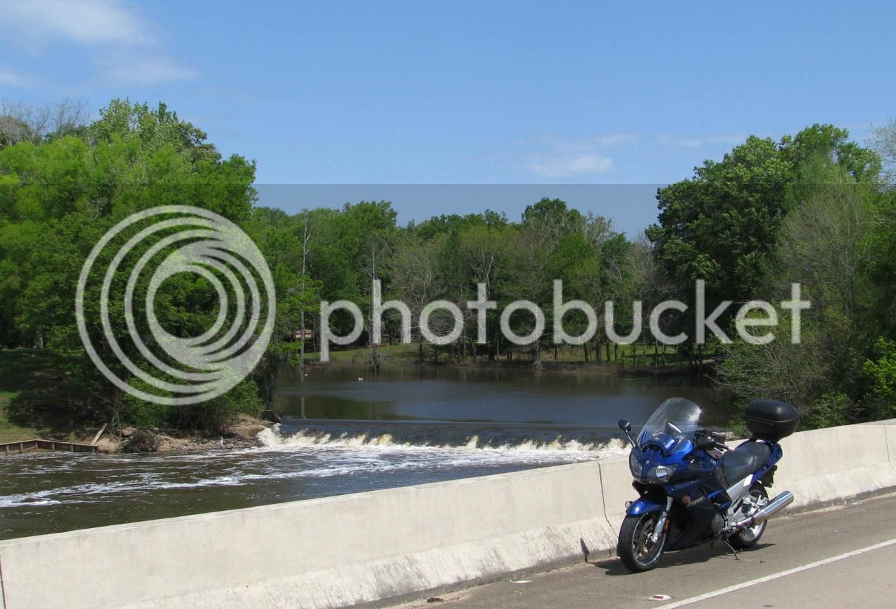
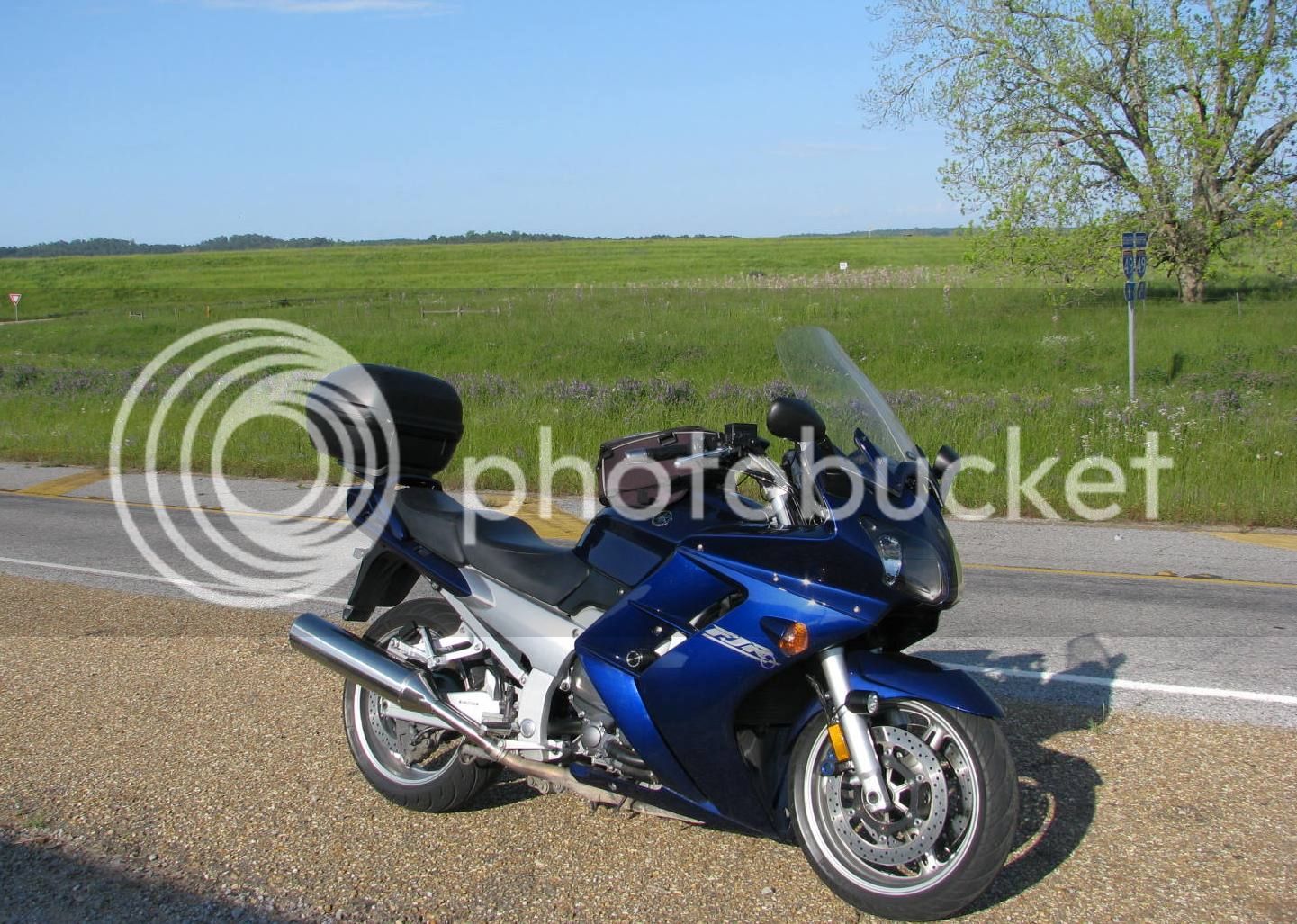
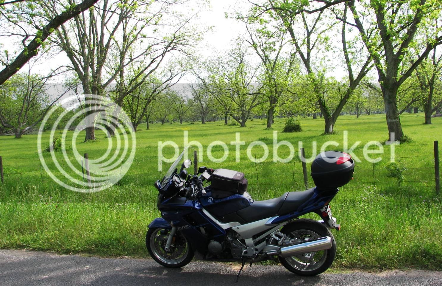
My bike is looking pretty sharp in the Spring time sun! This is how I usually day trip – leave the saddlebags home, and take the top box for essentials.
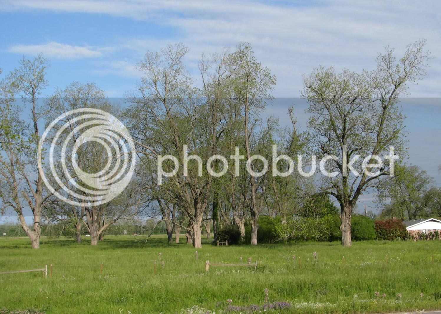
An old wives tale here assures that if the Pecan Trees have budded, there’s no chance for any more cold weather. I’d say we are in good shape, mid morning and we are already well into the 70s.
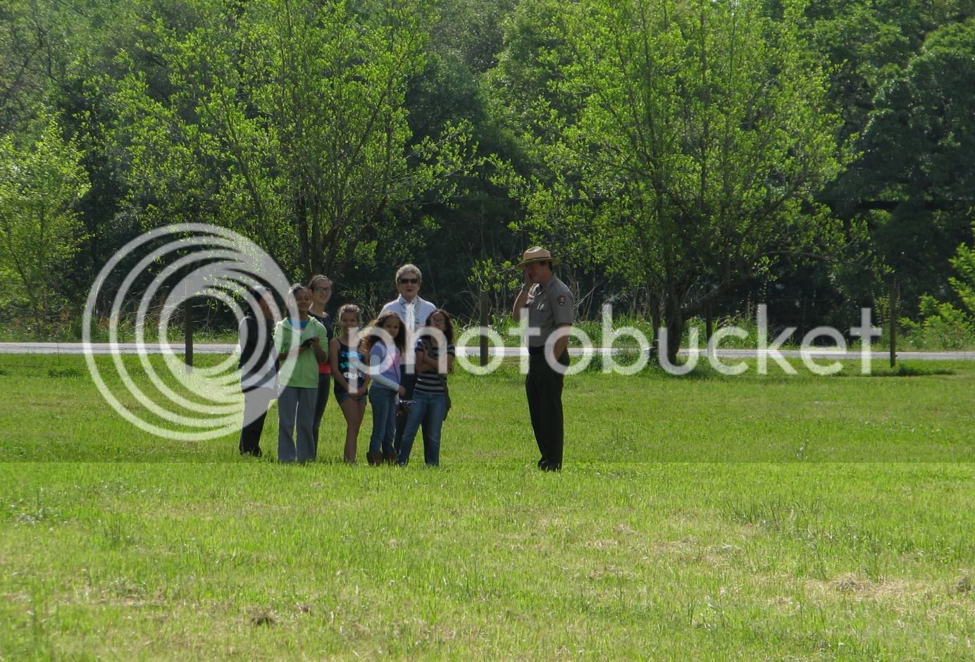
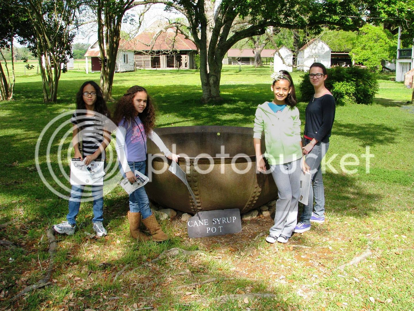
A short ride takes me to the Historical Park.
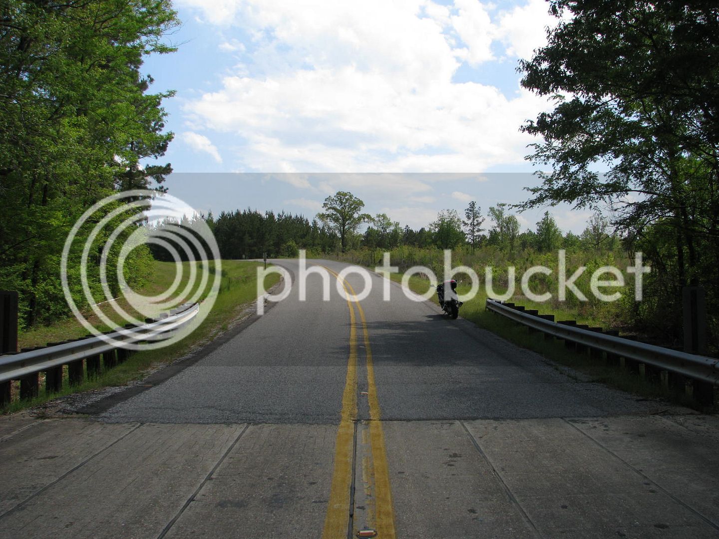
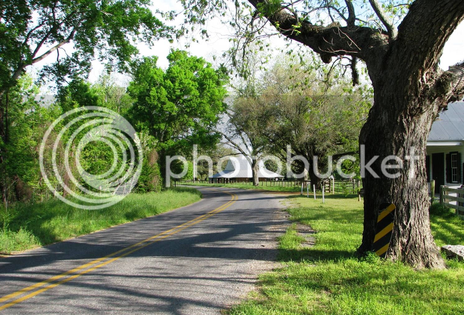
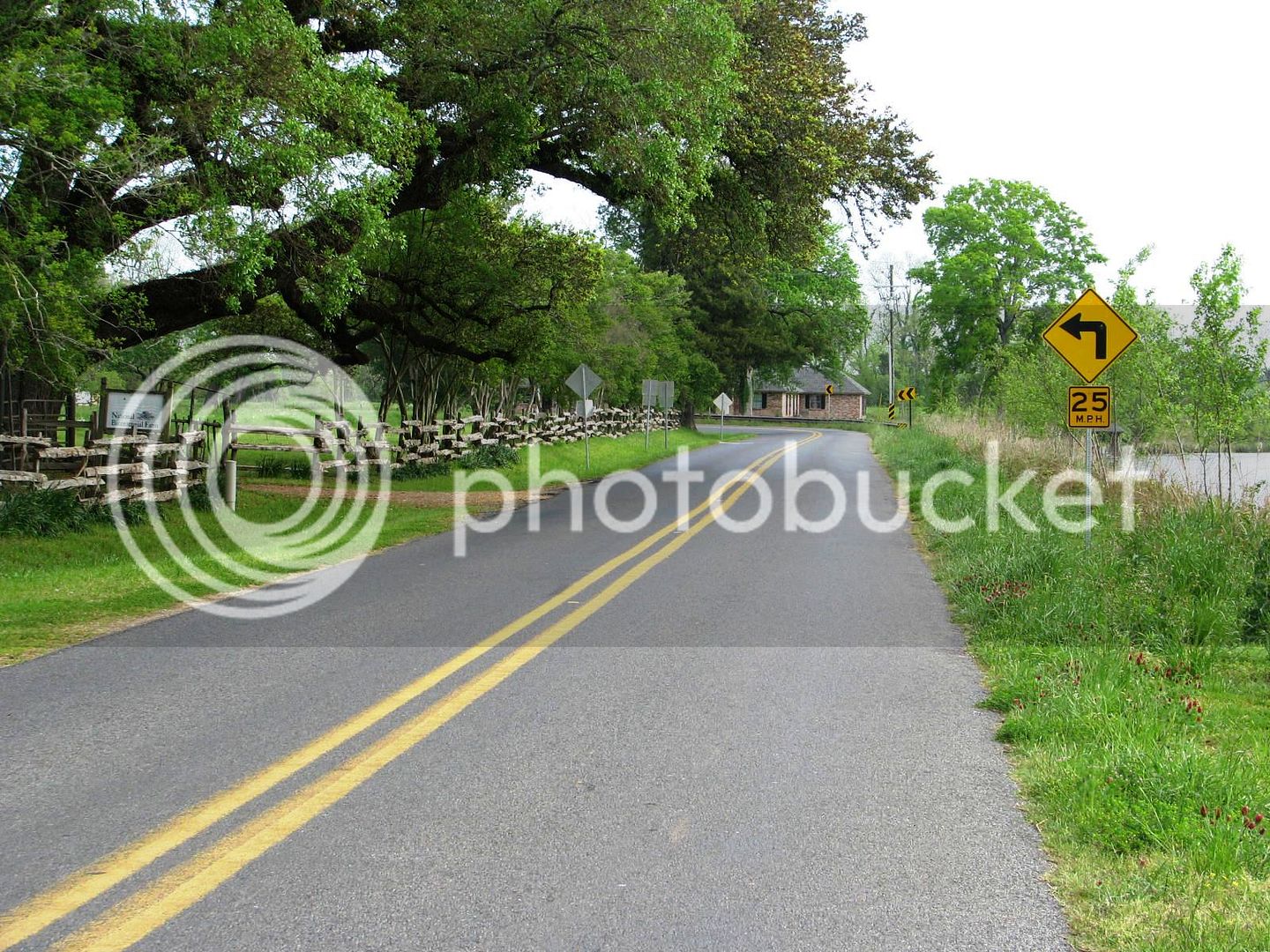
Hwy 119 there is a wonderfully curvy, yet desolate stretch of pavement on this day.
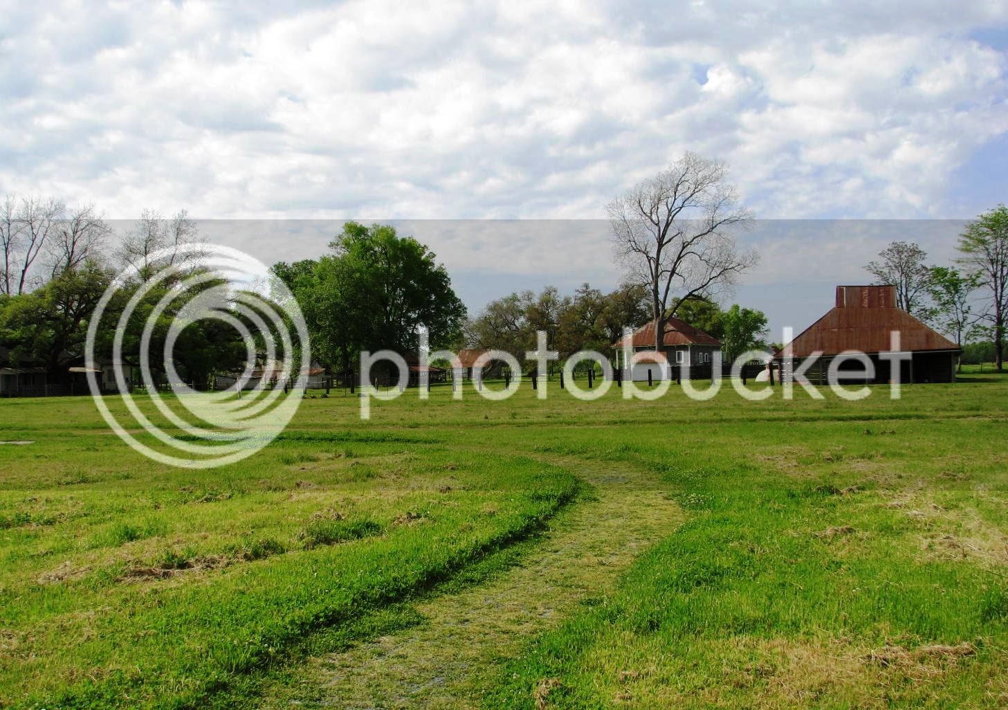
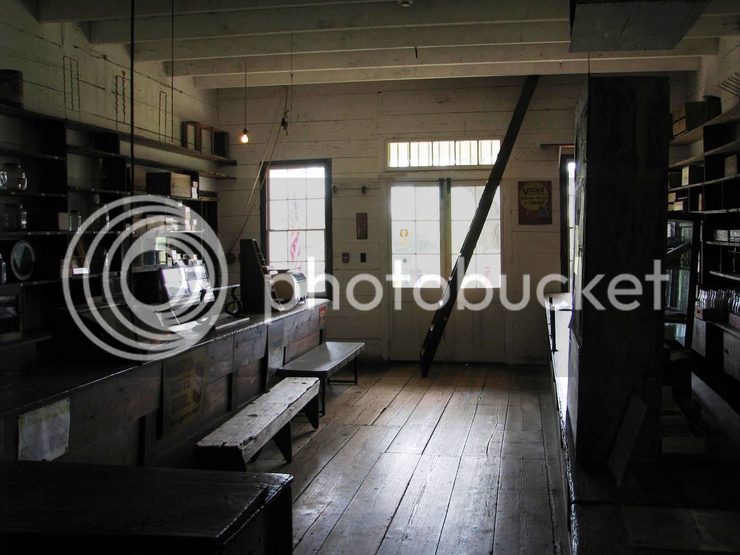
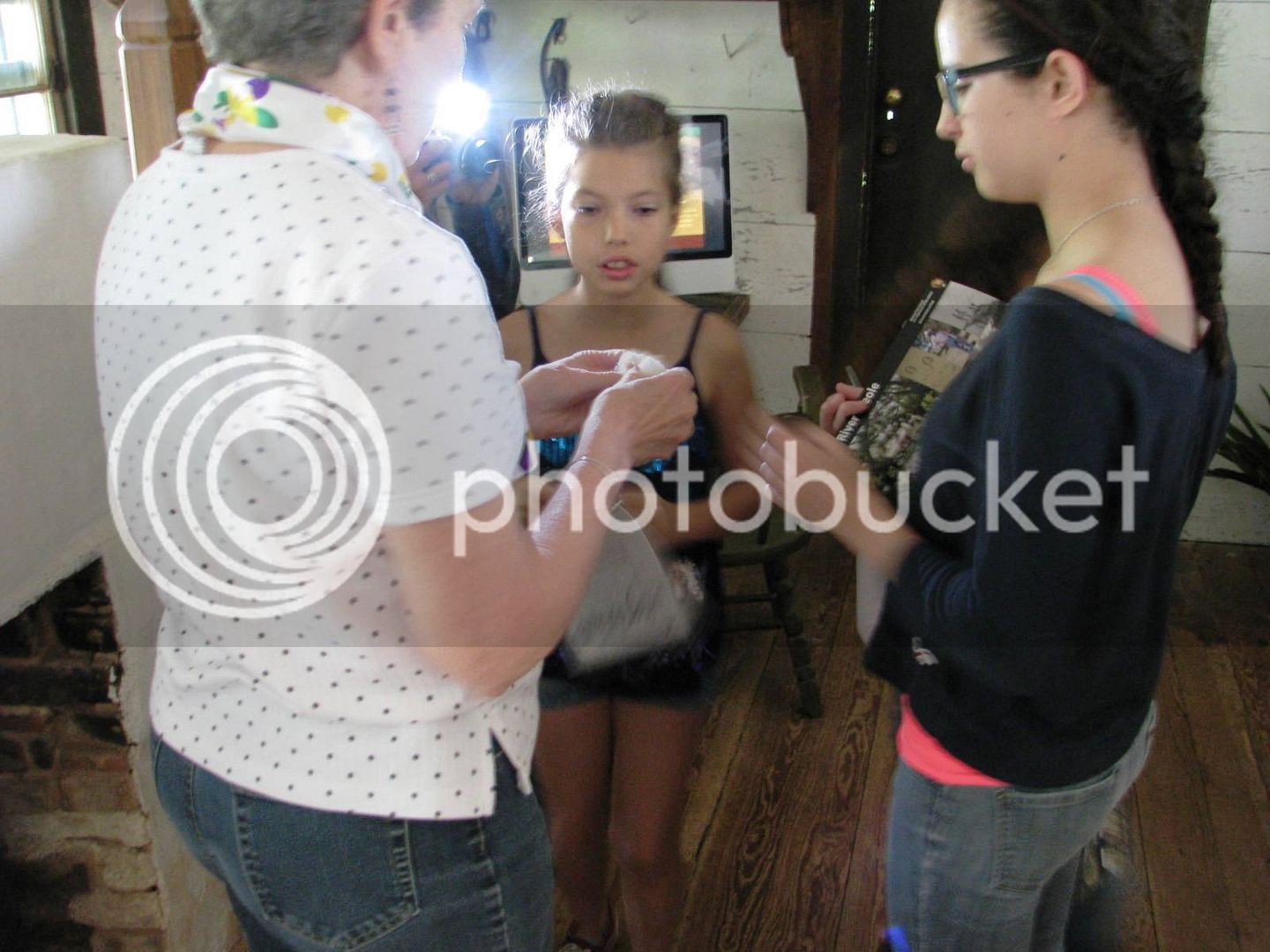
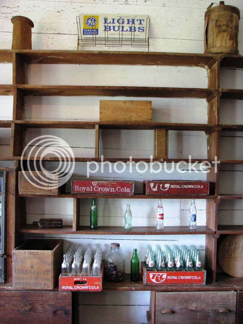
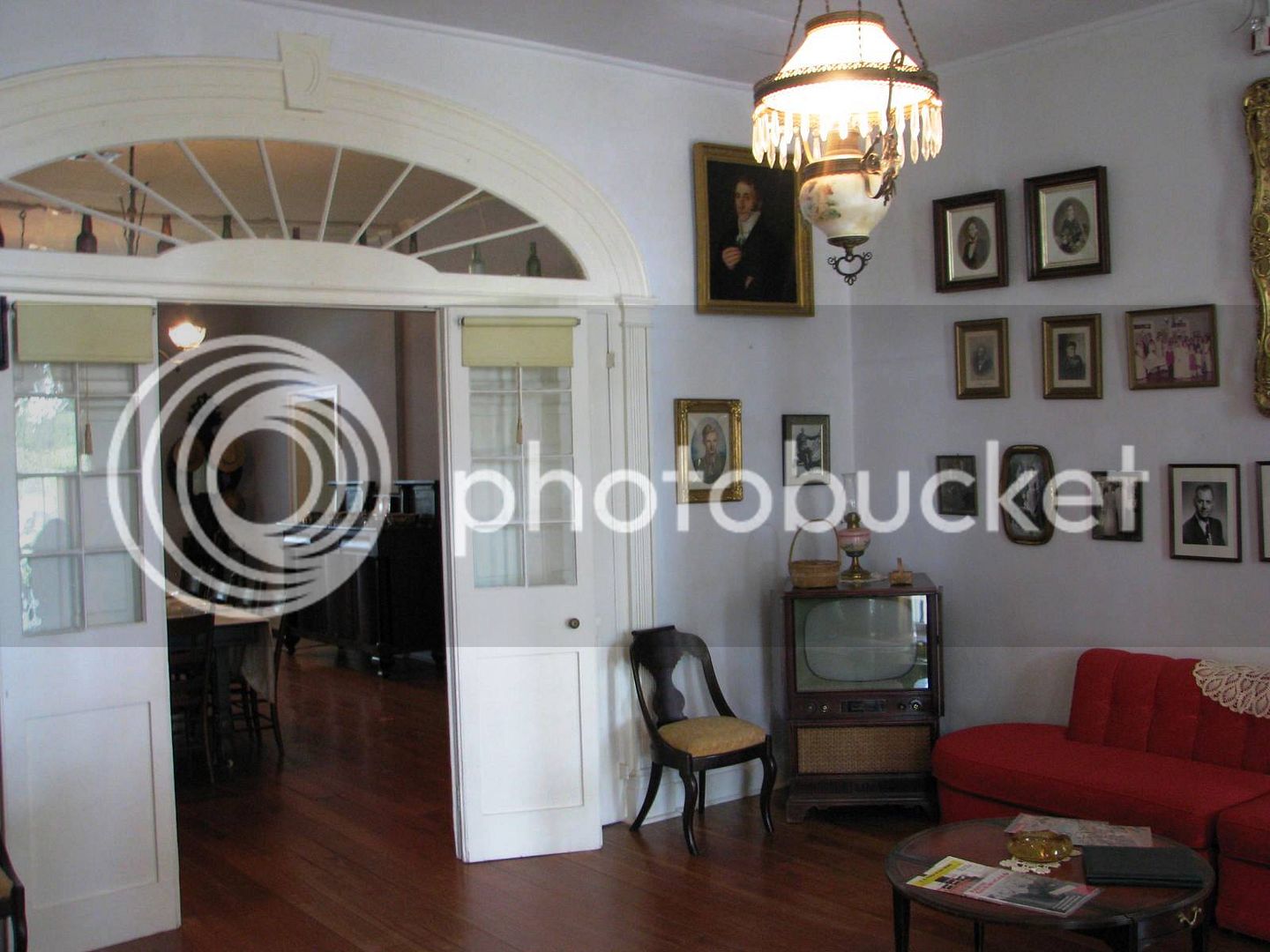
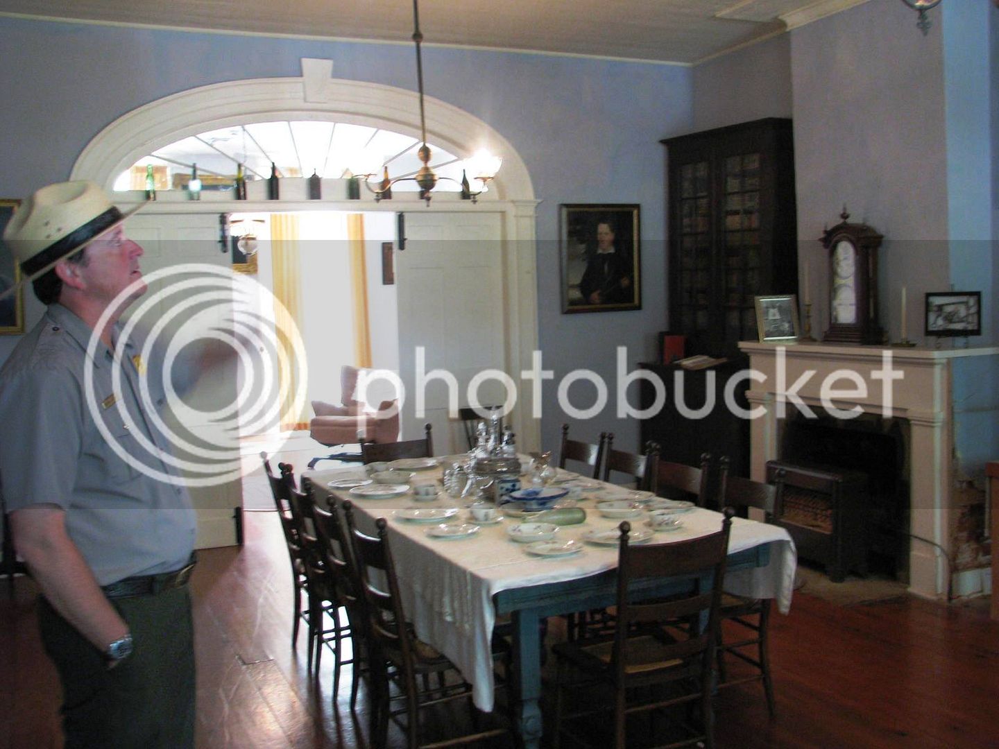
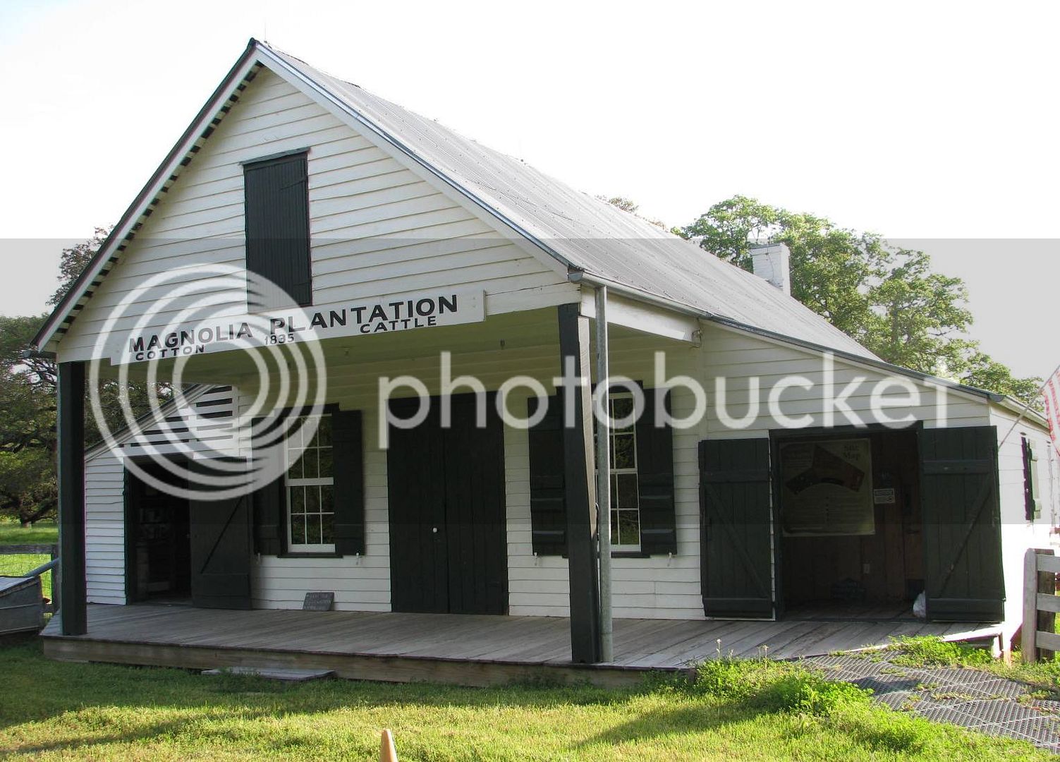
This site was a working cotton plantation run by the Prudomme family. It was common for enterprises of this size to have a general store, which serves as a welcome center for the park.
History buffs may appreciate this.
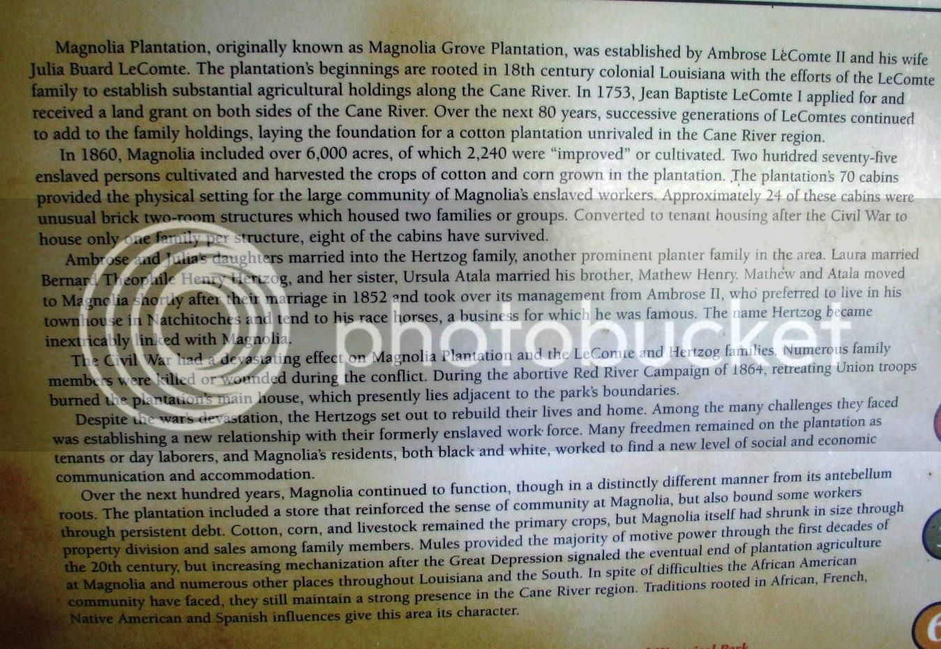
I visited #1, 4, 5, and 6.
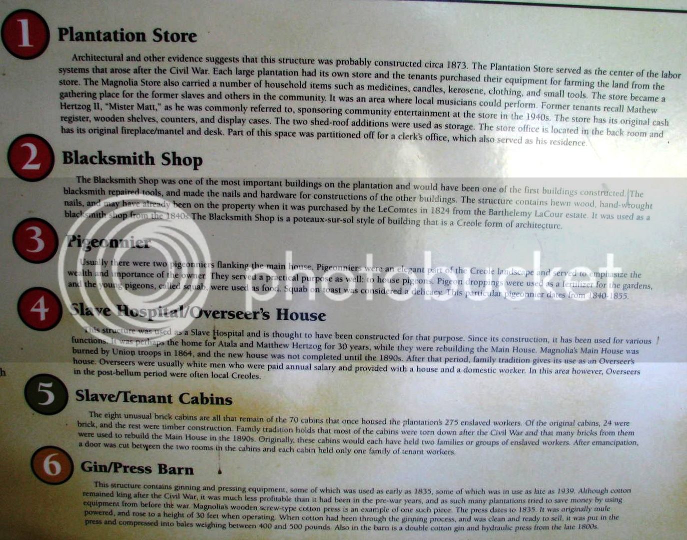
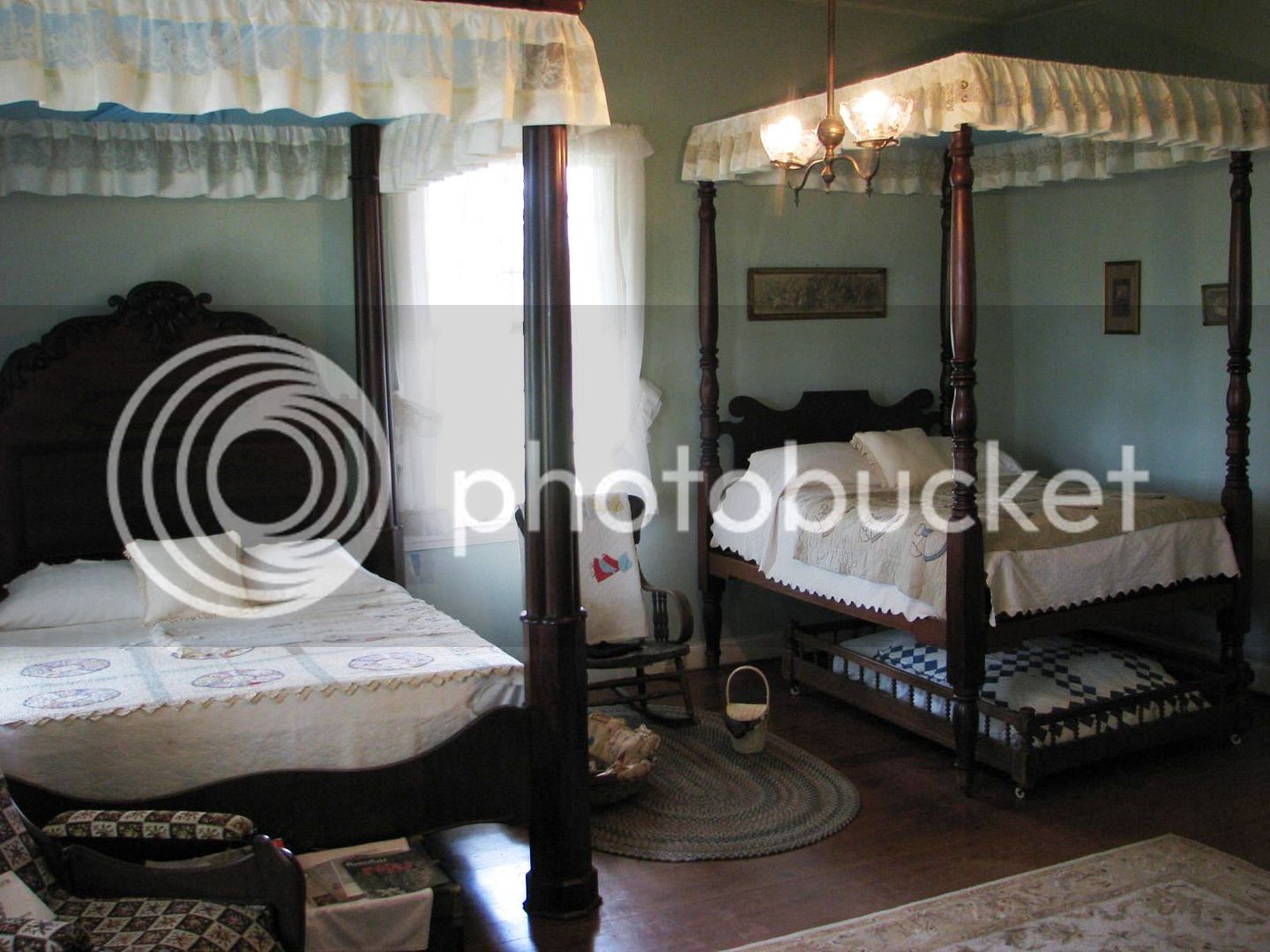
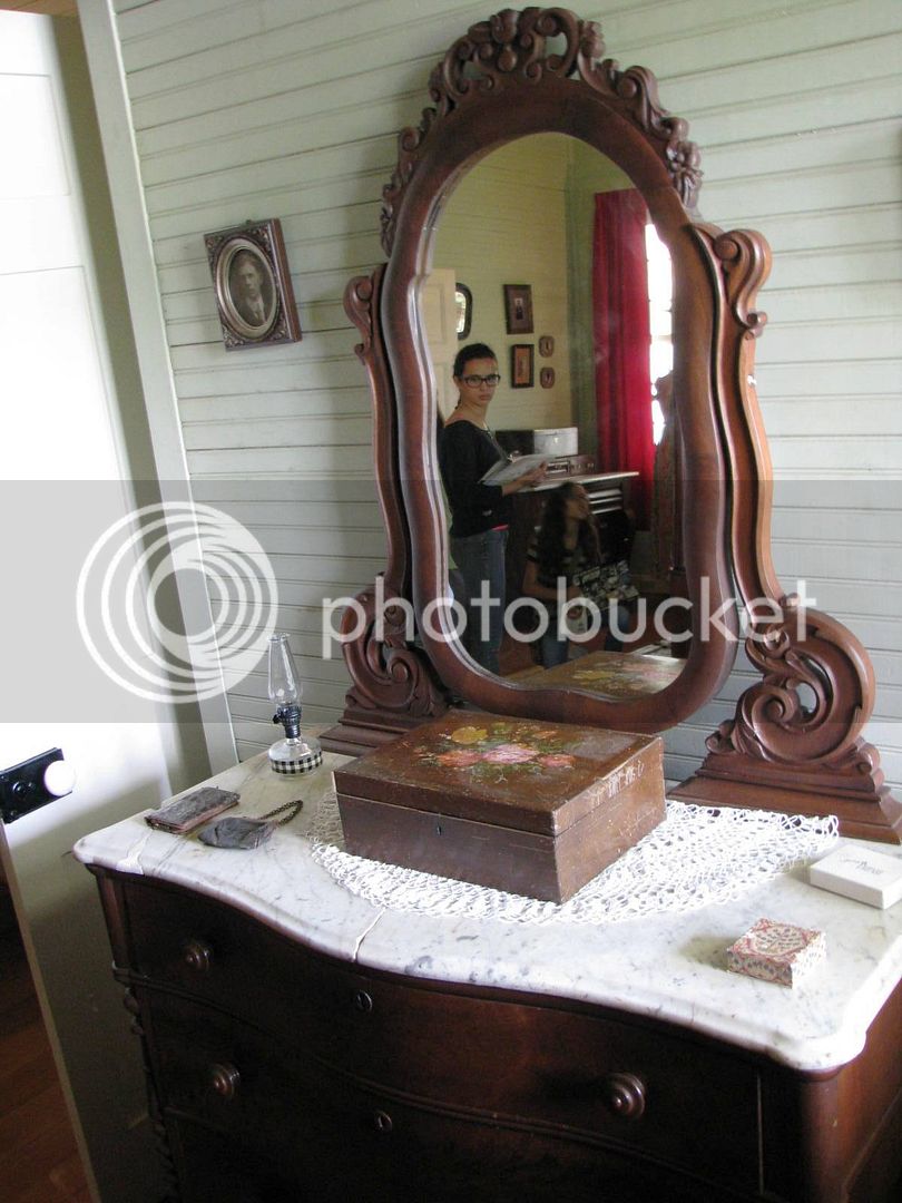
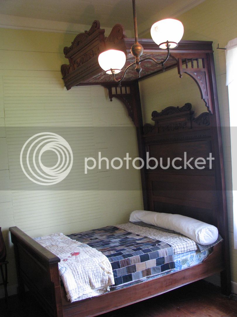
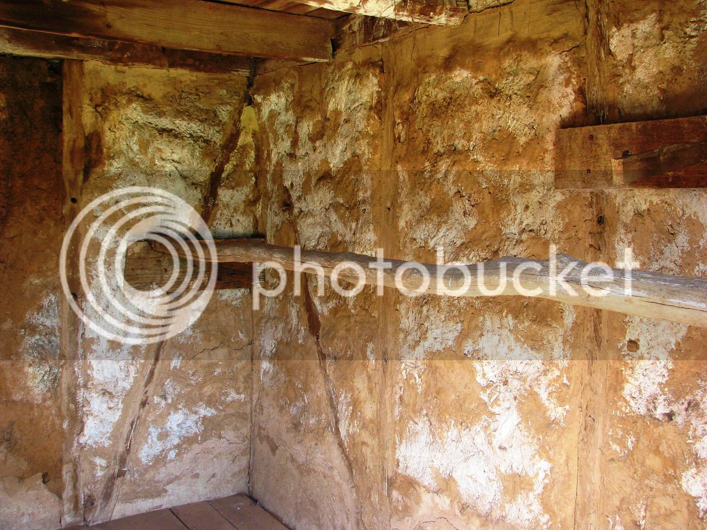
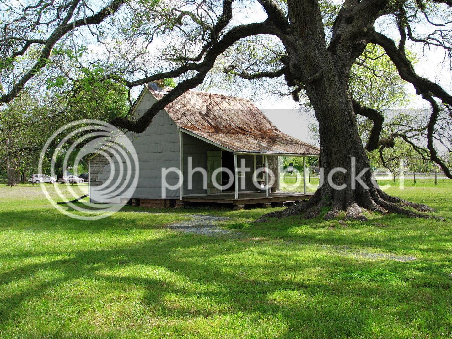
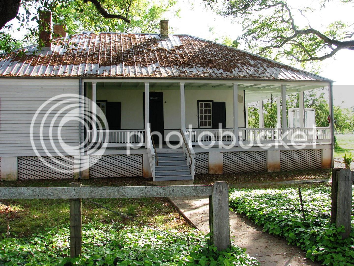
This is the Overseer’s House and also served as the doctor’s quarters for the slaves. It’s a very modest home, even by then standards, but the restoration has been exquisite.
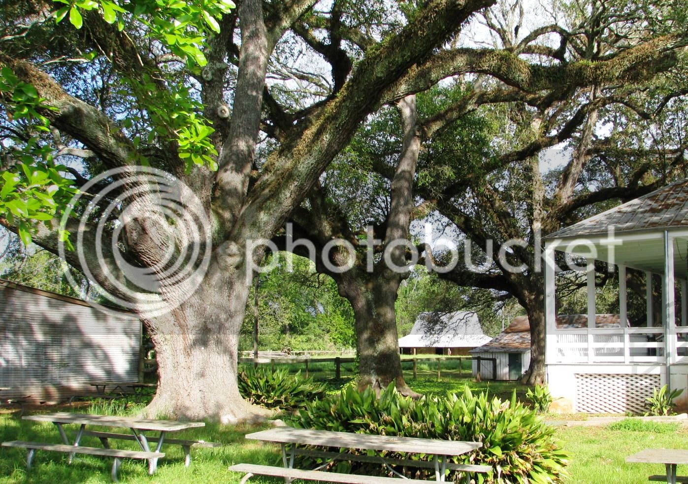
The whole property is laced with 250 year old Live Oak trees.Our State tree, (Edit, not our State tree) Anywhere I go, I love to marvel at these majestic giants – they have taught me great life lessons about the benefit of “bending to prevent from breaking”.
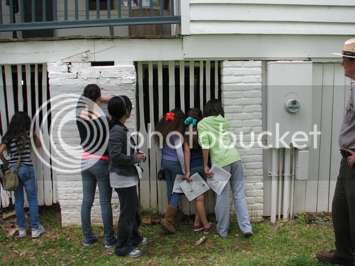
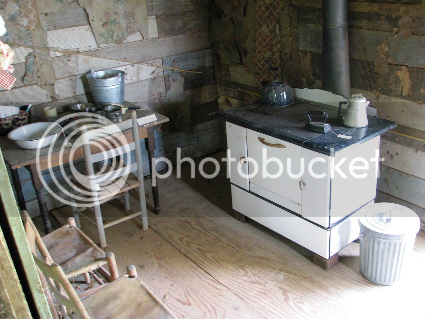
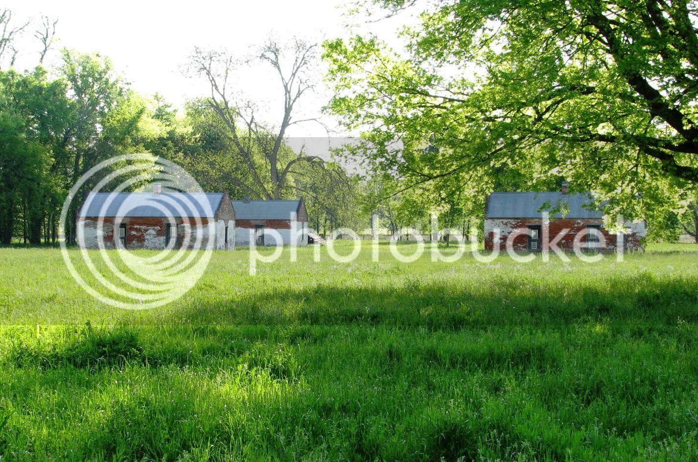
Further back into the property is the slave quarters. These are going through restoration at this time, but a general overview gives one a good idea of it. I’m certainly not proud of this part of my heritage, but like any educated man, I believe firmly in the power of Mr. Santayana’s words (look it up).
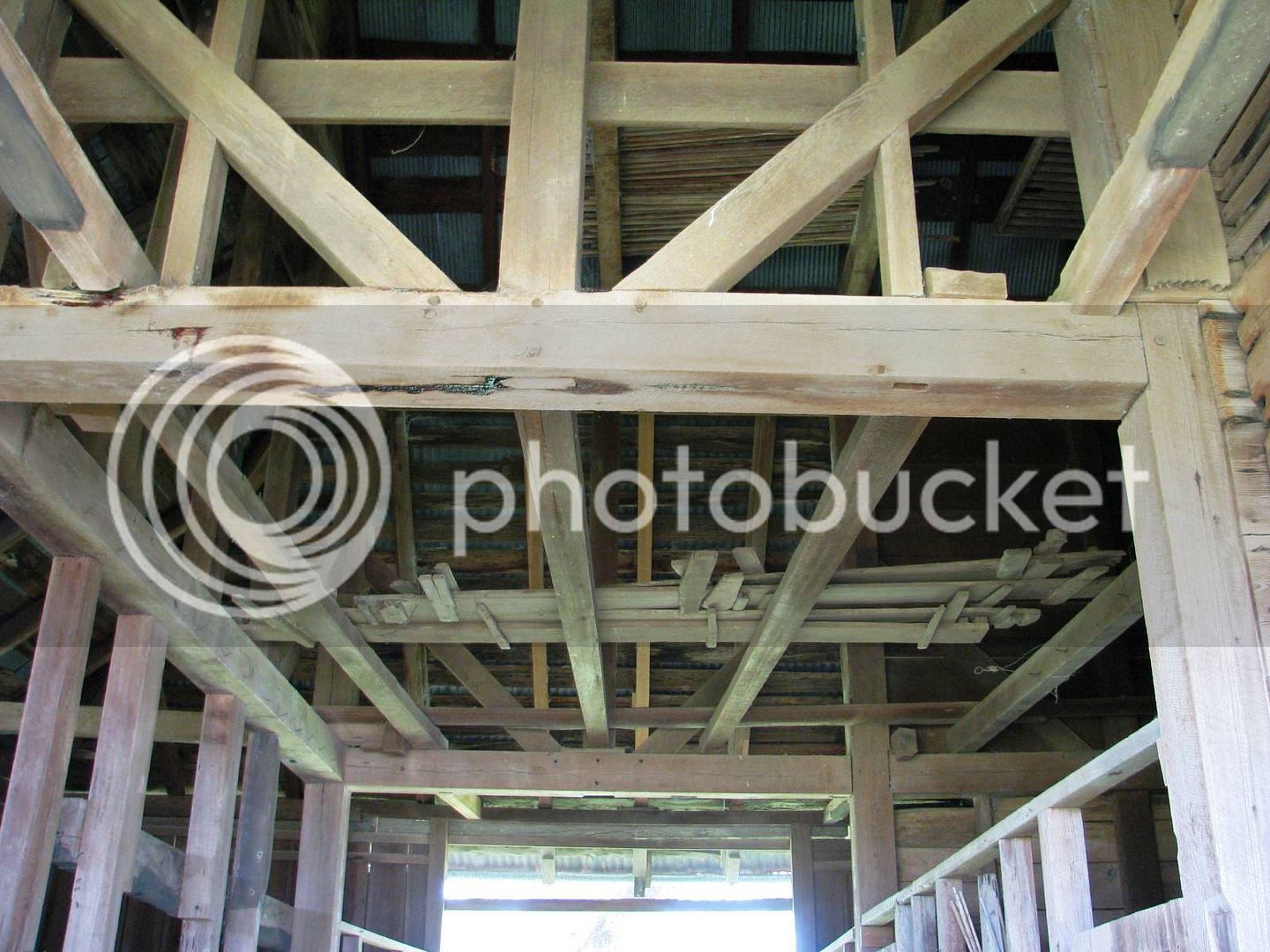
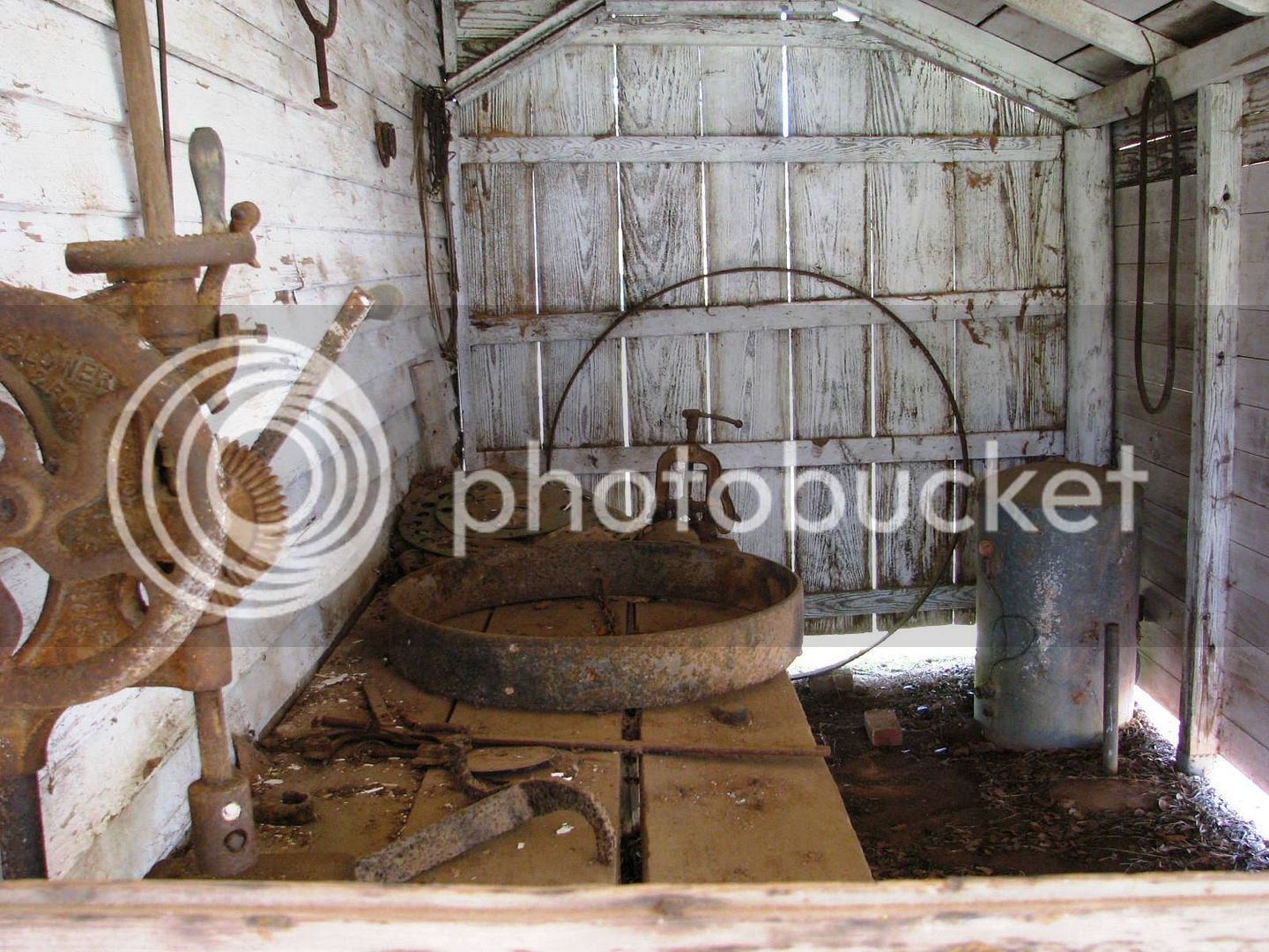
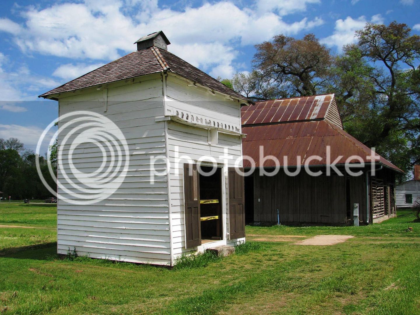
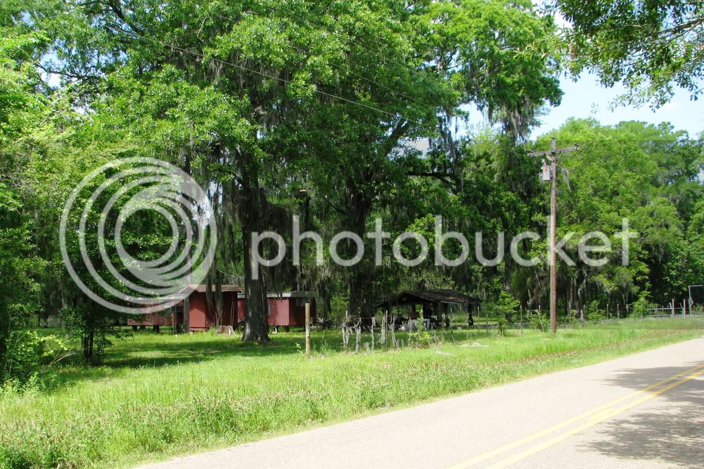
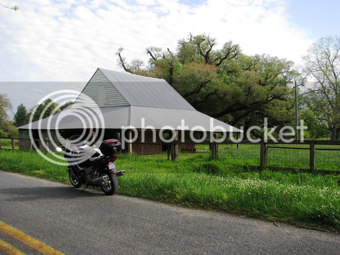
I walked by the barn on the way out. This architecture with a wide soffet is very common here, offering additional shade on the long summer days. Those posts are solid cypress, at least 8 x 8 in cross section.
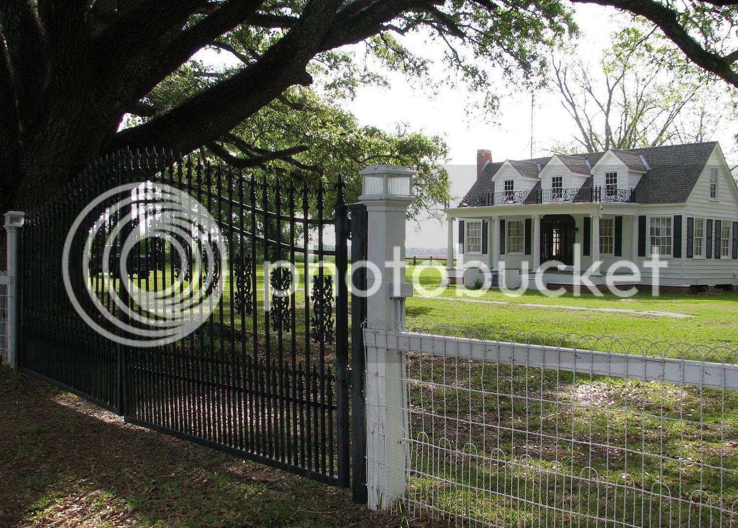
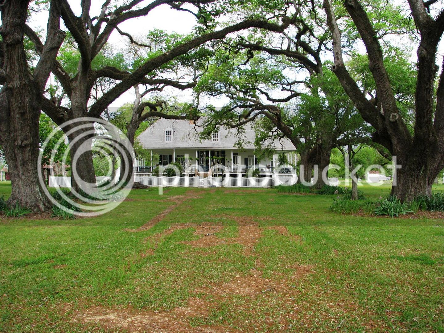
Now back on Hwy 119 heading North, I’m enjoying the cool shade provided by those oak trees. I stopped along the way to look at more plantation homes. This one is privately owned and is immaculately restored.

No way I’m paying the entry fee, but I marveled at the wrought iron work at the gate, and on the house. This architectural style was brought to New Orleans in the mid 1700s from Spain, and quickly spread in all directions.
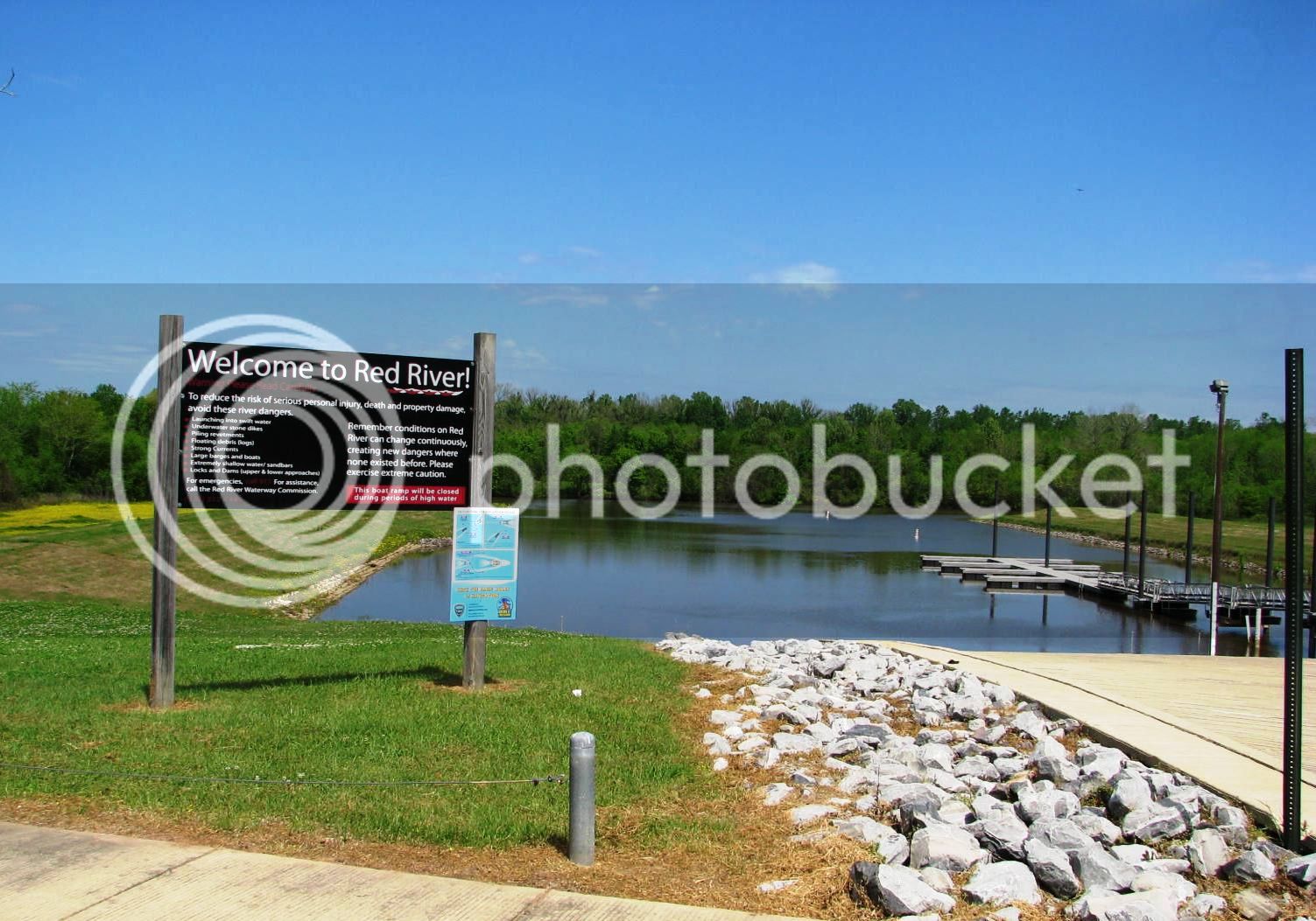
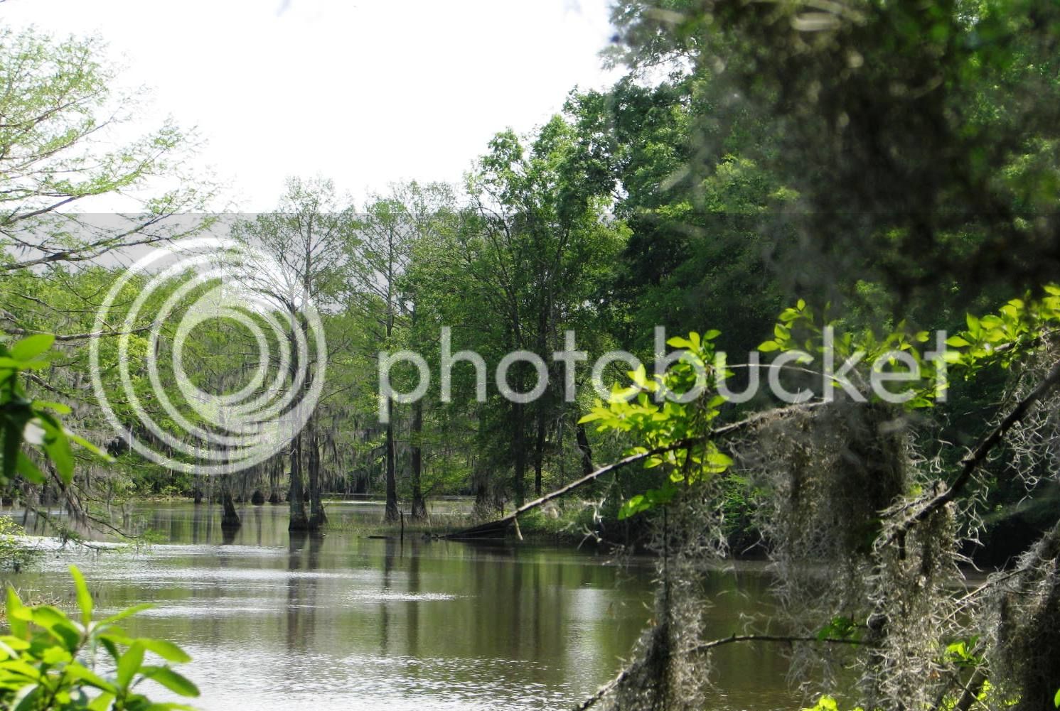
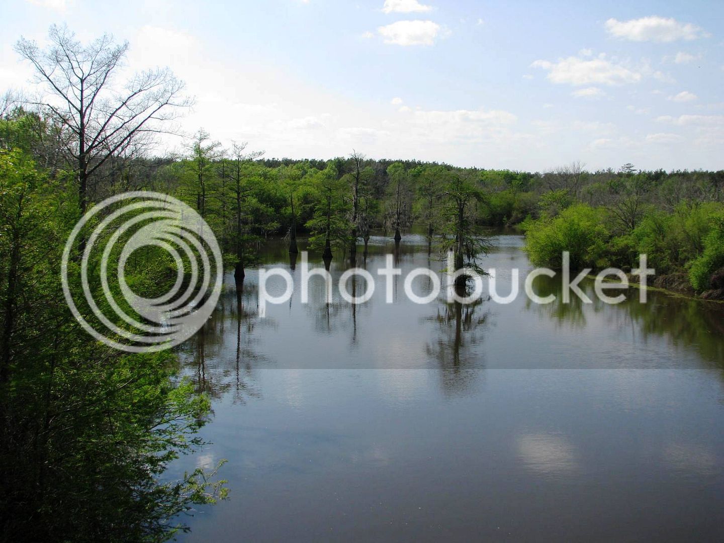
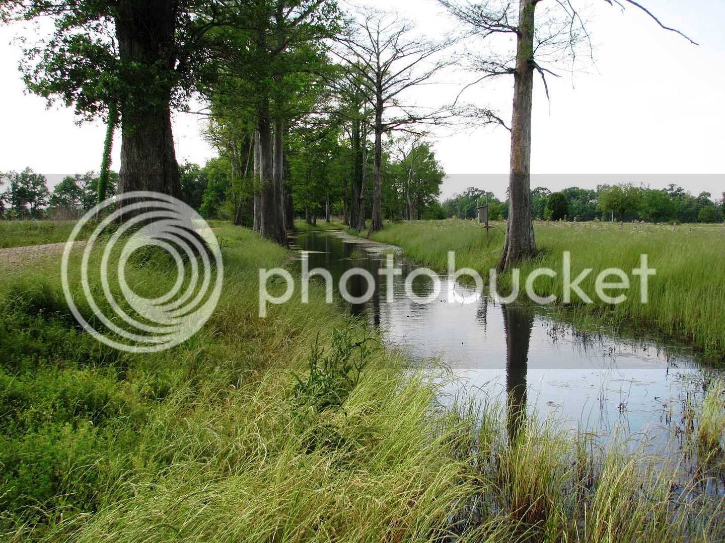
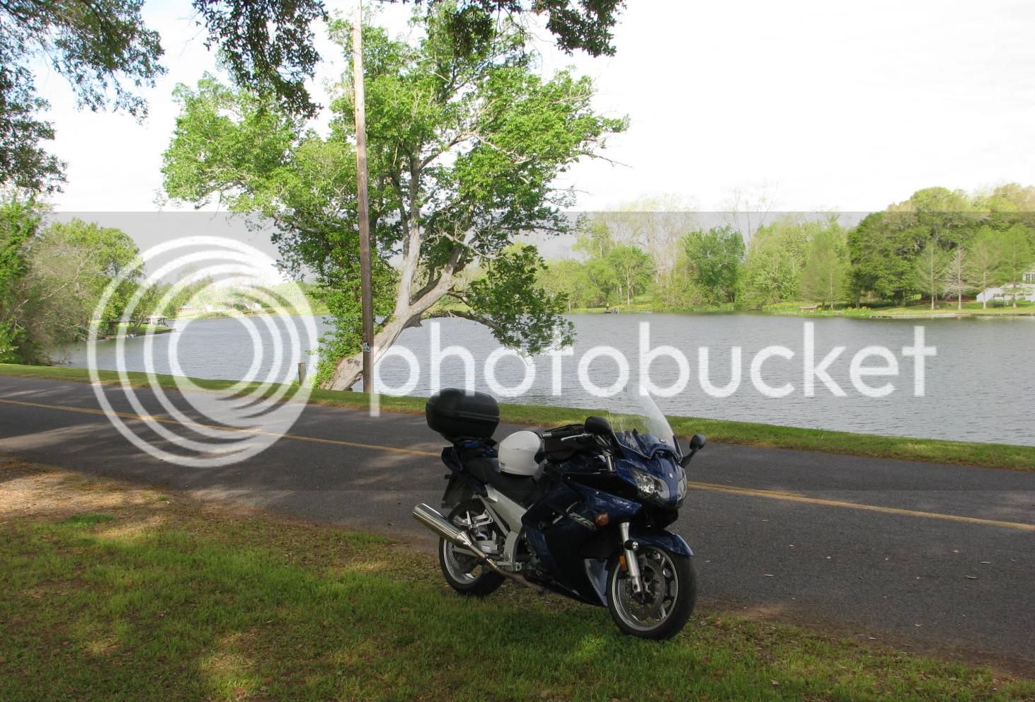
By the way – I’ve already found plenty of water front. The road I’m on parallel’s the Cane River. Plantations of all kinds were constructed along a river. The delta land adjacent to the river is really fertile, and boat navigation was the best way at the time to move product to market. This would be a wonderful place to live.
Continuing North, I am enjoying the nutty aroma in the air from thousands of mature Pecan Trees on either side of me. This is why you take the bike on adventures. In the truck, you only smell stinky feet.
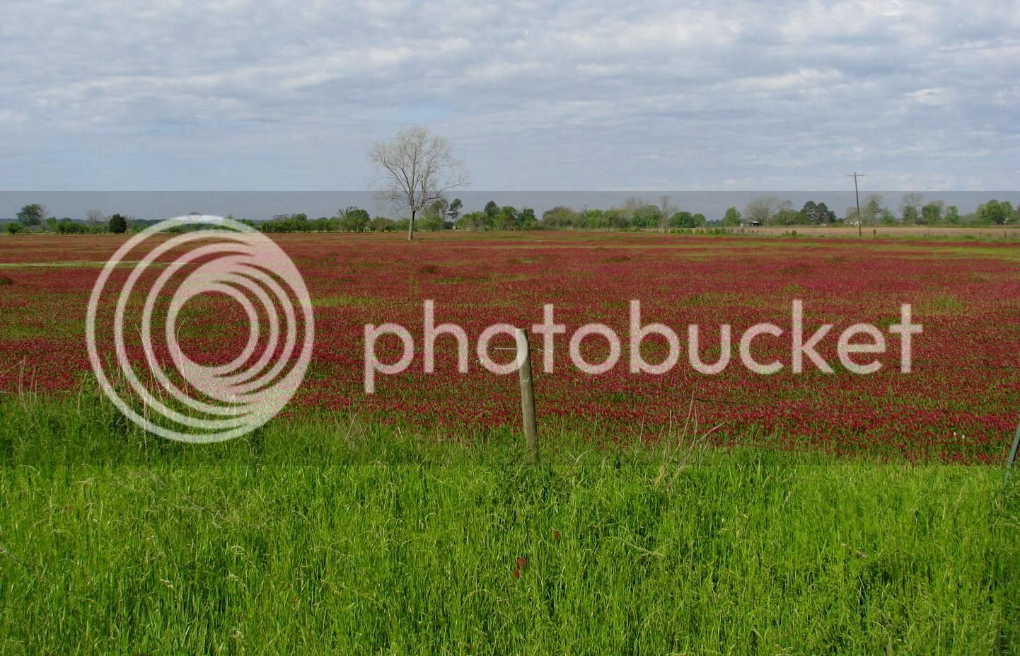
The wildflowers are incredible. This is Indian Clover.
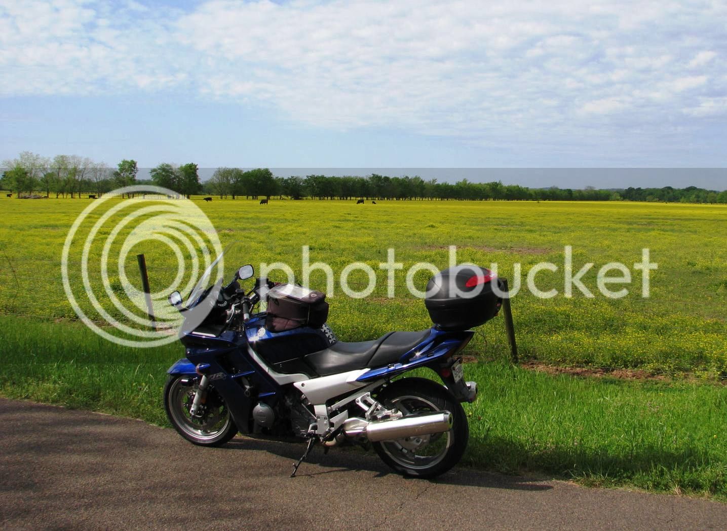
Although I don’t know the formal name for this yellow flower, my friends call this Milkweed. They say cows love to eat it, but it makes their milk sour. I believe these are beef cattle, though.
The road is incredible. I’ve got it all to myself today. Hope ya’ll are having fun at work, suckers!
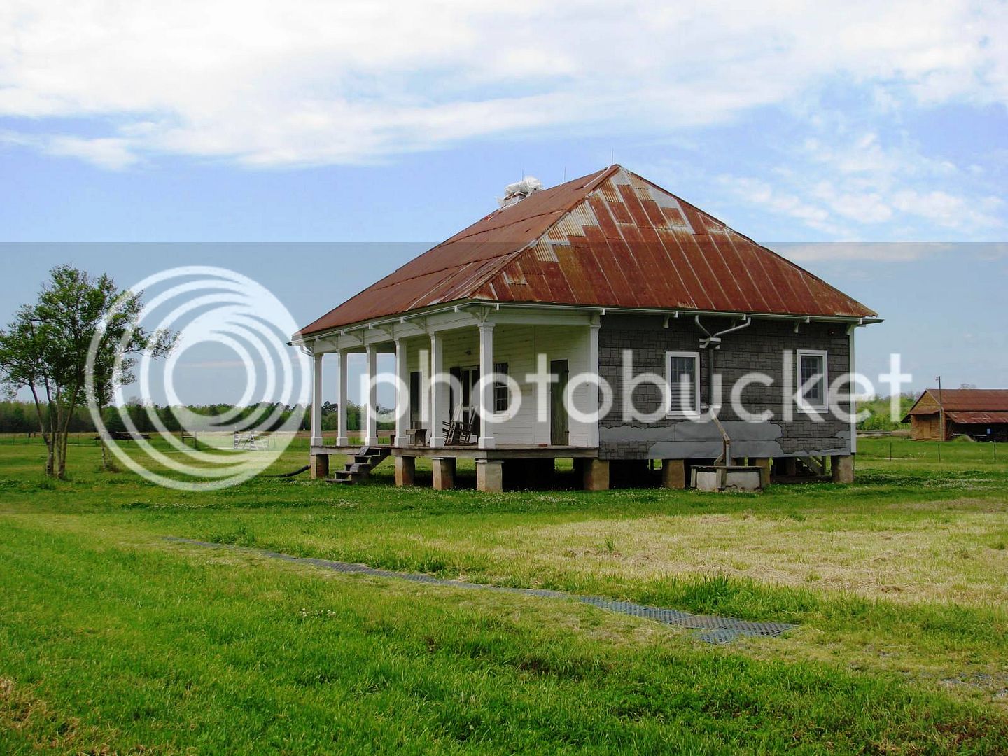
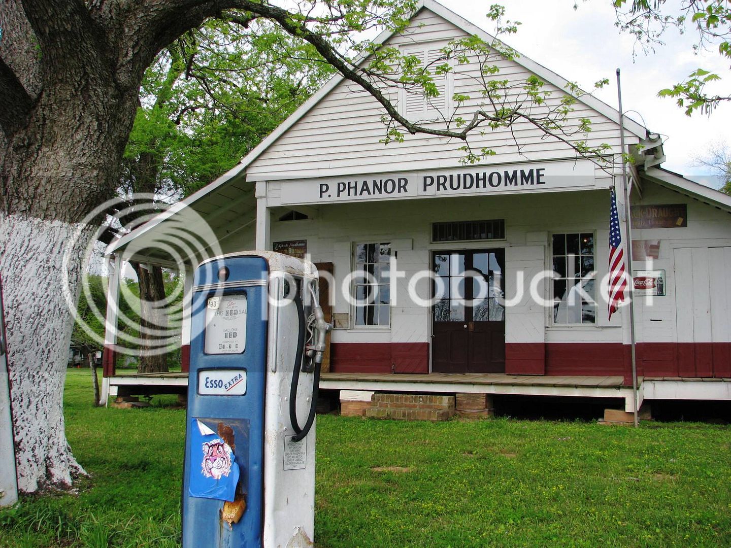
Further up the road, I stop at the next plantation for the park – Oakland Plantation. I gather it had nothing to do with the California city, as the plantation was established 75 years before. Rather, it was probably named as a “Land of Oaks”. Another common trait for plantations here is to plant an “alley” of oak trees leading up to the front door.
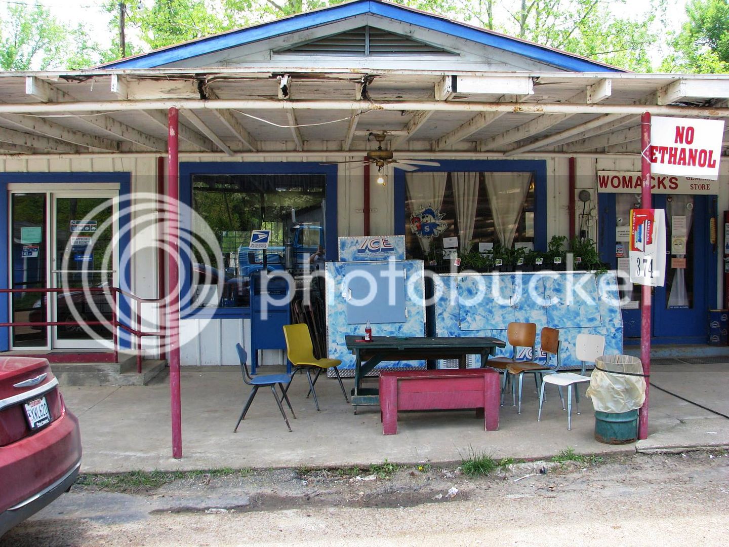
This place also has a General Store. The price of gas on the pump says $1.02. I tried to fill up, but no dice.
Bay·ou - noun \ˈbī-(ˌ)ü, -(ˌ)ō\ : an area of water in the southern U.S. in which the water moves very slowly and is filled with many plants.
Here’s a famous Cajun riddle:
What’s the loneliest Bayou in Louisiana?
Bayou Self
The Monday after Easter is a State holiday and normally as a State employee, I’m given the day off. Quite often I go camping over the 4-day weekend, but my boss scheduled an exercise for us on Monday, so I dutifully stayed close to home. Over the weekend, that exercise was cancelled, so I found myself with a free day and no prior commitments.
Now then, what pray tell will I do with myself?
The decision took all of about 30 seconds. At the end of the day, it was about 450 miles of wonderful adventure. I packed a sandwich and some water and left the house about 6:00 am under some dense fog and an unseasonably cool 60 degrees. By mid-morning, I’m stripped down to just the mesh jacket and was fairly comfortable as it warmed up into the lower 80’s. I pulled back into the driveway about 6:30 pm, my arse quite sore but otherwise no worse for the wear. I guess it goes without saying, but my FJR ran flawlessly – I’ve got a good one here, man.
The only plan I made was to find some waterfront. It was way too late to include anyone else in the ride, so I eagerly made the decision to go…
Bayou Self.
Hope you enjoy the pics.
Stage 1 – Lafayette to Natchitoches, approximately 150 miles.
The dense fog in Lafayette early in the morning was horrible. I decided to head north quick and get away from the coast, hoping for some more visibility. That took a while - I rode north on I-49 about 120 miles, finally exiting at Derry, Louisiana, in the midst of the Kistachie National Forest. Off the slab, I pulled over to drink some water and this sign caught my eye.
I read this paragraph and it really seemed interesting. So, off I went in that direction.
My bike is looking pretty sharp in the Spring time sun! This is how I usually day trip – leave the saddlebags home, and take the top box for essentials.
An old wives tale here assures that if the Pecan Trees have budded, there’s no chance for any more cold weather. I’d say we are in good shape, mid morning and we are already well into the 70s.
A short ride takes me to the Historical Park.
Hwy 119 there is a wonderfully curvy, yet desolate stretch of pavement on this day.
This site was a working cotton plantation run by the Prudomme family. It was common for enterprises of this size to have a general store, which serves as a welcome center for the park.
History buffs may appreciate this.
I visited #1, 4, 5, and 6.
This is the Overseer’s House and also served as the doctor’s quarters for the slaves. It’s a very modest home, even by then standards, but the restoration has been exquisite.
The whole property is laced with 250 year old Live Oak trees.
Further back into the property is the slave quarters. These are going through restoration at this time, but a general overview gives one a good idea of it. I’m certainly not proud of this part of my heritage, but like any educated man, I believe firmly in the power of Mr. Santayana’s words (look it up).
I walked by the barn on the way out. This architecture with a wide soffet is very common here, offering additional shade on the long summer days. Those posts are solid cypress, at least 8 x 8 in cross section.
Now back on Hwy 119 heading North, I’m enjoying the cool shade provided by those oak trees. I stopped along the way to look at more plantation homes. This one is privately owned and is immaculately restored.
No way I’m paying the entry fee, but I marveled at the wrought iron work at the gate, and on the house. This architectural style was brought to New Orleans in the mid 1700s from Spain, and quickly spread in all directions.
By the way – I’ve already found plenty of water front. The road I’m on parallel’s the Cane River. Plantations of all kinds were constructed along a river. The delta land adjacent to the river is really fertile, and boat navigation was the best way at the time to move product to market. This would be a wonderful place to live.
Continuing North, I am enjoying the nutty aroma in the air from thousands of mature Pecan Trees on either side of me. This is why you take the bike on adventures. In the truck, you only smell stinky feet.
The wildflowers are incredible. This is Indian Clover.
Although I don’t know the formal name for this yellow flower, my friends call this Milkweed. They say cows love to eat it, but it makes their milk sour. I believe these are beef cattle, though.
The road is incredible. I’ve got it all to myself today. Hope ya’ll are having fun at work, suckers!
Further up the road, I stop at the next plantation for the park – Oakland Plantation. I gather it had nothing to do with the California city, as the plantation was established 75 years before. Rather, it was probably named as a “Land of Oaks”. Another common trait for plantations here is to plant an “alley” of oak trees leading up to the front door.
This place also has a General Store. The price of gas on the pump says $1.02. I tried to fill up, but no dice.
Last edited by a moderator: