


Goodman4
Pressing on
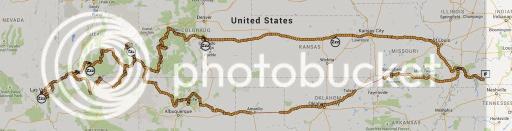
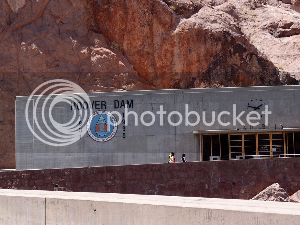
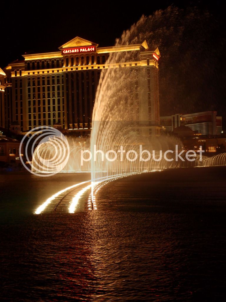
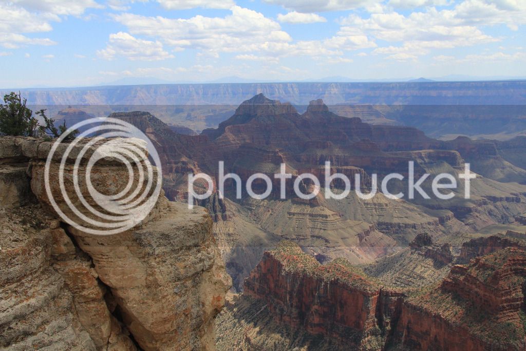
Here's lots of pics and my trip report of our 5400 mile trip out west from May 28 to Jun 13, 2015. We focused heavily on the Utah parks for the first half, took a day to see Hoover Dam and Las Vegas, saw the Grand Canyon at the north rim, spent a couple days in Page, AZ, then saw some highlights in CO before heading home.
Here's the Spotwalla track:
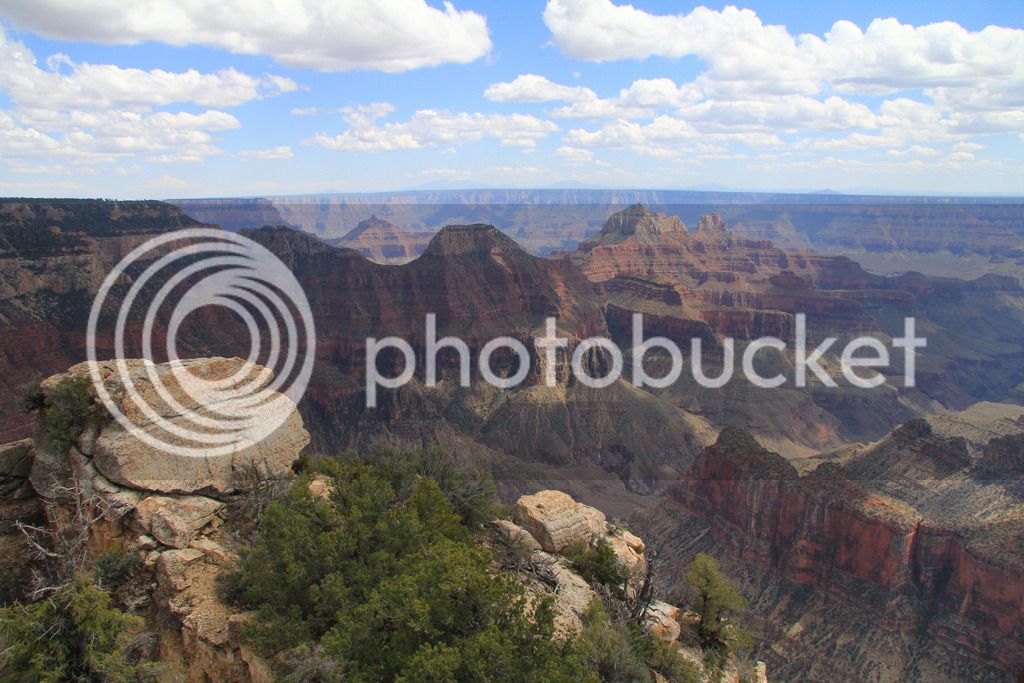
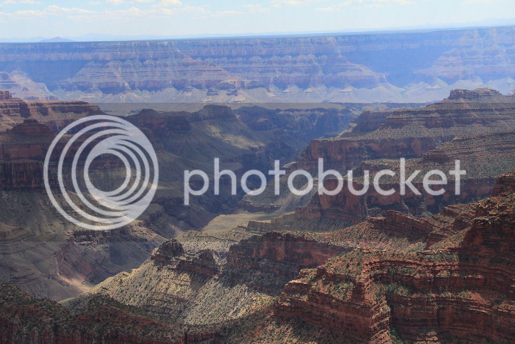
This trip has Grand Canyon in the title mainly because that is what it originally started out as. But after the plans came together the Grand Canyon was only a small part of our trip and while it made our top 10 sights, it probably didn't make our top 5. That's not because the north rim isn't spectacular, but because so many things were even more amazing to see.
I'd like to start by thanking the FJR Forum for the great advice on choosing the highlights. Several people helped in various ways. I think it was BeemerDon who pointed me first to the general area and timing we focused on instead of heading straight to the south rim in Spring as we originally planned. That would have been a huge mistake. We copied most of our Utah route directly from WheatonFJR's trip report. Special thanks to Redfish Hunter who directed me to WheatonFJR's report in the first place, and offered key advice to some significant sights and roads. HotRodZilla even talked to me on the phone to clear up some New Mexico road advice.
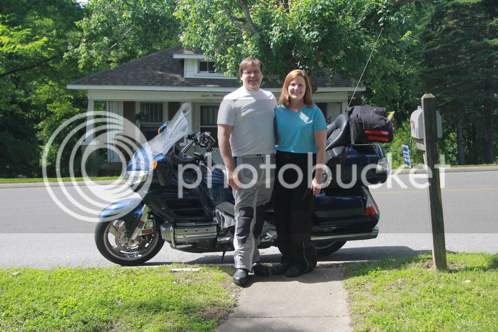
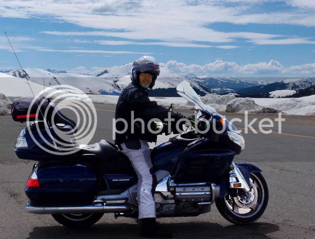
This was our second 5,000 mile trip on the Goldwing and I don't think Tammy is going to let us take the FJR on any trips over 100 miles anymore due to her leg pain and how much difference it makes for her on the Wing. I still get to ride the FJR all the time, so it still gets more miles than the Wing and isn't too jealous when I take the Wing out of the stable.
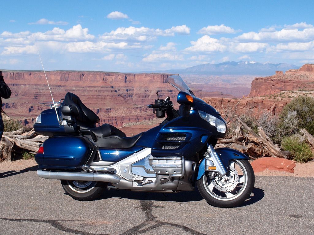
I use a Canon 60D and love to take pics, but a lot of these in the report are Tam's as she snaps pics from the back of the bike with our Olympus XZ-1 and likes to capture the feel of the road.
The trip started on Thursday when I took off early from work and drove to my sister's in Southern IL where Tam had dropped off our daughter. I picked her up to start the real journey.
Since I got off early, we altered our plans to go farther than Poplar Bluff as planned. There's not many places to stay on 68 unless you liked Deliverance themed motels. I try hard to get us decent hotels since Tammy is willing to go on these trips with me. We are not fancy people in any form of the word, but she can't stand a dirty motel room, so it's a small sacrifice I make to find decent rooms. TripAdvisor is my friend. Anyway, we made really good time and were ahead of the rain coming in, so I called my nephew in Springfield, MO and he said he'd cook us late hamburgers if we made it that far. Free food and room - can't beat that. 439 miles that afternoon / evening

I found out last week he upgraded his dirt bike to a Super Tenere! Looks like some Arkansas riding in our future.
Unfortunately as we were coming in, we hit a heavy downpour the last 40 minutes. We had time to put our rain jackets on but not pants and we got pretty soaked.
We checked the weather in the morning and there was a huge line of storms moving straight north near from the Oklahoma line to almost OK City and no way to avoid it. So we left early in full rain gear and just plowed right through. Didn't like the Tulsa traffic in the downpour but we made it.
I wish we had prepared for the toll roads. They were a real pain, but once we got to Oklahoma City, it got worse. There were no longer people at the booths and they only took change. At least the rain stopped but we ran out of change. You can call and pay by credit card we finally found out after a lot of frustration.
This is about the time when I had a gear defect. I had bought a new pair of Rev-IT Horizon pants just before the trip. I looked down and noticed the stitching in my crotch was pulled out and I had some extra ventilation.
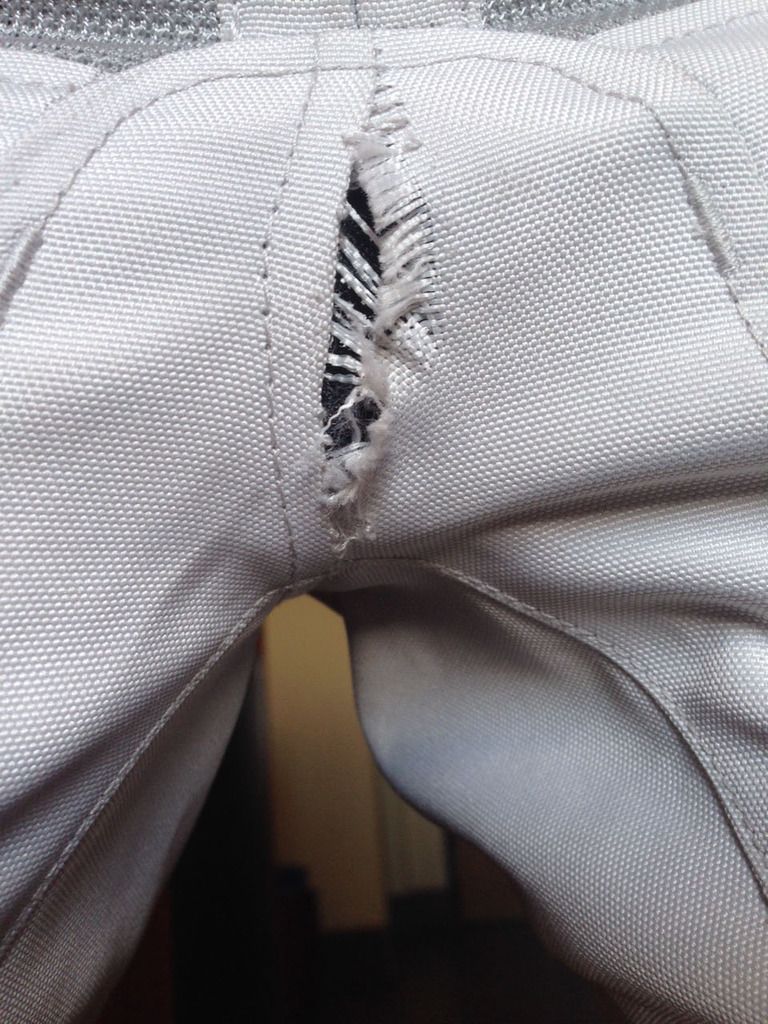
I called Revzilla and sent them the pic above. They said the warranty would cover it and they felt the gap would not go past the other seams so they didn't want me to have to try to find another pair of pants. They were right, but it was interesting.
That afternoon on I 40 a deer tried to run out in front of us but I sped up since he wasn't going to make my trajectory. He tripped in the ditch and fell down trying to get to the road to meet me. He shouldn't have tried so hard but he was determined. Maybe they were having some kind of rally.
On Friday night we originally planned to make it to El Reno, OK but with the extra miles Thursday we were able to easily make Shamrock, TX with 485 miles ridden Friday.
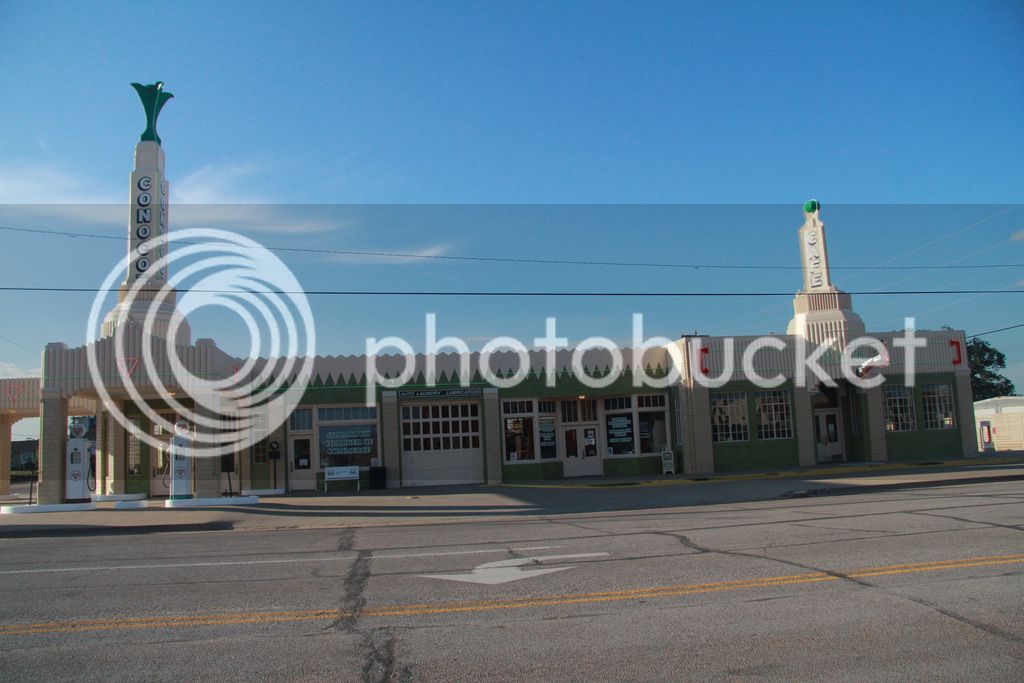
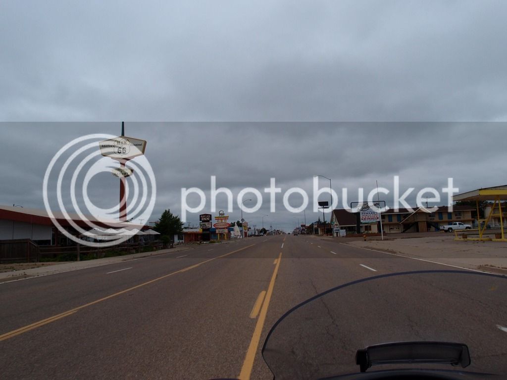
This is the U-Drop Inn which is about the only interesting thing in Shamrock. Our hotel was great but the town seemed in bad shape. The Conoco station was an original from Route 66 and Ramone's from the Cars movie was patterned after it. There is a replica at Disneyland.
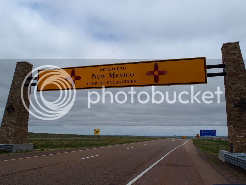
Saturday we drove across north Texas and into New Mexico. It was my first time being in New Mexico so it was interesting scenery.
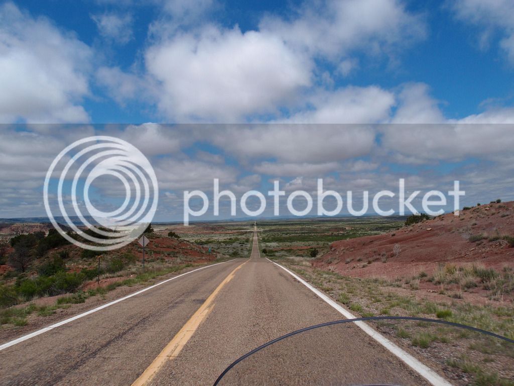
We got off the Interstate in Tucumcari to ride up 104 to Las Vegas. Although it was crazy straight roads to Conchas, the greens and reds against the blue sky made for dramatic scenery over every hill.
I wasn't sure how tight the speed limit was on that road but we met a cop when I was going 67 even though I think it was 55. He didn't flash his lights so I set the cruise there on 67. I wasn't watching the rear and in another 15 minutes a cop surprised me from behind and passed me going probably 80.
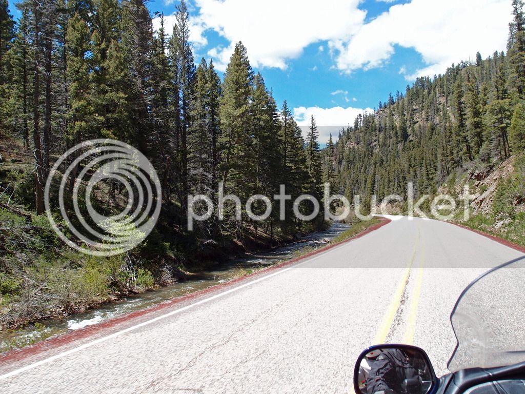
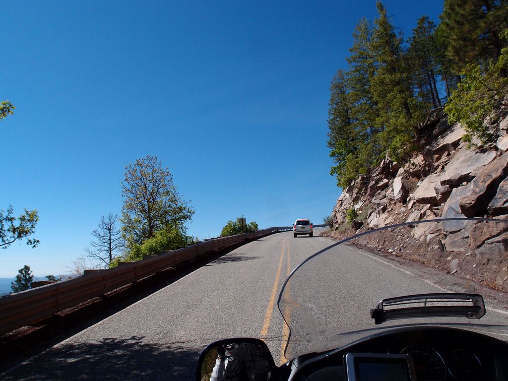
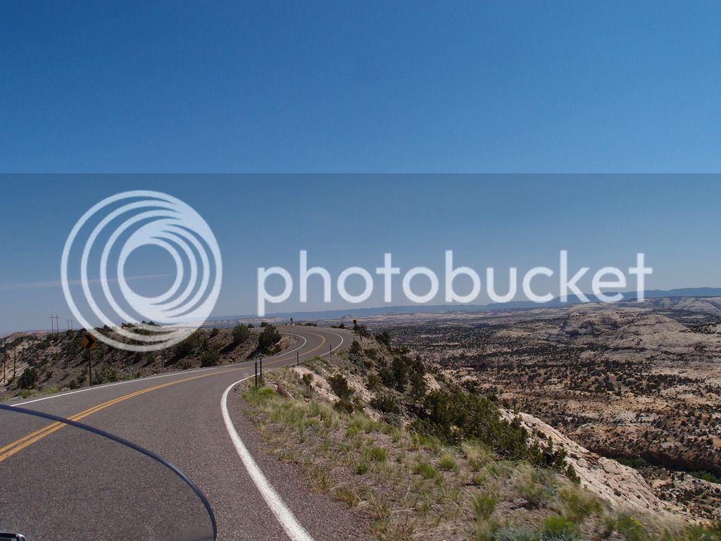
After Las Vegas we took the scenic route to Santa Fe. We went over the hills on 518 through Sipapu. The pic above is near Tres Ritos. Then we took part of the High Road to Taos Scenic Byway in reverse down to Santa Fe, shown below. These were good roads, but not our favorites.
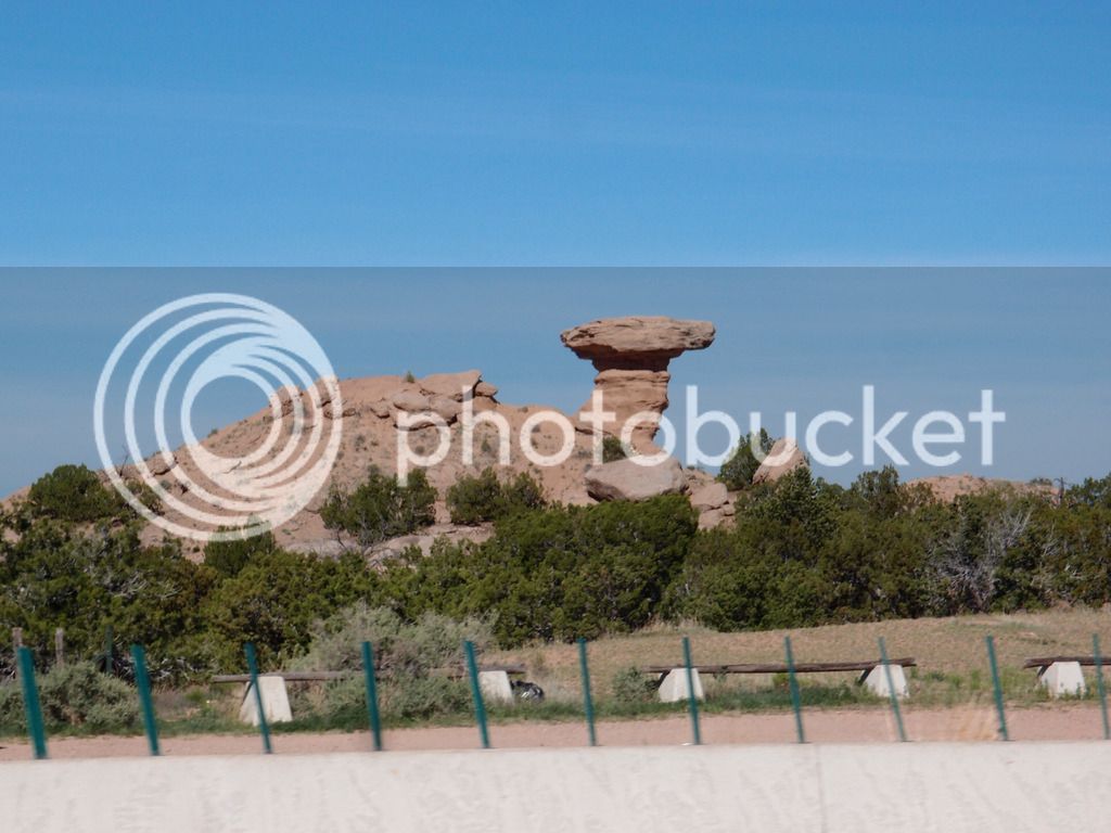
Camel Rock lets us know we are almost in Santa Fe. 449 miles.
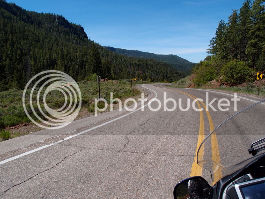
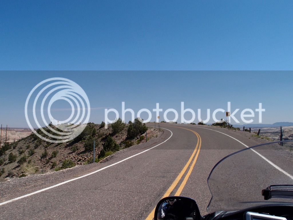
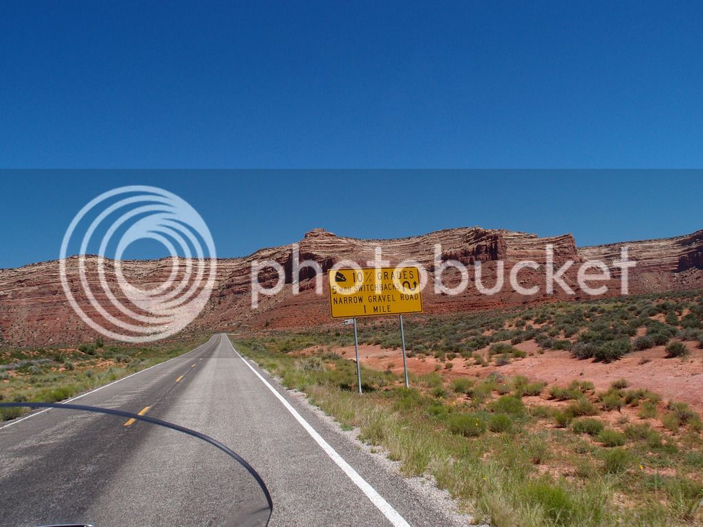
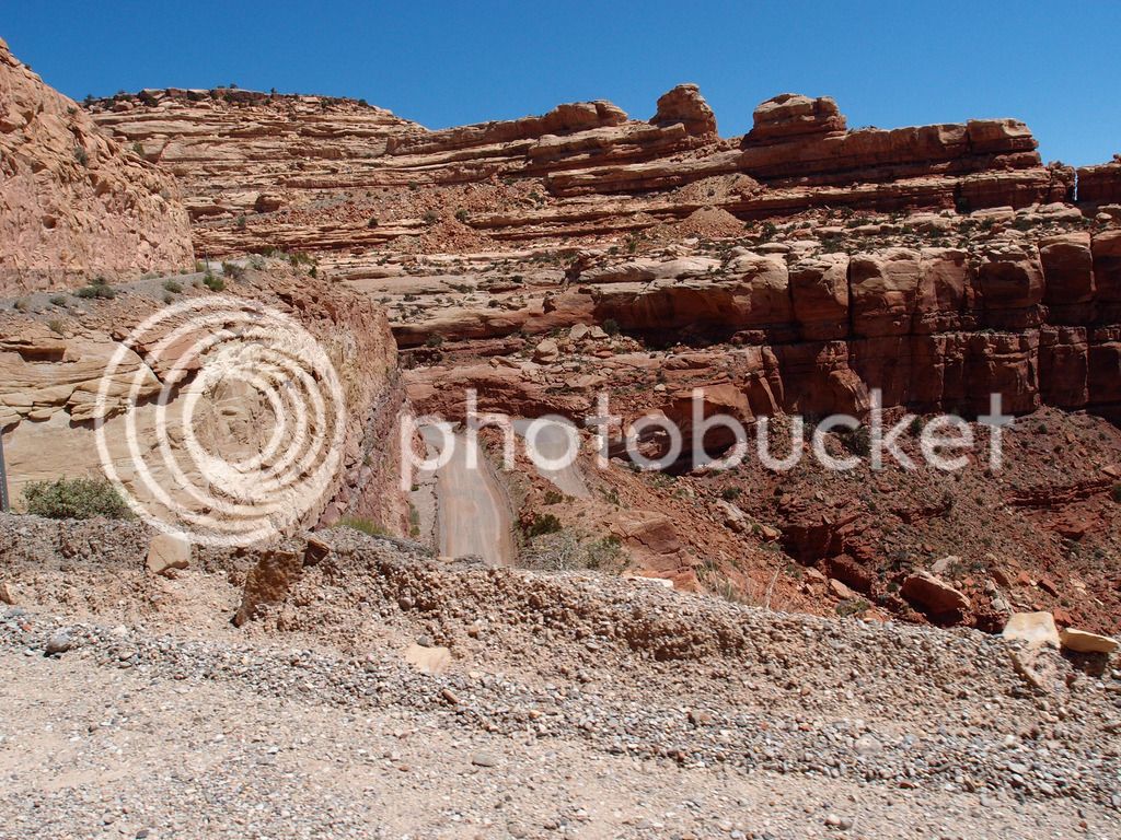
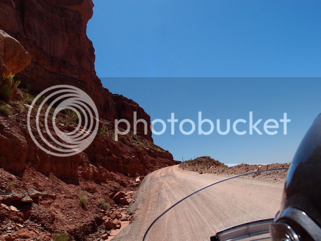
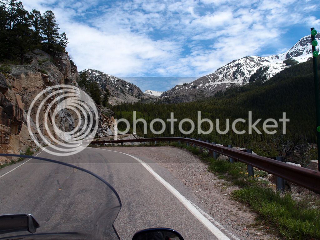
Sunday we needed to make it to Moab and since we were still ahead of schedule we decided to go through Los Alamos on Hwy 4. I didn't have that pre-routed in detail and the GPS took me around the north side of Los Alamos Labs instead of south of it on 4 through White Rock. I probably missed some good road there because when we did get on 4 it was awesome. I strongly recommend that twisty scenic road.
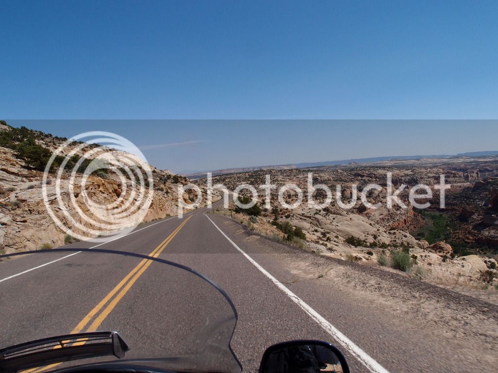
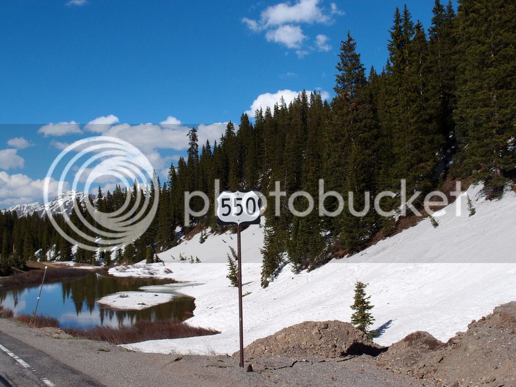
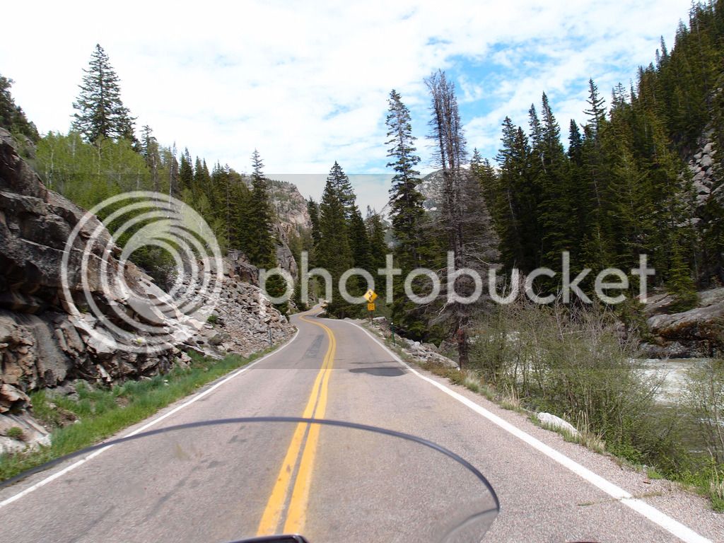
From there we looped down to hit 550 which we took up to 64 at Bloomfield. Here is the road near Nageezi:
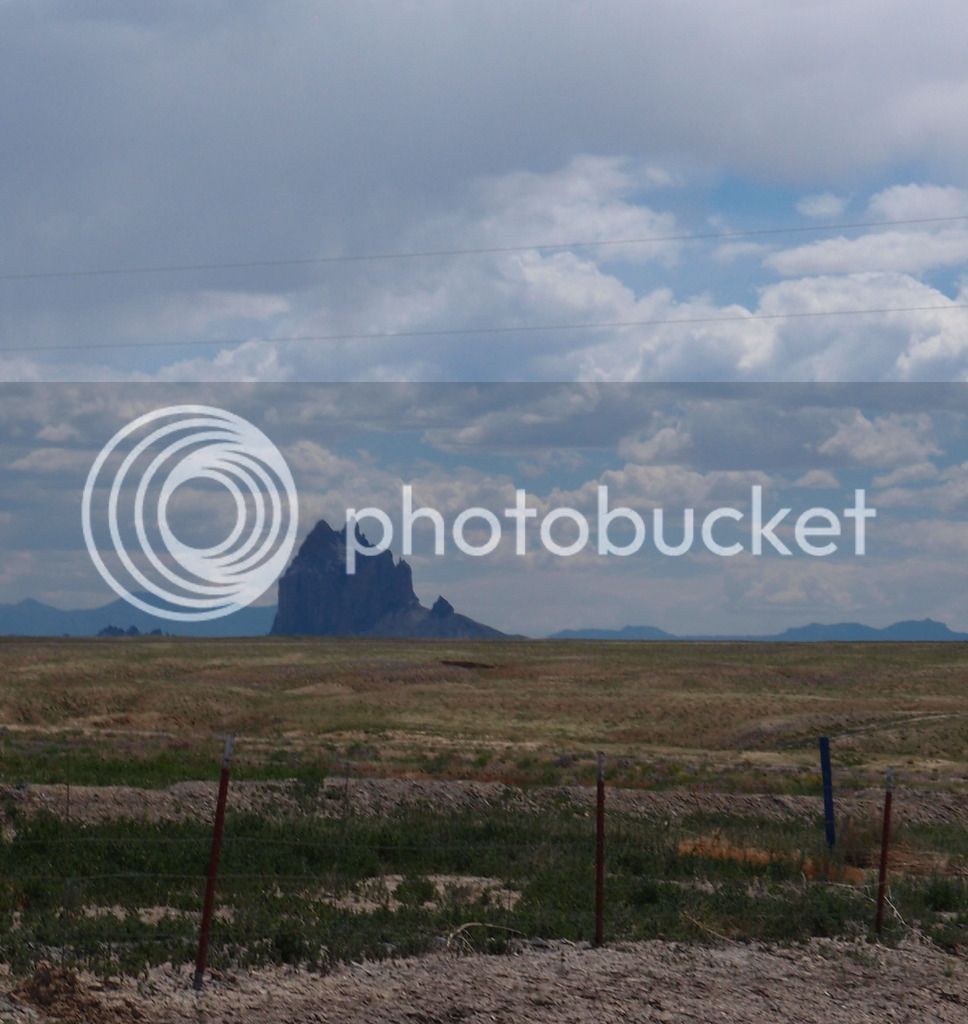
Then through Shiprock
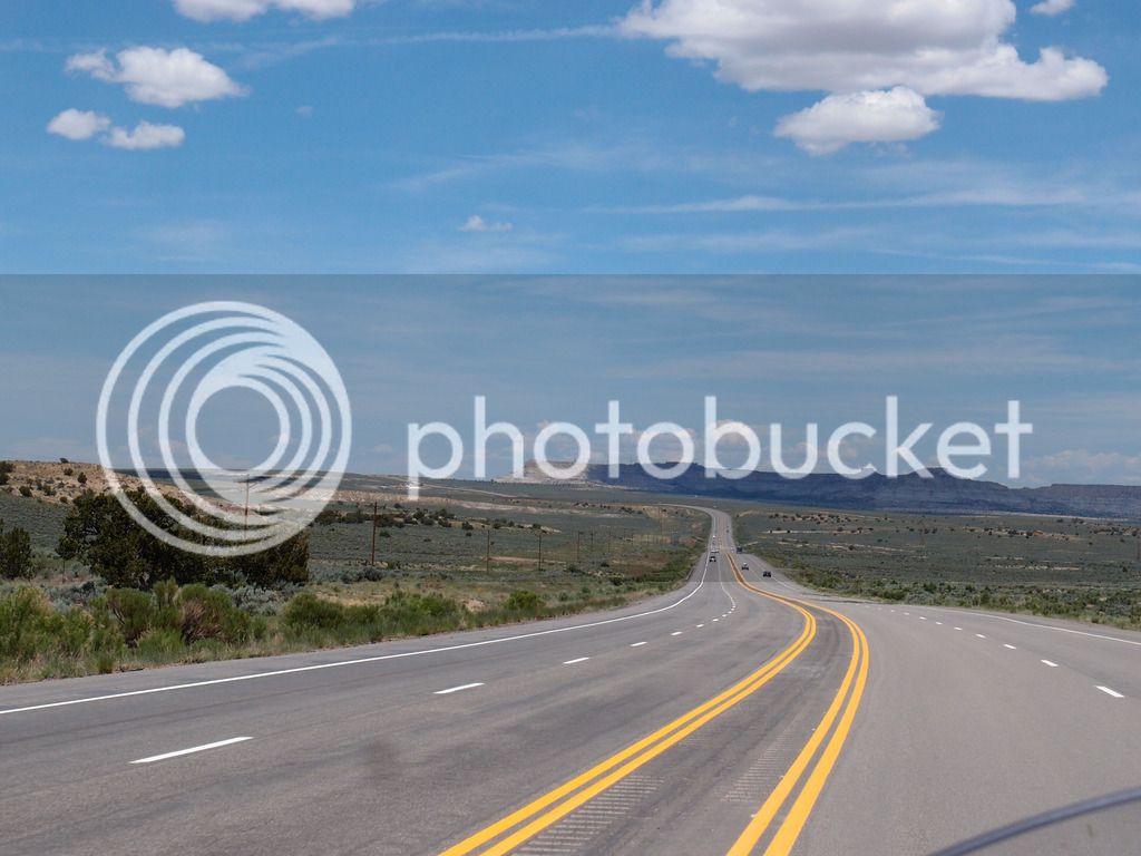
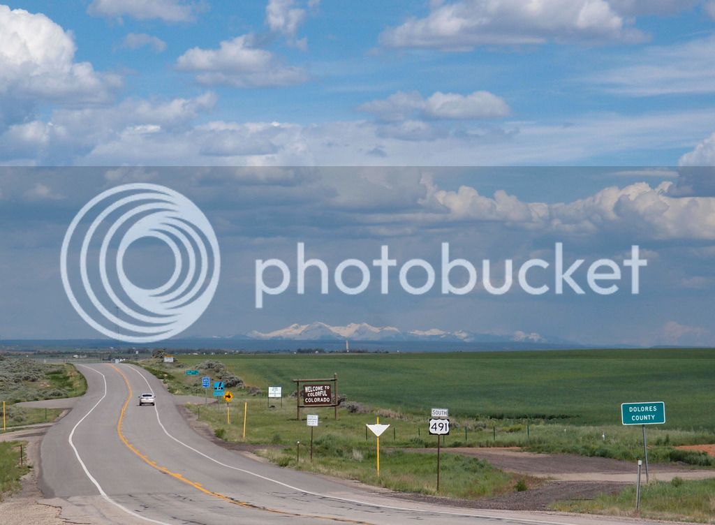
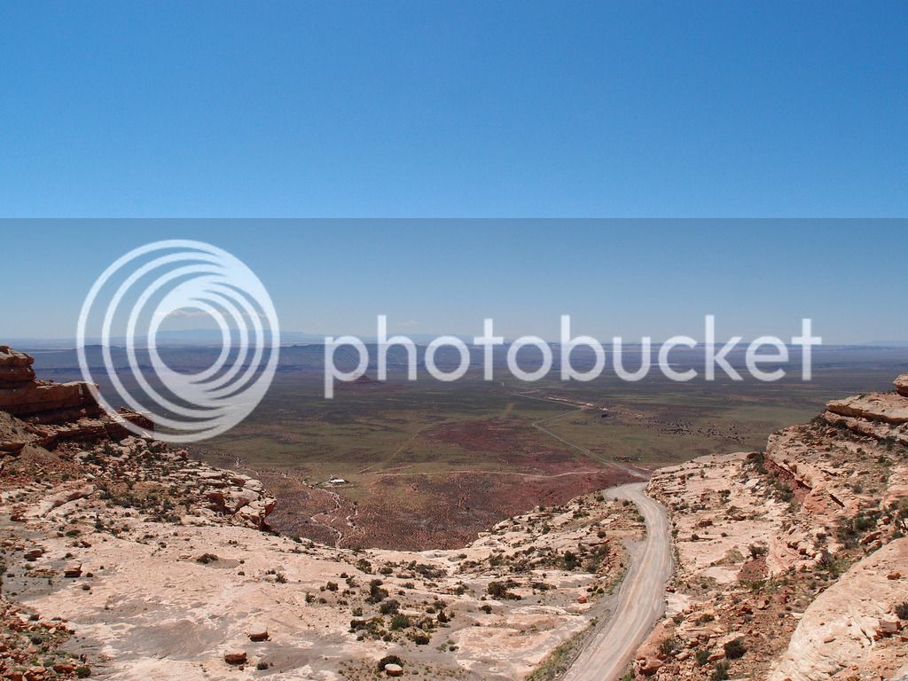
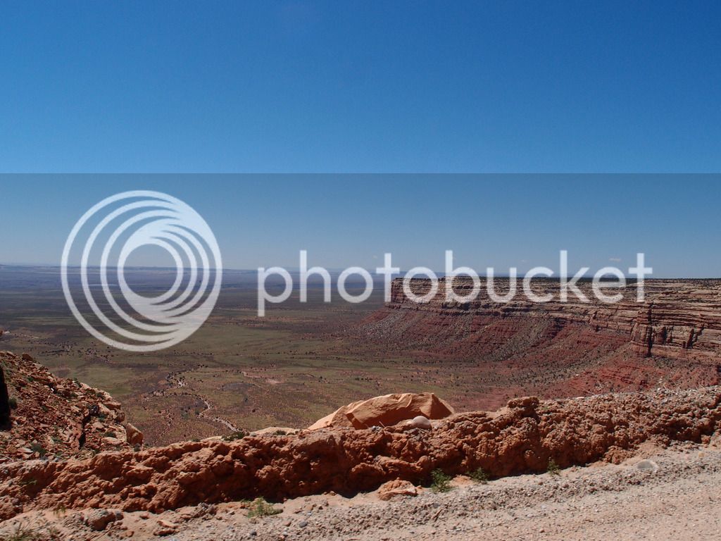
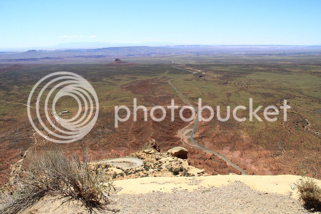
Then up Devil's Highway 491 which was Hwy 666 until 2003.
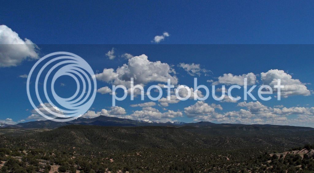
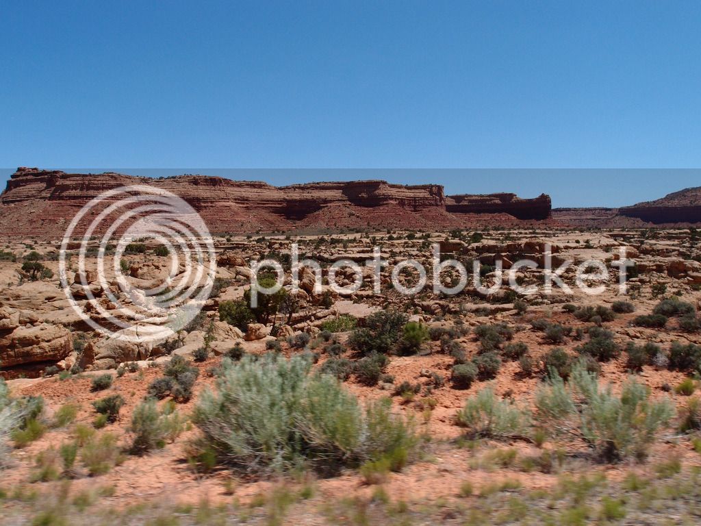
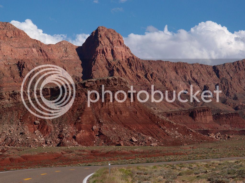
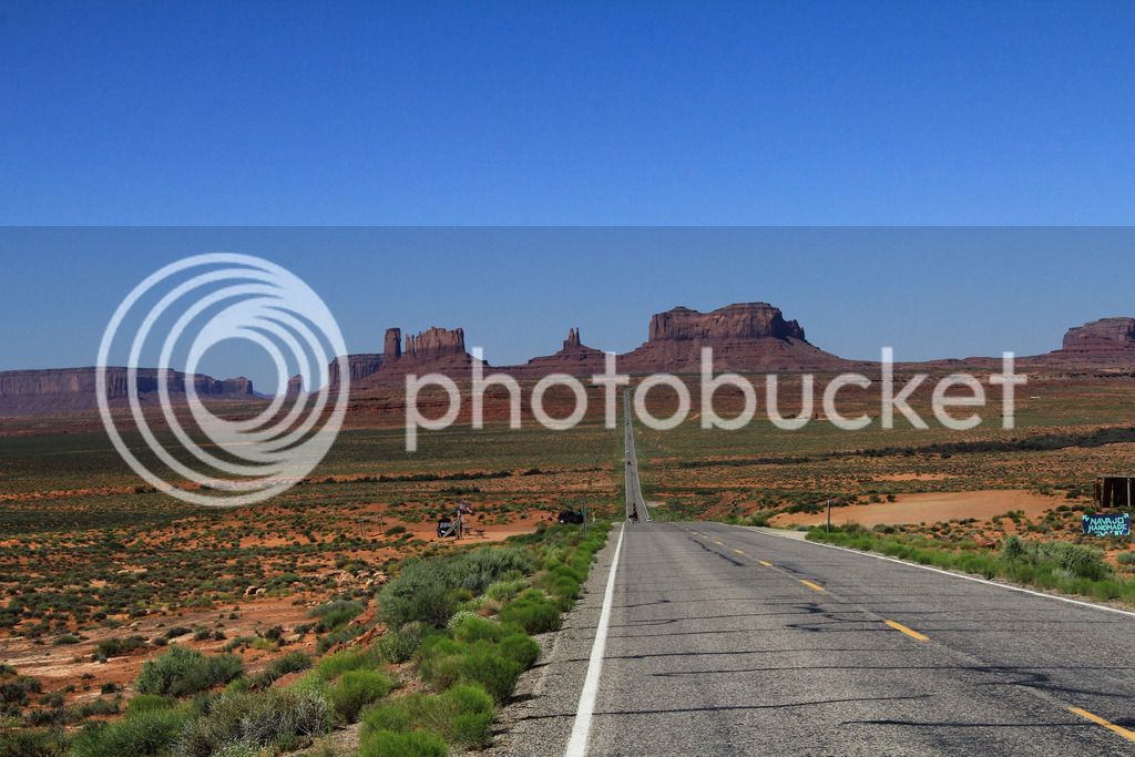
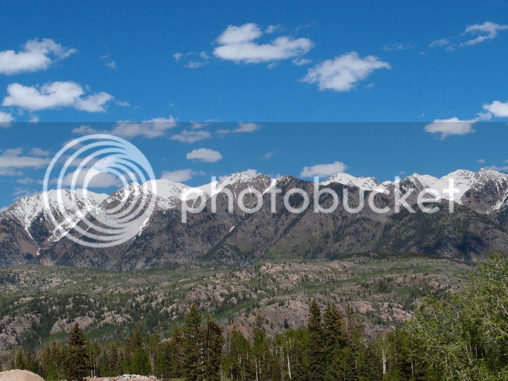
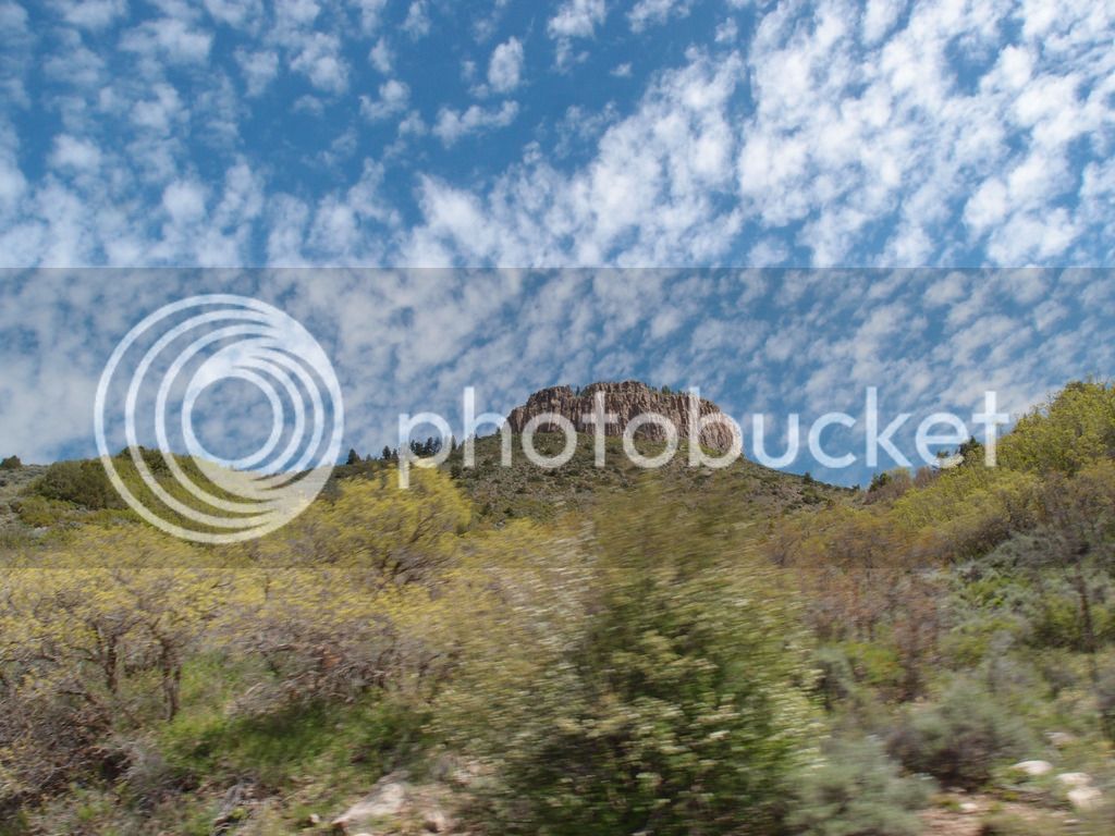
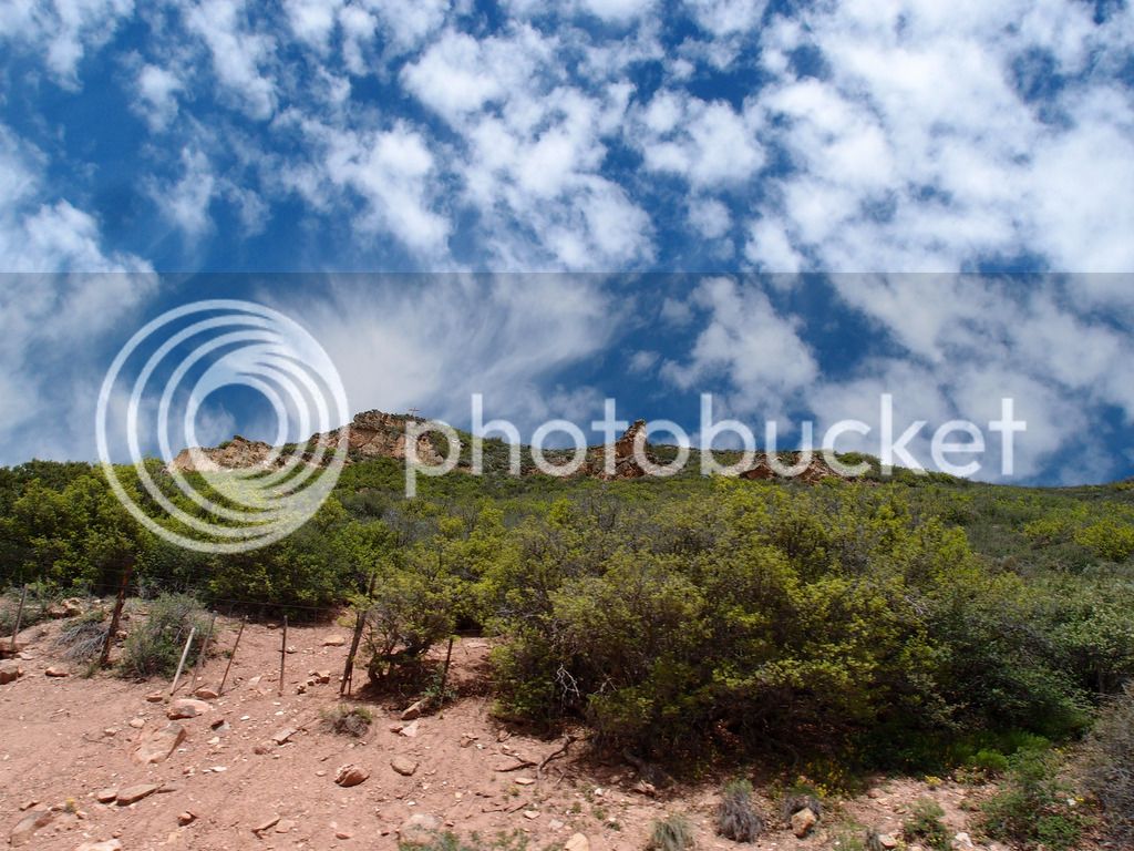
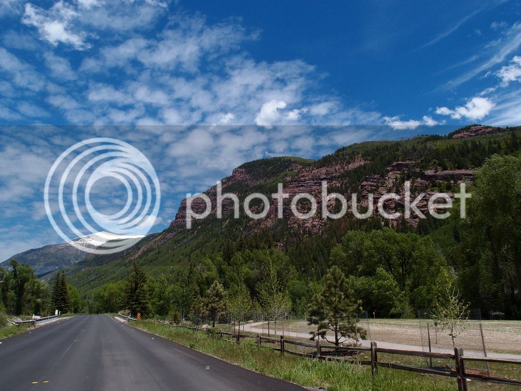
Crossing into Colorado was close enough to Monument Valley that the scenery was similar even though the fields were more green with gray rock than the red we would experience in Utah on the way back through.
Just past Cortez, Co on Devil's Highway it looked like the devil was gonna get us:
...
It was just a truck pulling a semi cab backwards. But it looked freaky in our lane.
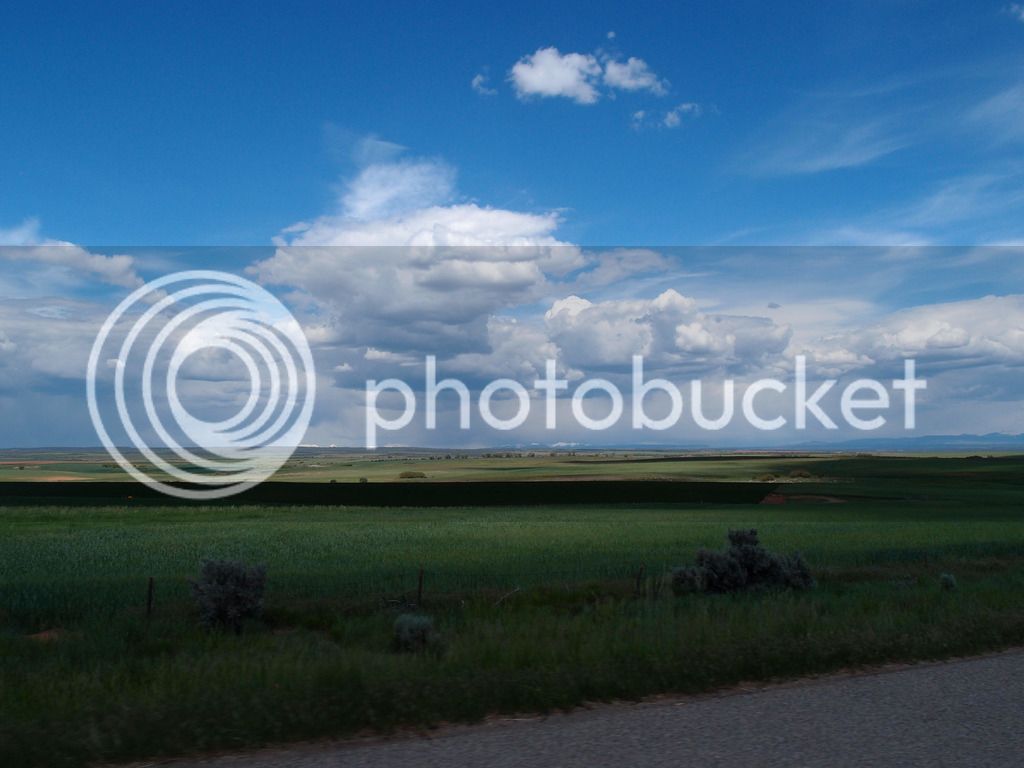
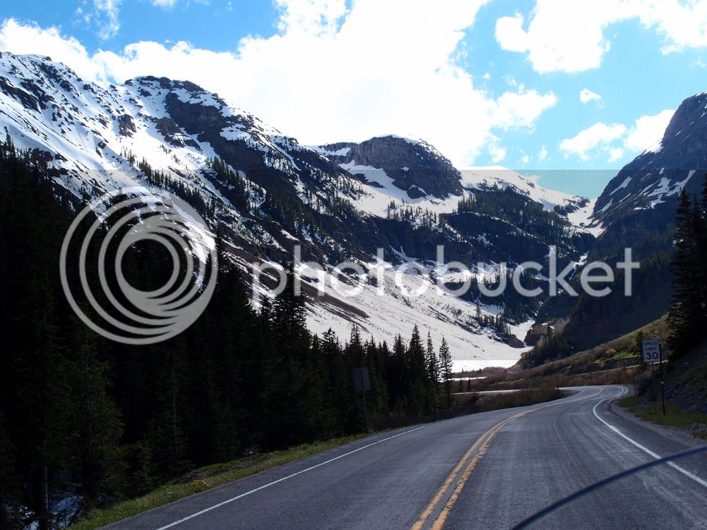
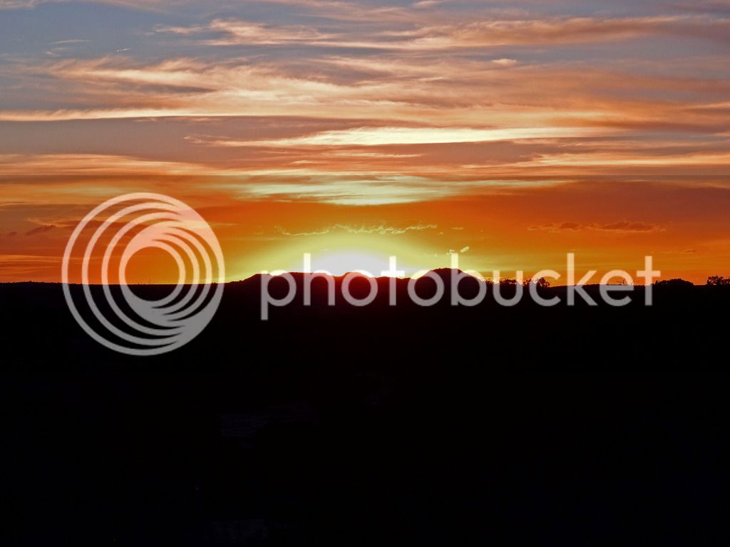
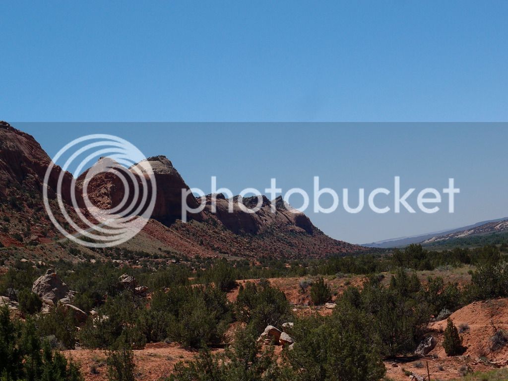
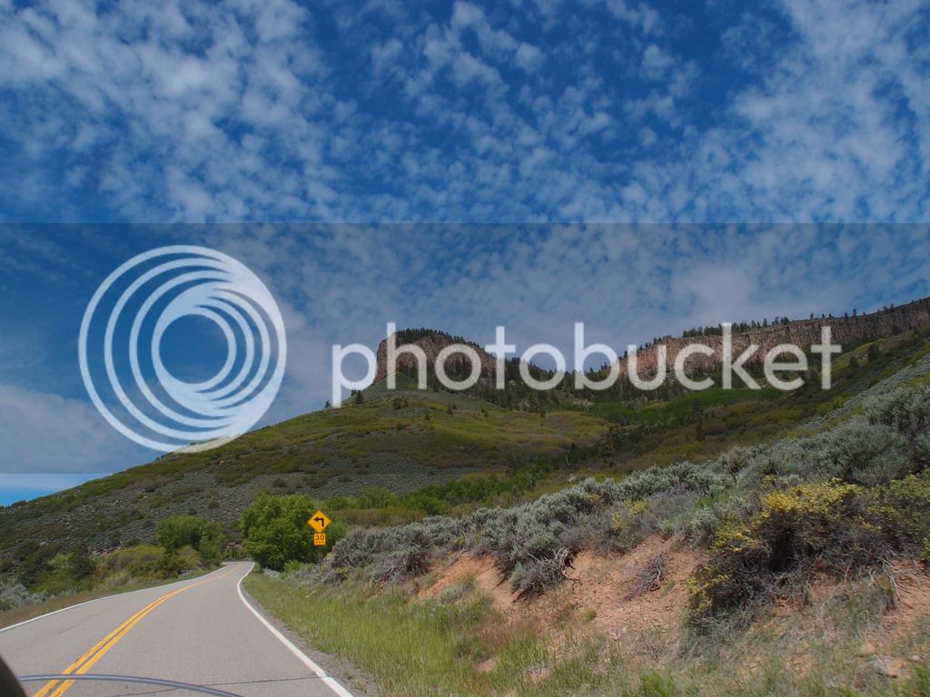
This was in SW Colorado near Yellow Jacket. Rain in the distance but clear for us with nice scenery.
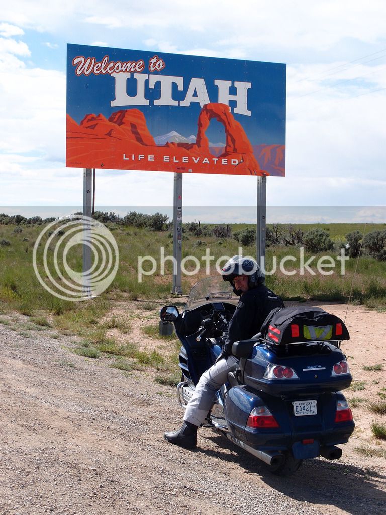
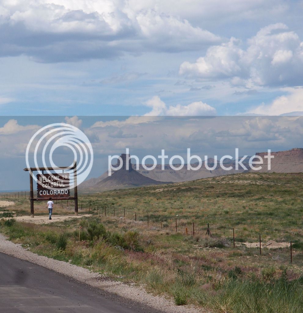
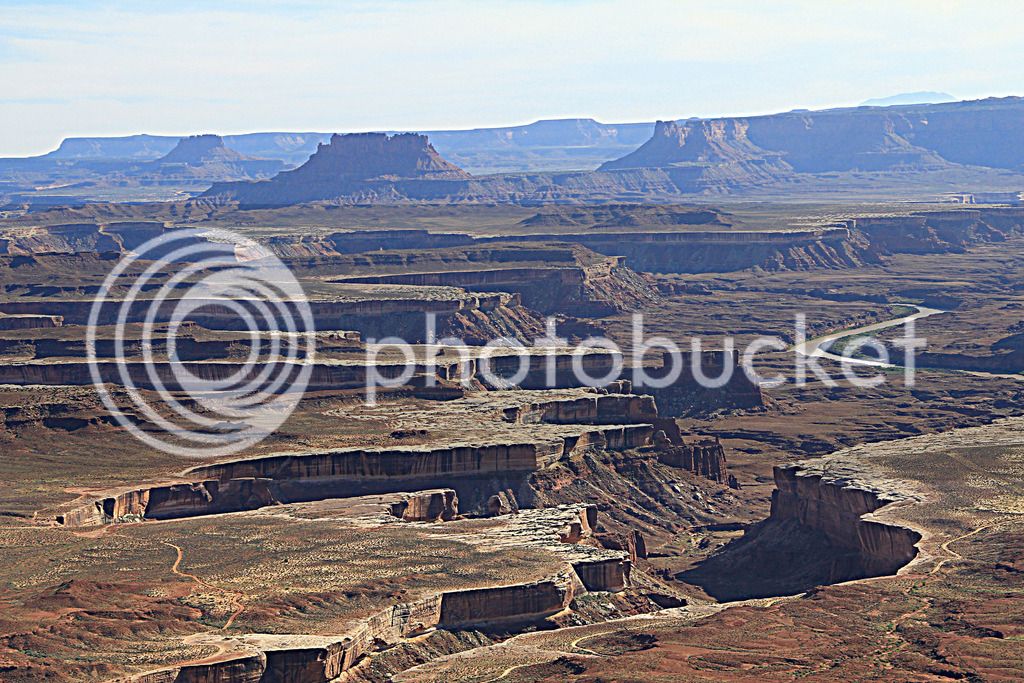
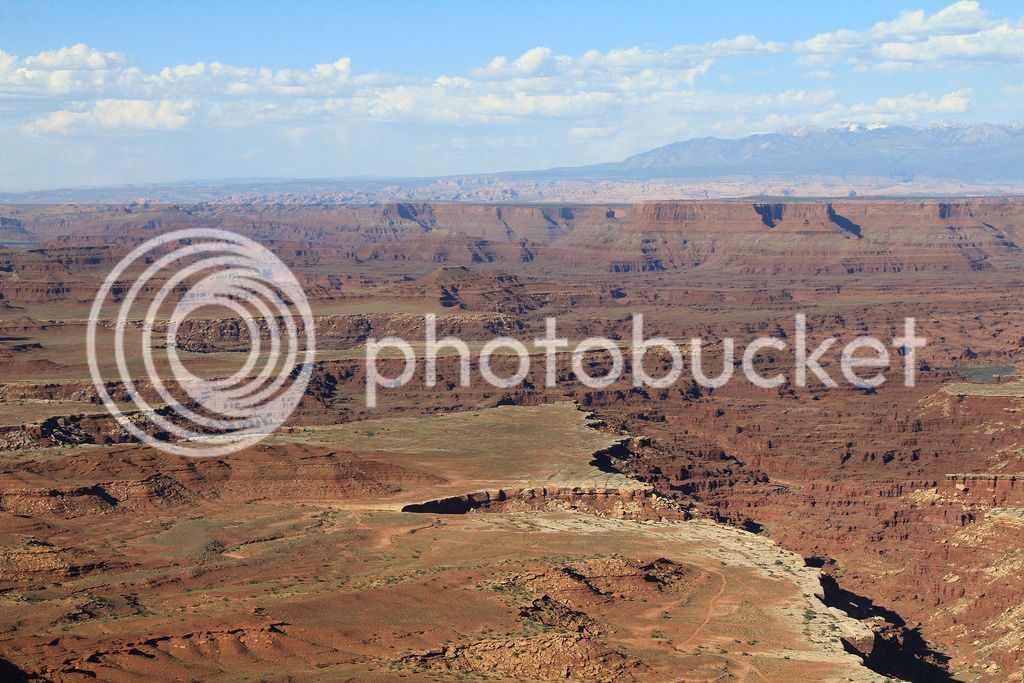
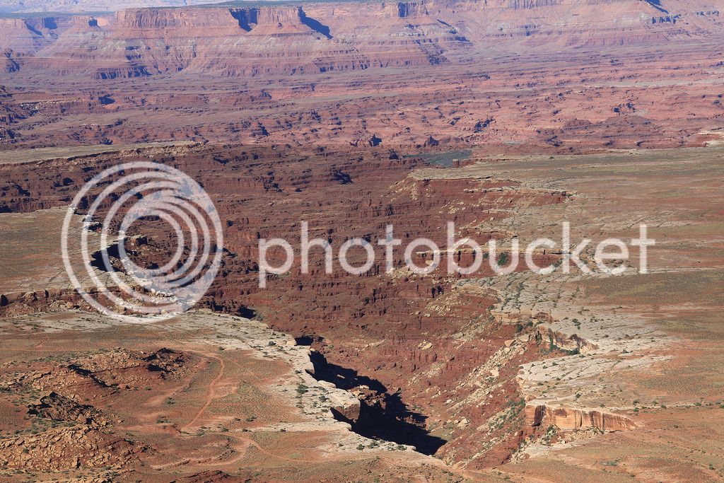
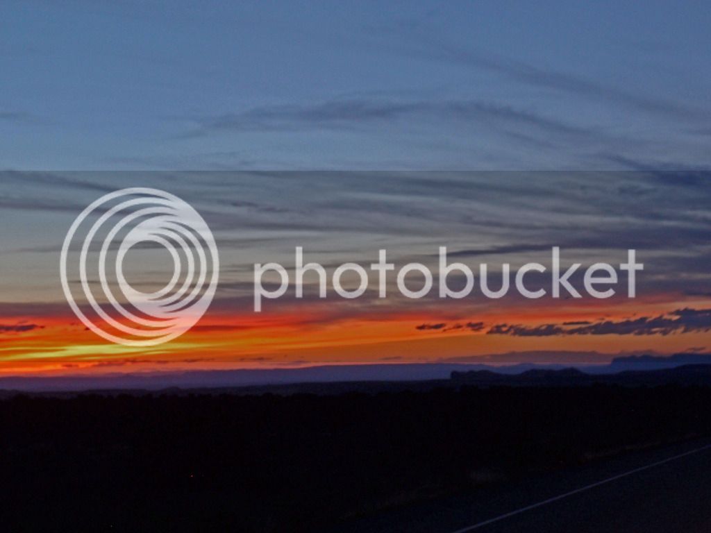
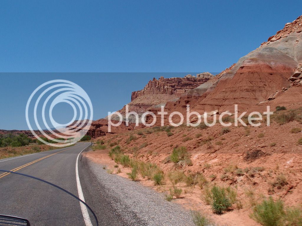
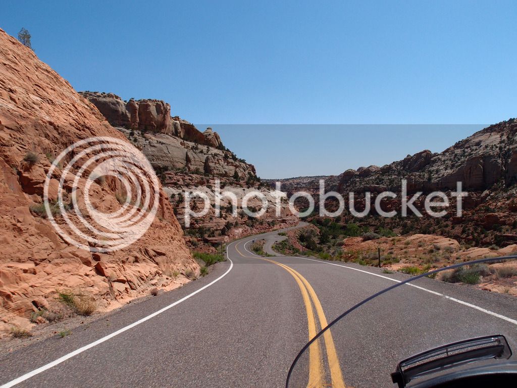
Made it to Utah.
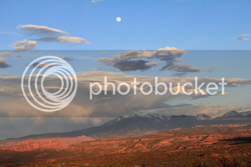
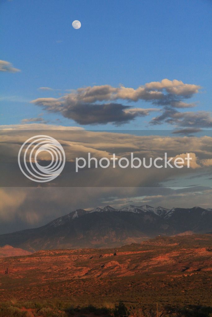
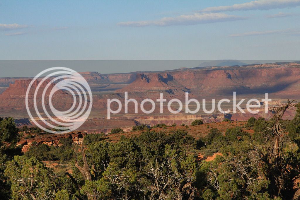
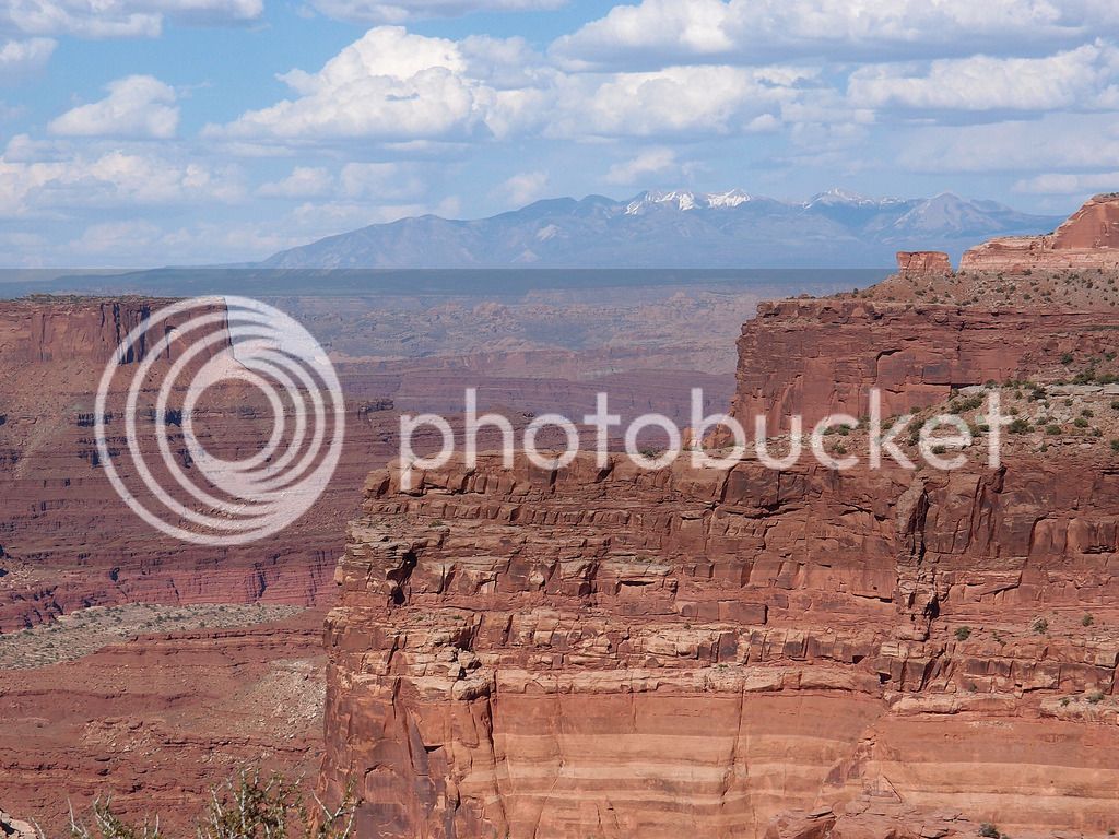
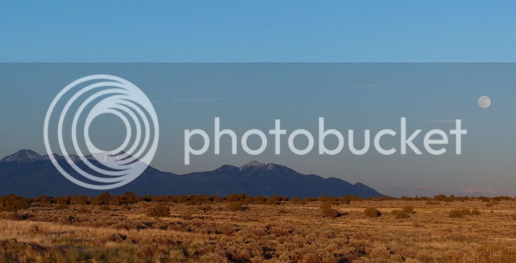
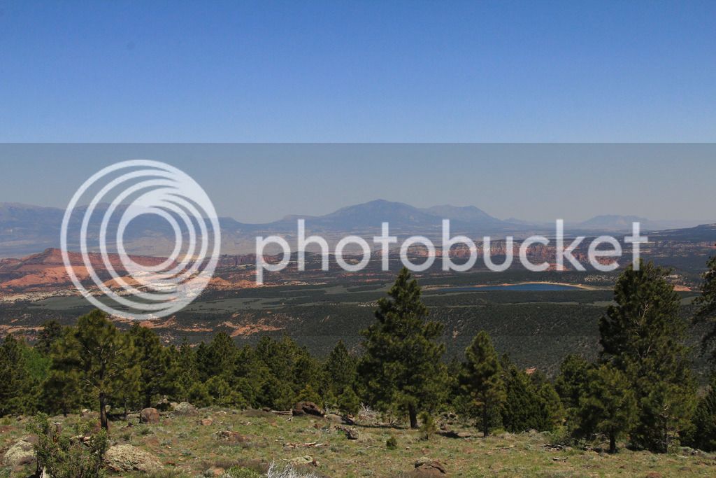
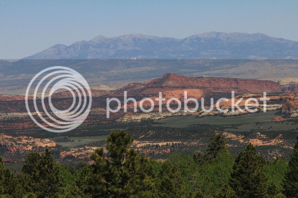
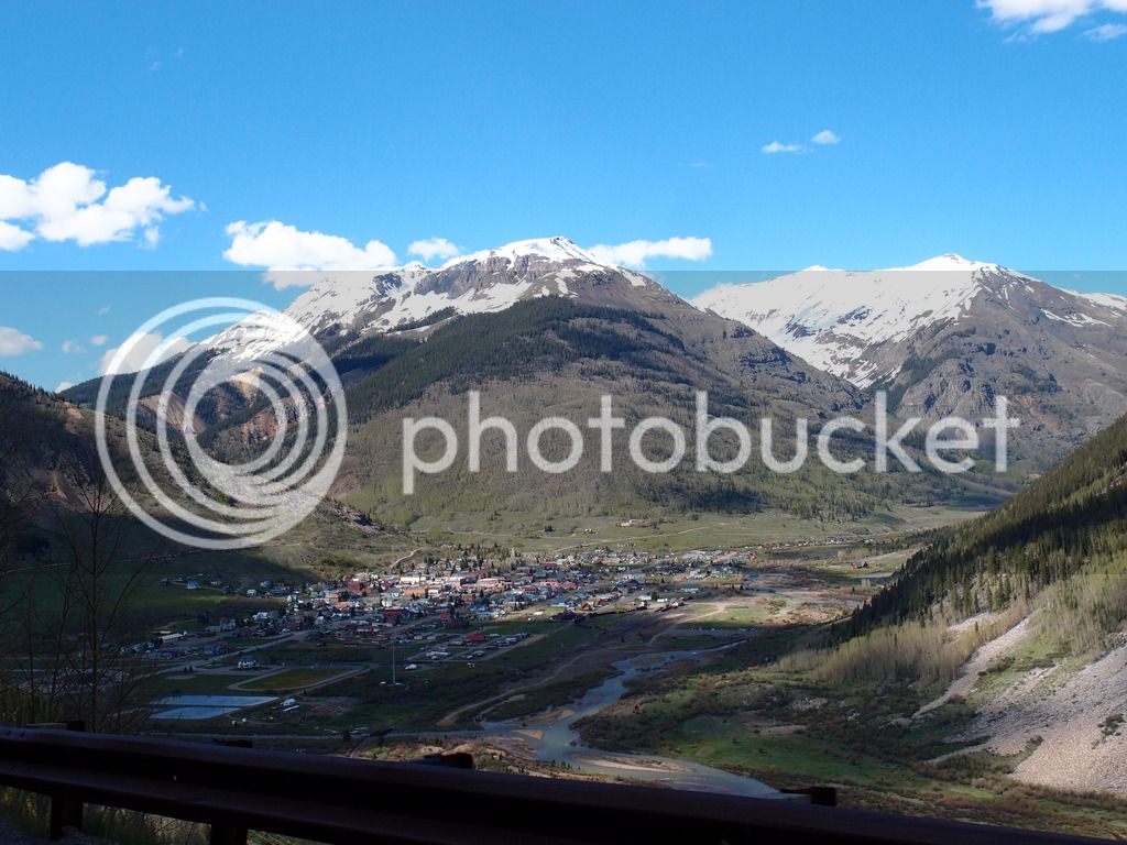
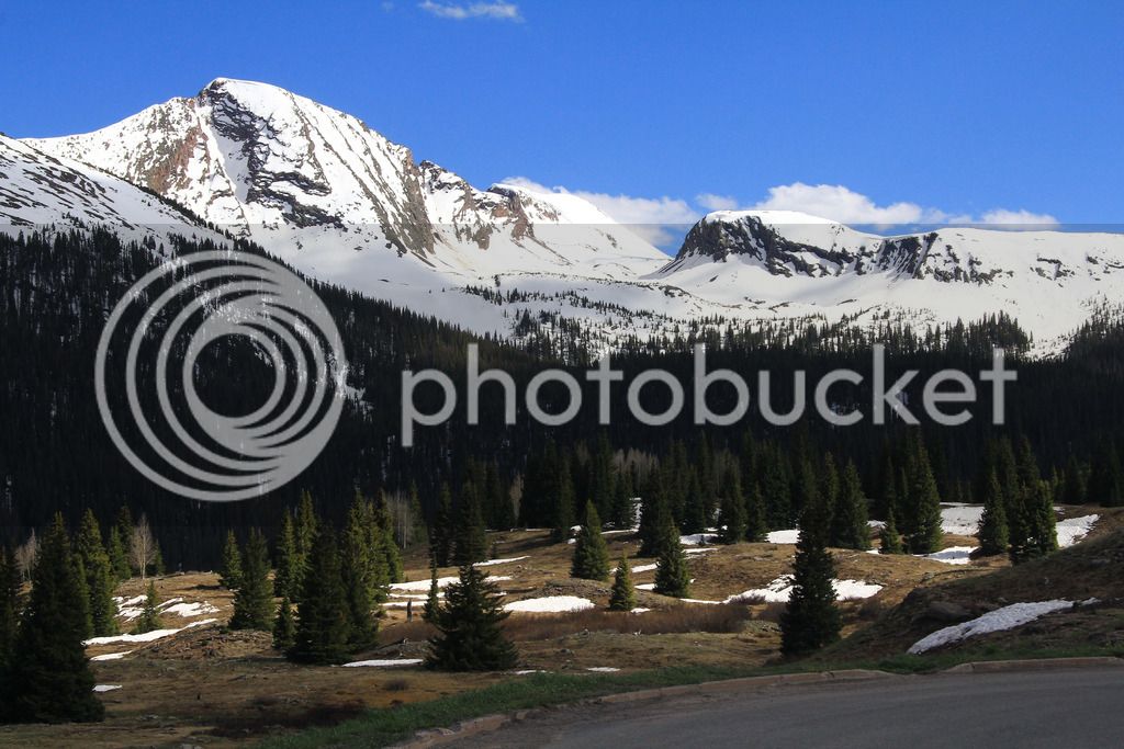
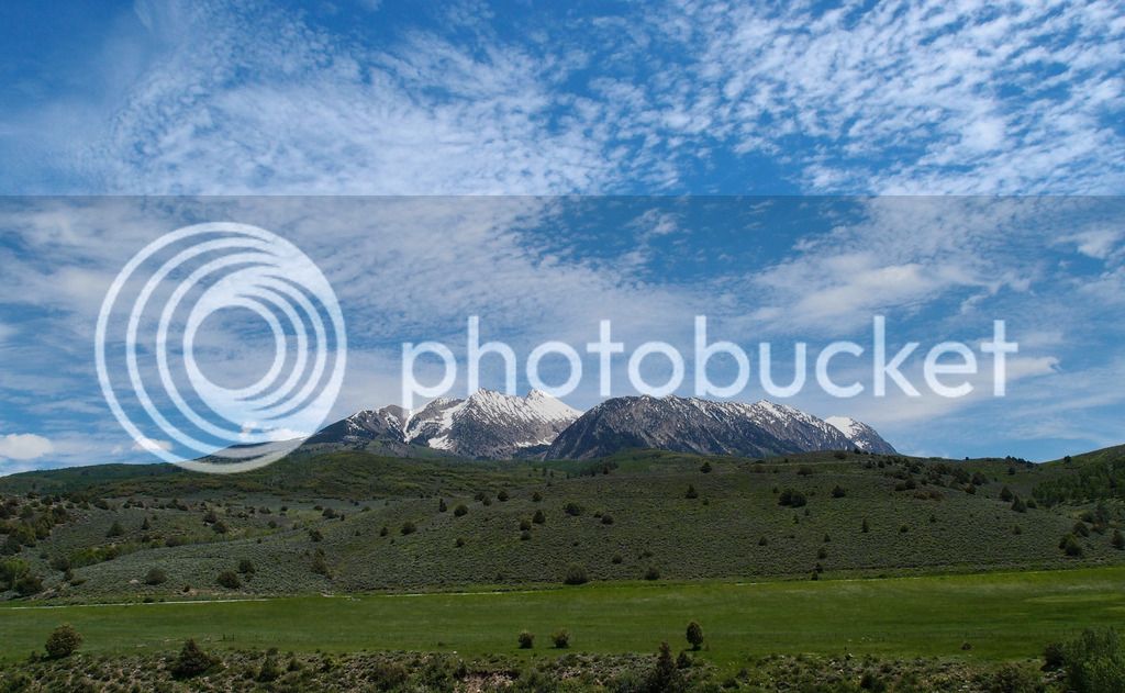
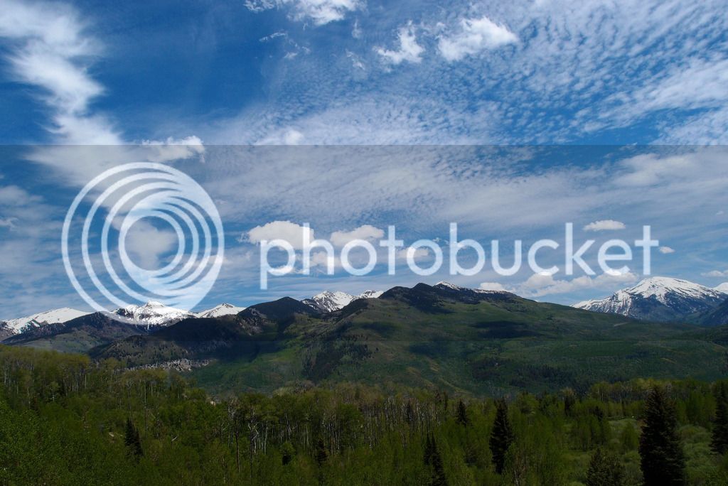
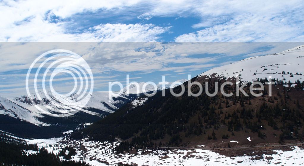
Looking back into Colorado at the San Juan mountains

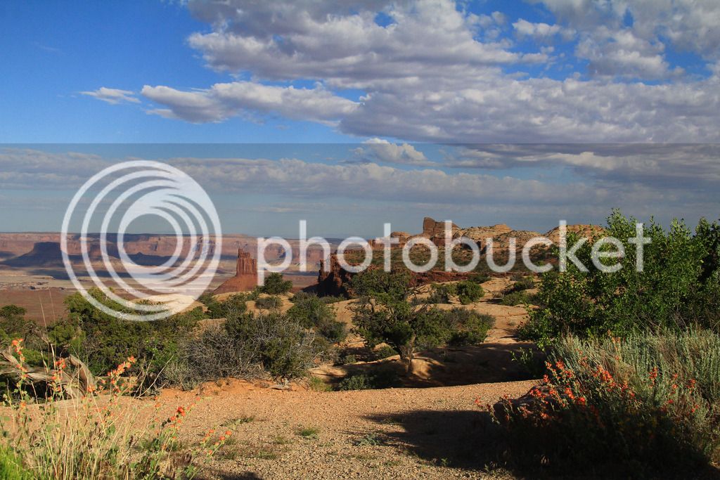
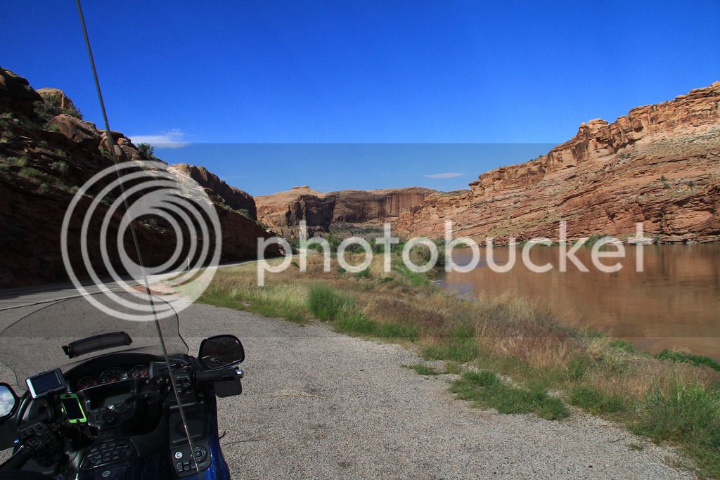
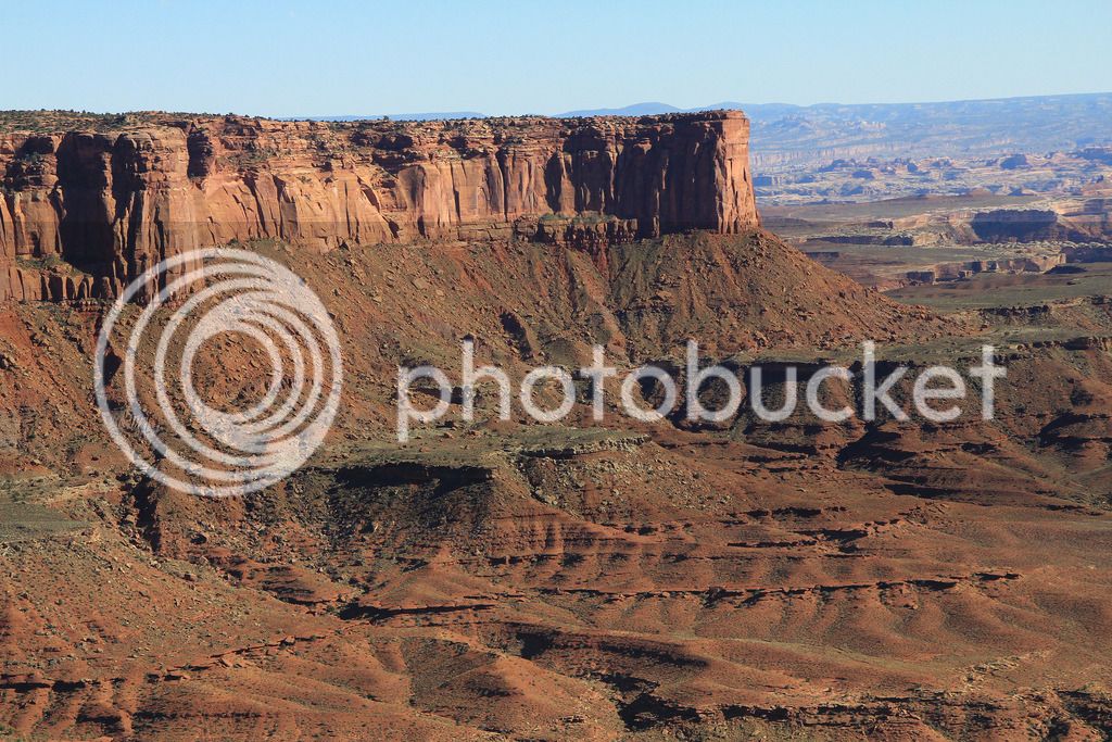
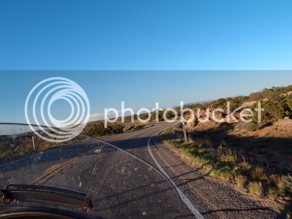
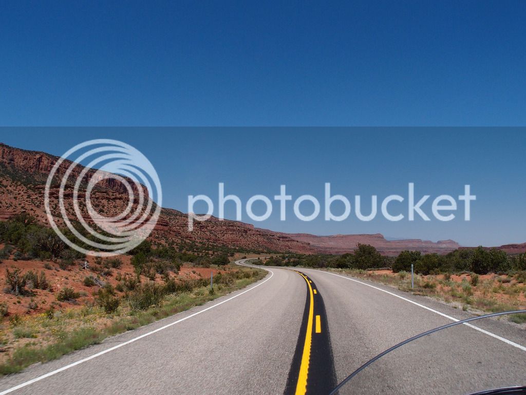
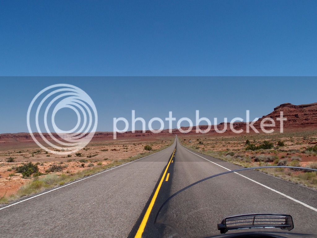
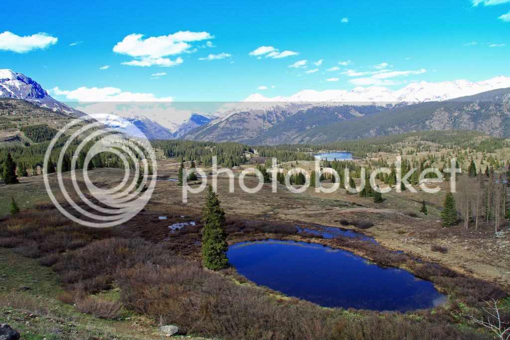
Heading toward Moab looking at the La Sal Mountains on 191
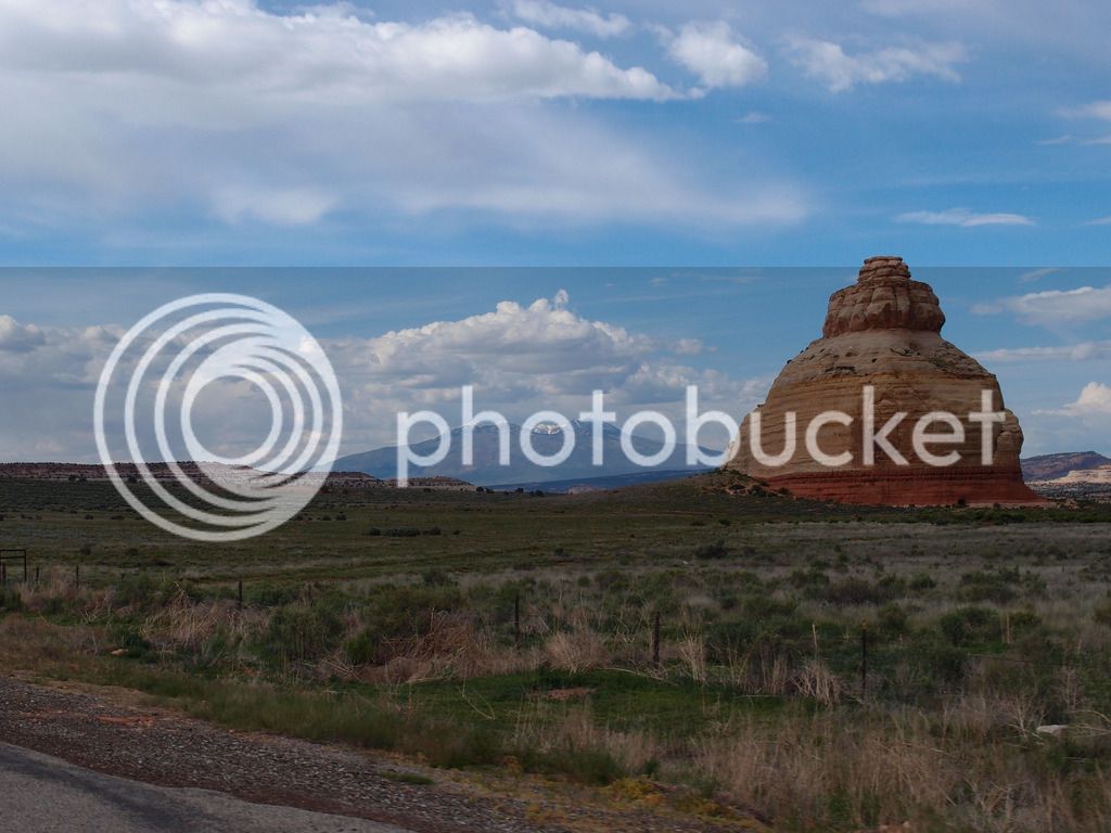
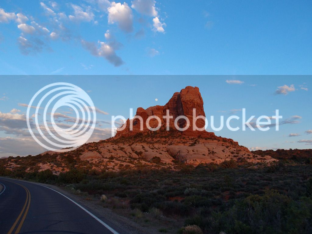
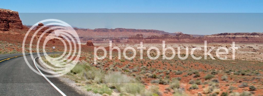
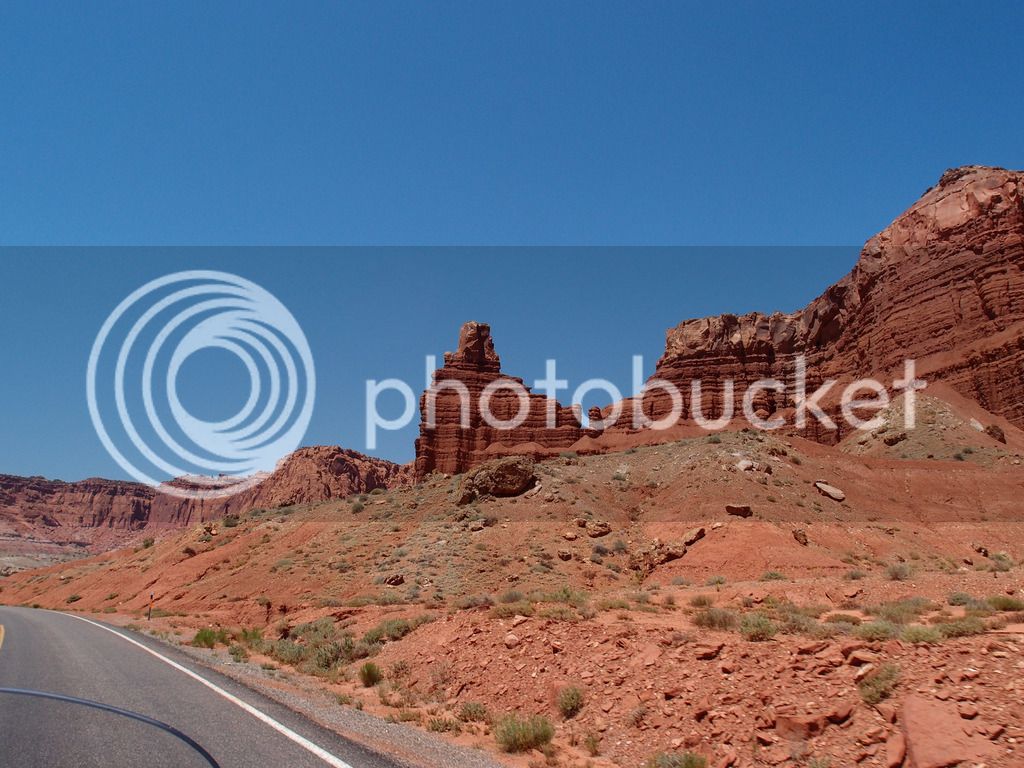
Church rock on 191 S of Moab
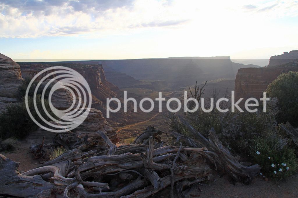
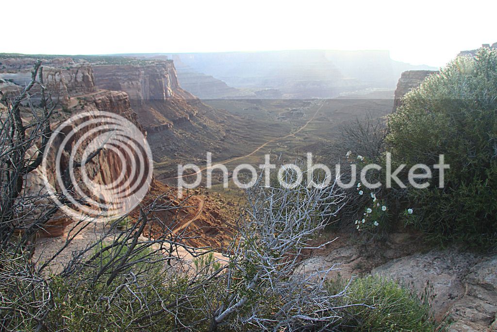
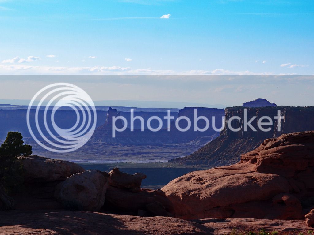
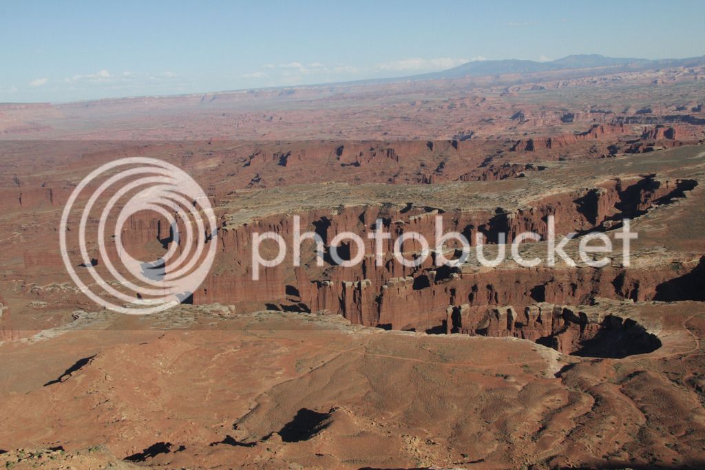
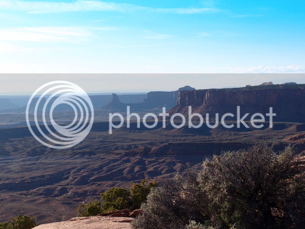
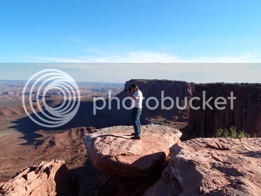
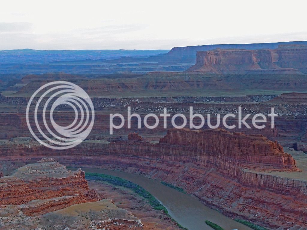
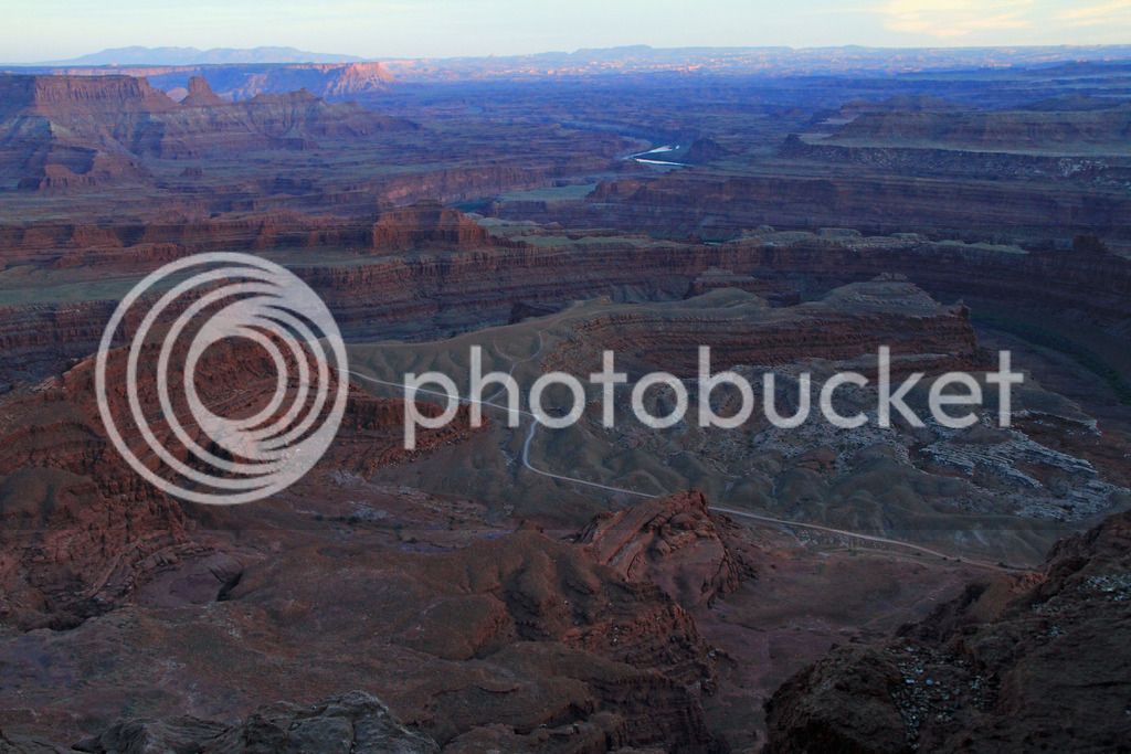
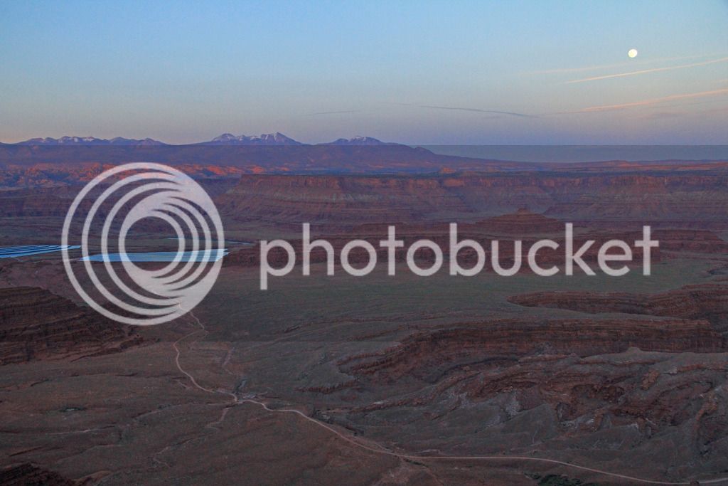
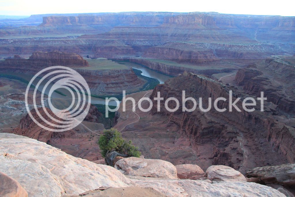
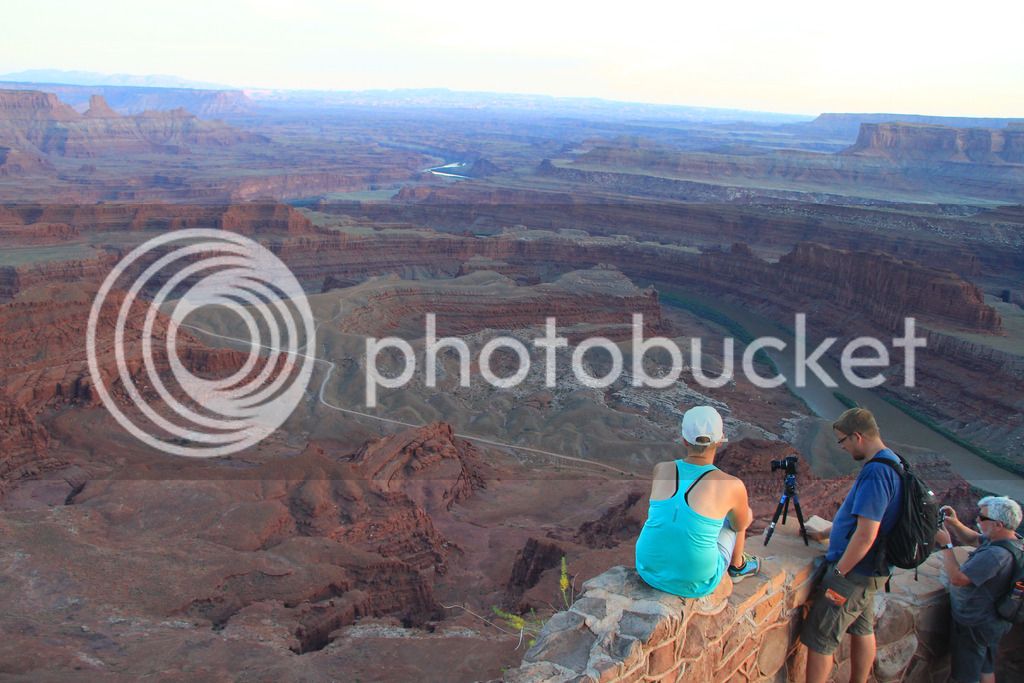
Made it to Moab and checked into the hotel at about 5:30 so we decided to go ahead and see Arches that evening. We dropped off the luggage at the hotel and left behind the riding pants and boots to allow for easier walking in the park. This worked well and we used this strategy for the 4 Utah parks.
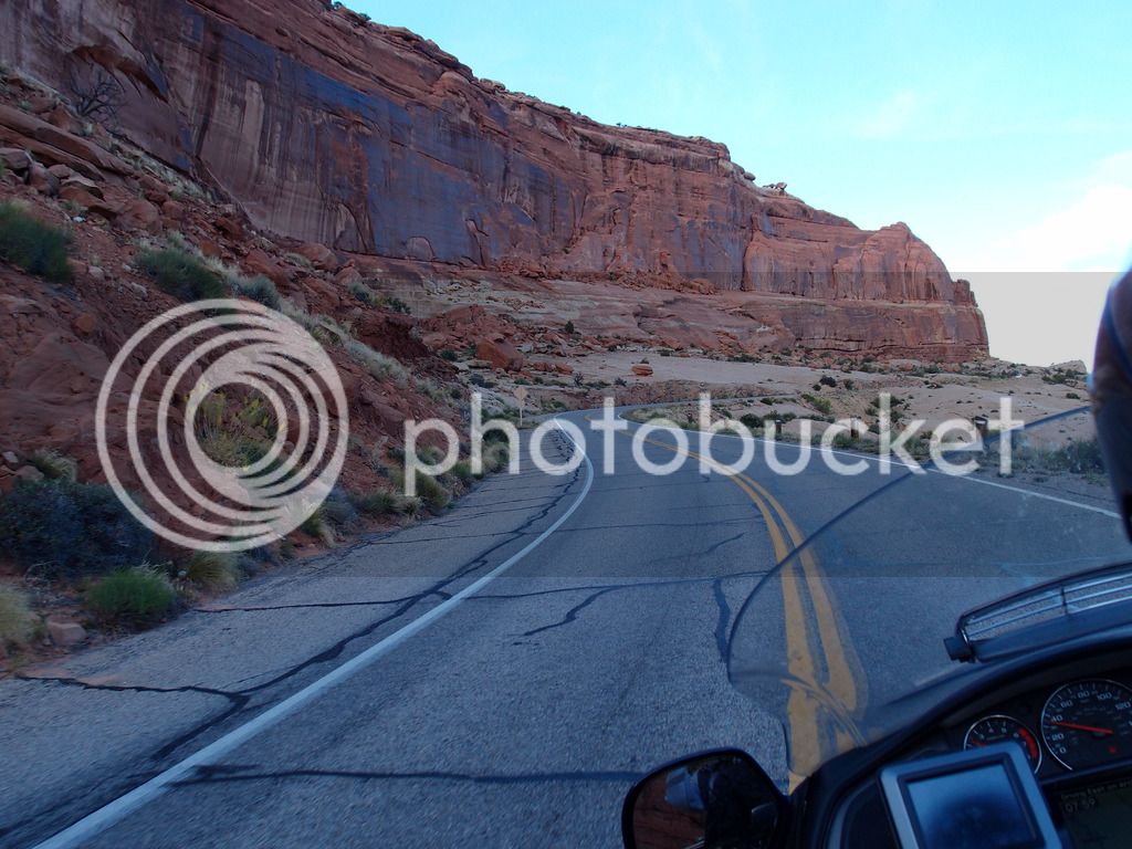
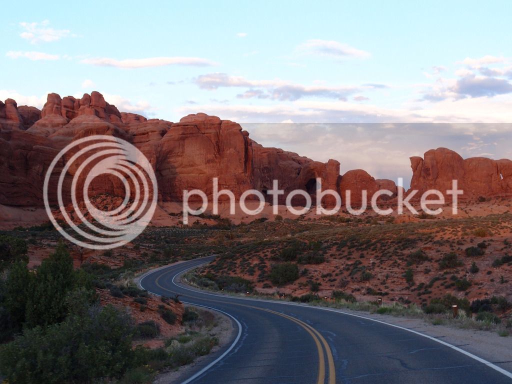
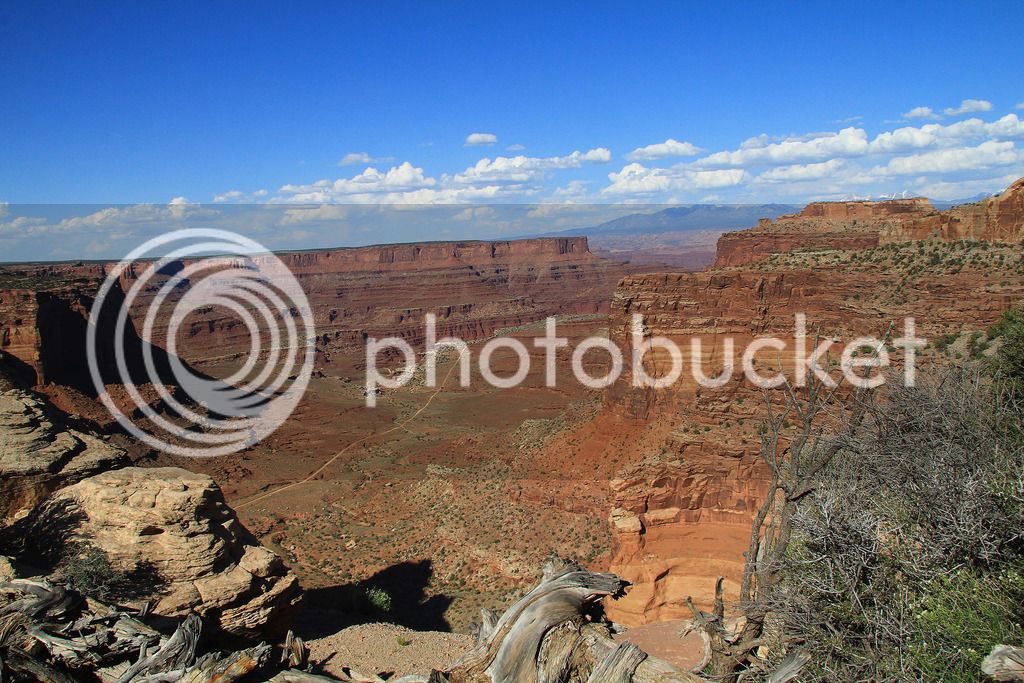
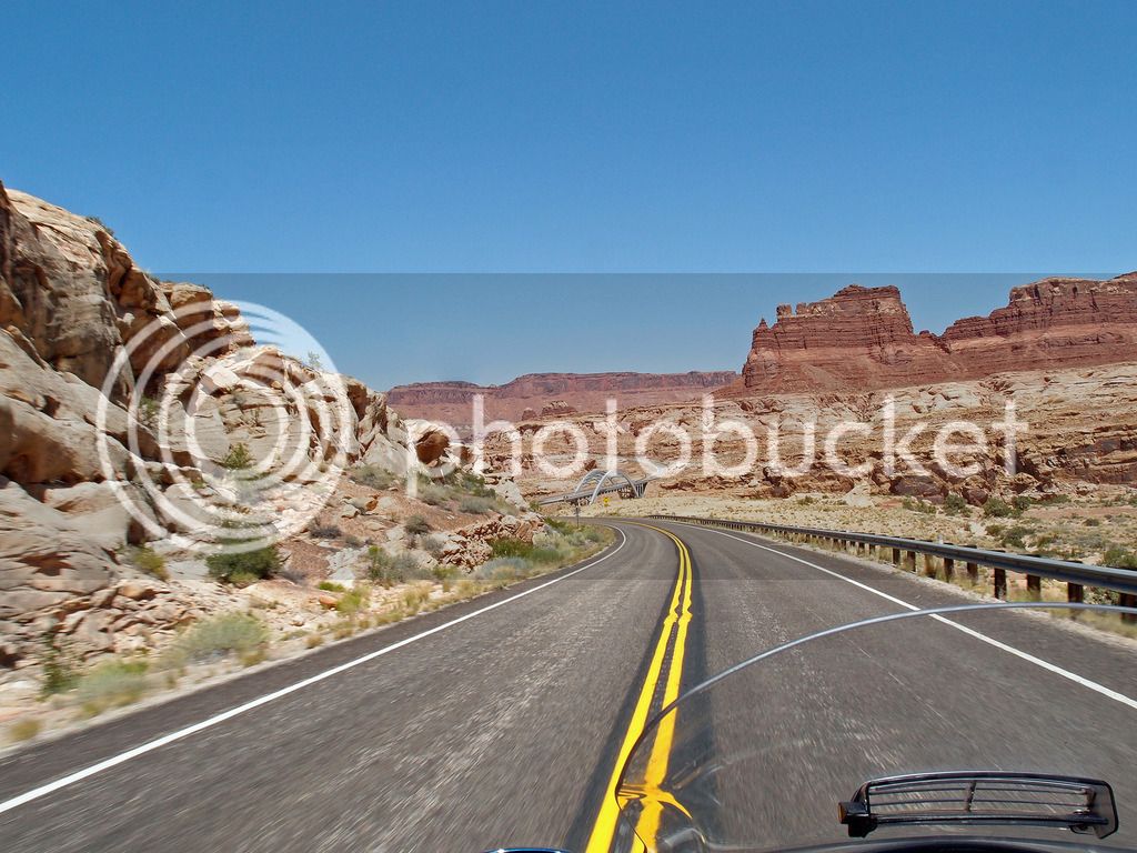
This is heading up the road into arches
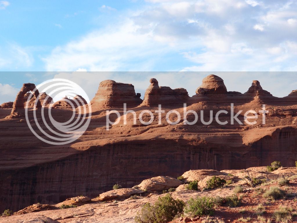
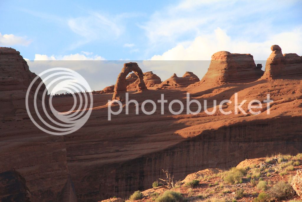
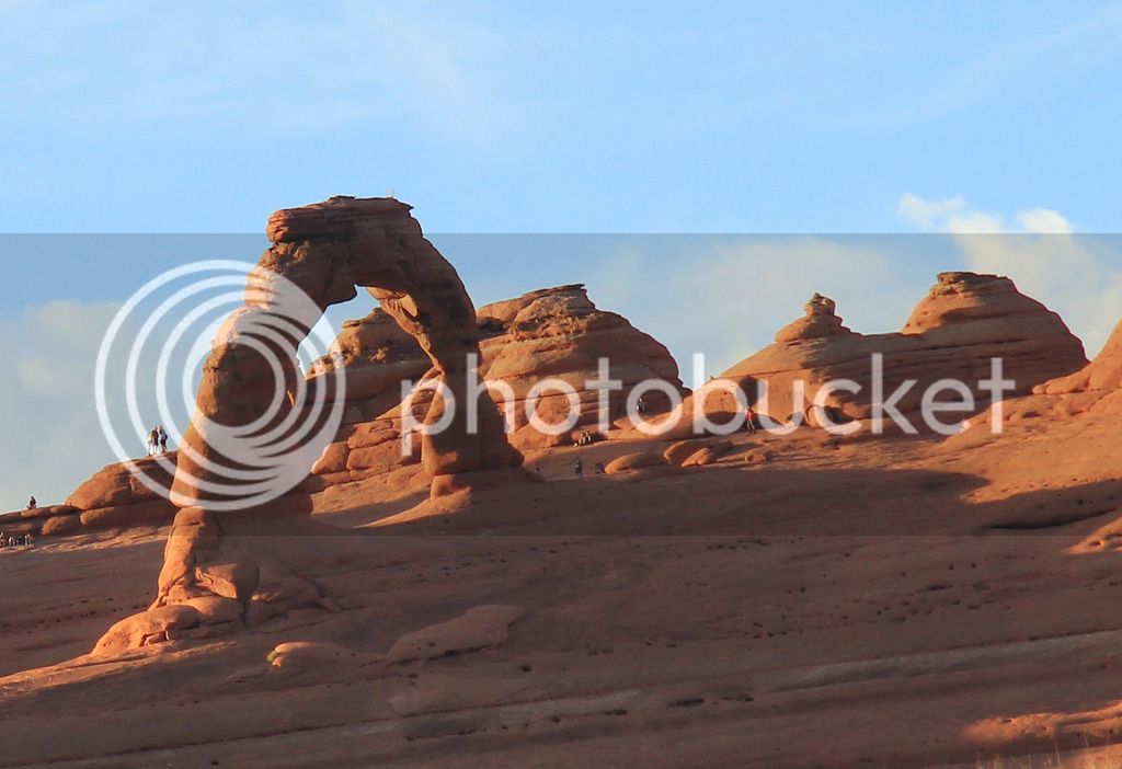
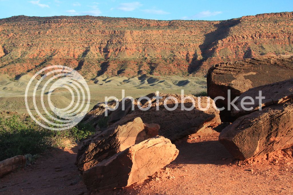
We drove around a bit, then went to Delicate Arch and walked the short hike up to get a closer pic.
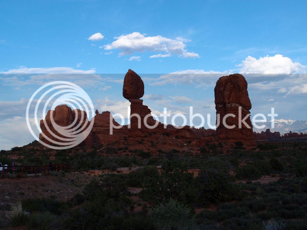
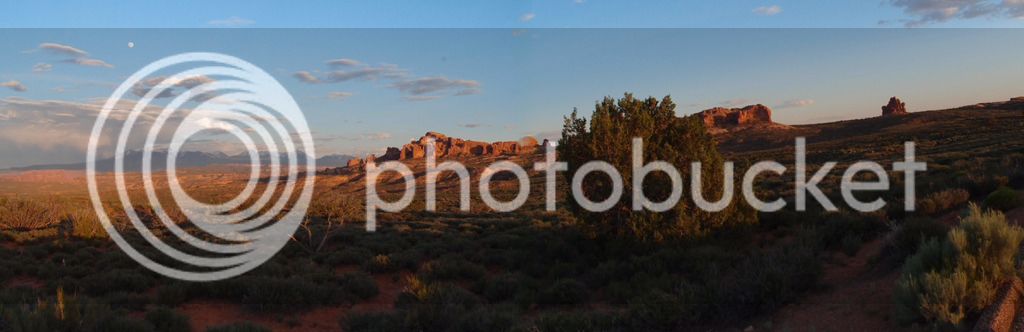
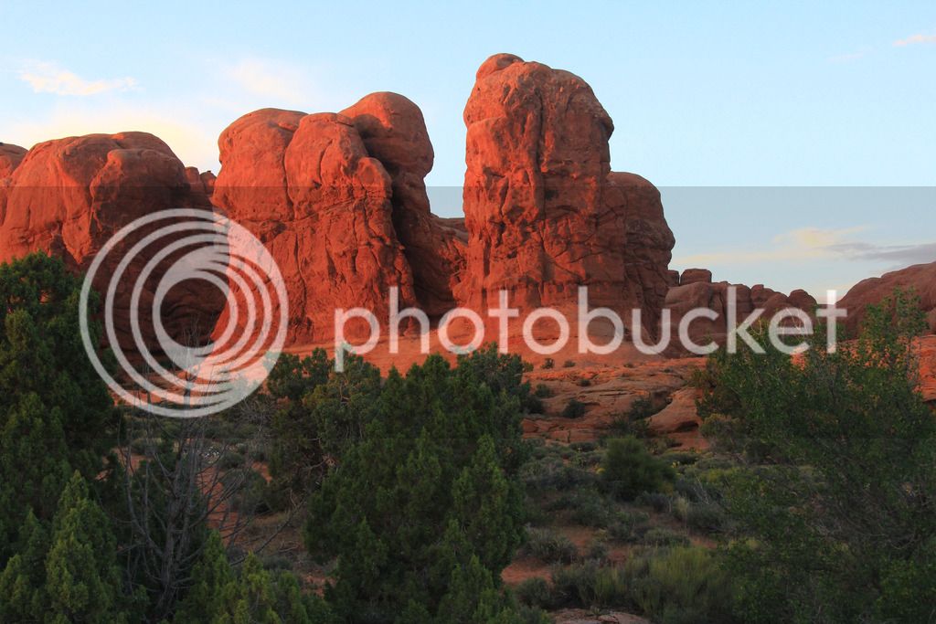
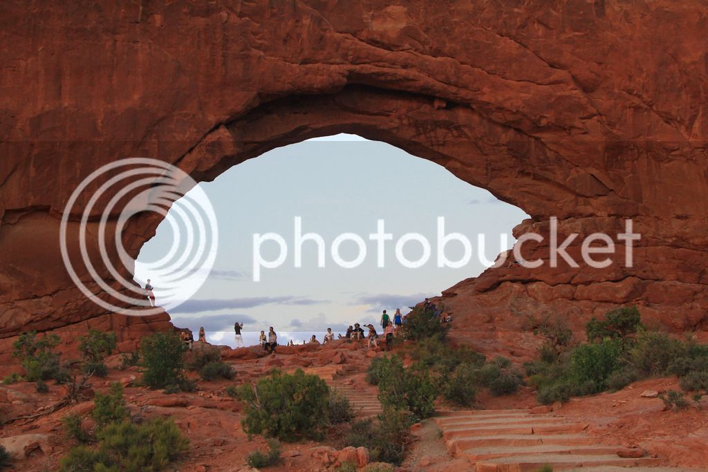
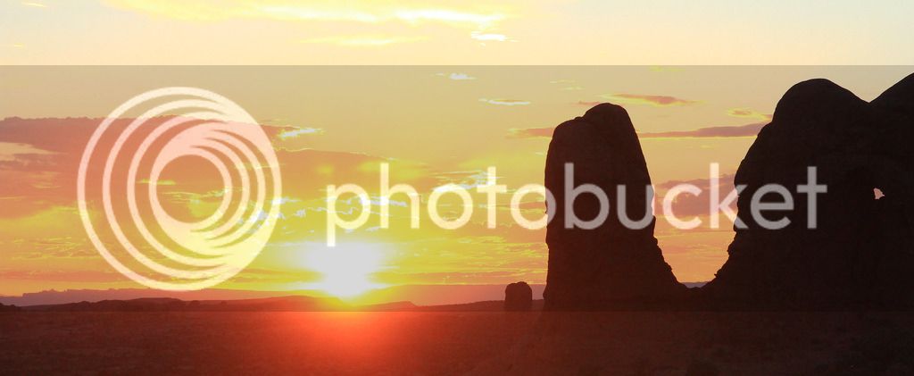
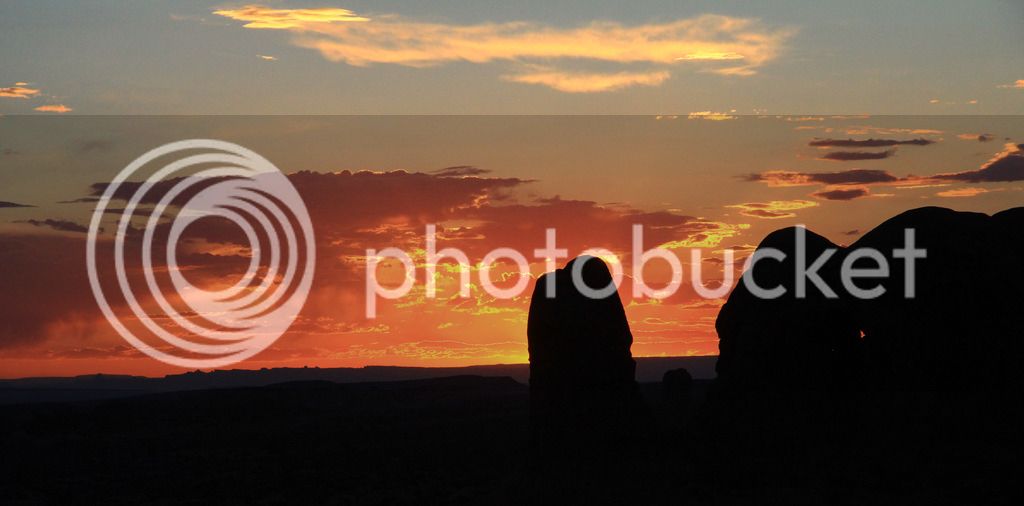
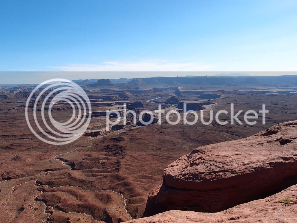
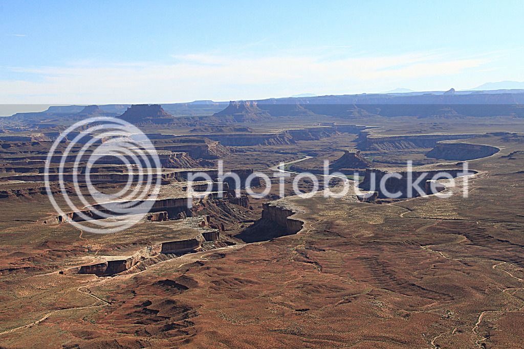
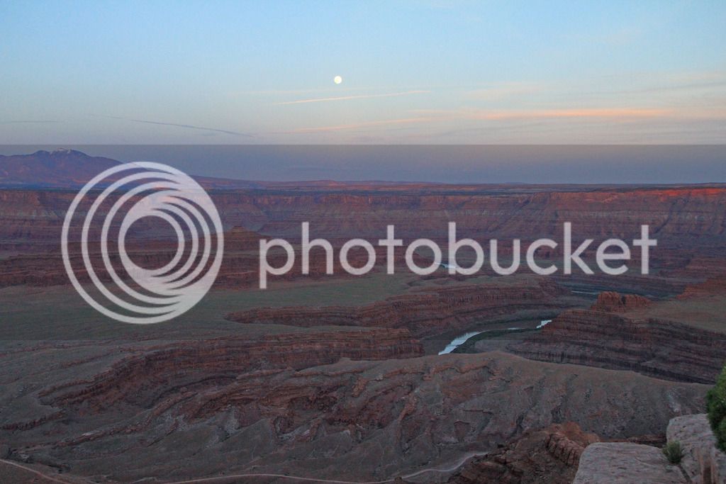
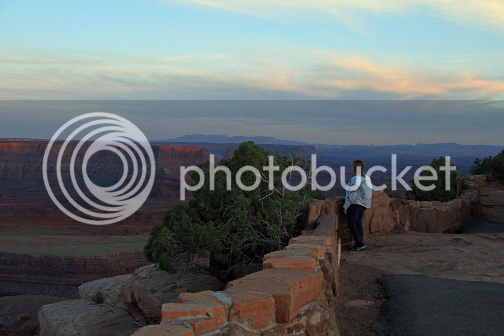
Then we drove around through most of the park and stopped at Windows until the sun went down.
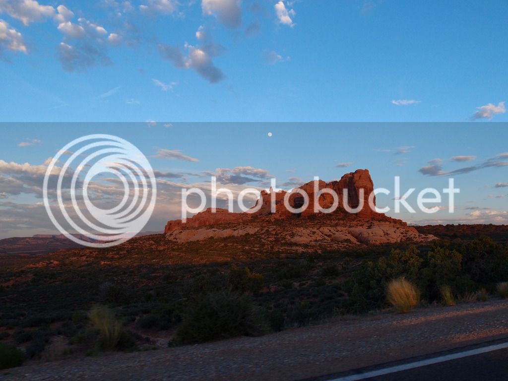
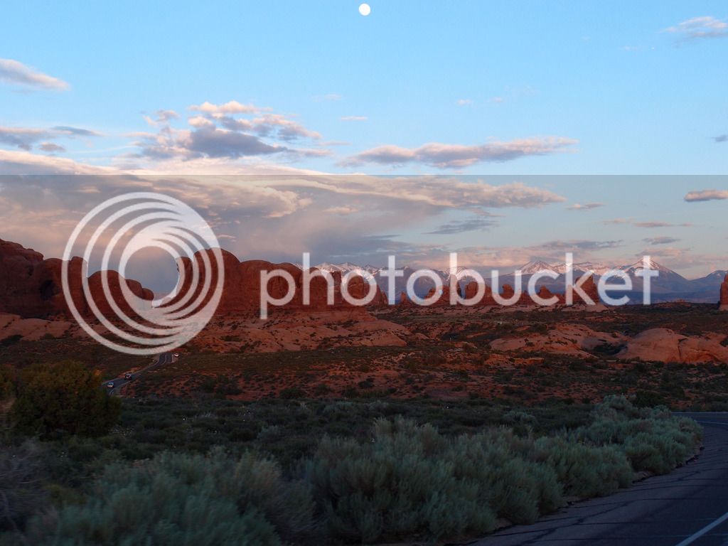
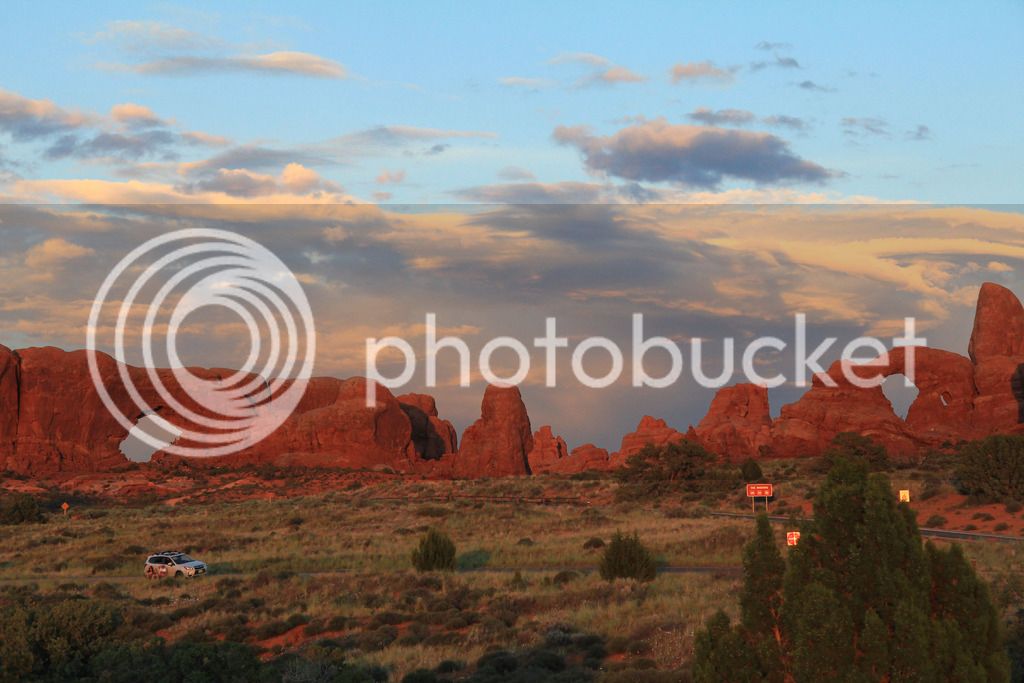
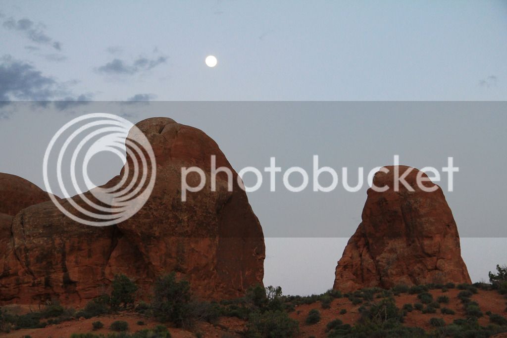
La Sal Mountains were beautiful from arches
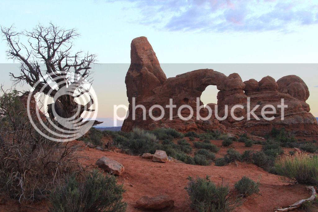
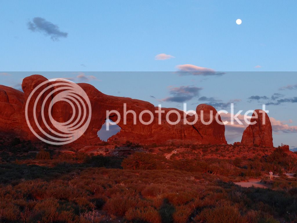
Turret Arch
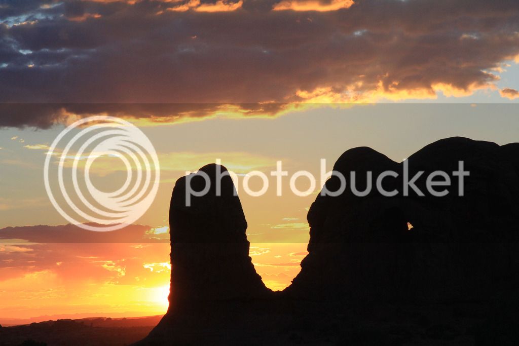
Sunset
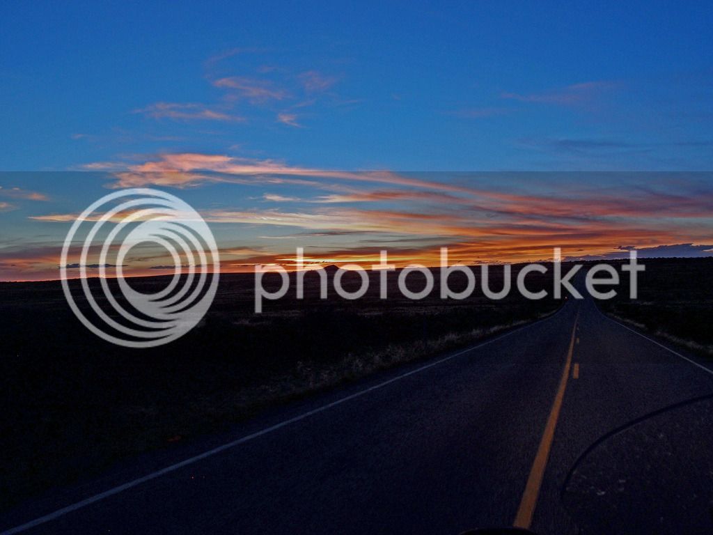
Ended up with 480 miles on Sunday.
Continued...
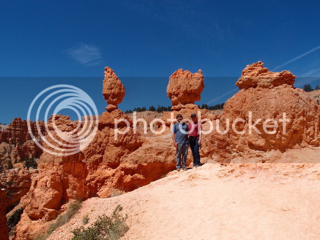


")

