Fontanaman
Robin Trower
I have been looking to go somewhere on either the FJR or the DR for the past couple of weeks. I was looking at Jasper National Park in Canada and then onto the Yellowknife Hwy 16 over to Prince Rupert in British Columbia BC. Poor weather scuttled this idea with rain and temps in the '30's.
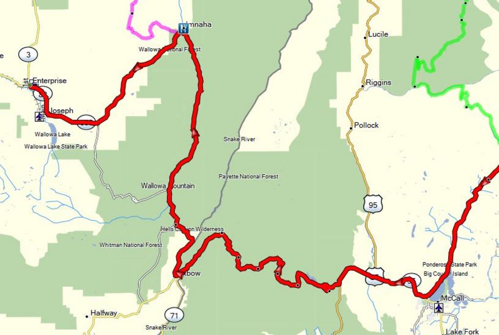
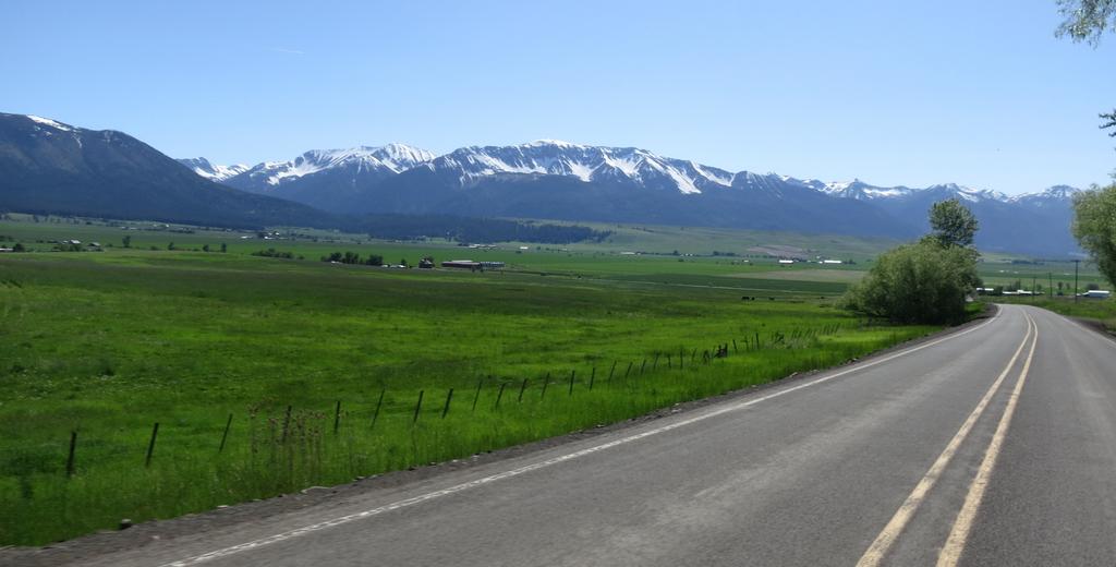
Go south I say to myself and ride some favorite roads in NE Oregon on the FJR. I whip out a Come Ride With Us! map I had collected a few years ago while riding in NE Oregon. These maps are available at motorcycle friendly businesses throughout NE Oregon. The maps include gravel and paved roads and there was a loop around Hells Canyon National Recreation Area on mostly gravel roads. The maps fail to include gravel road names so I create routes using Basecamp.
I like the idea of riding sticking to gravel roads as much as possible because I have been around Hells Canyon many times on the paved roads so this was something different and the reason I bought the DR650.
This ride will start and end in Lewiston Idaho cause that is were the loop begins.
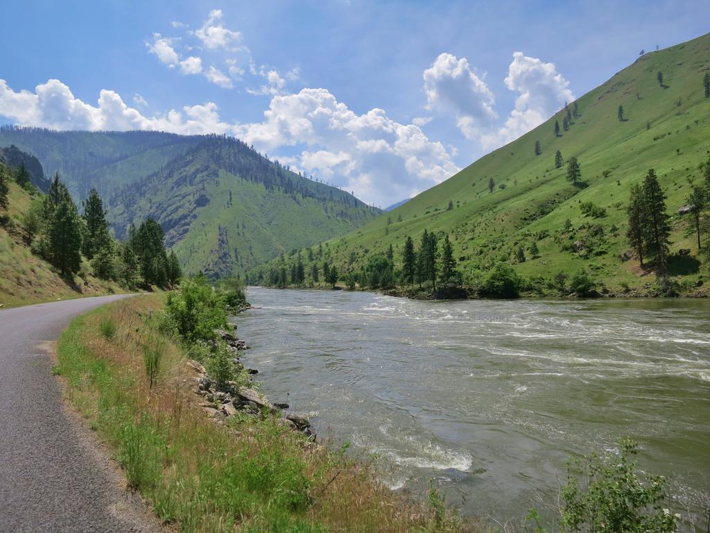
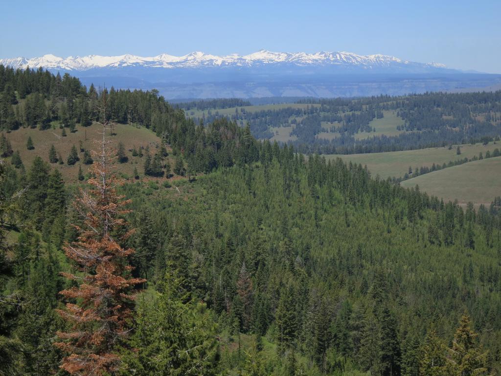
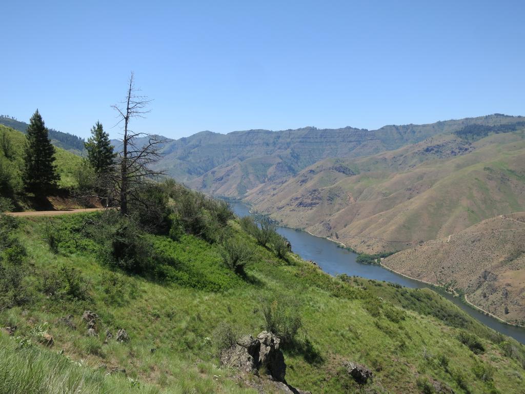
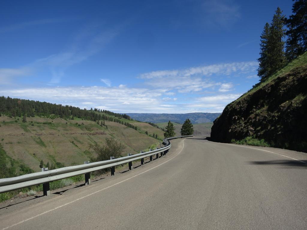
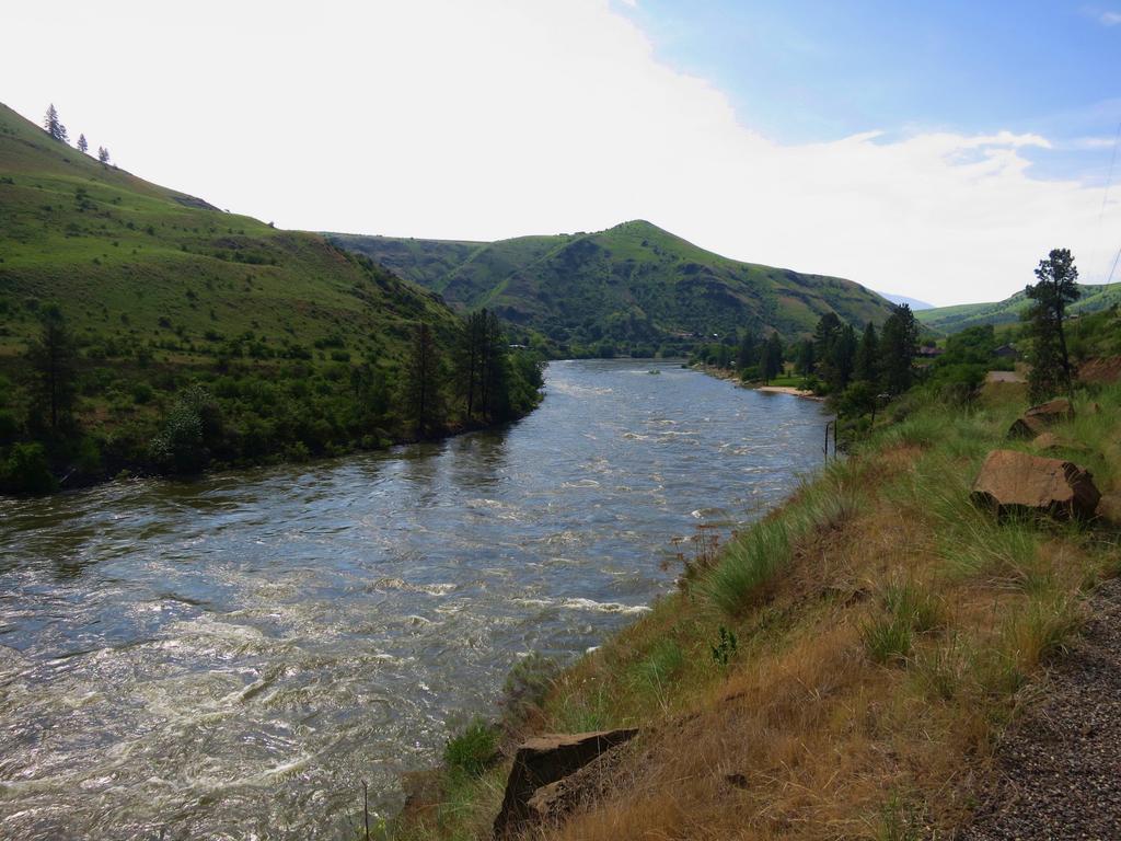
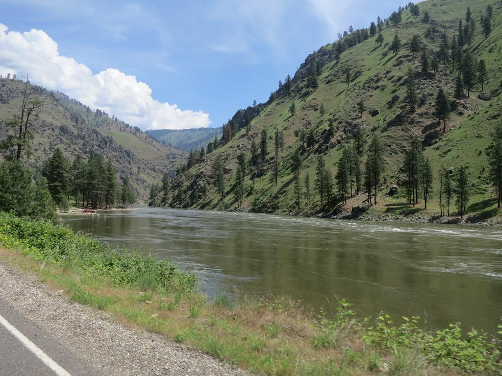
Lewiston sits at the confluence of the Snake and Clearwater Rivers. The Clearwater runs left to right in this photo taken from the Spiral Hwy.
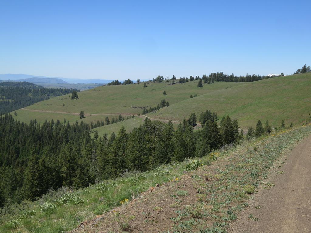
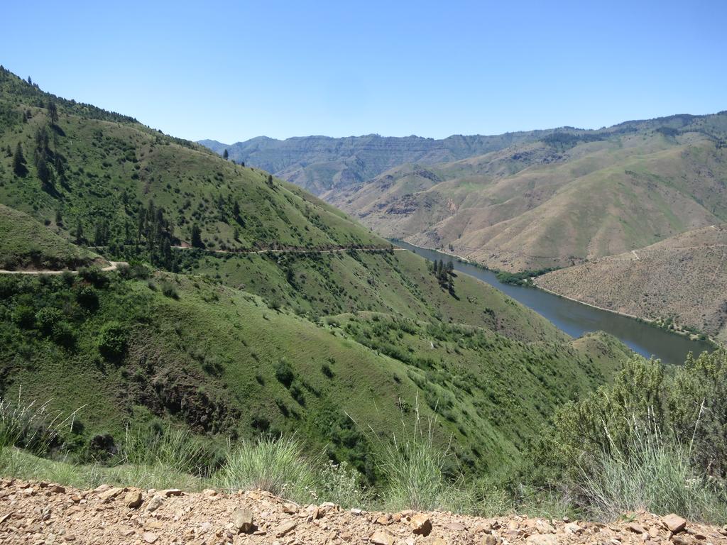
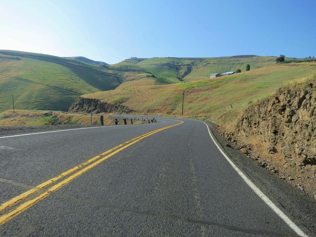
Then after taking the photo about I get to ride down the Spiral Hwy. Nice!
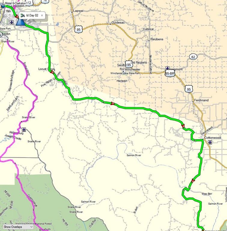
Here is the route south of Lewiston. Notice how it roughly parallels Hwy 95.
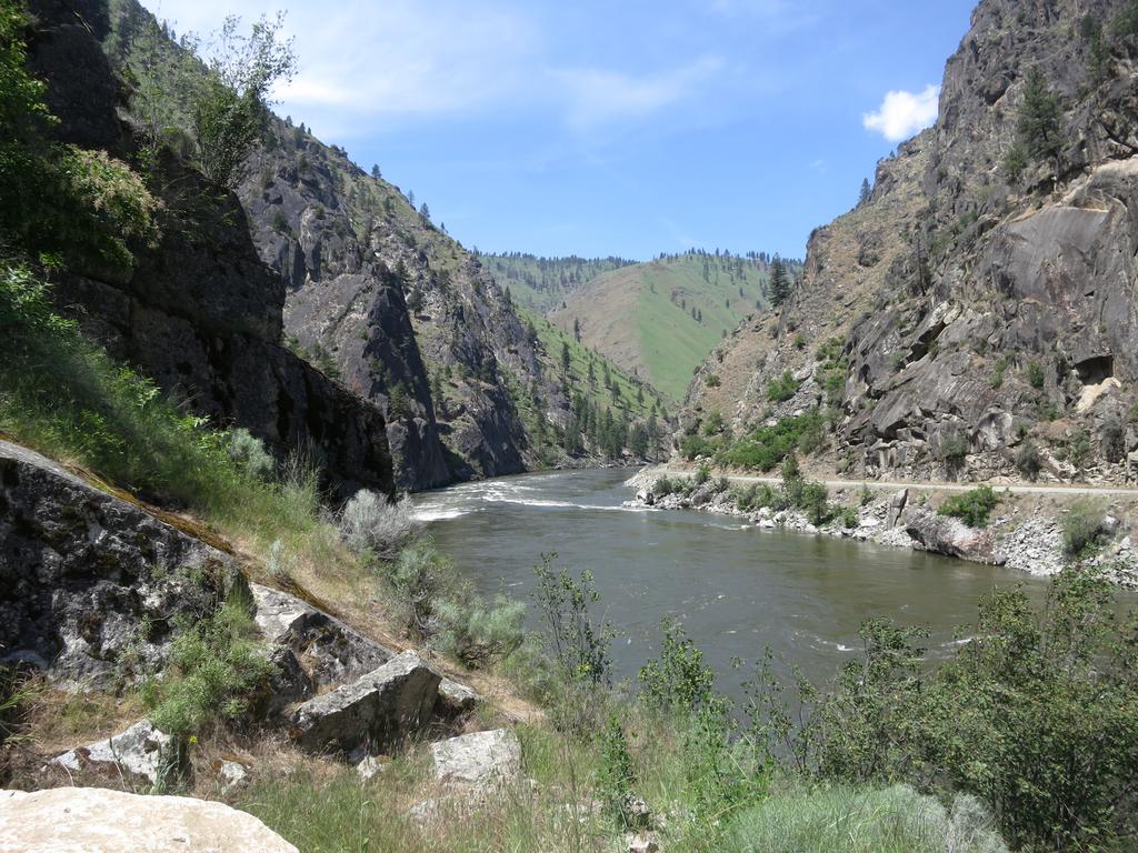
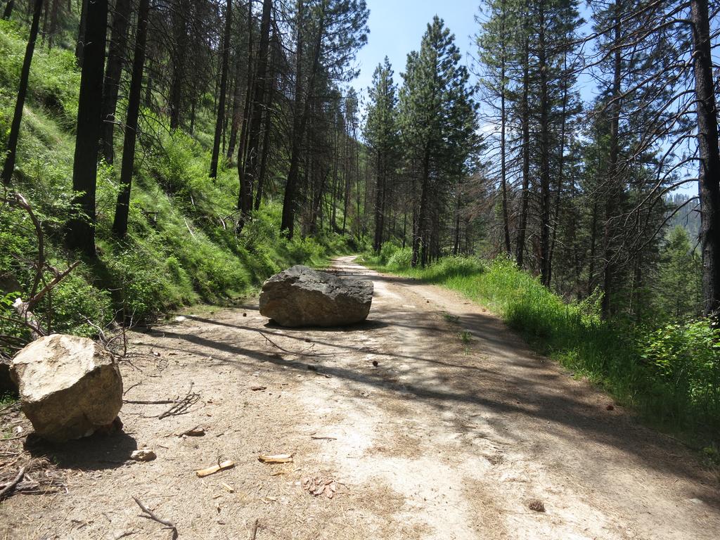
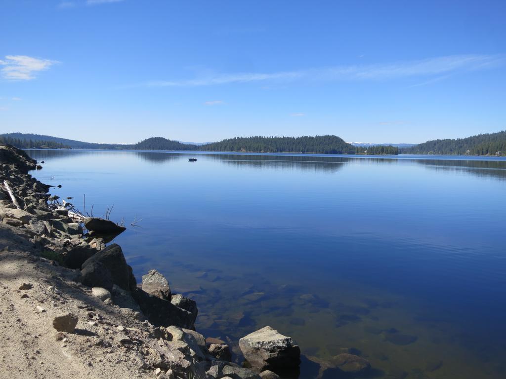
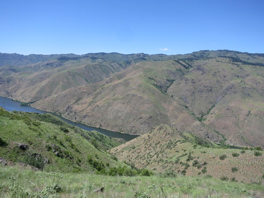
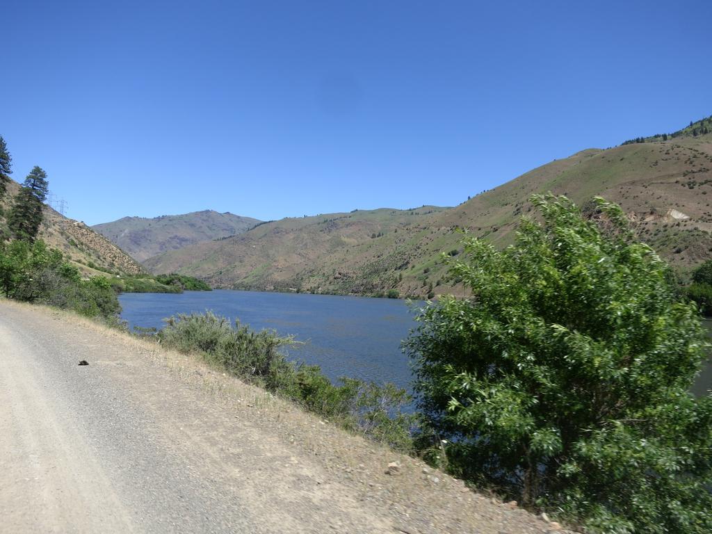
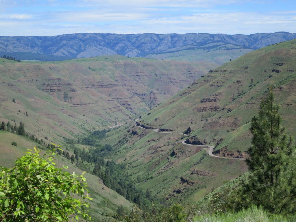
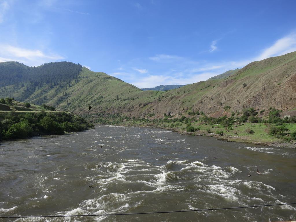
Near Pine Bar (see bottom) of map I cross the Salmon River and take a photo.
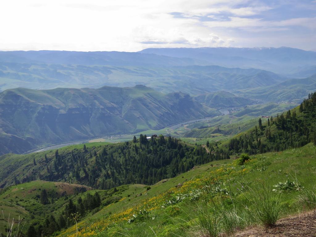
Then it is down Doumqecq Road and another view of the Salmon River.
At the bottom of the grade is the Salmon River.
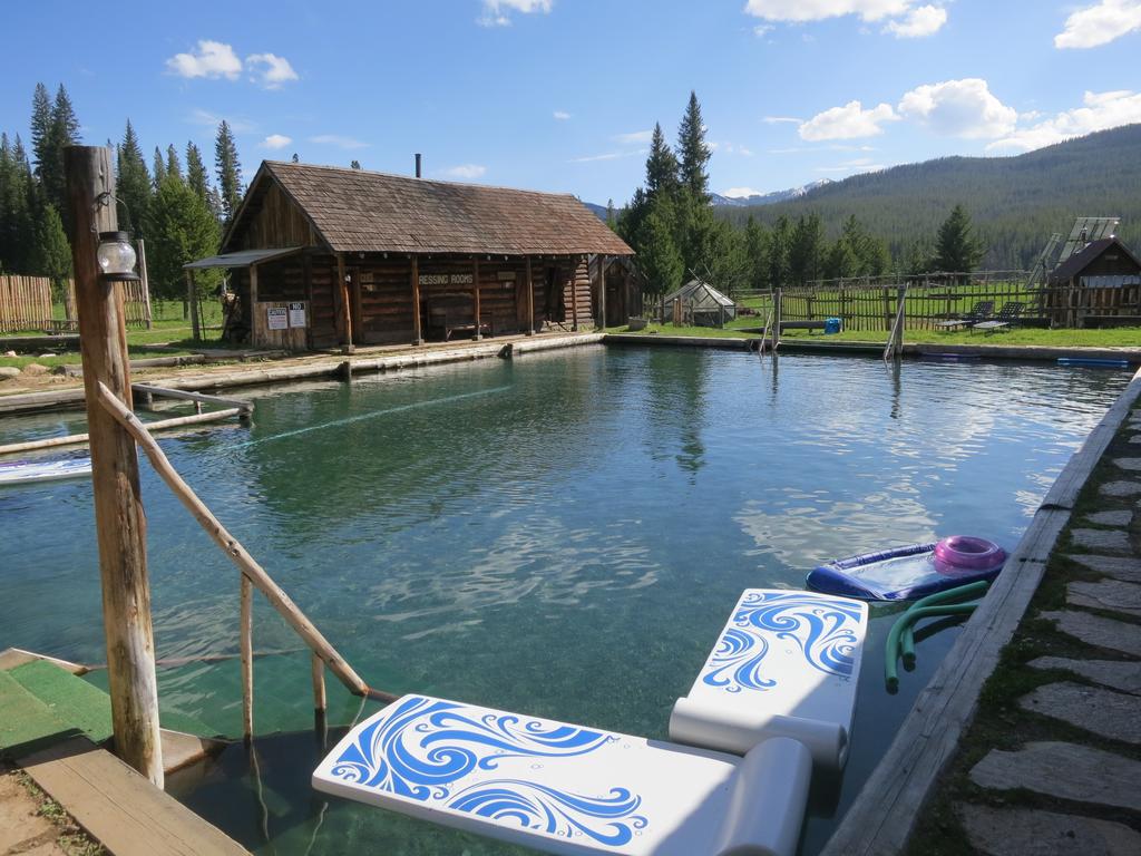
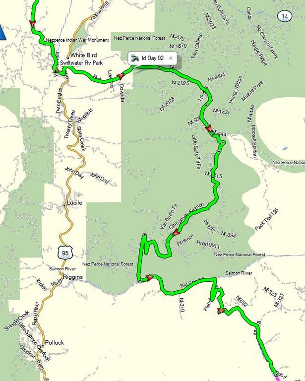
Here is the second half of the ride from Lewiston. The idea is to go east and ride down the Grangeville Salmon River road to you guessed it the Salmon River, then up French Creek Road to Burgdorff Hotsprings.. Notice I crossed Hwy 95 and continue the parallel route south.
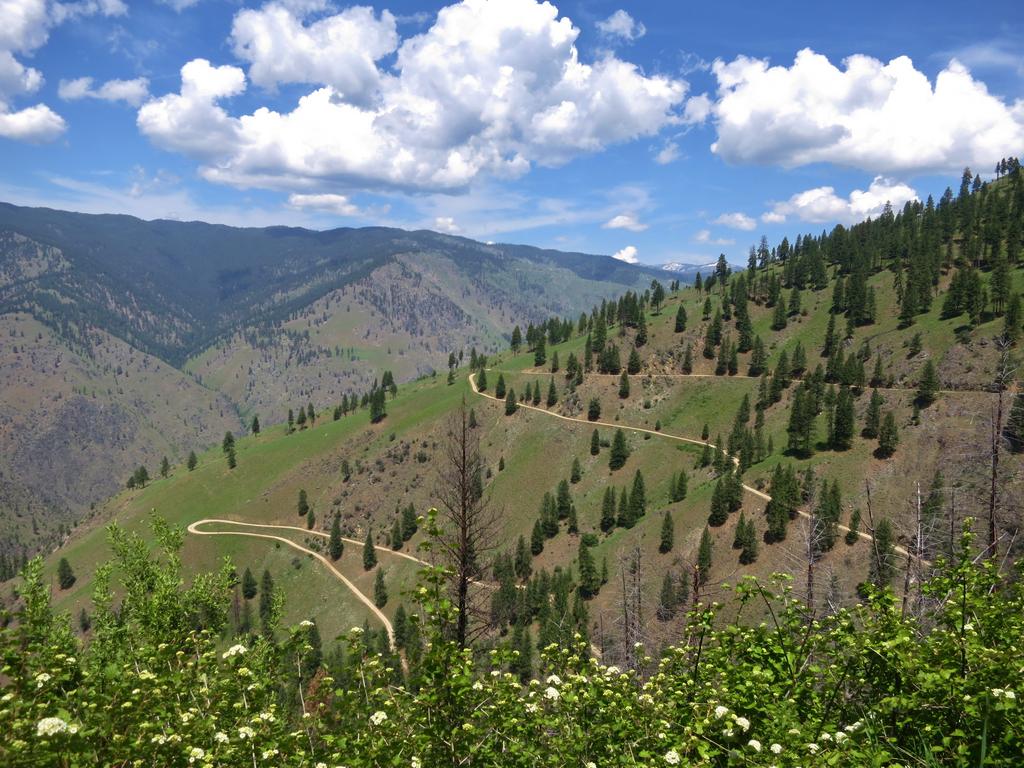
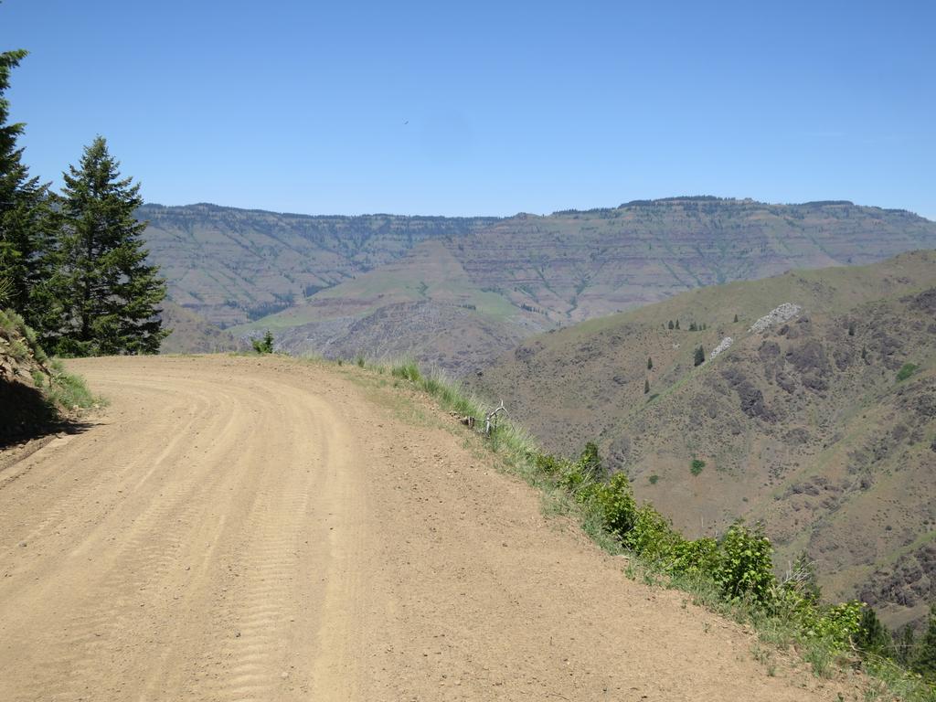
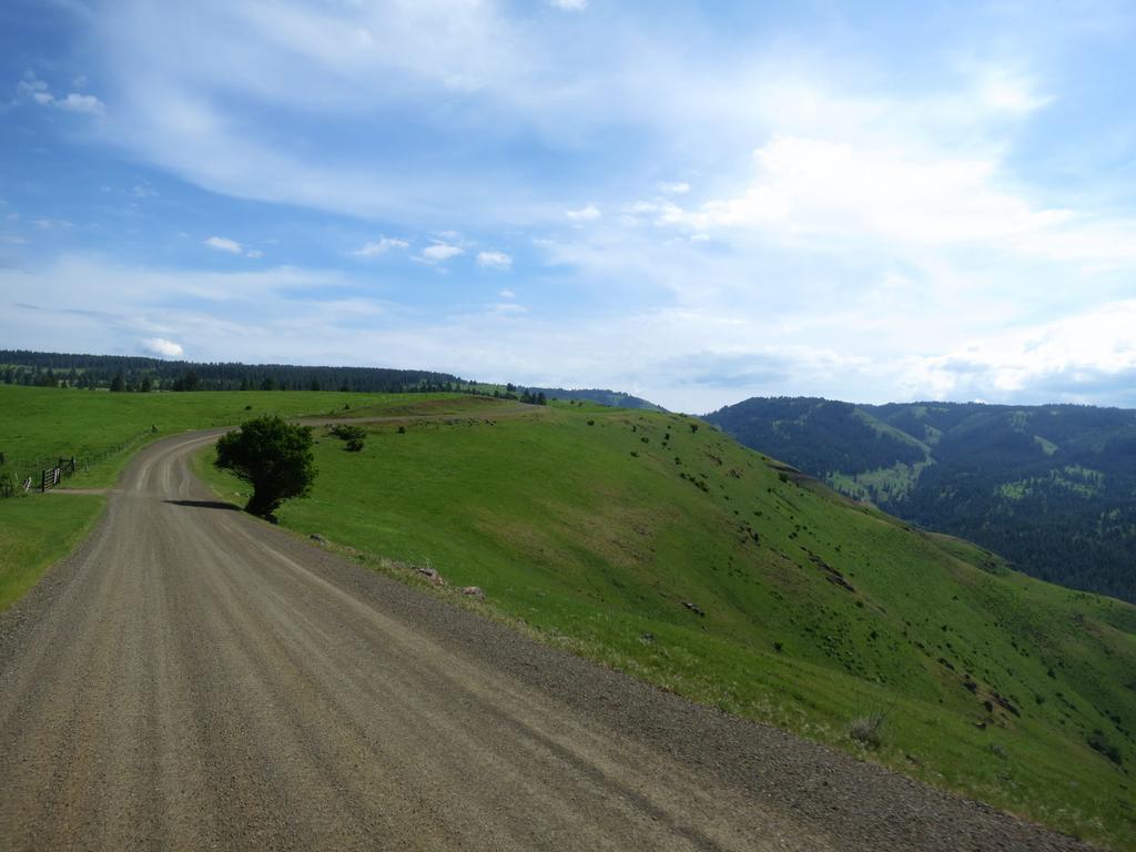
After getting gas in White Bird it is up Banner Ridge Road.
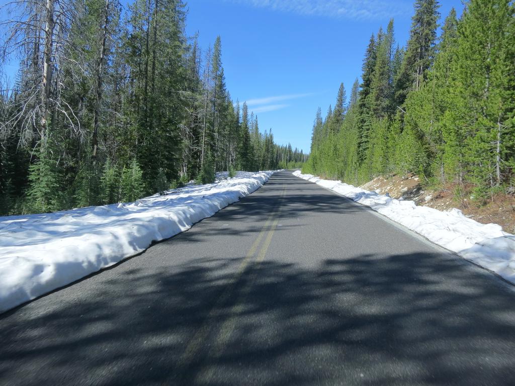
And a view of snow capped mountains.
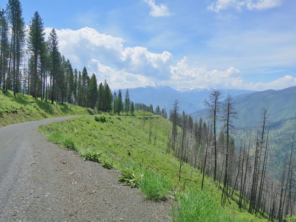
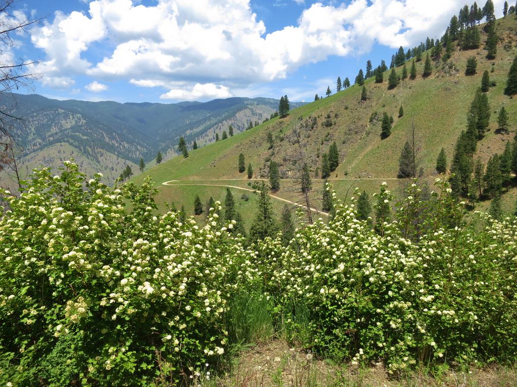
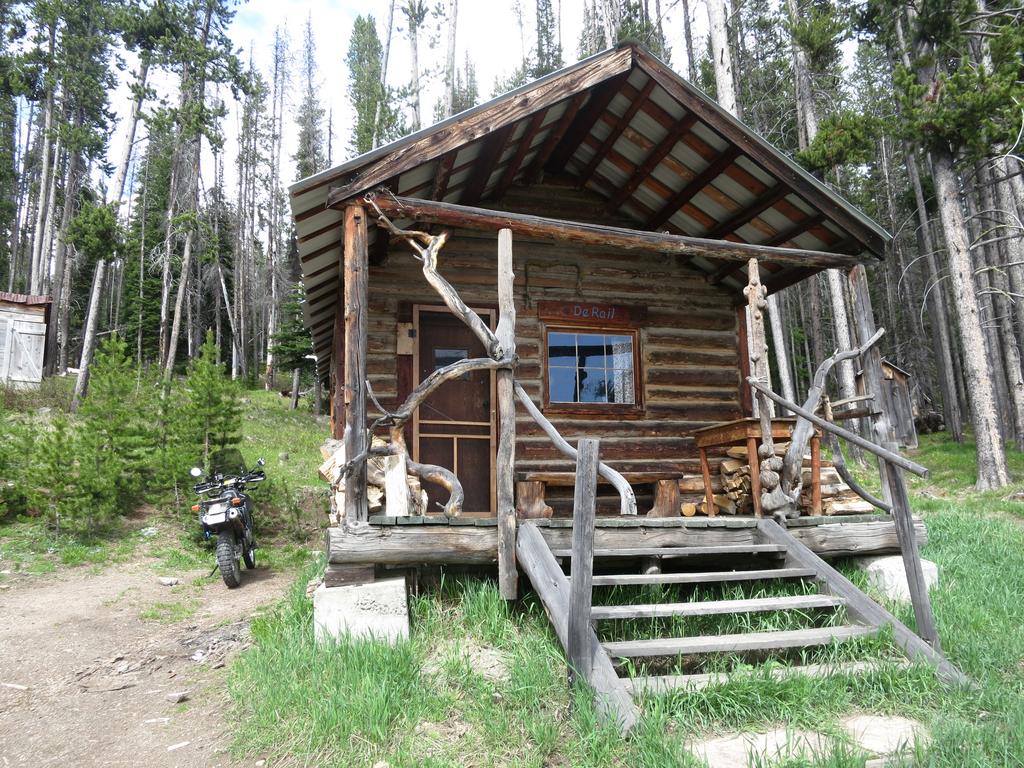
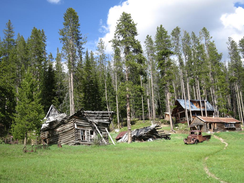
This was unexpected but I like the photo.
It is amazing how well the Garmin Zumo 590 follows the forest service roads. I have learned to have the GPS prompt me when off route. When this happens usually the Garmin map does not agree with the actual road location. Not to worry the two lines on the screen converge eventually. Another trick I learned is to select two way points ahead and let the GPS route to that - that one works great.
I found my way to the Salmon River.
More to come.
Go south I say to myself and ride some favorite roads in NE Oregon on the FJR. I whip out a Come Ride With Us! map I had collected a few years ago while riding in NE Oregon. These maps are available at motorcycle friendly businesses throughout NE Oregon. The maps include gravel and paved roads and there was a loop around Hells Canyon National Recreation Area on mostly gravel roads. The maps fail to include gravel road names so I create routes using Basecamp.
I like the idea of riding sticking to gravel roads as much as possible because I have been around Hells Canyon many times on the paved roads so this was something different and the reason I bought the DR650.
This ride will start and end in Lewiston Idaho cause that is were the loop begins.
Lewiston sits at the confluence of the Snake and Clearwater Rivers. The Clearwater runs left to right in this photo taken from the Spiral Hwy.
Then after taking the photo about I get to ride down the Spiral Hwy. Nice!
Here is the route south of Lewiston. Notice how it roughly parallels Hwy 95.
Near Pine Bar (see bottom) of map I cross the Salmon River and take a photo.
Then it is down Doumqecq Road and another view of the Salmon River.
At the bottom of the grade is the Salmon River.
Here is the second half of the ride from Lewiston. The idea is to go east and ride down the Grangeville Salmon River road to you guessed it the Salmon River, then up French Creek Road to Burgdorff Hotsprings.. Notice I crossed Hwy 95 and continue the parallel route south.
After getting gas in White Bird it is up Banner Ridge Road.
And a view of snow capped mountains.
This was unexpected but I like the photo.
It is amazing how well the Garmin Zumo 590 follows the forest service roads. I have learned to have the GPS prompt me when off route. When this happens usually the Garmin map does not agree with the actual road location. Not to worry the two lines on the screen converge eventually. Another trick I learned is to select two way points ahead and let the GPS route to that - that one works great.
I found my way to the Salmon River.
More to come.