12 days, 9 states and 14,000 ft

Yamaha FJR Motorcycle Forum

Help Support Yamaha FJR Motorcycle Forum:

This site may earn a commission from merchant affiliate links, including eBay, Amazon, and others.

sapest

Well-known member
Joined
Aug 24, 2012
Messages
621
Reaction score
517
Location
Vancouver BC Canada
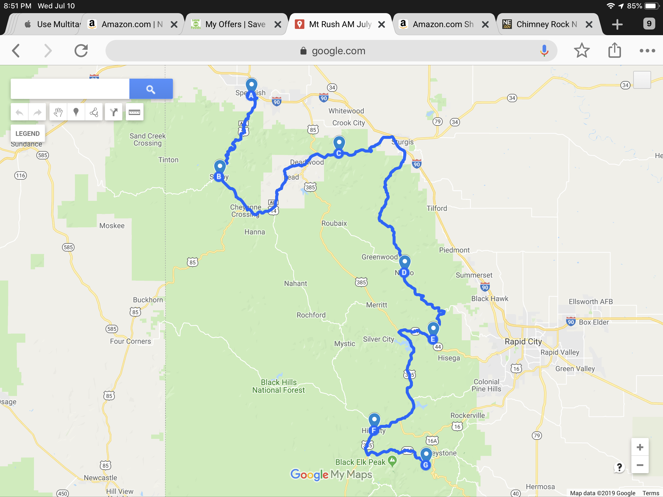
(Not inspired by IBR)

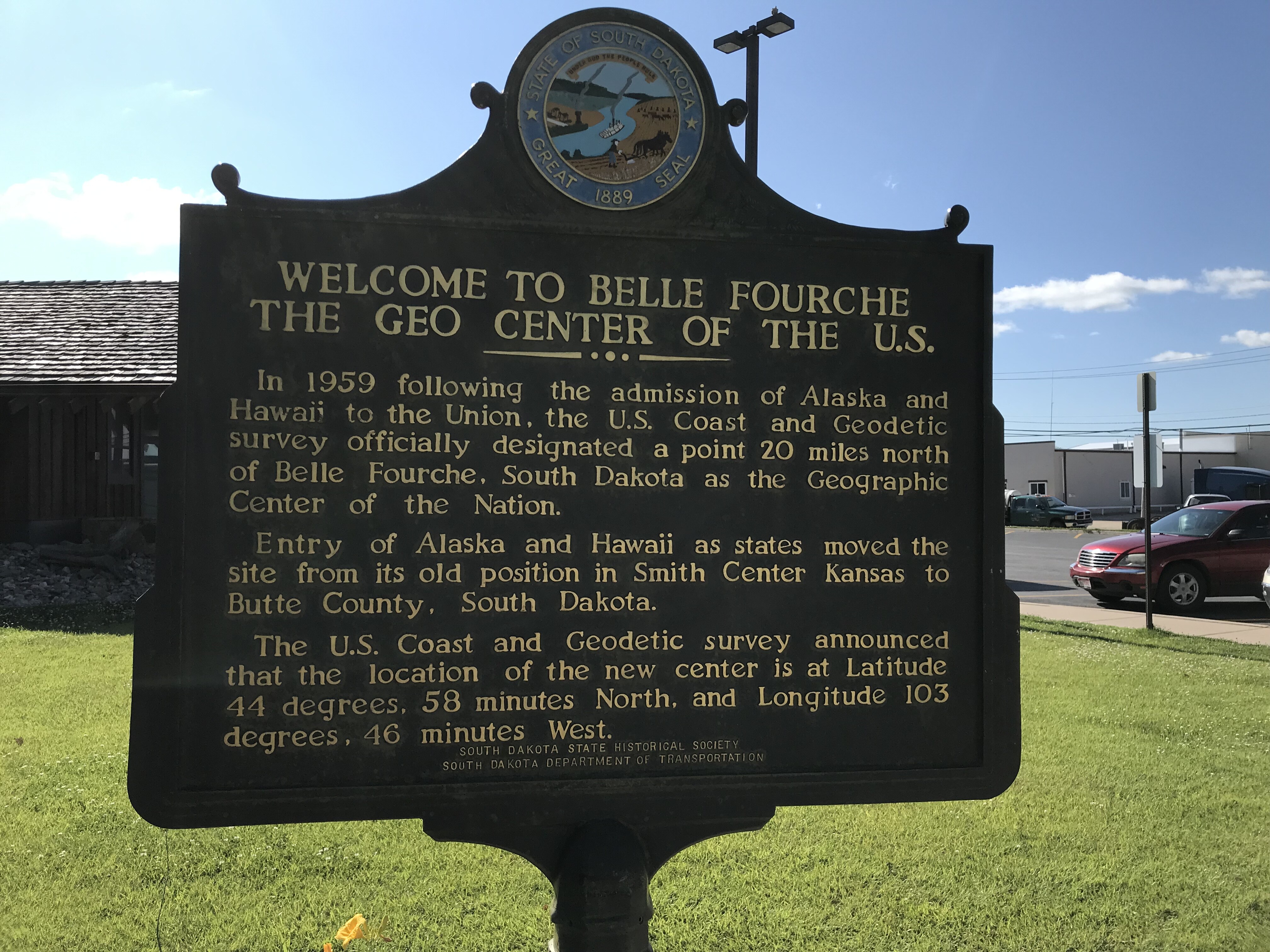
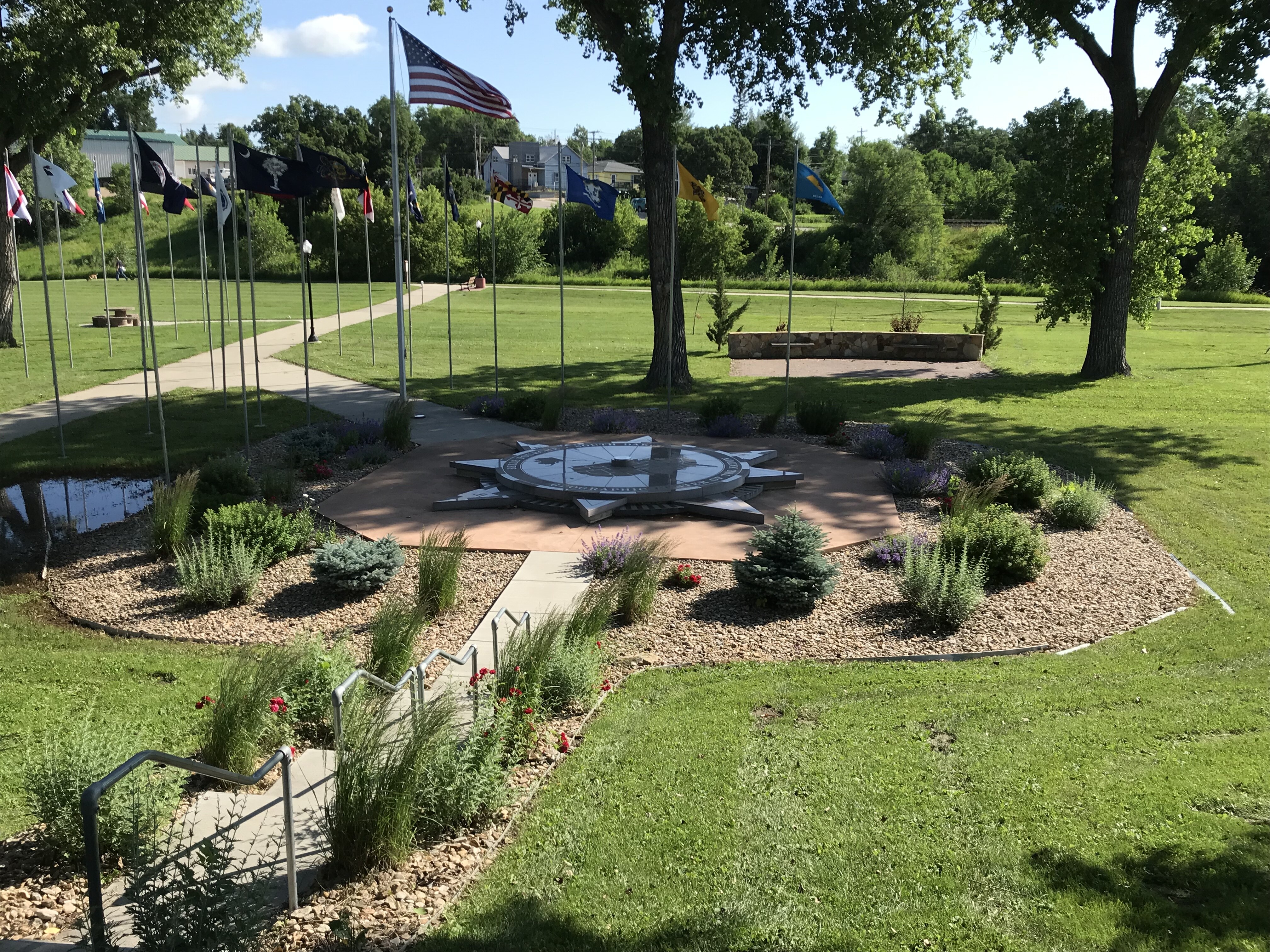
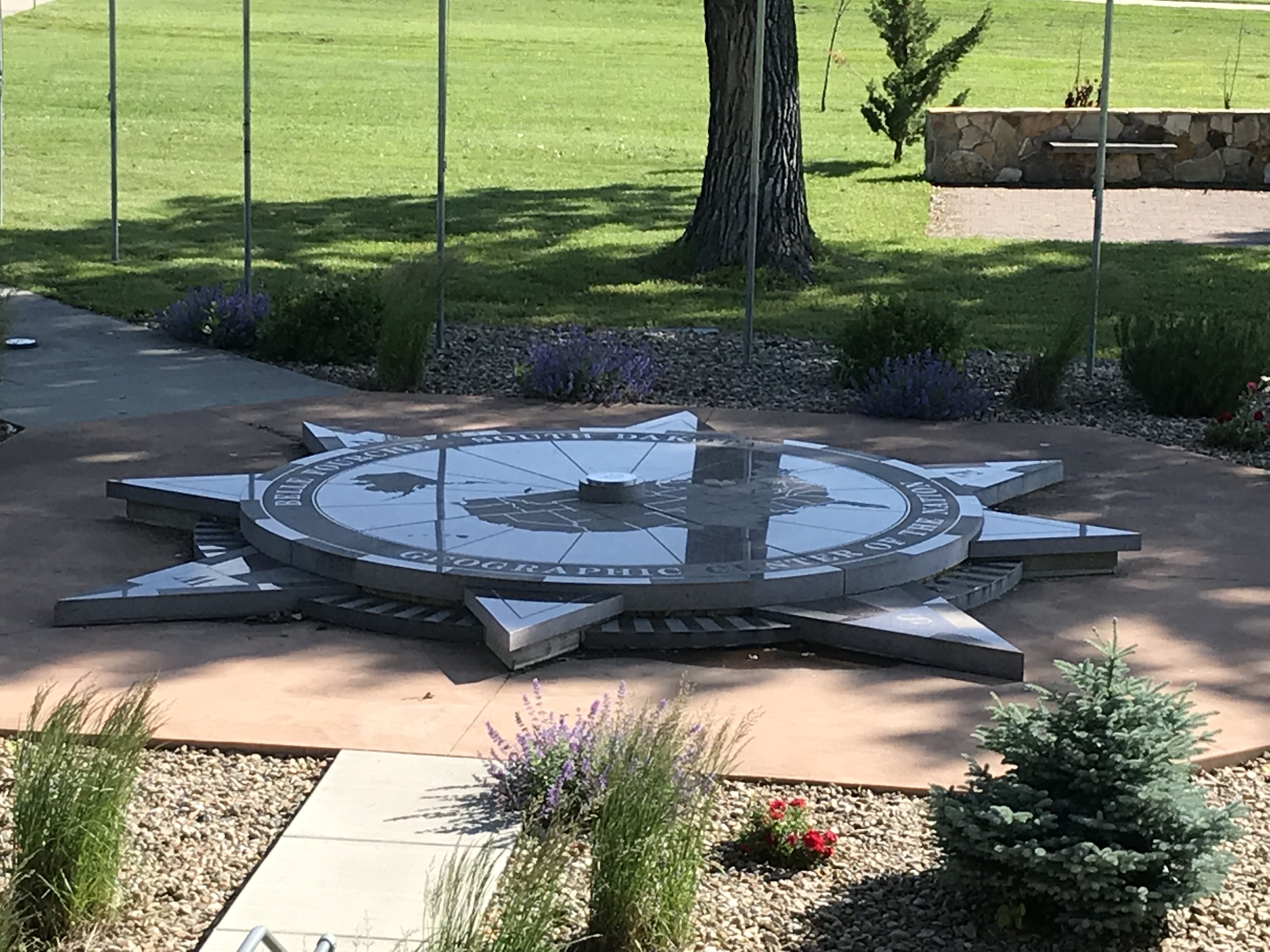
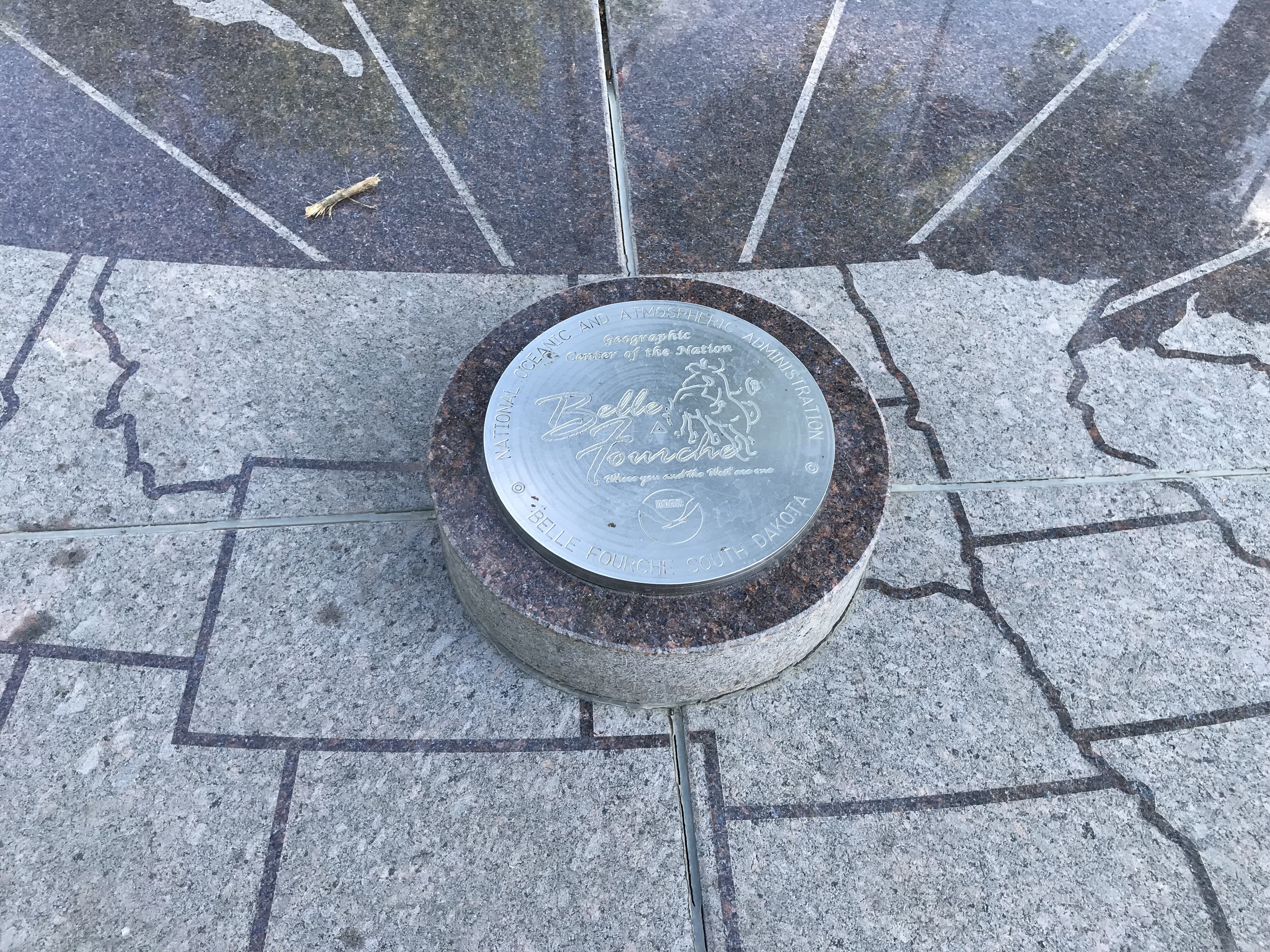
My riding buddy invited me on a ride to Belle Fourche (geographic center of the 50 states) last winter.

I told him I would be happy to join him if we could ride to Mt Evans as well.

Here we go.

Day 1

Leaving Bellingham WA, headed for Spokane. (My buddys sisters house)

In the first 35 minutes, spotted 6 LEOs all with customers. Leaving I5 for Hiway 2, with lunch in Leavenworth.

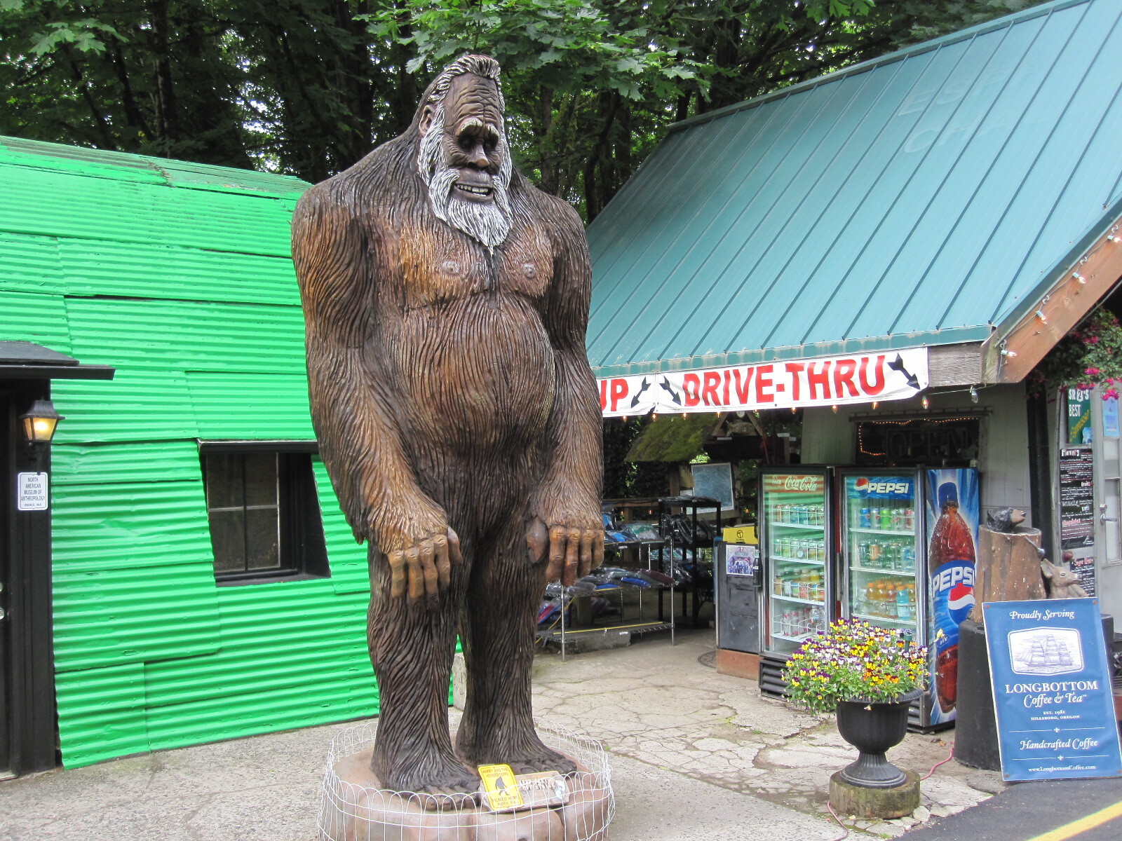
In Index, before Leavenworth, we spotted Bigfoot.

79pk9g.jpg


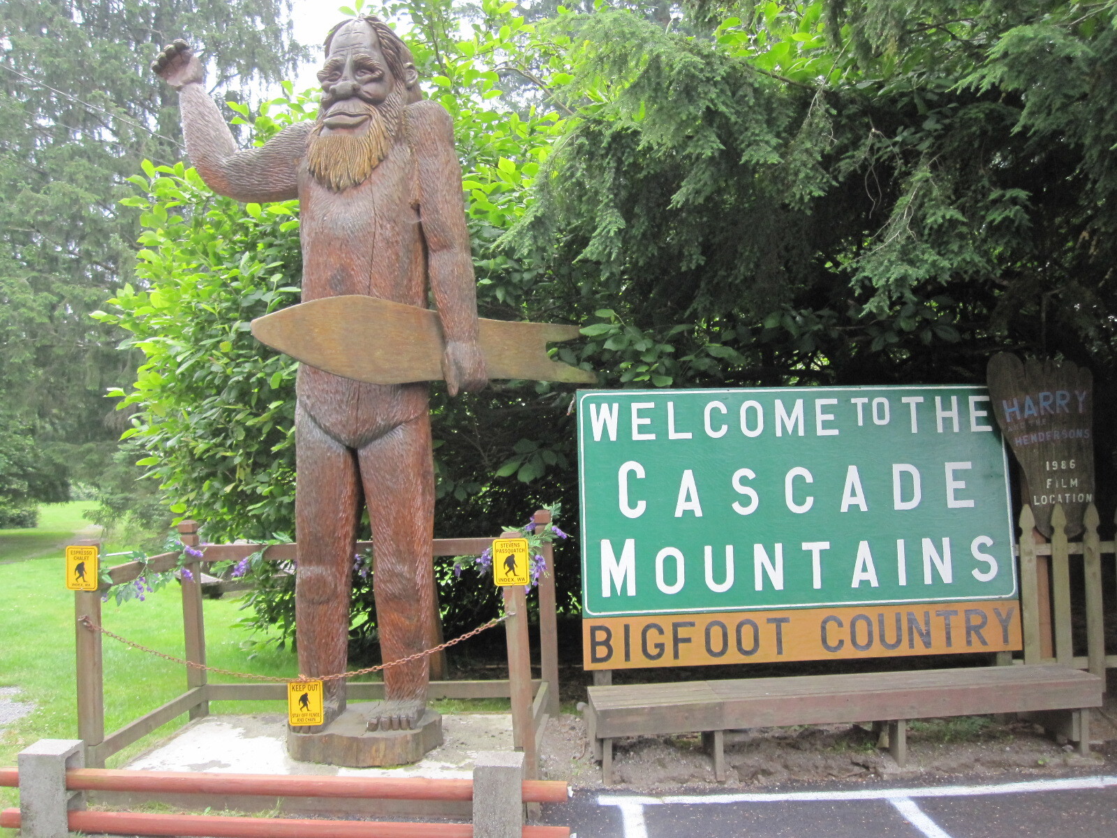
This is V1.2, the original had a raccoon, not a snowboard.

OD1Qnx.jpg


V2.0, the new Bigfoot.

Just past Skykomish, we turned north off 2 onto the Old Cascade Hiway. It rejoins 2 around Scenic. Recommended!

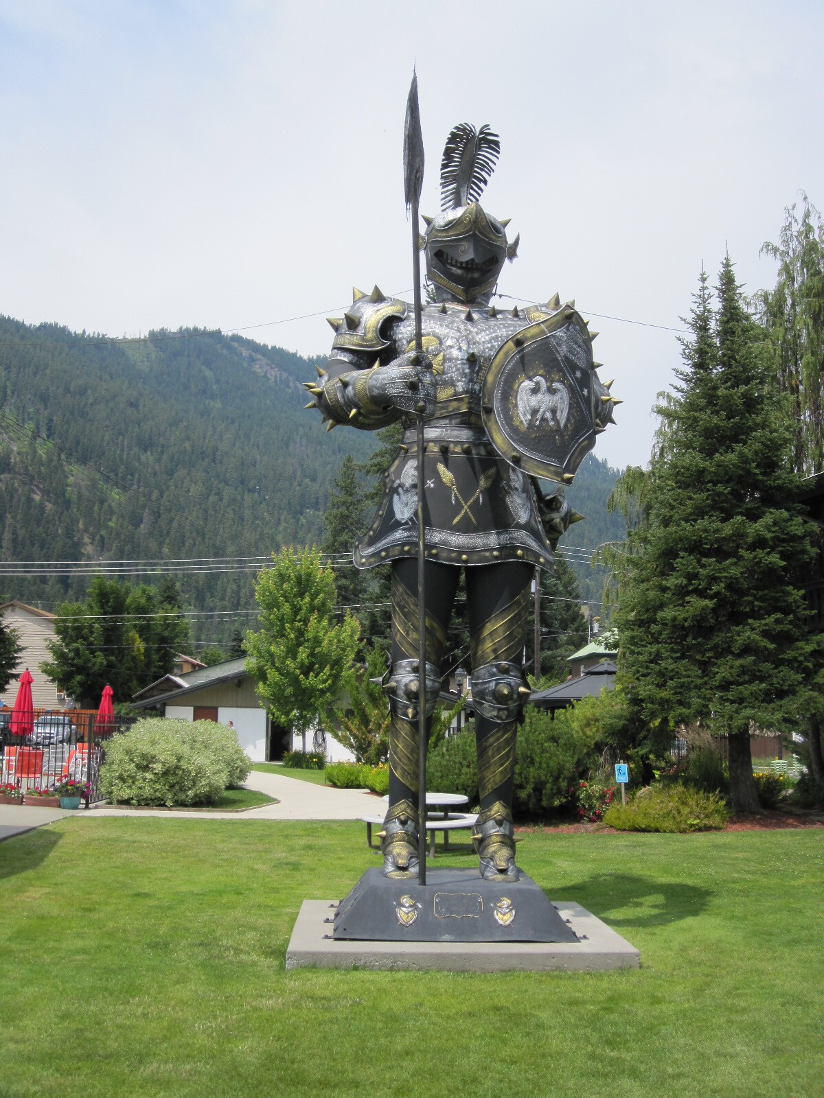
In Leavenworth, the Giant Suit of Armor.

snTHjZ.jpg


Around Wilbur, its wheat fields and empty roads.

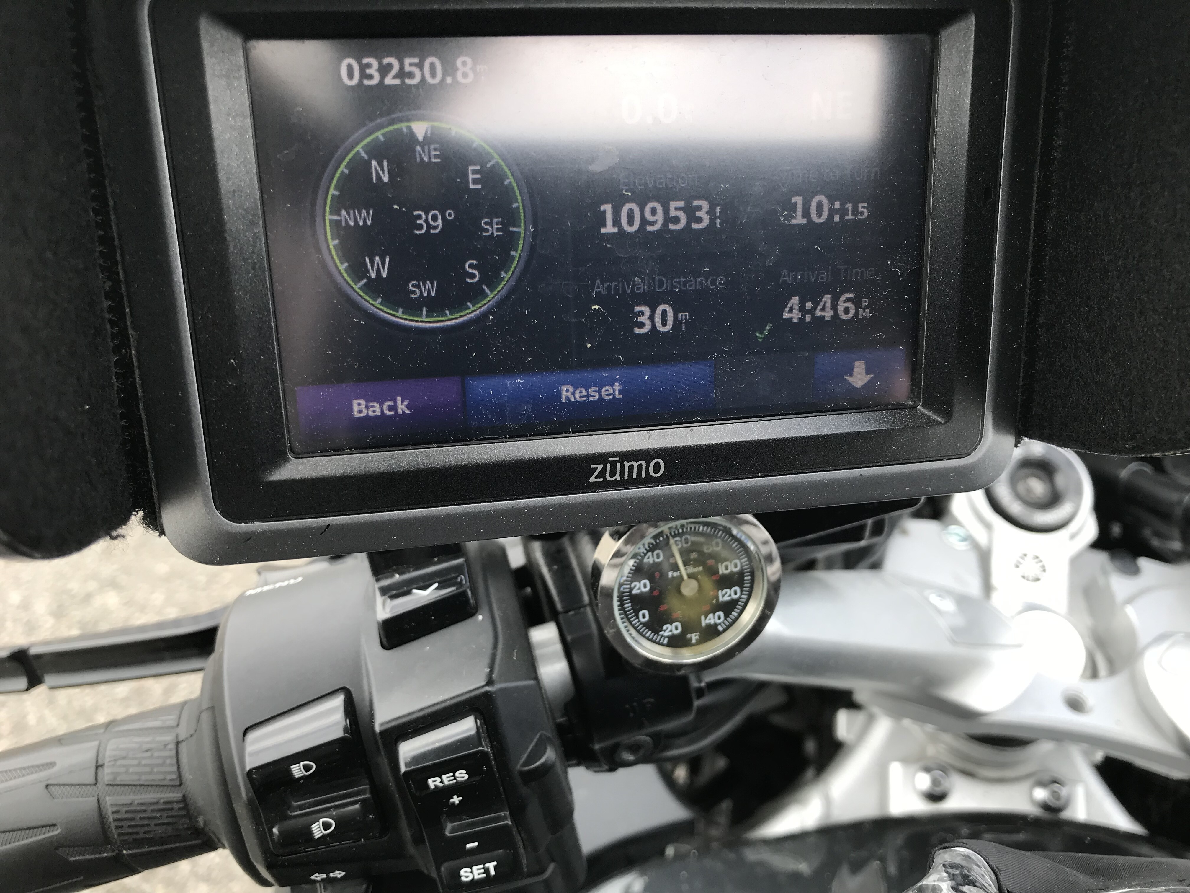
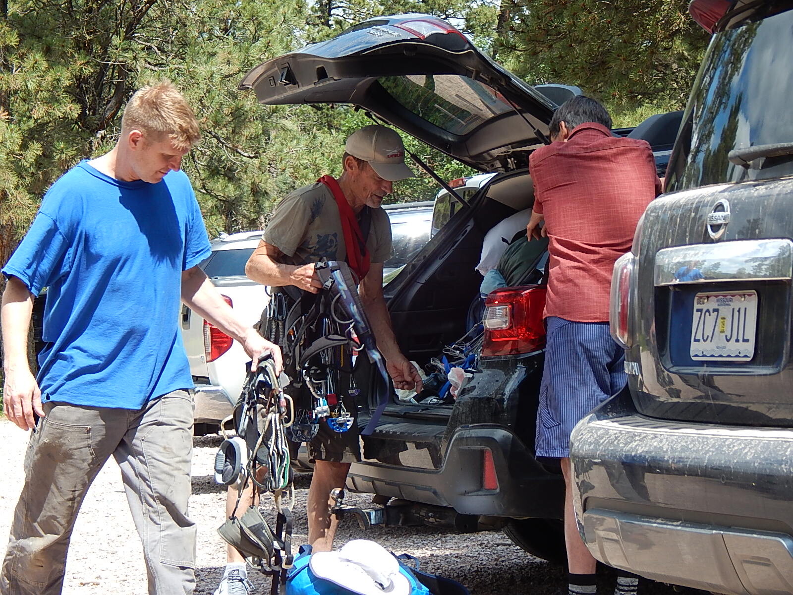
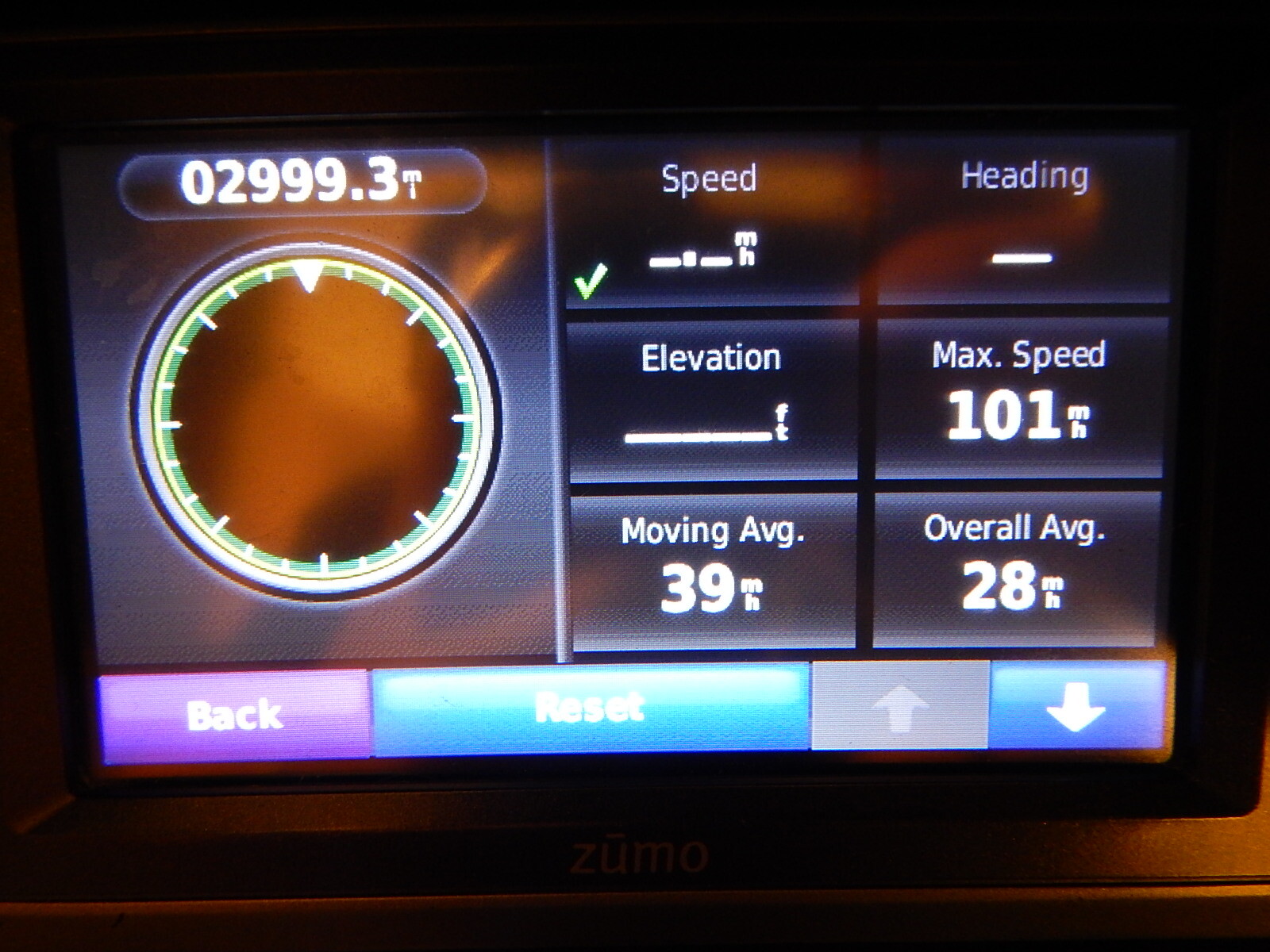
Got some right wrist exercise

oCAj1v.jpg


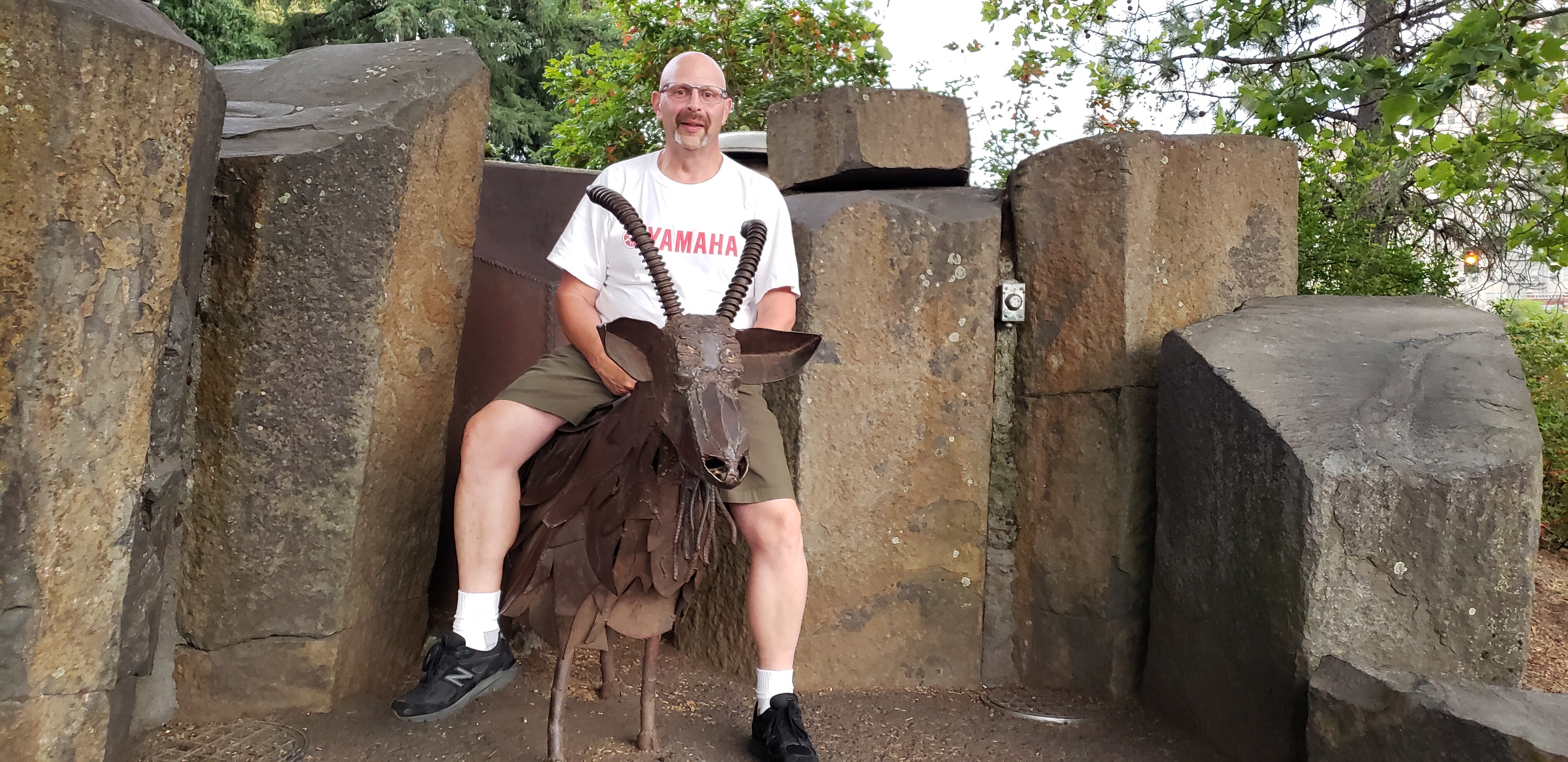
In Spokane, found the Garbage Goat.

TXuti6.jpg


Day 2 to Butte MT

3 states today.

Great morning, good weather, and Kingston ID to Thompson Falls MT

KjL2Ni.png


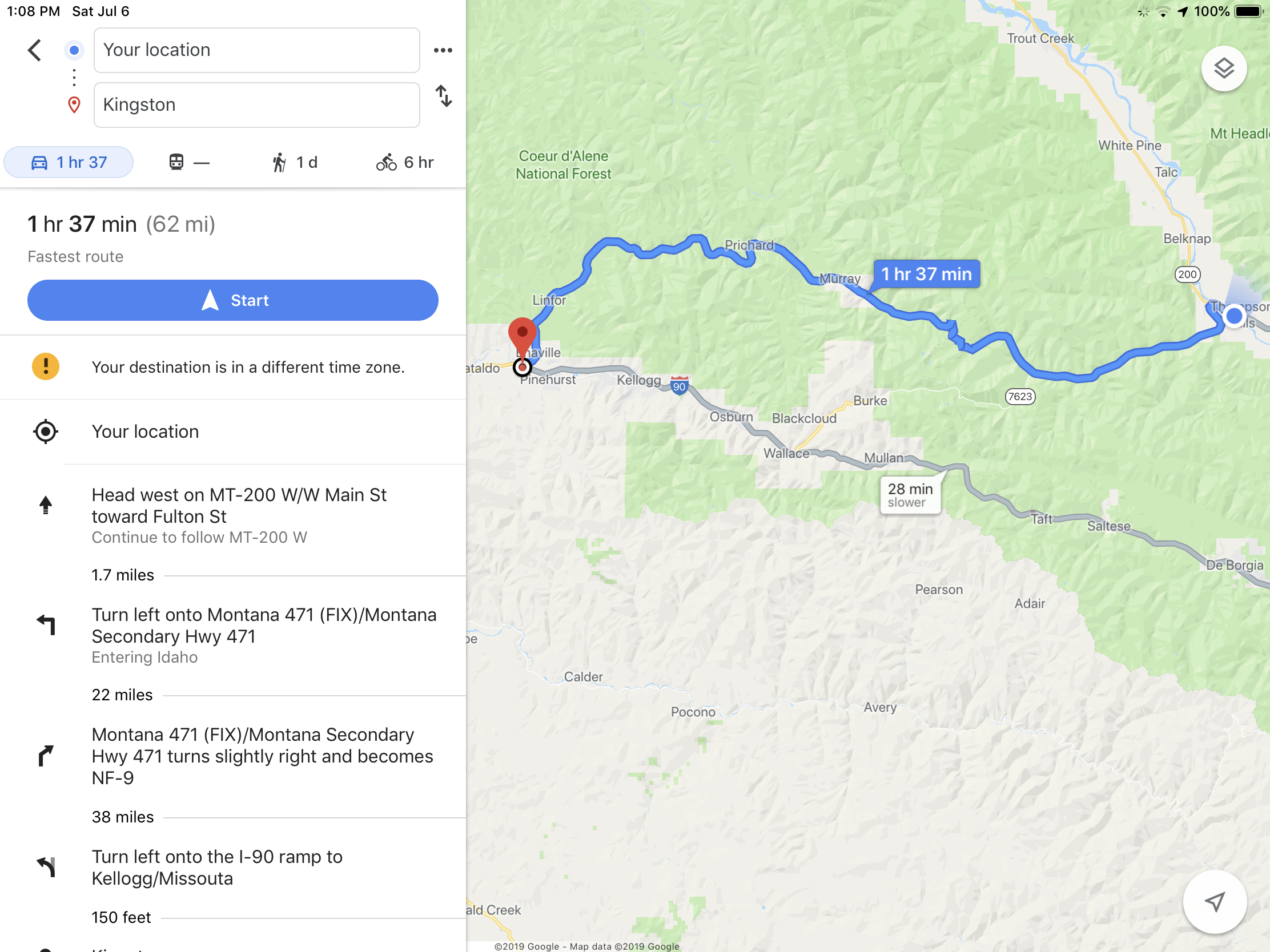
62 miles of goodness.

Coeur DAlene River Rd to Prichard Creek Rd to Thompson Pass Rd.

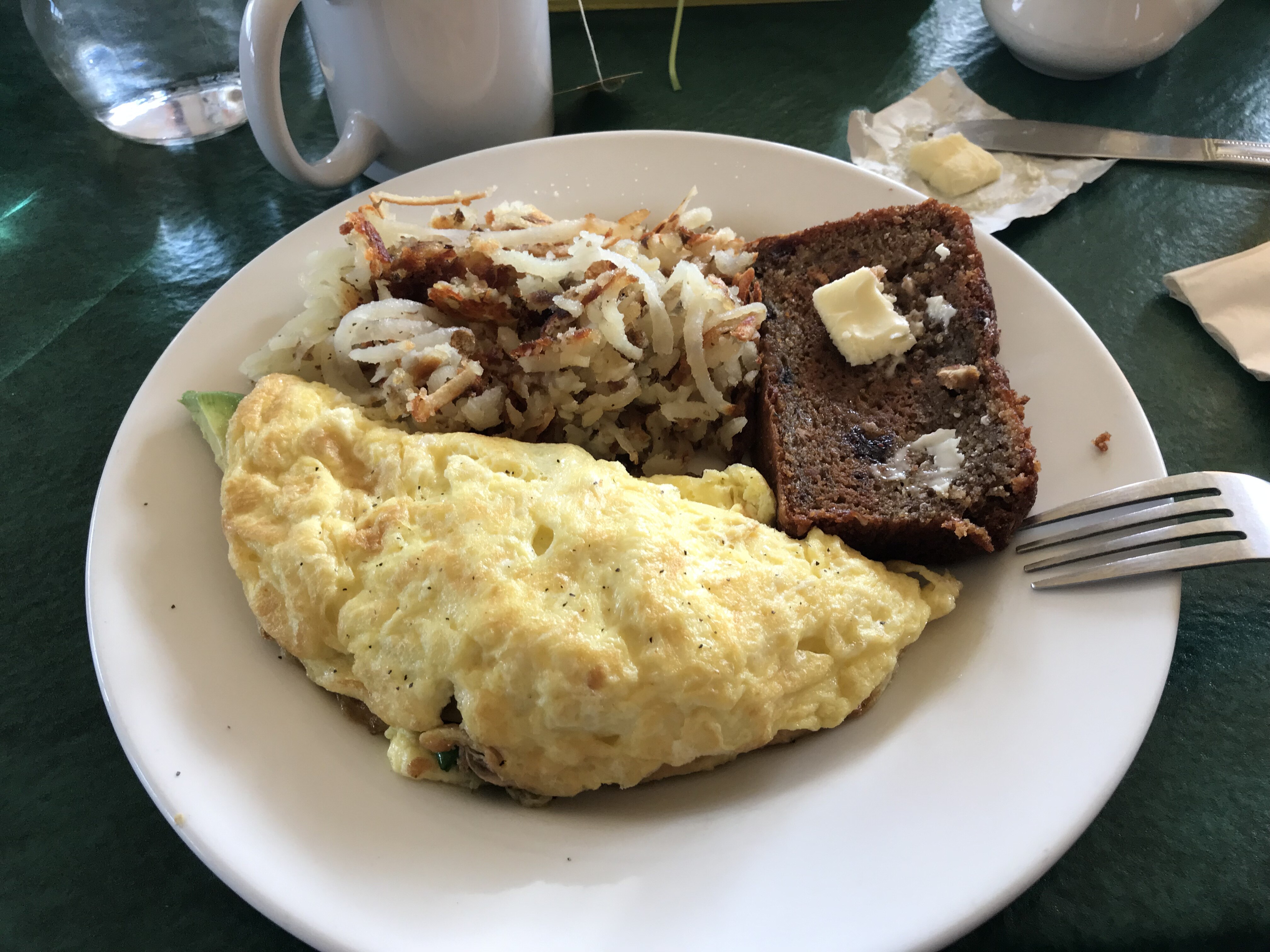
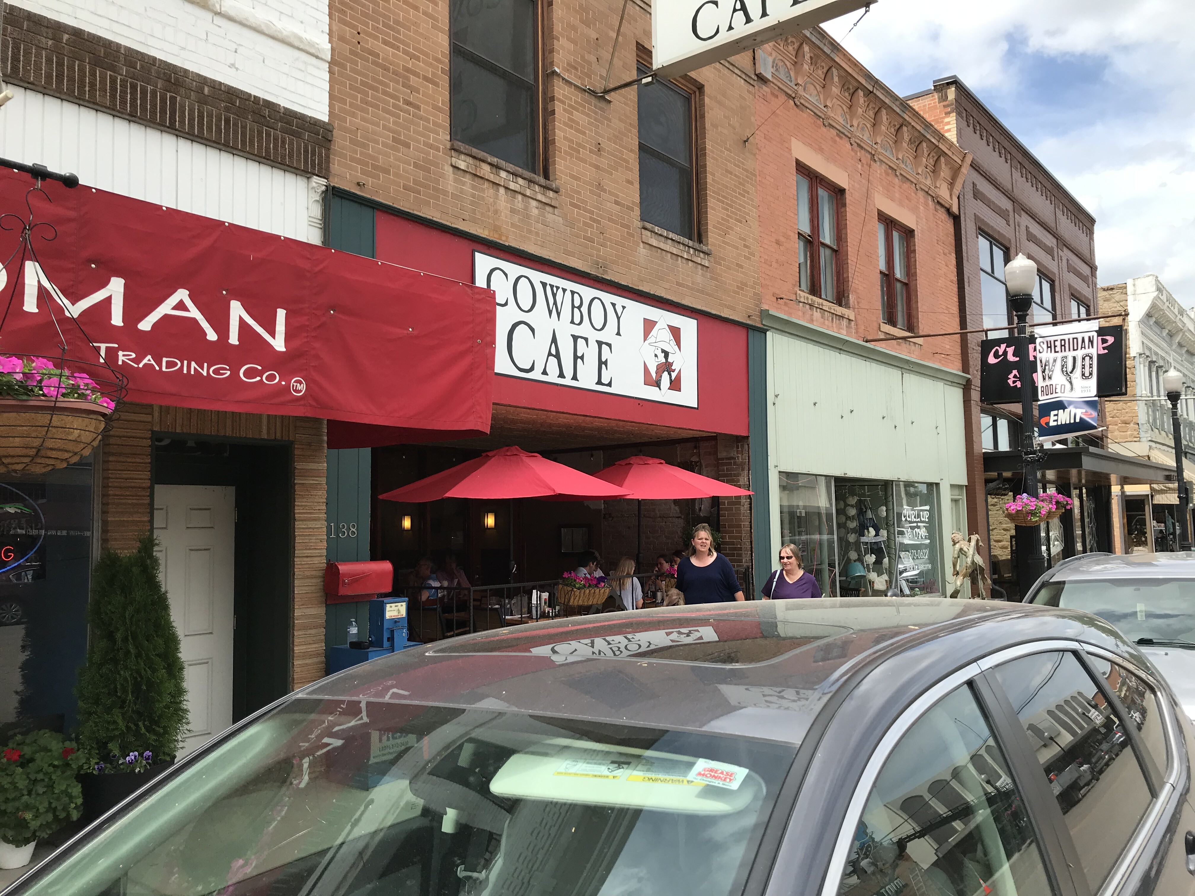
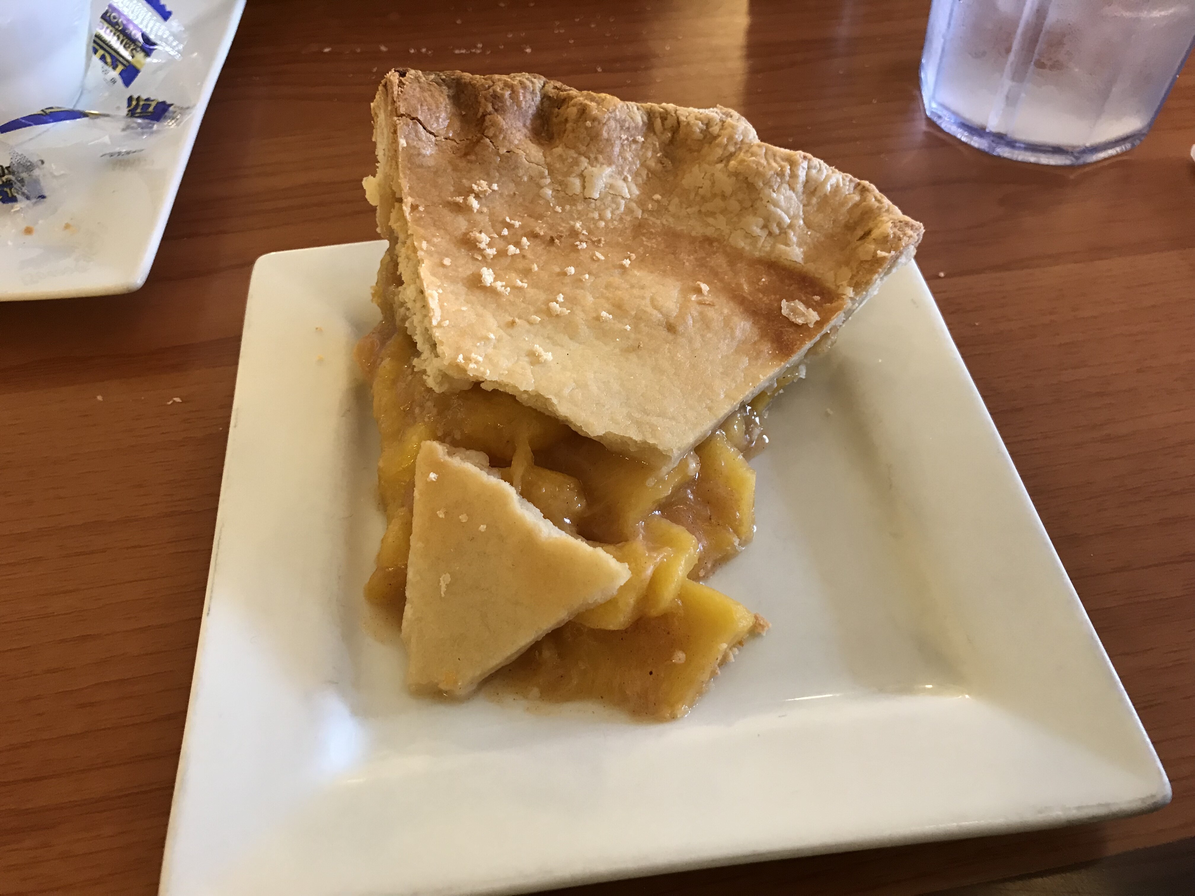
In Thompson Falls, lunch at Minnies Cafe and Fly Shop

0pMLCb.jpg


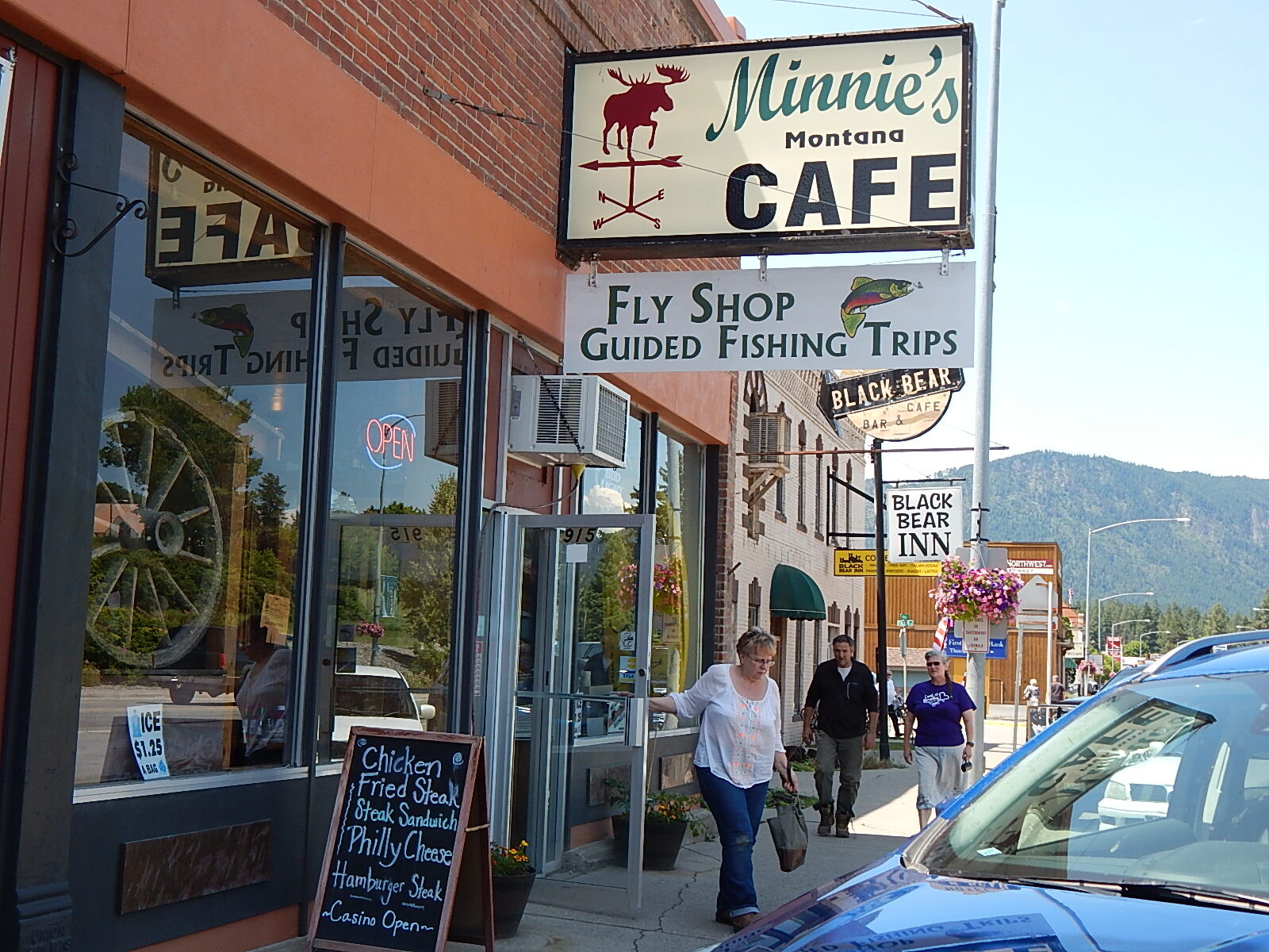
Chicken Fried Steak and a Woolly Bugger!

The afternoon was a really wet ride into Butte. With 20 mph crosswinds. What else can I say.

Stay tuned for more.

-Steve

 
Last edited by a moderator:
A Garmin observation -

For some reason my 665 has been receiving the Garmin weather service for some time now. Im not paying for it.

We were in some pretty heavy weather yesterday, getting hit by some serious bands of rain, the kind where you can see the rear of the trailer, but cant see the tractor until you are right beside it.

I was watching the weather radar screen, which superimposes your position over the weather, and as we moved it was surprisingly accurate. And in real time.

-Steve

 
Day 3 to Red Lodge MT.

Today mother nature tried to kill us.

First she tried electrocution, a few miles out of Butte we rode into a thunderstorm with a lot of lightning.

Then she tried to drown us with a wonderfully wet rainstorm.

In Yellowstone, in the Lamar Valley, she tried to cook us with 85 ish temps behind a long line of RVs.

And when none of that worked, in Silver Gate she tried rain AND hail to finish us off.

rnlOgb.jpg


Some of that killer weather.

Beartooth Hiway/Pass the highlight of the day, of course.

Before that, lunch was in Gardiner MT at the Corral Drive In.

yoWzbn.jpg


I had the elk burger & fries

aRrzBq.jpg


Oh, wait a minute .. .. ..

Entered Yellowstone at the North Entrance. Saw 4 FJRs within about an hour, around 1-2 pm. Was that you?

Got to Beartooth Summit

DiJhtm.jpg


It was about 52F.

9xCrTa.jpg


How windy was it? The wind was blowing so hard that I couldnt get the kickstand down. I had to wait until the wind died down a bit before I was able to hold the bike upright while putting down the kickstand. If that was a 25 mph wind, then the wind chill would put the temp at about 45F.

What I never thought about was the lightheadedness I felt as we left the Beartooth Summit. Those first two hairpins were quite a challenge.

Hopefully Mother Nature will find another target tomorrow.

-Steve

 
Sidebar

Doh -

Sometime on Sat I noticed I was having trouble keeping up with my riding buddys H-D. WTF?

Im thinking bad gas, clogged fuel filter/line or something with smoke inside got wet. Sunday was the same.

This morning I realized I have been staring at a capital T for two days. Dumbass!

Falling in love again -

I forgot how much the FJR likes to eat up road at 80 mph. All day, every day. The last two days of 70-75-80 posted limits have been just wonderful when it was dry. (Even in Tour mode you dumbass)

-Steve

 
Before that, lunch was in Gardiner MT at the Corral Drive In.

Been there! Keep going and posting mi amigo!

 
Day 4 to Spearfish.

Three fashion by Cabelas states today. (MT/WY/SD)

Hey Wyoming, whats with the pinky/red roadbed? And the Buckle Up signs, its not 1968!

Breakfast at Cafe Regis.

Be sure you get the fruit bread. I had mine with a spinach omelette, the spinach is grown in their own garden. Find this place if you are Red Lodge, its behind the main drag across from the new school.

4INFmb.jpg


Today was all about making miles to Spearfish, (about 400), our stop of interest was the Custer Memorial.

The bitch tried to get us again in the afternoon, but it didnt work out for her.

EeILCp.png


(The greeny/red/orange blobs chased us all afternoon. Thank goodness for 80 MPH speed limits.)

Lunch at the Cowboy Cafe in Sheridan WY.

T0whDY.jpg


Peach Pie and soup.

8MWT1l.jpg


They were out of ice cream.

The memorial is an interesting place. Even if you only have a vague notion of what happened, or know the Hollywood version; you can see history here. Its right in front of you.

XyzlqM.jpg


Trooper Cemetery

DJdCEL.jpg


The engraved Memorial.

UFYrpO.jpg


BnWuQT.jpg


gjAUHS.jpg


Last Stand Hill, looking in the direction of the last battle. The line of trees mark the Little Bighorn River, on the other side of the river was the Native American village, 5/6000, with 1500 ish fighting men.

zUswC4.jpg


Last Stand Hill, the black marker is Custers.

dwnShc.jpg


A part of the Native American Exhibit.

The next few days are in and out rides in the Spearfish area.

-Steve

 
Day 5

Todays route, thx to BigJohnSD.

g0BvoL.png


First up Belle Fourche

0oGNN1.jpg


e02vDo.jpg


5HuqlH.jpg


tMFFSM.jpg


Then the Stoneville Saloon, home of Topless Tuesdays

RTHies.jpg


It was closed when we arrived, not open till 11. If then. They have a coffin for photo ops.

On to Devils Tower

Saw a little peak of the peak about 25 miles away. Then some pine forests and hills, until -

Vja1jp.jpg


While waiting in line to enter the site.

5wb6Ws.jpg


Patriotic shot

wXFTfT.jpg


ENuTr6.jpg


Good luck buddy.

Devils Tower to Four Corners to Deadwood was a very nice ride. Thx again BigJohnSD.

HkLcID.jpg


We had lunch in Deadwood, and I played 6 hands of Blackjack.

91285j.jpg


Main Street is a construction zone.

Just about the time we finished lunch, the skies opened up.

ApJBrI.png


The bitch IS back.

Only about 15 miles back to Spearfish, went for the rain gear, which turned out to be the right choice. It just got wetter.

Drier day tomorrow!

-Steve

 
Day 6
Good stuff/bad stuff. No Rain!
This mornings route -
2gKIFf.png

14A Spearfish Canyon was a great wake up ride. Then back thru Deadwood construction and onto -
Sturgis. If I have to - I guess.
6u5aoI.jpg


oOpo3r.jpg


an0JNU.jpg


Sturgis has a plethora of no ethanol fuel and no helmet riders. Lucky for me I dont need to worry about ethanol, nor an organ donation.

Out of Sturgis on 26 south thru Nemo and turned onto Norris Creek Road, which connects to Hiway 44.
We took 44 to Hill City, then 244 to Mt Rushmore. All excellent riding.

Ono8Uy.jpg


XPwSXn.png

Quiz time, name the noses, bonus points if you know which is the Hollywood famous nose.

Lunch at Mt Rushmore was quite good, and better than fighting the crowds in Keystone. I had the Buffalo stew.
If you are over 62, parking is half price. The only fee is parking, and each motorcycle is charged. ($10 is full price)

Afternoon route -
OYZZKx.png


Back out 244 to Needles Hiway. Iron Mtn Road. Sad to say that journey wasnt joyfull. 3 miles of freshly oiled chipseal, what seemed like 50 trikes, and a pilot car escort took the fun out of it. Too bad. Couldn't even stop at the overlook.
However, Playhouse Rd which connects 87 to 16 was a really enjoyable, but a short second best.
From Custer we headed for the Crazy Horse Memorial.

f0GICc.jpg


Its a $7 donation. There really isnt much to see outside, (its going to take a LOT of $7s to finish this), many interesting things inside, plus washrooms and A/C. Parking was zoo-like, thx to the 100s of trikes that parked anywhere they wanted. (There is a trike rally in Deadwood at the moment)

Back to Custer and pie.
KdwrGC.jpg

The Purple Pie Place.

NGqJLS.jpg

Watch the driveway.

KTJES4.jpg

Jalapeño pie??

l0qmEp.jpg

Blueberry for me, perhaps the best blueberry pie I have eaten in a restaurant.

Out of Custer, 16 to Four Corners (WY) 85 to Cheyenne Crossing (SD), 14A (Spearfish Canyon again) back to Spearfish.
That, my friends, is a great 100 miles to end the day with.


-Steve

Top left is Washington
Top right is Jefferson
Bottom left is Roosevelt
Bottom right is Lincoln (the North By Northwest nose)

 
Last edited by a moderator:
Sidebar

Hey XM Radio!

I cant believe the reception in the forests and canyons around here.

In Canada, it doesnt take many trees before dropouts start.

Where is the So far north reception sucks refund line?

-Steve

 
Post #13 -

It wasnt Needles Hiway that was under construction, it was Iron Mtn Road.

https://www.ironmountainroad.com/

17 MILES

314 CURVES

14 SWITCHBACKS

3 PIGTAILS

3 TUNNELS

4 PRESIDENTS

2 SPLITS

We could blame the GPSs, but really who cares? We are on holidays. Needles was today. More maybe tomorrow. Got in late and in hail.

-Steve

 
DAY 7

WE REALLY FIND NEEDLES HIWAY

Headed east on I-90 to Wall. Did not visit Wall Drugs. Took 240 South thru Badlands.

BvwjeK.jpg


QvLUGp.jpg


Ds5FBz.jpg


WuX2AO.jpg


Exiting the park on 44 East, we stopped at the Ranch Store. Fed the prairie dogs.

o3nZmK.jpg


lMSRzN.jpg


1287kB.jpg


After July 4 weekend, these guys are sick of peanuts.

After that, we took 44 west, on brand new, but bumpy pavement to Rapid City, lunch at Inferno by Fire.

Pizza with a gas station, and great A/C. South on 79 to 36 and into Custer State Park. Temp is 92F.

8ofCfX.jpg


Drove the Wildlife Loop. If we were the hunter gatherers for our tribe, we would be naked and hungry.

The Loop comes out back on 36, quick jog and you are at the bottom of Needles Hiway.

Needles was a lot of fun. Its all new pavement. We were in front of a nice big truck that kept all the traffic away. In the second tunnel we had to fight with 2 goats for the right of way. No pics, but many posted on FB. I guess they think its theirs.

YMlMPs.jpg


hnGsMF.jpg


feBwbt.jpg


After Needles, 385 back to Hill City for dinner. Still on 385 to Deadwood, and back to Spearfish.

Right around Pactola, it hailed, hard. But we were dry by the time we hit Deadwood.

-Steve

 
Last edited by a moderator:
Day 8

4 states, 450 miles.

Heading for CO now.

Spearfish Canyon one last time, into Wy on 85 south. Onto 26 east into NE.

Gering for lunch at the Mixing Bowl.

6PRQlb.jpg


We took the road to Scotts Bluff National Momument.

The road is the original Oregon Trail.

4GLwjm.jpg


6fiIUs.jpg


Back into WY on 85,

0HCoBZ.jpg


chased by this storm cell.

Into CO, as we crossed the state line, elevation was 6100 ft. Temp was 94F.

10 minutes later we were at walking speed for the next 2 hours to our motel in Golden.

Tomorrow, assault on Evans!

-Steve

 
Top