Fontanaman
Robin Trower
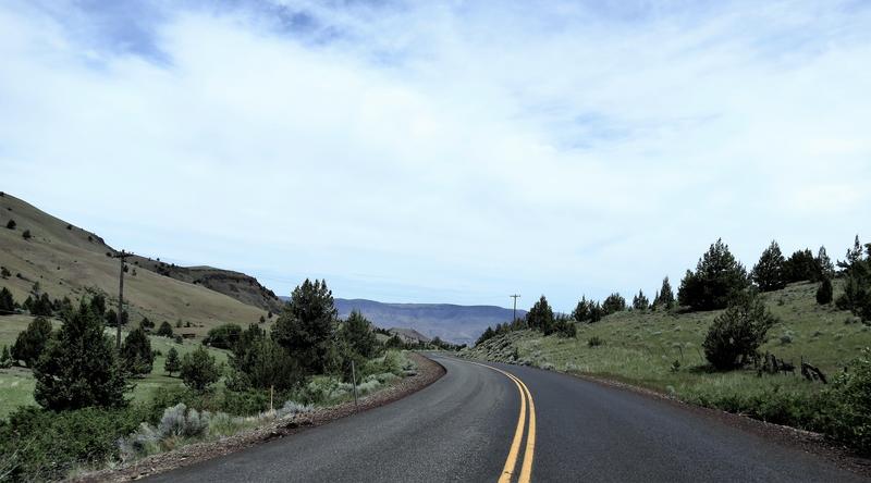
With new tires on the FJR, good weather in the forecast and Oregon opening up it was time to head to NE Oregon, spend a couple of nights in John Day for some great twisty road fun.
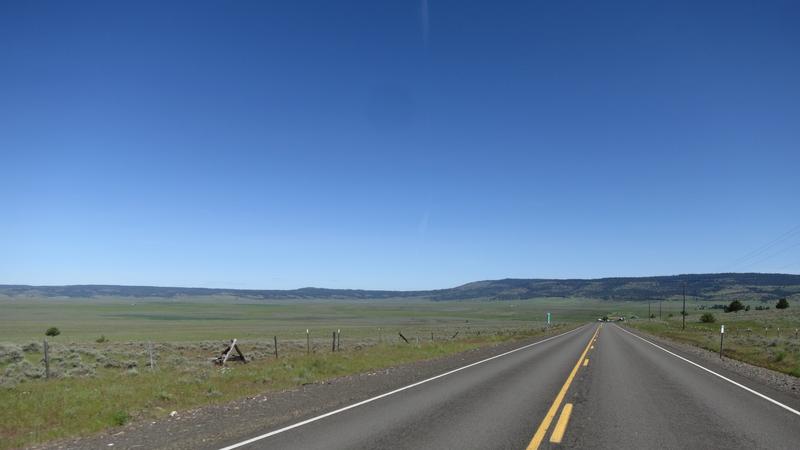
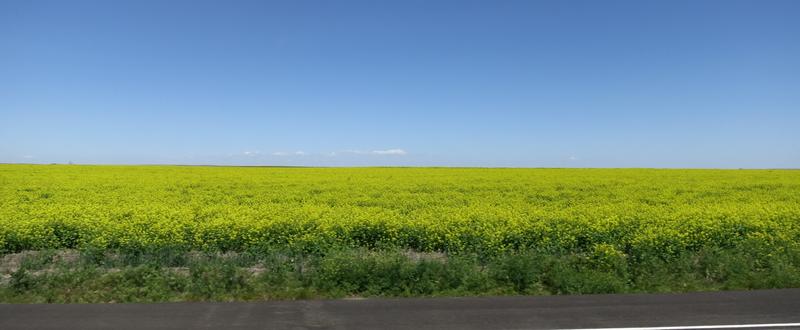
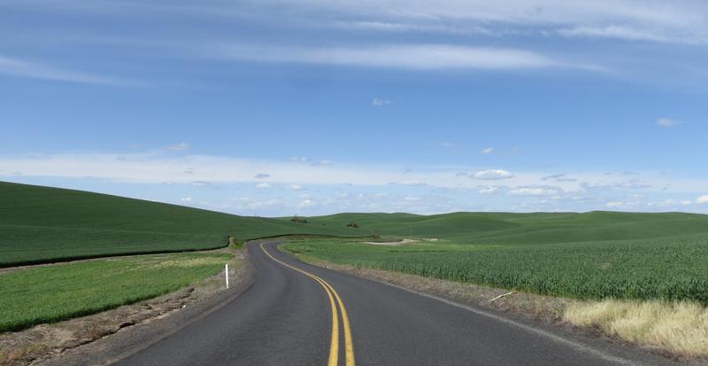
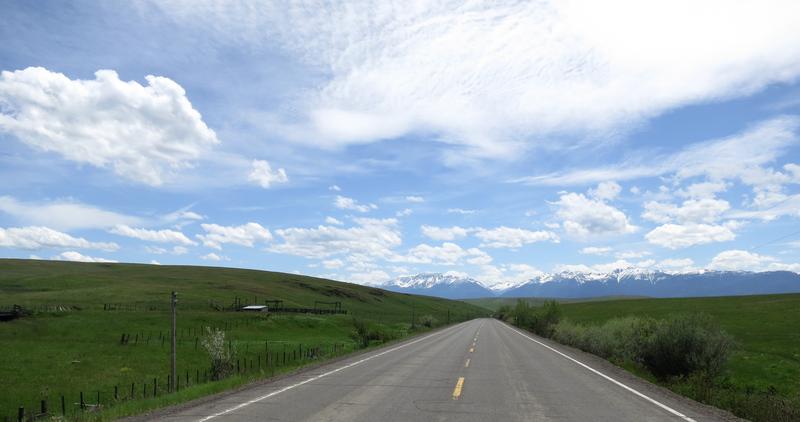
Heading south of Spokane into the wheat fields. Good ride nice day.
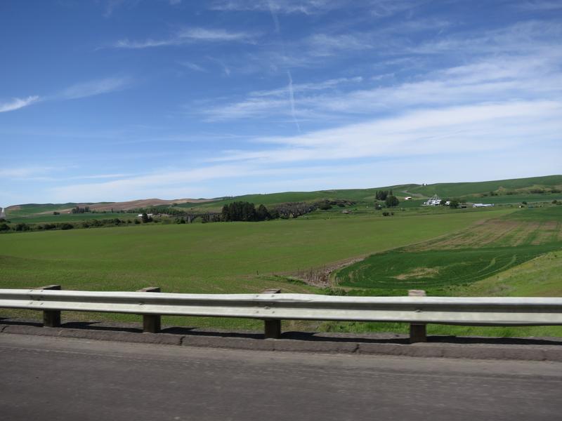
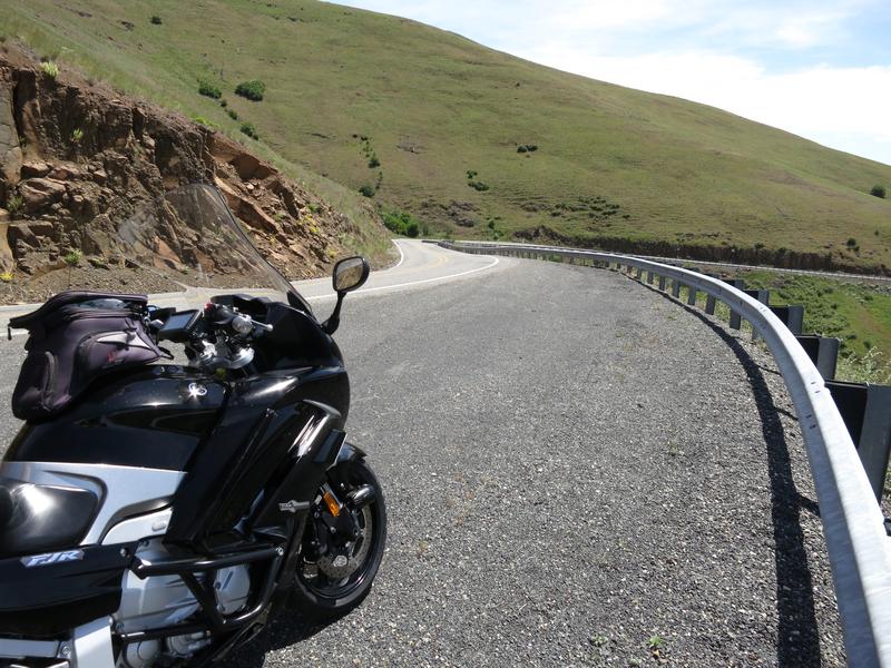
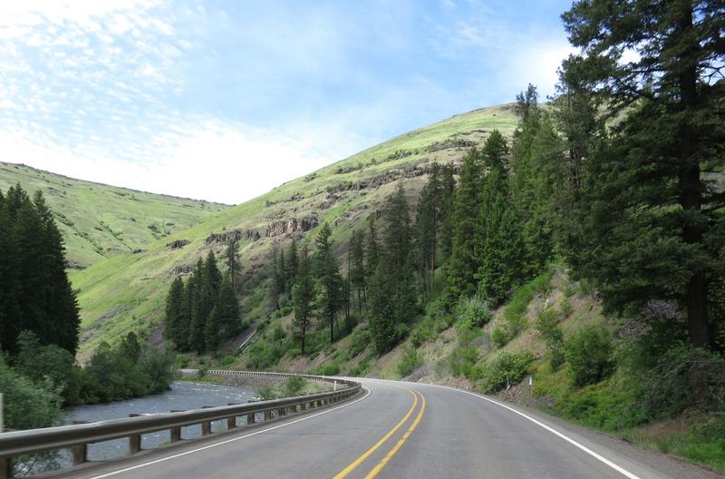
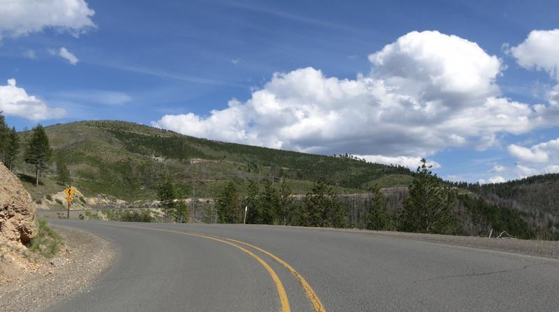
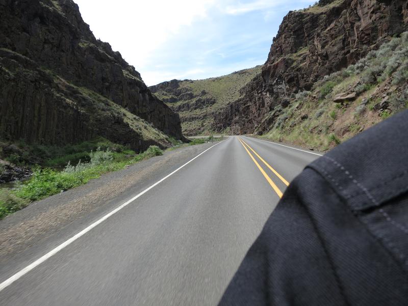
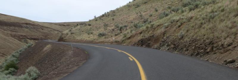
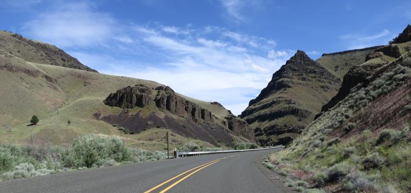
Get to Lewiston and stop at a Subway for sandwich - I go in and take it with me, for I have a place I want to eat this. On to Asotin Washington and Hwy 129 where road does some serious twisting. On this day the land is lush and green not burnt as it is in the photo behind the link. Climbing the twisty road out of Asotin Washington, something was not right, something was missing and I could not put my finger on what. It didn't feel the same as the 09. No it wasn't the suspension. Anyway I went on to Rattlesnake Canyon and enjoyed my sandwich and the views.
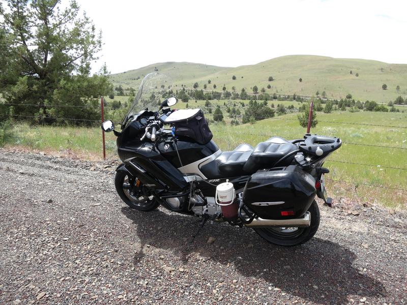
I stop at the summit for this photo.
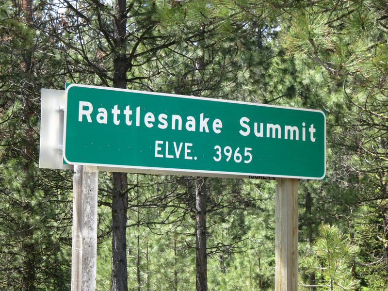
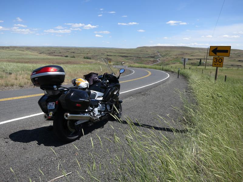
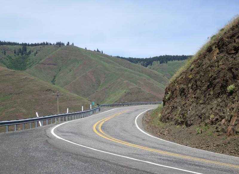
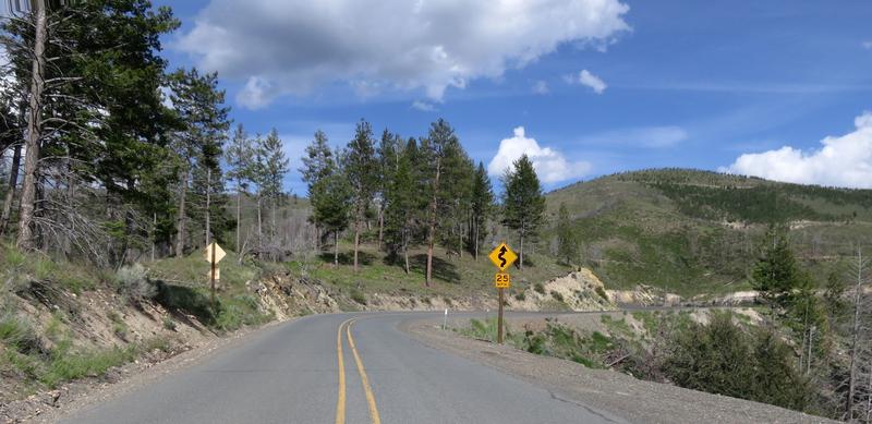
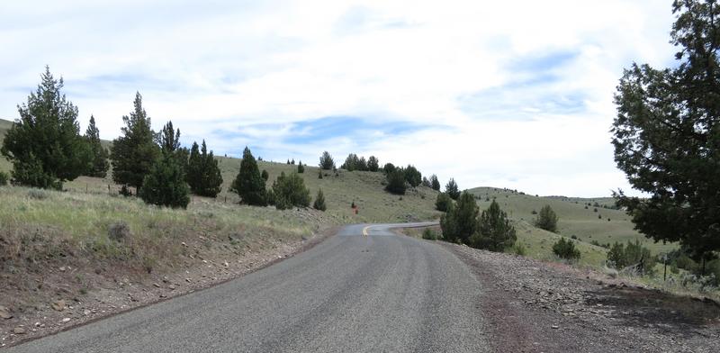
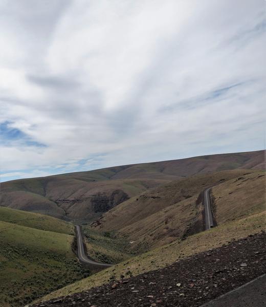
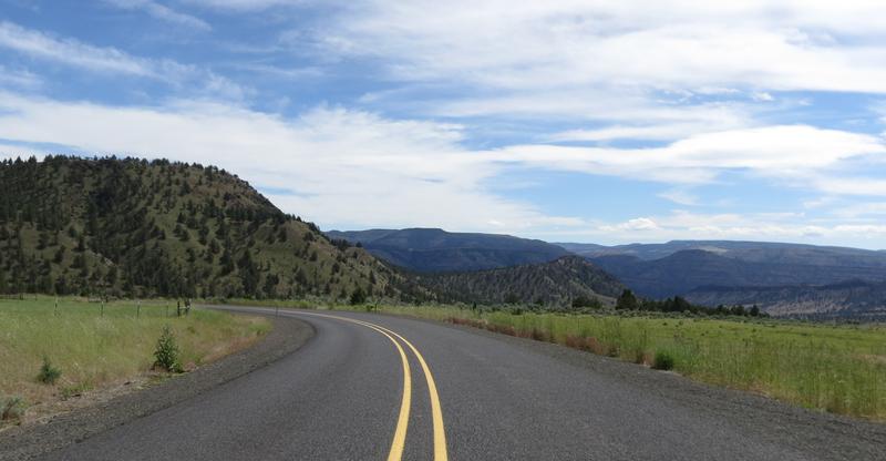
With a name like this it is likely a good road and it is. There is a road near Spokane called Corkscrew Canyon and it wasn't so ya never know.
I stop here to enjoy the sandwich and the view.
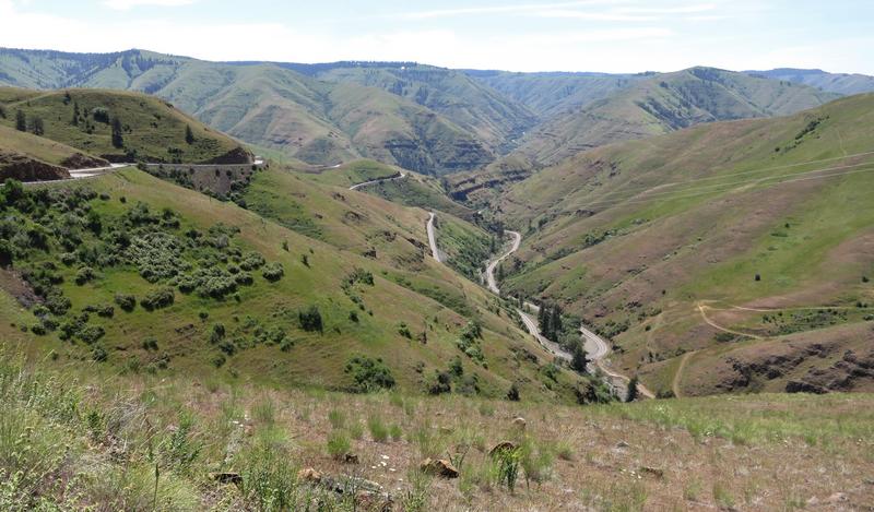
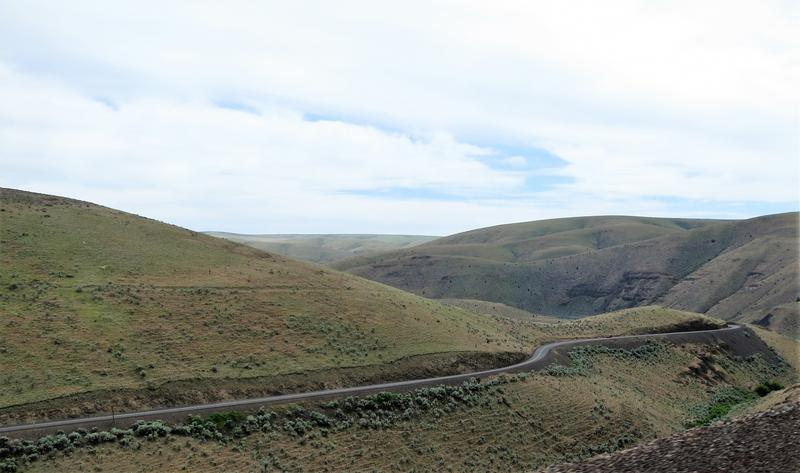
Looking back up the road. I prefer riding down the Washington side and riding up the Oregon side as the view are better. It was near here Cav47 and I ran across a bear with a cub a couple of years ago.
After enjoy the views and food I head out. At some point before heading up the other side, another twist fest with great pavement, I flick it to Sport mode and immediately found what was missing. The tires paid dearly. Flick the switch and the FJR magic returns. Yahoo! I had been running in Touring mode most of the time cause I didn't like the snap in Sport mode. By the time the trip was over I had trained my wrist to avoid the snap. Keep learning and changing even at 64.
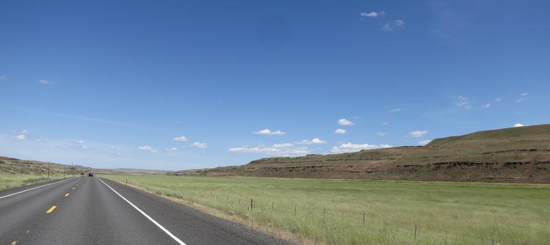
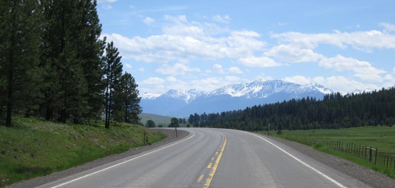
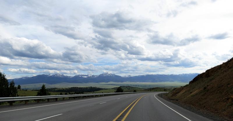
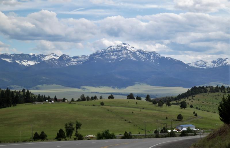
The Wallowa Mountains near Enterprise Oregon. The rivers are running full of water, the grass is green, with snow in the mountains, the air is clean and the flowers are out. What a great day.
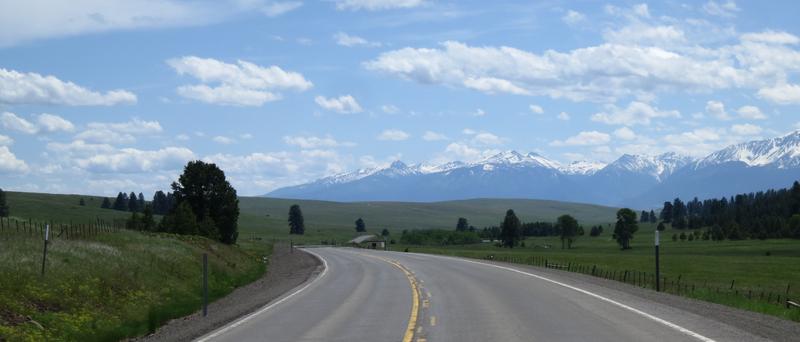
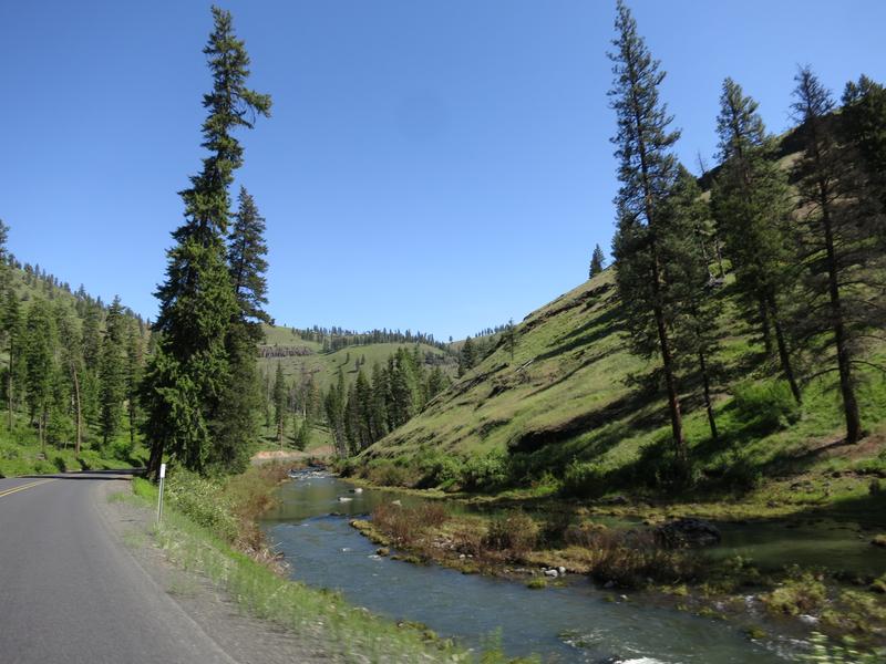
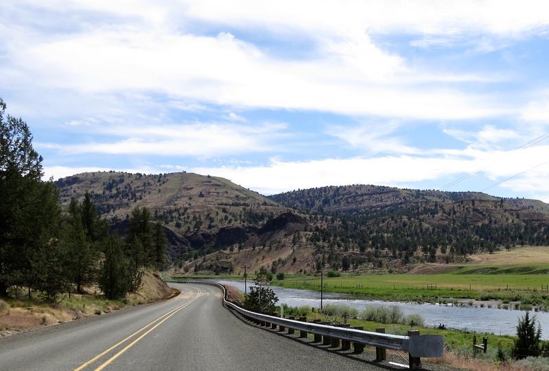
The Minam River along Hwy 82 near Minam Oregon. Nice road but not long after this there was a construction delay.
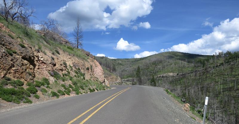
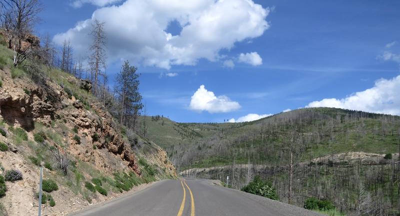
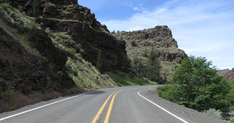
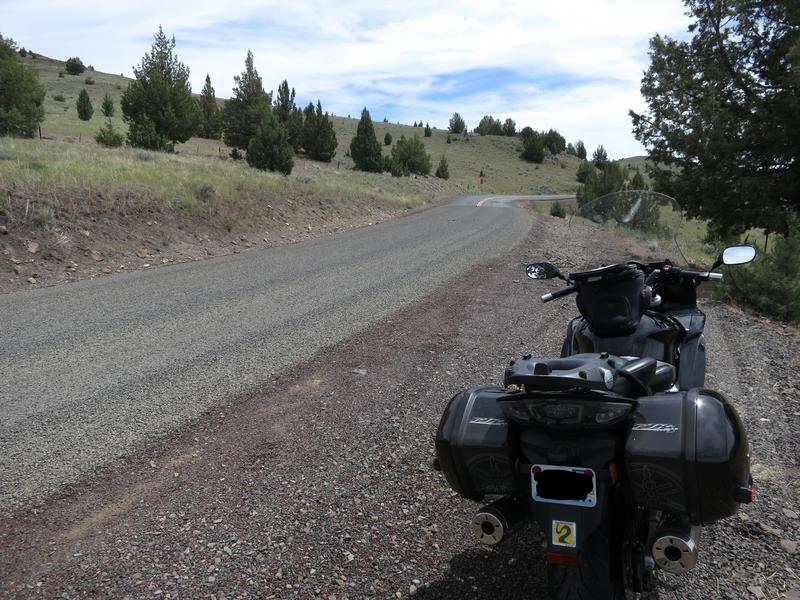
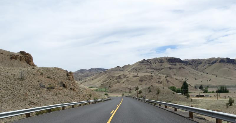
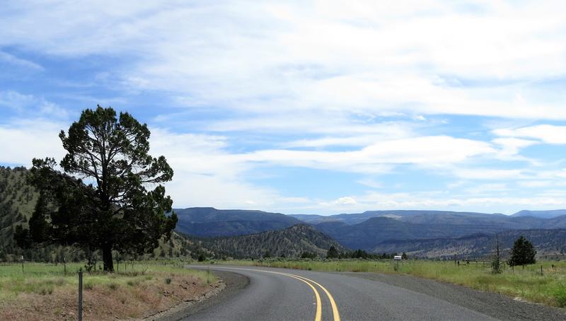
I zip down to Baker City Oregon and head west on Hwy 7 to Hwy 245. Hwy 245 is one of those roads only locals know about. Hard won knowledge. It is 190 turns in 10 miles and in my book is one of the best roads in Oregon. It has great sight lines due to a recent forest fire and the pavement is good. And there is nobody out here so you are not welcome - go away!

Puffy clouds today. Nice.
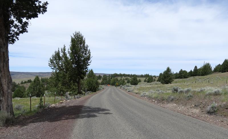
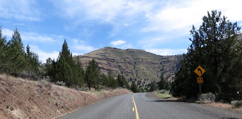
I find my way to Hwy 26 on the way to John Day.
End of Day One.
Here is the route for day two. Breakfast at the Outpost was great and it was open. Social distancing was easy cause the place was nearly empty and the folks there were all smiling and happy. After the griddle breakfast I was on the road. This was going to be a splendid day.
An over the shoulder shot somewhere along Hwy 26. Dig the rock formations.
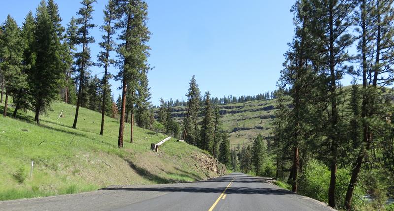
From Hwy 26 at Mitchell Oregon I head north on Hwy 207. This is a great road with some interesting pavement. More good scenery.
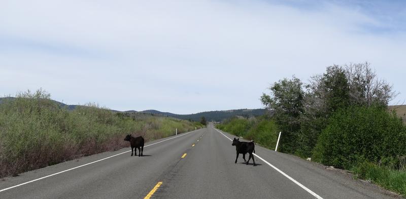
An escape. When I was adjacent to the cows I tested the PIAA slimline horns. They work well and the cows acceleration is pretty good. The FJR's was better.
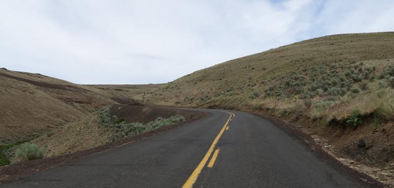
At Fossil Oregon I head west on Hwy 218 for a down and back. This is a great road with two ridges to summit. Coming back is icing on the cake as I can check out the pavement surface for loose gravel, a persistent problem in Oregon, as the shoulders are all gravel. Nuts.
This is a photo of the entrance to John Day Fossil Beds National Monument Clarno Unit. Nice place to take a break but not today - I have twisties on my mind.
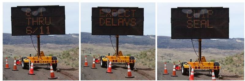
The ride so far has been very good, except the FJR ES Suspension took a leave of absence north of Mitchell, but it is a very nice day to be out on the FJR. Then this. Today is 6/4. Nuts.
I ride on for quite a a while before finding the end. And what a mess it was. Fresh gravel. Yuck. Thankfully this is a down and back for me today so I turned around just a bit early.
The shoulder has about the same amount of gravel as the road.
No paint, no joy.
She sure is pretty but she is a bouncy girl sometimes.
Back on the solid pavement again, bitumen as they called in the land of OZ.
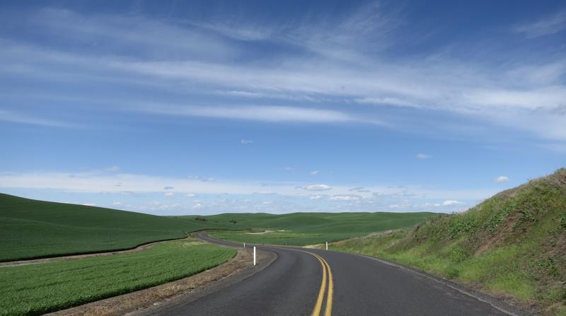
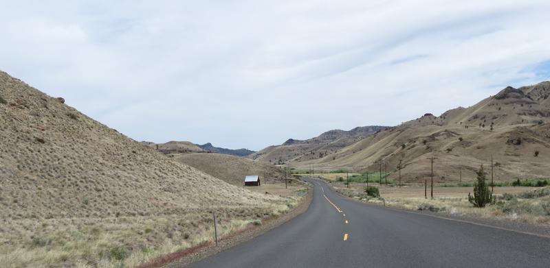
I head back to Fossil Oregon then north on Hwy 19 to Condon Oregon where I take Hwy 206 east, another favorite twisty road. Many years ago I almost crashed on this road due to gravel on the road but got lucky. I am smarter now and still lucky too.
The fun begins.
Love this road.
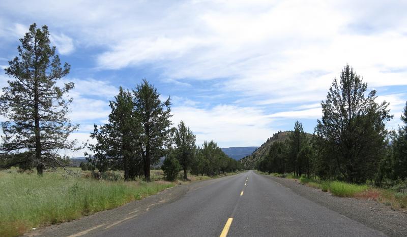
Then back to greener grounds with more trees along Hwy 207. Nice out here. Lonely even. There were a couple of riders out here and even a fellow on a FJR near Heppner.
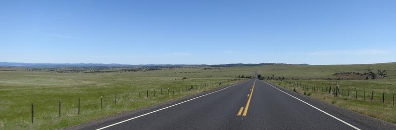
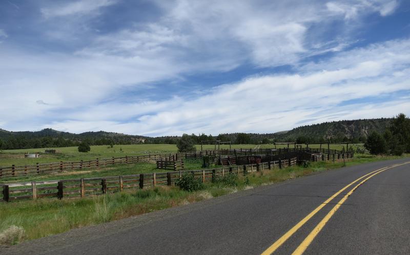
Pasture land.
And great roads. This is for you Ray - turning up the tease meter here.
A moment later the kaleidoscope changes again.
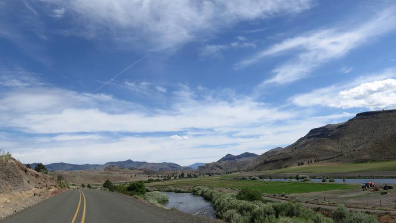
Hwy 207 intersects with Hwy 19 and I enjoy the John Day River with some dirt in the turn ahead. The sand is unusual and due to heavy rainfall the week before.
The geology here is interesting too. Not far from here is the Thomas Condon Paleontology and Visitor Center. It is a nice place to stop and learn about the past. I have been there a few times and today I am more interested in my immediate future.
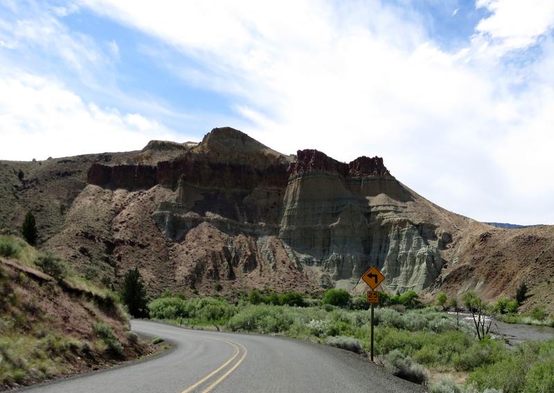
Entering Picture Gorge.
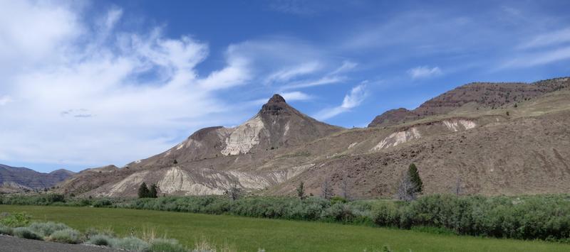
Lush green fields and rock formations.
Nuts to paleontology today. I am more interested in a gastronomic experience at the Outpost in John Day.
To be continued.
Heading south of Spokane into the wheat fields. Good ride nice day.
Get to Lewiston and stop at a Subway for sandwich - I go in and take it with me, for I have a place I want to eat this. On to Asotin Washington and Hwy 129 where road does some serious twisting. On this day the land is lush and green not burnt as it is in the photo behind the link. Climbing the twisty road out of Asotin Washington, something was not right, something was missing and I could not put my finger on what. It didn't feel the same as the 09. No it wasn't the suspension. Anyway I went on to Rattlesnake Canyon and enjoyed my sandwich and the views.
I stop at the summit for this photo.
With a name like this it is likely a good road and it is. There is a road near Spokane called Corkscrew Canyon and it wasn't so ya never know.
I stop here to enjoy the sandwich and the view.
Looking back up the road. I prefer riding down the Washington side and riding up the Oregon side as the view are better. It was near here Cav47 and I ran across a bear with a cub a couple of years ago.
After enjoy the views and food I head out. At some point before heading up the other side, another twist fest with great pavement, I flick it to Sport mode and immediately found what was missing. The tires paid dearly. Flick the switch and the FJR magic returns. Yahoo! I had been running in Touring mode most of the time cause I didn't like the snap in Sport mode. By the time the trip was over I had trained my wrist to avoid the snap. Keep learning and changing even at 64.
The Wallowa Mountains near Enterprise Oregon. The rivers are running full of water, the grass is green, with snow in the mountains, the air is clean and the flowers are out. What a great day.
The Minam River along Hwy 82 near Minam Oregon. Nice road but not long after this there was a construction delay.
I zip down to Baker City Oregon and head west on Hwy 7 to Hwy 245. Hwy 245 is one of those roads only locals know about. Hard won knowledge. It is 190 turns in 10 miles and in my book is one of the best roads in Oregon. It has great sight lines due to a recent forest fire and the pavement is good. And there is nobody out here so you are not welcome - go away!
Puffy clouds today. Nice.
I find my way to Hwy 26 on the way to John Day.
End of Day One.
Here is the route for day two. Breakfast at the Outpost was great and it was open. Social distancing was easy cause the place was nearly empty and the folks there were all smiling and happy. After the griddle breakfast I was on the road. This was going to be a splendid day.
An over the shoulder shot somewhere along Hwy 26. Dig the rock formations.
From Hwy 26 at Mitchell Oregon I head north on Hwy 207. This is a great road with some interesting pavement. More good scenery.
An escape. When I was adjacent to the cows I tested the PIAA slimline horns. They work well and the cows acceleration is pretty good. The FJR's was better.
At Fossil Oregon I head west on Hwy 218 for a down and back. This is a great road with two ridges to summit. Coming back is icing on the cake as I can check out the pavement surface for loose gravel, a persistent problem in Oregon, as the shoulders are all gravel. Nuts.
This is a photo of the entrance to John Day Fossil Beds National Monument Clarno Unit. Nice place to take a break but not today - I have twisties on my mind.
The ride so far has been very good, except the FJR ES Suspension took a leave of absence north of Mitchell, but it is a very nice day to be out on the FJR. Then this. Today is 6/4. Nuts.
I ride on for quite a a while before finding the end. And what a mess it was. Fresh gravel. Yuck. Thankfully this is a down and back for me today so I turned around just a bit early.
The shoulder has about the same amount of gravel as the road.
No paint, no joy.
She sure is pretty but she is a bouncy girl sometimes.
Back on the solid pavement again, bitumen as they called in the land of OZ.
I head back to Fossil Oregon then north on Hwy 19 to Condon Oregon where I take Hwy 206 east, another favorite twisty road. Many years ago I almost crashed on this road due to gravel on the road but got lucky. I am smarter now and still lucky too.
The fun begins.
Love this road.
Then back to greener grounds with more trees along Hwy 207. Nice out here. Lonely even. There were a couple of riders out here and even a fellow on a FJR near Heppner.
Pasture land.
And great roads. This is for you Ray - turning up the tease meter here.
A moment later the kaleidoscope changes again.
Hwy 207 intersects with Hwy 19 and I enjoy the John Day River with some dirt in the turn ahead. The sand is unusual and due to heavy rainfall the week before.
The geology here is interesting too. Not far from here is the Thomas Condon Paleontology and Visitor Center. It is a nice place to stop and learn about the past. I have been there a few times and today I am more interested in my immediate future.
Entering Picture Gorge.
Lush green fields and rock formations.
Nuts to paleontology today. I am more interested in a gastronomic experience at the Outpost in John Day.
To be continued.