Goodman4
Pressing on
Birmingham to NC (and VA) October 11-16 2020
I had just about decided not to do a trip report on this since it was another trip on the Goldwing, but after enjoying some of the other ride reports I thought I’d go ahead and share. People on this forum helped me find these roads initially and made suggestions this time for some changes in the north end of the route.
This was a shorter than usual trip to see if I had recovered enough from my hand surgery to ride the bike very much. We combined this with a trip to Birmingham to see our youngest daughter and looked to see where we could go from there to hit as many twisty roads as possible and see some fall foliage.
I initially had four options with increasing range:
1. NW Alabama in the Mentone area and hang there for a couple days
2. N Georgia doing the Suches loop
3. A greatest hits trip of Butler G1 roads in NC after passing through N Georgia
4. West Virginia in the Monongahela to see the leaves
By the week before, the reports of leaf changes were going to be past peak in WV and at or near peak in NC, so that crossed of the need for option 4. My plan ended up being option 3 and we were rewarded with peak timing for leaves on the Blue Ridge Parkway.
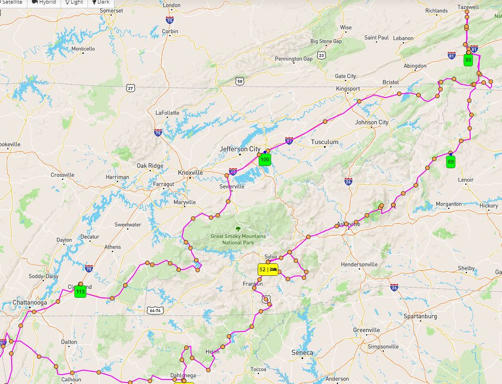
Here’s the main part of the route:
Hurricane Delta was scheduled to dump heavy rain on the area on Saturday Oct 10, so I made sure to get to my daughter’s by Friday evening and I only hit occasional rain on the way down from KY. Then by Sunday afternoon we were able to start the journey with only occasional light to moderate rain.
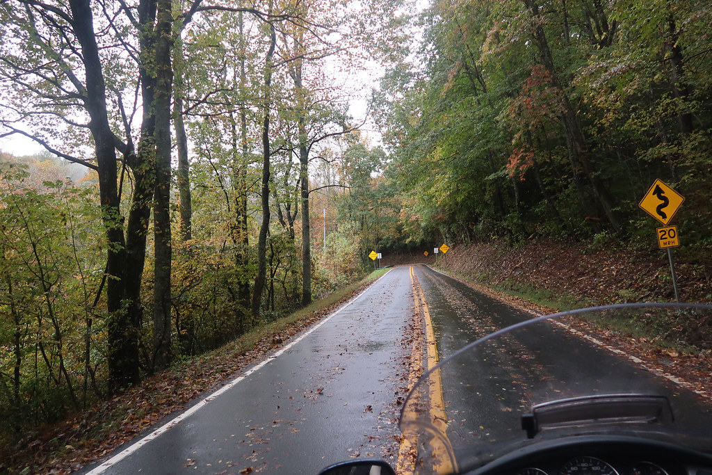
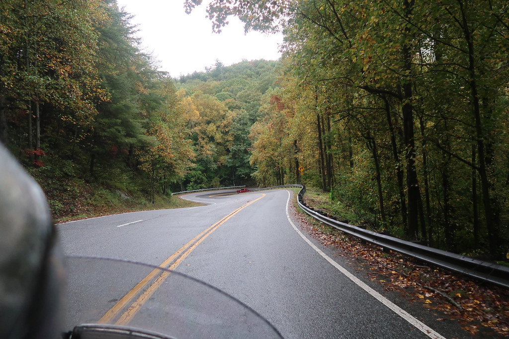
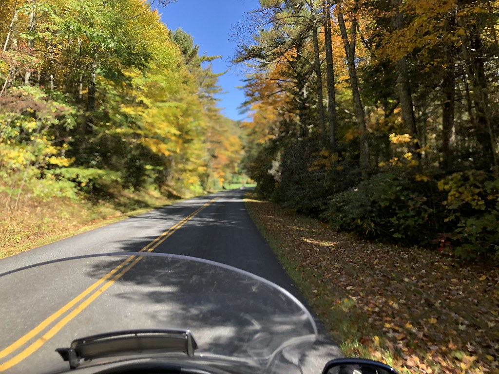
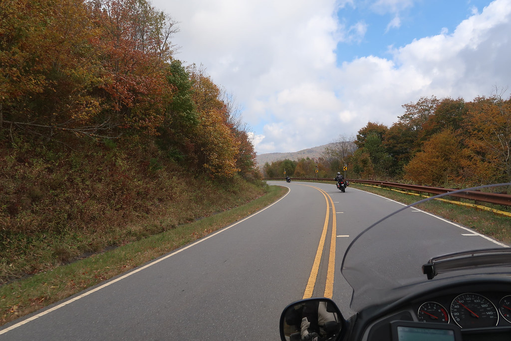
We took I59 to Trenton and drove through Cloudland Canyon then 136 over to Johns Mtn Wildlife Mgmt Area and then Pocket Road / Lake Marvin Rd across Calhoun Gap. It seemed like every road in the area was 136. We kept making turns on different roads, but found they were still named 136. Several decent twisty roads in this area, but the wet leaves on the road took away any spirited riding.
The hand was doing ok, so instead of staying near Calhoun we went on to Dahlonega, an interesting little town that was built on gold mining. We didn’t stop at Amicalola Falls this trip. There’s not much to see from the parking lot. It’s worth seeing if you’re willing to walk up the falls but we were in full gear and it was getting late. The hotel on the square in Dahlonega was already closed so we couldn’t get a room there and instead stayed SE of town.
On Monday the rain had completely stopped but the leaves were still very wet on the road, so it impacted the Suches Loop somewhat, but it was still very fun. We rode the best three gaps there.
GA60 Southeast of Suches:
GA180:
GA19:
We then took 197 and 76 which were very decent roads and then made our way up to 246/106 through Sky Valley into North Carolina. Traffic was really heavy on 64 / Moonshiner 28 up from Highlands, so that wasn’t much fun. I usually love that road. We stopped in the crowded parking lot of Dry Falls for an amazing view of the falls which were roaring.
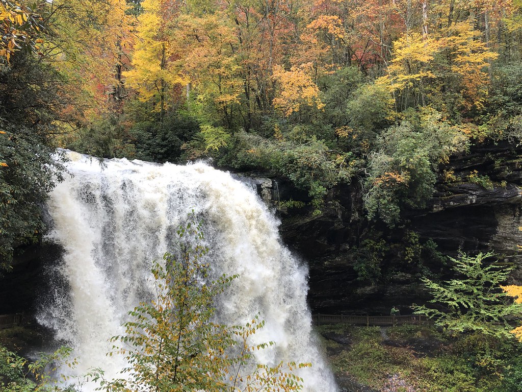
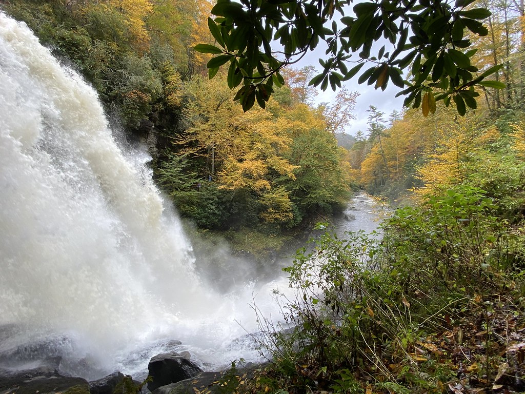
This is one of my favorite waterfalls.
We planned to take Tilley Creek Rd but since we ate in Franklin it was easier to skip that and take 441 to get us eventually to 281 and Charley’s Creek Rd. We enjoyed both of these as everything had dried out.
Charley’s Creek Rd:
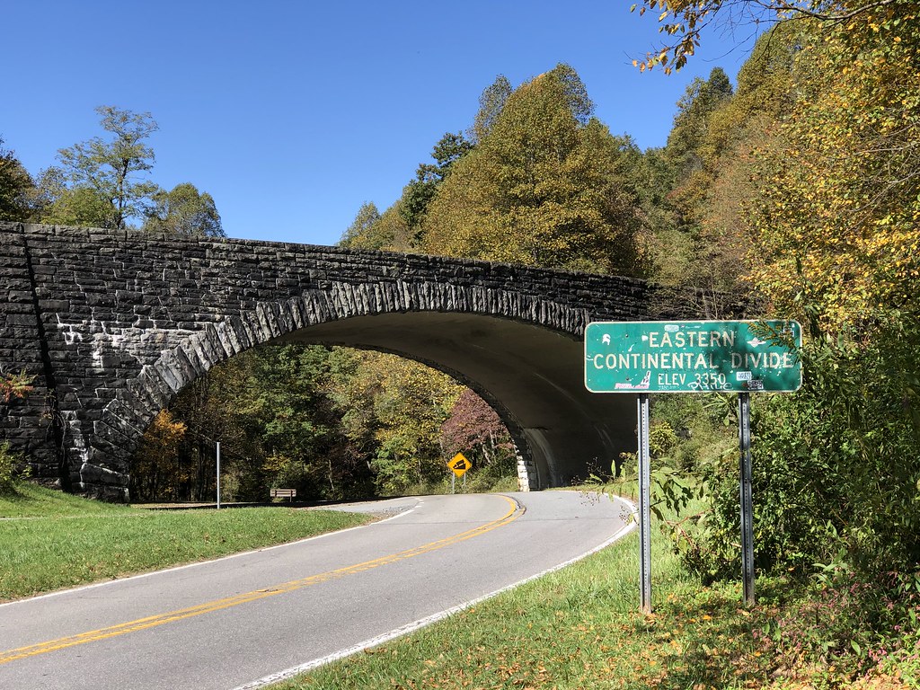
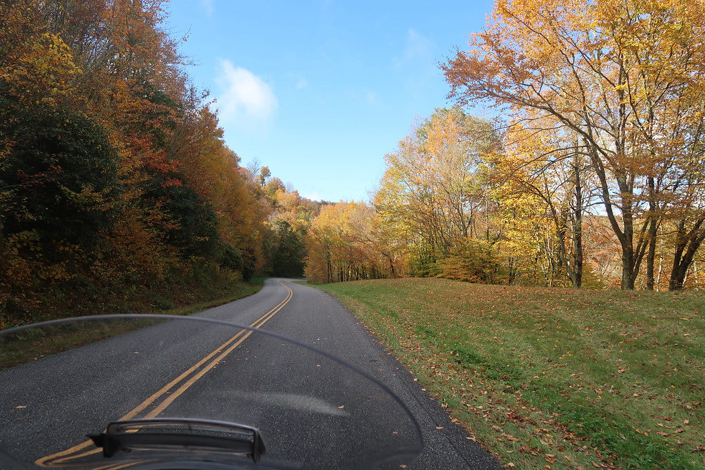
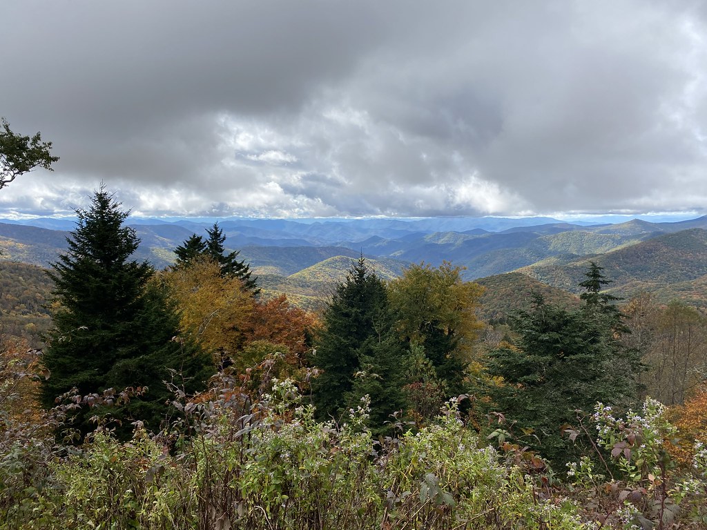
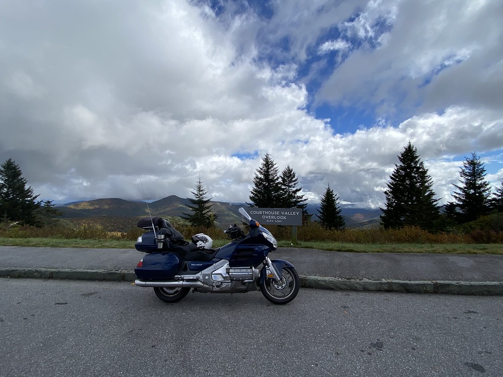
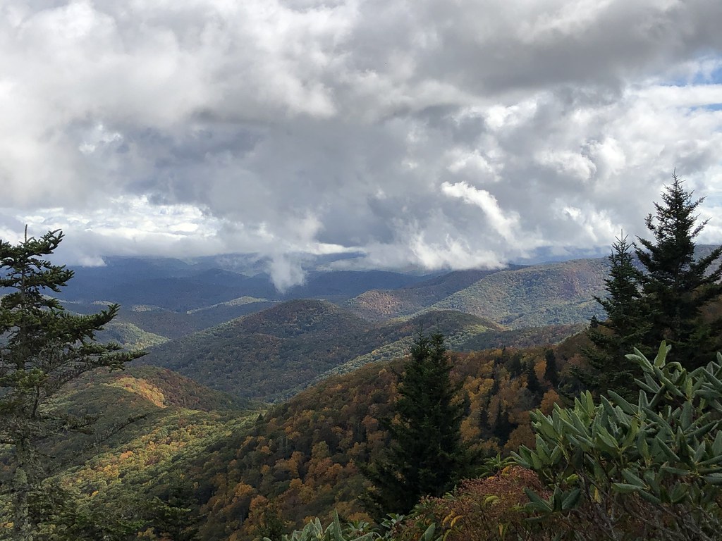
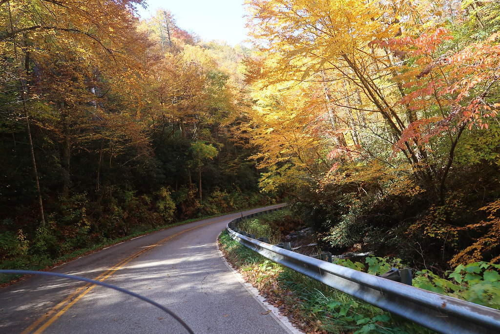
From there 215 took us up to the Blue Ridge Parkway’s southernmost point and we rode that NW to Balsam. The BRP was crazy beautiful with the clouds and fall colors. It is easy in some of the pics to see why they call them the “Blue Ridge” mountains.
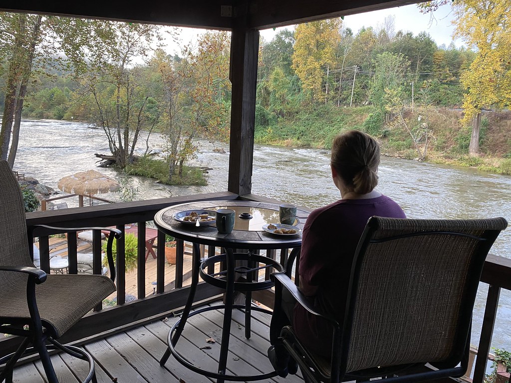
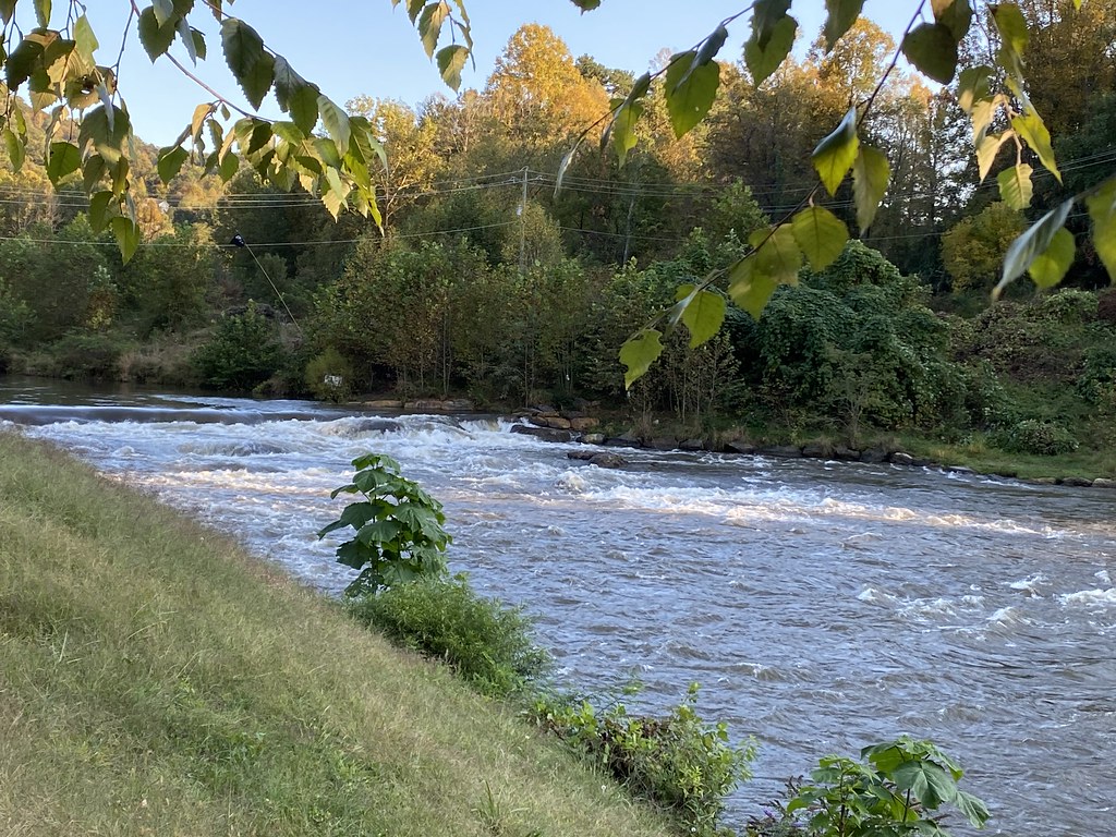
We stayed at the Dillsboro Inn where we had stayed 6 years ago and I like its quirky vibe. It’s right on the Tucksegee River.
On Tuesday it was very nice weather but cool as we left pretty early in the morning.
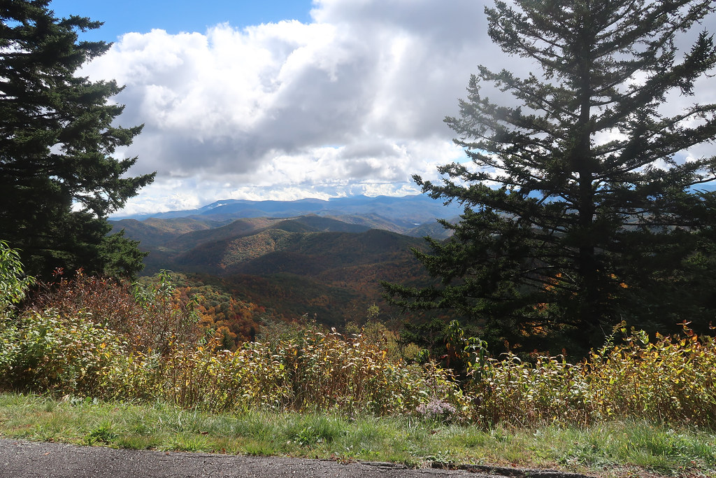
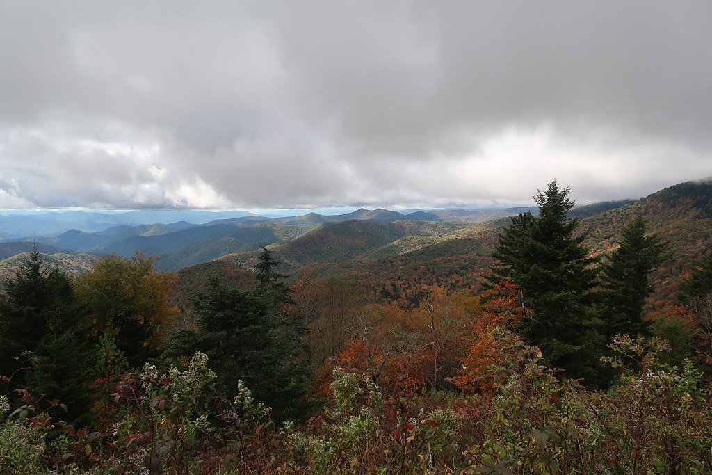
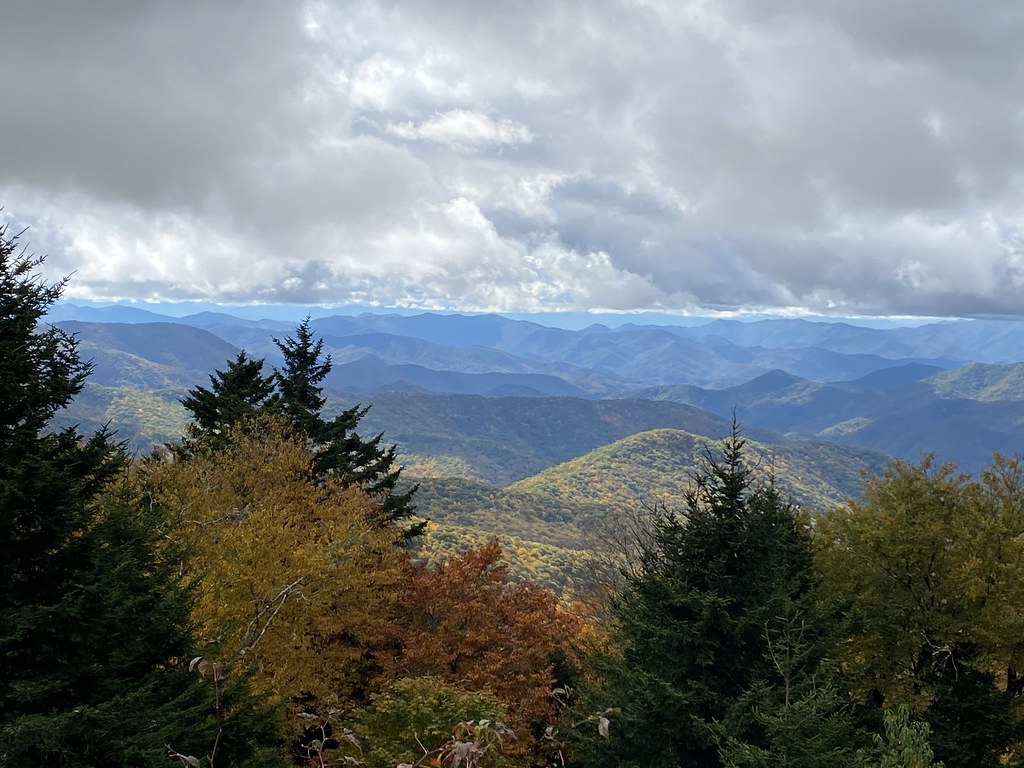
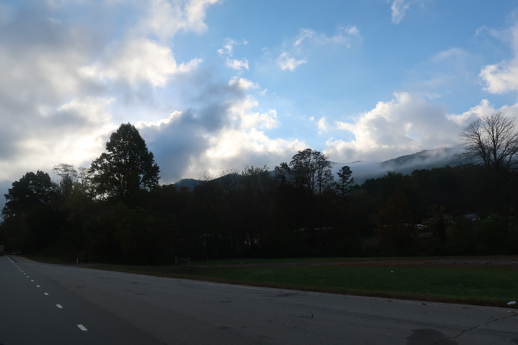
Morning clouds near Waynesville NC:
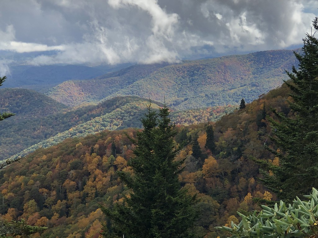
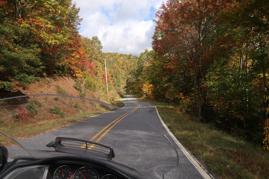
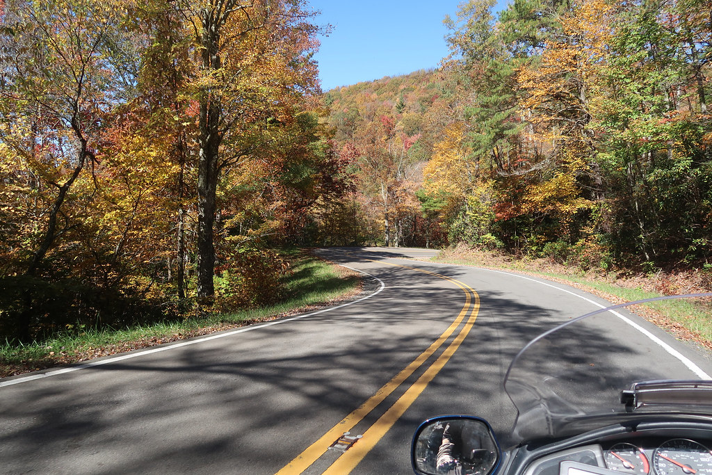
We took Newfound Road to bypass the west side of Asheville and it was a very good road. I had tried downloading this part of the ride from the route that my new Calimoto app recommended. I still like the app, but it doesn’t work well to download all those points into the GPS. I got frustrated in Asheville and just ignored the route and kept going east. I finally ended up on 694/Town Mountain Rd and that was a really fun and beautiful road with peak leaf viewing. That led us back to the BRP which was awesome at peak leaf season.
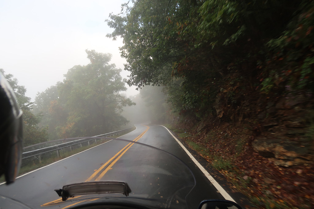
The clouds were worrying us and I thought we might not drive up to Mt Mitchell due to the lack visibility.
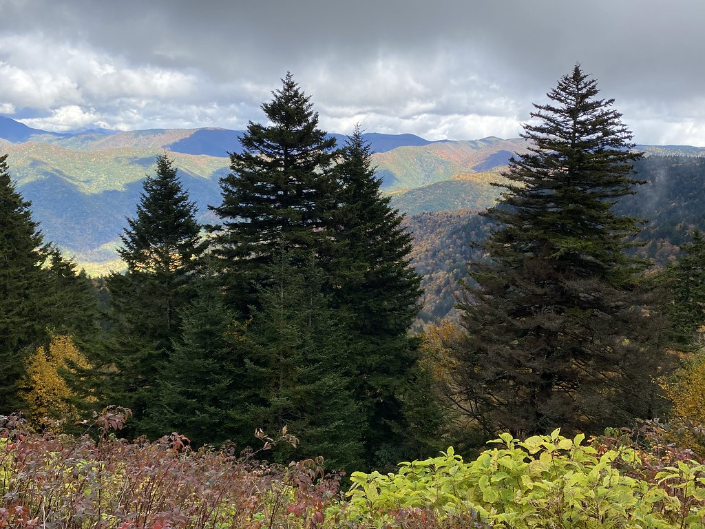
Fortunately the clouds cleared just after Craggy Gardens so we went ahead and drove up to Mt Mitchell. There was no traffic there and I was able to have a little fun on the road up to the summit. The view was not as good as the rest of the parkway because there is no foliage in the higher altitude and would have been past peak anyway.
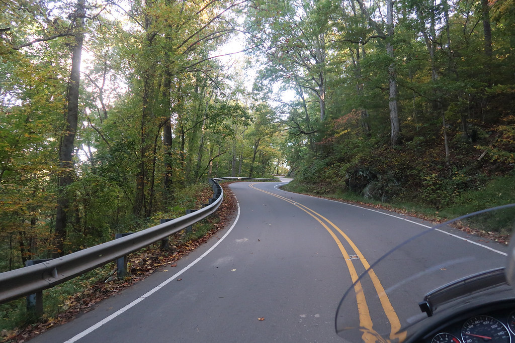
I’ve never been on NC 80 south of the parkway so we took a detour and went 4 miles down and back to check out part of it. The section near the parkway is a fantastic road! It’s really twisty.
We got back on the parkway until 221 near Grandfather Mtn.
I enjoyed going up Grandfather several years ago, but they charge $20 now and you have to reserve the time through the website due to COVID. It wasn’t worth the trouble so we skipped it. We took 221 from there to Blowing Rock. It was very twisty but not one of our favorites. It just had a strange feel that I couldn’t get into a groove on. The leaves were still pretty, though.
NC221:
We had planned on getting off the BRP and working our way up through some new areas around Banner Elk that we didn’t do on our other two trips through this area. We got pretty tired of the parkway the first time we did it after Boone but this time the leaves were so pretty we stayed on it all the way up to 421/Deep Gap.
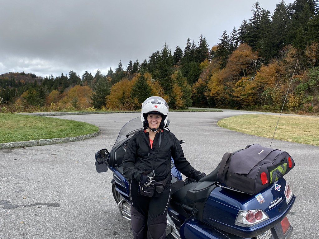
From there we took 194 up to West Jefferson and then up to Lansing. Good road but Lansing looked like something from The Walking Dead. When we got to 58 I drove out of the way to Grayson Highlands State Park on that road and it was probably the best of the day. From there we came back across to Mouth of Wilson and took some one lane back roads up to 16 to make it to Marion, VA. We stayed at a very old historic hotel in Marion - the General Francis Marion, which was actually great and we weren’t the only bikers there.
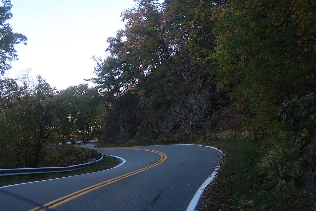
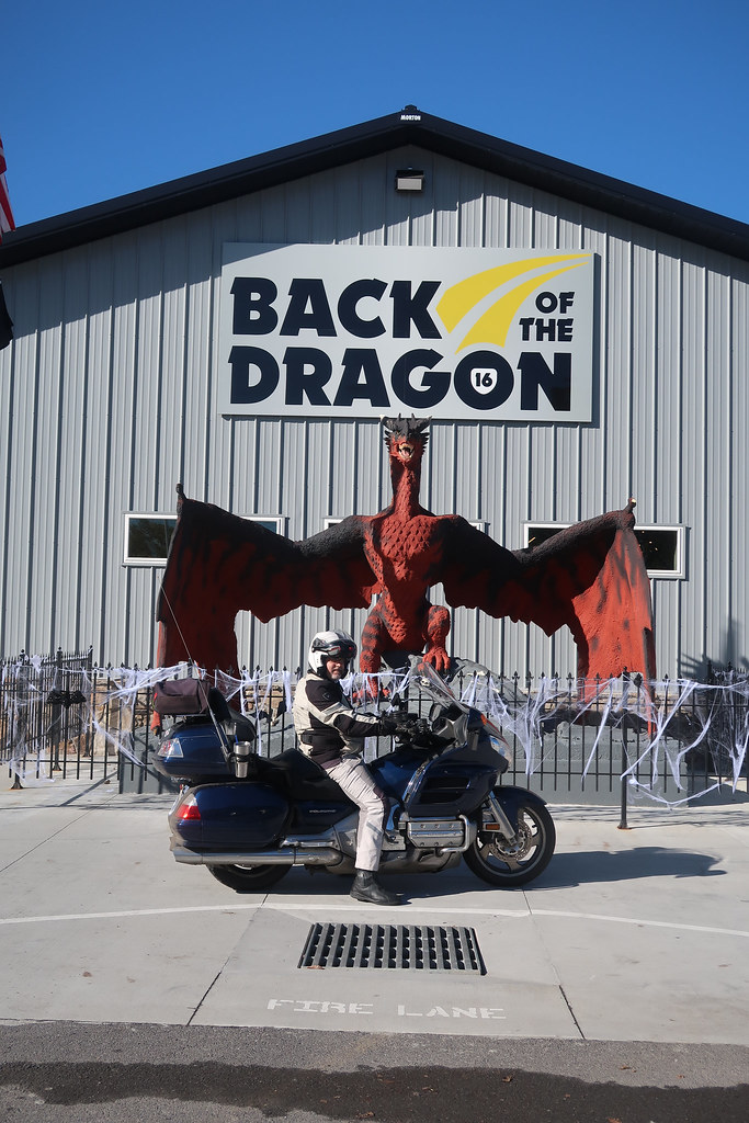
On Wednesday we rode up and down VA16 Back of the Dragon. I still love that road but this was the first time I had much traffic so it was a little bit less fun. The micro-brewery and biker tourist stop in Tazewell was very nice. I hope they do well.
VA16:
We came all the way down to Volney as recommended by 1911 and drove across 58 again but this time went all the way to Damascus.
We drove down to Mountain City and rode The Snake which has a wonderful serpentine feel.
421 The Snake:
We finished out the day on the interstate and stayed in Morristown.
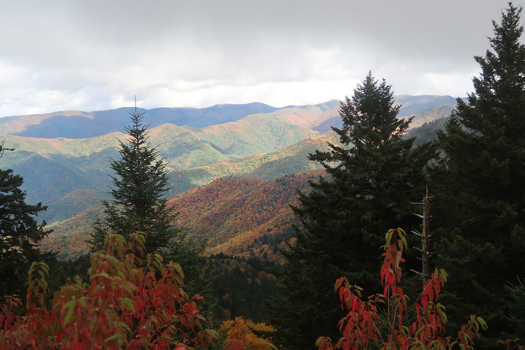
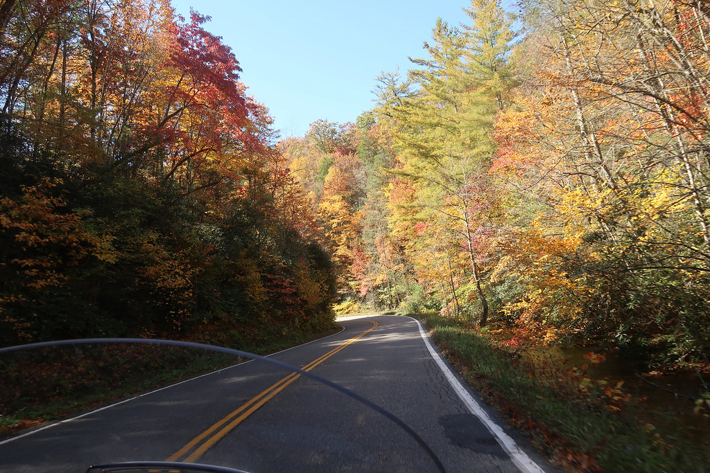
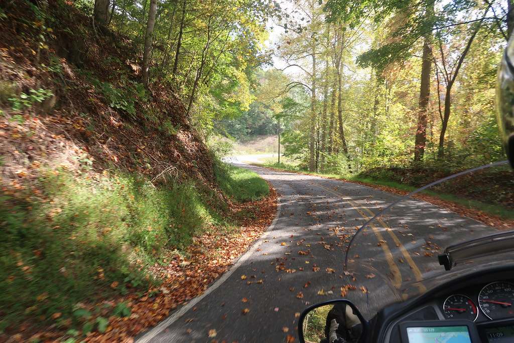
On Thursday we went down through Sevierville with lots of traffic as expected. I did not expect so much traffic on 321 and then the Foothills Parkway but it was loaded with leaf peepers. Luckily, there was zero traffic on the Dragon and it was a blast.
A more rural and leafy dragon pic:
We enjoyed the Cherohala again but there was some traffic to contend with.
We took back roads down to Cleveland and stayed there.
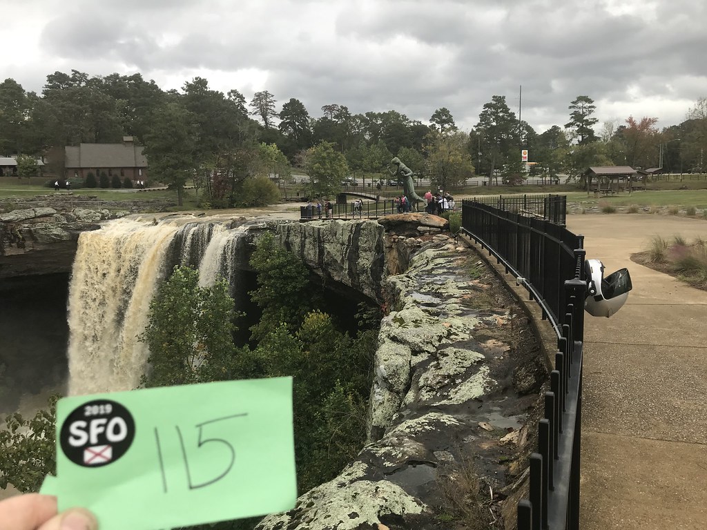
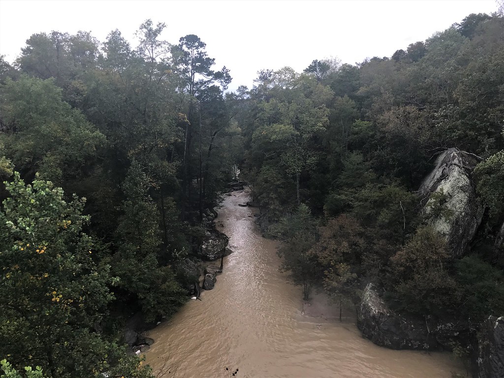
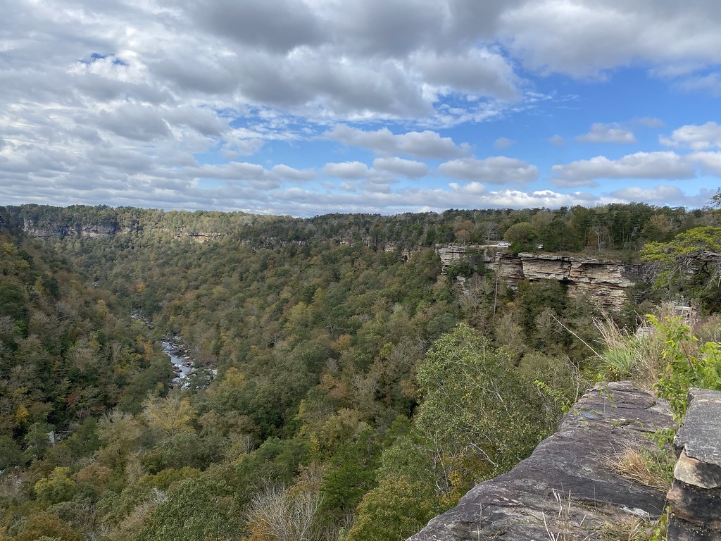
Went up Lookout Mountain and on down to Little River Canyon

We took 411 down to Leeds and almost went into Barber for the third time, but decided to spend some extra time with the daughter instead.
In summary, counting only G1 roads classified by Butler as the top roads in GA, NC, TN and VA we hit 18 of them: Cloudland Canyon, Hwy 136, Lake Marvin Rd, Hwy 60, Hwy 180, Hwy 19, Larry McClure Hwy, Moonshiner 28, Charley’s Creek, Blue Ridge Parkway (several sections), Hwy 80, Hwy 221, Hwy 58, Back of the Dragon, The Snake, Tail of the Dragon, Cherohala, and Lookout Mtn plus many more G2 and G3 roads. The hand held up great and we had fun catching up on twisties in this abbreviated riding year.
I had just about decided not to do a trip report on this since it was another trip on the Goldwing, but after enjoying some of the other ride reports I thought I’d go ahead and share. People on this forum helped me find these roads initially and made suggestions this time for some changes in the north end of the route.
This was a shorter than usual trip to see if I had recovered enough from my hand surgery to ride the bike very much. We combined this with a trip to Birmingham to see our youngest daughter and looked to see where we could go from there to hit as many twisty roads as possible and see some fall foliage.
I initially had four options with increasing range:
1. NW Alabama in the Mentone area and hang there for a couple days
2. N Georgia doing the Suches loop
3. A greatest hits trip of Butler G1 roads in NC after passing through N Georgia
4. West Virginia in the Monongahela to see the leaves
By the week before, the reports of leaf changes were going to be past peak in WV and at or near peak in NC, so that crossed of the need for option 4. My plan ended up being option 3 and we were rewarded with peak timing for leaves on the Blue Ridge Parkway.
Here’s the main part of the route:
Hurricane Delta was scheduled to dump heavy rain on the area on Saturday Oct 10, so I made sure to get to my daughter’s by Friday evening and I only hit occasional rain on the way down from KY. Then by Sunday afternoon we were able to start the journey with only occasional light to moderate rain.
We took I59 to Trenton and drove through Cloudland Canyon then 136 over to Johns Mtn Wildlife Mgmt Area and then Pocket Road / Lake Marvin Rd across Calhoun Gap. It seemed like every road in the area was 136. We kept making turns on different roads, but found they were still named 136. Several decent twisty roads in this area, but the wet leaves on the road took away any spirited riding.
The hand was doing ok, so instead of staying near Calhoun we went on to Dahlonega, an interesting little town that was built on gold mining. We didn’t stop at Amicalola Falls this trip. There’s not much to see from the parking lot. It’s worth seeing if you’re willing to walk up the falls but we were in full gear and it was getting late. The hotel on the square in Dahlonega was already closed so we couldn’t get a room there and instead stayed SE of town.
On Monday the rain had completely stopped but the leaves were still very wet on the road, so it impacted the Suches Loop somewhat, but it was still very fun. We rode the best three gaps there.
GA60 Southeast of Suches:
GA180:
GA19:
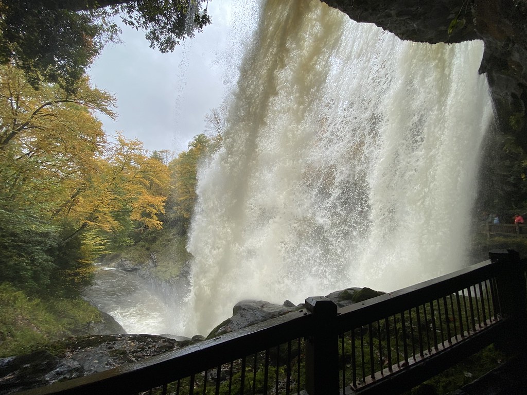
We then took 197 and 76 which were very decent roads and then made our way up to 246/106 through Sky Valley into North Carolina. Traffic was really heavy on 64 / Moonshiner 28 up from Highlands, so that wasn’t much fun. I usually love that road. We stopped in the crowded parking lot of Dry Falls for an amazing view of the falls which were roaring.
This is one of my favorite waterfalls.
We planned to take Tilley Creek Rd but since we ate in Franklin it was easier to skip that and take 441 to get us eventually to 281 and Charley’s Creek Rd. We enjoyed both of these as everything had dried out.
Charley’s Creek Rd:
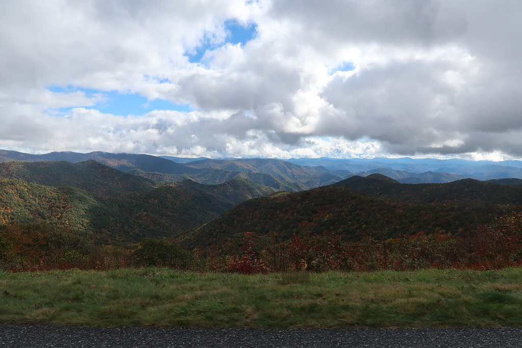
From there 215 took us up to the Blue Ridge Parkway’s southernmost point and we rode that NW to Balsam. The BRP was crazy beautiful with the clouds and fall colors. It is easy in some of the pics to see why they call them the “Blue Ridge” mountains.
We stayed at the Dillsboro Inn where we had stayed 6 years ago and I like its quirky vibe. It’s right on the Tucksegee River.
On Tuesday it was very nice weather but cool as we left pretty early in the morning.
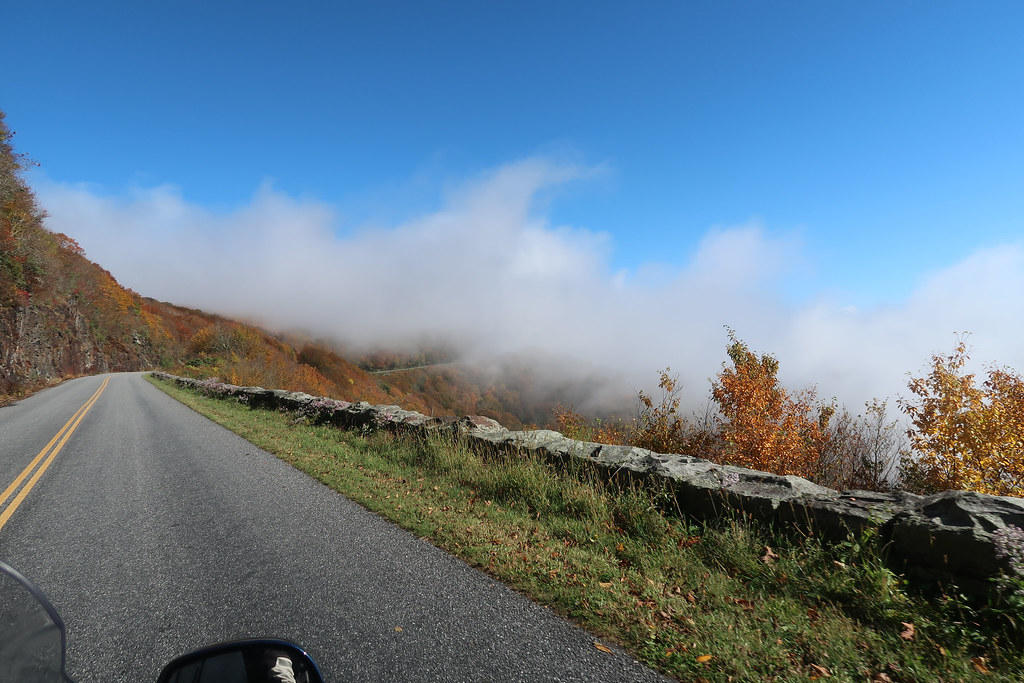
Morning clouds near Waynesville NC:
We took Newfound Road to bypass the west side of Asheville and it was a very good road. I had tried downloading this part of the ride from the route that my new Calimoto app recommended. I still like the app, but it doesn’t work well to download all those points into the GPS. I got frustrated in Asheville and just ignored the route and kept going east. I finally ended up on 694/Town Mountain Rd and that was a really fun and beautiful road with peak leaf viewing. That led us back to the BRP which was awesome at peak leaf season.
The clouds were worrying us and I thought we might not drive up to Mt Mitchell due to the lack visibility.
Fortunately the clouds cleared just after Craggy Gardens so we went ahead and drove up to Mt Mitchell. There was no traffic there and I was able to have a little fun on the road up to the summit. The view was not as good as the rest of the parkway because there is no foliage in the higher altitude and would have been past peak anyway.
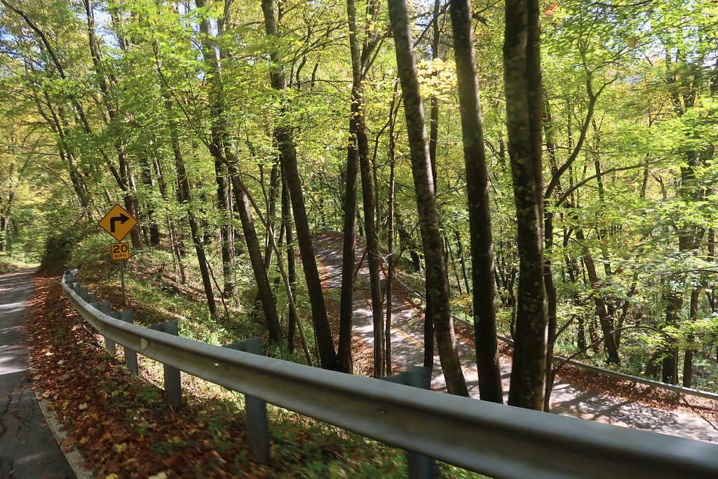
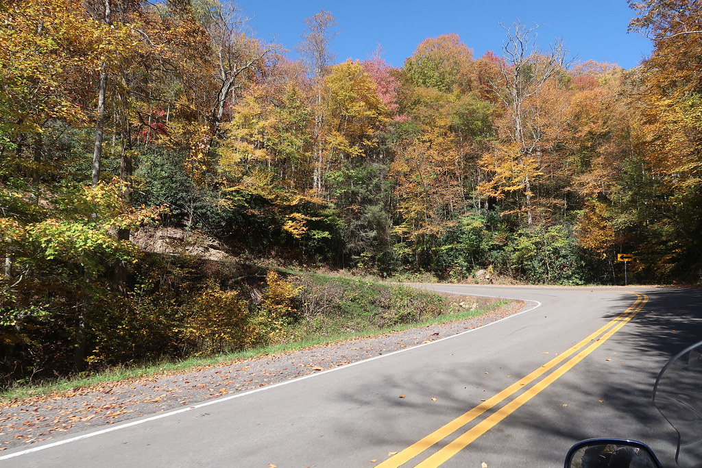
I’ve never been on NC 80 south of the parkway so we took a detour and went 4 miles down and back to check out part of it. The section near the parkway is a fantastic road! It’s really twisty.
We got back on the parkway until 221 near Grandfather Mtn.
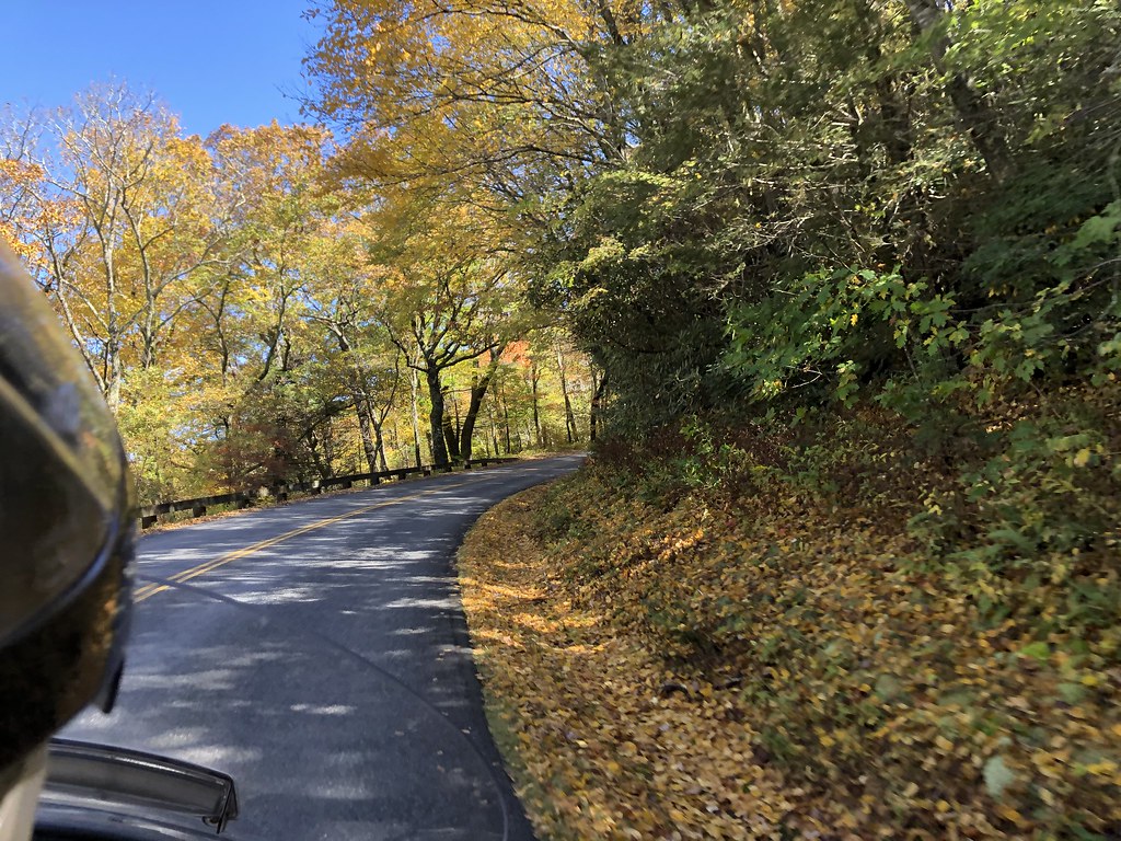
I enjoyed going up Grandfather several years ago, but they charge $20 now and you have to reserve the time through the website due to COVID. It wasn’t worth the trouble so we skipped it. We took 221 from there to Blowing Rock. It was very twisty but not one of our favorites. It just had a strange feel that I couldn’t get into a groove on. The leaves were still pretty, though.
NC221:
We had planned on getting off the BRP and working our way up through some new areas around Banner Elk that we didn’t do on our other two trips through this area. We got pretty tired of the parkway the first time we did it after Boone but this time the leaves were so pretty we stayed on it all the way up to 421/Deep Gap.
From there we took 194 up to West Jefferson and then up to Lansing. Good road but Lansing looked like something from The Walking Dead. When we got to 58 I drove out of the way to Grayson Highlands State Park on that road and it was probably the best of the day. From there we came back across to Mouth of Wilson and took some one lane back roads up to 16 to make it to Marion, VA. We stayed at a very old historic hotel in Marion - the General Francis Marion, which was actually great and we weren’t the only bikers there.
On Wednesday we rode up and down VA16 Back of the Dragon. I still love that road but this was the first time I had much traffic so it was a little bit less fun. The micro-brewery and biker tourist stop in Tazewell was very nice. I hope they do well.
VA16:
We came all the way down to Volney as recommended by 1911 and drove across 58 again but this time went all the way to Damascus.
We drove down to Mountain City and rode The Snake which has a wonderful serpentine feel.
421 The Snake:
We finished out the day on the interstate and stayed in Morristown.
On Thursday we went down through Sevierville with lots of traffic as expected. I did not expect so much traffic on 321 and then the Foothills Parkway but it was loaded with leaf peepers. Luckily, there was zero traffic on the Dragon and it was a blast.
A more rural and leafy dragon pic:
We enjoyed the Cherohala again but there was some traffic to contend with.
We took back roads down to Cleveland and stayed there.
Went up Lookout Mountain and on down to Little River Canyon
We took 411 down to Leeds and almost went into Barber for the third time, but decided to spend some extra time with the daughter instead.
In summary, counting only G1 roads classified by Butler as the top roads in GA, NC, TN and VA we hit 18 of them: Cloudland Canyon, Hwy 136, Lake Marvin Rd, Hwy 60, Hwy 180, Hwy 19, Larry McClure Hwy, Moonshiner 28, Charley’s Creek, Blue Ridge Parkway (several sections), Hwy 80, Hwy 221, Hwy 58, Back of the Dragon, The Snake, Tail of the Dragon, Cherohala, and Lookout Mtn plus many more G2 and G3 roads. The hand held up great and we had fun catching up on twisties in this abbreviated riding year.