NAFO 2016 pics

Yamaha FJR Motorcycle Forum

Help Support Yamaha FJR Motorcycle Forum:

This site may earn a commission from merchant affiliate links, including eBay, Amazon, and others.
I think we determined that Jack was easily the youngest at 17 and the next closest were 28...yes, they were definitely outliers in the age distribution.
Well you could say the youngest was -6 months
smile.png
since Grace is pregnant; that little guy (or girl) rode about 3800 miles with mom this trip.
Congrats Tim and Grace!

 
Russperry, those look like atv trails...and atvs might struggle...beautiful vistas though...a "road" too primative for me though...

 
Last edited by a moderator:
I finally got my pics downloaded so here are a few of them.

Here we were staging up for the group pic. This this isn't the "official" shot, but since I haven't seen that one yet . . .

Great attendance. Anybody get a count on total people and total FJRs in the parking lot?

IMG_2992_zpsmzfct4xl.jpg


I just liked this shot of Burns1, Chad, cruising the parking lot with his ever-present ciggie. Poor addict.

IMG_2999_zps19m3uzox.jpg


On Saturday Bob/Intech had set up an open house at the local dealership. I liked this shot of all these FJRs out front. I wish I'd counted them.

IMG_2979_zpszsa8nvlu.jpg


Now the good Colorado stuff: This was just a beautiful view on the ride just beyond the Telluride turnoff on hwy 145 on the way to "Lizard Head Pass".

IMG_0558_zpsgvsda0dn.jpg


Here's the Black Canyon of the Gunnison National Park. About the shortest ride to a "G1" rated Butler Map road from Montrose. Long, STEEP descent to the river.

IMG_2980_zps4gqqdfki.jpg


And the road climbing up to Independence Pass.

IMG_3006_zpsphd0sjbj.jpg


Same road, another angle.

IMG_3009_zps0r9bxpzb.jpg


And from the top of Cottonwood Pass. Lesser known, probably because it's only paved from the top east but gorgeous anyway.

IMG_3003_zpsnah8pfxp.jpg


And the summit of Mt. Evans the highest paved road on the continent. What a climb! The approach on hwy 103 from either side was super fun, and the last few twisting miles to the top were as tight as any road I tried in the Alps. Or even Auburn FJR's driveway!

For the 2008 NAFO in Golden, this was one of the planned day rides, and I was bitterly disappointed not to be able to go, but I had the bad luck to total my first FJR in Helena, MT on the way. I always wanted to go back. so HAH.

IMG_3020_zpss8vwco0y.jpg


What a blast NAFO was! Good job, organizers.

 
Last edited by a moderator:
Some people just naturally appear smart...

...and some people don't.

You know...no matter how hard you try, there's just no taking the Minnesota accent out of this man. I can even hear it in this picture.

Thanks for posting the pictures everybody! These have been great!

Don't cha know.

 
Great pictures Mike! Where's Blue Mesa Road?
Isn't that the cutoff from 149 that you ran across from Lake City that cuts about 10 miles off of the return on 50?
Yes it is, and it's right here. About 15 miles long, dirt and gravel, and really empty. I was pretty concerned that if I happened to drop the bike I'd need about two days worth of passing drivers to help me lift it back up, but I didn't. Nice views though.

IMG_2966_zpscgxhikuh.jpg


And Dougie, I think you appear plenty smart!

 
Last edited by a moderator:
Ah Jeez Mike! Hopefully by the next time we meet, I'll have kicked that nasty habit. And dropped a few pounds.... where'd that gut come from??!!

Burns1

 
Great pictures Mike! Where's Blue Mesa Road?
Isn't that the cutoff from 149 that you ran across from Lake City that cuts about 10 miles off of the return on 50?
Yes it is, and it's right here. About 15 miles long, dirt and gravel, and really empty. I was pretty concerned that if I happened to drop the bike I'd need about two days worth of passing drivers to help me lift it back up, but I didn't. Nice views though.

IMG_2966_zpscgxhikuh.jpg


And Dougie, I think you appear plenty smart!
Ahh...great picture! Kudos to you Mike for riding your Feejeer on 10 miles of a dirt road. I suspect there are many a FJR owner who would balk at the idea of riding that road.

We had a blast the day before on Blue Mesa Road however we were on the dualsports which made it an easy run. I do remember being tucked down and wide open in top gear on the KLR going down the same section as your picture...so much fun.

 
I've got a pool of 883 pics to pick through...let's see. The full 883 photo collection is here on SmugMug.

PART 1

We (me, Bob (Intech), and Lisa (LCB)) did very little slab heading out to Montrose; Cherohala Skyway was our target on day 2 before striking out across Tennessee.

IMG_4310-XL.jpg


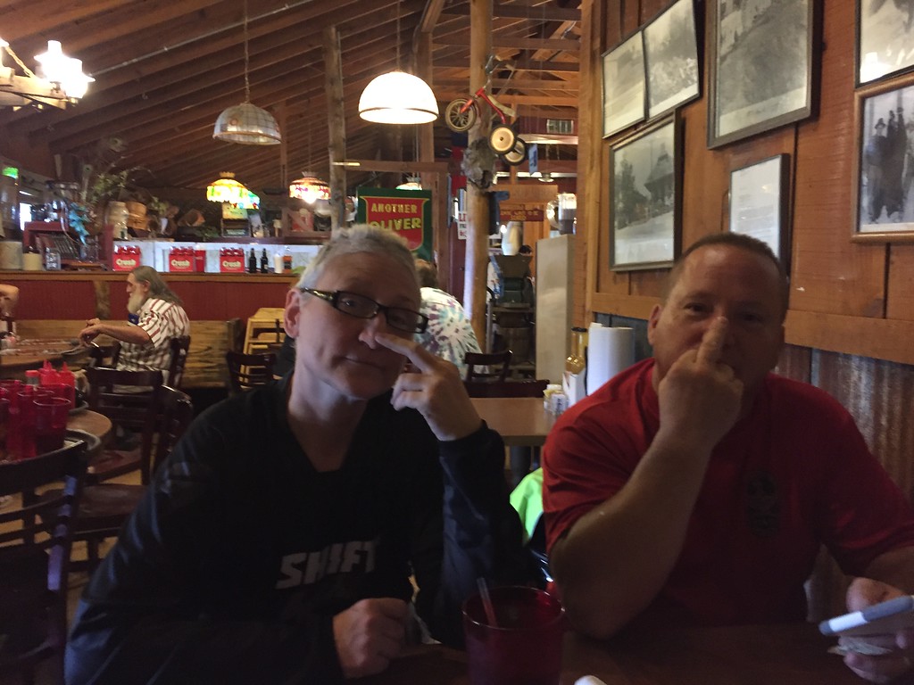
Lunch in Monteagle, TN. Bob and Lisa giving the official salute.

IMG_4316-XL.jpg


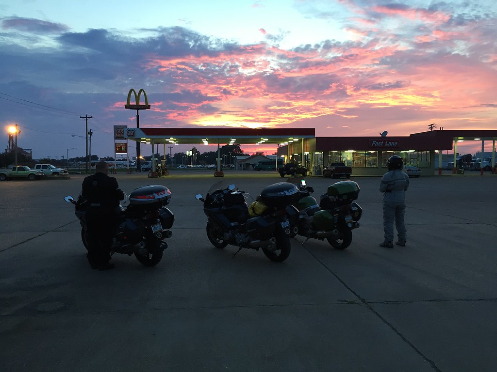
Somewhere around Wynne, AR on US64. Bob needed to change over to a clear visor before we continued to Searcy...this was our longest travel day on the way out 660+ miles. I like this pic.

IMG_4319-XL.jpg


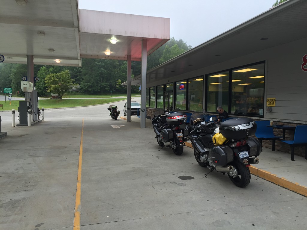
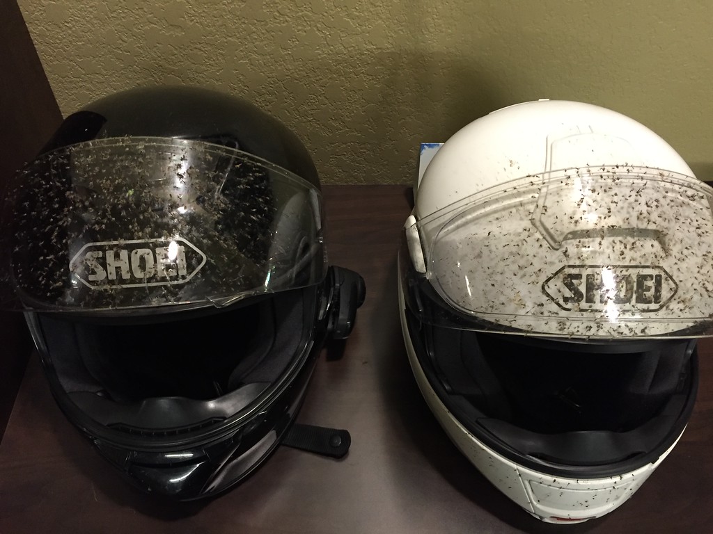
From the photo above to Searcy, AR, the bugs from the farm fields were bad....almost like driving through snowfall at night.

IMG_4324-XL.jpg


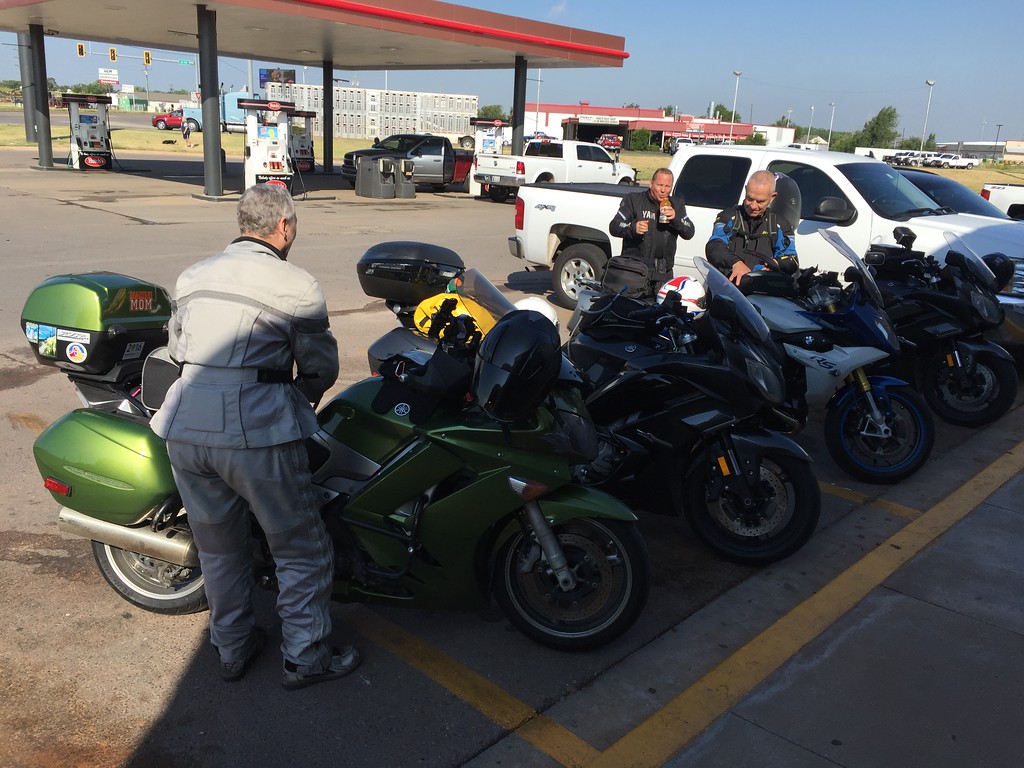
We met Petey in Stillwater and headed for the panhandle. We're a bit west of Woodward, OK here.

IMG_4337-XL.jpg


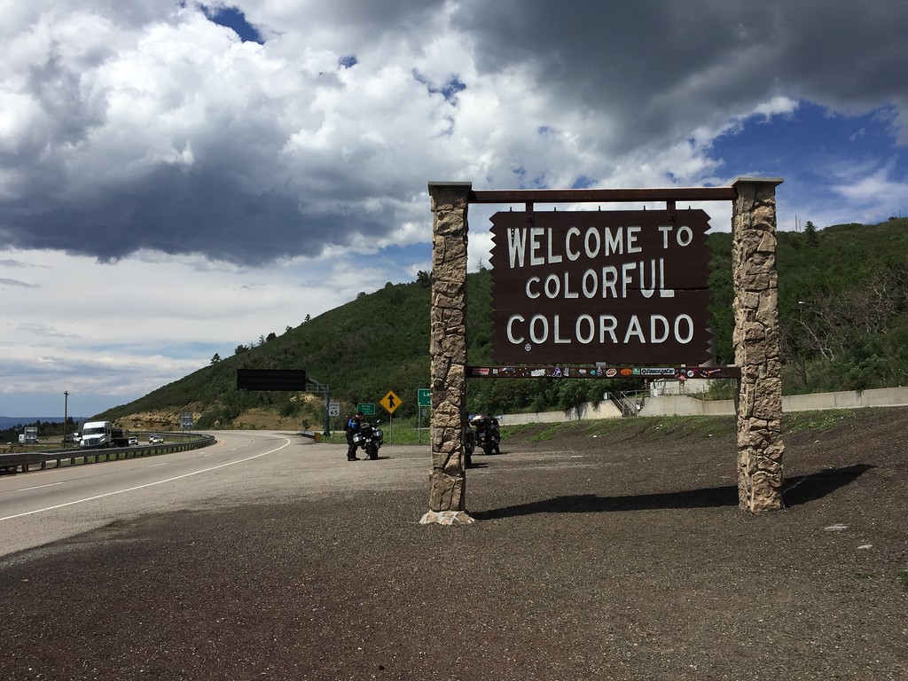
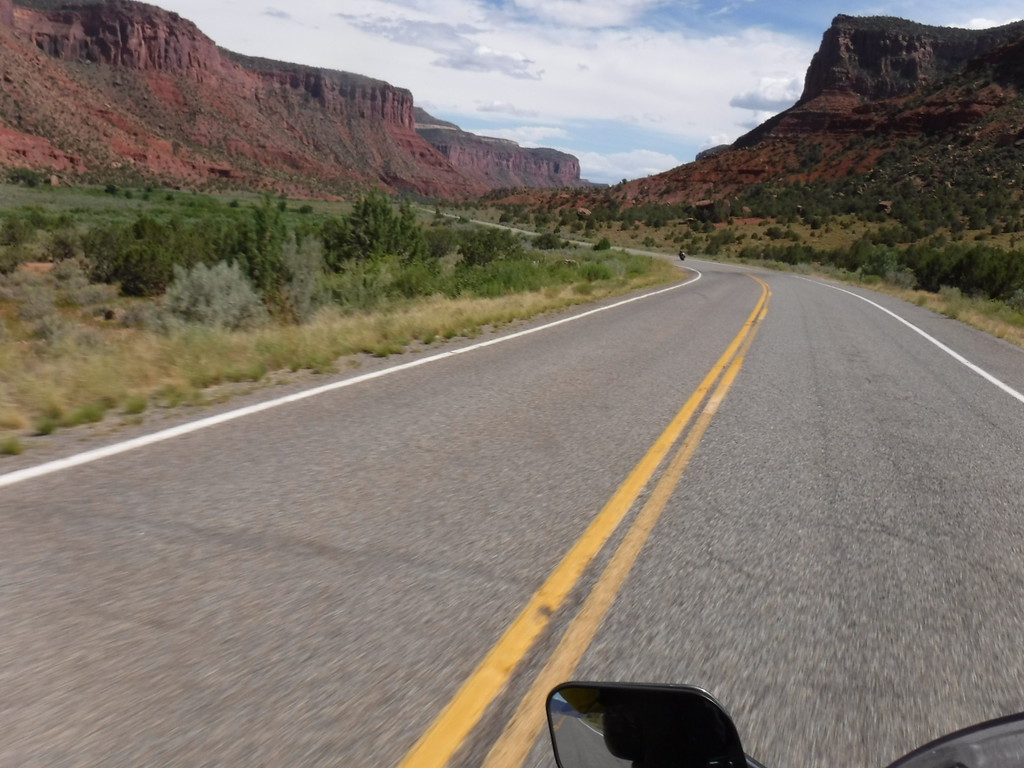
We turned up here and fulfilled a tradition... (south of Trinidad, CO).

IMG_4342-XL.jpg


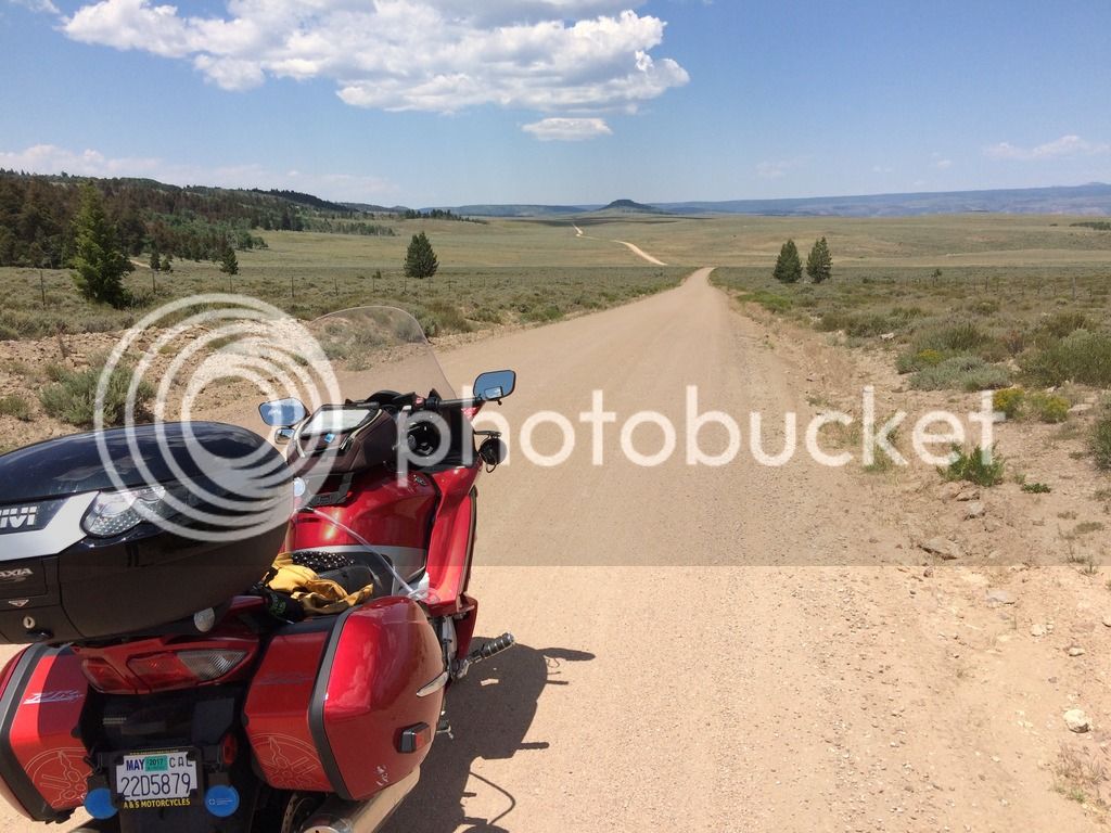
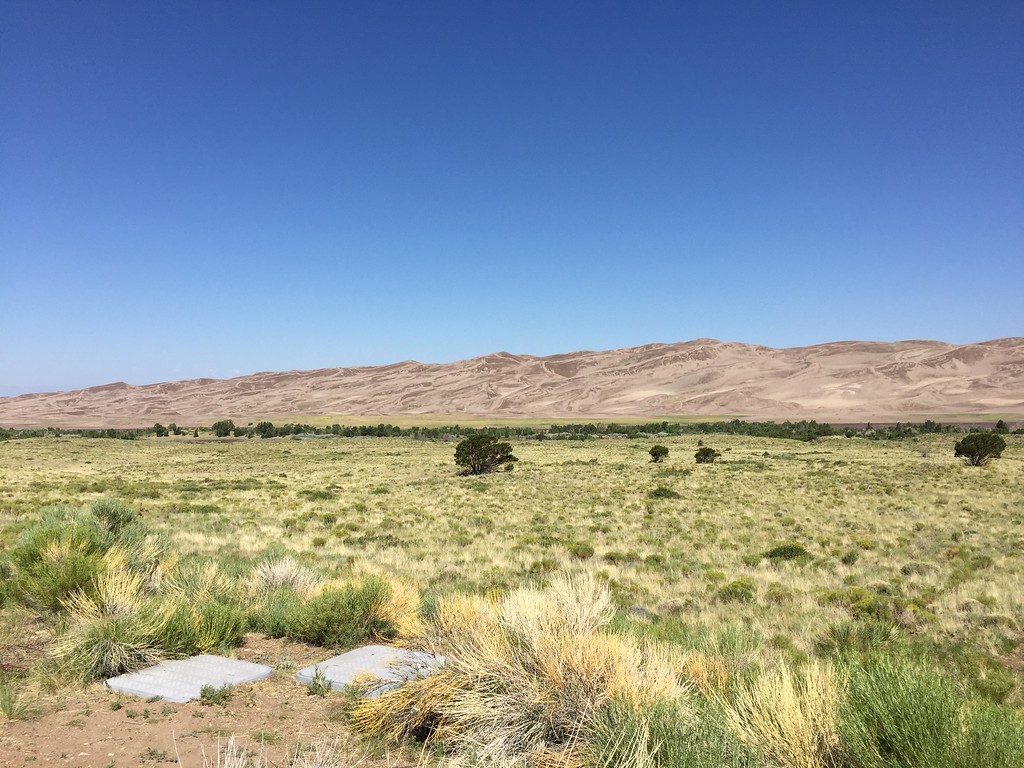
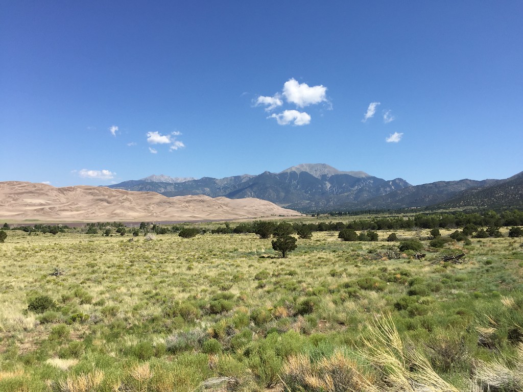
On CO12, heading for the Great Sand Dunes National Park:

IMG_4355-XL.jpg


And the dunes...

IMG_4362-XL.jpg


IMG_4363-XL.jpg


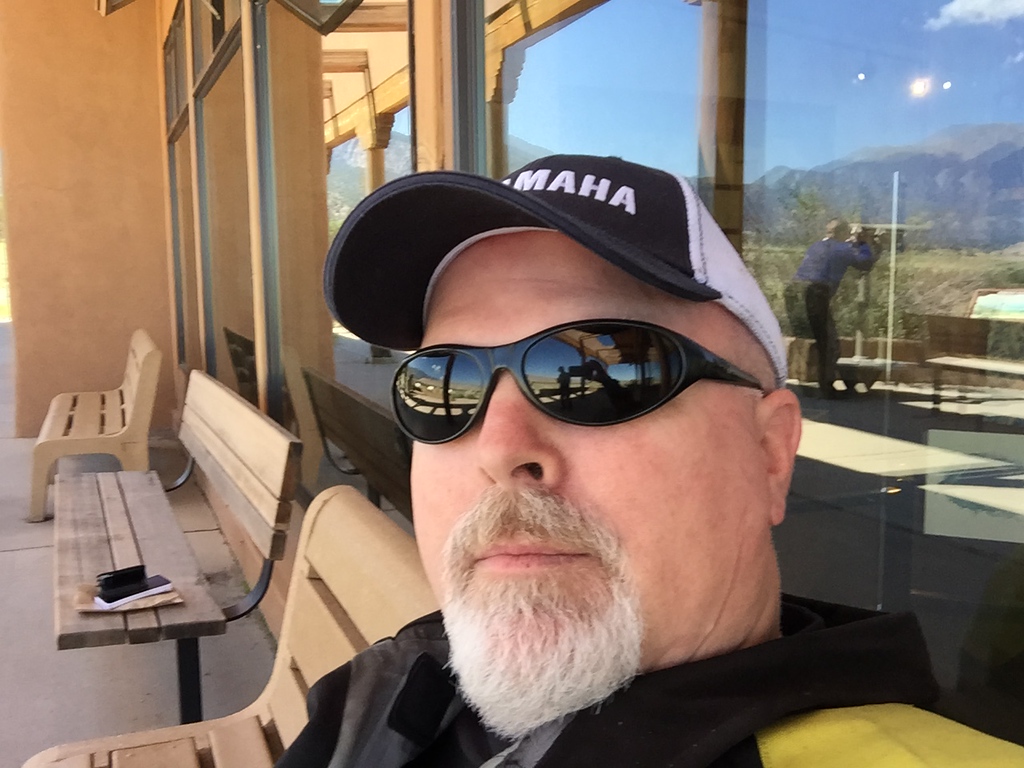
I relax while Bob tries to use the telescope (see reflection).

IMG_4364-XL.jpg


Our little group minus Lisa, who's taking the shot. Lunch in Alamosa.

IMG_4365-XL.jpg


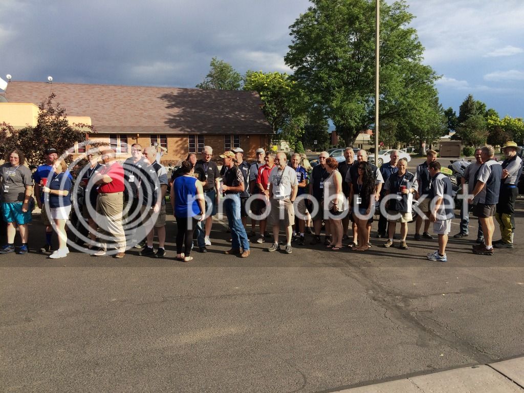
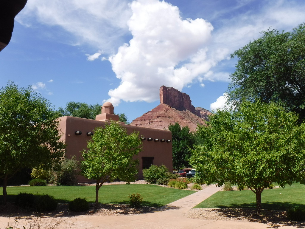
A Wednesday late afternoon arrival in Montrose...

IMG_4369-XL.jpg


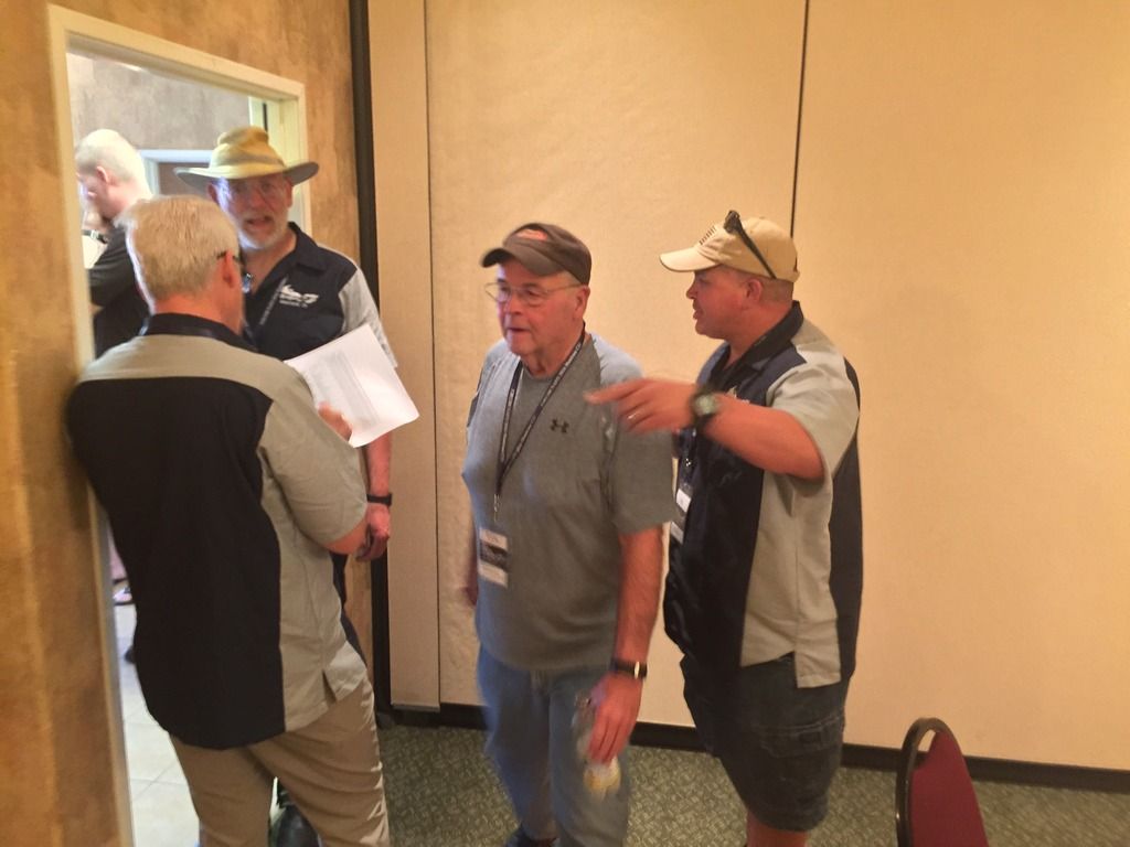
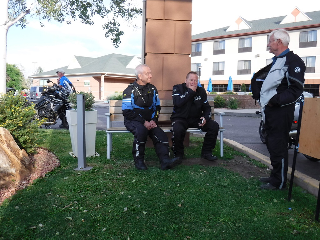
Tyler's arrival....Bob was waiting.

IMG_4373-XL.jpg


Serious talk...surely.

IMG_4437-XL.jpg


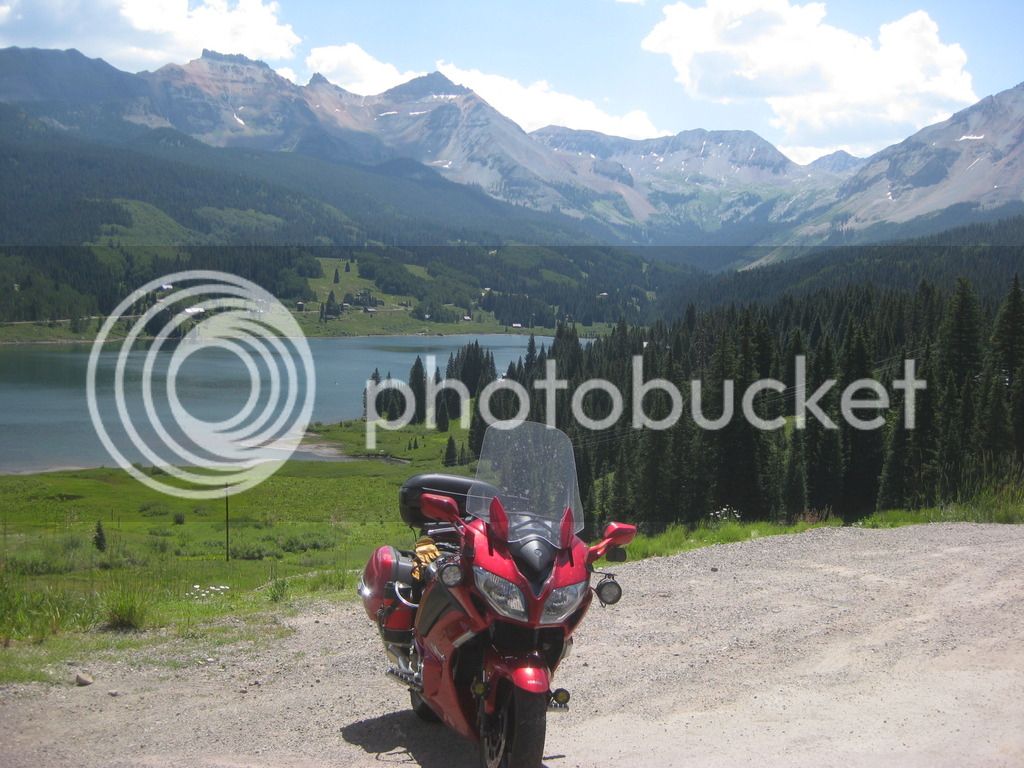
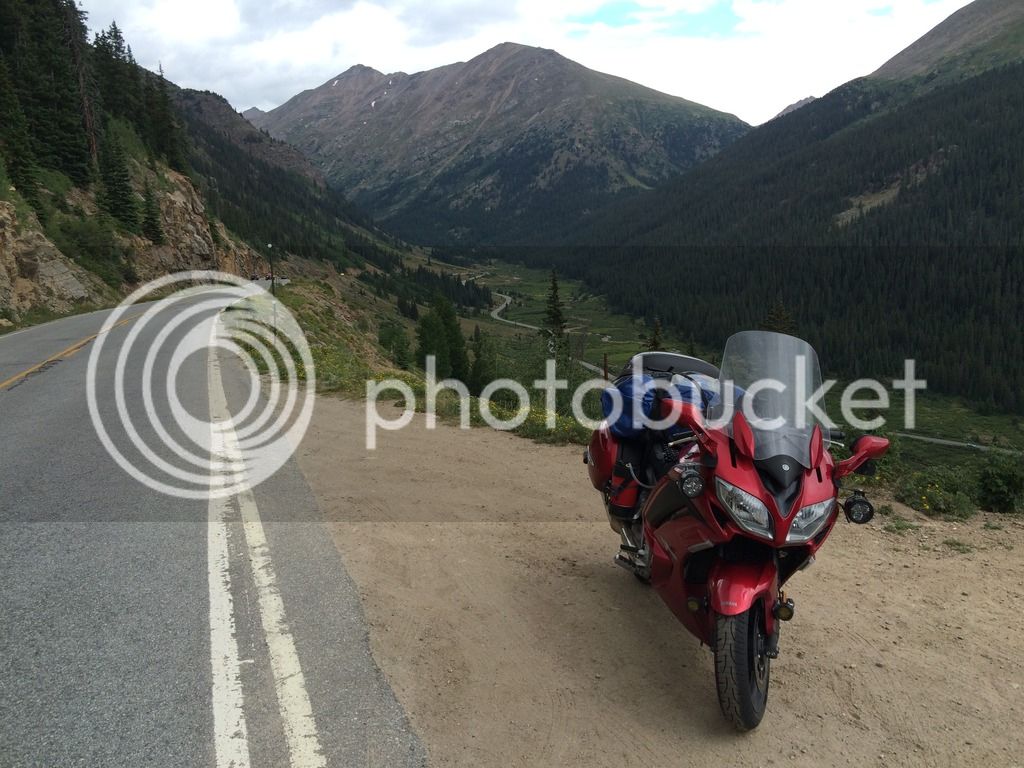
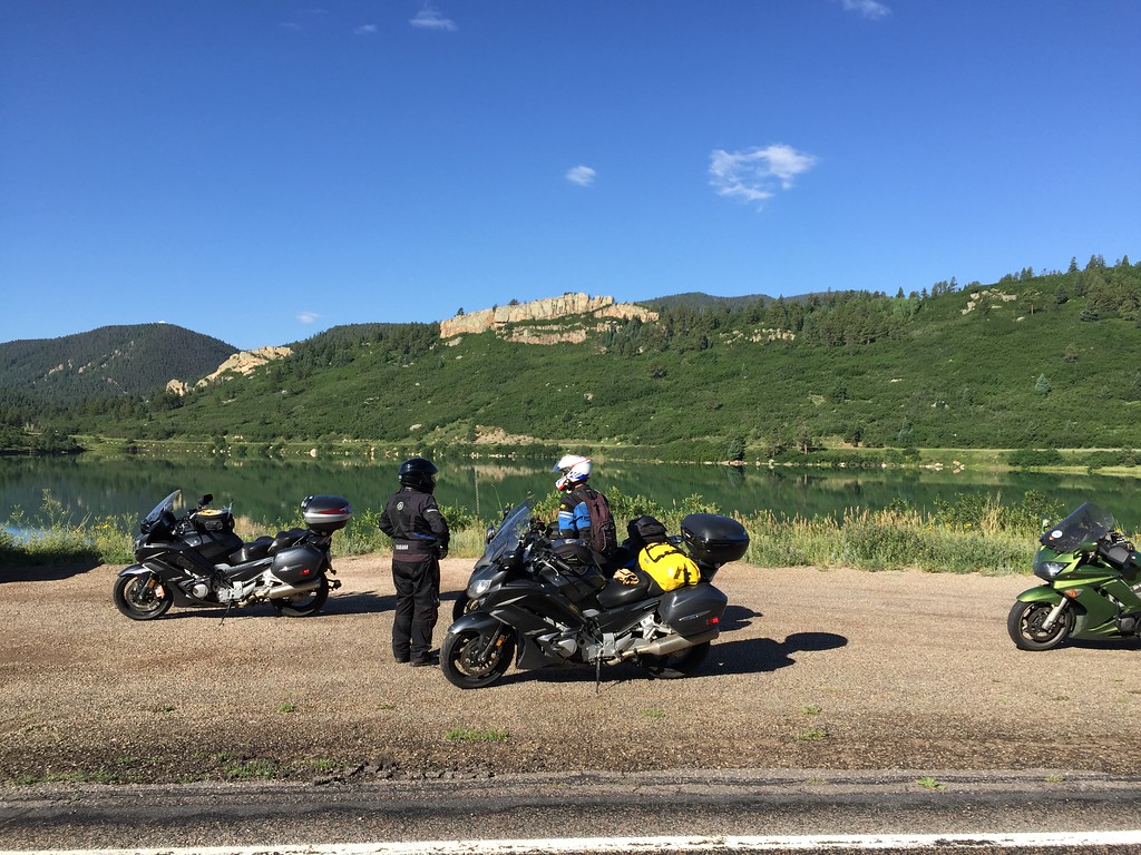
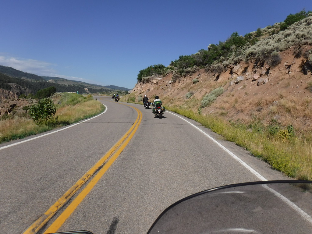
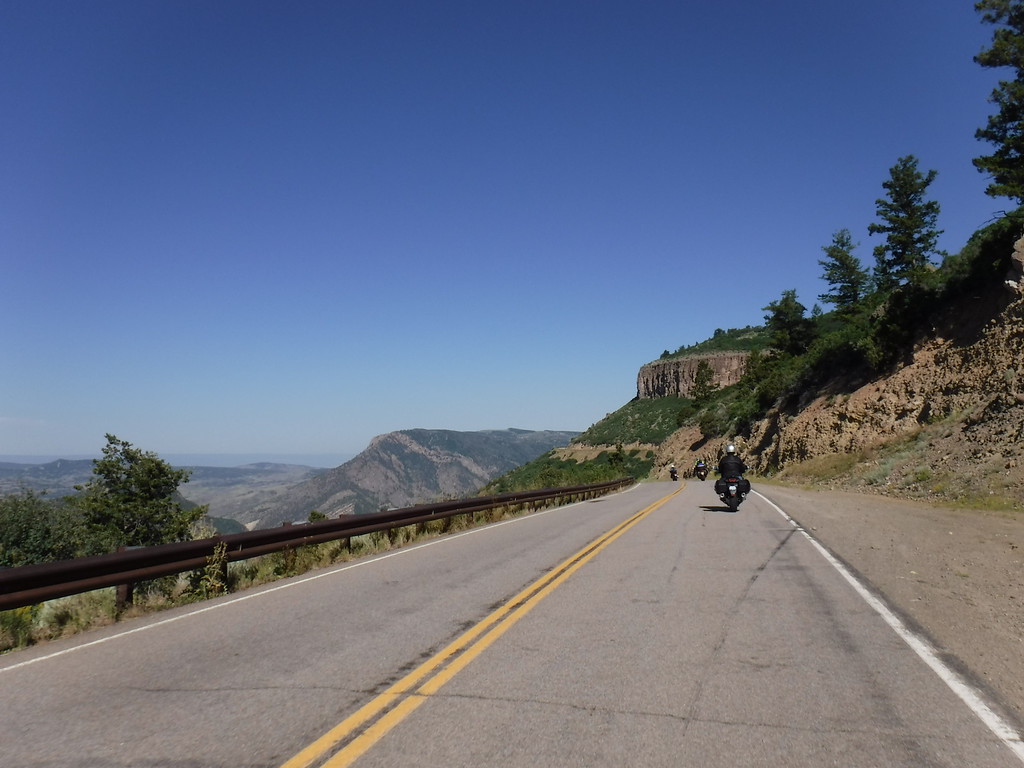
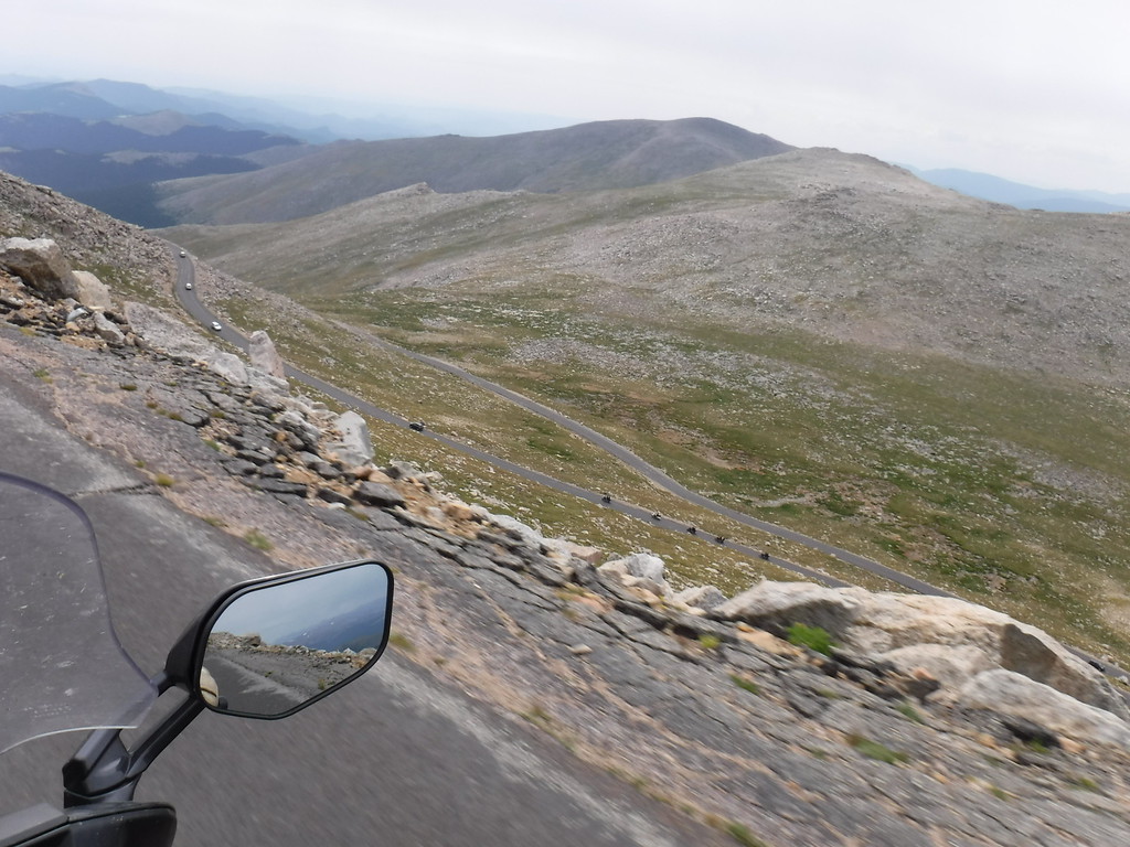
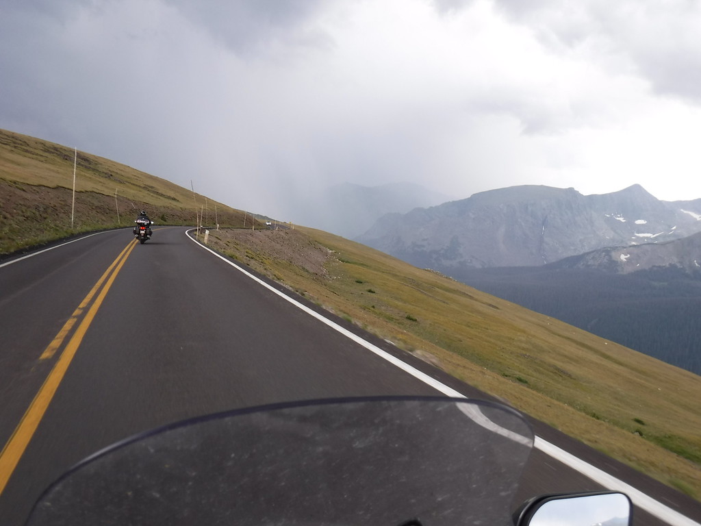
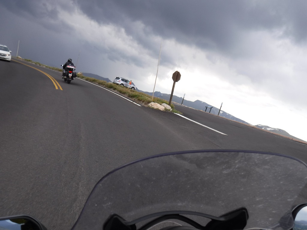
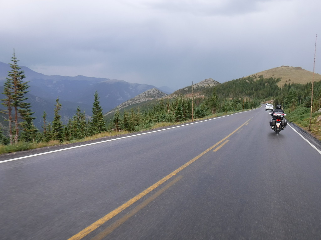
Going up CO92 from the reservoir.

IMG_4446-XL.jpg


IMG_4456-XL.jpg


IMG_4470-XL.jpg


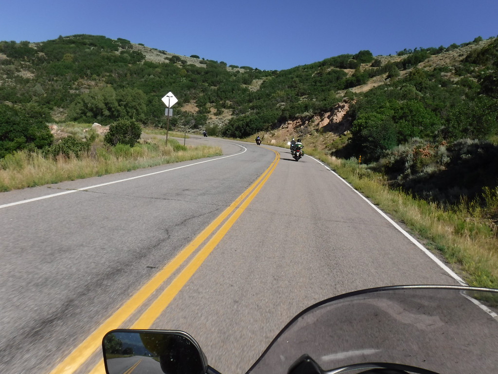
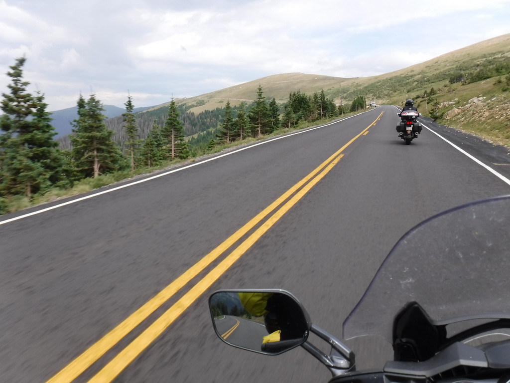
92 is probably one of my favorite roads in CO...the evidence is clear.

IMG_4479-XL.jpg


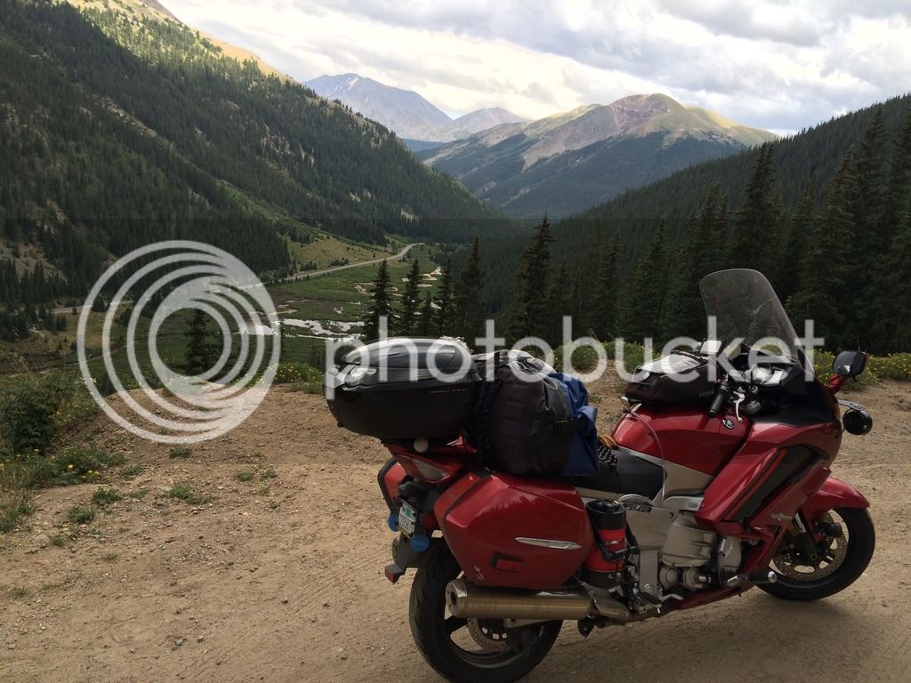
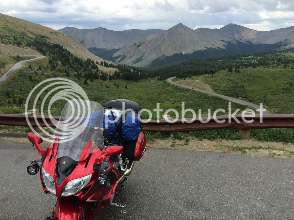
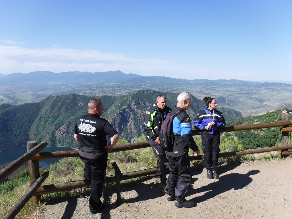
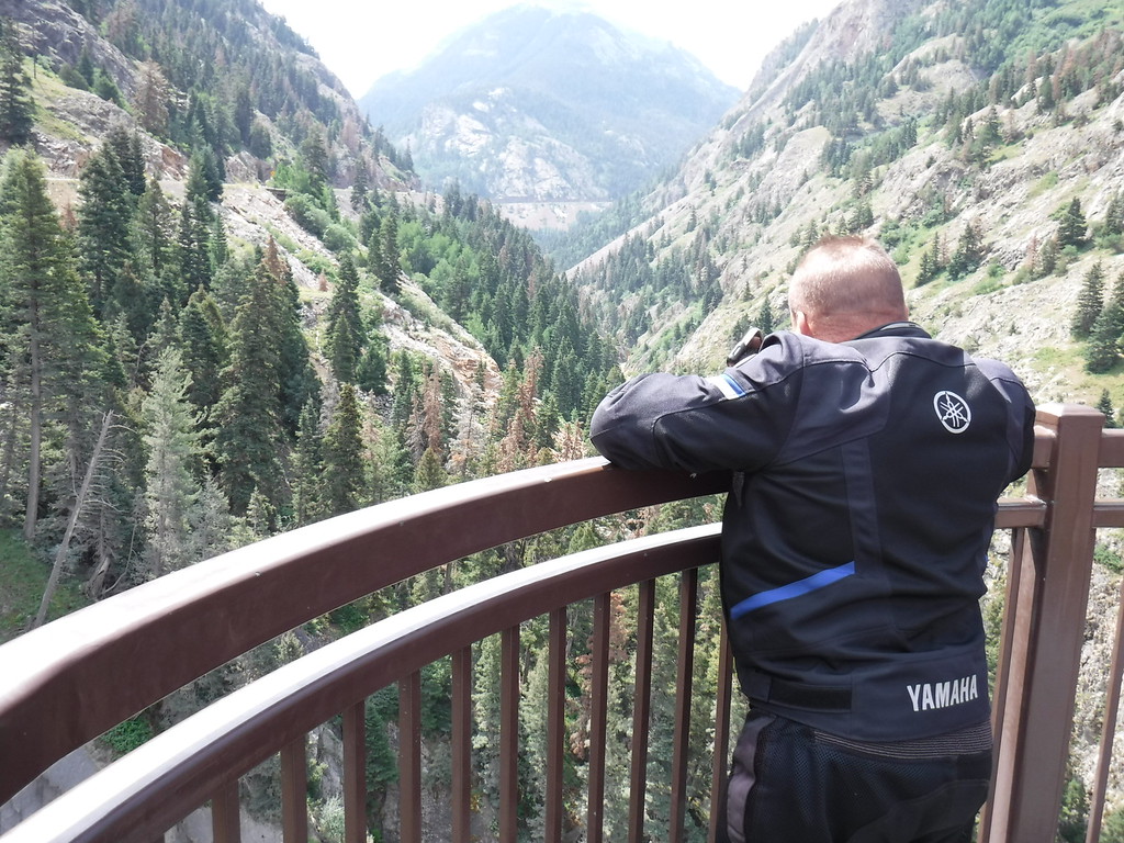
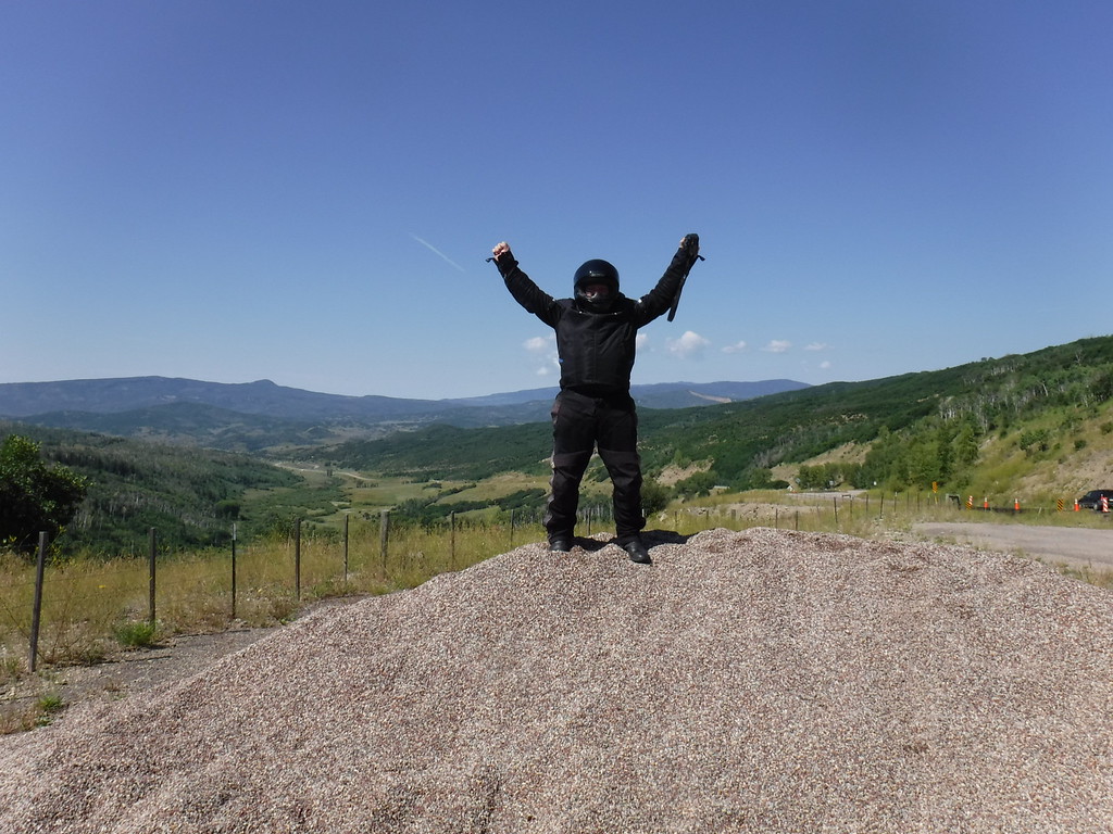
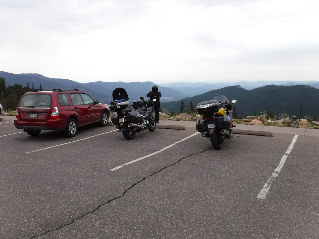
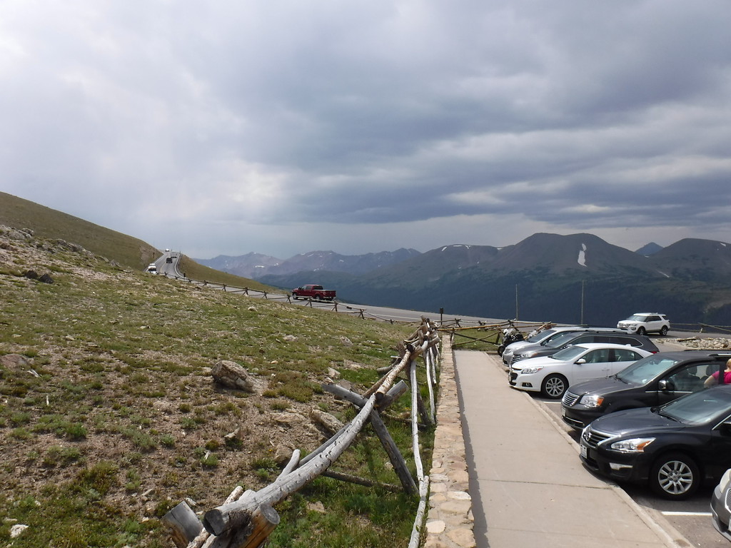
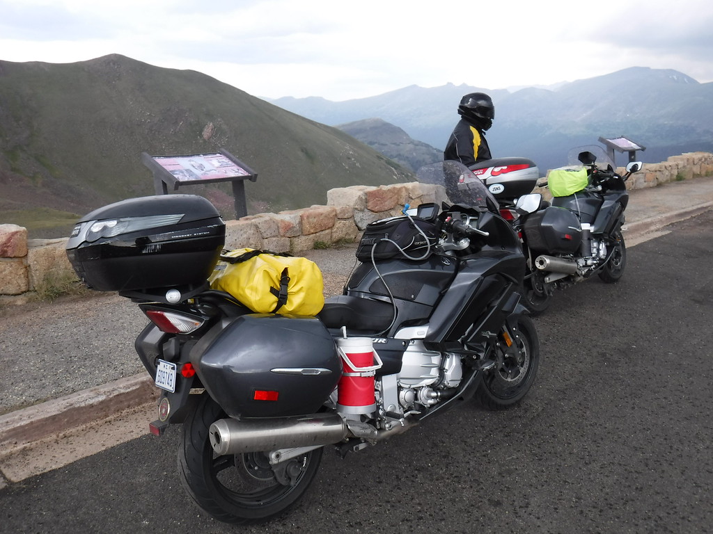
Taking in the sights at the overlook...

IMG_4487-XL.jpg


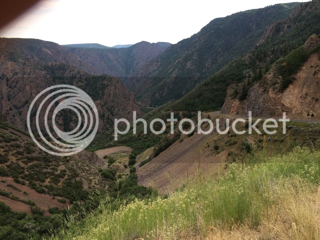
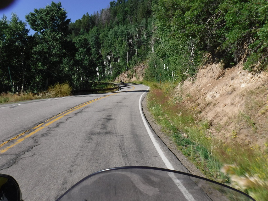
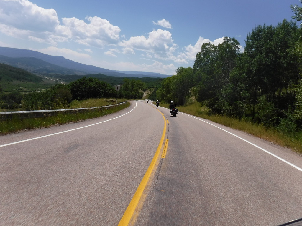
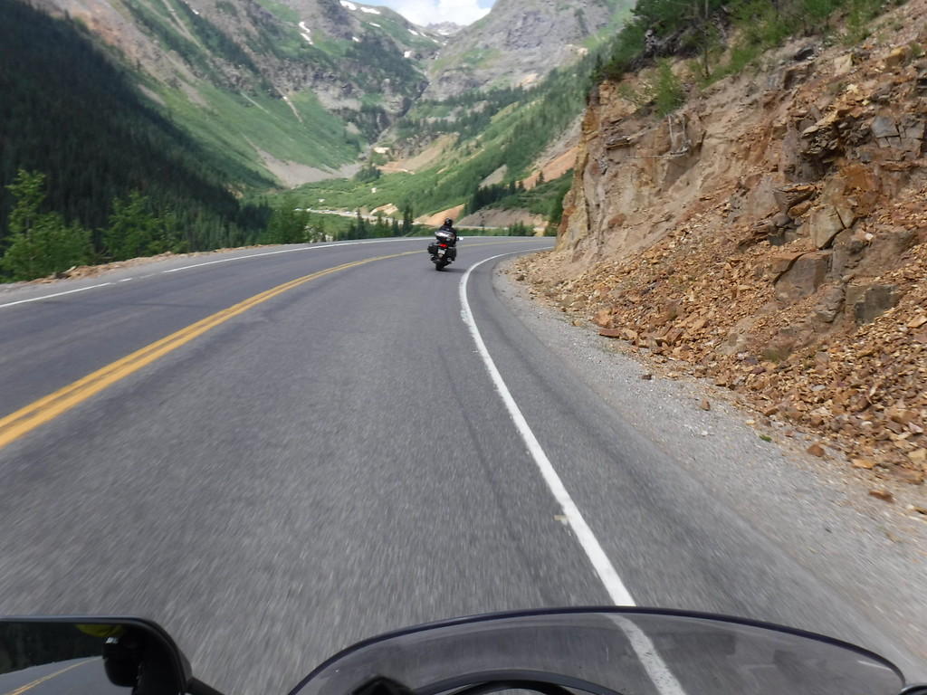
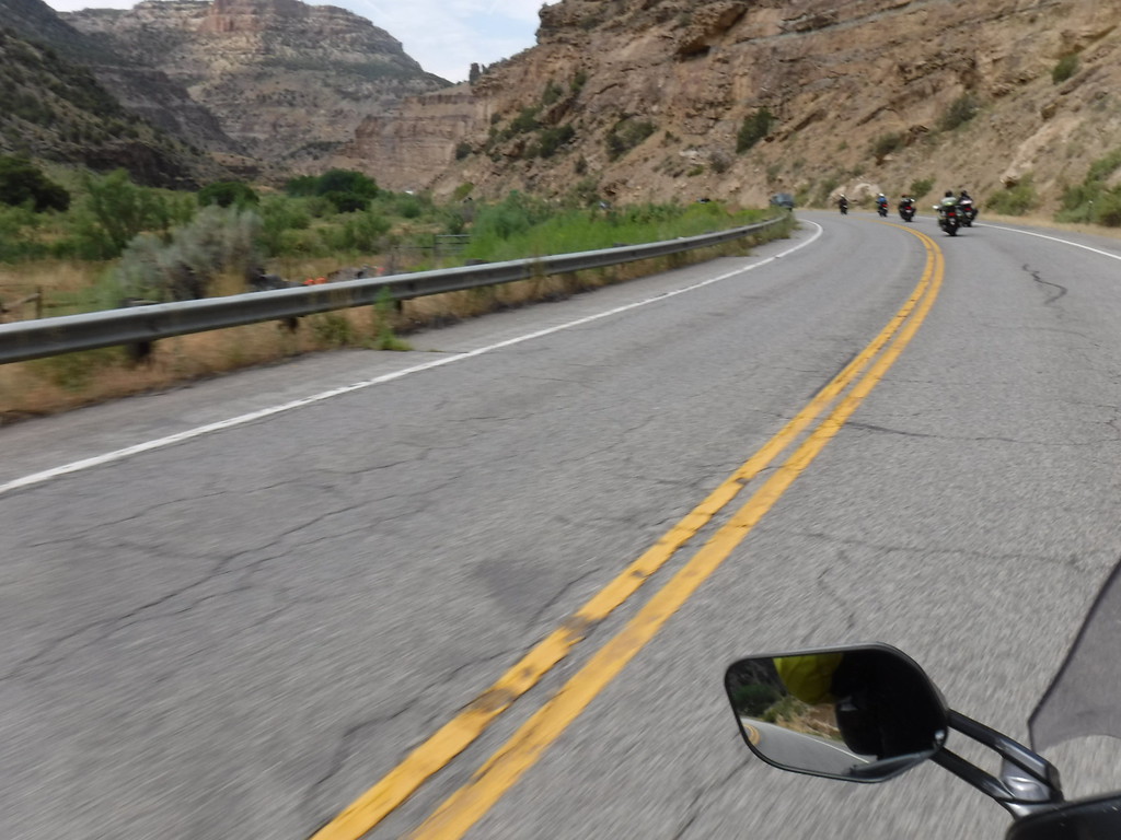
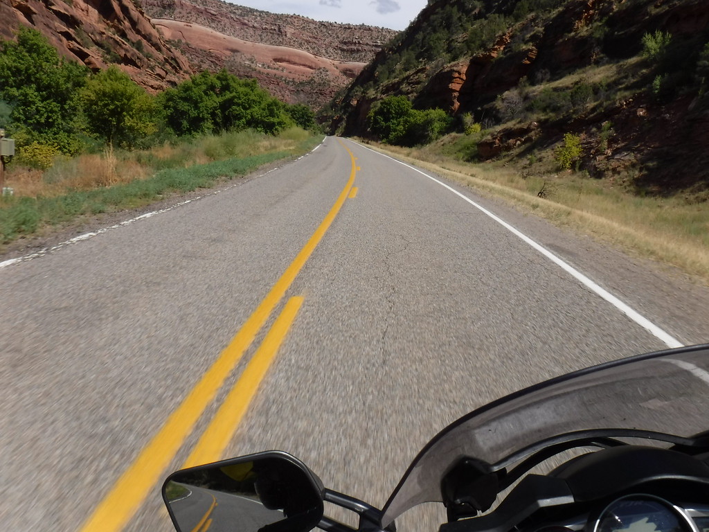
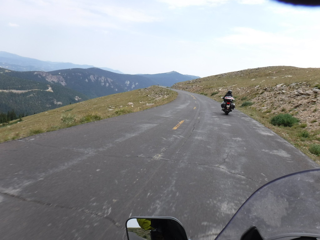
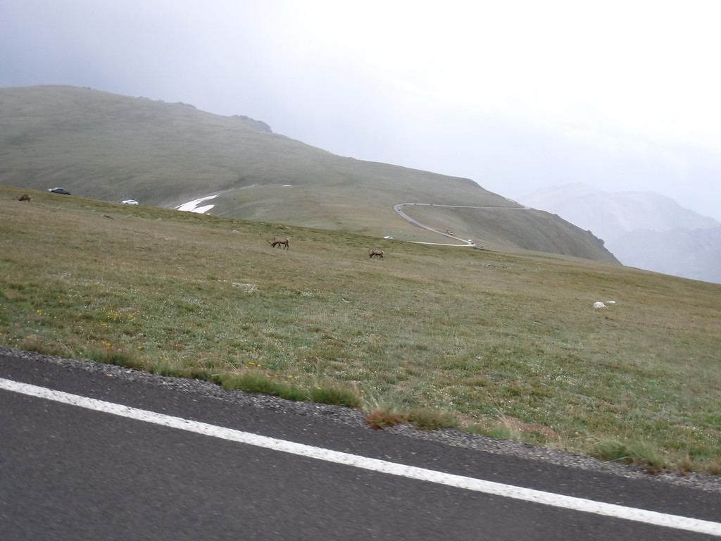
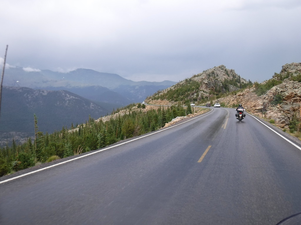
This is probably 133, running down the McClure Pass

IMG_4541-XL.jpg


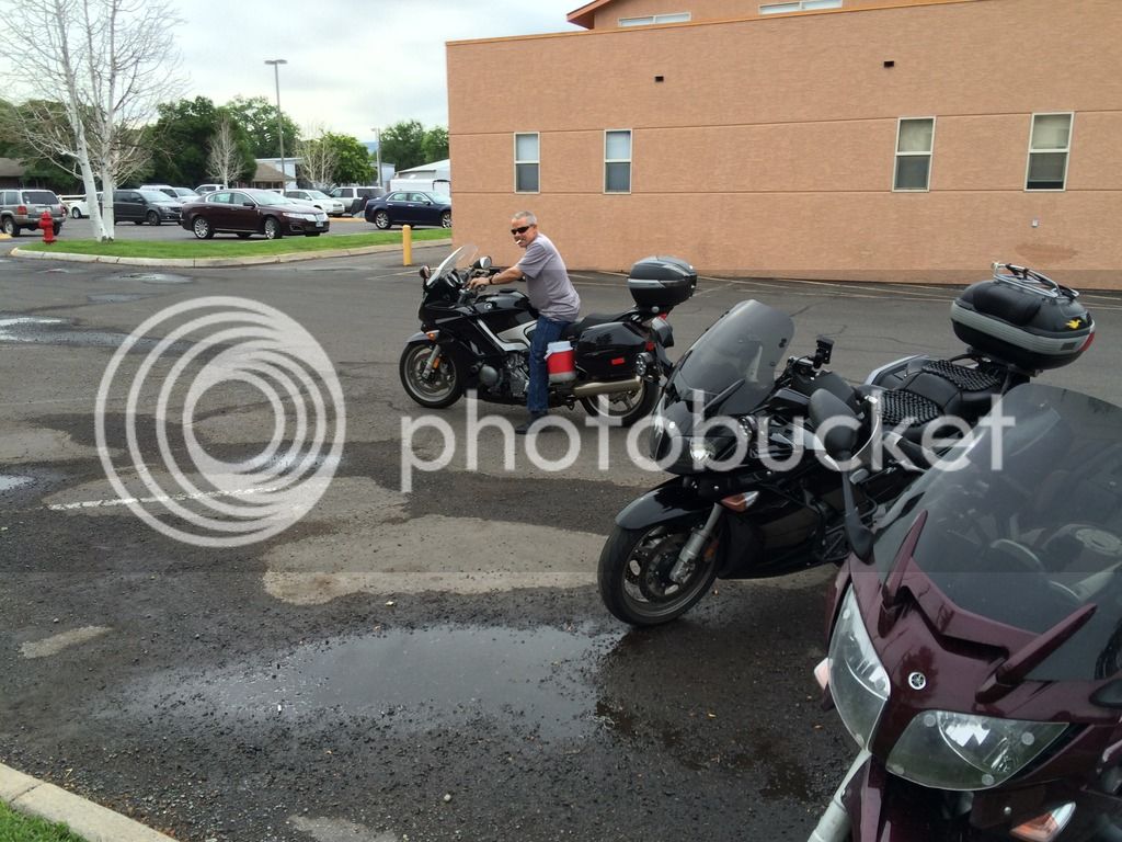
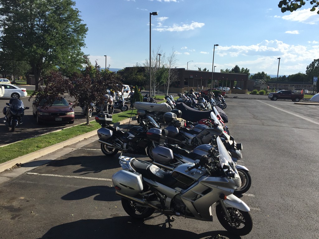
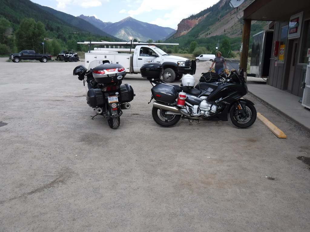
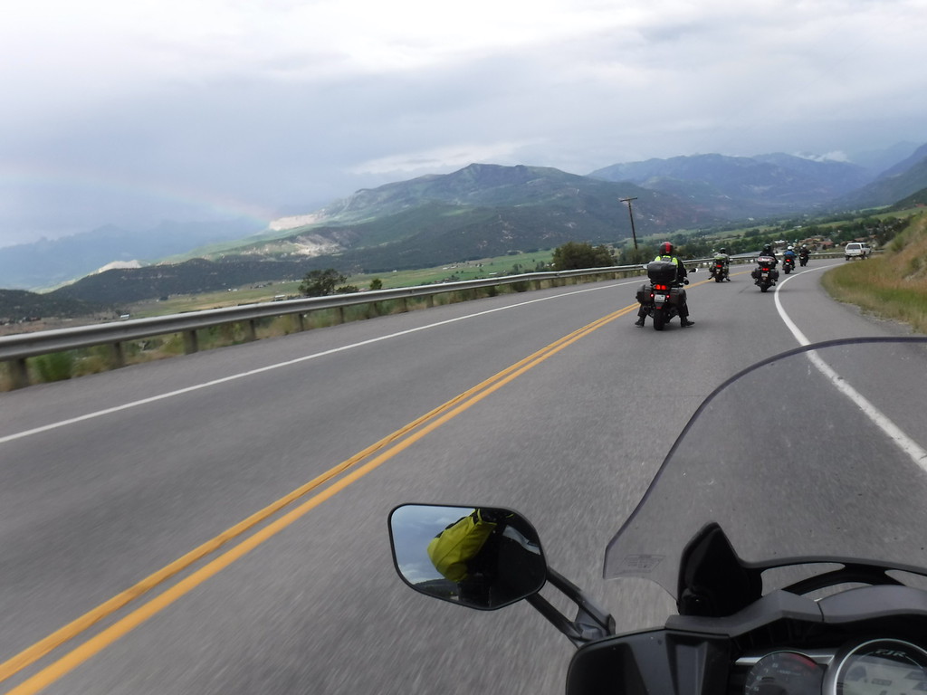
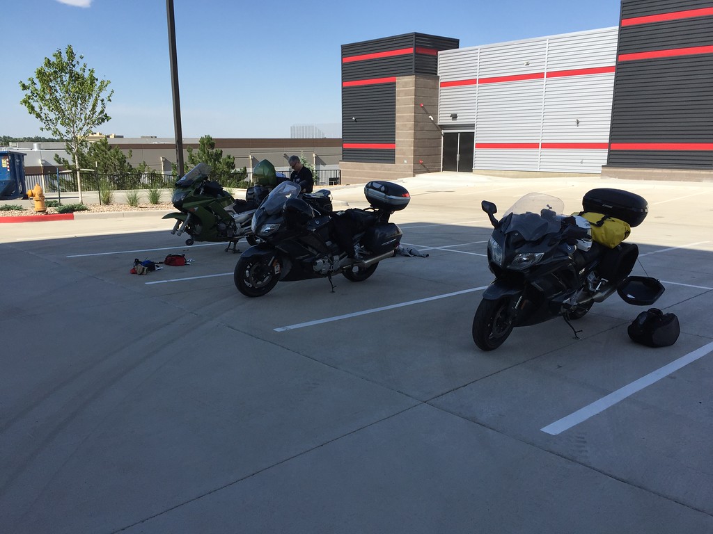
FJR's finally squeeze out the cages in the front row.

IMG_4545-XL.jpg


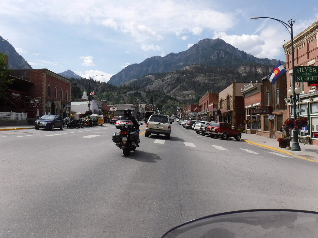
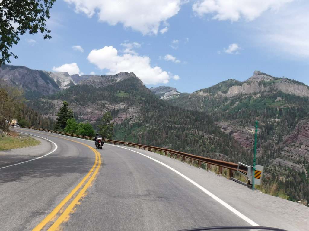
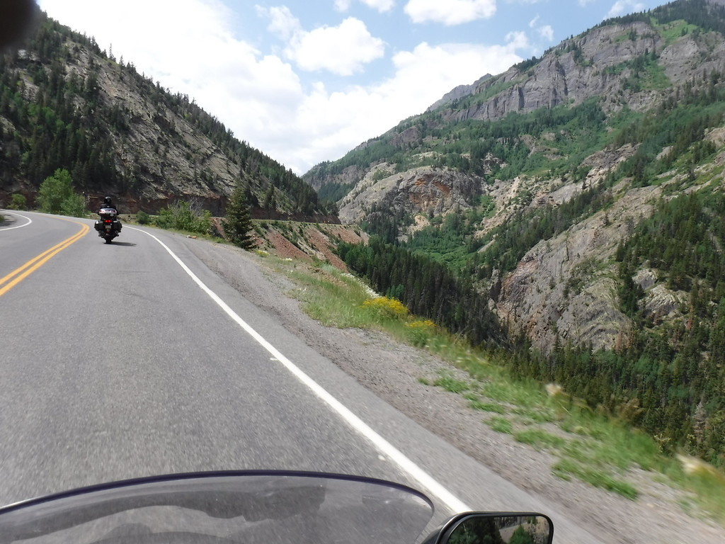
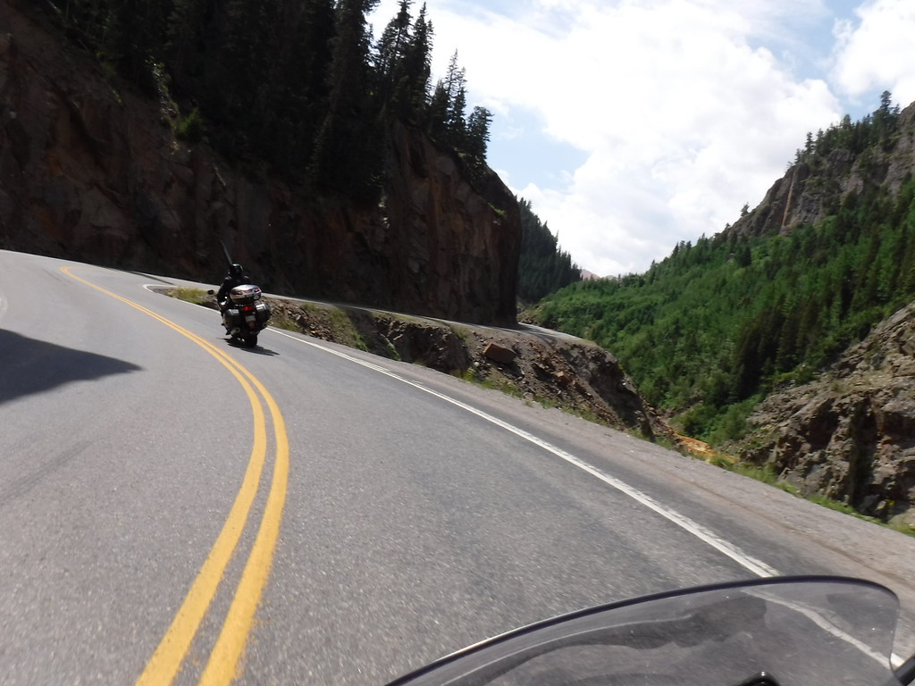
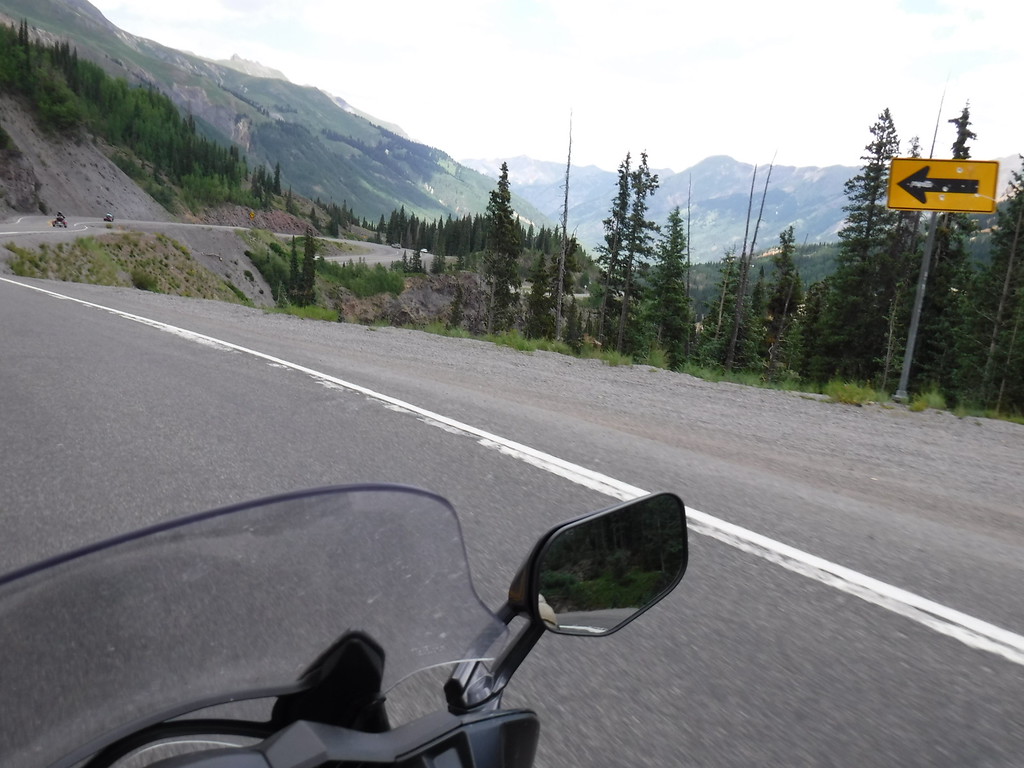
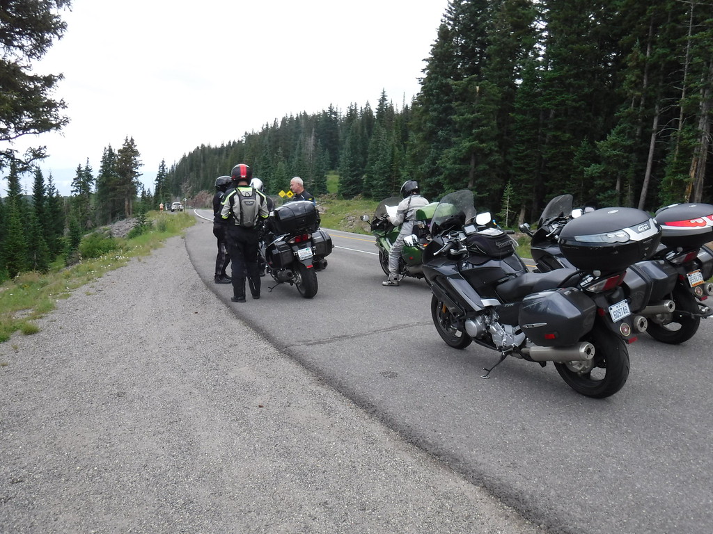
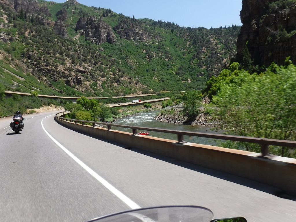
Bob and I ventured down 550 and the Million Dollar Highway. Here's Ouray...the views....

IMG_4594-XL.jpg


IMG_4601-XL.jpg


It's a long way down Bob...

IMG_4615-XL.jpg


IMG_4613-XL.jpg


IMG_4621-XL.jpg


IMG_4632-XL.jpg


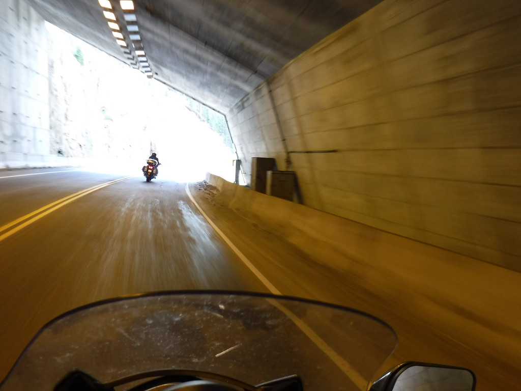
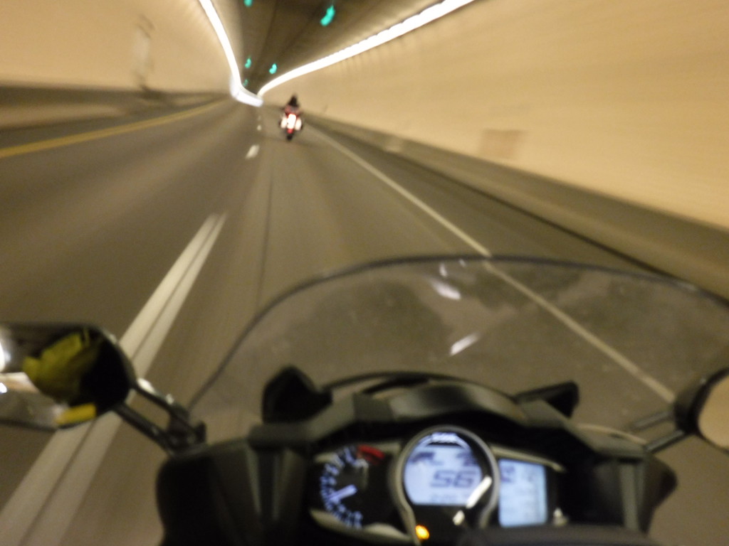
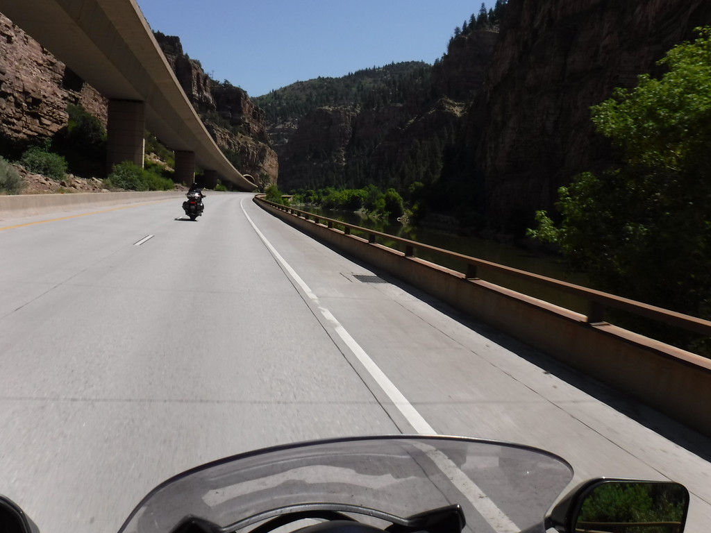
Avalanche tunnel on 550.

IMG_4636-XL.jpg


IMG_4644-XL.jpg


IMG_4673-XL.jpg


In Silverton at the junction, looking north. We turned around and headed back north thanks to a nasty looking storm creeping onto the southern portion (hail).

IMG_4691-XL.jpg


IMG_4705-XL.jpg


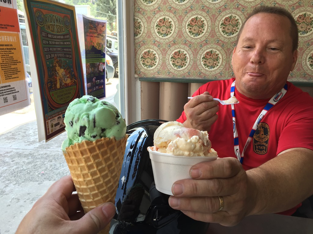
Bob and I enjoy some ice cream in Ouray on the way back to Montrose.

IMG_4555-XL.jpg


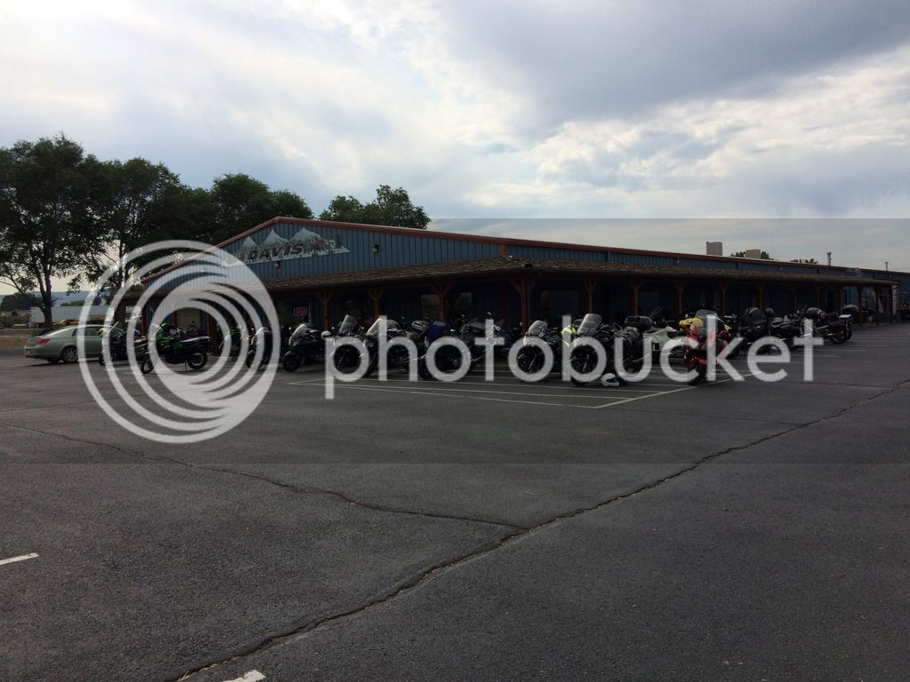
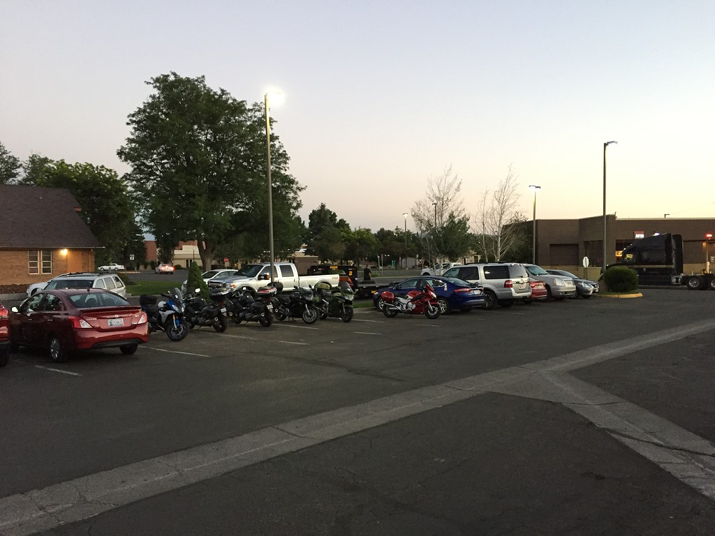
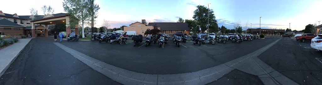
The very last NAFO guest to show up...big and slow.

IMG_4556-XL.jpg


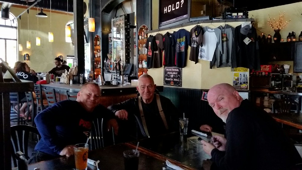
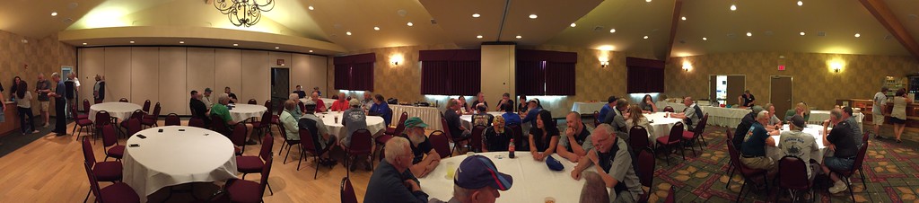
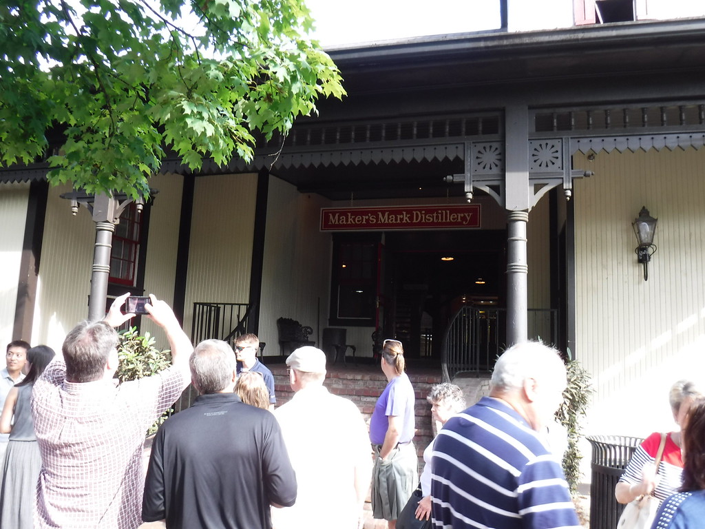
The banquet was filling up...

IMG_4770-XL.jpg


IMG_4771-XL.jpg


Last edited by a moderator:
Part 2

Running on Grand Mesa
IMG_4826-XL.jpg


Then on to the spectacular 141...
IMG_4860-XL.jpg


We made a stop on 141 at the Gateway Auto Museum...
IMG_4778-XL.jpg


IMG_4780-XL.jpg


$3.24 million car...
IMG_4799-XL.jpg


IMG_4800-XL.jpg


IMG_4808-XL.jpg


Then back to 141 business...
IMG_4916-XL.jpg


IMG_4931-XL.jpg


And some weather on 141.
IMG_4966-XL.jpg


Marty cooling his heels.
IMG_4987-XL.jpg


We left Montrose on Monday and headed up 133 to reach I-70; Bob had some fun going up McClure Pass...
IMG_5007-XL.jpg


Probably one of the prettiest interstates in the country...I-70 through Glenwood Canyon.
IMG_5011-XL.jpg


Tunnel fun (not Eisenhower).
IMG_5020-XL.jpg


IMG_5026-XL.jpg


Lisa's bike had a nearly bald front tire...on a Monday. We had to cancel our Mt. Evans plans for the day and head to Denver to find a place that was open. Hot, rush hour, but a nice store.
IMG_4994-XL.jpg


After the tire change, we headed back up to the mountains to my hometown of Winter Park...made it just before dark.
IMG_4995-XL.jpg


The next day, Lisa splits to go do some business in Denver while Bob and I get our chance to hit Mt. Evans. Stopping off before the gate...
DSCF0610-XL.jpg


I like the bird I caught.

DSCF0619-XL.jpg


DSCF0627-XL.jpg


Bob and his fabulous selfie stick at 14,130'.
DSCF0643-XL.jpg


I like the upgraded sign; it used to be a crappy little board painted brown with yellow letters.
DSCF0648-XL.jpg


Going down...
DSCF0653-XL.jpg


DSCF0666-XL.jpg


Bob and I swung back towards Winter Park and Rocky Mountain National Park to get back on track after the Denver tire trek, so we hit Berthoud Pass for the third time, stopping for a moment.
DSCF0676-XL.jpg


DSCF0677-XL.jpg


Rocky Mountain National Park
DSCF0689-XL.jpg


DSCF0692-XL.jpg


This elk must've really liked the tundra there....he just looked up and then continued eating.
DSCF0692-XL.jpg


DSCF0709-XL.jpg


Around this corner, to the left, was a storm working its way down the valley towards Estes Park...we "enjoyed" the tail end of it.
DSCF0703-XL.jpg


DSCF0718-XL.jpg


DSCF0713-XL.jpg


Sleet pellets can be seen...we waited a bit for the storm to move further down the valley and take its lightning with it.
DSCF0725-XL.jpg


Rolling again...then the elk are there.
DSCF0728-XL.jpg


Rain
DSCF0745-XL.jpg


Heading down, towards Estes Park.
DSCF0746-XL.jpg


DSCF0751-XL.jpg


After a couple days, we end up here...
DSCF0763-XL.jpg


And that's that; 550 miles or so from Maker's Mark, we were home...

 
Last edited by a moderator:
Wow...Burnspot, that is an AWESOME collection of photos!
Thanks!
biggrin.png


Until the day after we'd arrived in Montrose, I was limited to my iPhone when stopped. After running 141 the day after we arrived (supreme canyon running), I was driven to buy a Fuji Finepix at the local Walmart that I could throw on a lanyard...then went crazy.
wink.png


IMG_4544-L.jpg


Last edited by a moderator:
I rode thru RMNP on the way to Montrose and it was beautiful, but then so is most of Colorado that's located in the Rocky Mountains. Thanks for sharing your photos of RMNP and the rest of your trip.

 
Top