Name That Place Game

Yamaha FJR Motorcycle Forum

Help Support Yamaha FJR Motorcycle Forum:

This site may earn a commission from merchant affiliate links, including eBay, Amazon, and others.
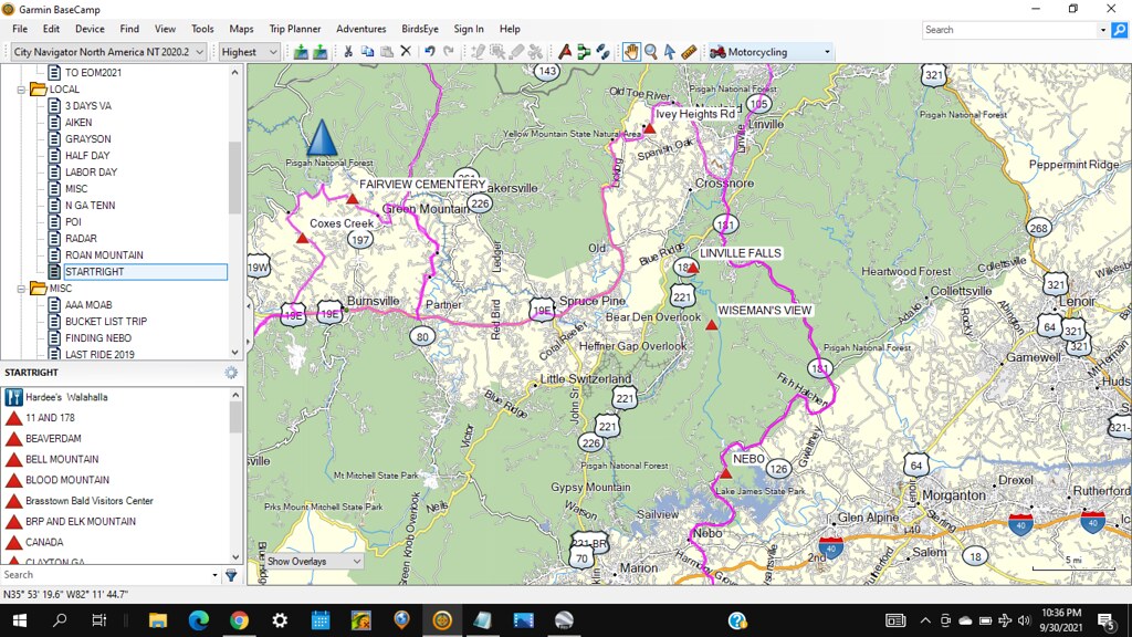
First time I went to this place I passed through a town that reminded me of a famous little fish.

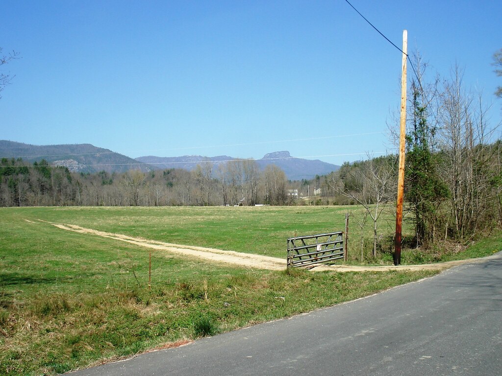
Later, passing by the birthplace of many unfamous little fishes, glimpses of the view that is to be guessed start to pop up.

25755311677_ec779bc0cc_b.jpg


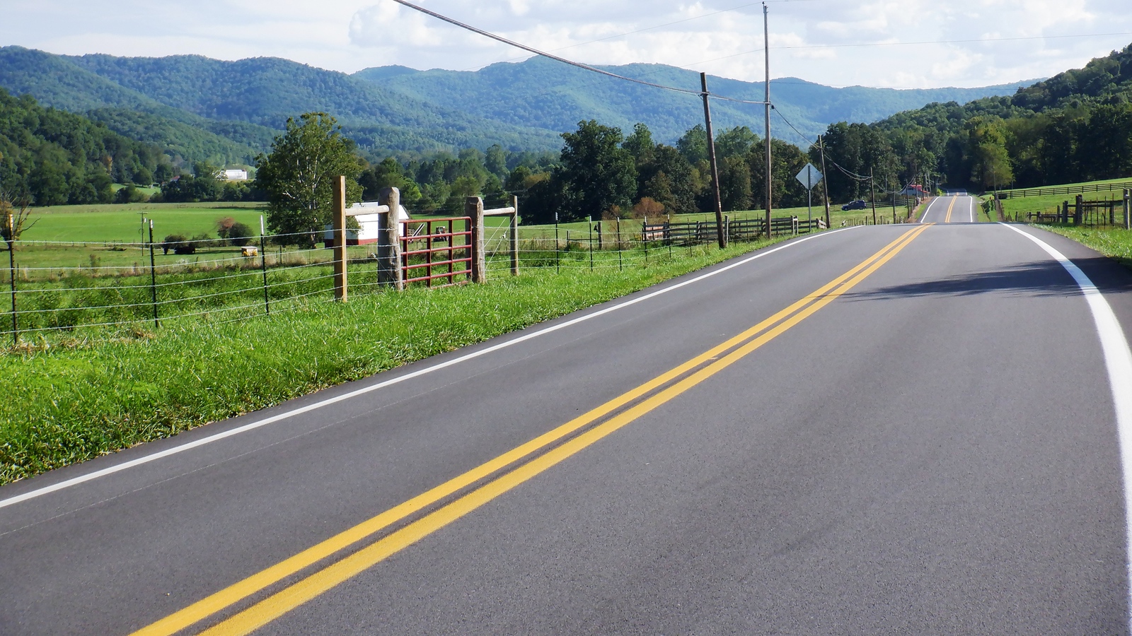
One of the roads we use getting to this place is one of my absolute grinin’ like a mule eatin’ briars all time favorites. Long uphill sweepers with passing lanes.

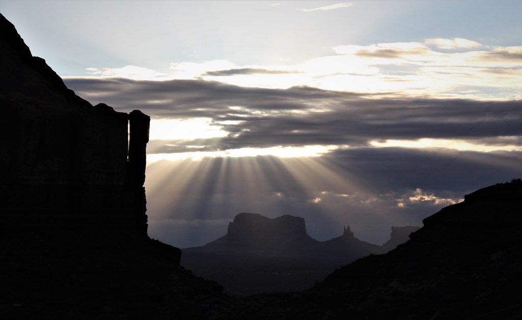
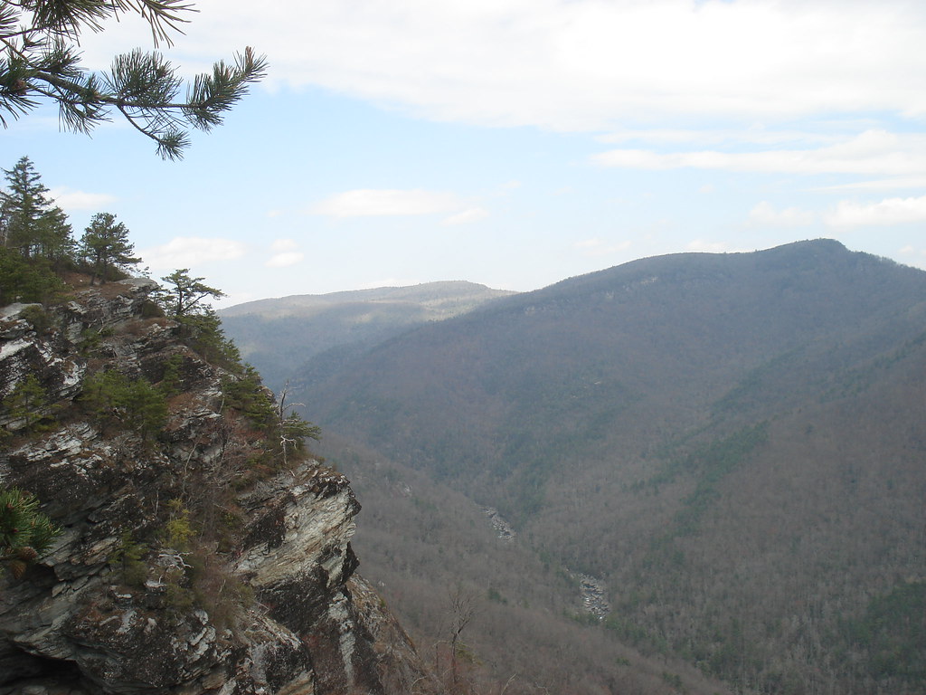
That rock again, over the FJR

26754315908_bbe777a32e_b.jpg


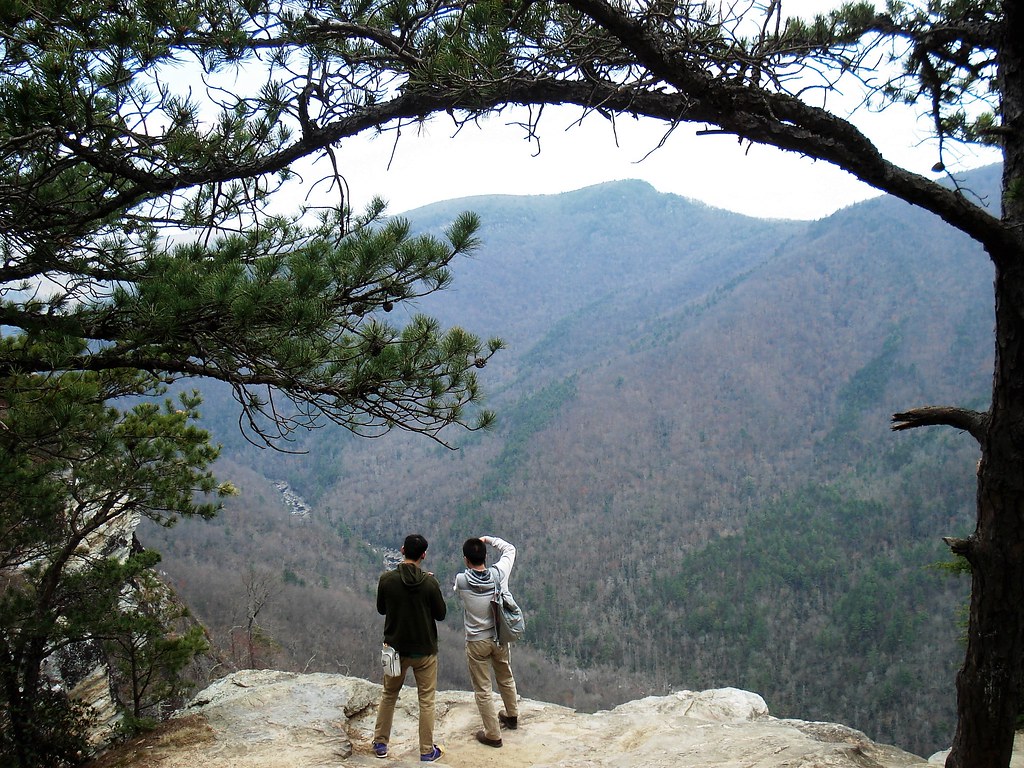
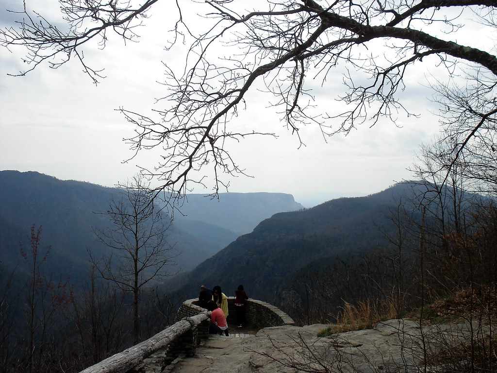
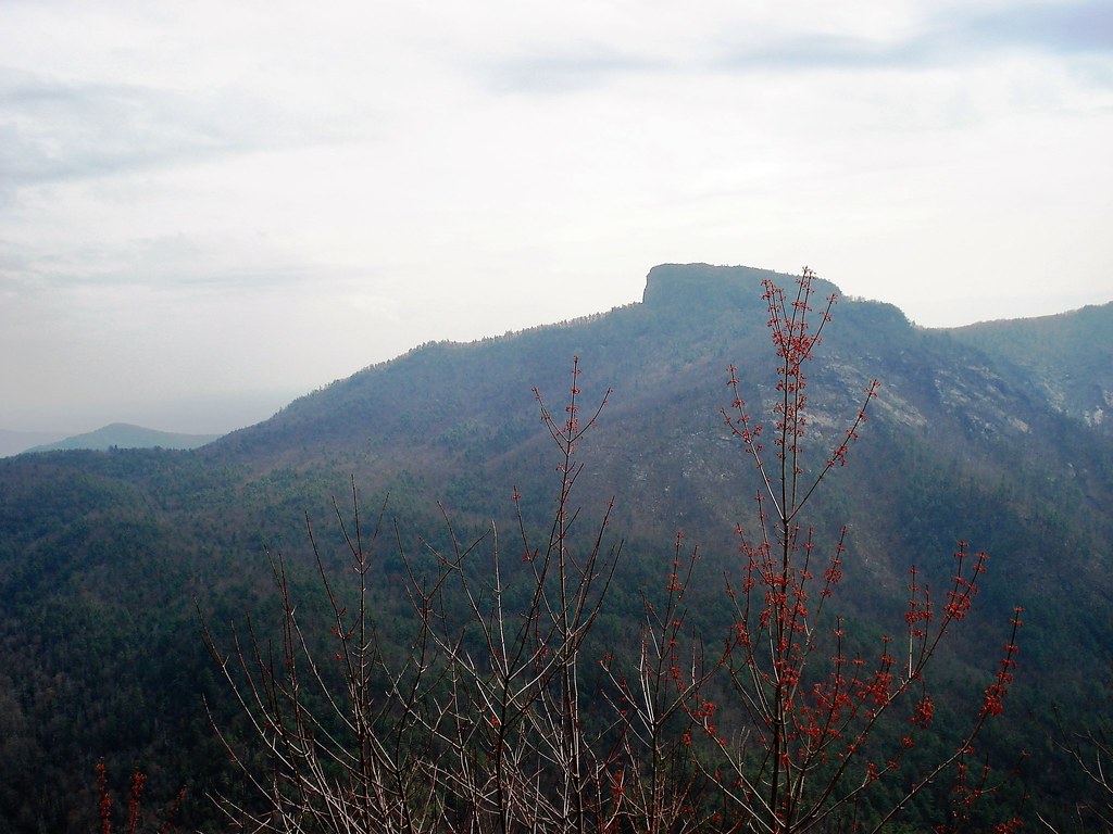
Looking around while here is not something for a dumb man.

26754321118_eb9f443536_b.jpg


26754320328_01bb94f73f_b.jpg


26754319348_4bab8d2691_b.jpg


26754318628_9c8b5e8073_b.jpg


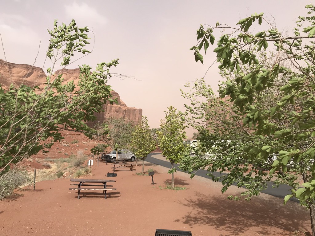
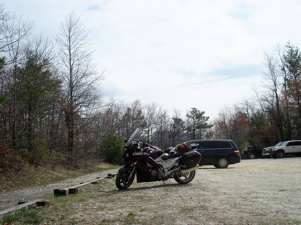
4 miles of gravel to get to Wayah Lookout according to Goodman4. What is it about the magic 4 miles of gravel. There is a great road that connects Caesars Head with Flat Rock that has a 4 mile stretch of gravel. Ride through Pensacola-a 4 mile stretch of gravel. Getting to this looking spot from the north requires covering, you guessed it, a 4 mile stretch of gravel (double that if you come from the south).

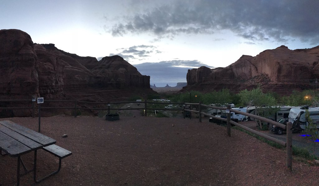
The last time we went by here was on a Craigslist quest that required more hauling capacity than the FJR. The dog said we could borrow his truck as long as we took him along. By then the camera and the color were a good bit better but the road had not improved.

https://player.vimeo.com/video/477451029?h=3243970428&app_id=122963


No nibbles. I know there is unpaved road getting to this place but I didn't think was that obscure. Many here have been all around this place. If the members with Adv or Dualsport bikes haven't-what a shame!

The area is nationally known for some "unexplained natural (or maybe unnatural) phenomenon". Just happens we recently caught an episode of one of those ghost hunter style shows that used the lookouts pictured (incorrectly) in search of the phenomenon. One of the most well known roads in the country passes within just a few miles.

 
Nearly 4 days without a nibble. I must SUCK at this game! I'm blowing the cover on this one and throwing out an easy one so as to put you all out of my misery.

Wiseman"s View

Good stuff starts to happen just north of Nebo NC. NC126 around Lake James. Fish Hatchery Road over to NC181 and then put your license at risk climbing up past the Brown Mountain Lights until you get to the BRP or NC183. At Linville Falls Old NC105 southward turns to gravel and takes you past Wiseman's View. Lots of fun stuff in the area. For knobbie drivers, tons of Forest Service roads and Brown Mountain OHV riding area.

51537951614_4b12735eb4_b.jpg


Hanging curveball

51292910136_cfc2e25b04_b.jpg


In my opinion, just because they don't guess it doesn't mean it's a bad place or clue. If it makes somebody want to go there it was a good one. On Wiseman's view I knew I hadn't been there. But when I tried to figure it out from clues, when I thought of the most famous road I stupidly didn't think of BRP even though I've done it many times. It looked more like the Breaks or that area to me, so it had me stumped. I still think it was a good one.

Your new one is a great picture of a very well-known place, but I won't guess because I'll be on the road in a week and won't be able to post. Actually I'll be in the state this pic is likely taken in but farther south.

 
Monument Valley it is!

 If we called looking at Monument Valley from Forest Gump Point the front side then this would be from the back side, Goulding’s Campground to be specific. I’ve wondered elsewhere if the show that the sun and clouds layed on us on this morning were nature’s way of making up for the previous day’s little tantrum. I don’t know how Jim Cantore defines a sandstorm but I say if my eardrums are pelted with sand and small rock as I’m moving the gear indoors, then we are in a sandstorm. The day before this picture I got earfuls of flying desert.

The view looking through “the notch” at MV, from our cabin window, on a Friday afternoon in May 2021

51286392953_ffc4325538_b.jpg


Looking at MV through the notch from what was supposed to be our tent site, right above the cabin we took cover in, on Saturday morning

51293088853_a7b35987e9_b.jpg


And FWIW we didn’t intentionally ride into a sandstorm. The day started with a little bluster in southwest Colorado. The wind just kept getting gradually stronger until we were in too deep to back out. You might get a sense for the progression here

https://player.vimeo.com/video/570630772?h=4731ad7e61&app_id=122963


Take us somewhere Pants!

 
OK - this is a wonderful road that runs Northeast/Southwest.  The riding can take this for 150 miles and see views very similar to the one shown here.  This road runs in a valley that sits between two pretty big mountain ranges.

If you were at the 2021 EOM gathering, chances are you rode at least some of it.

EOM2021_128-X3.jpg


Well, I’m guessing the valley is between the Appalachian and Allegheny mountains (based solely on your hint) but where in particular this is I have no clue as I’ve never been there…….

 
We have enjoyed days of riding roads and scenery as pictured. To put 150 miles on a single road in the area we are familiar with I'm going to guess US219 

 
Very good guess, 1911 (Duane) - Hwy 219 in West Virginia is not technical, but for constant mountain views, it's pretty hard to beat.

Next!!

 
Looks like Lake Tahoe.

*Edit* Nevermind, after watching again the mountains in the background don’t seem tall enough.

 
Yeah, well somewhere along Route 66.  I'll give it a little more time to see if someone can specifically identify this one (there are a few like this).  And oh yeah, very unique with the pink dumpster in the background.🤣

 
Ok, as Bug guessed, this location is on Route 66, specifically in Topock, AZ.  Not the prettiest drive through Route 66 sign, but hey - it's got the pink dumpster!!  Ok, Bug - you're turn.

 
Top