


Fontanaman
Robin Trower
I enjoyed my first longer ride of the season yesterday, about 300 miles. The route in Basecamp says the route is about 325 miles, yet the track of the same route said about 300 miles as did my FJR odometer. Basecamp says the route will take 8 hours yet transferring the the route to the Zumo 590 says the route is 6.5 hours, that is a 18.75% reduction. I am getting more annoyed with Basecamp as time goes on. I long for the days of using Mapsource with my Zumo 550 when shit worked better than with the Basecamp Zumo 590 combination. The only advantage of the 590 over the 550 is it accepts a large SD card and the Zumo 550 crapped out a few years ago.
Anyway I was pleasantly surprised the trip was few hours less than based camp planned on for this means I will arrive at home before dark.
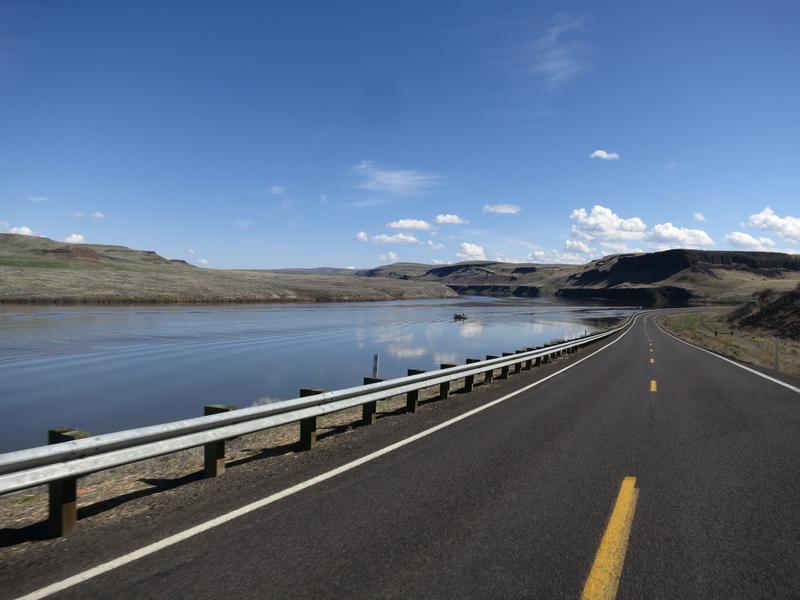
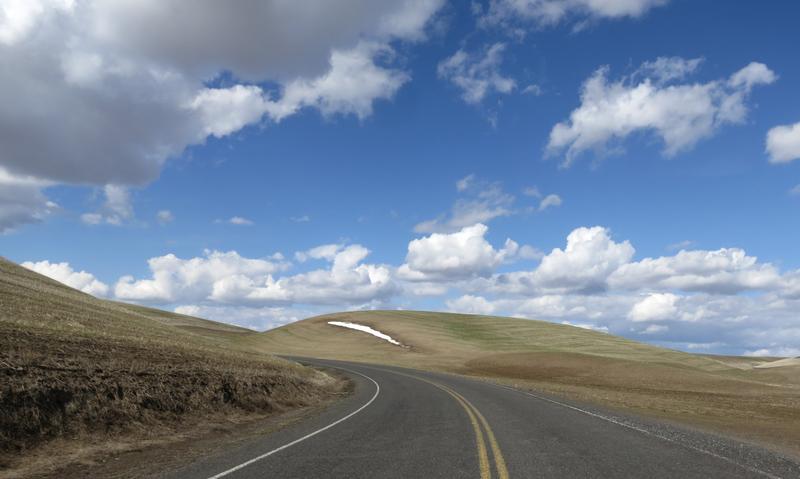
I wasn't going to do a ride report cause I wasn't inspired and did have anything to say. This changed about 1 hour into the ride right about here:
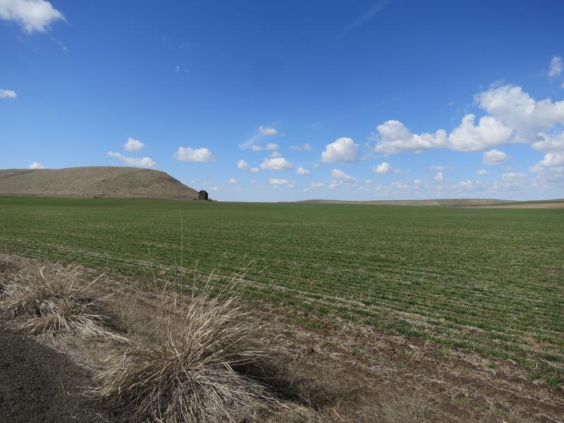
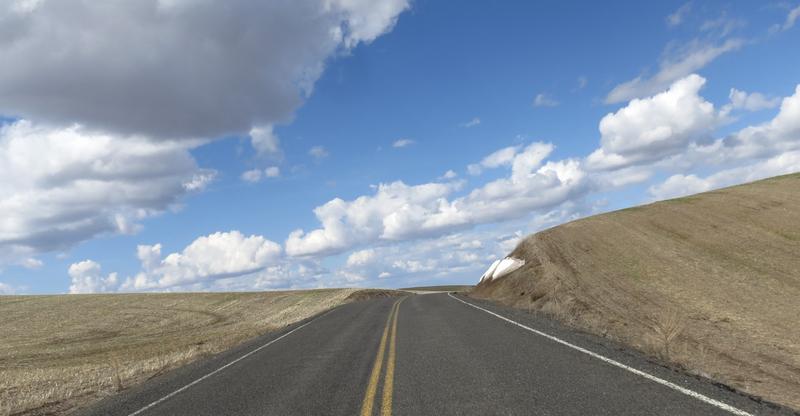
And a little closer up.
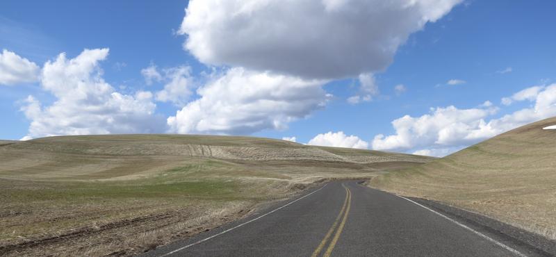
Lands End no?
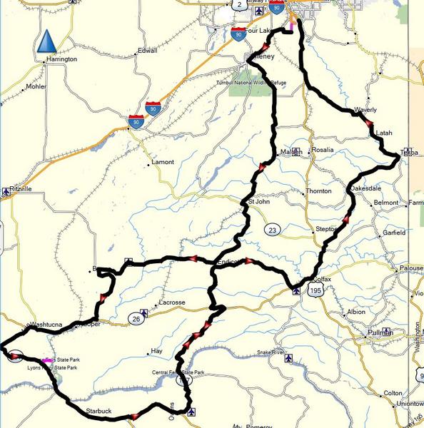
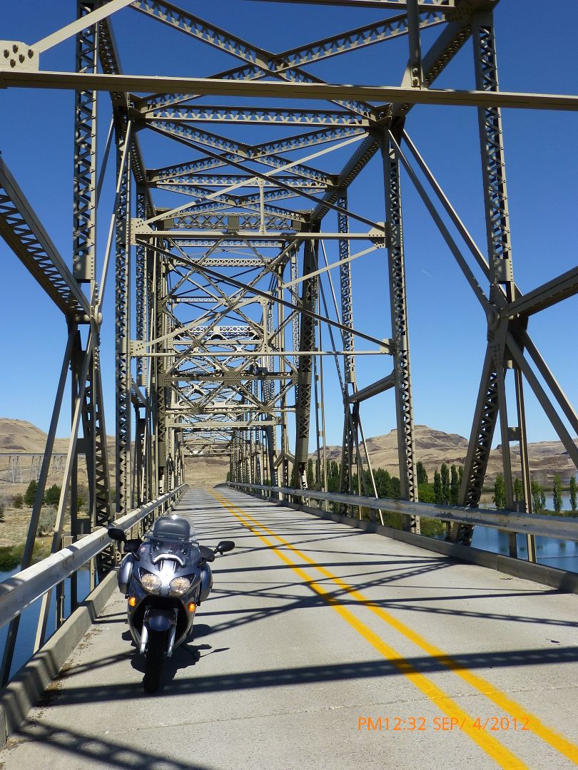
And before I go on here is the route, if you can trust Basecamp.
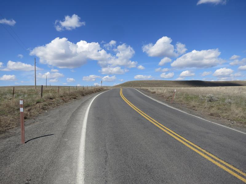
The idea was to ride on the best roads in the Palouse wheat country. I was on several county roads where the surface is unpredictable this time of year due to sand on the road. Often sand blends in with the road surface creating invisible hazards and so it was around Endicott where I was going slow enough to simply slip couple of inches in the turn. The story would have been different had I been leaned over at 50 mph.
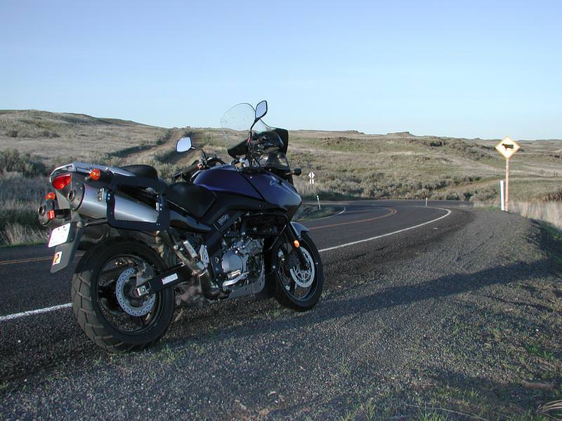
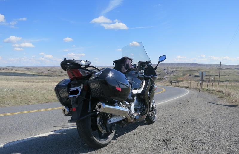
Along Hwy 261 get decided to stop and take a Pants inspired photo of the rear of the bike.
Along the way I had a flash back. My Vstrom, along Hwy 261, many years ago long before I had an FJR.
Now I wonder if this photo I have in mind for today is inspired by Pants or by myself and I just forgot about it.
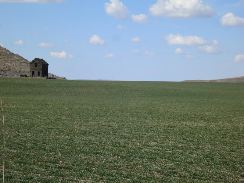
Today. Look under the right side mirror and you will find the road, (cue up Led Zeppelin).
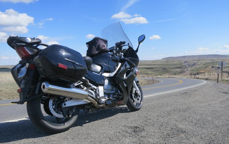
Little different angle:
Remove the bike to discover why I road 1.5 hour to get here.
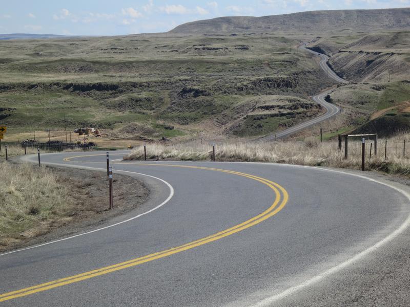
And there is no sand on the road and generally on numbered state highways there isn't. Local knowledge. It is as good as it looks.
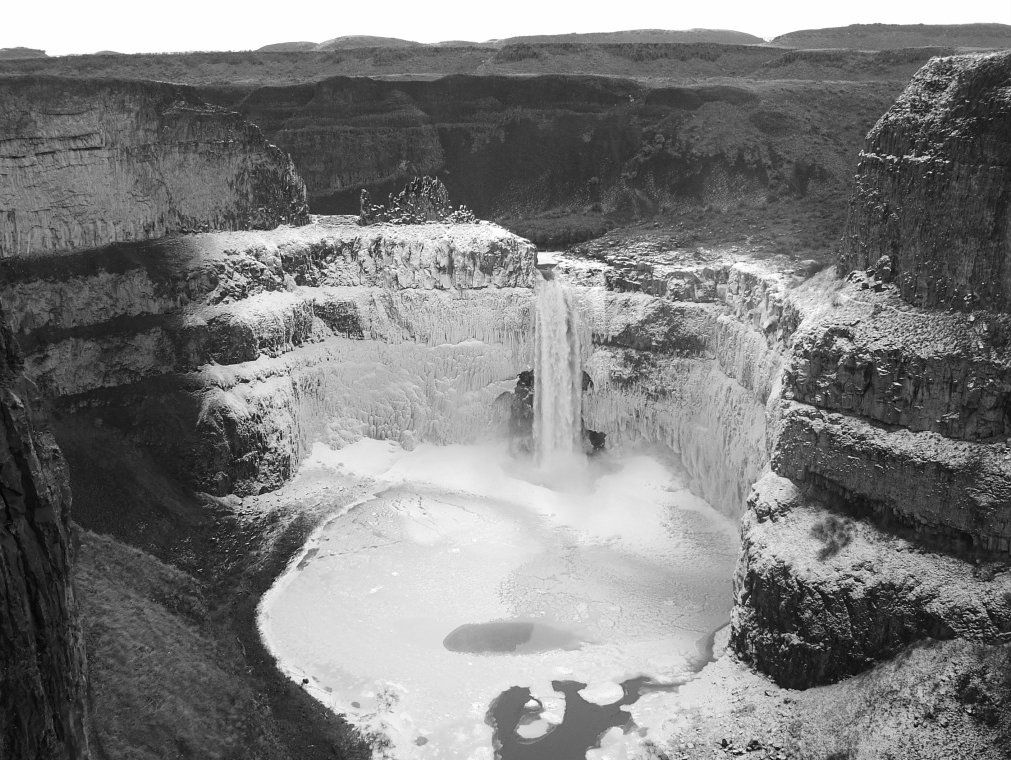
I decide to check out Palouse Falls and found half the population off Washtucna was there as well.
Palouse Falls when I was there on the Vstrom years ago.
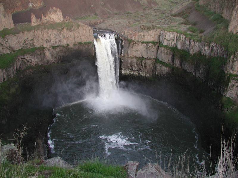
Palouse Falls today:
Different perspective:
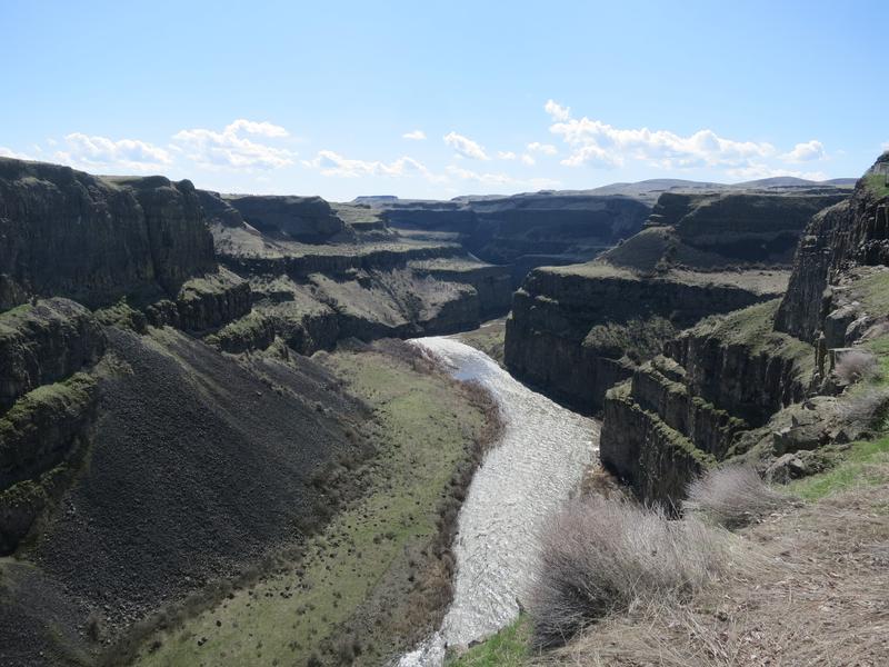
The Palouse River Canyon five miles long was cut by the
Please watch the video to learn how the Palouse Falls was formed.
There was a line up at the restroom in and it was long. Damn I have never seen so many people here. Backtracking a bit. At the entrance to Palouse Falls there was a sign warning visitors to stay back from the river and 4 people were recently killed there. Darwin rules.
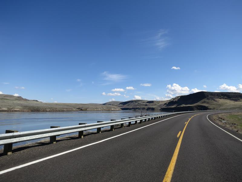
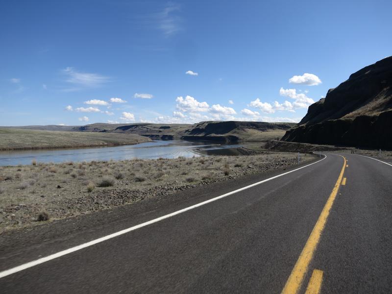
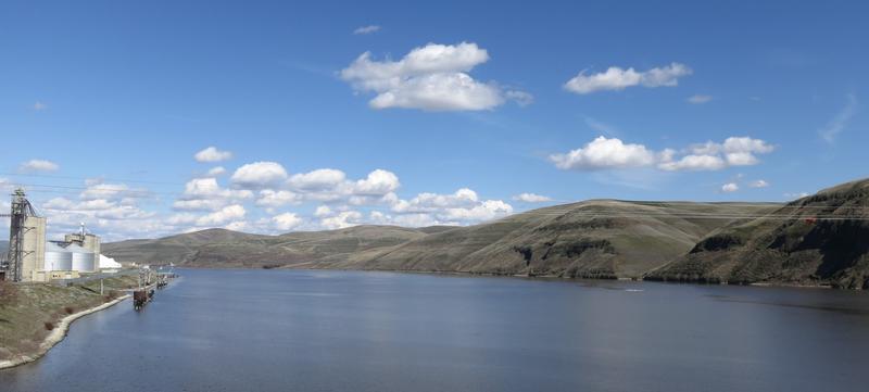
Back on the road on Hwy 12 I take some photos of the Snake River:
During the Ice Age Floods water flowed up the Snake River toward Lewiston leaving large sand bars when the debris fell out of solution as the flow diminished.
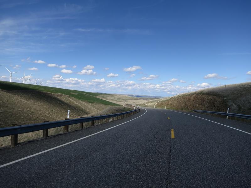
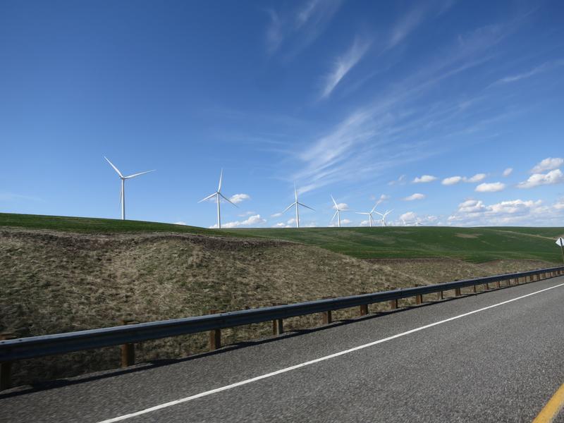
I climb back up a ridge and take a few more photos with wind mills off to my left.
There is sill snow on the hillsides.
Near the ridge top.
And back down to the Snake River about 30 miles east of where I was before.
Time to head for the barn. I am on Hwy 27 where 3 weeks ago crews battled to keep the road open.
It was a great day to be on the FJR.
Anyway I was pleasantly surprised the trip was few hours less than based camp planned on for this means I will arrive at home before dark.
I wasn't going to do a ride report cause I wasn't inspired and did have anything to say. This changed about 1 hour into the ride right about here:
And a little closer up.
Lands End no?
And before I go on here is the route, if you can trust Basecamp.
The idea was to ride on the best roads in the Palouse wheat country. I was on several county roads where the surface is unpredictable this time of year due to sand on the road. Often sand blends in with the road surface creating invisible hazards and so it was around Endicott where I was going slow enough to simply slip couple of inches in the turn. The story would have been different had I been leaned over at 50 mph.
Along Hwy 261 get decided to stop and take a Pants inspired photo of the rear of the bike.
Along the way I had a flash back. My Vstrom, along Hwy 261, many years ago long before I had an FJR.
Now I wonder if this photo I have in mind for today is inspired by Pants or by myself and I just forgot about it.
Today. Look under the right side mirror and you will find the road, (cue up Led Zeppelin).
Little different angle:
Remove the bike to discover why I road 1.5 hour to get here.
And there is no sand on the road and generally on numbered state highways there isn't. Local knowledge. It is as good as it looks.
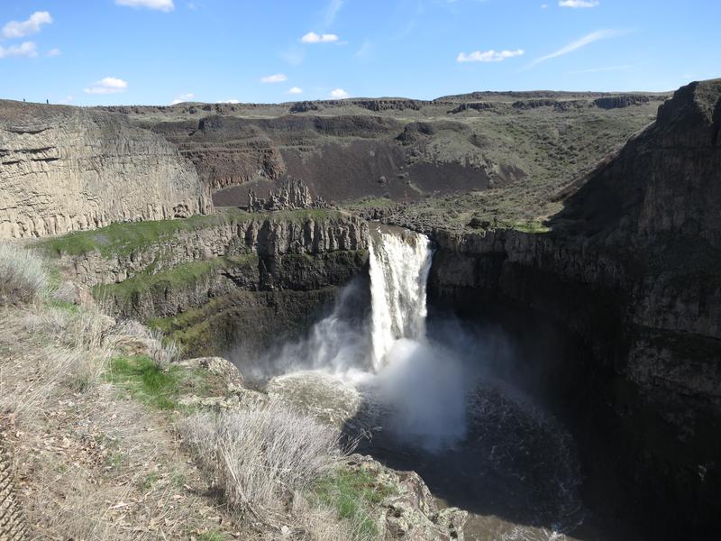
I decide to check out Palouse Falls and found half the population off Washtucna was there as well.
Palouse Falls when I was there on the Vstrom years ago.
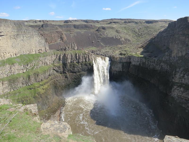
Palouse Falls today:
Different perspective:
The Palouse River Canyon five miles long was cut by the
Please watch the video to learn how the Palouse Falls was formed.
There was a line up at the restroom in and it was long. Damn I have never seen so many people here. Backtracking a bit. At the entrance to Palouse Falls there was a sign warning visitors to stay back from the river and 4 people were recently killed there. Darwin rules.
Back on the road on Hwy 12 I take some photos of the Snake River:
During the Ice Age Floods water flowed up the Snake River toward Lewiston leaving large sand bars when the debris fell out of solution as the flow diminished.
I climb back up a ridge and take a few more photos with wind mills off to my left.
There is sill snow on the hillsides.
Near the ridge top.
And back down to the Snake River about 30 miles east of where I was before.
Time to head for the barn. I am on Hwy 27 where 3 weeks ago crews battled to keep the road open.
It was a great day to be on the FJR.
Last edited by a moderator:
")
