


Fontanaman
Robin Trower
The scab lands in Eastern Washington are a result of the Ice Age Floods scouring the land of all loose soil about 13,000 - 15,000 years ago.
Using Google Maps you can easily see where the water flowed. Here is an image from Google Maps.
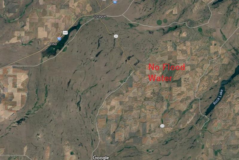
The brown area is where water flowed carving out the land as it went. You can see the finger lakes pointing the direction of flow from NE to SW. Look closer to see the swirl lines in the landscape indicative of flowing water. If you go to Google maps you will see all this water funnelled near Palouse Falls and was responsible for creating the Palouse Canyon and Falls.
So why all the fuss about the great floods? Riding the roads in the flood zone one sees a pile of rock and cliffs. To many it would be is unsightly and not very interesting. But when you understand how this landscape was formed it becomes a fascinating place to be.
I rode Hwy 23 from Sprague Washington to south of Rock Lake. See image above.
Hummocks define the scab lands.
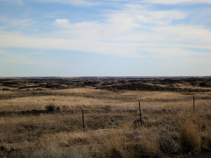
Rocks abound with scant vegetation as the soil was stripped away by the floods.
Geology respite. An early 60’s Corvette.
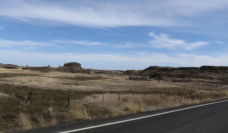
A small mesa left standing while the area around it is somewhere down river.
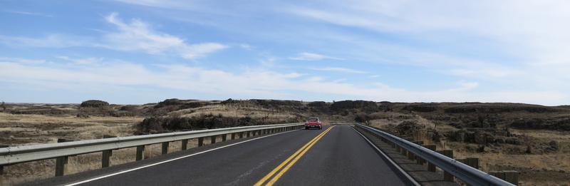
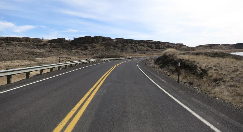
Pavement is not bad. The scenery is very interesting when you know how it was created.
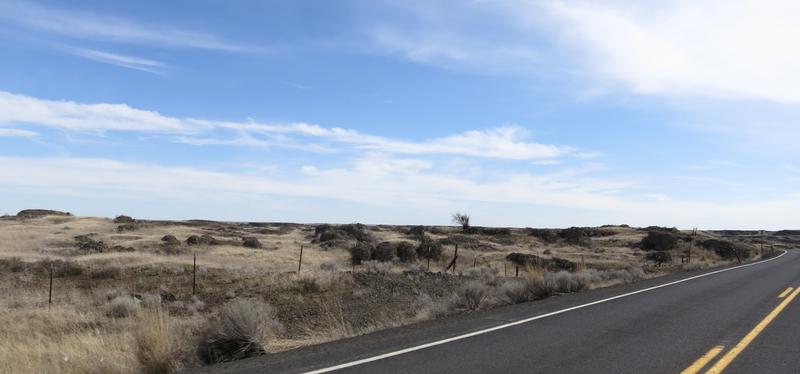
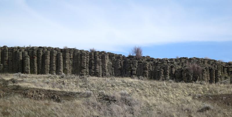
Columnar Basalt created millions of years ago when lava flowed from Eastern Washington to the Pacific Ocean. The fractures formed when the lava cooled. Weak basalt rock was easily dislodged by the great floods.
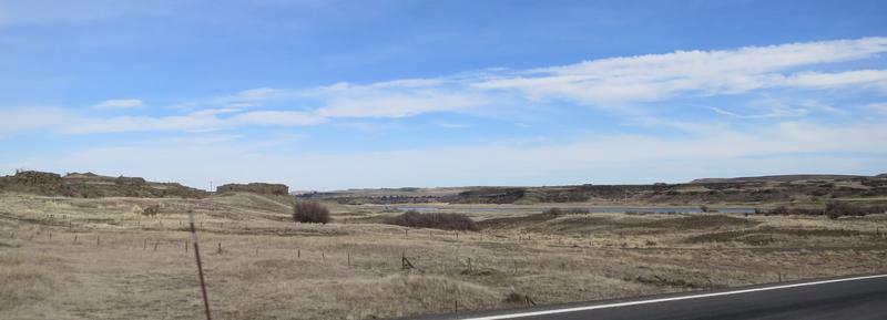
Crazy landscape.
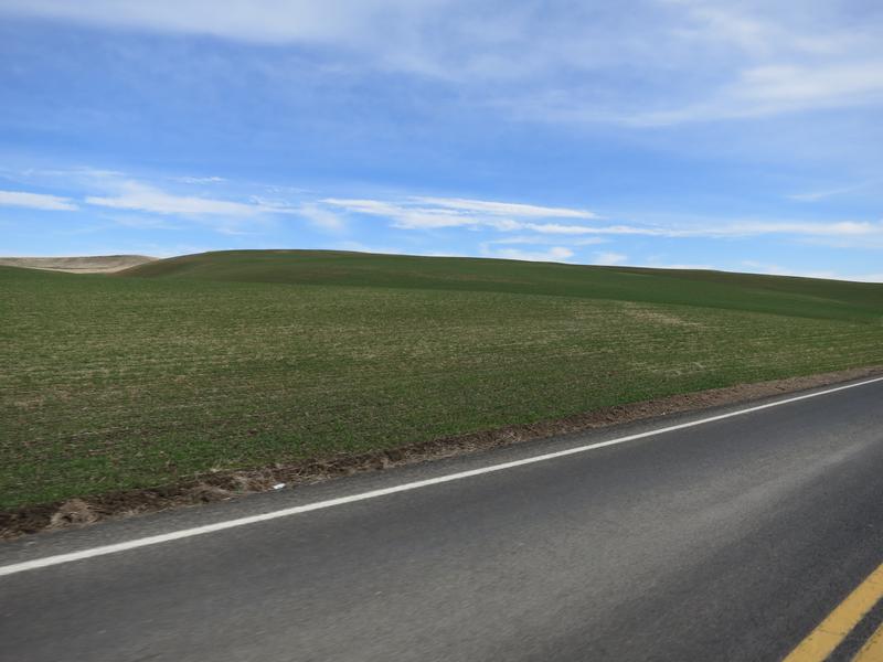
In general Wheat fields cover SE Washington unless flood water washed the Loess away.
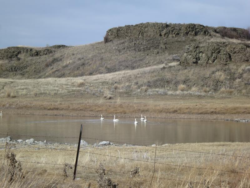
Back on the flood zone I got lucky with this shot.
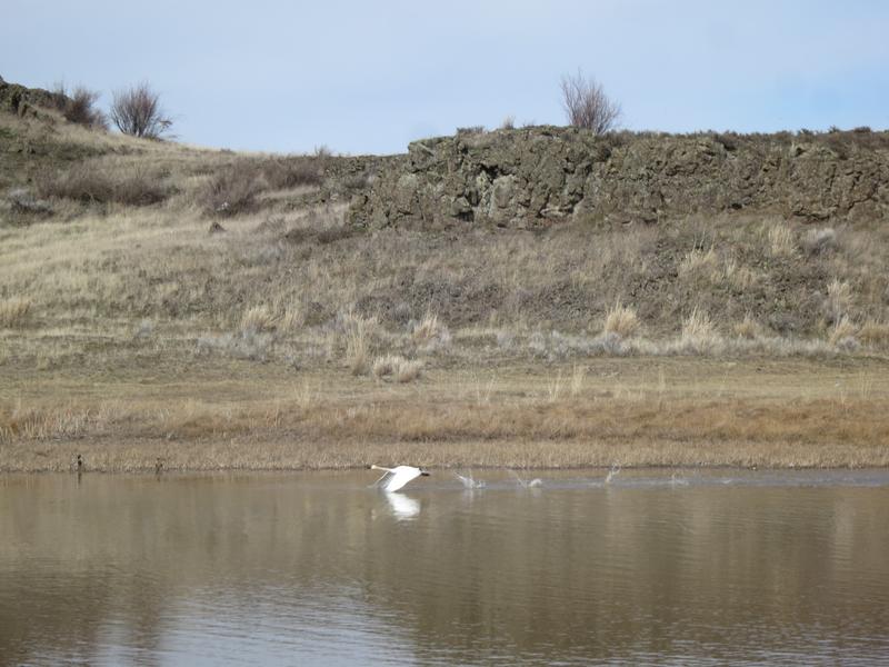
White swans in a brown stark landscape.
I continue on Hwy 23 to 3900’ Steptoe Butte where I took this photo.
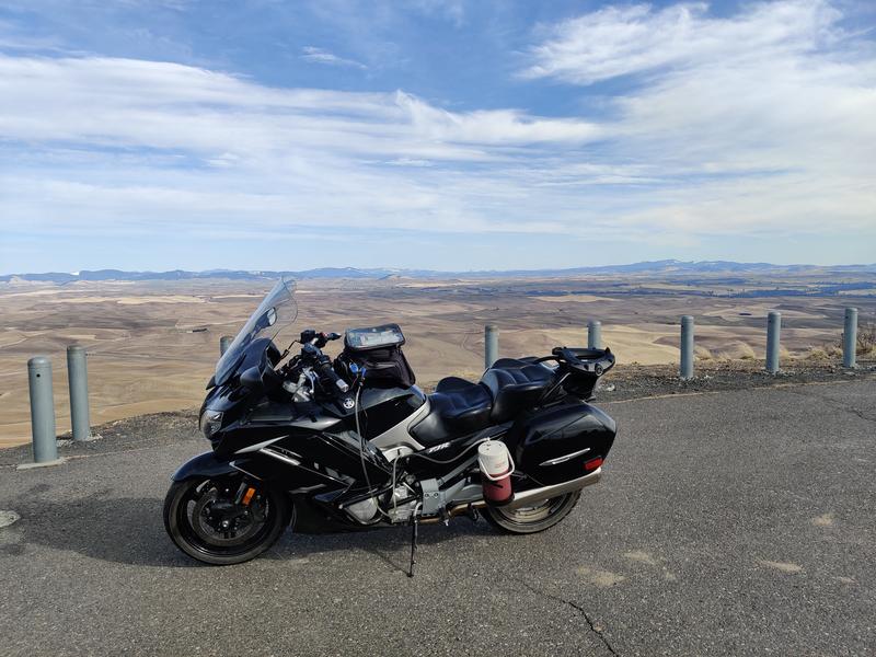
It was a nice day to be on the FJR in SE Washington an area with a rich Geological history.
Using Google Maps you can easily see where the water flowed. Here is an image from Google Maps.
The brown area is where water flowed carving out the land as it went. You can see the finger lakes pointing the direction of flow from NE to SW. Look closer to see the swirl lines in the landscape indicative of flowing water. If you go to Google maps you will see all this water funnelled near Palouse Falls and was responsible for creating the Palouse Canyon and Falls.
So why all the fuss about the great floods? Riding the roads in the flood zone one sees a pile of rock and cliffs. To many it would be is unsightly and not very interesting. But when you understand how this landscape was formed it becomes a fascinating place to be.
I rode Hwy 23 from Sprague Washington to south of Rock Lake. See image above.
Hummocks define the scab lands.
Rocks abound with scant vegetation as the soil was stripped away by the floods.
Geology respite. An early 60’s Corvette.
A small mesa left standing while the area around it is somewhere down river.
Pavement is not bad. The scenery is very interesting when you know how it was created.
Columnar Basalt created millions of years ago when lava flowed from Eastern Washington to the Pacific Ocean. The fractures formed when the lava cooled. Weak basalt rock was easily dislodged by the great floods.
Crazy landscape.
In general Wheat fields cover SE Washington unless flood water washed the Loess away.
Back on the flood zone I got lucky with this shot.
White swans in a brown stark landscape.
I continue on Hwy 23 to 3900’ Steptoe Butte where I took this photo.
It was a nice day to be on the FJR in SE Washington an area with a rich Geological history.