Redfish Hunter
Gone Fishing
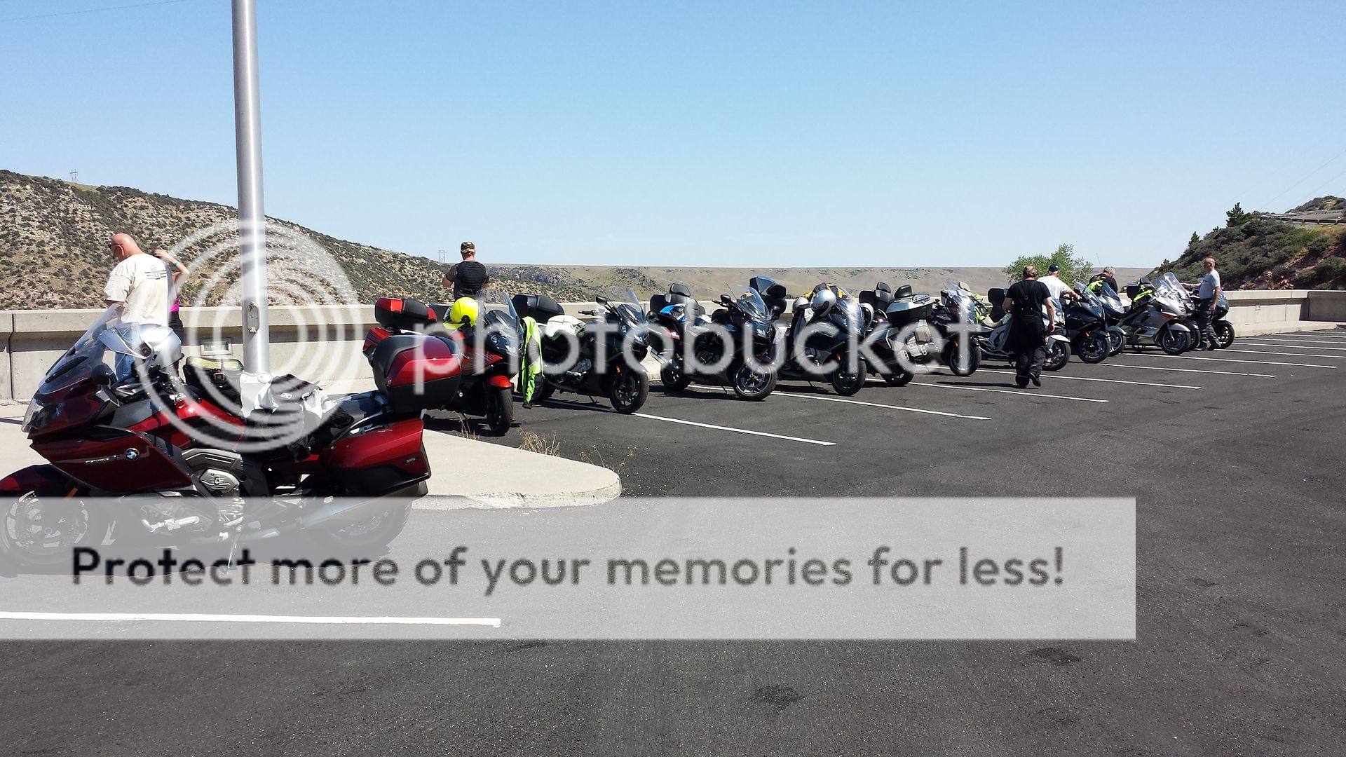
Your RRs always manage to combine a party, an attractive lady (or ladies), quality beers, and excellent riding. I need to work on my technique.
Good Stuff.
Good Stuff.


...once you figure it out RfH, please share!Your RRs always manage to combine a party, an attractive lady (or ladies), quality beers, and excellent riding. I need to work on my technique.Good Stuff.
")
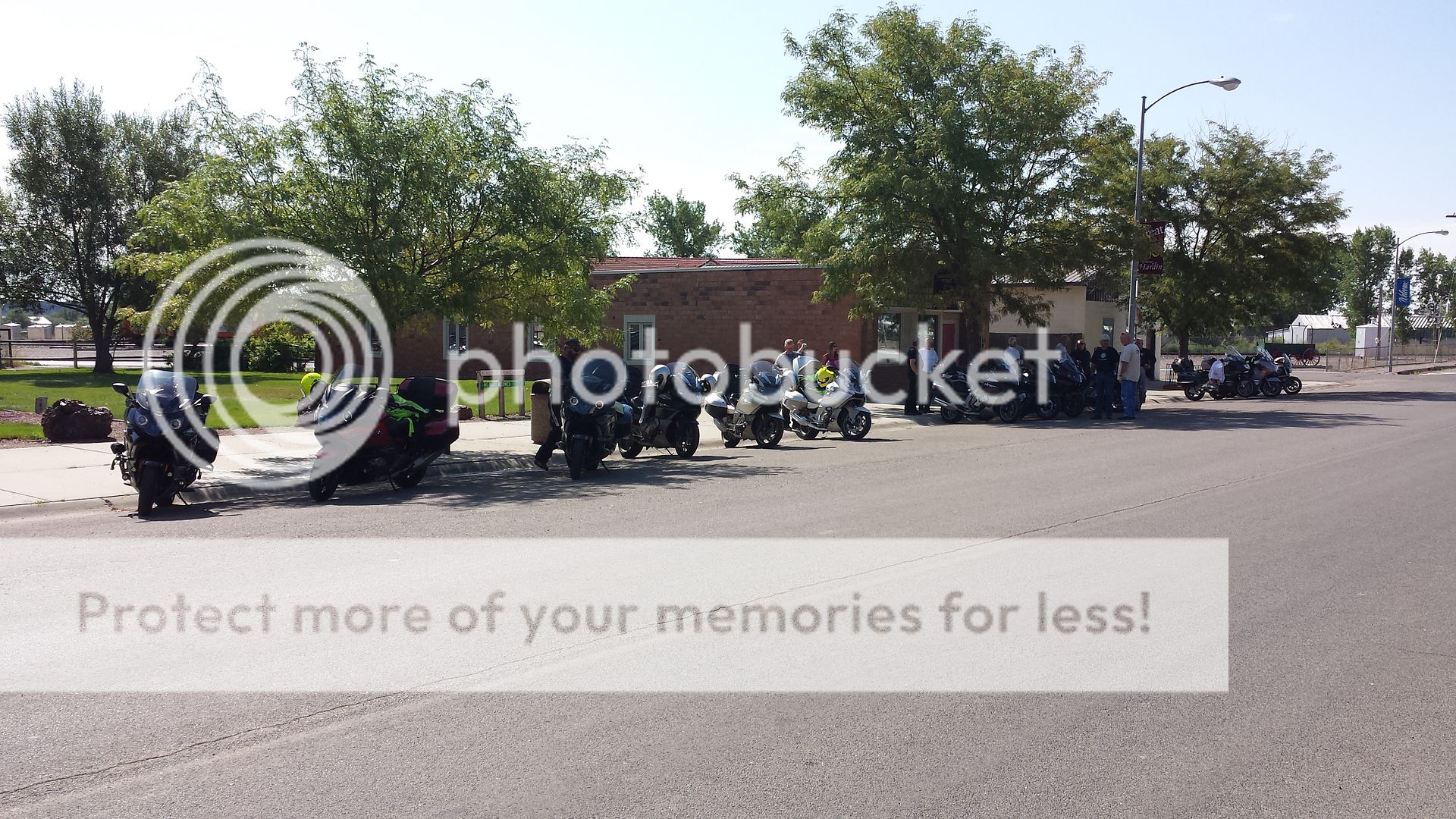


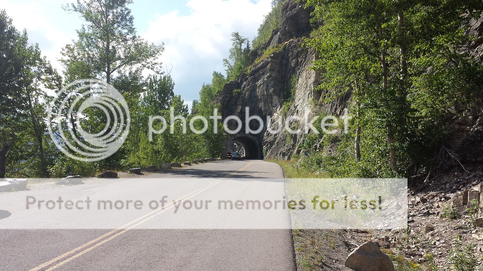
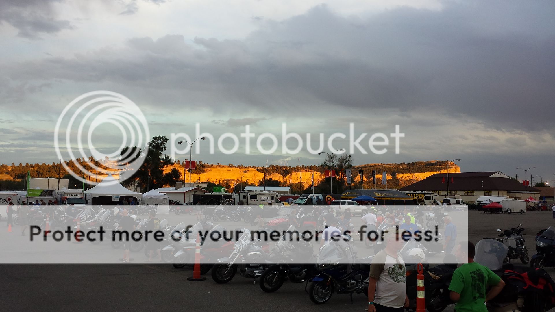 Leaving the Rally and all your old and newly made friends is kinda sad. But, you know you have to move on, well, some of us do anyway.
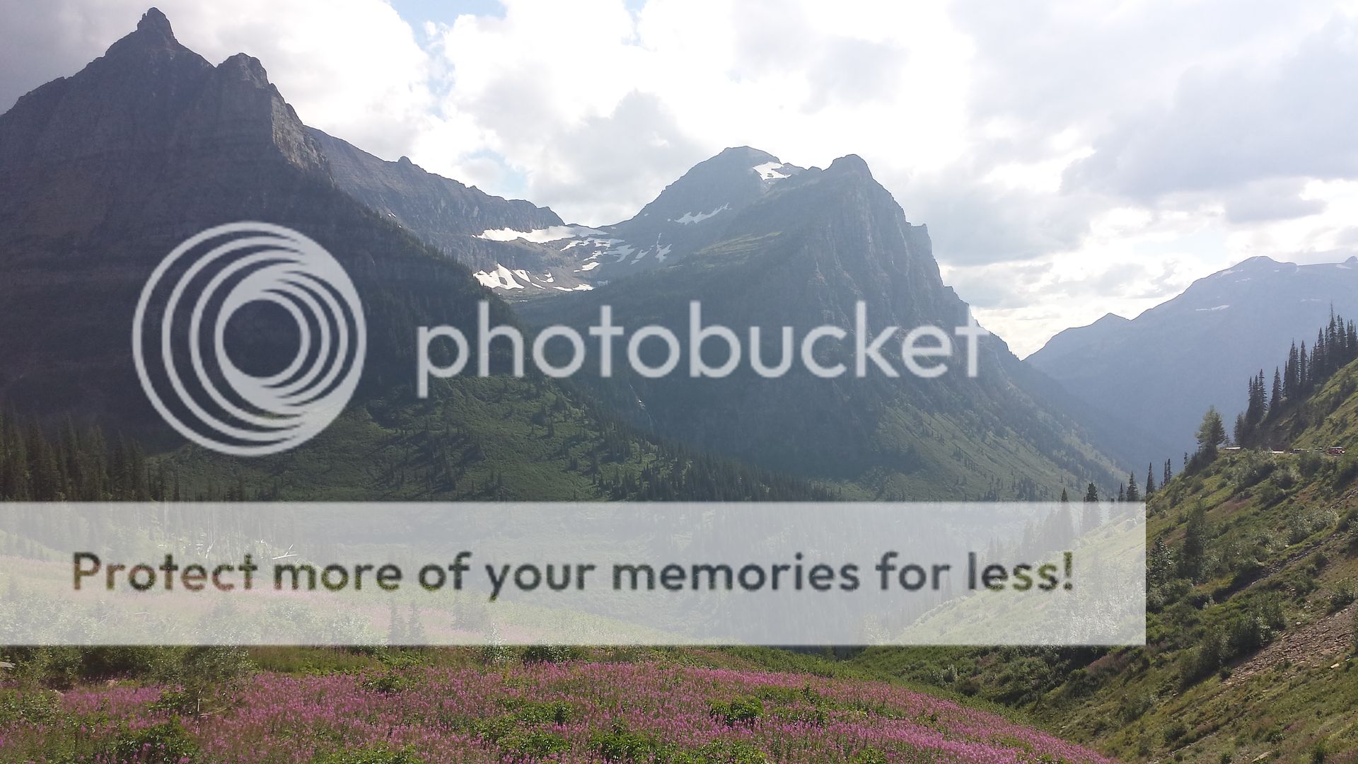


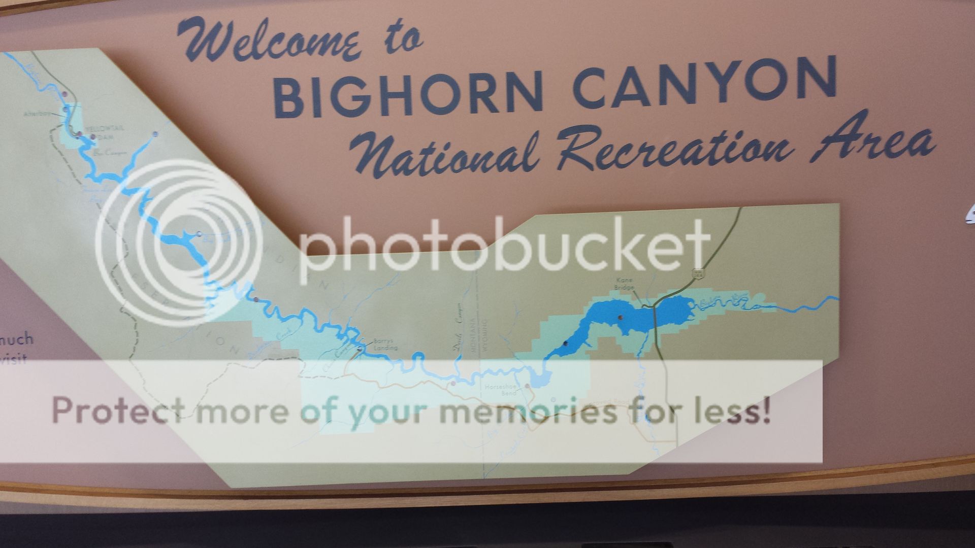
 and... the weather just got better! well, it "did"! ;-)
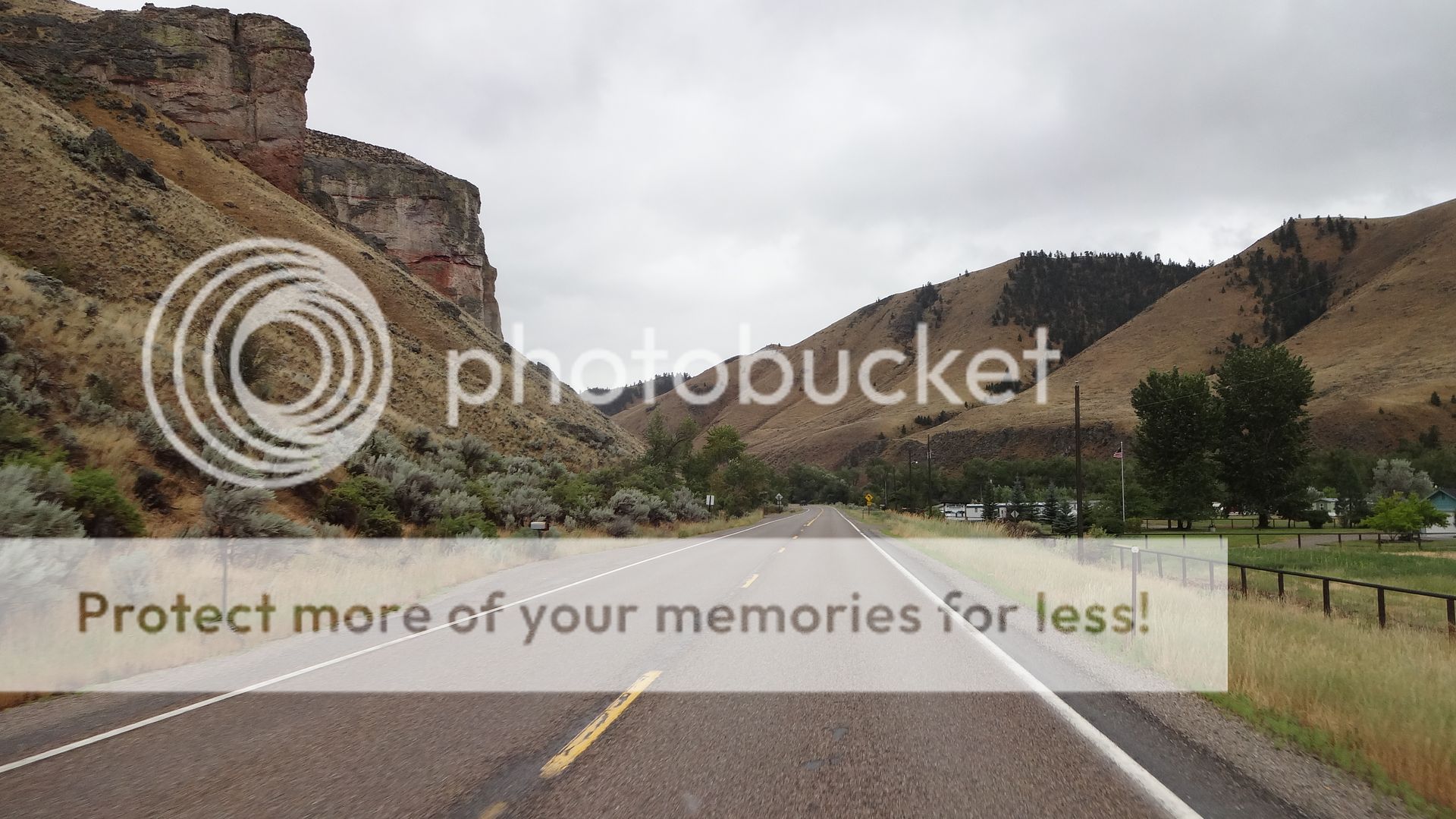
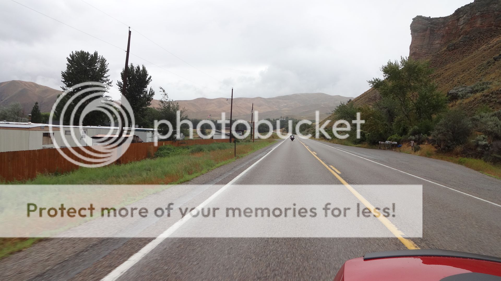
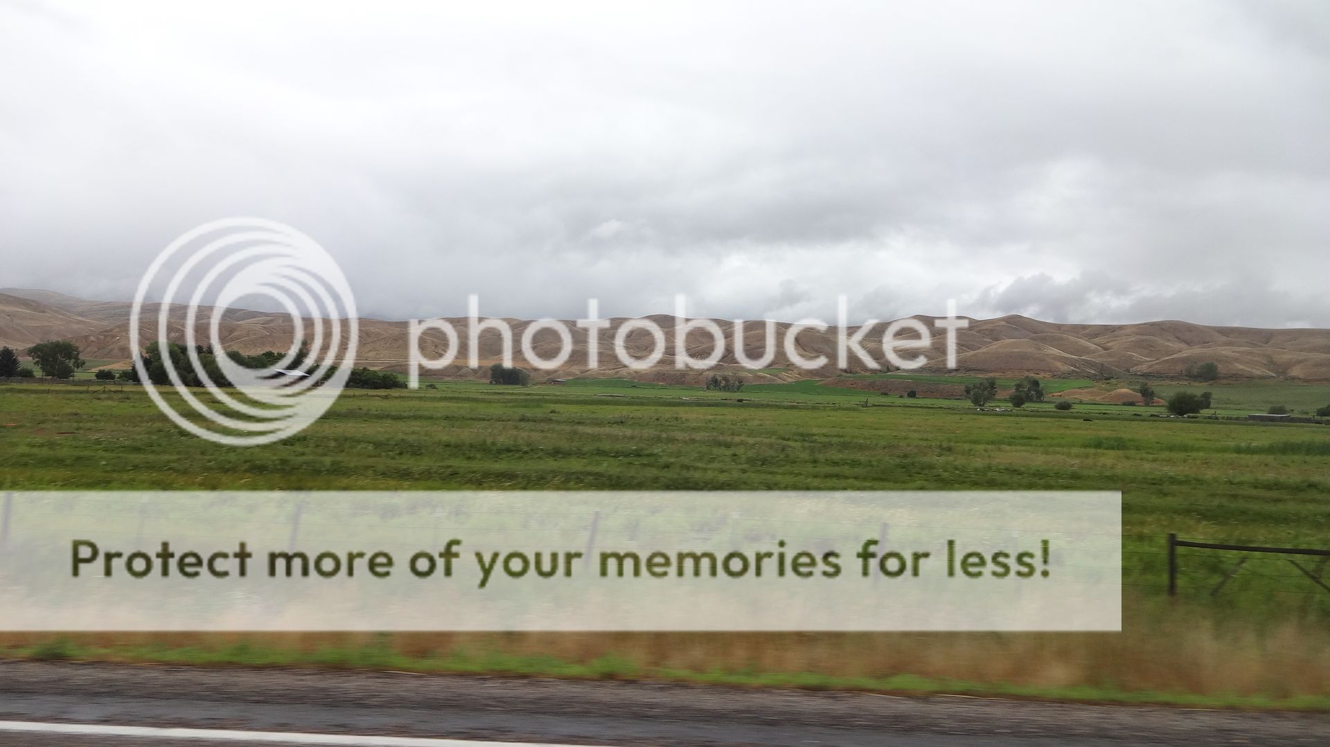
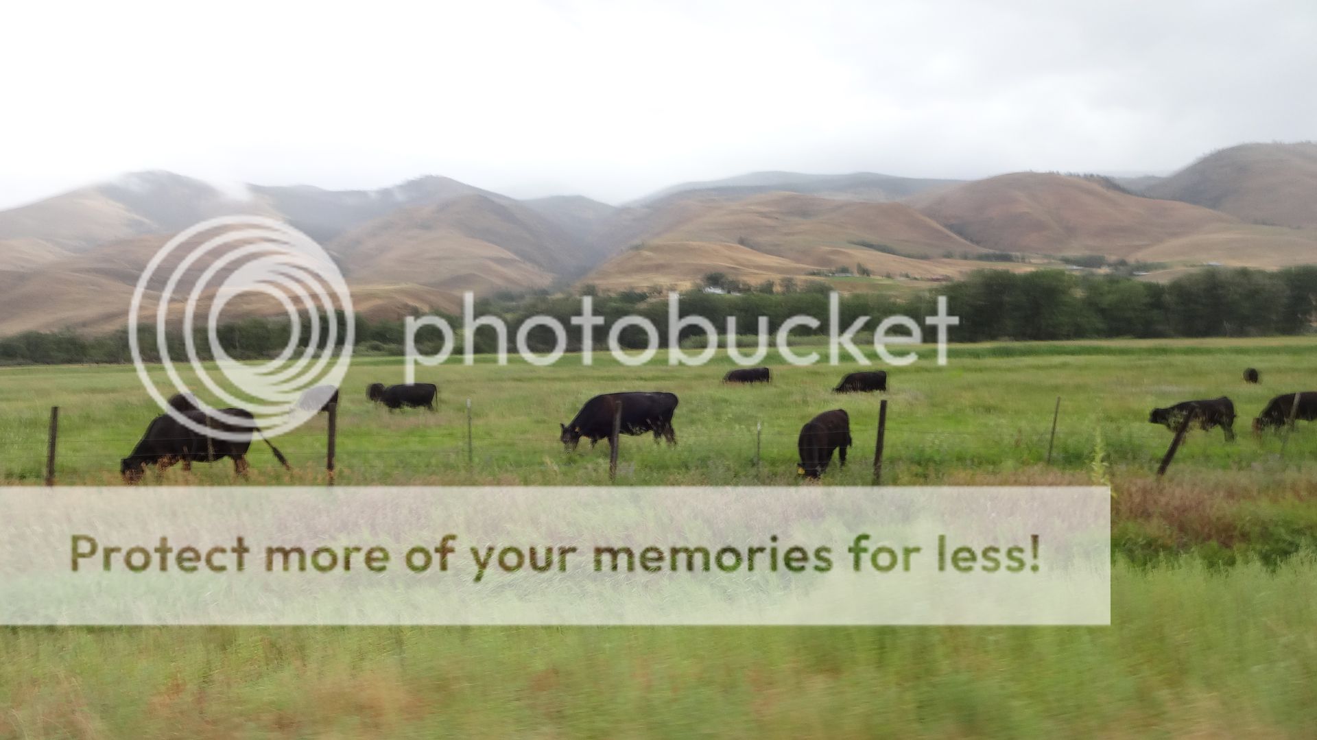
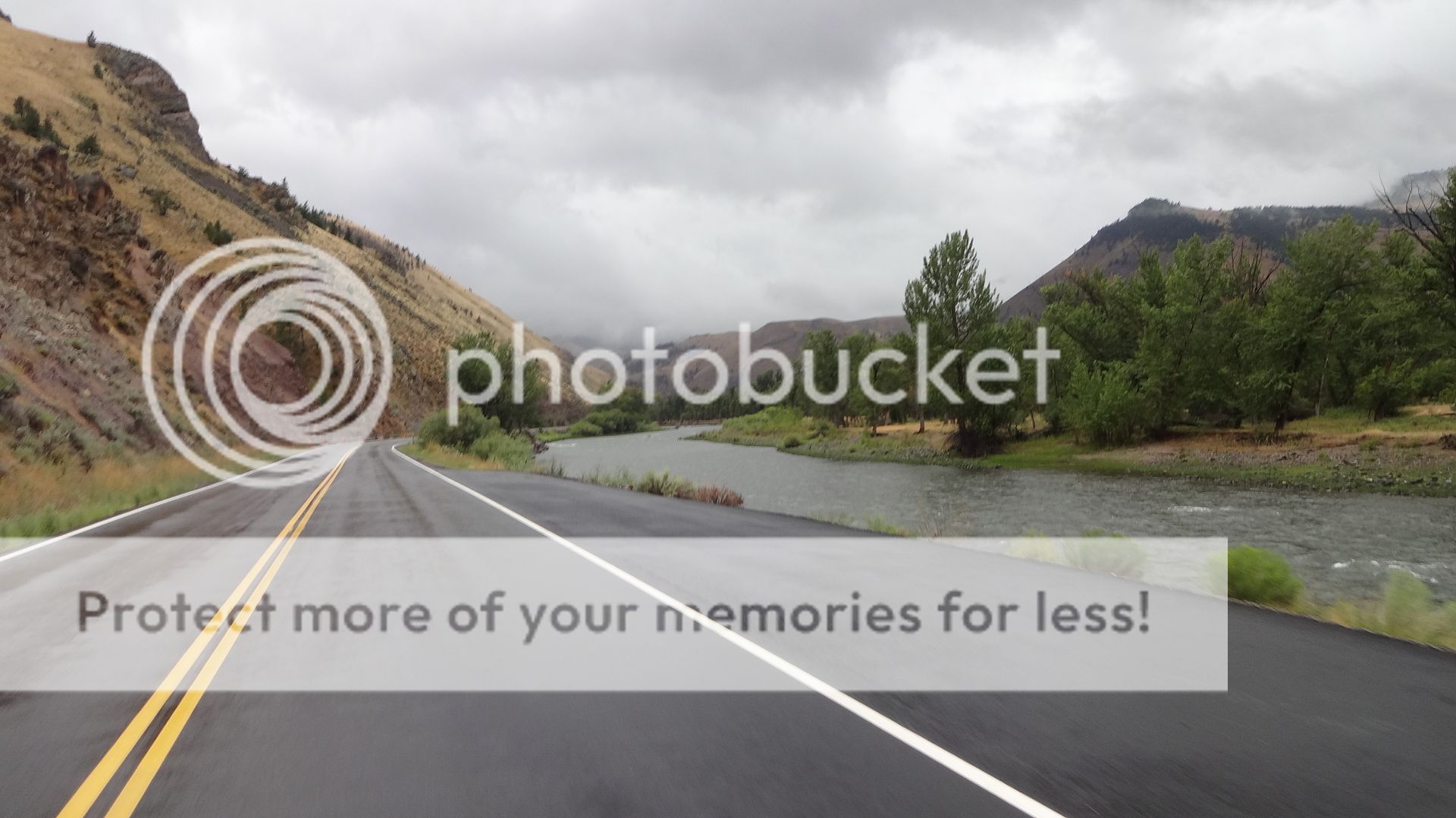
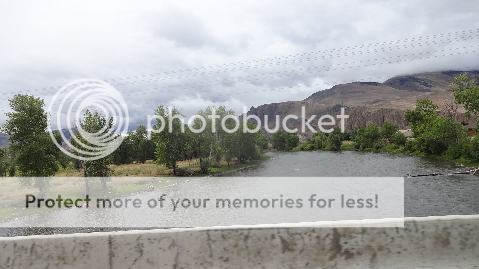
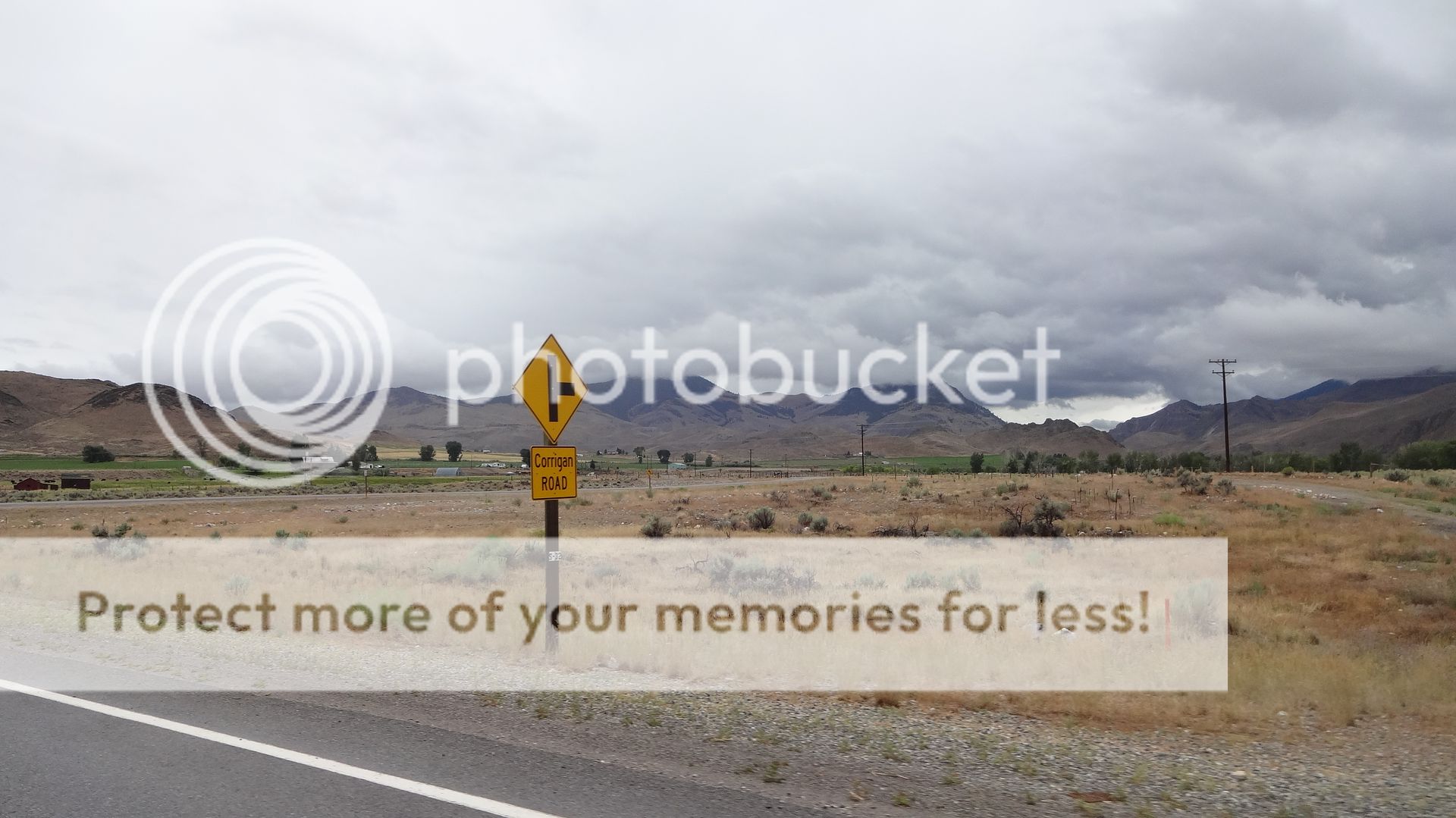
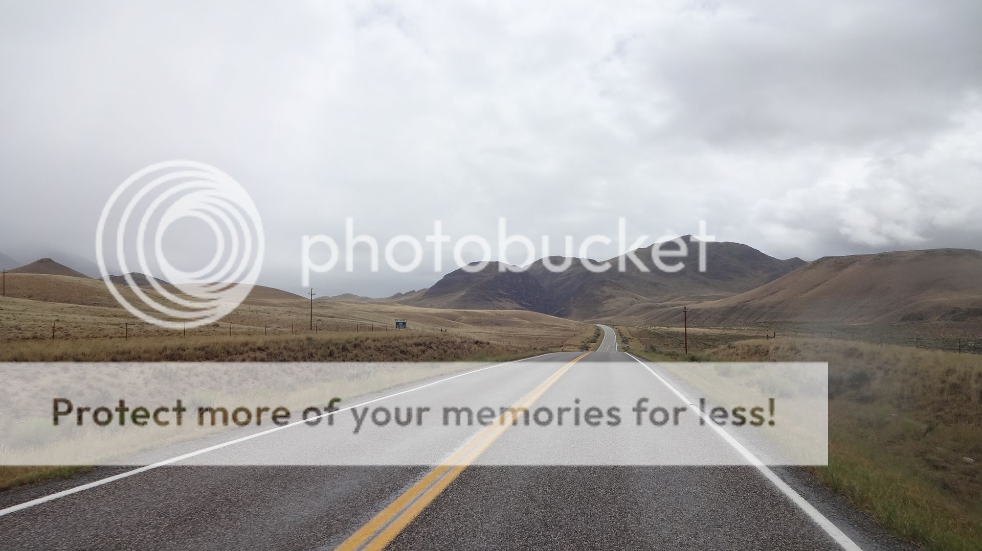
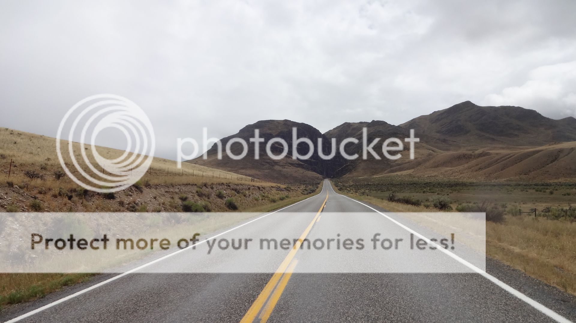
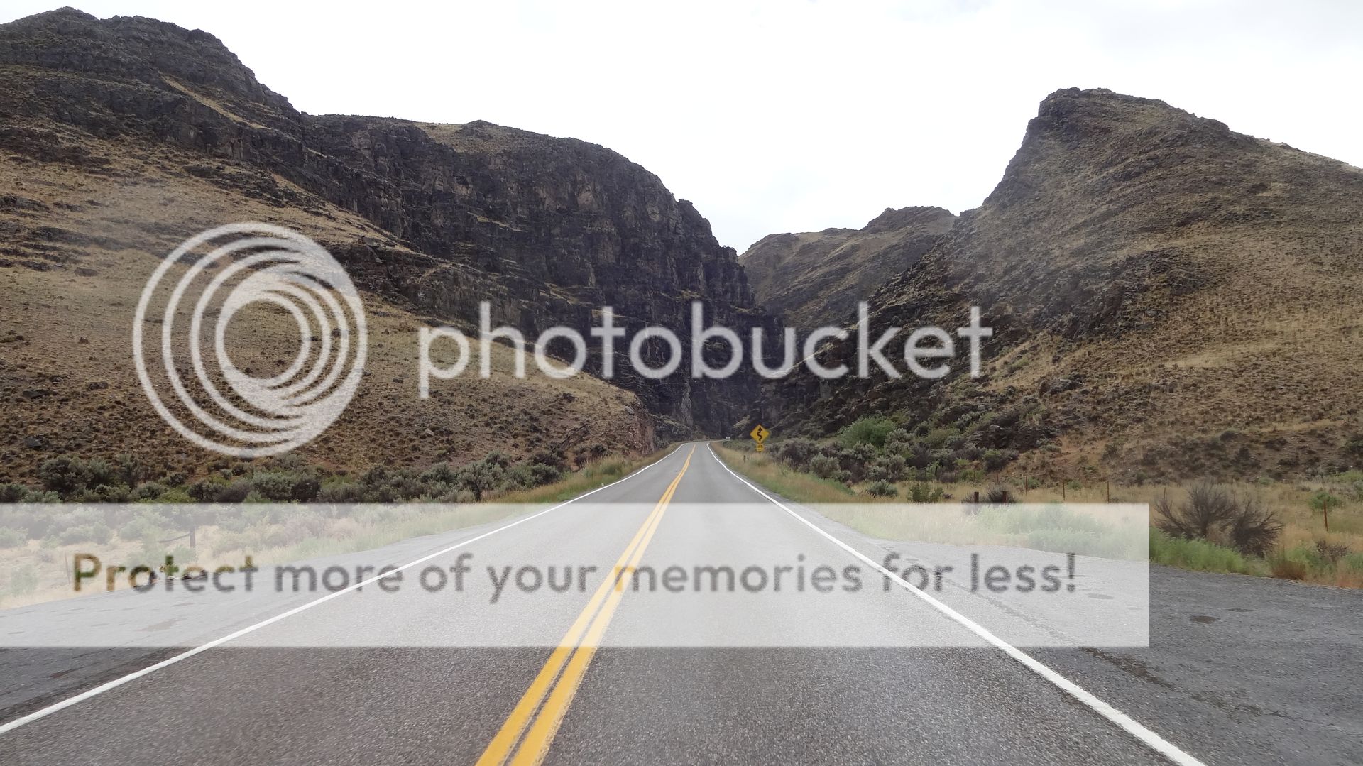
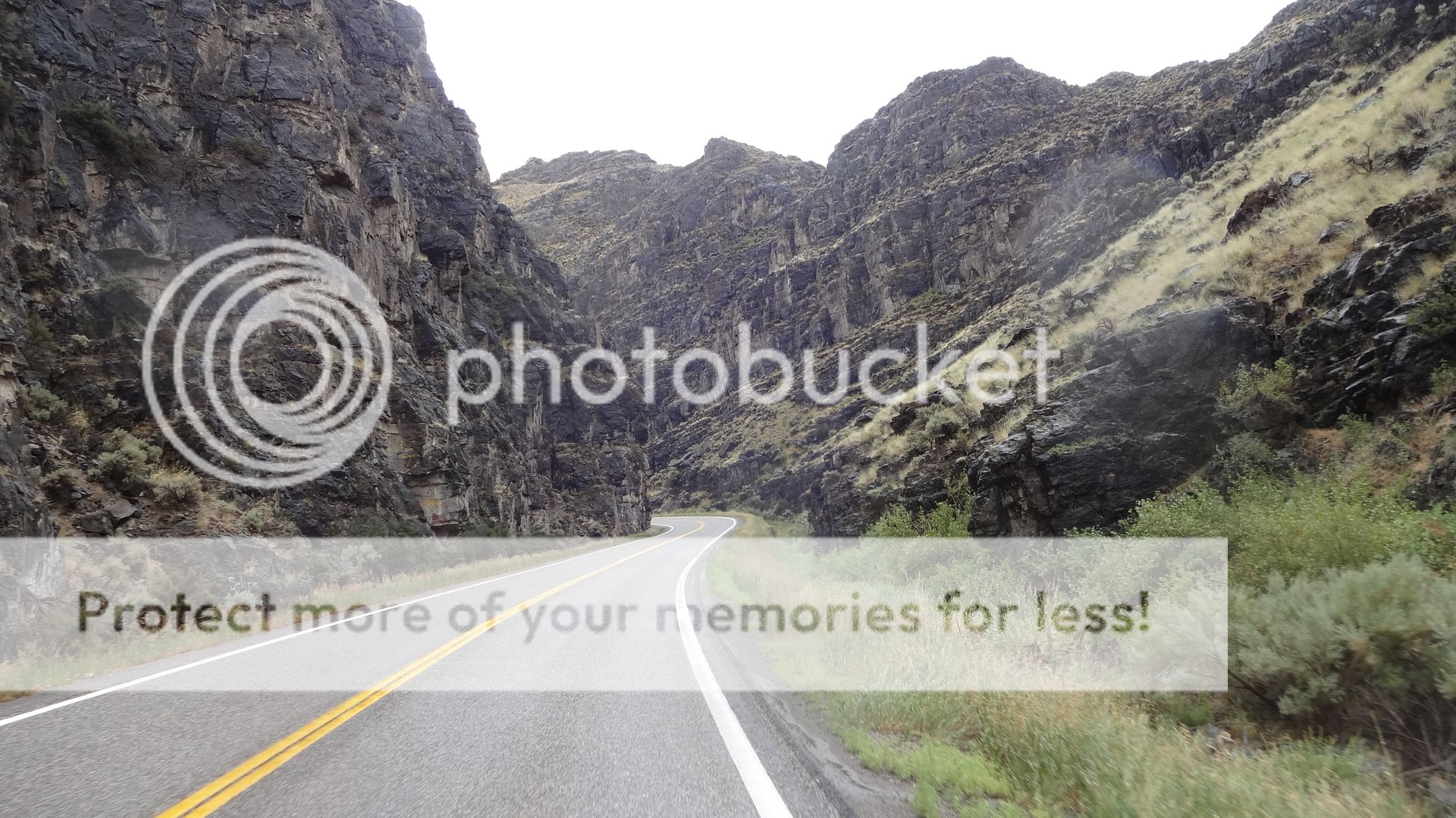
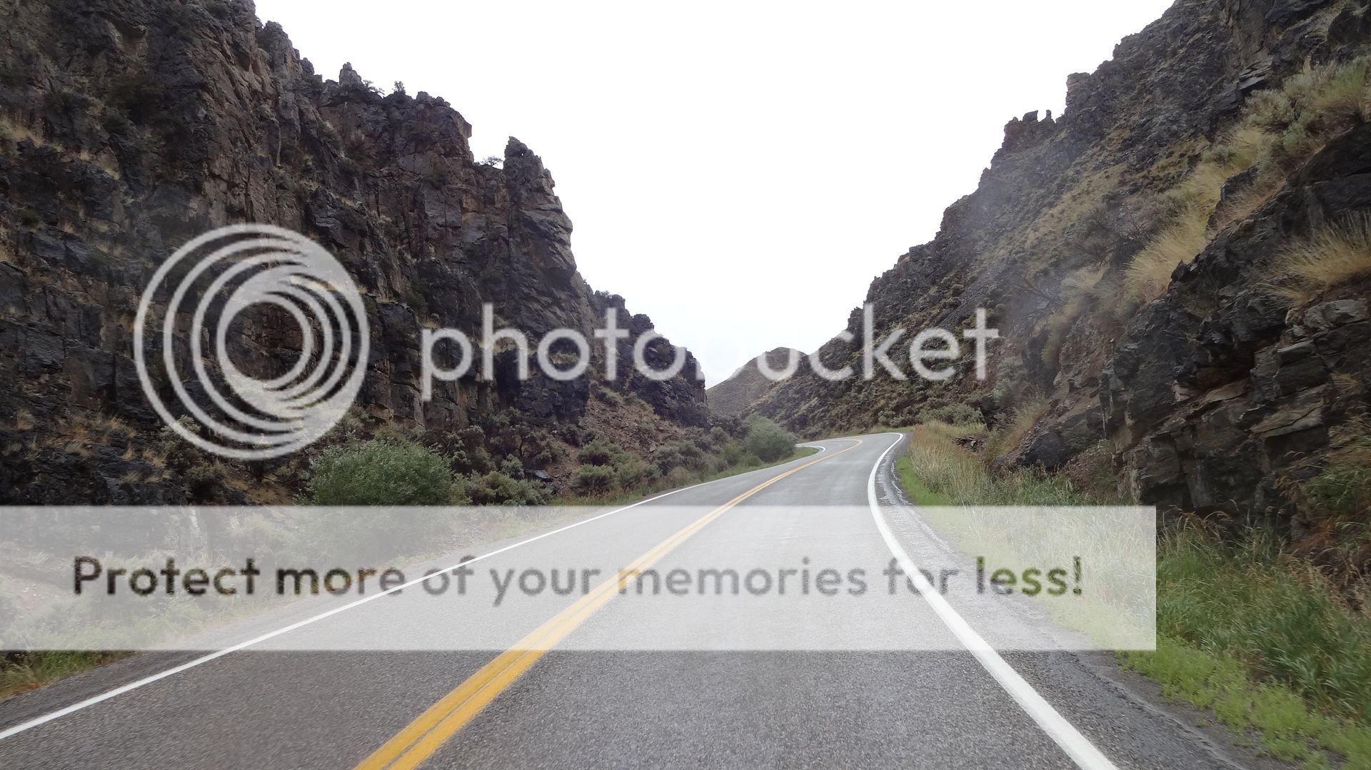
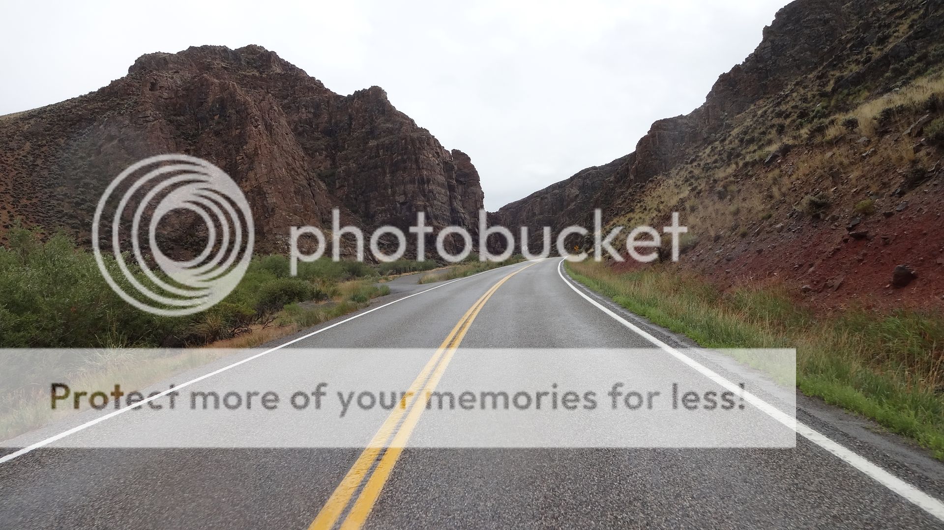
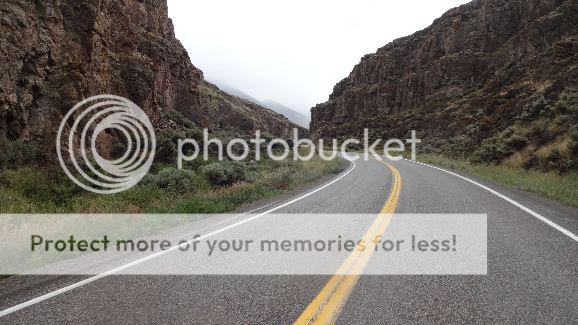
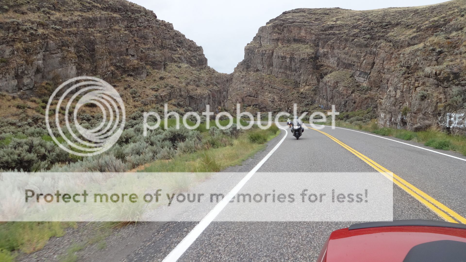
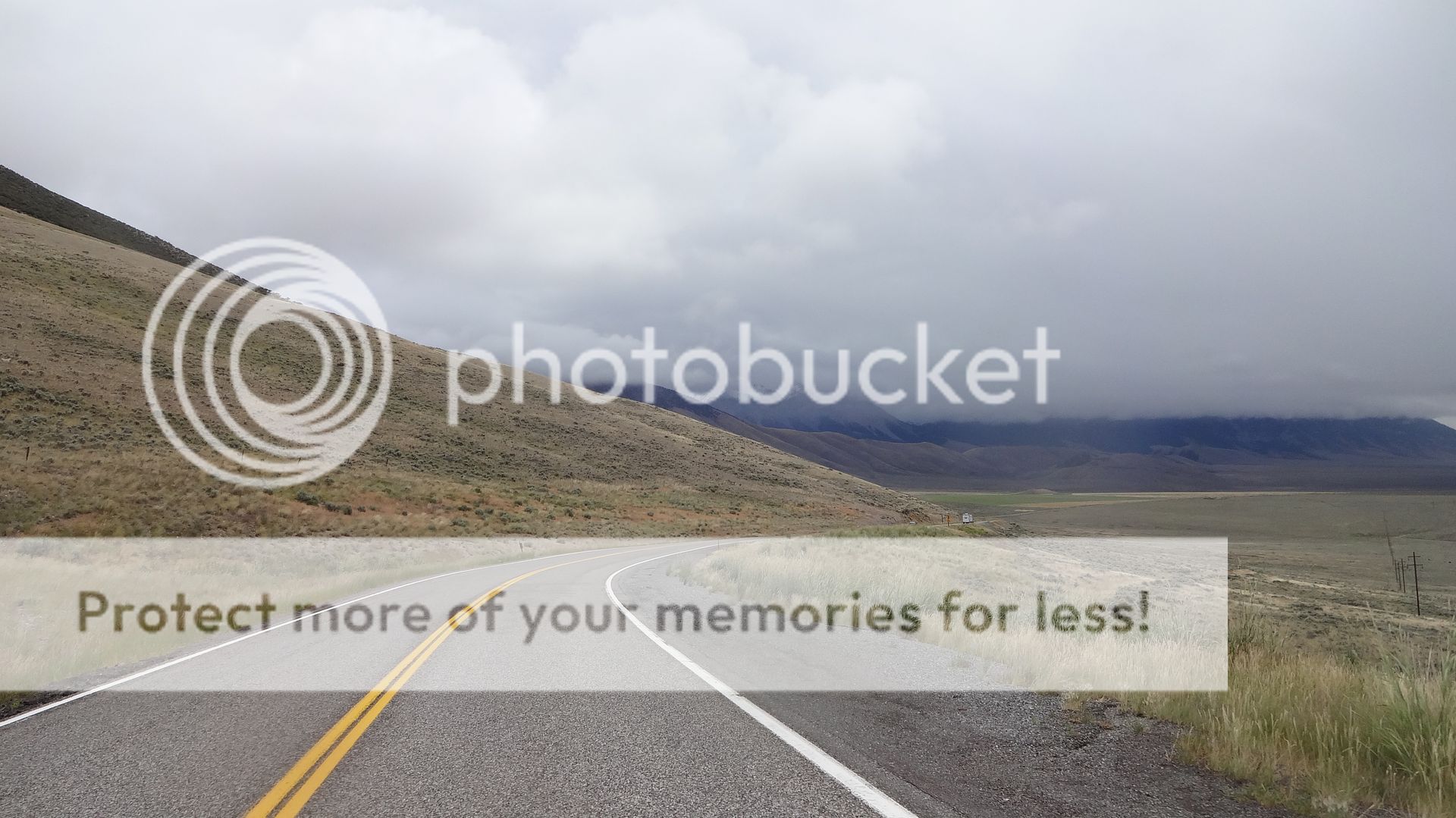
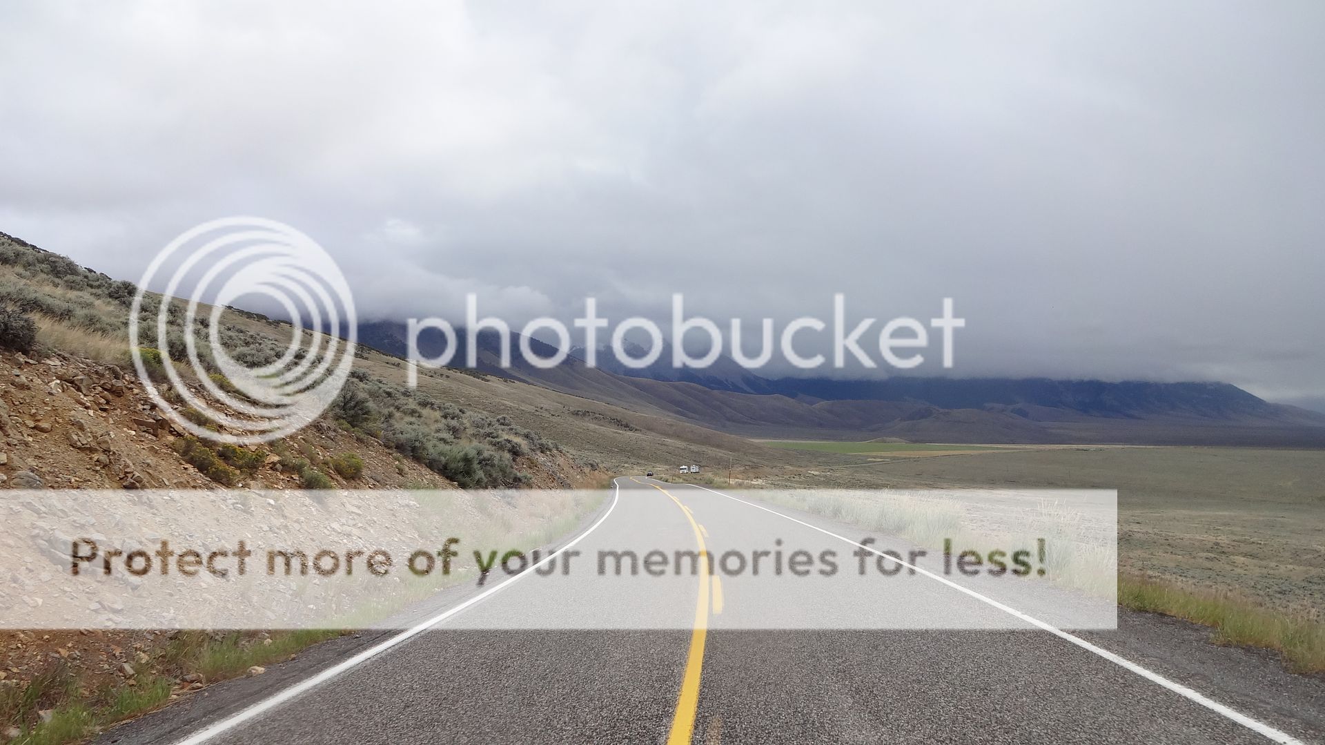
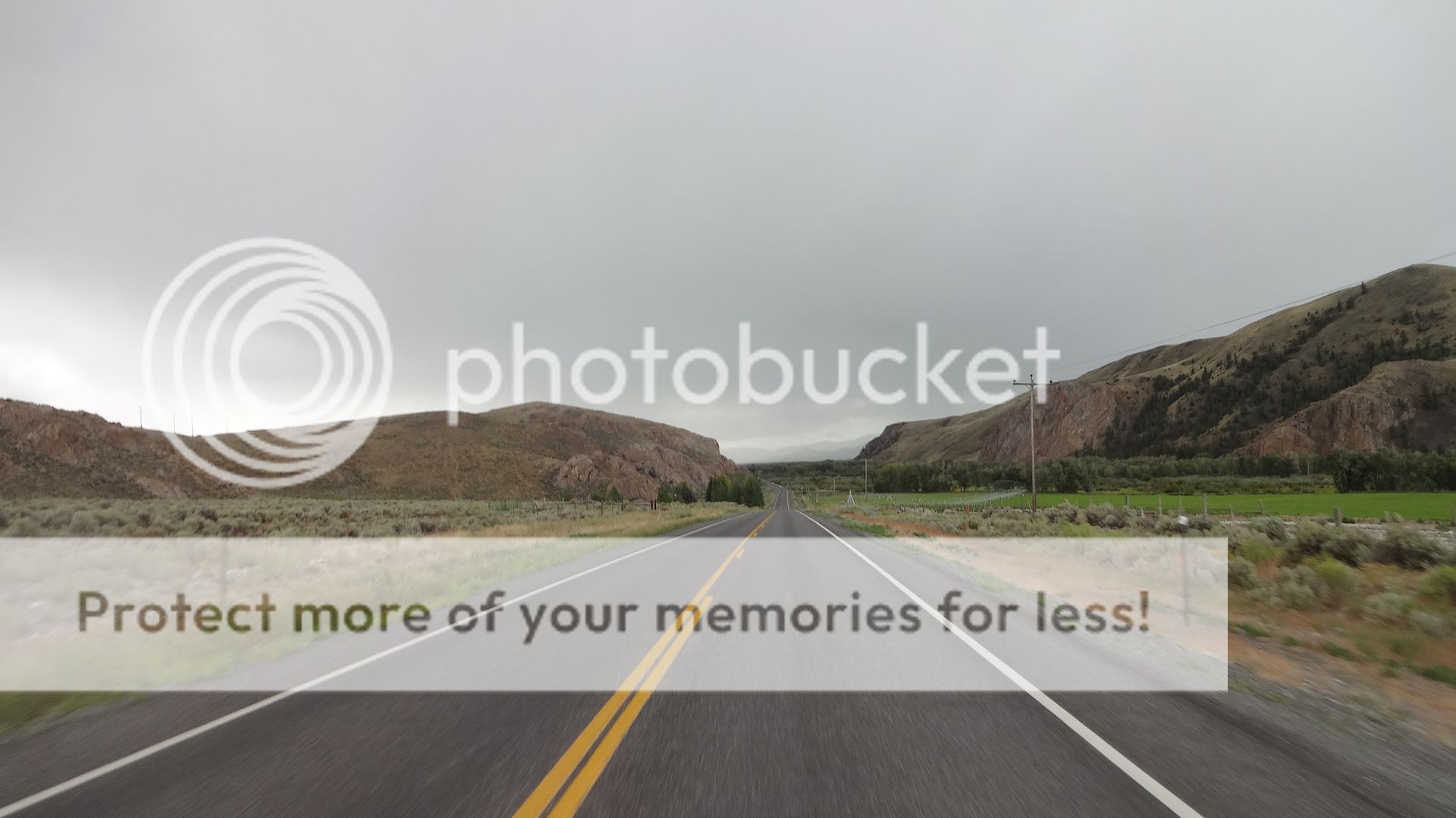
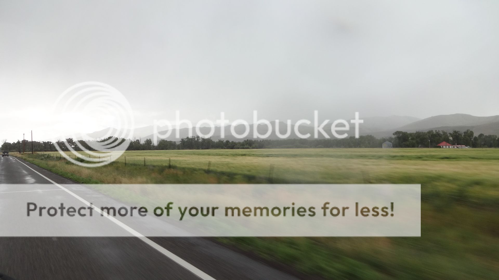
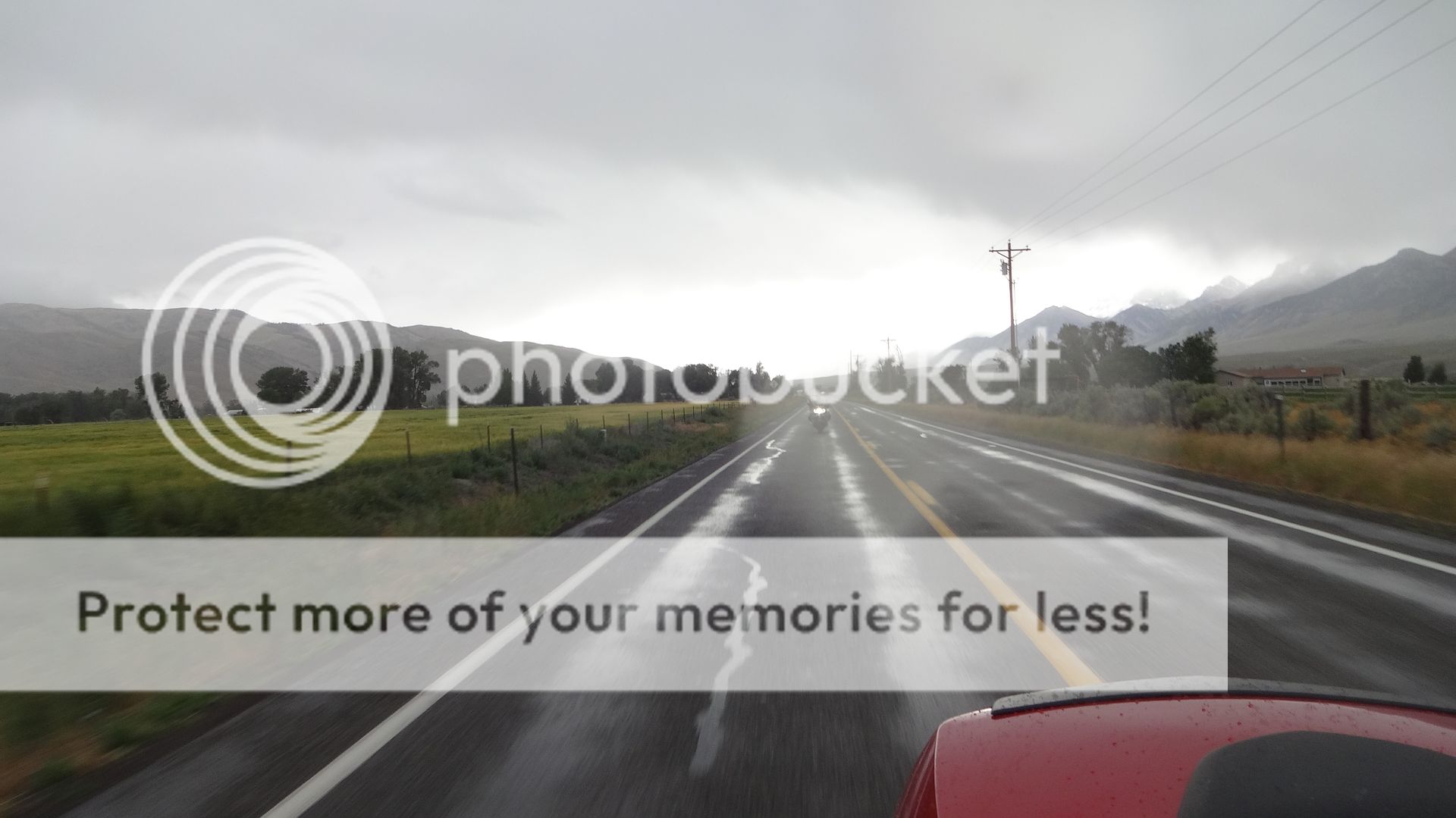
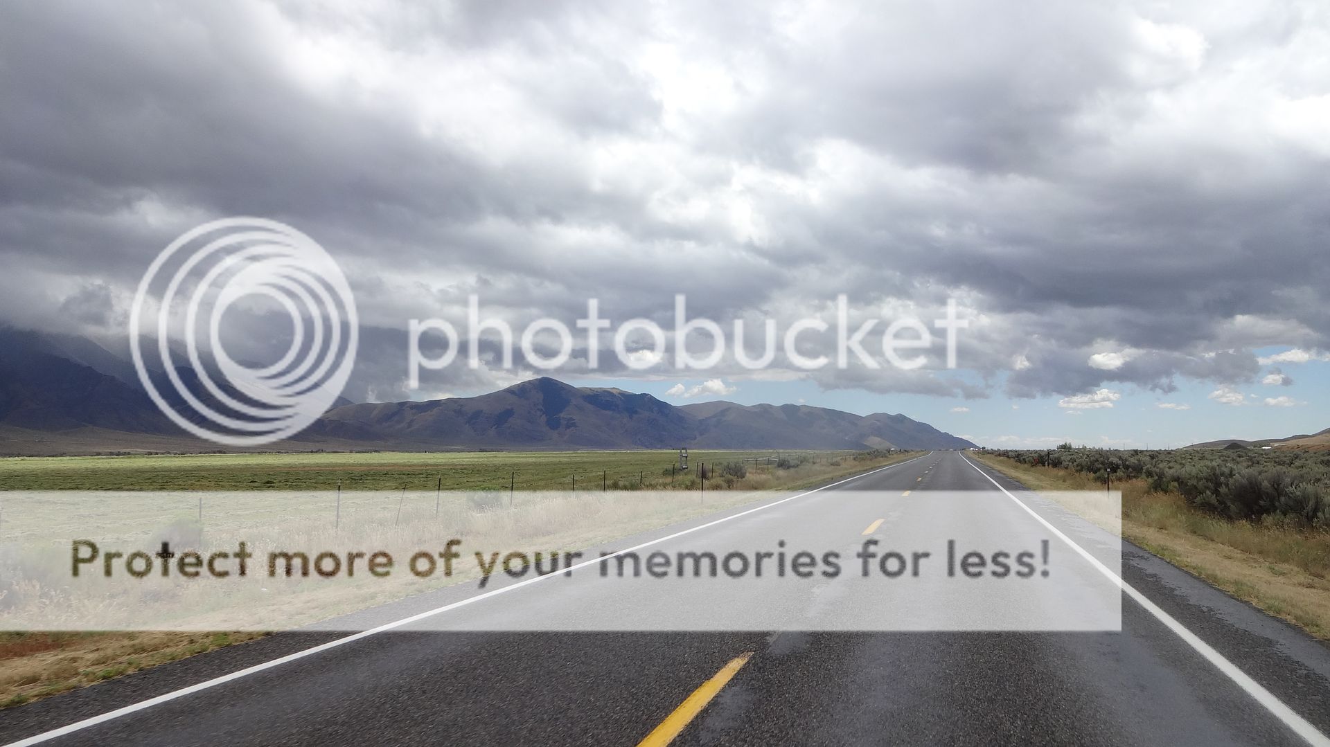
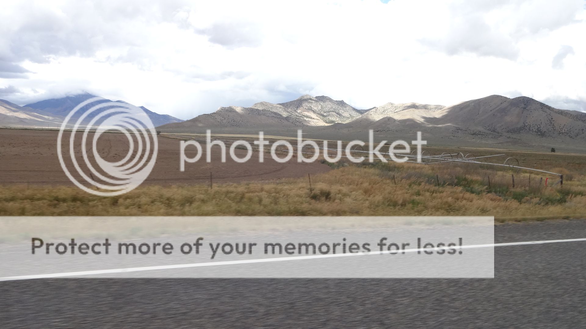
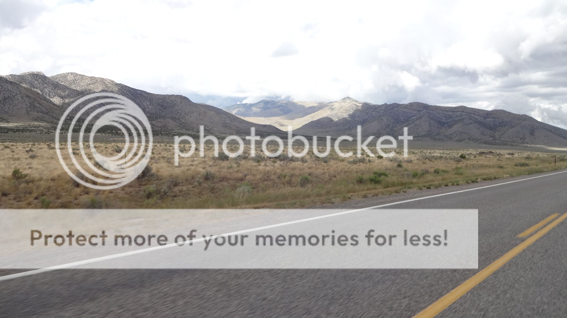
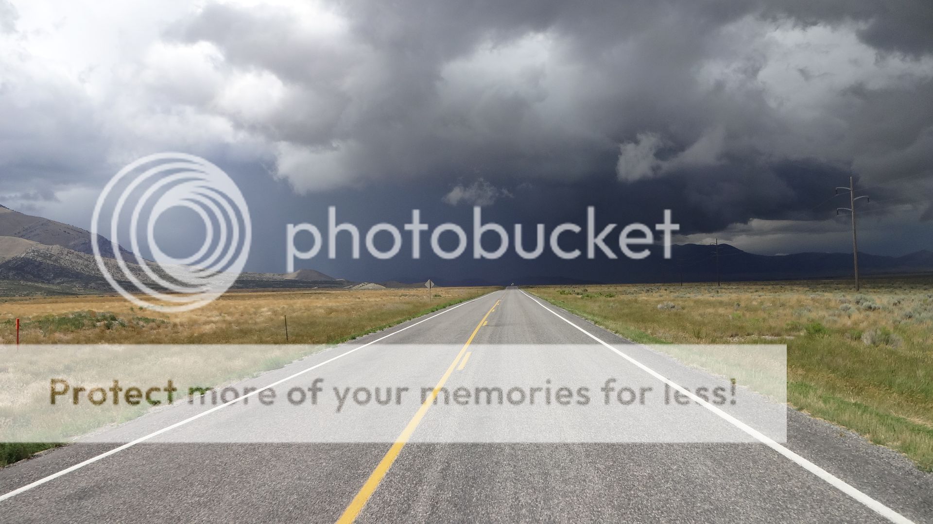


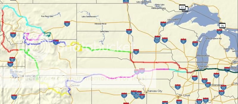
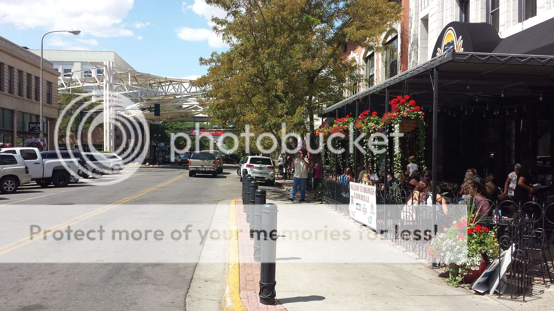
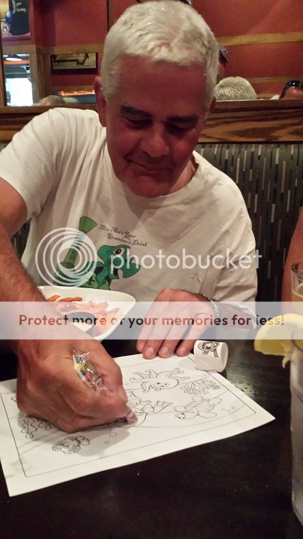
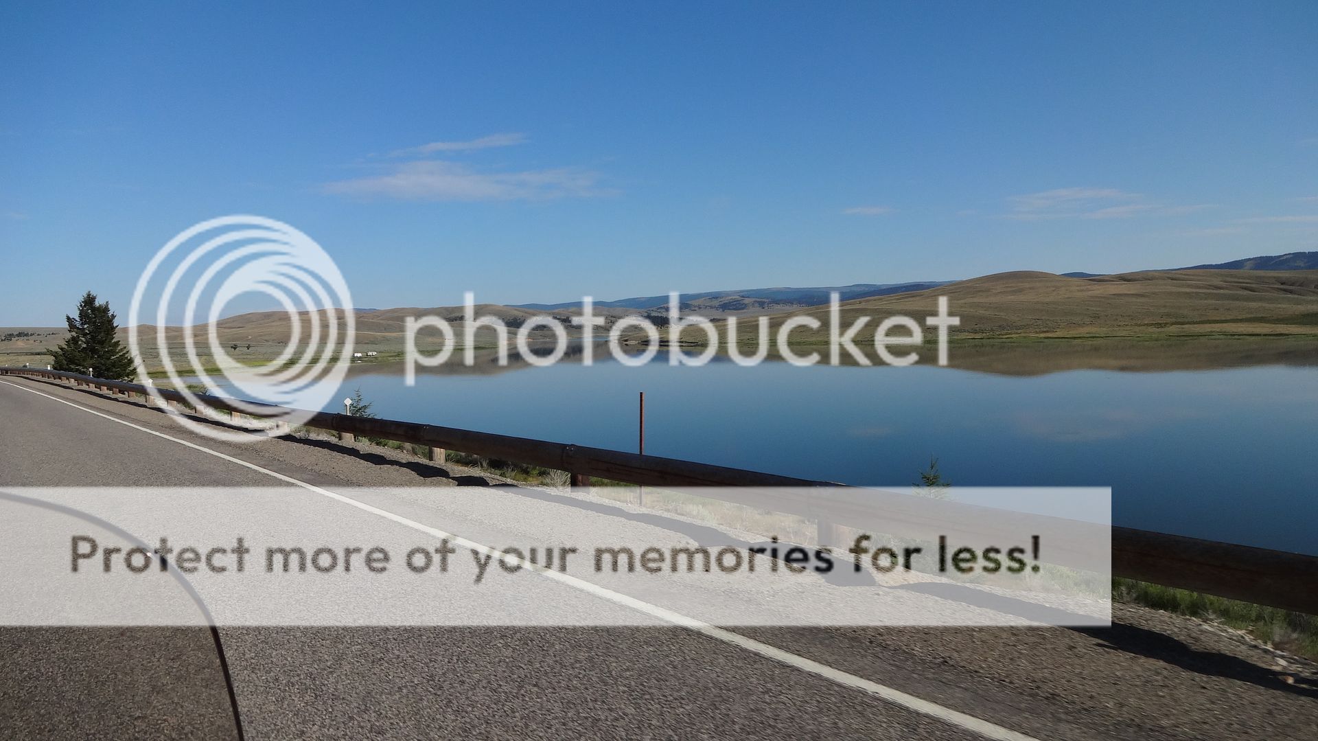
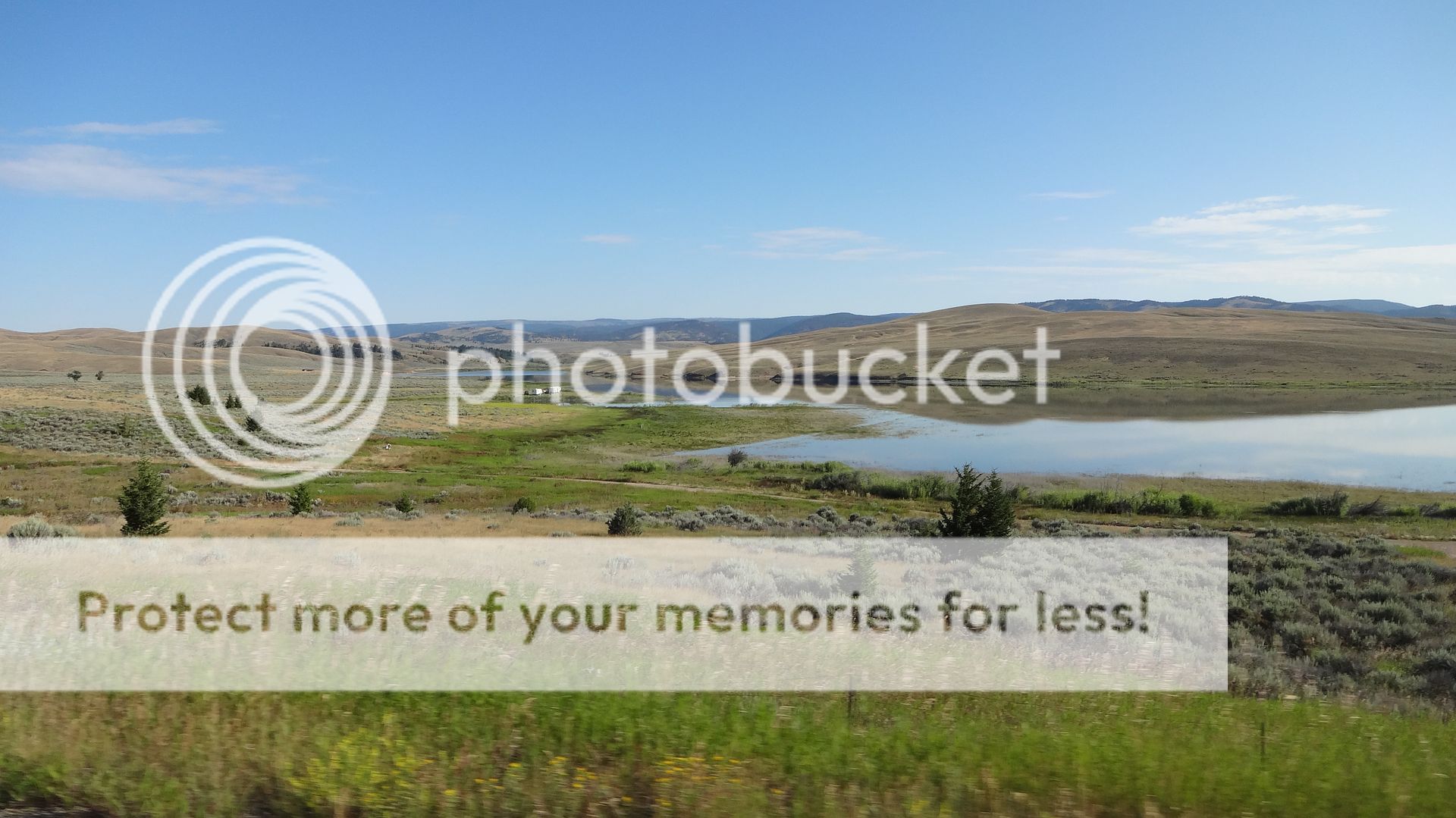
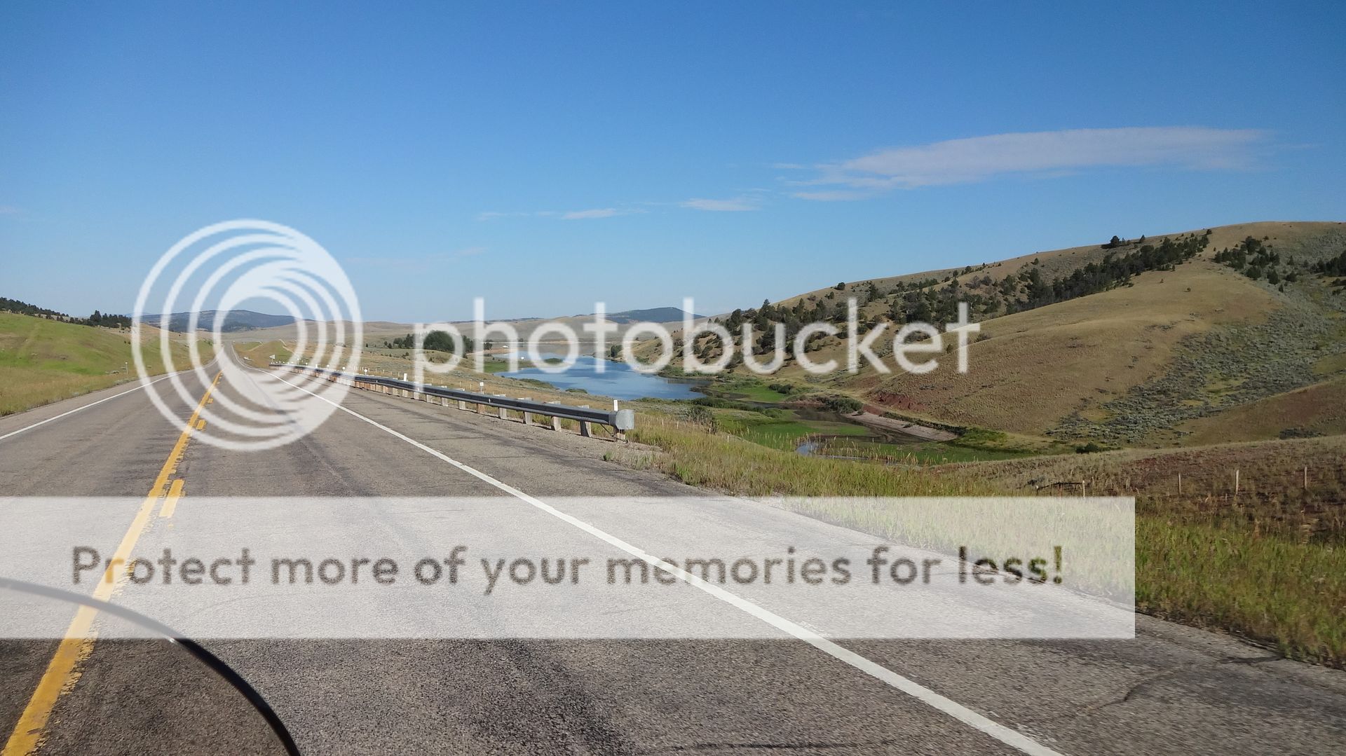
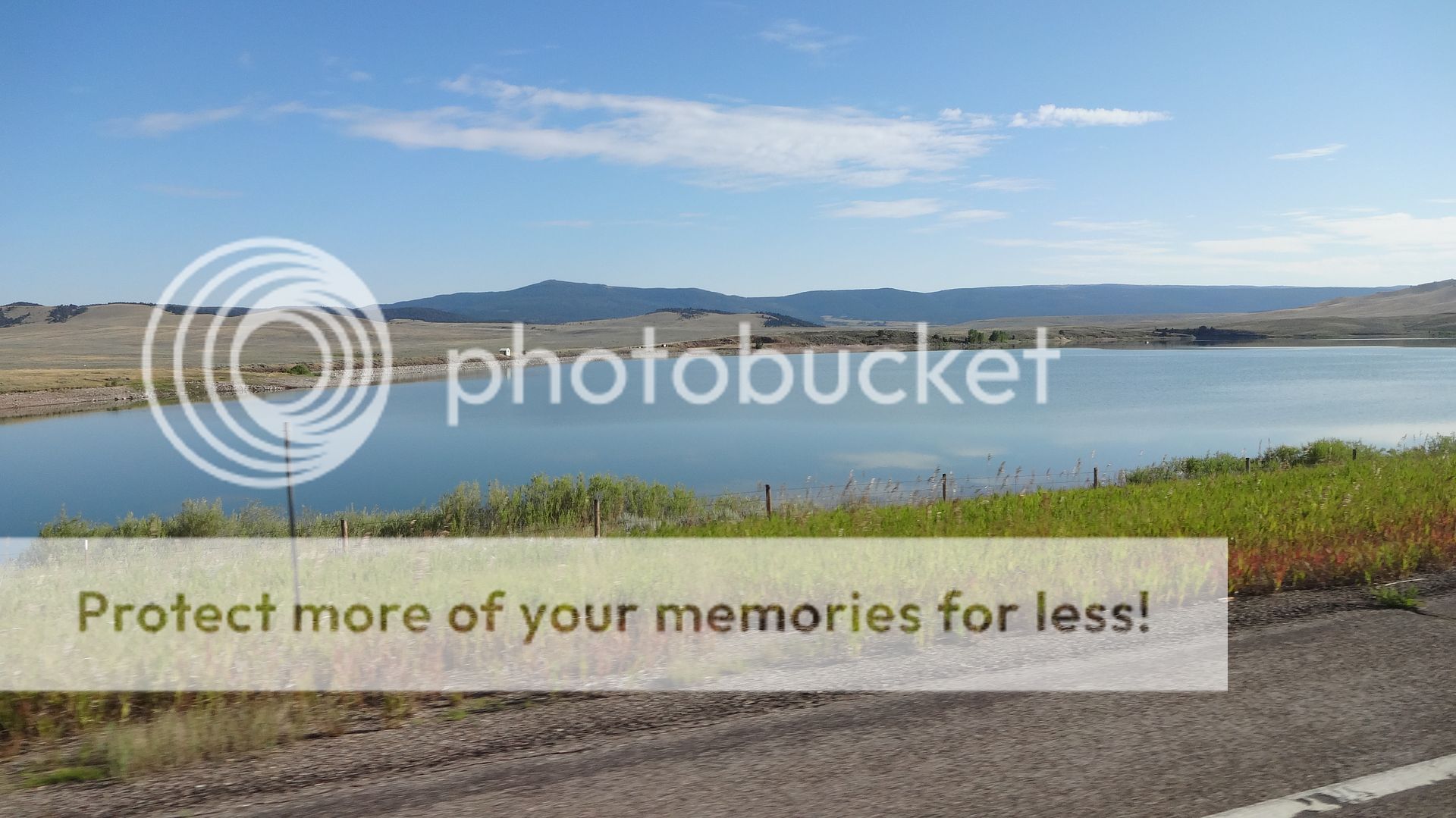
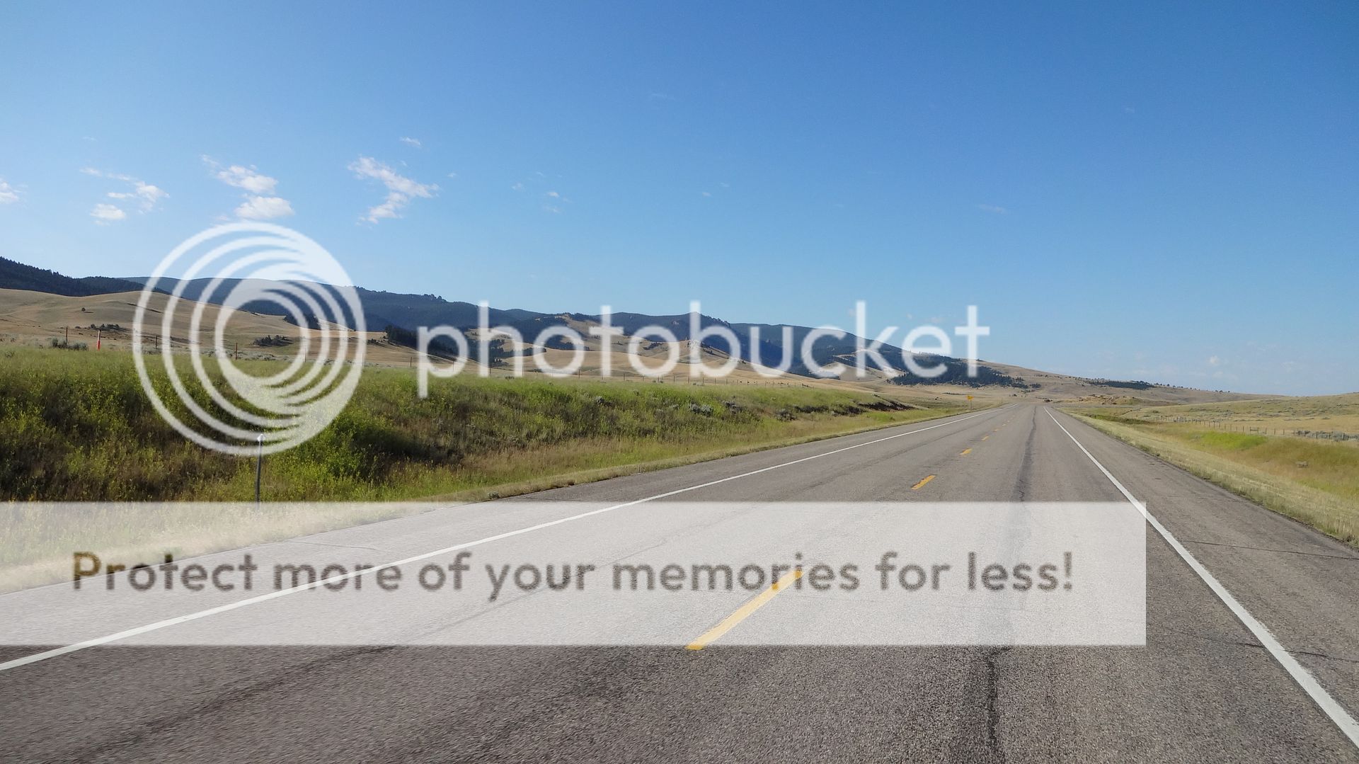
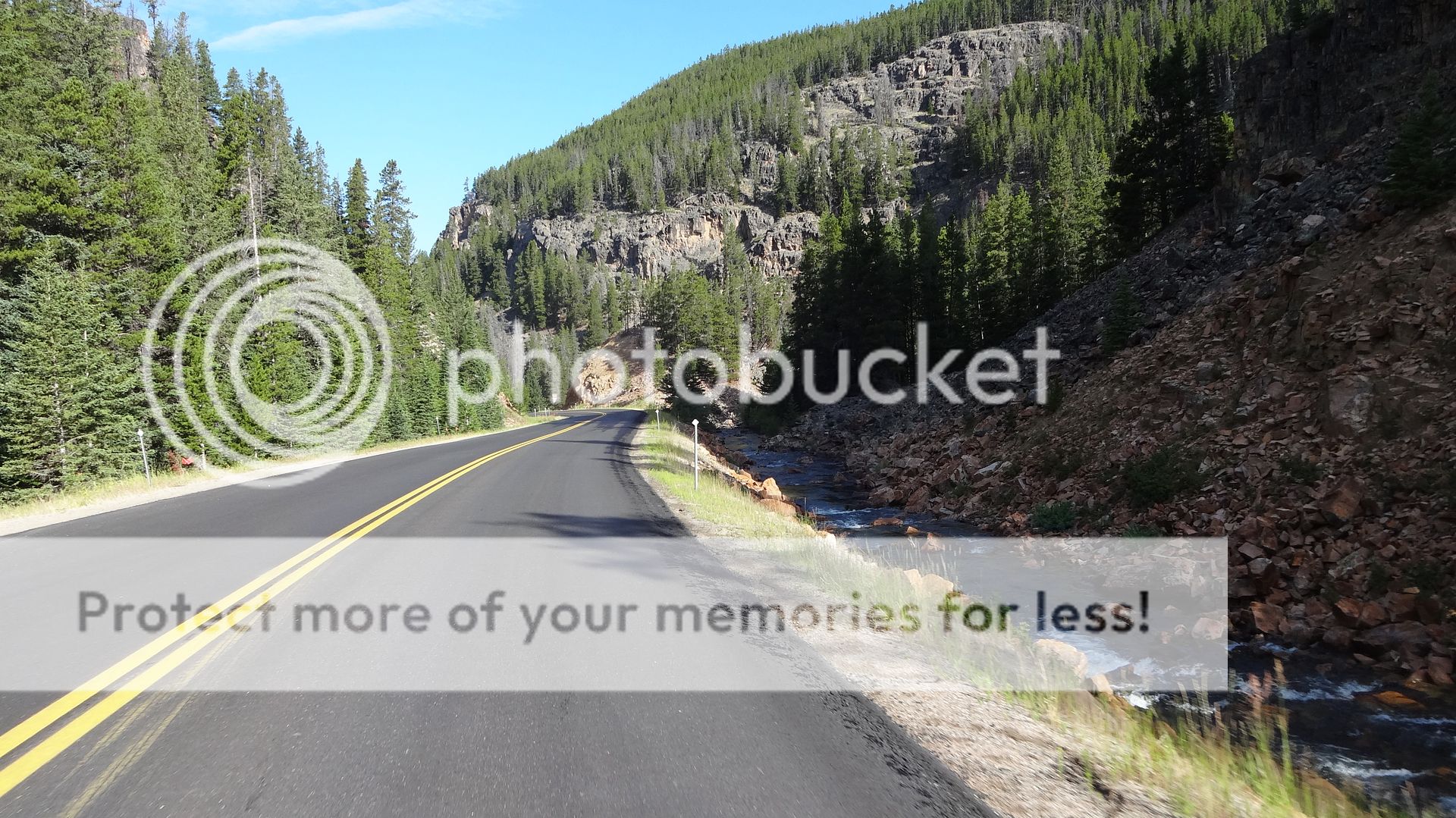
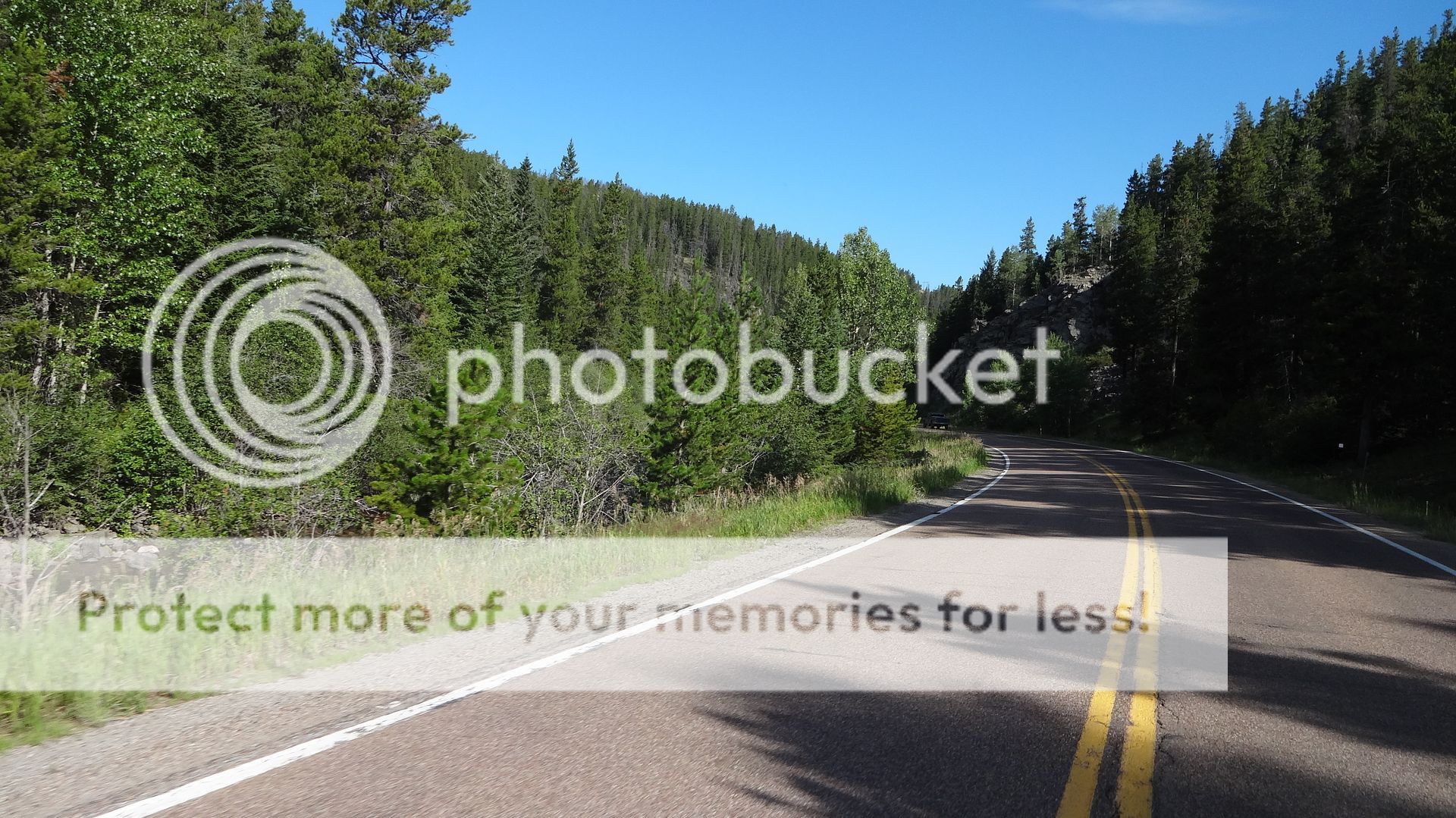
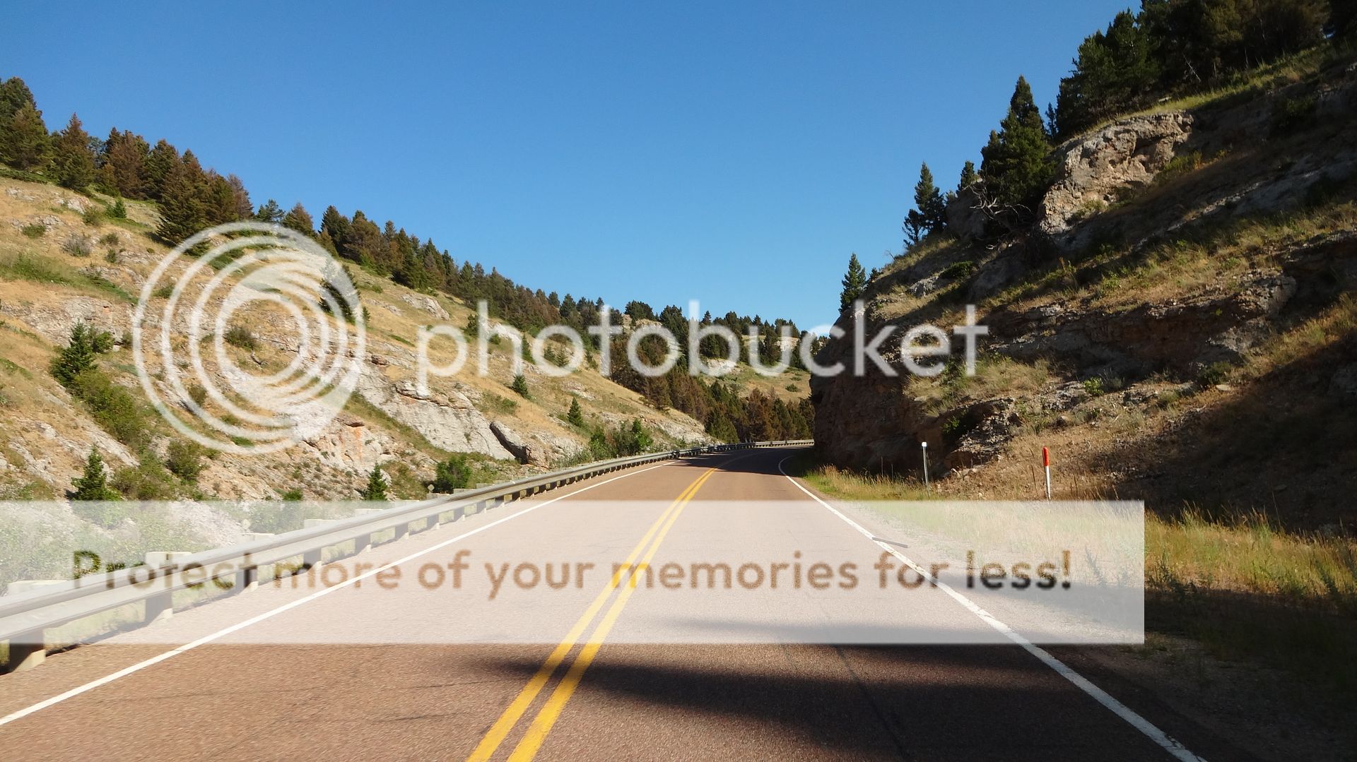
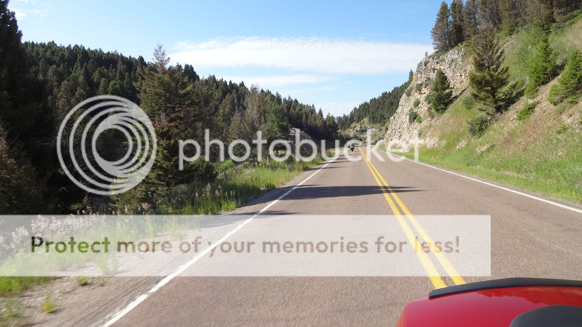
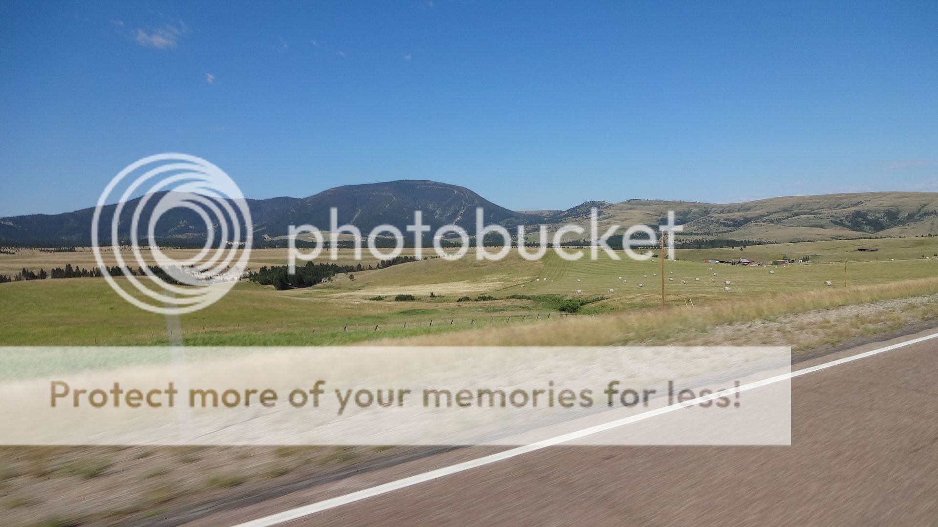
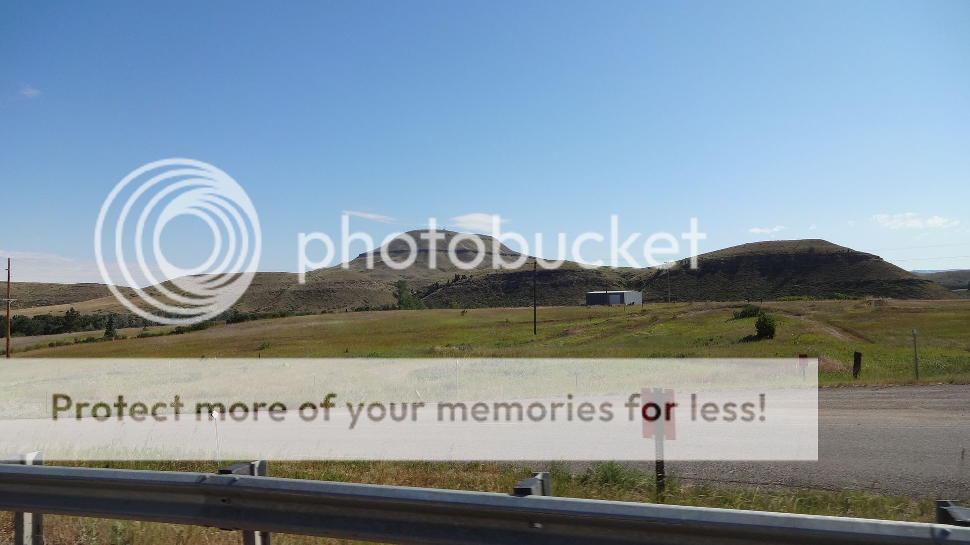
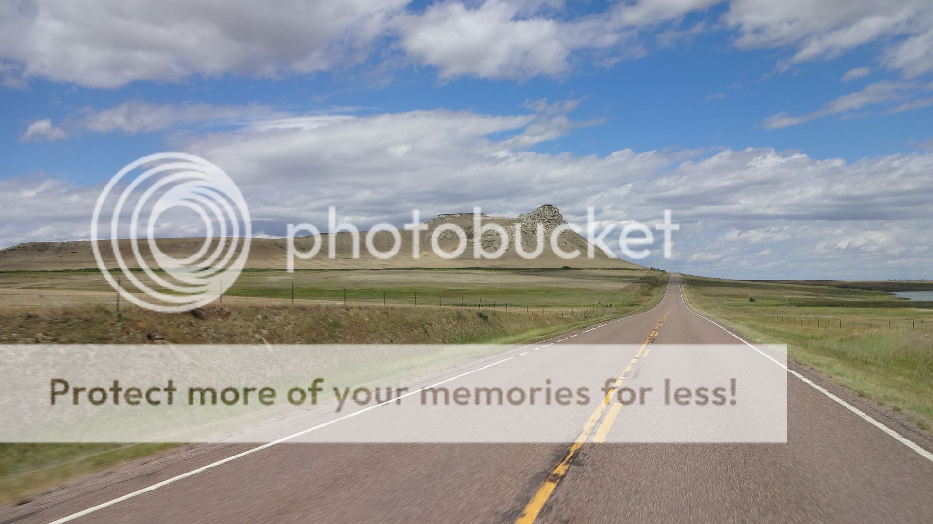
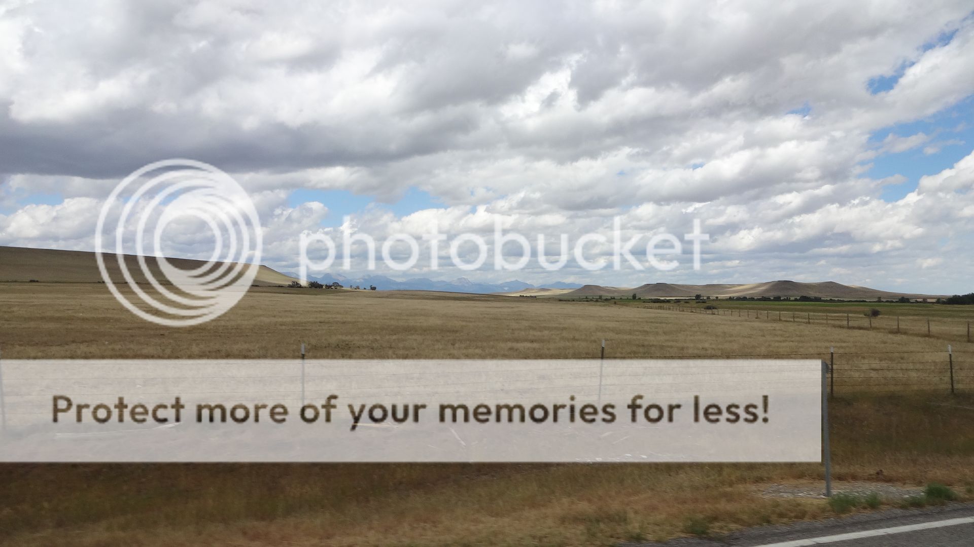
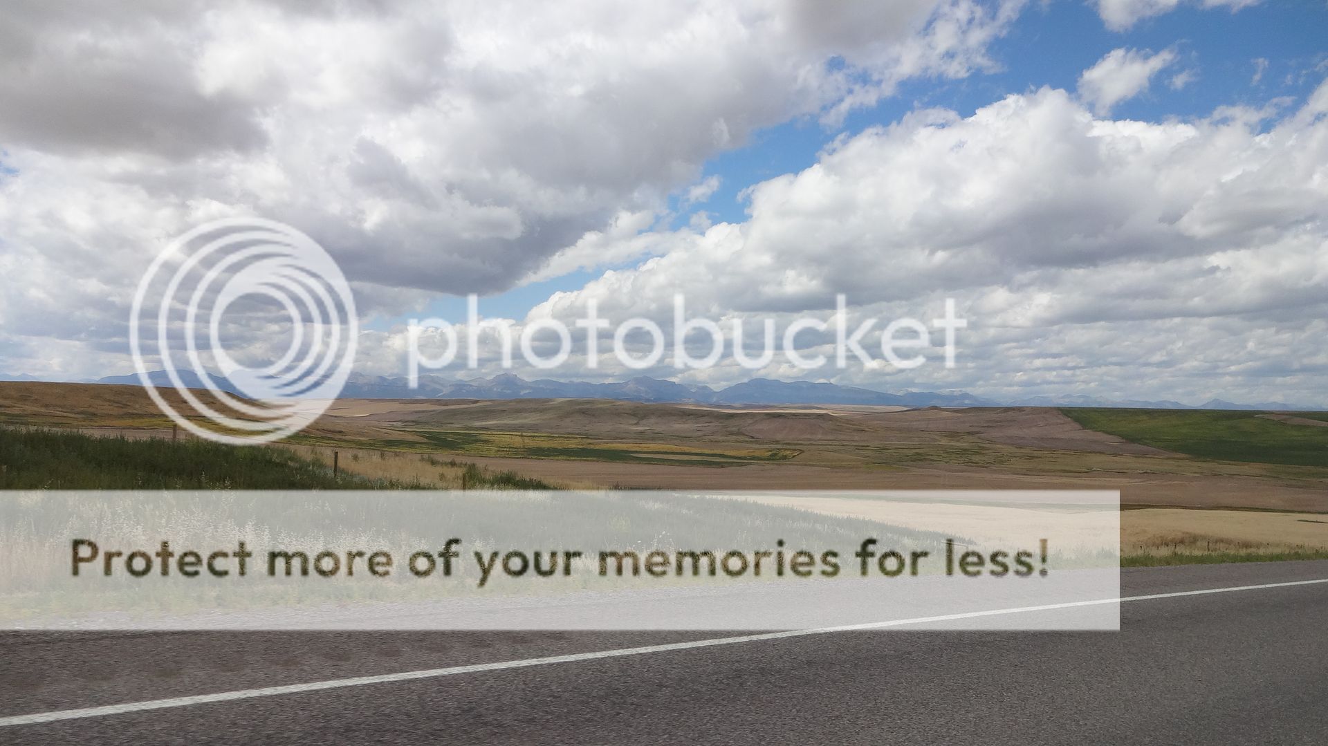
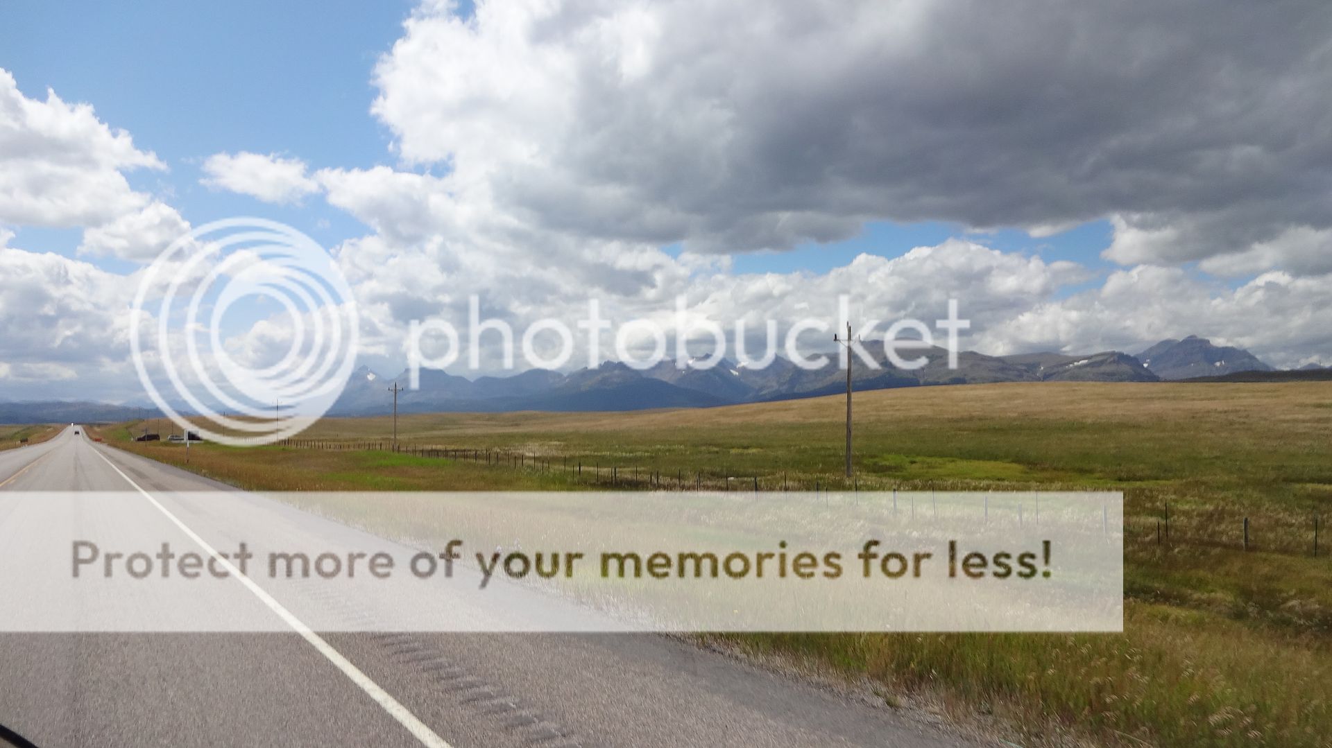
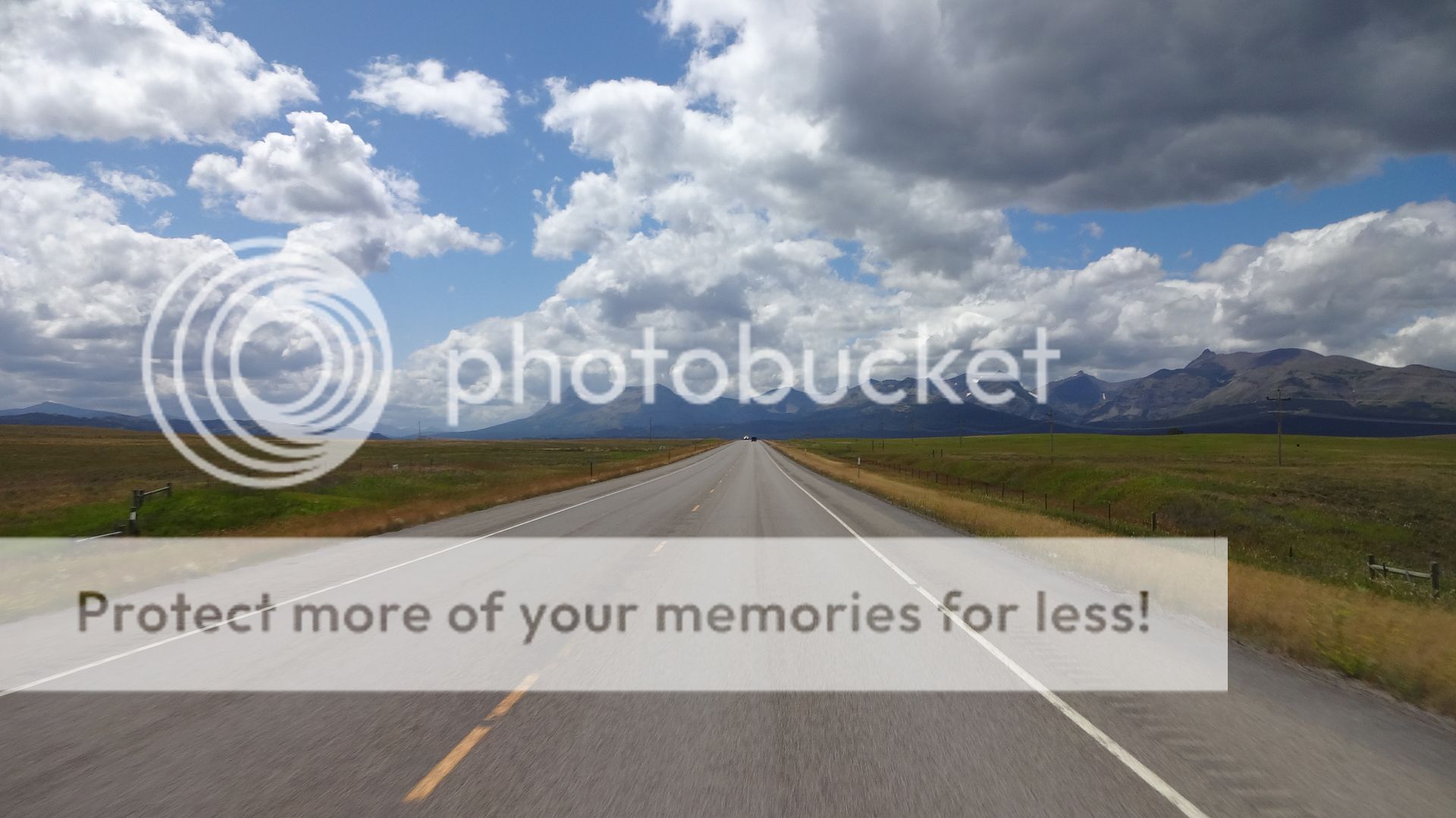
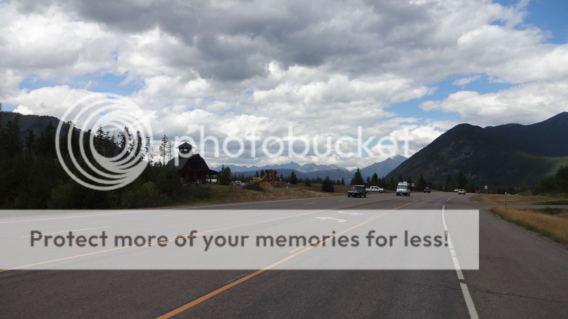
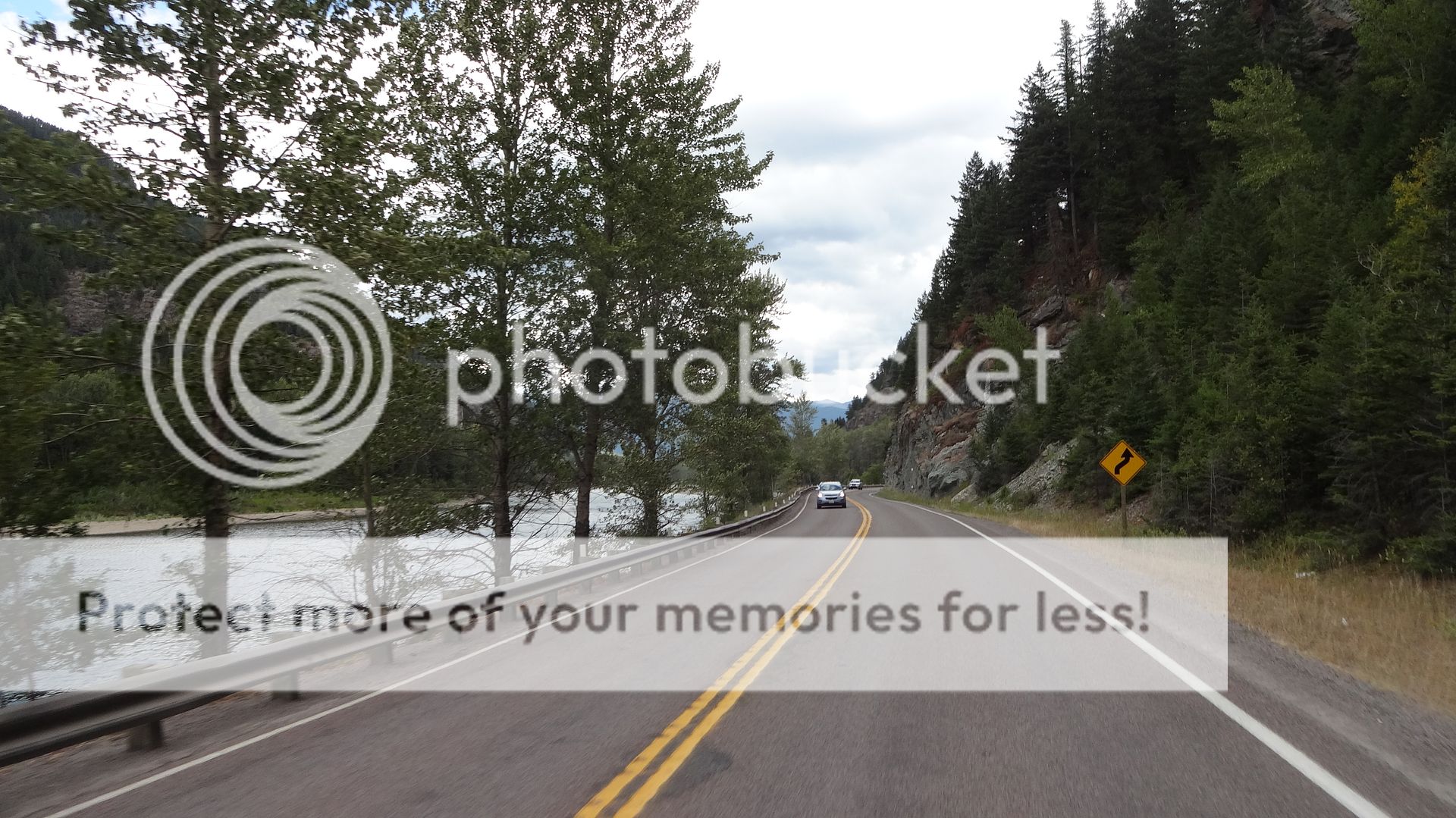
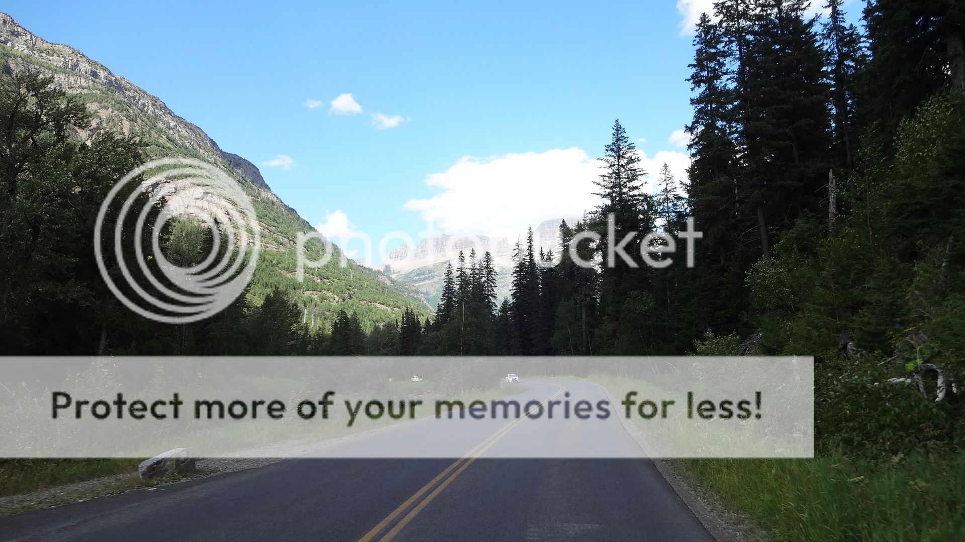
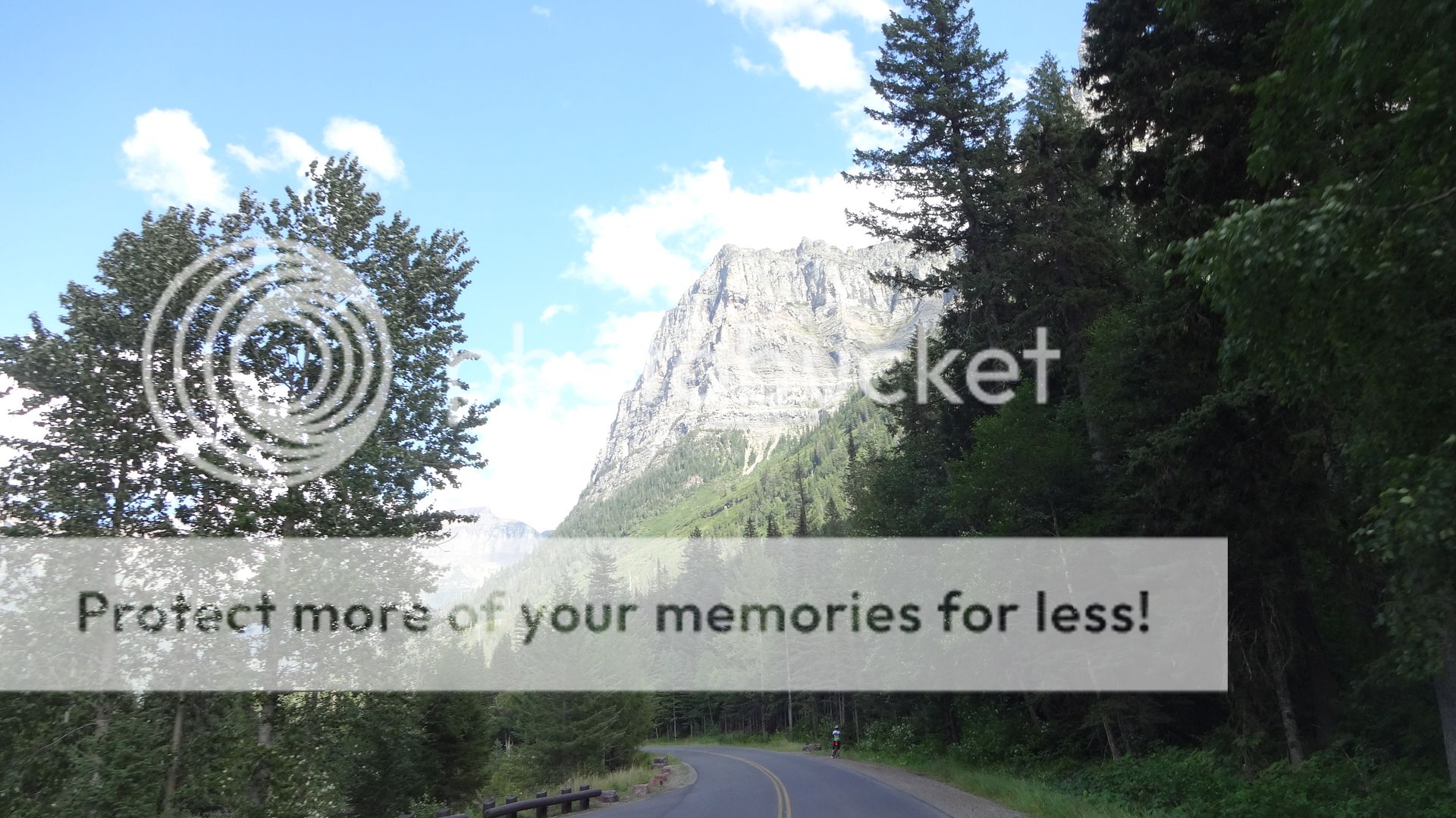
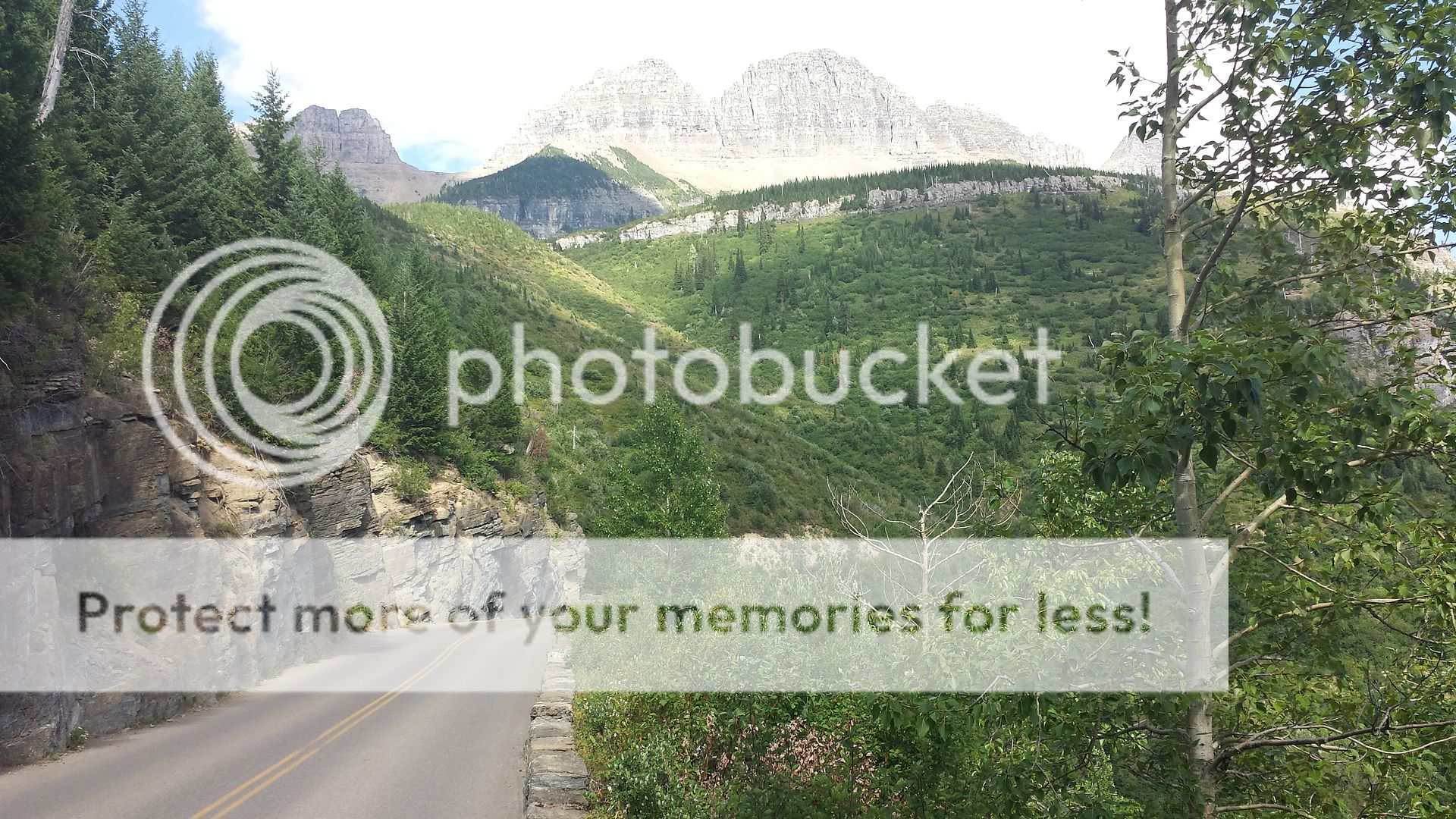
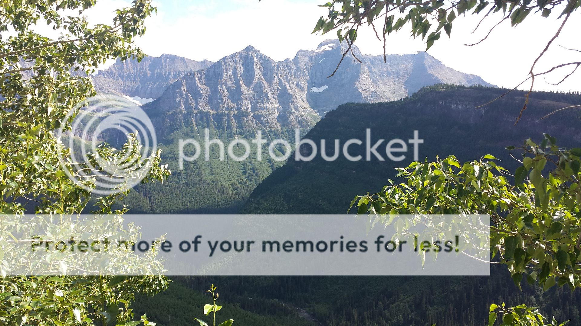
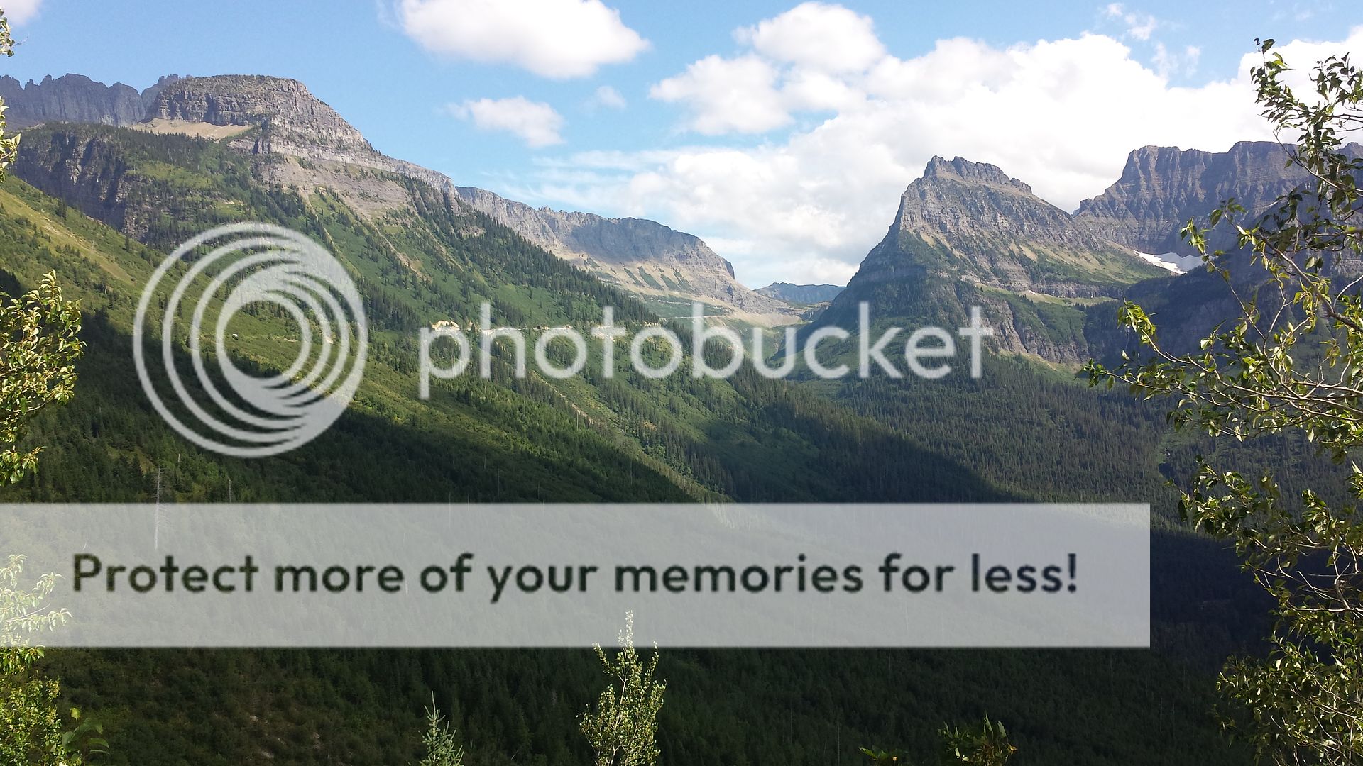
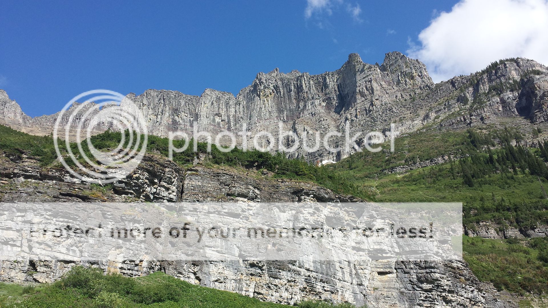
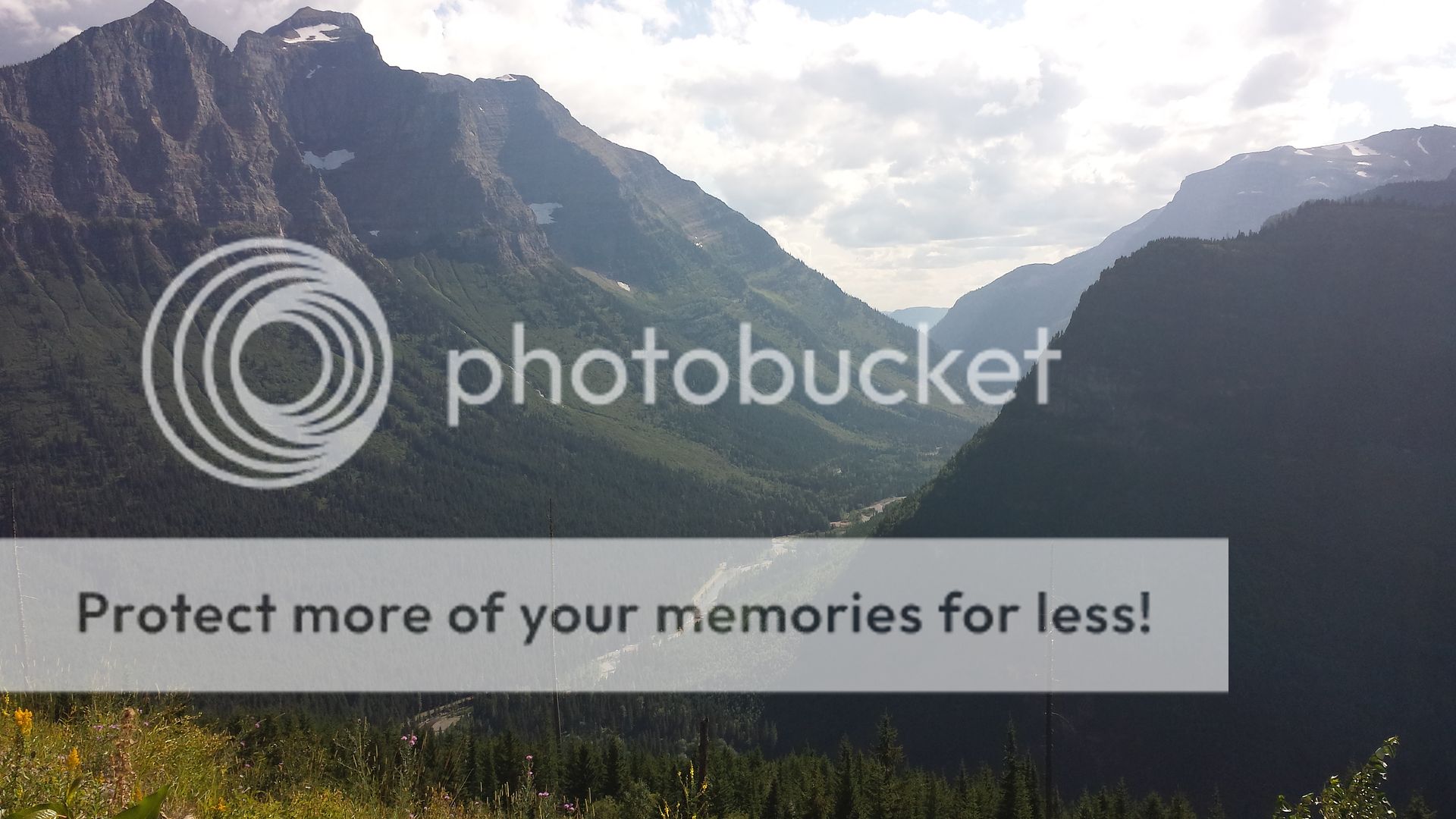
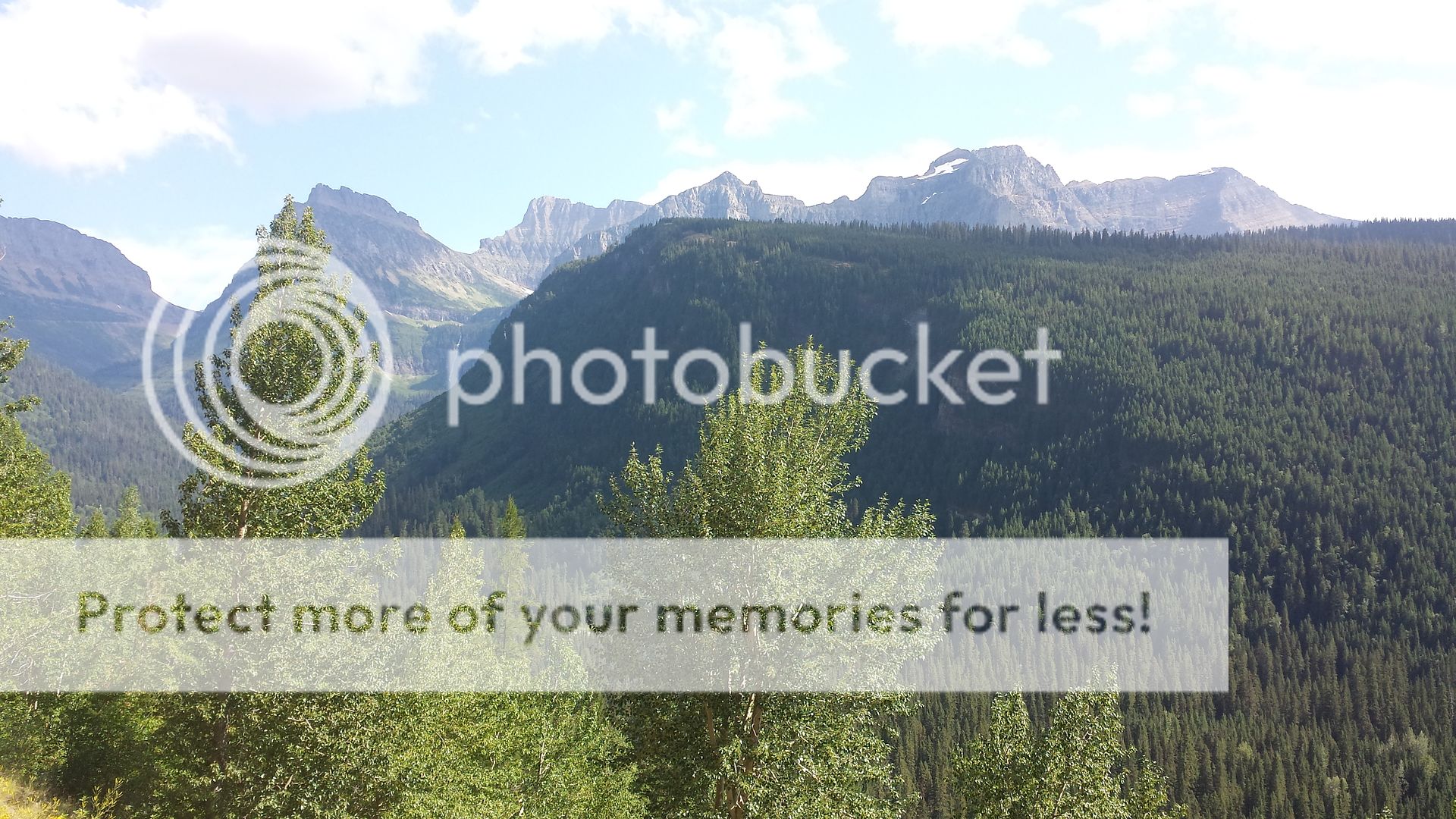
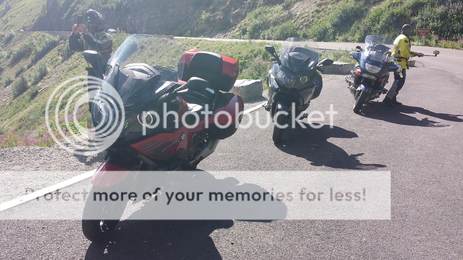
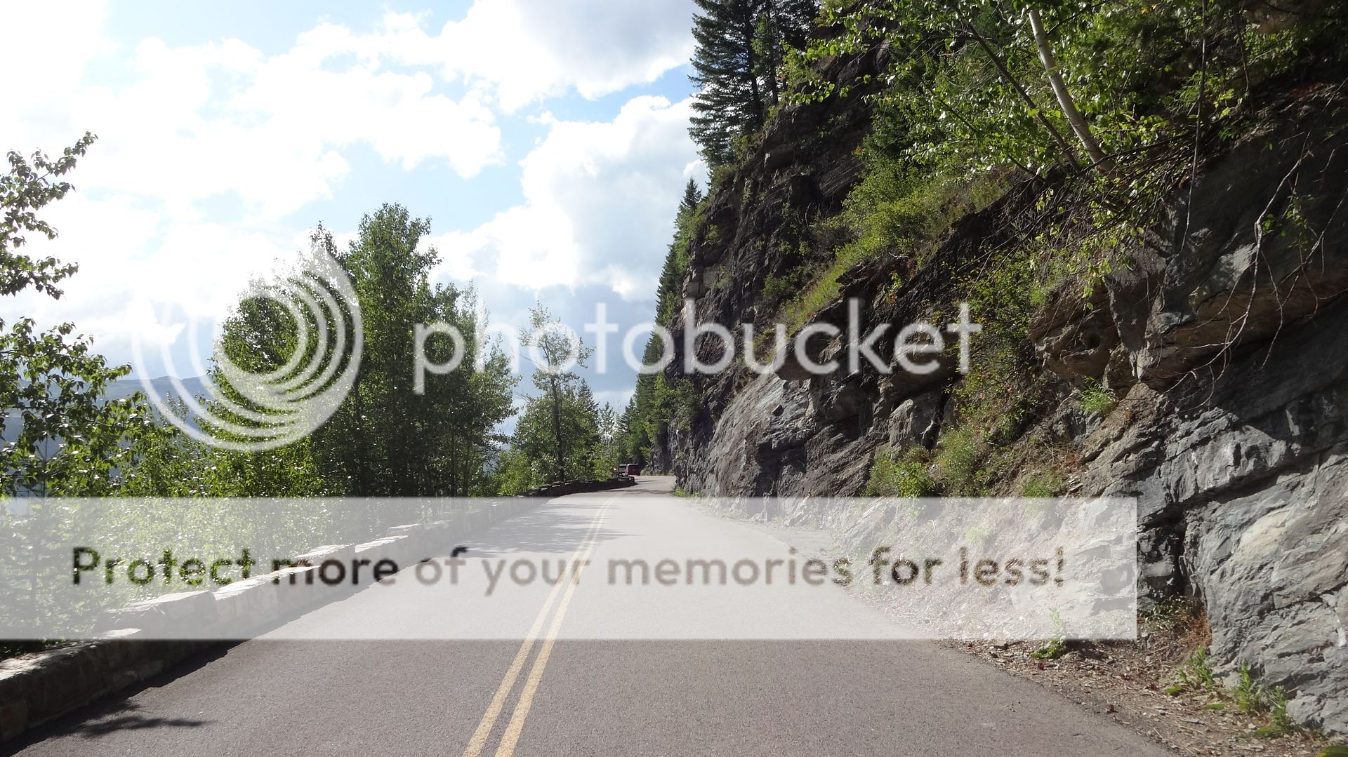
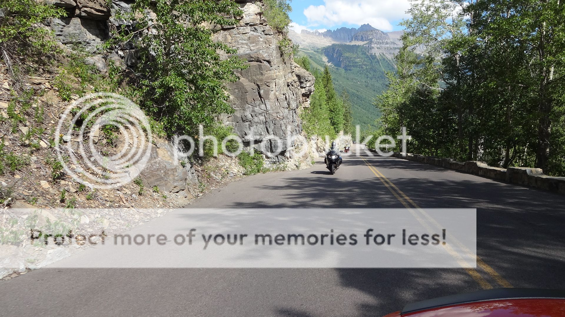
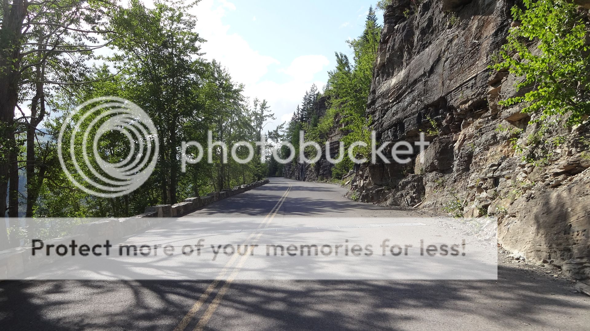
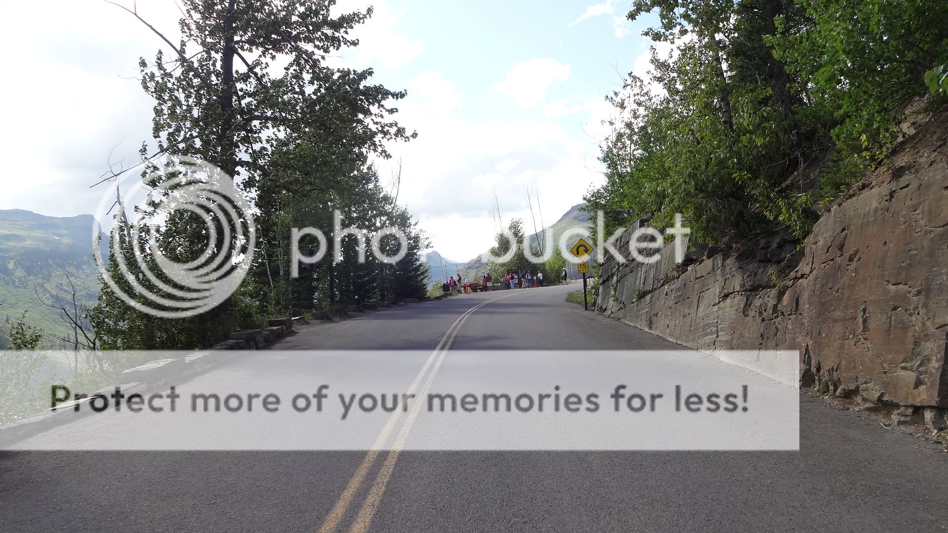
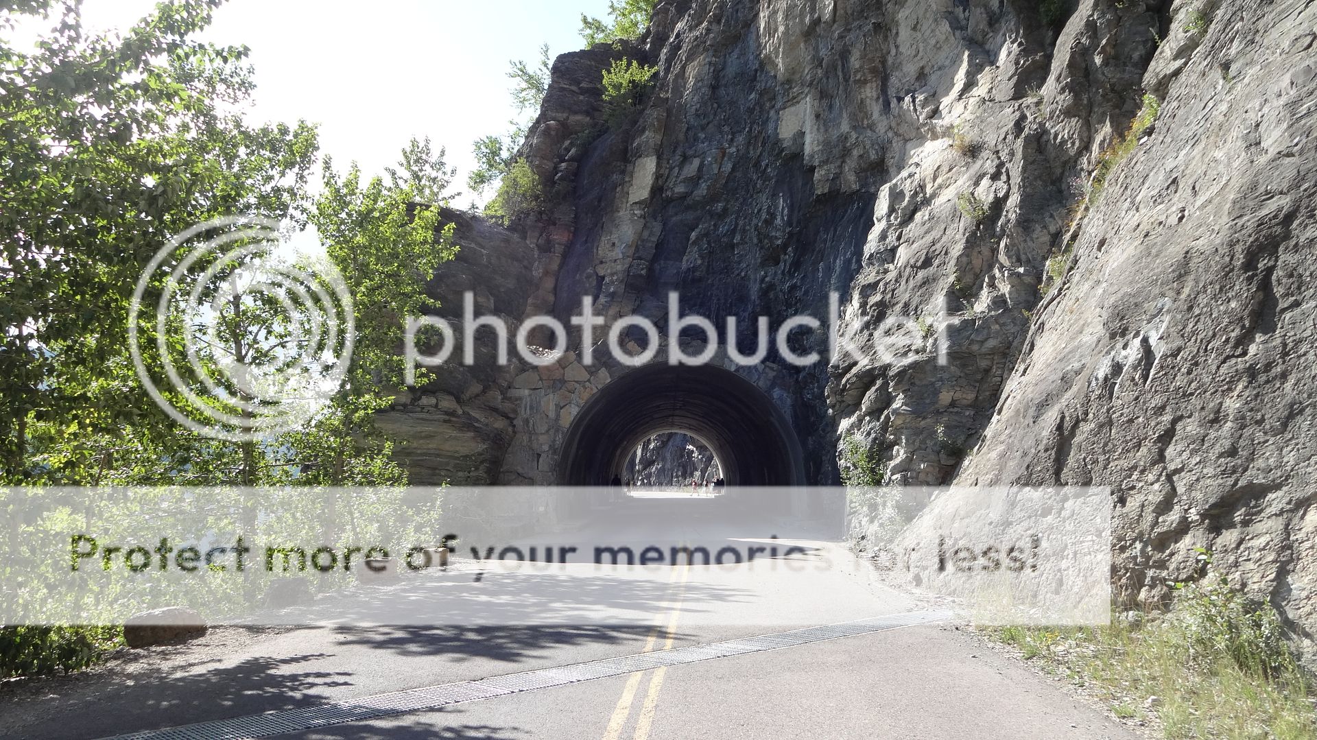
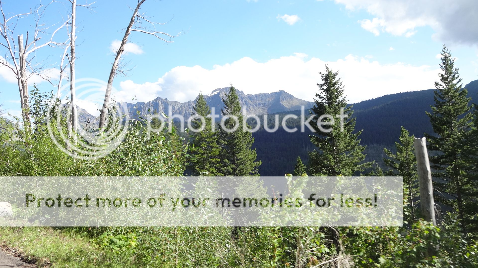
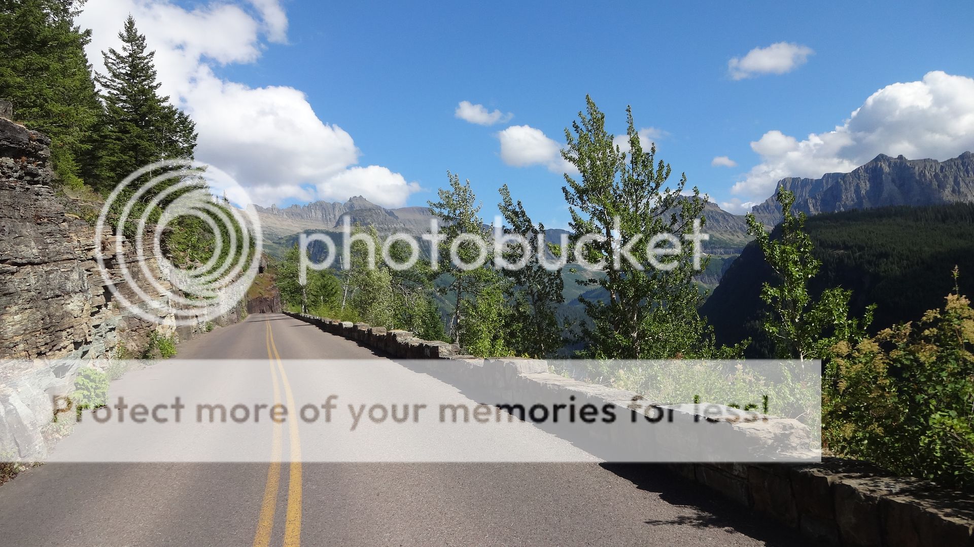
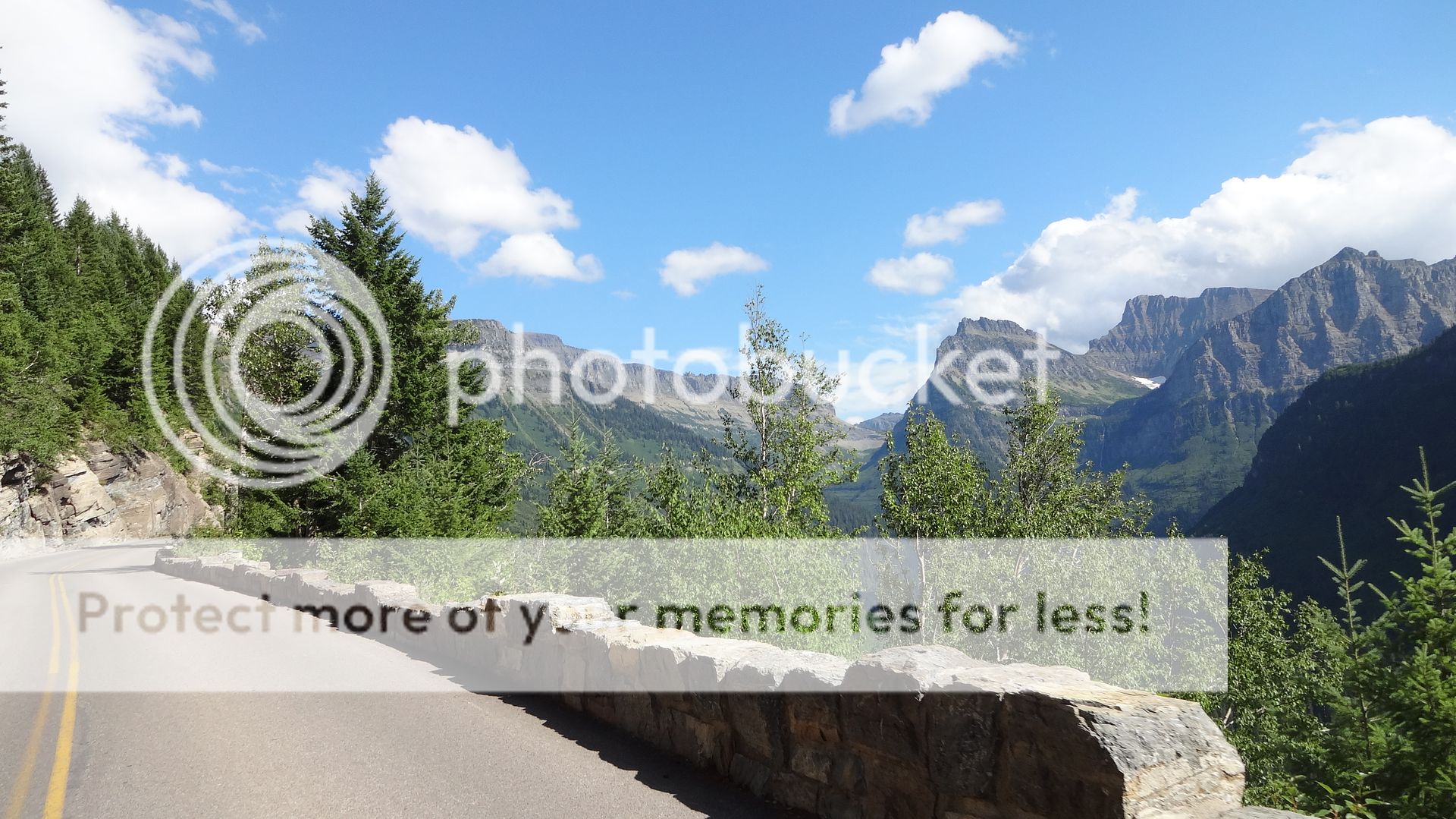
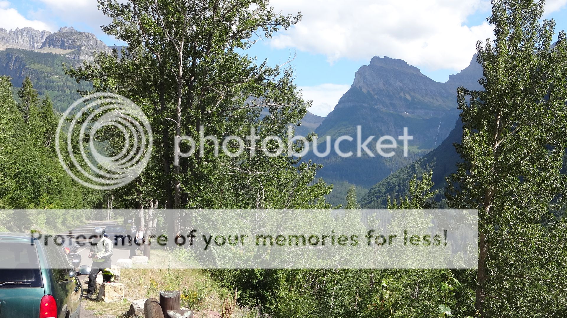
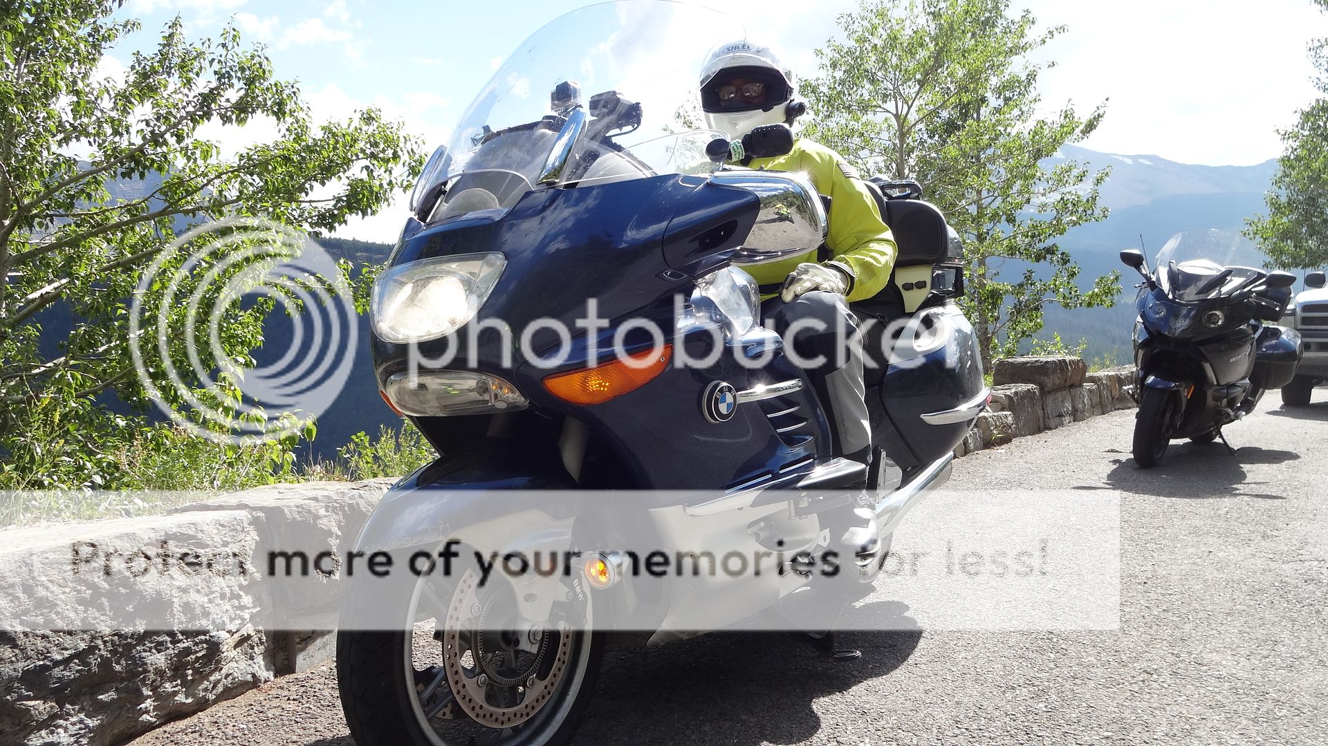
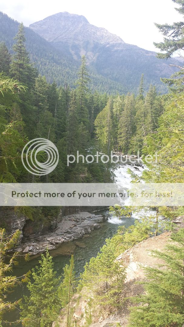
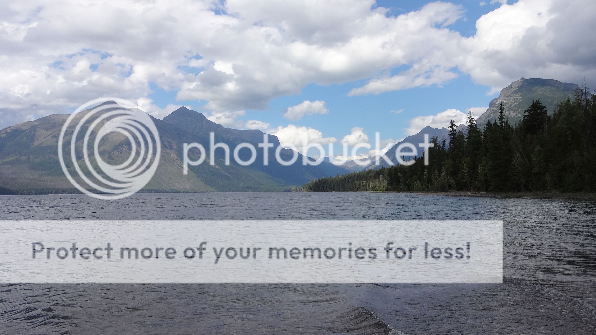
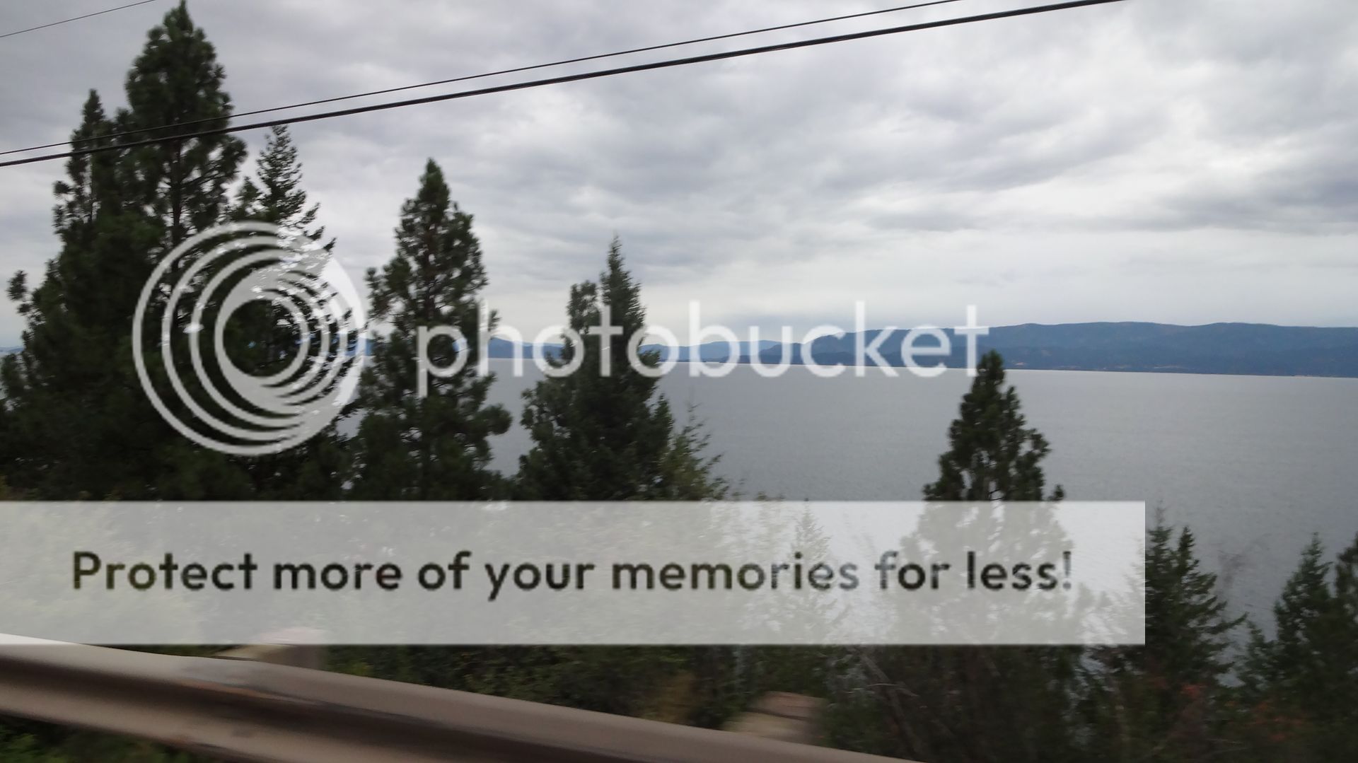
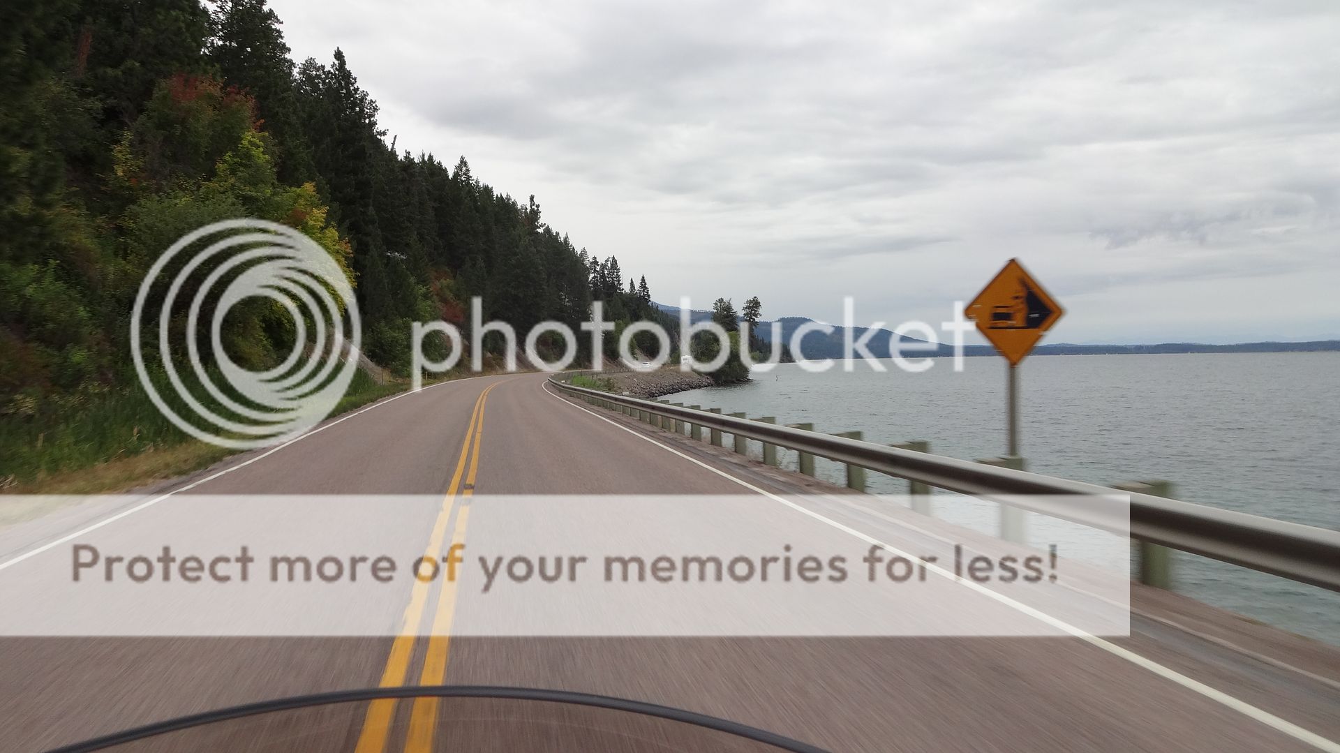
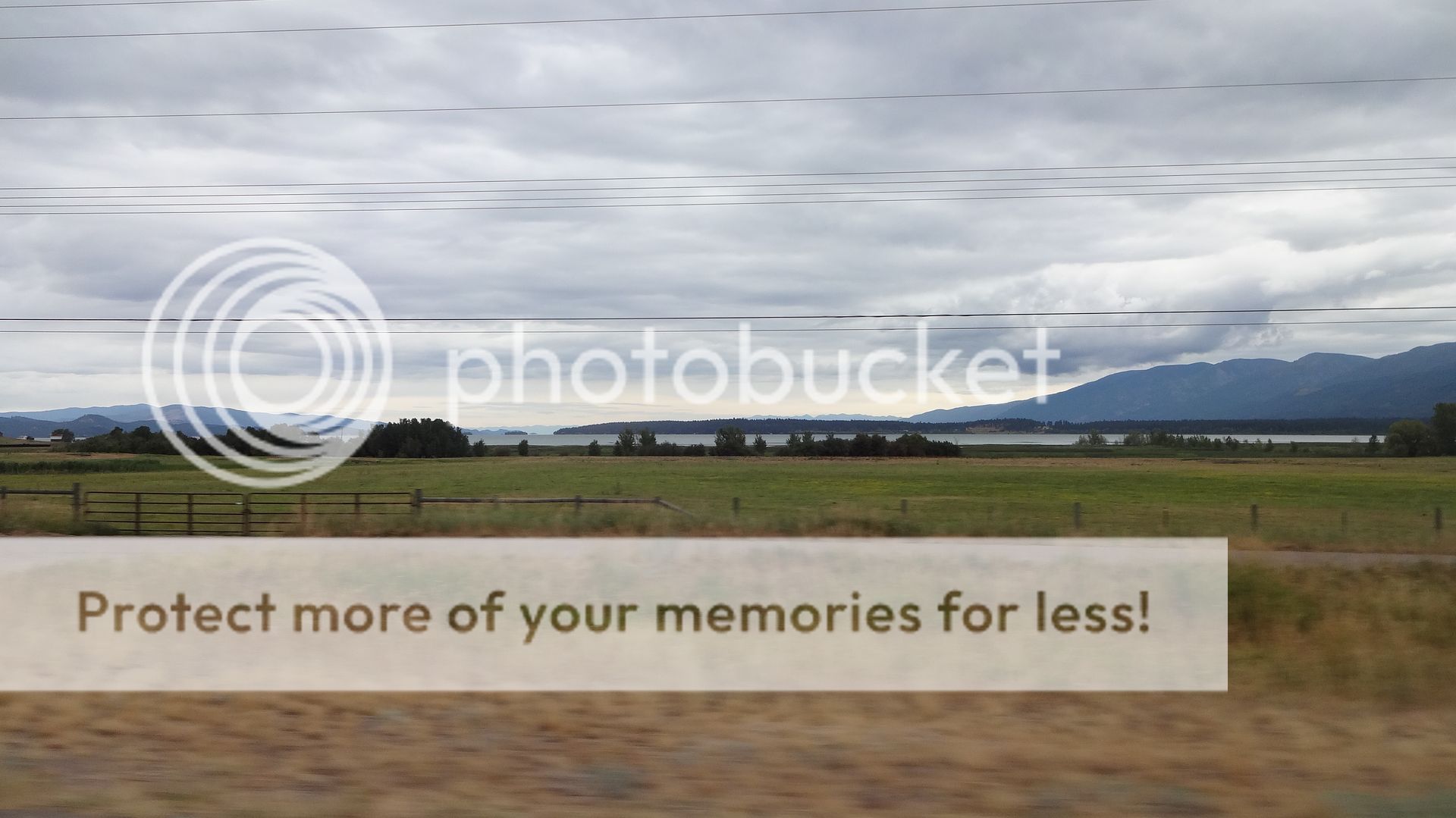
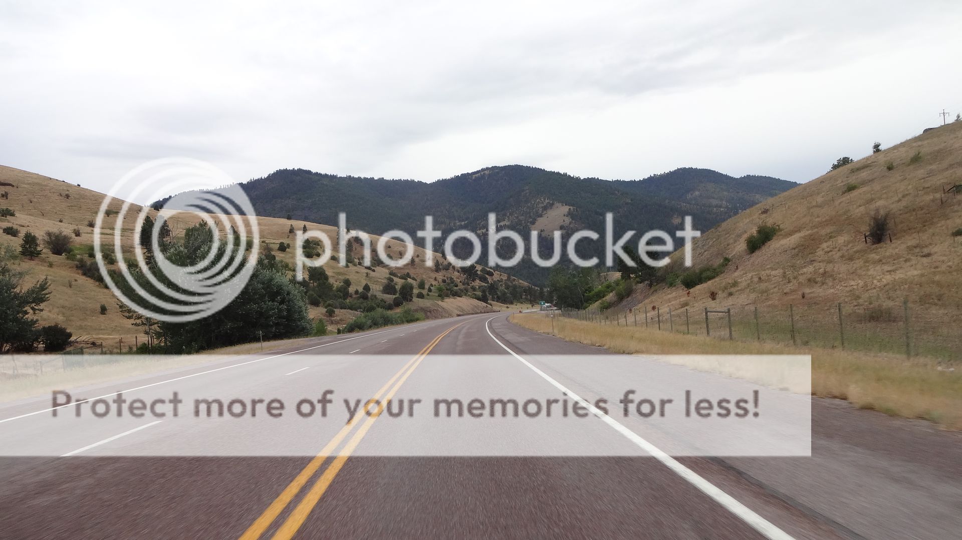
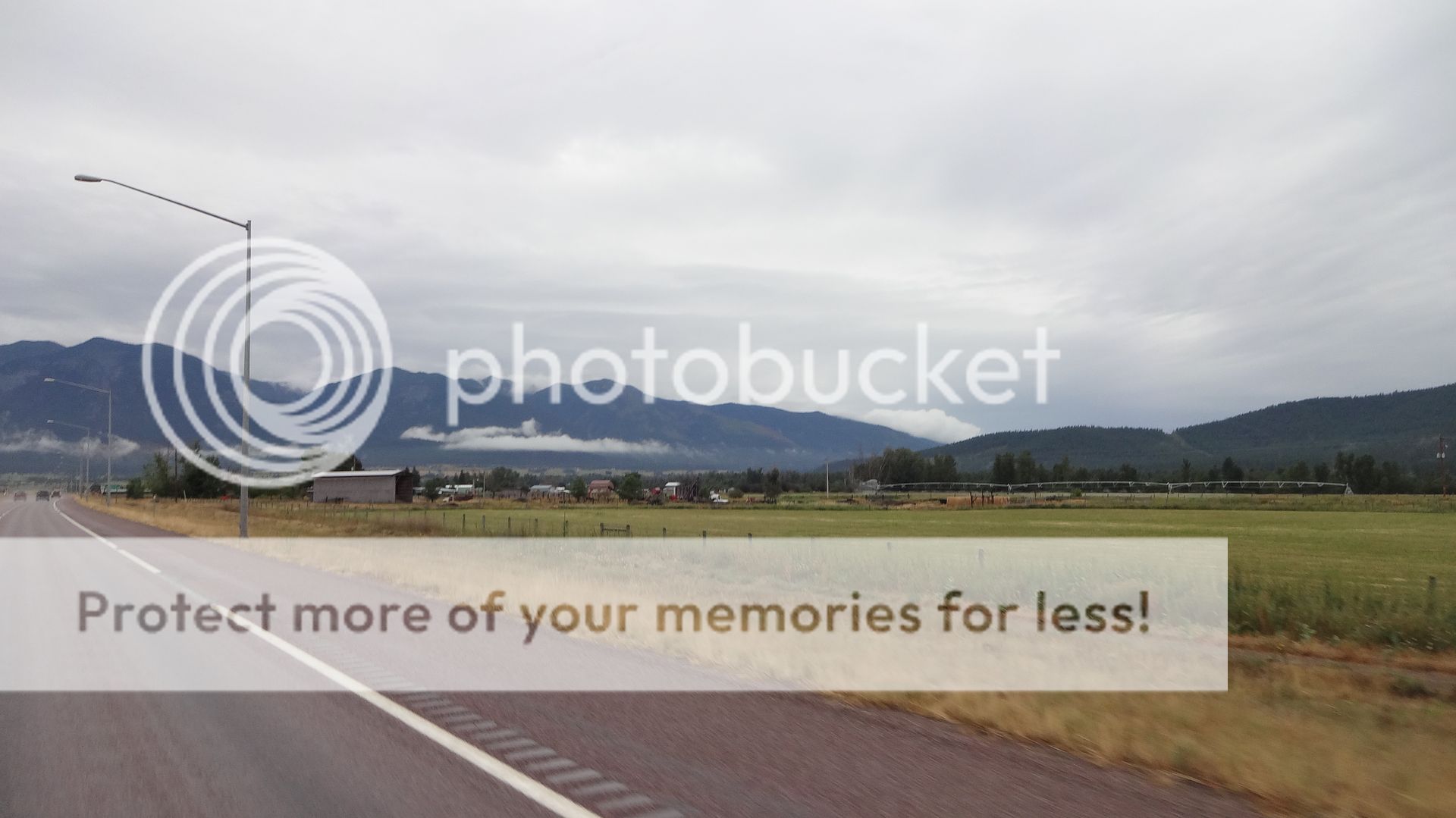
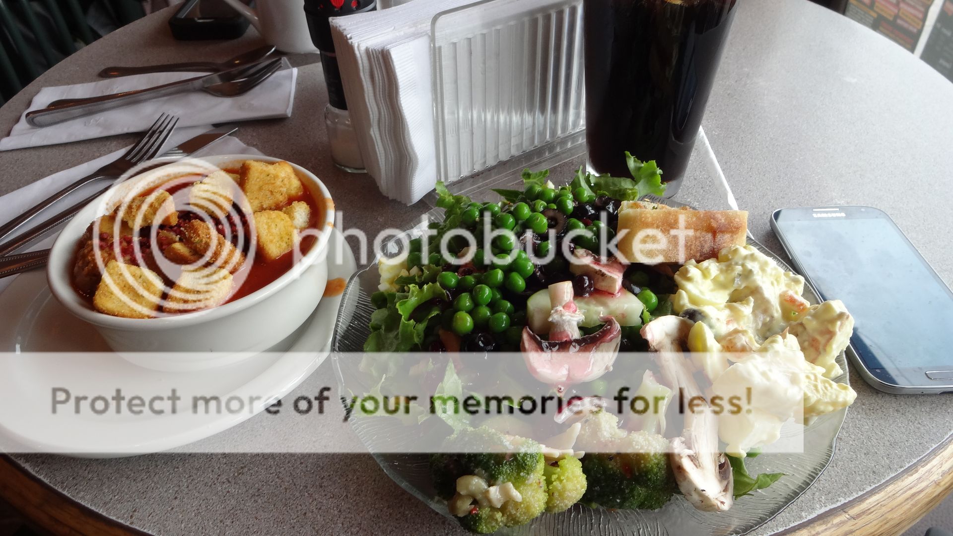
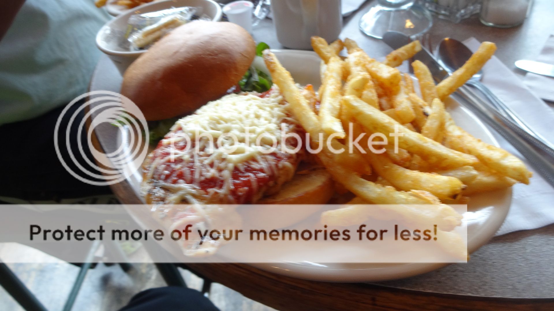
Andrew- It's so cool how you and your "Pops" do this stuff together. Treasure every moment as I know you do. So you had the same rain on 93 as we did, must be the norm thereKJ, we also drove 93 into Idaho and it was a really nice road. I would love to get back there on the bike but I do not know when that might happen. Where you took your "slide show" I was snapping cell phone pics through the windshield of the truck but the rain all over the windshield kind of messed that up for us.
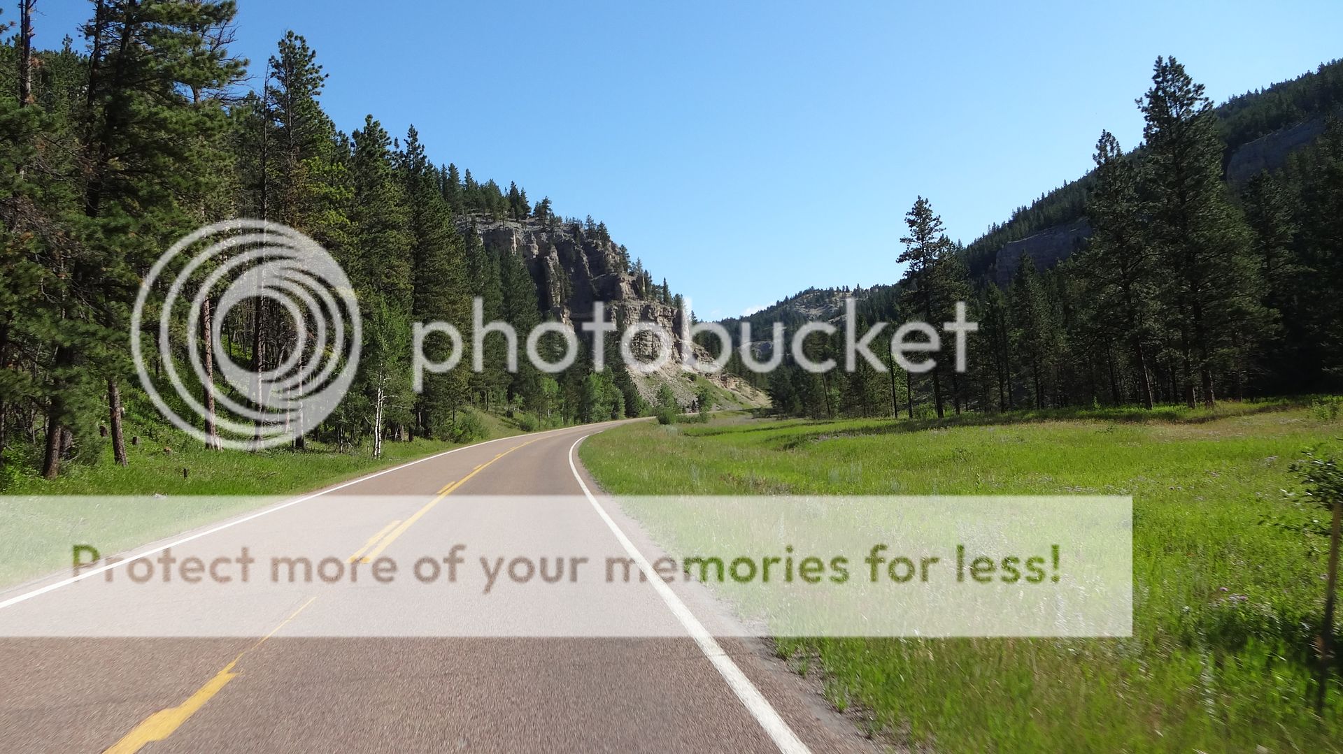
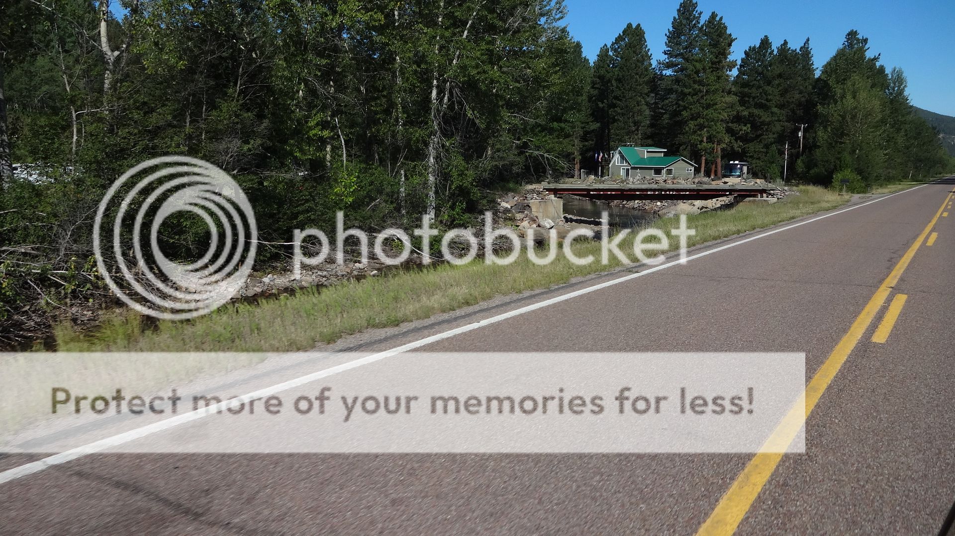
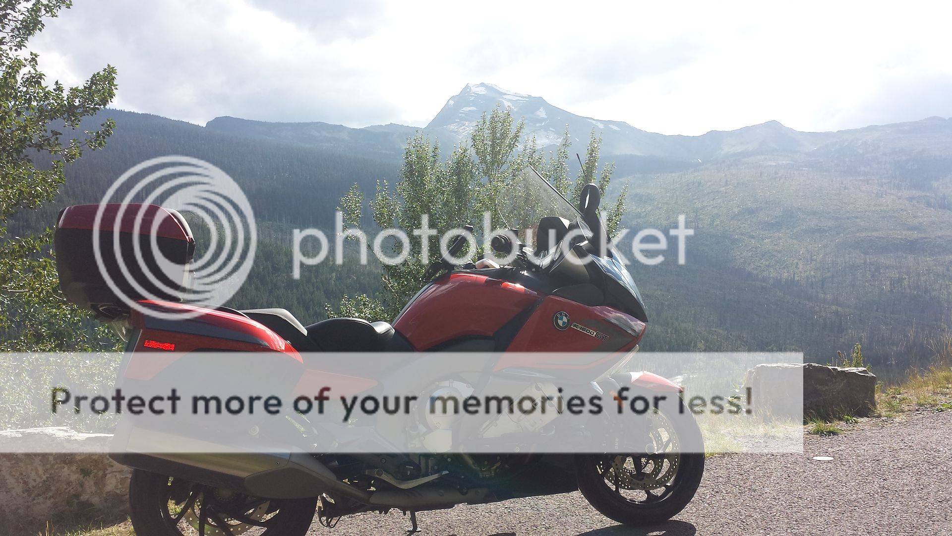
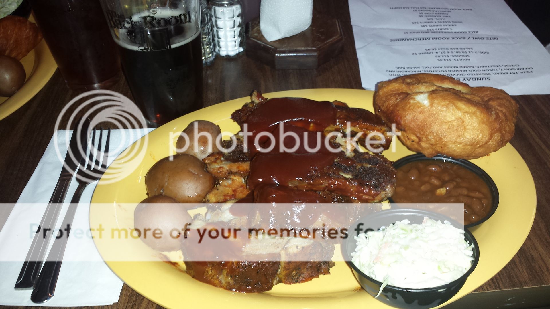
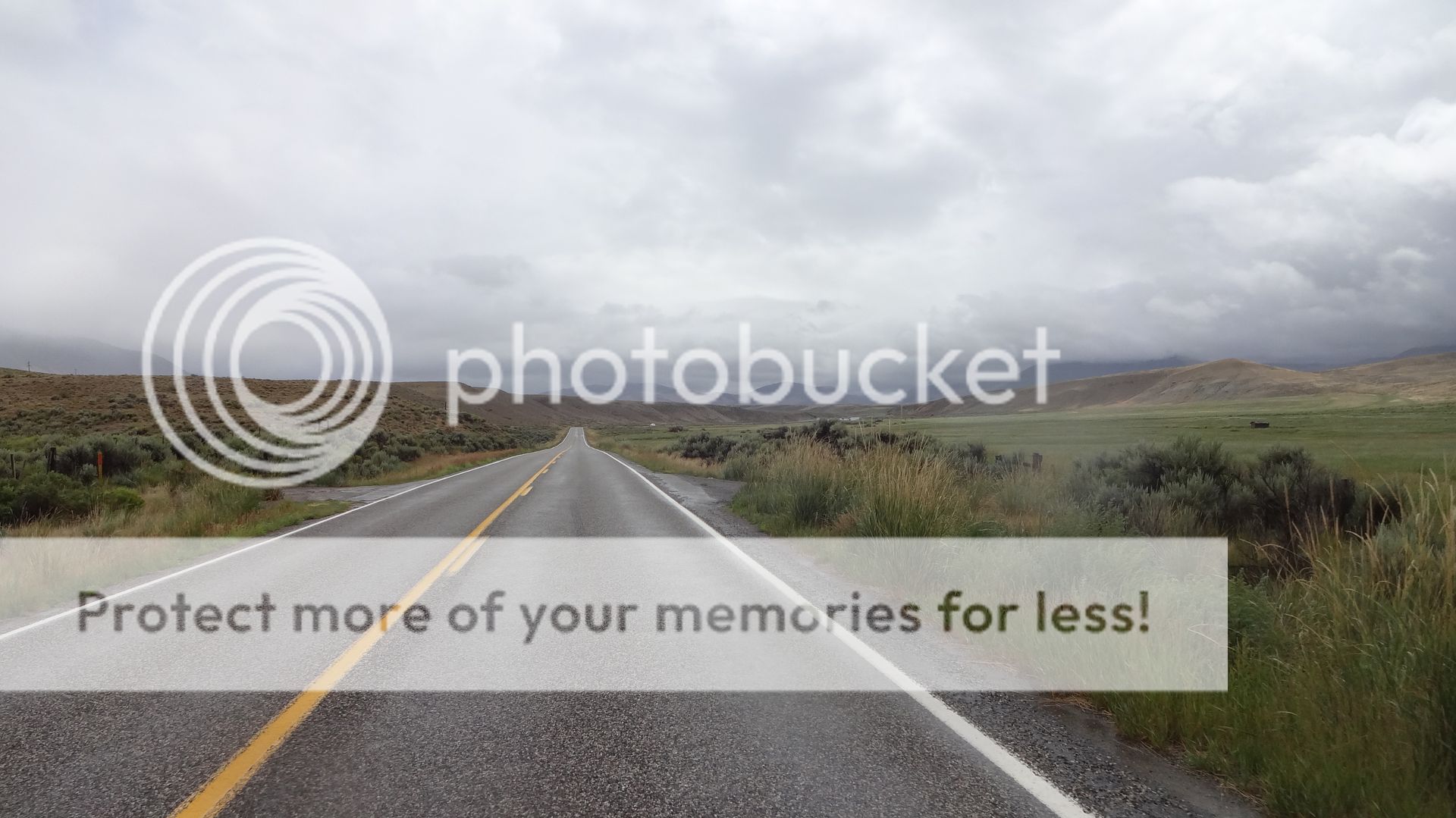
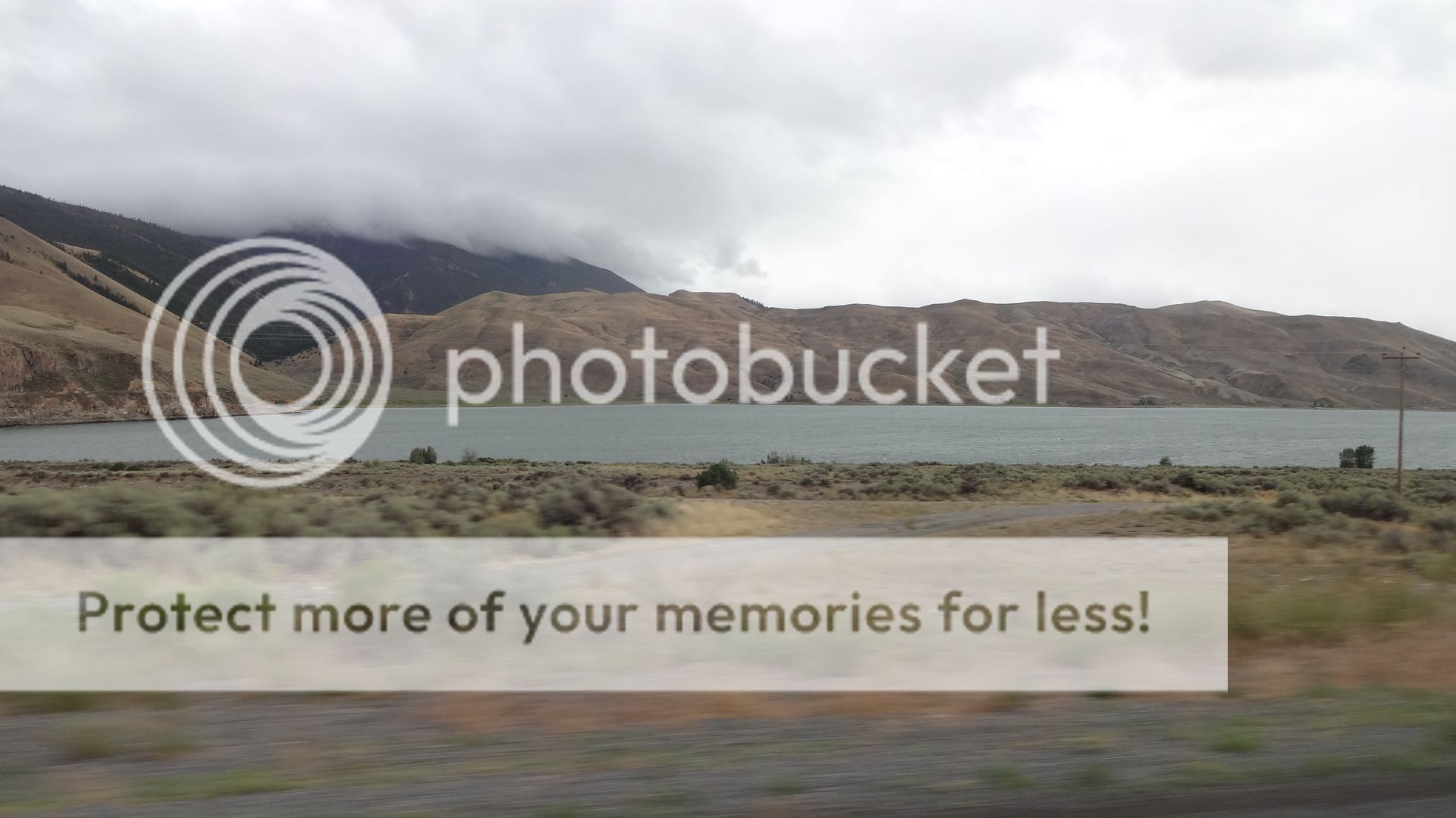
We made it into Wyoming before we shut down that night but did not have to worry about "dry towns". Before we left Hungry Horse Montana Pop insisted on buying two six packs of Moose Drool Brown Ale. He really liked that stuff. Me? Not so much. But I can say I drank one.
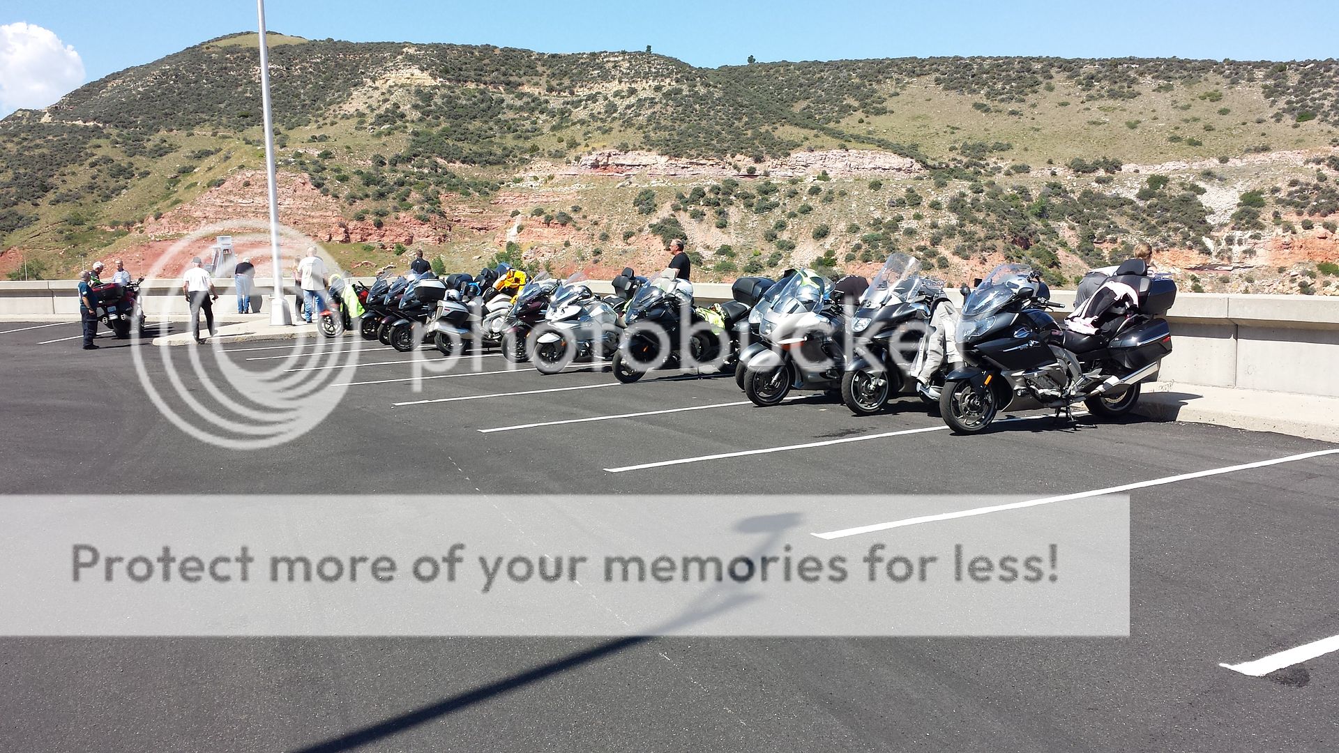
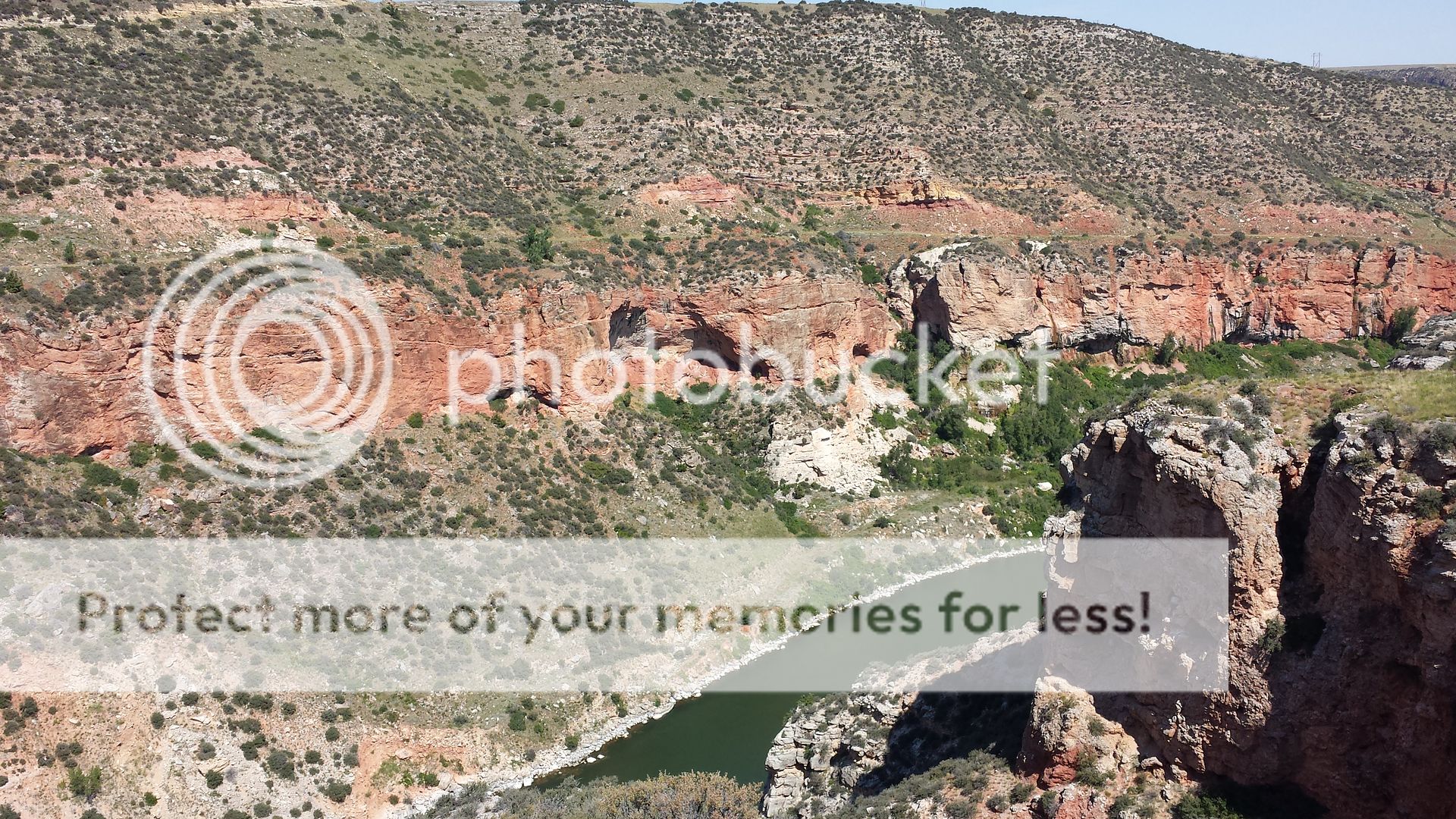
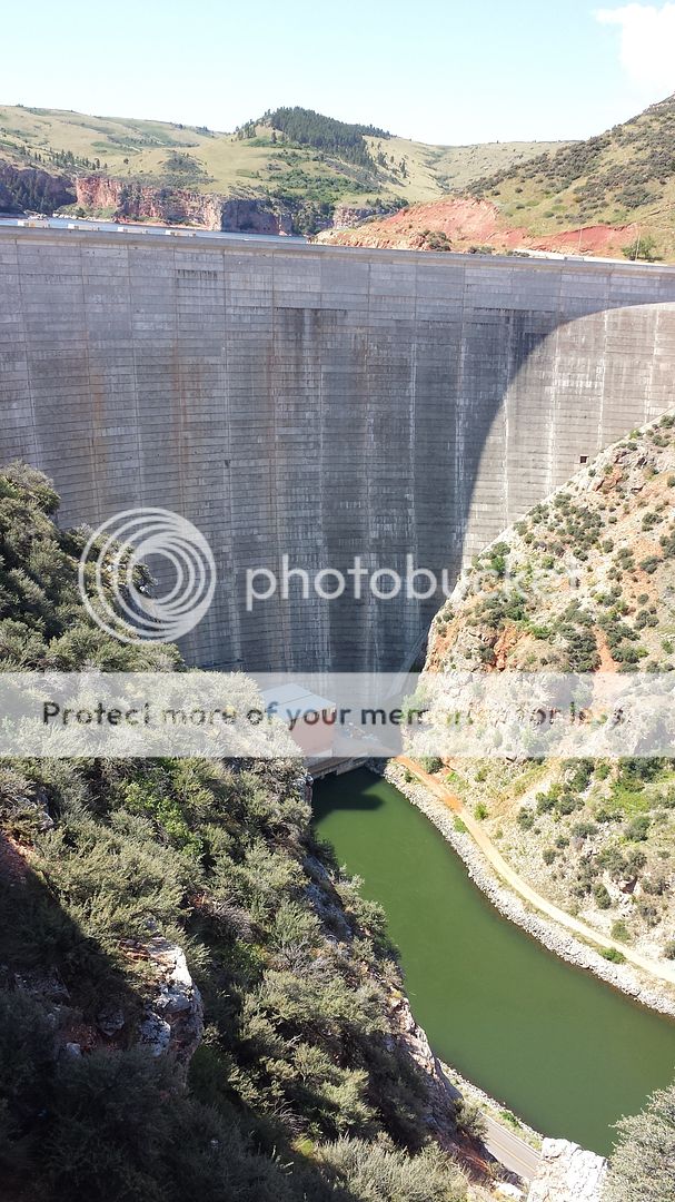
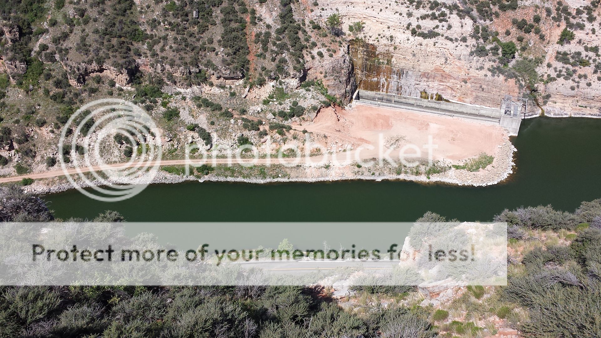
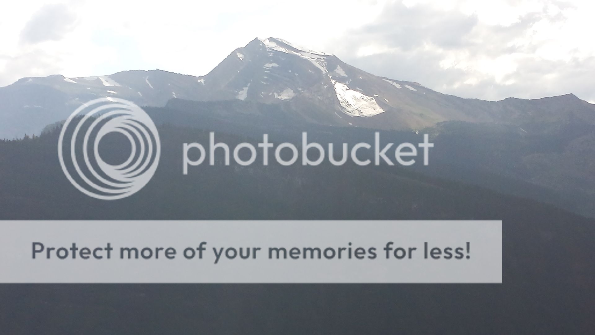
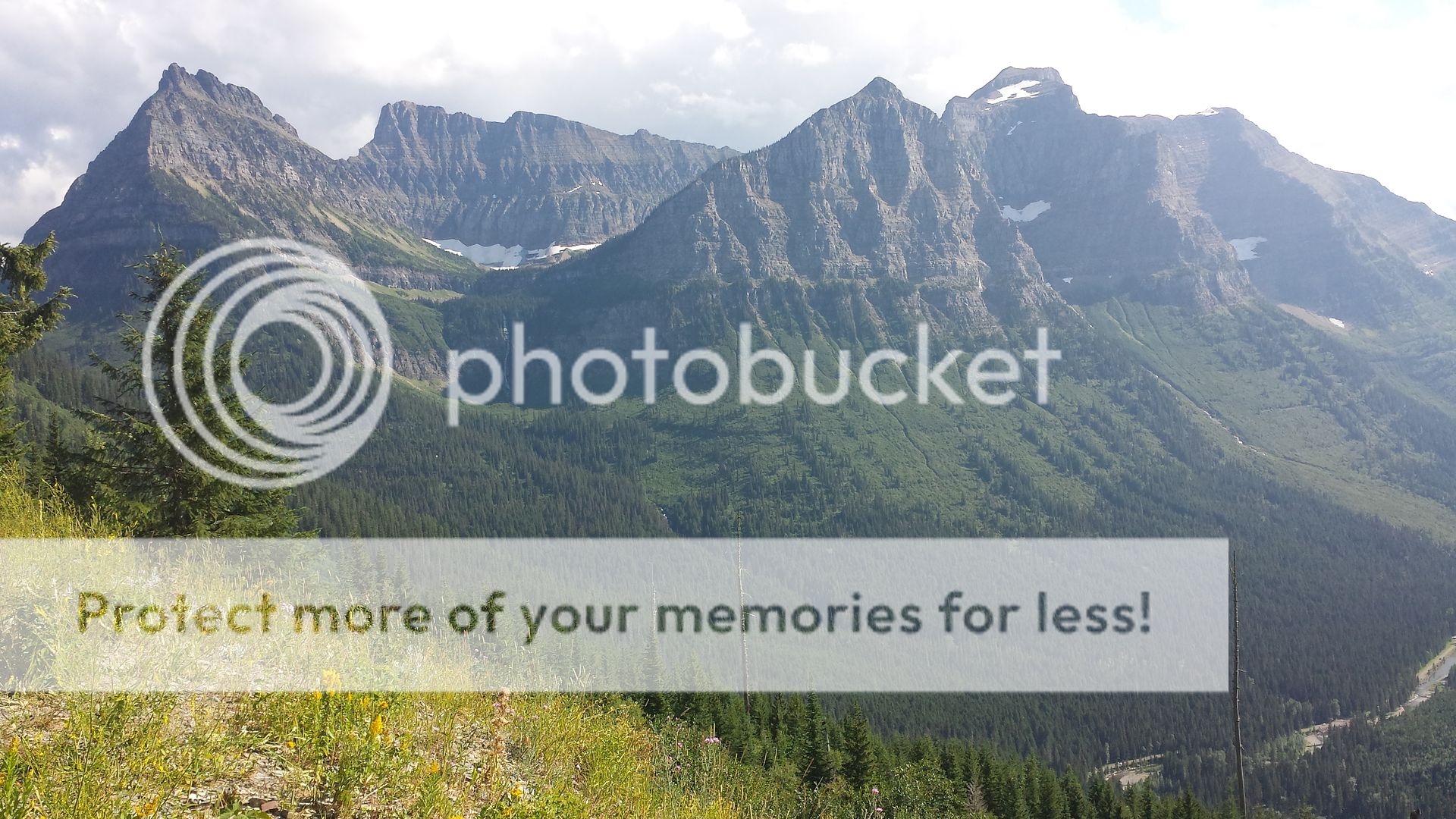
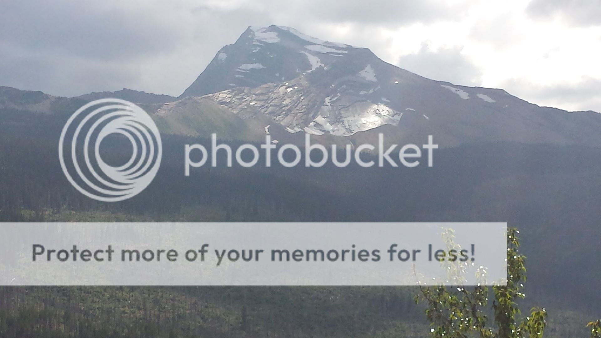
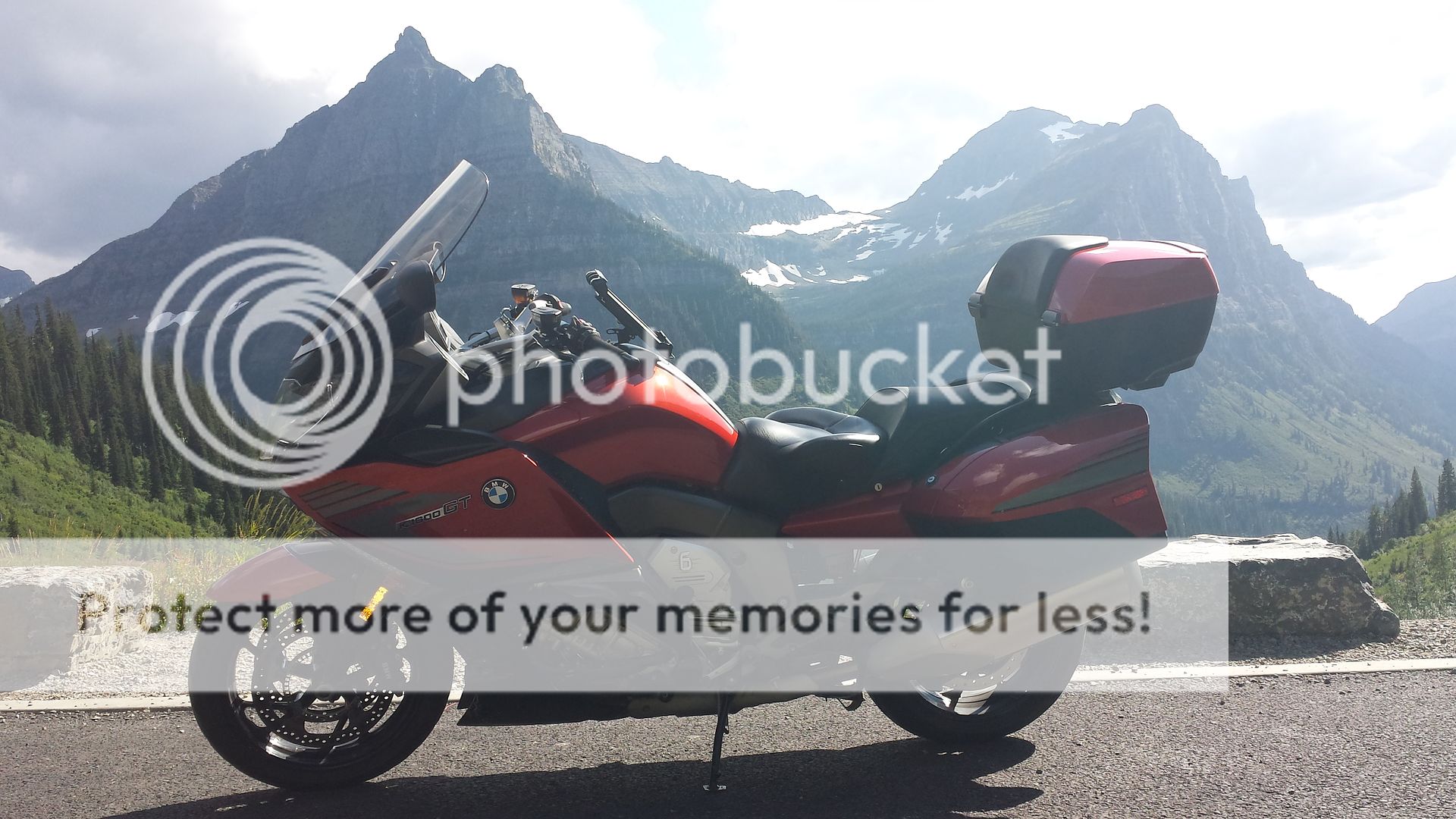
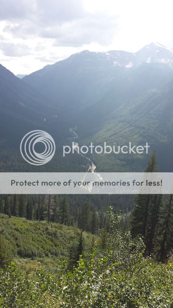
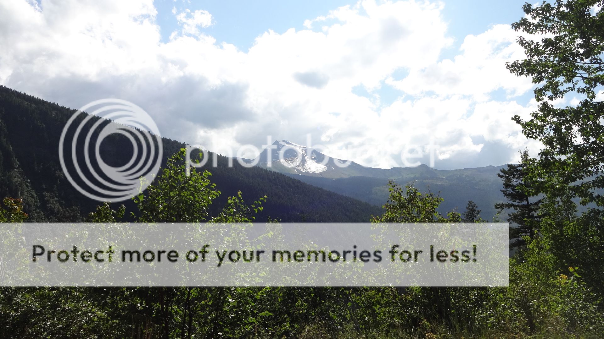
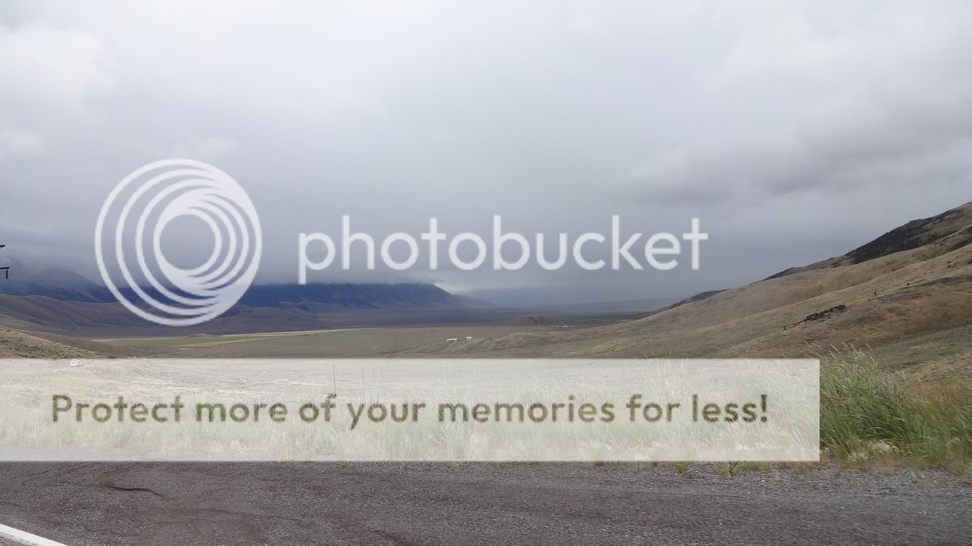
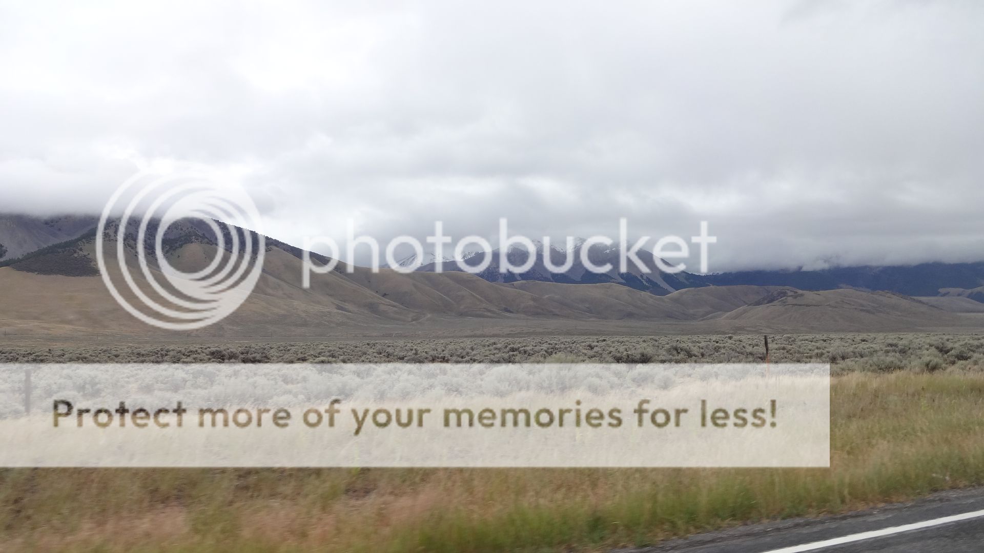
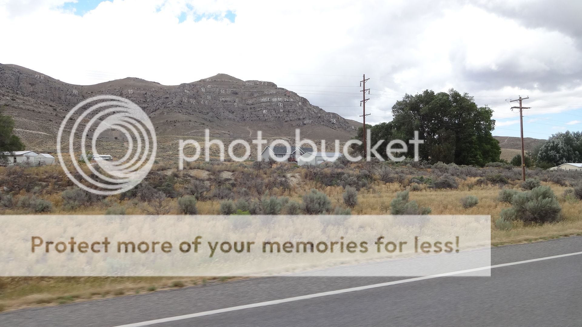
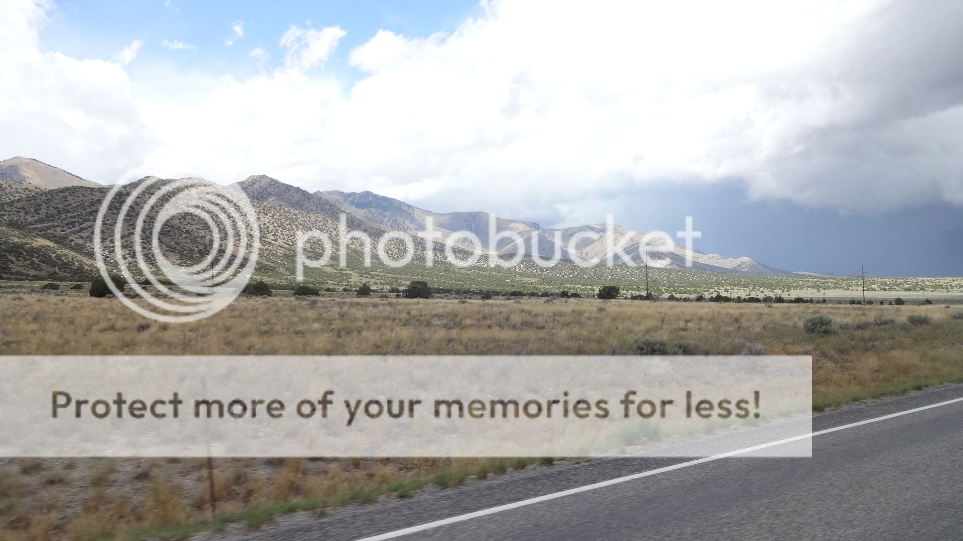
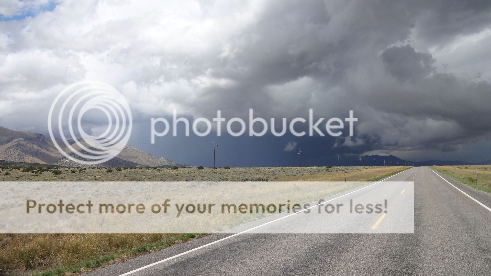
That same storm went NE up into Sturgis. They (also BigJohnSD) put up some pics of the white colored grounds (hail covered) there just before the Rally opened. I actually watched it rise towards that area before retiring for the night. I figured it would of petered out, but nope! Nasty!I remember the day you came through. That was literally a one day storm, in town here was 85 one day and 65 the next, then 85 the following. I heard on the news they were talking about snow in the peaks where you were riding. Bummer that the timing worked out that way but those are the kinds of days you never forget. The storms that form out on the desert around here can be scary as hell to ride through. Glad you didn't get zapped!
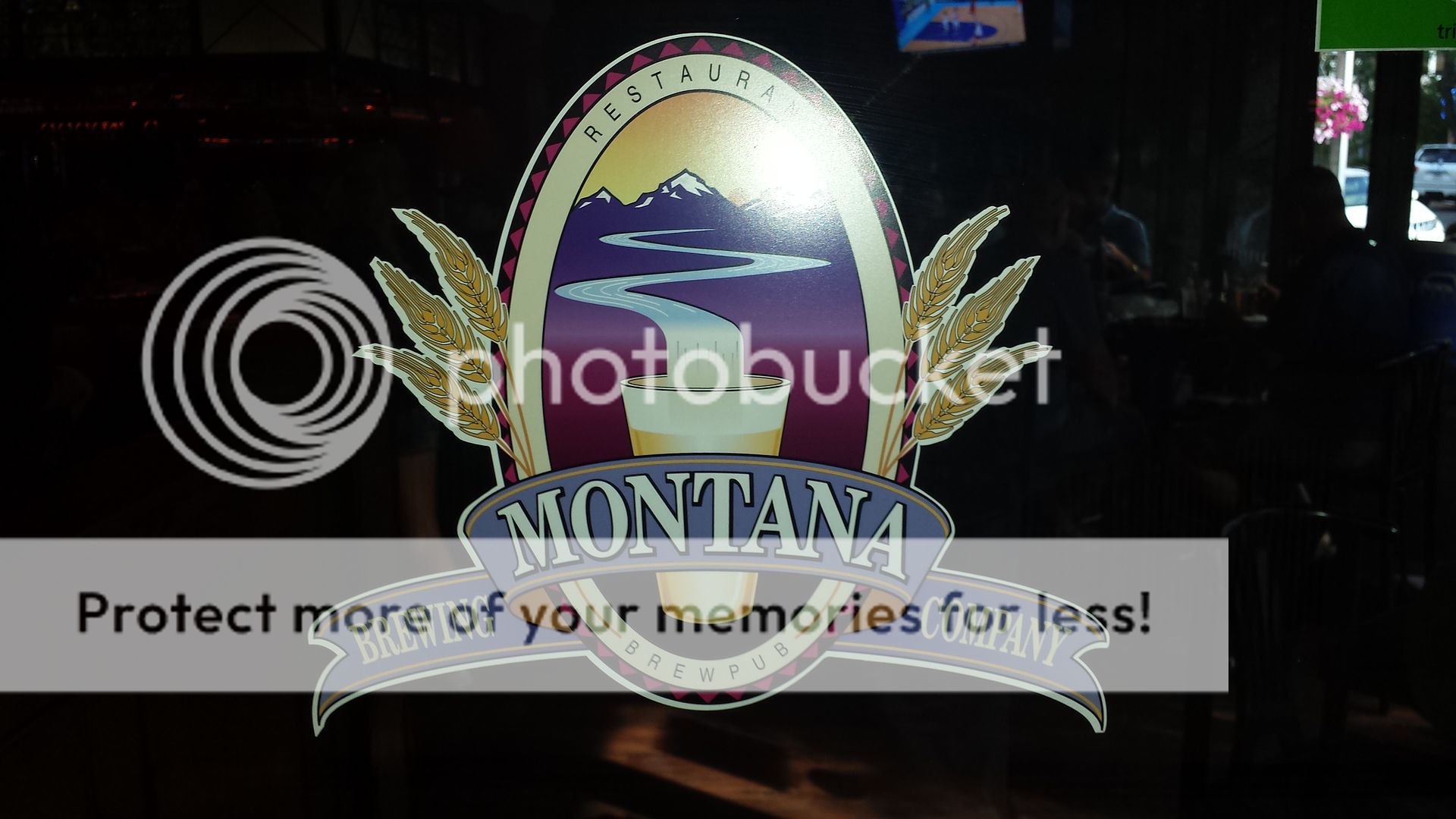
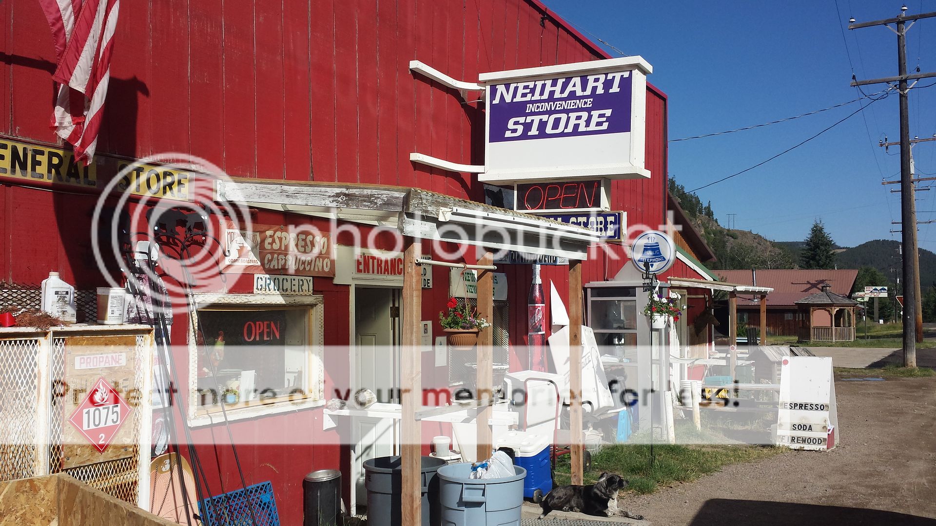
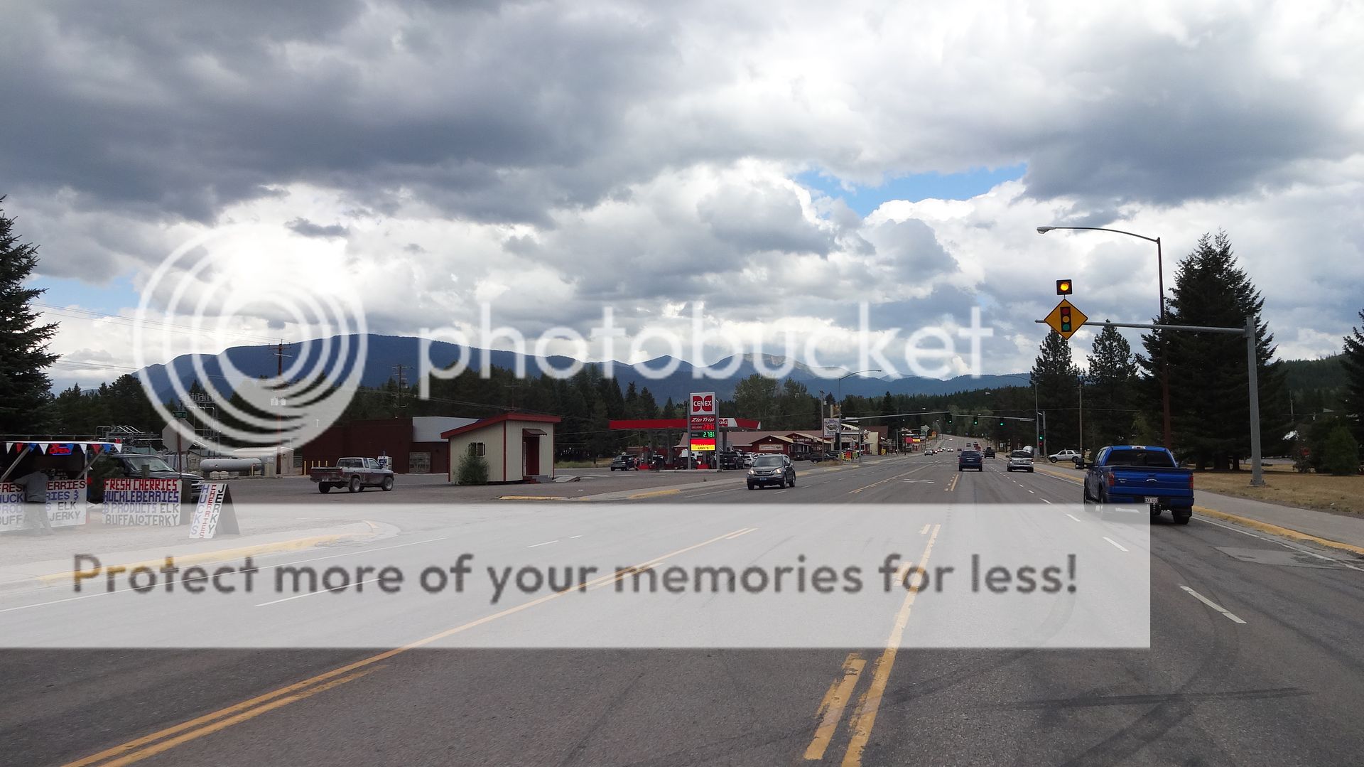
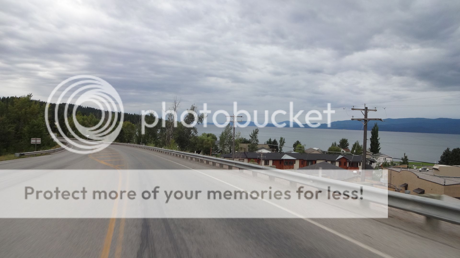
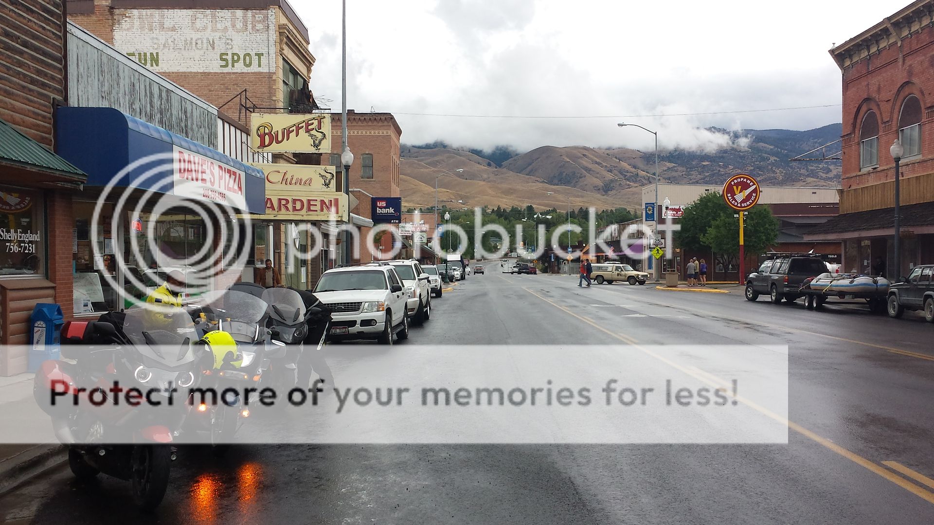
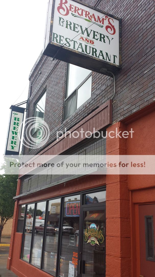
Also, for the record, Rexburg is not a 'dry town.' They used to not allow alcohol sales on Sunday, but passed an ordinance earlier this year to allow it. There's a Applebees right off HWY 20 with beer on tap and the gas station across the street has a liquor store. C-stores and grocery stores all sell beer and wine. That said, places to imbibe are very limited, and if you're looking for a place to take a downtown pub crawl, it ain't no Rock Springs, WY.....
Enter your email address to join: