


hppants
Well-known member
My wife’s been a school teacher for 21 years. As long as I can remember, she’s used Labor Day as a way to get caught up on the beginning of the school year. I tried to convince her to come and play with me, but she was not having any of it. Rather, she wanted the house to herself so she could work and practically begged me to get out. In the interest of “Happy Wife, Happy Life”, I was only too happy to oblige.
Now then, what pray tell shall I do with myself?
I texted a few riding buddies, but predictably I was too late in my planning and they were all committed otherwise. Then I texted my nephew Jacob, who just got started with riding:
(Pants) “Goin ridin tomorow, wanna go?” (I’m text-challenged and I have 4 thumbs)
(Jacob) “Can we b back by 1:30?”
(Pants) “yep”
(Jacob) “Ok – where r we goin?”
(Pants) “It’s a surprise – pack a swimsuit and walking shoes. Pick u up at 6:30 am”
(Jacob) “kewl”
And there you have it – One adventure, cooked well done. Hope you enjoy the pics.
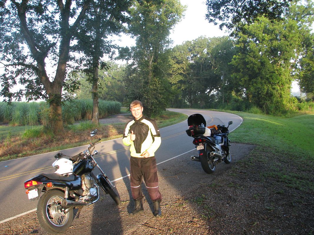
The dog days of summer relent on here on the Gulf Coast. The air is heavy and it weighs on you like a water-logged coat. Frankly, I’m more than ready for some North wind, but it ain’t gonna happen for at least another 3-4 weeks, so I might as well quit crying about it. I soak the T-shirt in the garden hose and at 6:15 am, I fire up the big blue beast and head to Jacob’s. He’s ready right on time. We throw his stuff in my top box and head out.
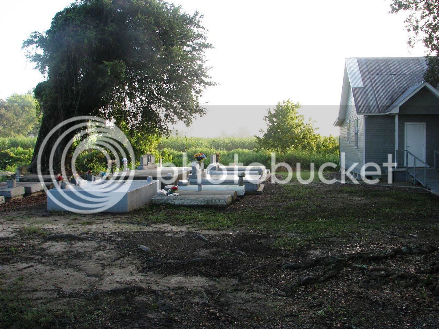
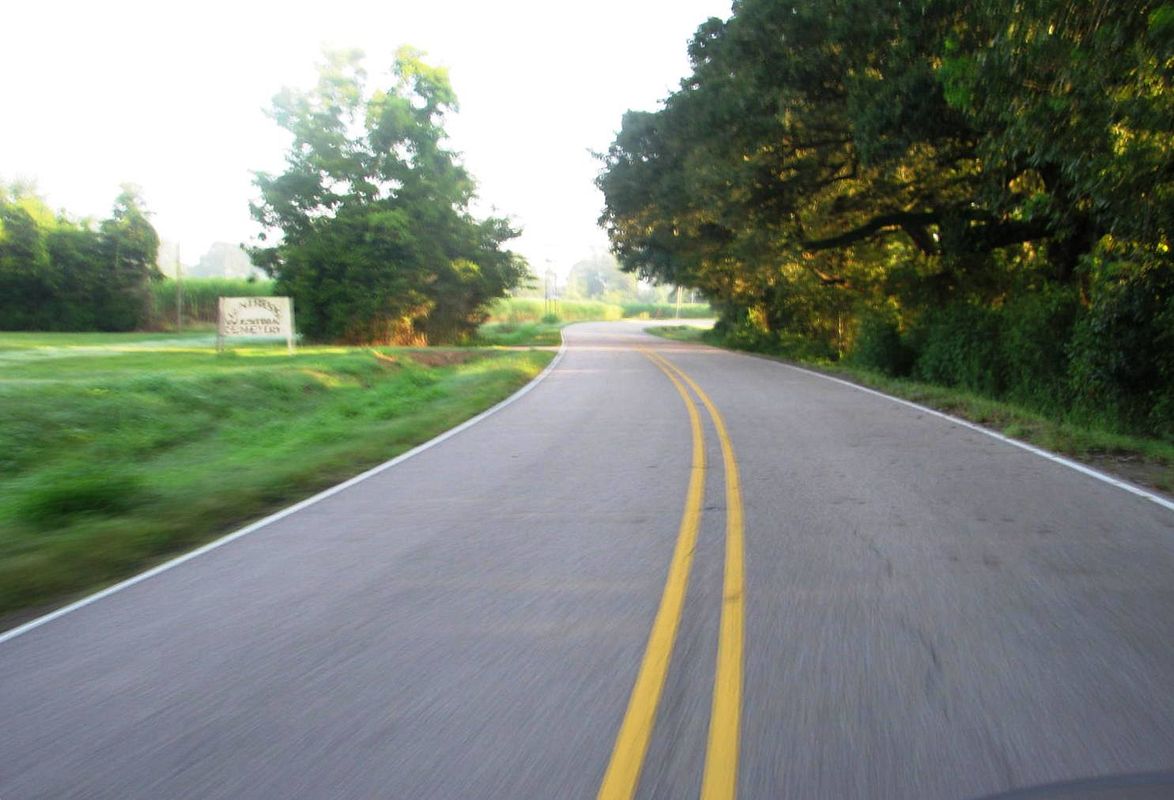
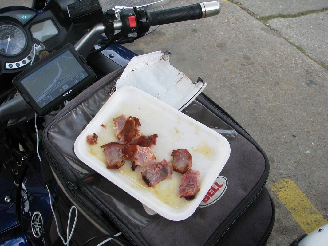
We filled up the fuel tanks and hit the I-10 slab for about 35 miles of “let’s get the heck out of here fast”. Exiting just East of the Atchafayla Basin, we turned North on Hwy 3000, and stopped promptly for a snack at a roadside church with mature like old oak trees abound.
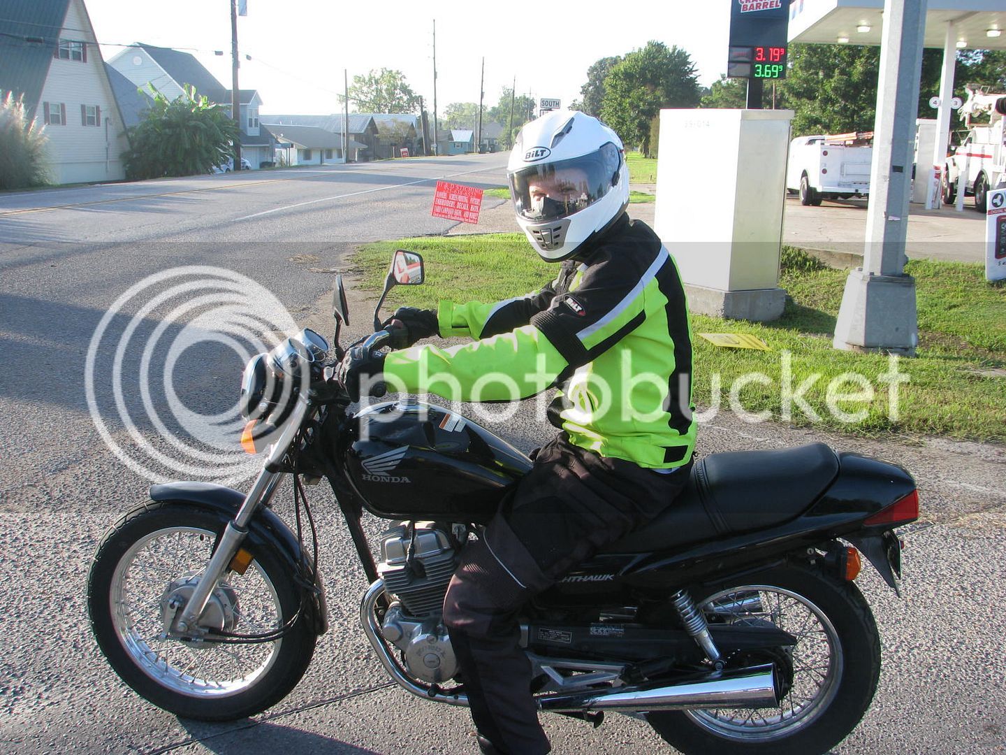
Jacob’s 250 nighthawk is running like a top.
The cemetery next to the church utilizes above ground tombs because the water table here is extremely shallow.
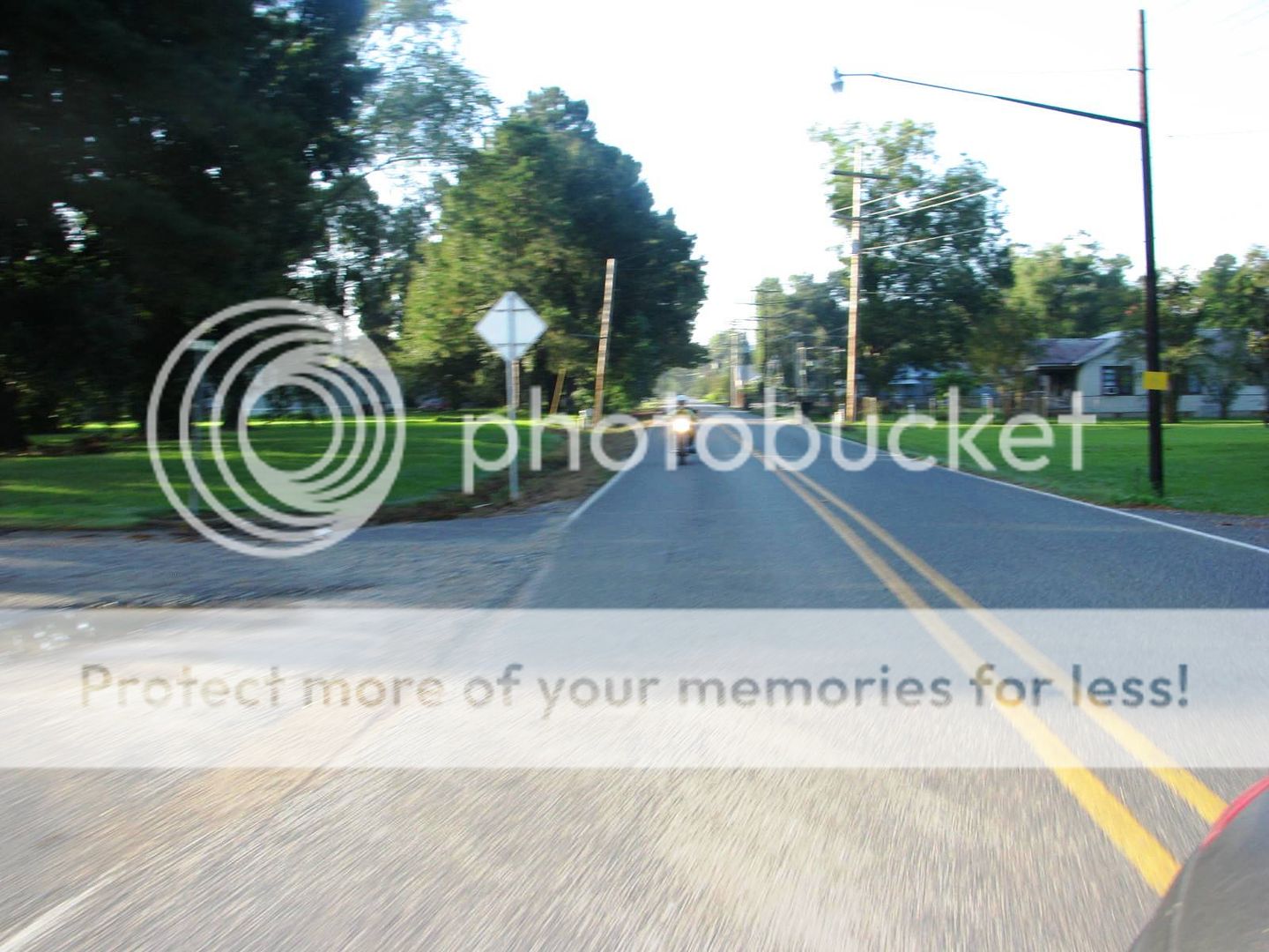
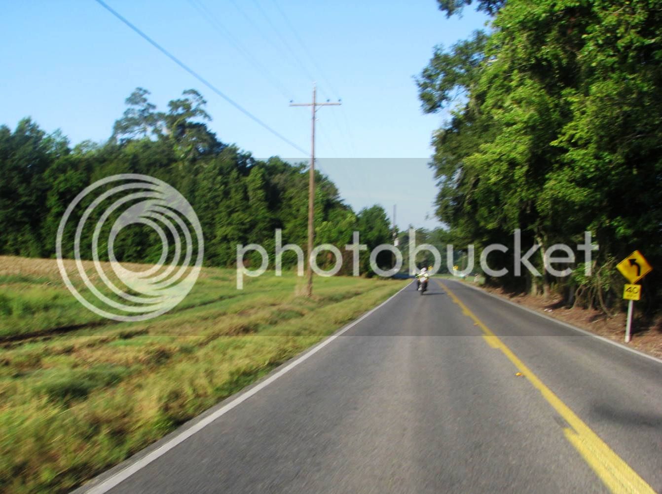
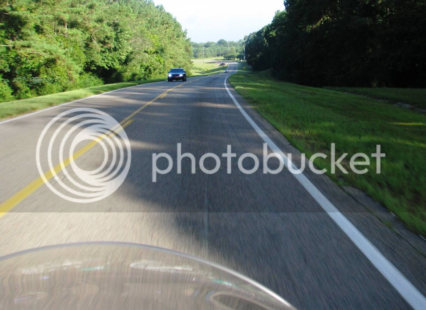
I strap the camera on and shoot some riding shots. I forgot to move the setting from aperture priority to “auto”, so these are not very good.
Jacob’s riding has improved vastly in short order.
Very rural here – we are in the fertile farm land just West of the Mississippi River.
Jacob seems quite content to hang with his old Uncle Pants.
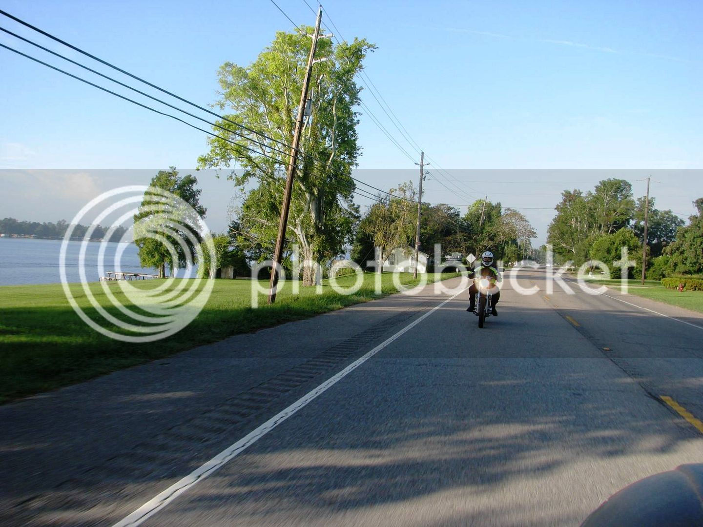
We turn left on Hwy 1, and ride along an oxbow lake called False River. It’s a playground for rich Baton Rouge peeps.
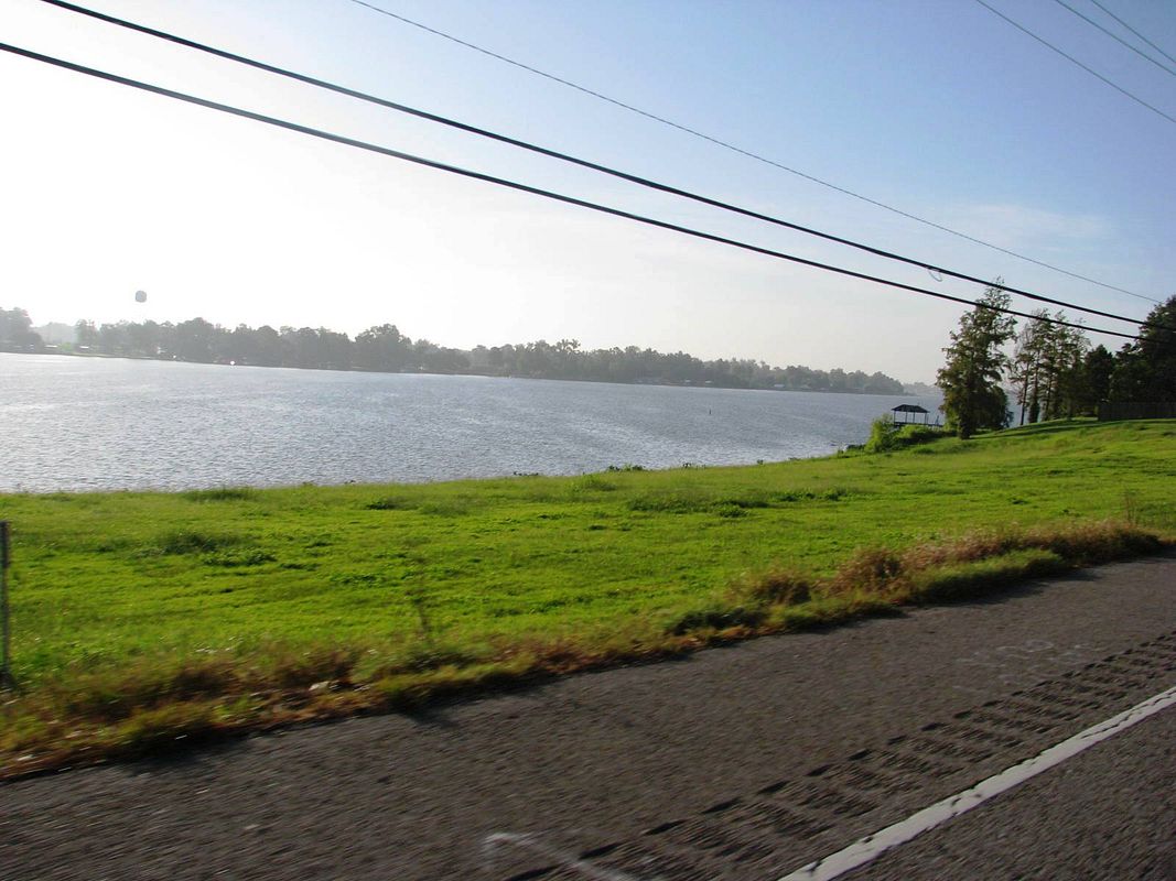
Great views of the lake between the camps and houses.
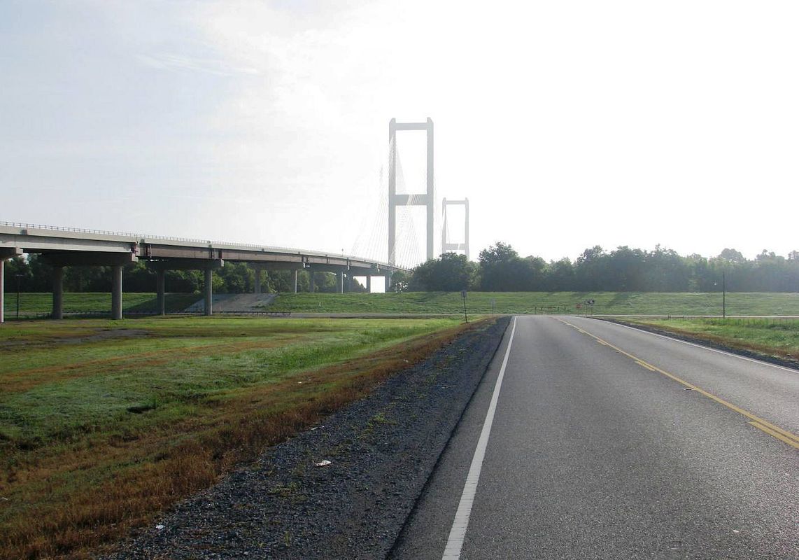
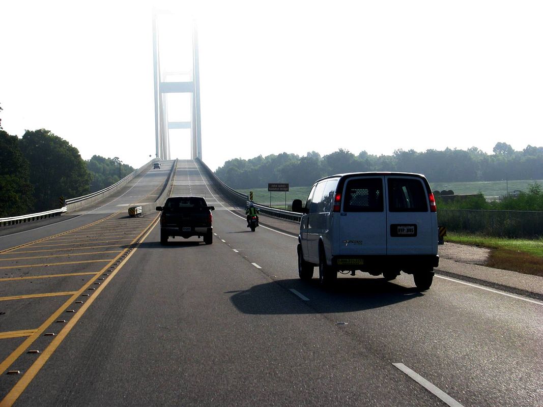
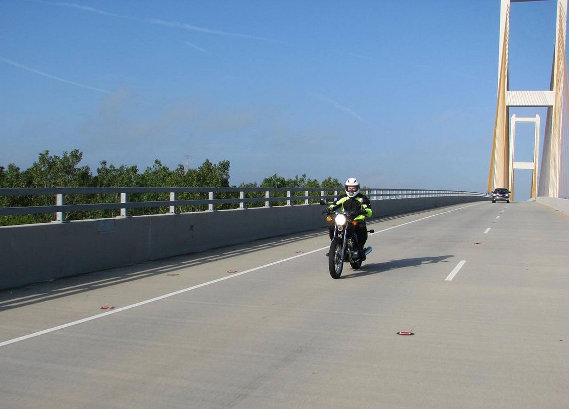
After a short stint on the river road, we crossed Ole Man River on Hwy 10. This is a brand new cable stayed bridge that is gorgeous (I have a thing for bridges).
Jacob’s ready to get right to it.
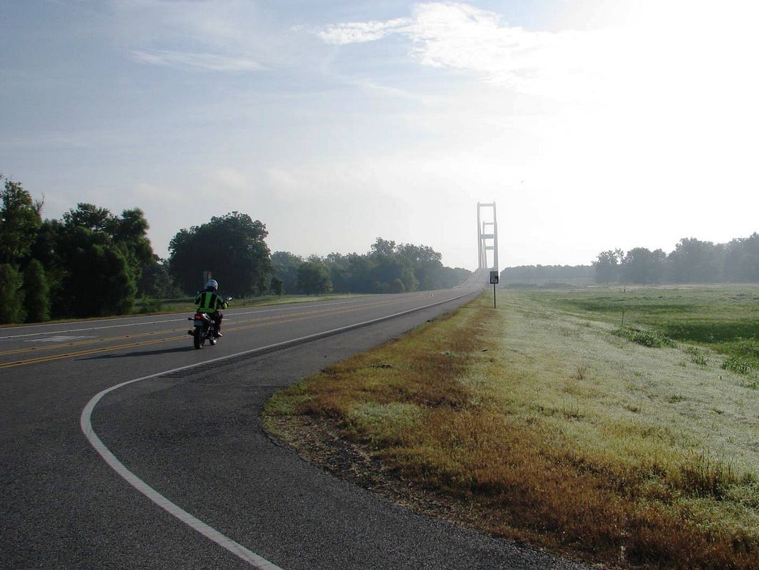
I’m shooting right into the sun and dealing with traffic and it’s not working out too well.
This one’s decent…
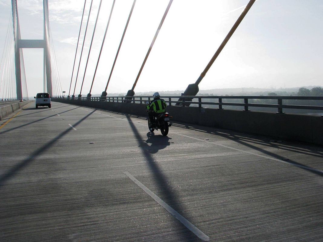
Much better with the sun to my back.
We turn left (north) on Hwy 61, and then left again on the Tunica Trace Scenic Highway. That SUV up ahead is an unmarked Sherriff’s Deputy. Better put the camera down for a minute…
https://heartlandtrails.com/blog/blog/2011/05/13/scenic-drive-tunica-trace-scenic-byway/
I planned our first stop at the Cat Island National Wildlife Refuge.
https://www.fws.gov/refuge/cat_island/
It’s home to the Grand National Champion Bald Cypress tree – this thing is supposed to be massive and I’ve tried to get to this place unsuccessfully twice. Located within the flood plain, the refuge is only open when the Mississippi River level at Baton Rouge is below 18 feet. With today’s level at around 10 feet, I was hopeful.
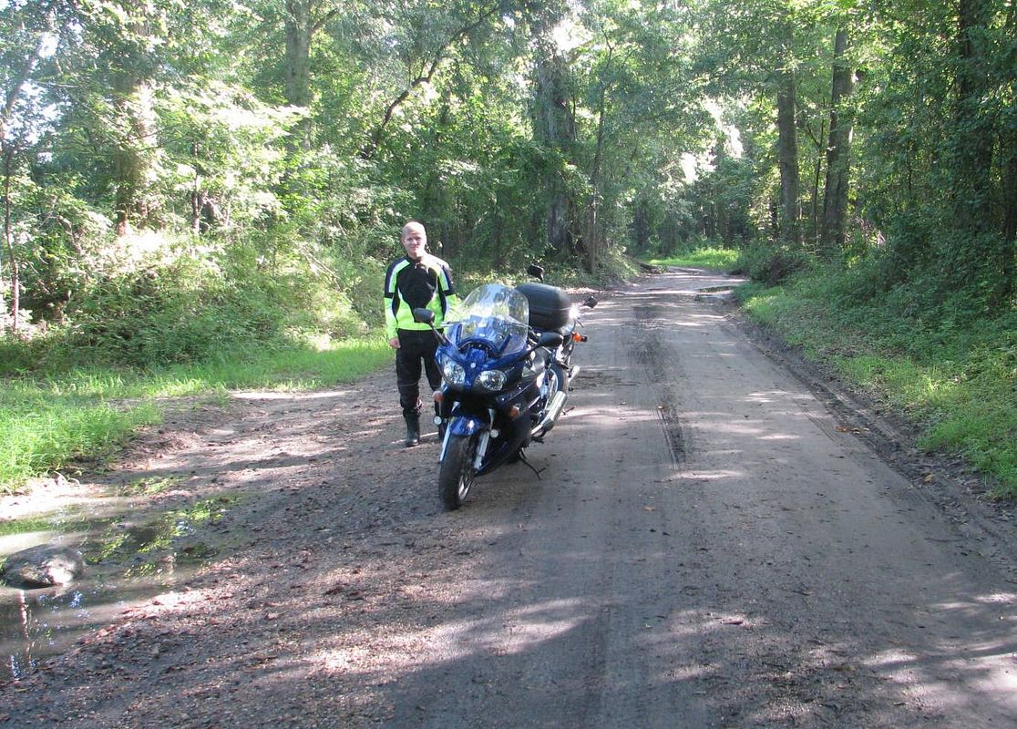
Uh – make that 0 for 3. At the entrance, there was a sign that said “Refuge Temporarily Closed”. We ignored it and tried to press on, but as you can see the road was just a bit too tough for the FJR. When my front end wiggled in a mud rut, I threw the anchor out and declared “done”.
I’m beginning to think I may never see that beautiful tree. Oh well, better luck next time.
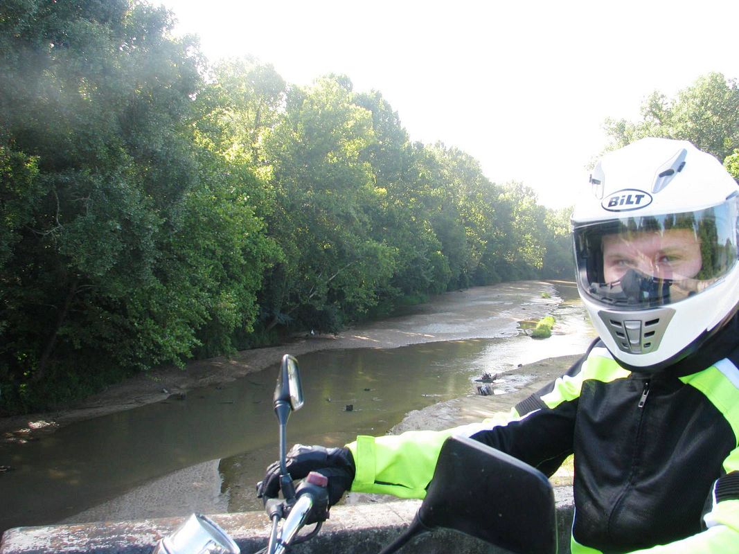
We doubled back to the Scenic Byway and pressed onward north. A nice quiet sandy creek along the highway.
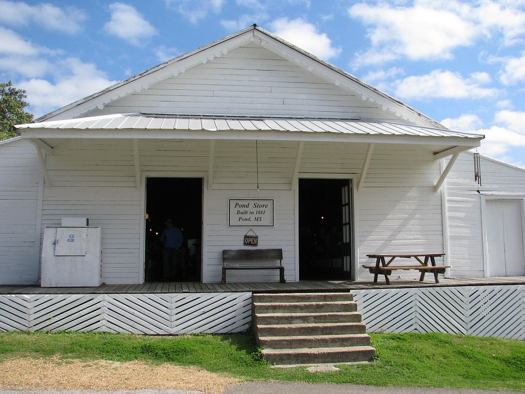
I turned East on the Pickneyville Road (hwy 969) and we wandered to the village of Pond, Mississippi – which is home of the old Pond store.
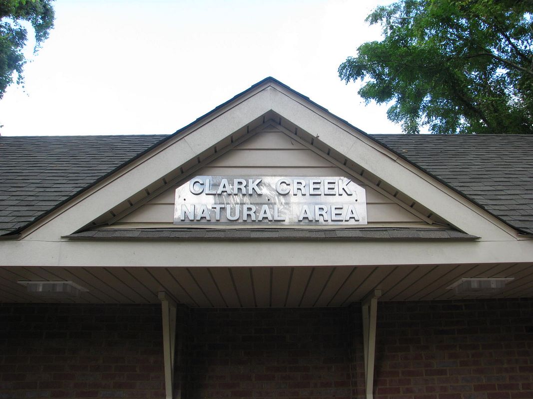
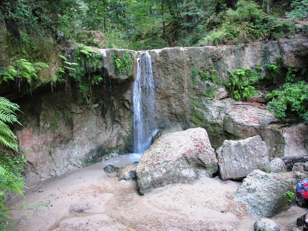
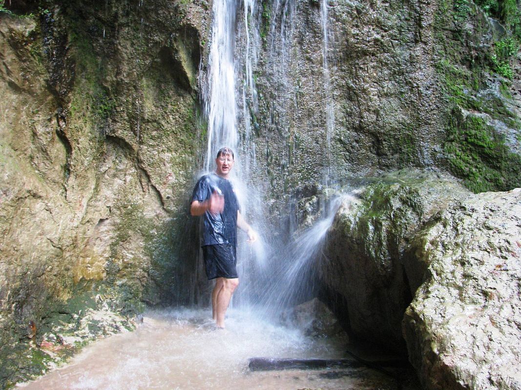
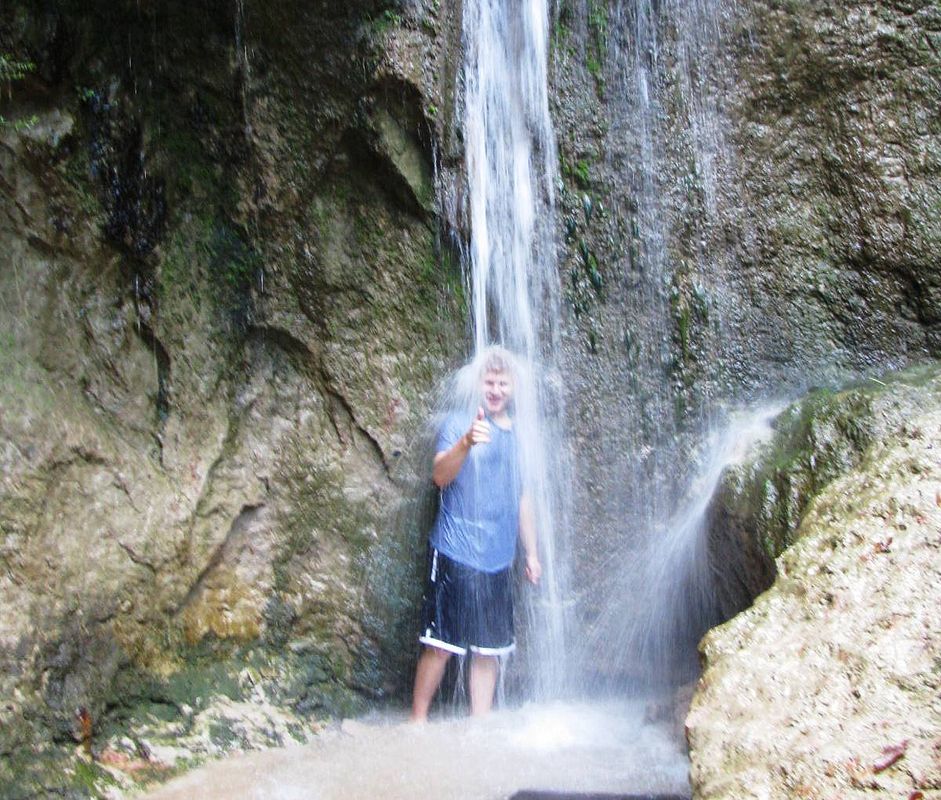
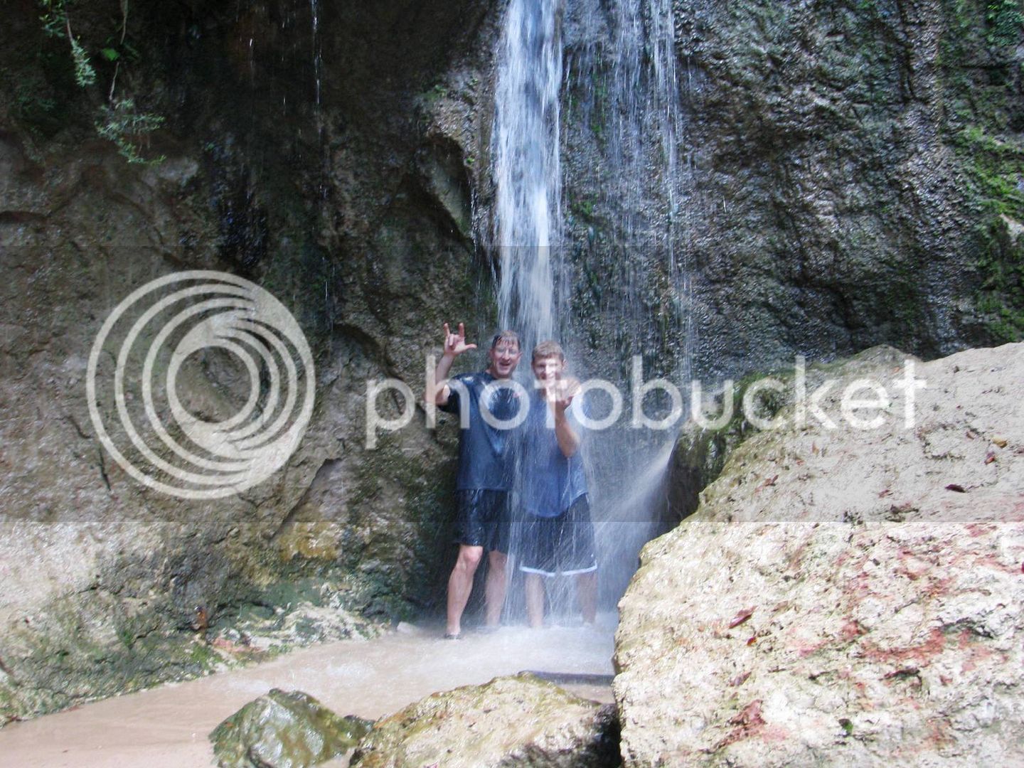
A hundred yards past the store is this place.
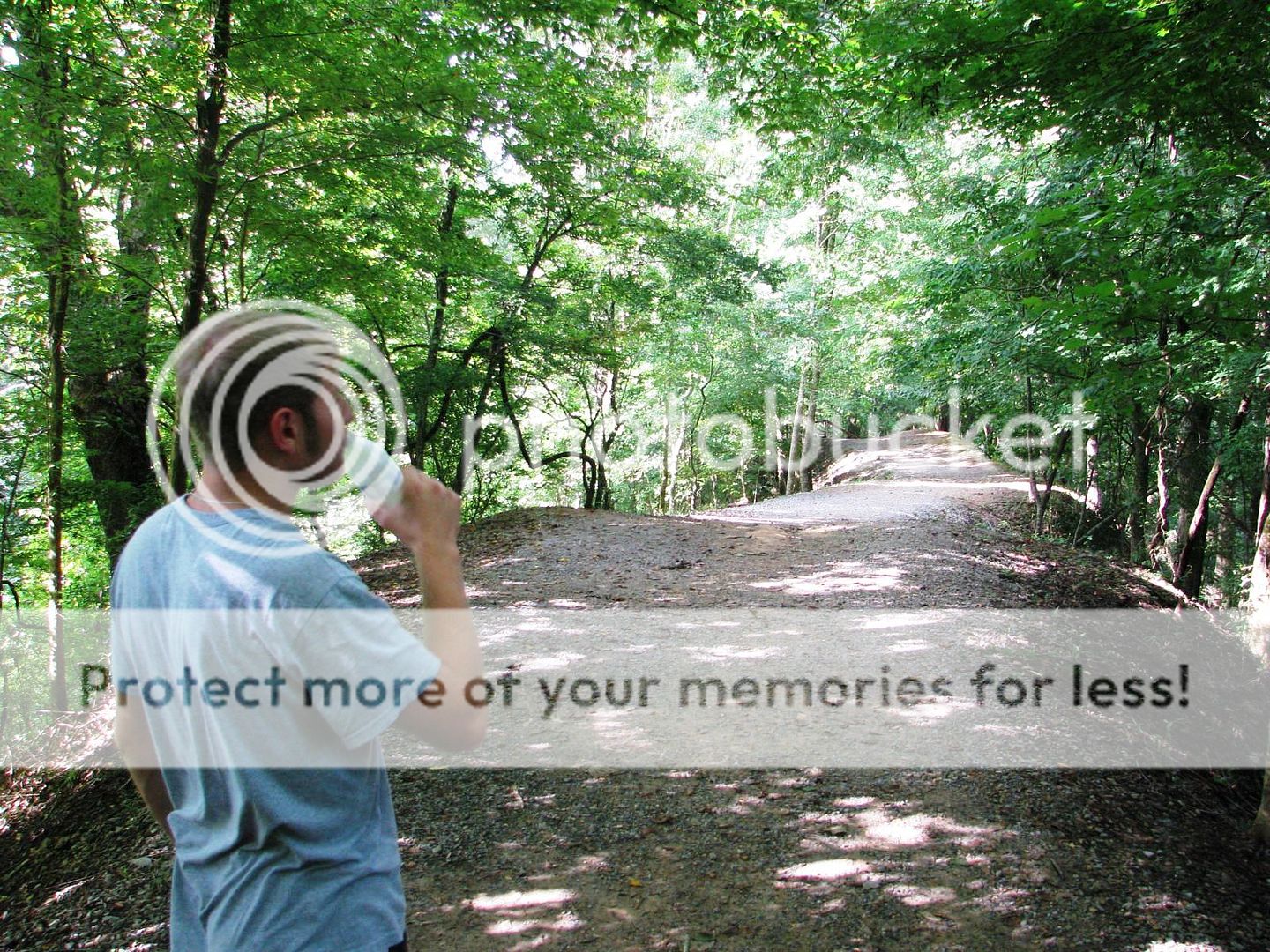
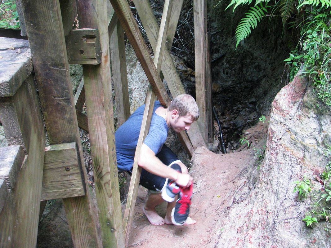
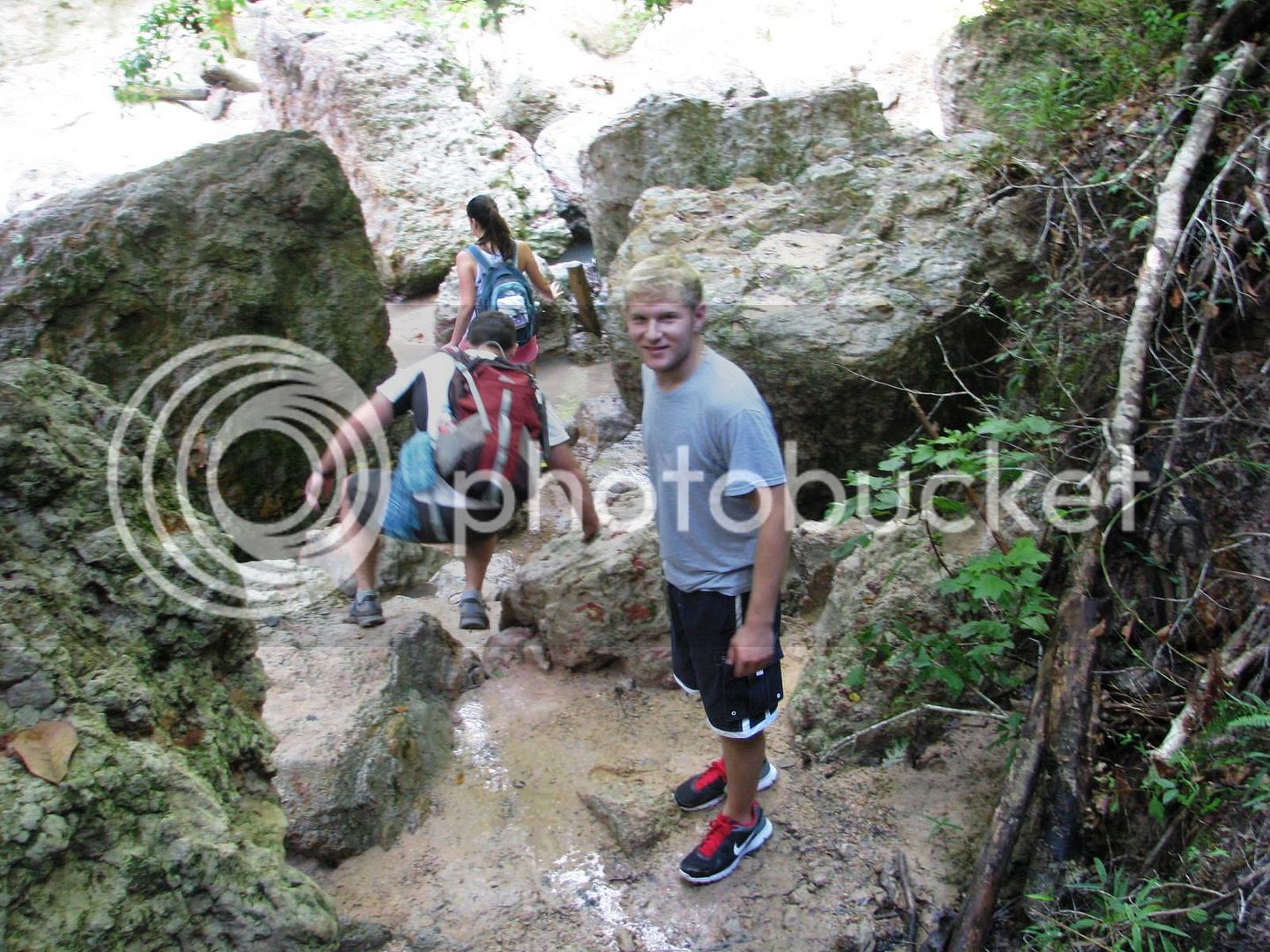
We changed into our swimming trunks and walked down the trail.
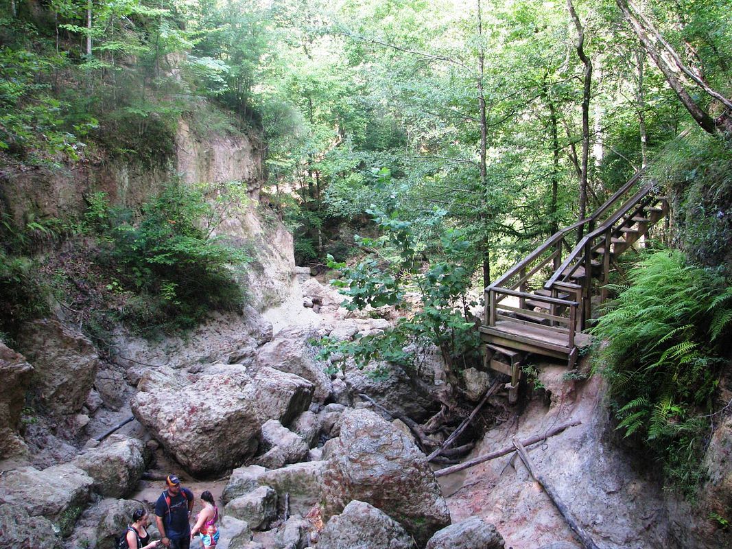
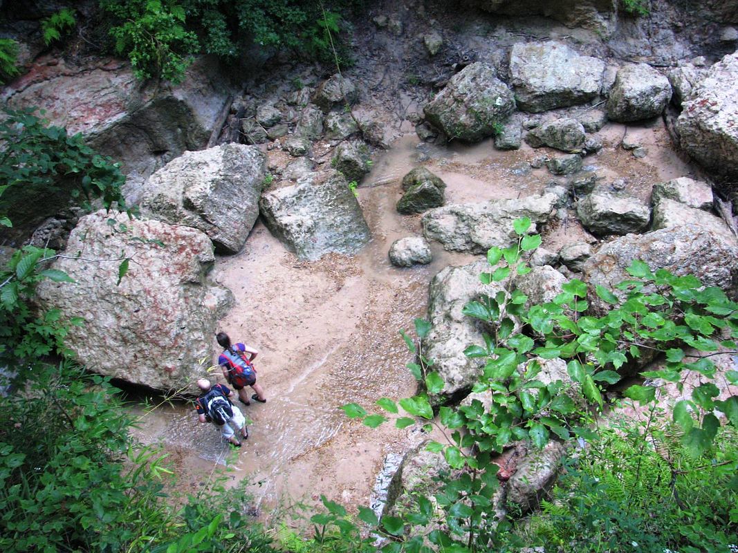
Beautiful area here.
Now then, what pray tell shall I do with myself?
I texted a few riding buddies, but predictably I was too late in my planning and they were all committed otherwise. Then I texted my nephew Jacob, who just got started with riding:
(Pants) “Goin ridin tomorow, wanna go?” (I’m text-challenged and I have 4 thumbs)
(Jacob) “Can we b back by 1:30?”
(Pants) “yep”
(Jacob) “Ok – where r we goin?”
(Pants) “It’s a surprise – pack a swimsuit and walking shoes. Pick u up at 6:30 am”
(Jacob) “kewl”
And there you have it – One adventure, cooked well done. Hope you enjoy the pics.
The dog days of summer relent on here on the Gulf Coast. The air is heavy and it weighs on you like a water-logged coat. Frankly, I’m more than ready for some North wind, but it ain’t gonna happen for at least another 3-4 weeks, so I might as well quit crying about it. I soak the T-shirt in the garden hose and at 6:15 am, I fire up the big blue beast and head to Jacob’s. He’s ready right on time. We throw his stuff in my top box and head out.
We filled up the fuel tanks and hit the I-10 slab for about 35 miles of “let’s get the heck out of here fast”. Exiting just East of the Atchafayla Basin, we turned North on Hwy 3000, and stopped promptly for a snack at a roadside church with mature like old oak trees abound.
Jacob’s 250 nighthawk is running like a top.
The cemetery next to the church utilizes above ground tombs because the water table here is extremely shallow.
I strap the camera on and shoot some riding shots. I forgot to move the setting from aperture priority to “auto”, so these are not very good.
Jacob’s riding has improved vastly in short order.
Very rural here – we are in the fertile farm land just West of the Mississippi River.
Jacob seems quite content to hang with his old Uncle Pants.
We turn left on Hwy 1, and ride along an oxbow lake called False River. It’s a playground for rich Baton Rouge peeps.
Great views of the lake between the camps and houses.
After a short stint on the river road, we crossed Ole Man River on Hwy 10. This is a brand new cable stayed bridge that is gorgeous (I have a thing for bridges).
Jacob’s ready to get right to it.
I’m shooting right into the sun and dealing with traffic and it’s not working out too well.
This one’s decent…
Much better with the sun to my back.
We turn left (north) on Hwy 61, and then left again on the Tunica Trace Scenic Highway. That SUV up ahead is an unmarked Sherriff’s Deputy. Better put the camera down for a minute…
https://heartlandtrails.com/blog/blog/2011/05/13/scenic-drive-tunica-trace-scenic-byway/
I planned our first stop at the Cat Island National Wildlife Refuge.
https://www.fws.gov/refuge/cat_island/
It’s home to the Grand National Champion Bald Cypress tree – this thing is supposed to be massive and I’ve tried to get to this place unsuccessfully twice. Located within the flood plain, the refuge is only open when the Mississippi River level at Baton Rouge is below 18 feet. With today’s level at around 10 feet, I was hopeful.
Uh – make that 0 for 3. At the entrance, there was a sign that said “Refuge Temporarily Closed”. We ignored it and tried to press on, but as you can see the road was just a bit too tough for the FJR. When my front end wiggled in a mud rut, I threw the anchor out and declared “done”.
I’m beginning to think I may never see that beautiful tree. Oh well, better luck next time.
We doubled back to the Scenic Byway and pressed onward north. A nice quiet sandy creek along the highway.
I turned East on the Pickneyville Road (hwy 969) and we wandered to the village of Pond, Mississippi – which is home of the old Pond store.
A hundred yards past the store is this place.
We changed into our swimming trunks and walked down the trail.
Beautiful area here.


")