New GPS or still the same ol stuff ?

Yamaha FJR Motorcycle Forum

Help Support Yamaha FJR Motorcycle Forum:

This site may earn a commission from merchant affiliate links, including eBay, Amazon, and others.
RossKean posted: ... I am surprised that Google hasn't gotten into the market. I think they could blow Garmin out of the water.
However, using a phone will always leave you "driving while blind" when there's no cell service. Google will have to develop a satellite transceiver, or buy one, in order to truly provide GPS navigation.
That's the beauty of a device that you could put together around a waterproof "hardened" tablet (7" would be an ideal size, I think). Tons of storage space for all the detailed maps and apps you want, very decent processors and the possibility of Internet connectivity. (You don't need the Internet all the time if you have a version of the maps local but any time you are in range, you could get live updates on traffic, weather and conditions. Not to mention, you could set it to download map updates any time you are in a Wi-Fi area.) If appropriately designed and supported, I don't see any reason why a device built with the best of today's technology wouldn't still be useful ten years from now. Current devices have far more than sufficient capability and capacity for the "mission" into the foreseeable future.

All sorts of possible features you could build in. Weather (of course) but also an intelligent route planner that could integrate with real-time forecast.

Google maps routing !!!

Google "street view" in cell or Wi-Fi range.

MP3 player, of course.

Accept input from a radar detector module that could be mounted somewhere less obvious. TPMS modules too.

Seamless integrated communication (BT)

How about a "dead-reckoning" application where you could see a "pointer" to your ultimate destination (or perhaps just 20 miles down the road). Would be extremely useful to see if you need to re-route around that big black cloud that is apparently in your path (or dig out the rain gear). Or are you currently headed for that pall of smoke on the horizon? This could also be VERY useful for off-road stuff where maps may not exist.

A real-time app that measures your current speed and looks ahead at the radius-of-curvature of upcoming twisty bits and could briefly flash a warning if you are too fast for the upcoming turn (criteria settable with whatever you are comfortable with)

Dash cam? Easy-peasey these days. Perhaps even a remote cam that can be mounted anywhere and streams to the GPS for control and storage. (two cams?)

Of course, you could have a whiz-bang app that does all of this stuff in your phone with decent local storage on the tablet and a fast BT connection to the phone... Still needs a dedicated "display" device.

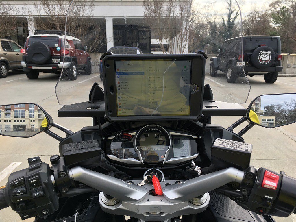
I came to the conclusion that it would be better to have a purpose-built device to mount on the bike rather than just using the phone. Better display possible, GPS-specific features, larger size, built to be robust, camera integration etc. The "smarts" could be on the phone but you still need another device.

While I am dreaming in Technicolor, maybe we need Yamaha to build a MOS (Motorcycle Operating System) to integrate with system for all sorts of diagnostics and controls... Perhaps Google could even make a common interface that could be sold to manufacturers to allow ultimate compatibility???

 
Tried the tablet thing for a couple of weeks. Abandoned the project for two reasons: (1) Couldn't get a bracket to securely stabilize the tablet -- a problem that could be easily solved, but (2) the tablet didn't have a built-in cellular transceiver, and bluetooth connections between the tablet and the phone weren't quick enough for driving around Atlanta. I was making U-turns all the time, and U-turns aren't the safest maneuvers when on crowded city streets.

Not enough advantages over the existing iPhone solution to justify shelling out a couple hundred bucks for a new iPad and Ram ball mount.

35882610885_8943653df2_b.jpg


Could be much easier to make that all happen if one just had a dedicated 4G chip in the tablet and paid the bill for it.... Or heck you could even swap your phone chip to the tablet at onset of the journey....

Dedicated onboard GPS apps - or google maps via LTE network - seems like the options are avail...

I had dreamed about all this for quite some time with most of the things you listed, I seem to always been ahead of the game with wants and needs of devices. Last time I searched for rugged tablets - there wasn't much around.... they are certainly getting more plentiful, not necessarily in the US, but they are out there....

Capture_zpsktlqsapw.png

Albeit -- Chinese
4G 8-Core 2.0GHz Android 7.0 Rugged Smartphone with 4+64G with NFC, PTT, SOS waterproof mobile phone

 
Last edited by a moderator:
Tried the tablet thing for a couple of weeks. Abandoned the project for two reasons: (1) Couldn't get a bracket to securely stabilize the tablet -- a problem that could be easily solved, but (2) the tablet didn't have a built-in cellular transceiver, and bluetooth connections between the tablet and the phone weren't quick enough for driving around Atlanta. I was making U-turns all the time, and U-turns aren't the safest maneuvers when on crowded city streets.
Not enough advantages over the existing iPhone solution to justify shelling out a couple hundred bucks for a new iPad and Ram ball mount.

35882610885_8943653df2_b.jpg

Jeebus Clist Uncle Hud...... LMAO - could you even see the road with that out door projector in your face hahahahahah

As I linked above - the 4G units with onboard GPS units are out there.... and tons of GPS apps for android out there avail now...

I might swing at the pitch for this one - see what happens - I def don't want a huge tablet - a 7" should be likely bigger then I need..

 
Yes, road view was unobstructed. The photo was taken at a low angle to reduce reflection in the screen -- which didn't work because the Big Banana is clearly reflected therein.

Unfortunately, iPads can't have cellular or additional memory installed after you take it home. (At least, that's what I was told by a "Genius" in the Apple store, a week after getting the iPad for Christmas. Santa can be a dumbass sometimes.)

 
On a tangent to devices (GPSs in general):

Has anyone noticed that it seems they've turned "dithering" back on? Location accuracy of all my various types of GPS are greater than they've been in recent years. As you may know, initially commercial GPSs were subject to "dithering" which is a function that decreases accuracy. Military GPSs punched through dithering using some kind of filter or something not available to commercial units. The Prez at the time EO'd that it be turned off but they reserved the ability to turn it back on as needed. The rationalization for dithering was to make GPS-guided weapons less accurate.

If dithering has been re-enabled, it would infer that the military is aware of some possibility that hasn't been released to the press.

 
Might be due to sun activity and/or ionospheric conditions, both of which can cause problems for the receivers.

 
There are known uncertainties

Might be due to sun activity and/or ionospheric conditions, both of which can cause problems for the receivers.
This is true. To provide the necessary probability of sufficient precision in aerial navigation, there is now a fairly mature technology to adjust, essentially in real time, for atmospheric influences in the signals. For most of us in the US this is WAAS (Wide Area Augmentation System) and in actual practice typically provides at or less than 1 meter horizontal and 1.5 meters vertical precision. This allows, for example, a display on my iPad driven by my specialized Stratus GPS to show an animation of the runway numbers as I pass over them exactly in synch with what I see out the canopy. And the ability to make GPS-driven precision instrument (i.e., can't see the ground or anything else) approaches down to as low as 200 ft. above ground level.

In theory, our ground-bound GPS units could also leverage this technology most of the time, but I doubt many (if, indeed, any at all) do. That said, I can't say I've noticed any horizontal accuracy problems with my 590. Vertical is another matter. I could sit at the Mukilteo ferry dock, waiting for the boat and it would display altitudes above sea level one day at 6 ft., another day at -50, another day at 130, and so forth. Of course this is of less importance to us since we pretty much are always at 0 ft. AGL (OK, the GPS is maybe 3 ft. AGL
smile.png
)

 
Last edited by a moderator:
Fucking aliens. I thought they were locating me through my Zumo. Now I know. Thanks, guys! No more aluminum foil inside my helmet!

This Forum ROCKS!!!

 
Last edited by a moderator:
From the FAA's explanation of WAAS GPS

Although the WAAS was designed for aviation users, it supports a wide variety of non-aviation uses including agriculture, surveying, recreation, and surface transportation–just to name a few. The WAAS signal has been available for non-safety-of-life applications since August 2000, and numerous manufacturers have developed WAAS-enabled GPS receivers for the consumer market. Today, there are millions of non-aviation WAAS-enabled GPS receivers in use.

 
I think the next generation of GPS is similar to what we have already gotten in our cars and trucks. A GPS with Apple Carplay and Android player, using voice commands for everything from media selection, to messaging exists,and is totally hands free. Whether Garmin is bright enough and motivated to integrate this into auto and MC devices is the question, Garmin seems to have nearly abandoned its automotive devices and software in favor of fitness, aviation and marine. Even map updates are seriously falling behind. I honestly don't think there is enough of the sector left for them to compete, and they have gone a different direction. The motorcycle market is minuscule, and more cars are equipped with full function AV and GPS capability. The aftermarket device market where Garmin automotive competes, is flooded with great devices that have big screens, more capabilities and great sound. Most potential customers have smartphones and mounts, and no motivation not to use Google Maps, Waze or Apple Maps. I think Garmin has already left the building, because there isn't enough money in the motorcycle market to bother.

 
Last edited by a moderator:
Ok, I've returned to this thread a little while after sticking my neck out to describe a tablet-based solution I have been happy with for a few years. A couple readers requested more info, but I hesitated on the idea of creating yet another (new) thread. So, here is where I'll offer a link to my shared pics, and more details on the solution.

First, the shared link to my pictures. Based on what I've read so far here on posting/sharing methods, I think this link pointing to a shared link to a GooglePhotos album may work:


Here is the exact unit I've been using since early 2015: https://www.gsmarena.com/asus_memo_pad_7_me176c-6412.php

I have the black model, and I have it protected in one of these: https://www.amazon.ca/gp/product/B00MH4RVS6/ref=oh_aui_detailpage_o01_s00?ie=UTF8&psc=1

It has been virtually drop-proof, and proven water resistant by many miles logged in ugly, soggy weather over the last 4 riding seasons. That protective sleeve I'm using goes on like a nice tight glove, fits exactly to this unit, and being made of thick neoprene rubber, has prevented dropping / bumping damage a few times. Also, the rubber texture means its much less likely to slip out of your hands.

Note that I did have to bump that old Android version from v4.4 (KitKat) to at least version 5.0 - which made a nice difference on power efficiency, and overall performance.

Every winter since 2016 I've been investing time researching online for a solid replacement unit - but it is obvious that tablet manufacturers have instead bumped the form factor up to 8" displays over the last few years - and I'm hesitant to buy an 8" unit and try to force it to fit in the current sweet spot between my handlebars. Ultimately, I'd still like to update my solution to a newer 7" unit with Android v7 or v8 OS in the future.

As far as what I would NOT recommend, you shouldn't expect to actually cheap out completely in your search for the GPS-purposed tablet. For about $200 US, I'm certain you'll have little trouble finding a good one right now. Asus, Apple, Samsung, Lenovo, HP, even Acer's higer end units may work out fine.

In the end, for this solution to be viable, you need to select an Android, or iPad unit with:
  • most modern version of OS you can find
  • at least 1GByte of internal operating memory (RAM), and offering an SD card slot because you'll likely run out of on-board storage without it
  • recent versions of Bluetooth and WifI support
  • 1200 x 800 display is nicest, but I see a lot of modern units now being sold with only 1024 x 600 resolution (still more detail than many original GPS receivers!)
  • a true (American) GPS chipset, OR the Russion GLONASS chipset (https://en.wikipedia.org/wiki/GLONASS) and forget about relying on any cell tower-based network
  • decent built-in battery; using constant GPS communications for hours through the day's ride is just not sustainable - so expect to just keep it plugged into USB power
  • sufficient display brightness to overcome bright sunny days
  • reasonable build quality, reliability
  • good aftermarket support by accessory vendors (for example, to find protective cases / skins with exact fit)

All that said, I've had little trouble with my old unit, and have used it every day on 3, 4, even 10 day trips far from home (some >4000 mile overall loop trips). And for anyone out there that scoffs at the idea that I'd ever navigate with some GPS unit which is not actually IP67 weather certified, - I challenge them to remember how may times they really just pushed on through ugly downpours without stopping (?). As mentioned, I've had no water issues with this old setup to date, even after watching rain pool up slightly on the display itself. When the weather has been really intense, I've sometimes just pulled over, jumped into my rainsuit, and considered whether or not to remove my tablet from its spring-loaded RAM mount and stuff it briefly into a saddlebag. Sometimes it got put away for ~20 mins, sometimes I just rode on...

Hope that was helpful, follow-up questions / comment welcomed.
 
Thanks Cyclepath - appreciate you taking the time to put this info up....

Looks pretty much like all the tablets out there that are 7" are getting outdated, and if you could squeeze a 8" the Samsung Galaxy active tab 2 ($450 ish) seems to be the best bang for the buck in that dept, unless you went into something like that 5" chinese product I listed, if you don't need the big screen, or if you go with something larger on that same webpage.....

Your install looks nice -= well though out.... Ram offers ah huge amount of tablet mounts as well, beit xgrip type or locking type...

I am curious as to what you are using for a GPS app.... I don't ride enough to splurge on a phone chip dedicated to a tablet gps - and its a PIA to swap chips out from phone to tablet.... So the google maps is not really an option.....

Also - perhaps you could provide a couple measurements of the width and height of your whole setup - the tablet inside the mount ?
Seems with your rugged case - being so thick, perhpas one could move up to a rugged 8" unit without taking up more space, but using a different mount...

This looks somewhat promising with specs...
https://www.ruggedtabletspcfactory.com/8-inch-android-70-gps-4g-lte-octa-core-ip68-rugged-waterproof-tablet-pc-computer-with-nfc-barcode-scanner-fingerprint-p-2909.html

 
Last edited by a moderator:
A little follow up info from Cyclepath via PM..... Figured I'd paste it here

Asked which gps app he was using.... his thoughts...

I have been mostly using OsmAnd+, and you can see it running on my tablet installed on the bike in one of the pics I shared.
However, there are a series of free and / or very cheap and effective GPS applications for our portable devices (phones, tablets) which offer varying degrees of function and usability. Previous to locking in on OsmAnd+, I had tried these apps on Android, some of which may also be ported now to Apple iOS too:

  • here
  • CoPilot - there are various versions of this for geographic regions, industries (like truck transport), etc
  • navmii
  • MapFactor
  • ...
What I eventually liked about OsmAnd+ more than the others I've auditioned (and in a couple cases, even paid a modest fee for) was a combination of:

  1. open map data standards, and how often the vendor organization updates their geographic base data map files
  2. user interface on the devices I use (right now I use that old Asus tablet, and a 2017 Asus smartphone)
  3. ease of GPS route map import (I most often create multi-layer route maps with many special waypoints in GoogleMaps on my home computer, then use a free online service website to convert its native .KMZ data to a .GPX file - or series of .GPX files for use with OsmAnd+)
  4. ability to customize the GPS display with information panels superimposed on the main screen (measurements and status info: distance to next turn, distance remaining, battery condition, current speed vs posted speed, elevation, ETA, many others)
  5. flexible preference settings for GPS display (day / night / auto mode, align map to compass or direction of travel, layers for points of interest, speed-dependent auto-zoom, units ...)
  6. improved search by destination address (direct input on top of route already running)
I'll stop there. Like most things in life, there may be a learning curve of a day or so, but I found it reasonably intuitive and am please the app vendor is still making regular updates available.
 
Top