


Fontanaman
Robin Trower
I have an interest in Eastern Washington Geology especially the Ice Age Floods. So I watch Youtube videos featuring Nick Zentner Professor of Geology at Central Washington University. He is good and could teach geology to an ant. I also bought a couple of books to learn more. The idea is to ride to places of interest and understand what shaped the land. Watch this video showing how Coulee's were formed. It is only 2:35 long.
The book On the Trails of the Ice Age Floods includes five road trips - cool. So I created a GPS route and put a few notes in my tank bag and created a couple of waypoints with names of features along the way. The wife signed up for this 230 mile loop.
On Sunday we are off. About 20 minutes later the wife says she is out due to being cold and no the electric jacket wasn't going to change her mine. So I turn around and dropped her off at home. No problem there is plenty of daylight left for this ride.
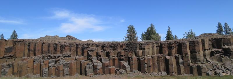
Near Spokane Airport there is some columnar basalt from lava flows 15 million years ago. When the lava cooled it shank and fractured. Basalt flows cover most of Eastern Washington flowing all the way to the Pacific Ocean.
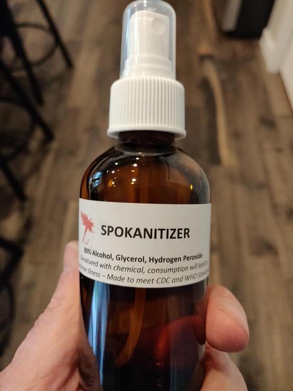
The FJR needs gas so it is time for Spokanitizer. It can kill viruses quicker than you can say Covid-19. Thanks to the Dry Fly Distillery in Spokane Washington for this.
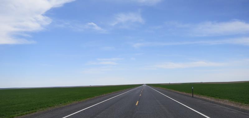
With a full tank the route is US 2 from Spokane to Davenport then State Hwy 28 to Odessa. The flood waters were as much as 300' high in some parts. Imagine that.
The next stop is Cache Crater near Odessa Washington with some farm land in between.
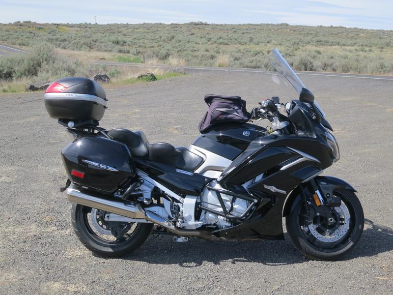
My '17 FJR at Cache Crater Parking lot. Great bike. I was messing around with the Electronic Suspension damping setting today. Soft was a bit too soft so I went back to standard at zero. I will mess with that some more as there are 7 levels for within each setting of soft, standard and hard.
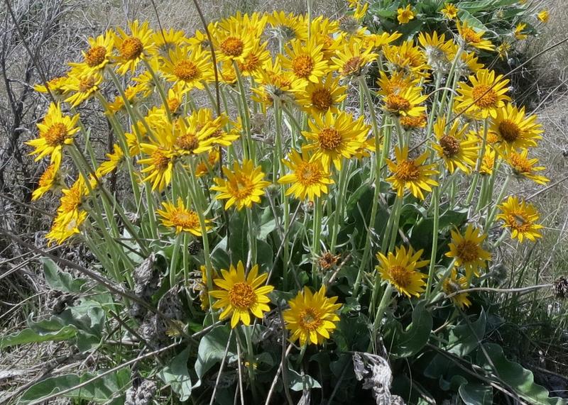
Arrowleaf Balsamroot provides color in a rocky landscape.
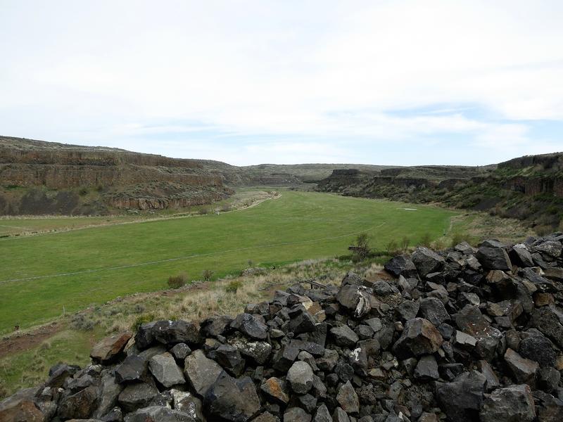
I grab my sandwich look at the trail sign advising watch out for rattlesnakes. Ok no problem. I doubt one will bite through my riding gear but have no interest in finding out. It is about 200 yards to Cache Crater.
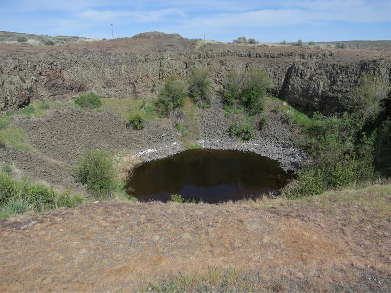
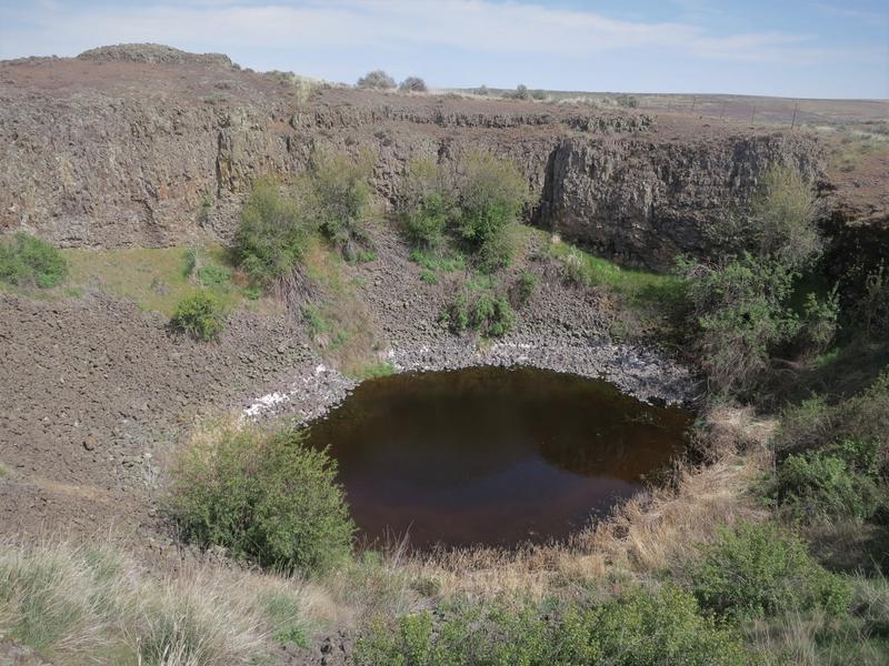
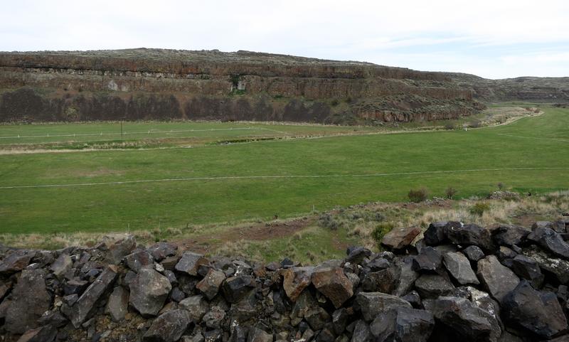
How these were formed is still under debate. One theory is lava from 15 million years ago cooled from beneath causing shrinkage cracks beneath then was subsequently carve out by the Ice Age Floods 15,000 years ago.
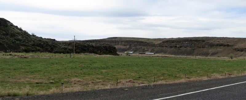
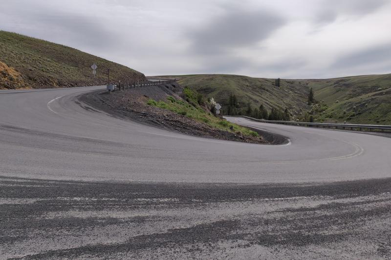
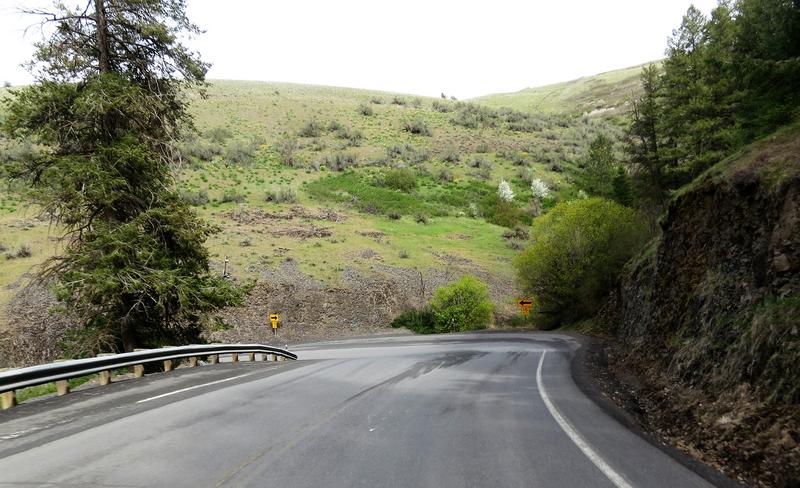
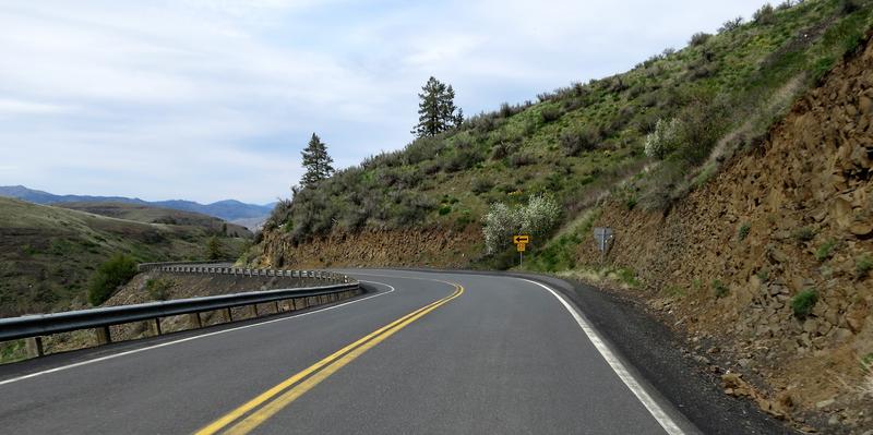
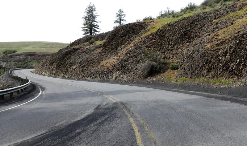
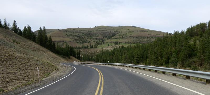
The next stop was Wilson Coulee. If you find a twisty road in Eastern Washington you are likely near a coulee.
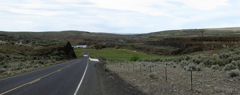
Imagine how much water it took to carve out this coulee.
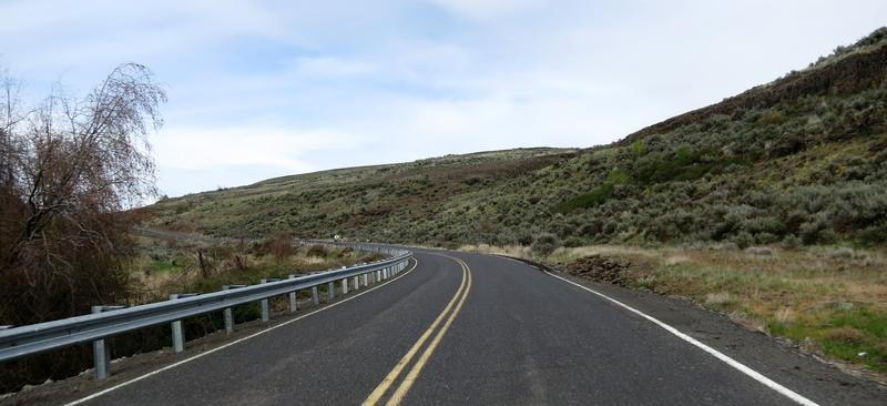
A bend in the road near Wilson Coulee.
My interest in Geology gets me away from the usual roads I ride and into the countryside where there is solitude compared to the crowded freeways and highways in metropolitan areas of the Western Washington. It is nice out here.
The next stop was to get some photos of Lake Roosevelt aka the Columbia River north of Wilbur Washington and to enjoy Hwy 21 as it drops a 1000'. This bit of road reminds me of the Moki Dugway as both come off a cliff. There the similarities end. Hwy 21 is not as impressive as the Dugway and it is paved. The 30 mph speed limit is ridiculous and was designed for Grandma driving a 1963 Chevy Impala with a slip-in-slide Powerglide.
As I pull over for this photo I didn't see Grandma in her '63 Impala but did see a gaggle of motorcyclist just rounding this turn. They didn't look very comfortable in these turns so I took my time taking photos.
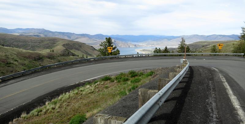
In the photo above are two yellow signs. One say 10mph the other 15. The 10 mph sign is on the right side where there is a longer radius. Hummmmm.......
Plenty of gravel in the road but thankfully it was easy to see.
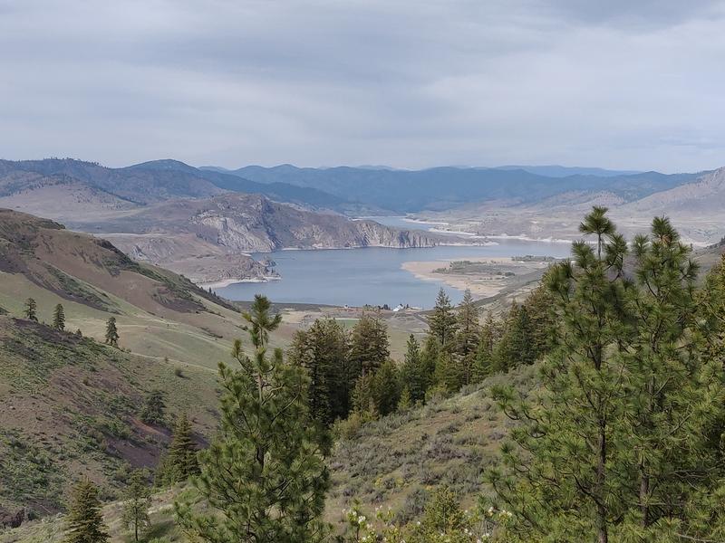
Notice the low reservoir levels typical for this time of year. It will fill up later this year.
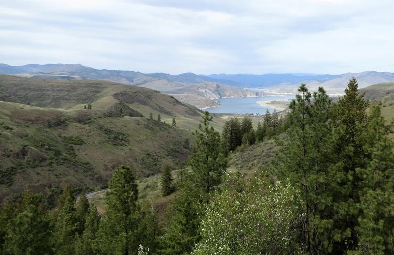
At little different point of view.
Driving down the hill I see a group of cars heading up the hill. The ferry must of docked recently. Quickly finding a place to turn around I head back up at a respectable pace taking a few photos along the way.
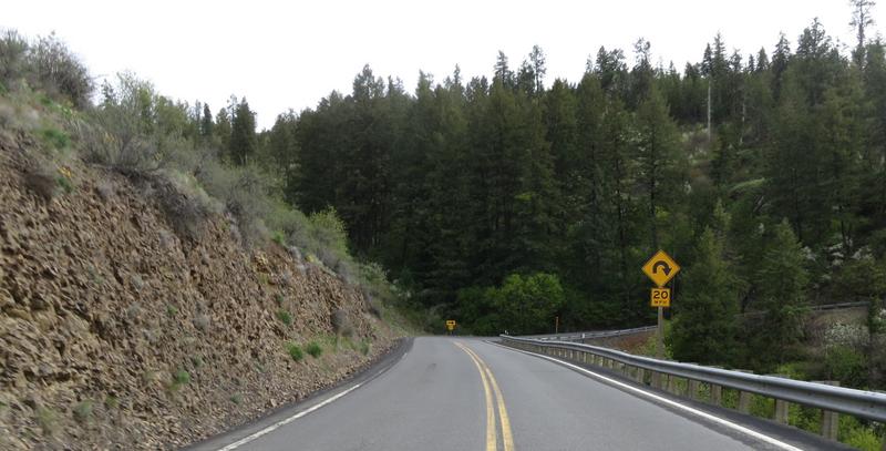
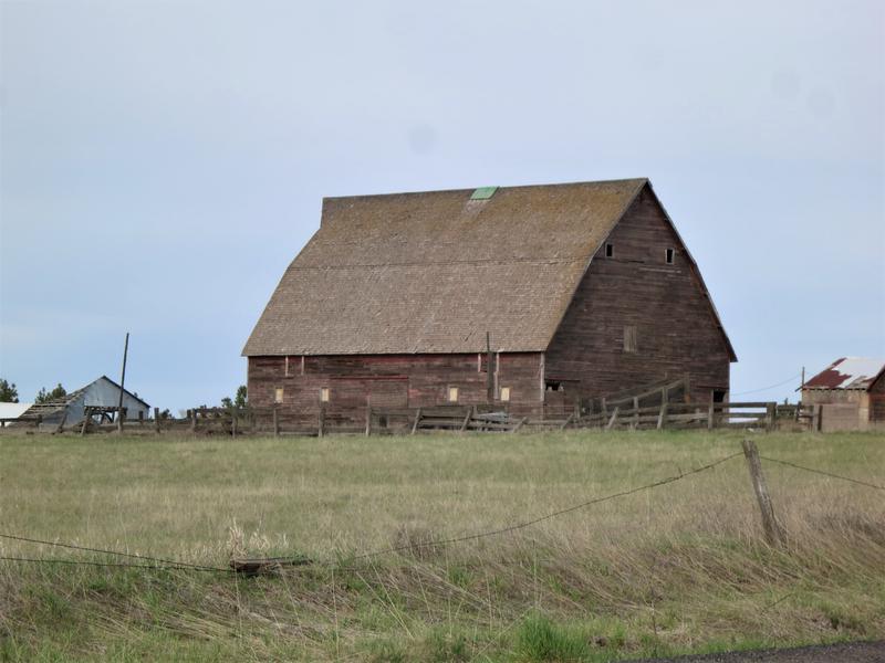
I take a few more twisty bits on the way home. A barn and it has a wood roof. Those are rare these days.
Last of the twisty bits.
And the end of this ride report.
The book On the Trails of the Ice Age Floods includes five road trips - cool. So I created a GPS route and put a few notes in my tank bag and created a couple of waypoints with names of features along the way. The wife signed up for this 230 mile loop.
On Sunday we are off. About 20 minutes later the wife says she is out due to being cold and no the electric jacket wasn't going to change her mine. So I turn around and dropped her off at home. No problem there is plenty of daylight left for this ride.
Near Spokane Airport there is some columnar basalt from lava flows 15 million years ago. When the lava cooled it shank and fractured. Basalt flows cover most of Eastern Washington flowing all the way to the Pacific Ocean.
The FJR needs gas so it is time for Spokanitizer. It can kill viruses quicker than you can say Covid-19. Thanks to the Dry Fly Distillery in Spokane Washington for this.
With a full tank the route is US 2 from Spokane to Davenport then State Hwy 28 to Odessa. The flood waters were as much as 300' high in some parts. Imagine that.
The next stop is Cache Crater near Odessa Washington with some farm land in between.
My '17 FJR at Cache Crater Parking lot. Great bike. I was messing around with the Electronic Suspension damping setting today. Soft was a bit too soft so I went back to standard at zero. I will mess with that some more as there are 7 levels for within each setting of soft, standard and hard.
Arrowleaf Balsamroot provides color in a rocky landscape.
I grab my sandwich look at the trail sign advising watch out for rattlesnakes. Ok no problem. I doubt one will bite through my riding gear but have no interest in finding out. It is about 200 yards to Cache Crater.
How these were formed is still under debate. One theory is lava from 15 million years ago cooled from beneath causing shrinkage cracks beneath then was subsequently carve out by the Ice Age Floods 15,000 years ago.
The next stop was Wilson Coulee. If you find a twisty road in Eastern Washington you are likely near a coulee.
Imagine how much water it took to carve out this coulee.
A bend in the road near Wilson Coulee.
My interest in Geology gets me away from the usual roads I ride and into the countryside where there is solitude compared to the crowded freeways and highways in metropolitan areas of the Western Washington. It is nice out here.
The next stop was to get some photos of Lake Roosevelt aka the Columbia River north of Wilbur Washington and to enjoy Hwy 21 as it drops a 1000'. This bit of road reminds me of the Moki Dugway as both come off a cliff. There the similarities end. Hwy 21 is not as impressive as the Dugway and it is paved. The 30 mph speed limit is ridiculous and was designed for Grandma driving a 1963 Chevy Impala with a slip-in-slide Powerglide.
As I pull over for this photo I didn't see Grandma in her '63 Impala but did see a gaggle of motorcyclist just rounding this turn. They didn't look very comfortable in these turns so I took my time taking photos.
In the photo above are two yellow signs. One say 10mph the other 15. The 10 mph sign is on the right side where there is a longer radius. Hummmmm.......
Plenty of gravel in the road but thankfully it was easy to see.
Notice the low reservoir levels typical for this time of year. It will fill up later this year.
At little different point of view.
Driving down the hill I see a group of cars heading up the hill. The ferry must of docked recently. Quickly finding a place to turn around I head back up at a respectable pace taking a few photos along the way.
I take a few more twisty bits on the way home. A barn and it has a wood roof. Those are rare these days.
Last of the twisty bits.
And the end of this ride report.