...
once I go tablet I can't go back ")
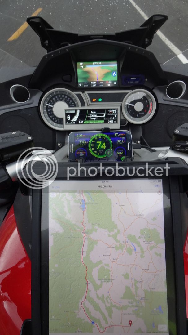
Thanks for sharing your experiences Mikerider - it is very useful info for us pathfinders that are looking for the best in terms of processing speed, screen size, and most flexible experience. I am able to make my TomTom do great things (using Google Maps and Tyre-to-Travel) and its 5" screen is nice **
BUT** adding Android and the larger screen to the mix is going to be a game changer for me.
Did anyone consider (or actually purchase) a tablet through their cell phone provider along with a 4G data plan? Would that enhance the GPS functionality to have direct cell tower access? (even though sometimes you are without coverage).
ISSUES:
- Some phones and tablets get very hot when left on for hours (as pointed out here earlier)
- Too big of a device can look awkward when mounted on your handlebars (is 7" my max to avoid that look?)
- Capacitive Touchscreens on tablets and smart phones do not work with standard motorcycle gloves (sew sliver threads into finger tips?)