Mount Hamilton Ride 4-23-11

Yamaha FJR Motorcycle Forum

Help Support Yamaha FJR Motorcycle Forum:

This site may earn a commission from merchant affiliate links, including eBay, Amazon, and others.

TomInPA

Well-known member
Joined
Nov 30, 2010
Messages
3,470
Reaction score
1,261
Location
Murrysville, PA
Madmike2 and I are planning to ride to Mt. Hamilton on Saturday April 23. For those of you who observe Easter weekend this might be a conflict, but if you're into riding some great countryside, it could be a nice opportunity to get together and enjoy the best green of Spring in California. Here is the plan:

Sacramento riders will meet at the Laguna Blvd 76 station in Elk Grove, time to be determined. We will ride to the Delta hwy 160, through Isleton, to arrive in Antioch at the intersection of Lone Tree Rd. and Deer Valley Rd at the Chevron Station about an hour later. This is an ideal location to meet up with most Bay Area riders.

Plan for kick stands Up in Laguna at 9:00 AM. Leaving Lone Tree in Antioch at 10:00 AM.

If anyone want the Garmin route file send a PM with your email. Otherwise, the route is shown here on Google Maps.

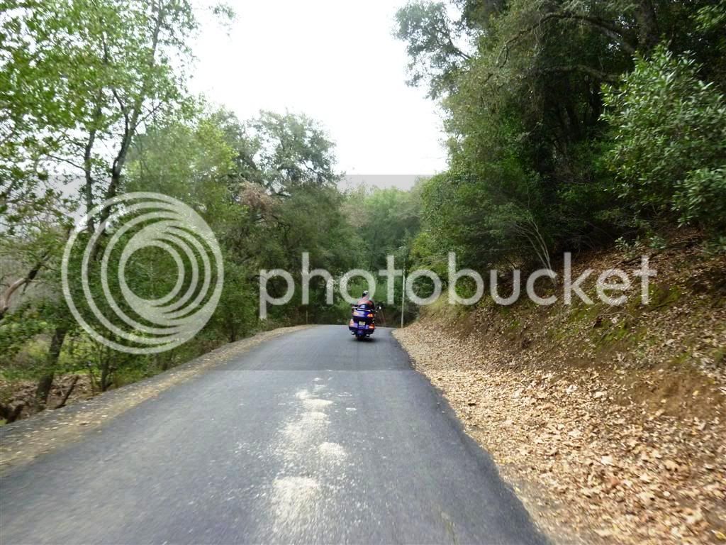
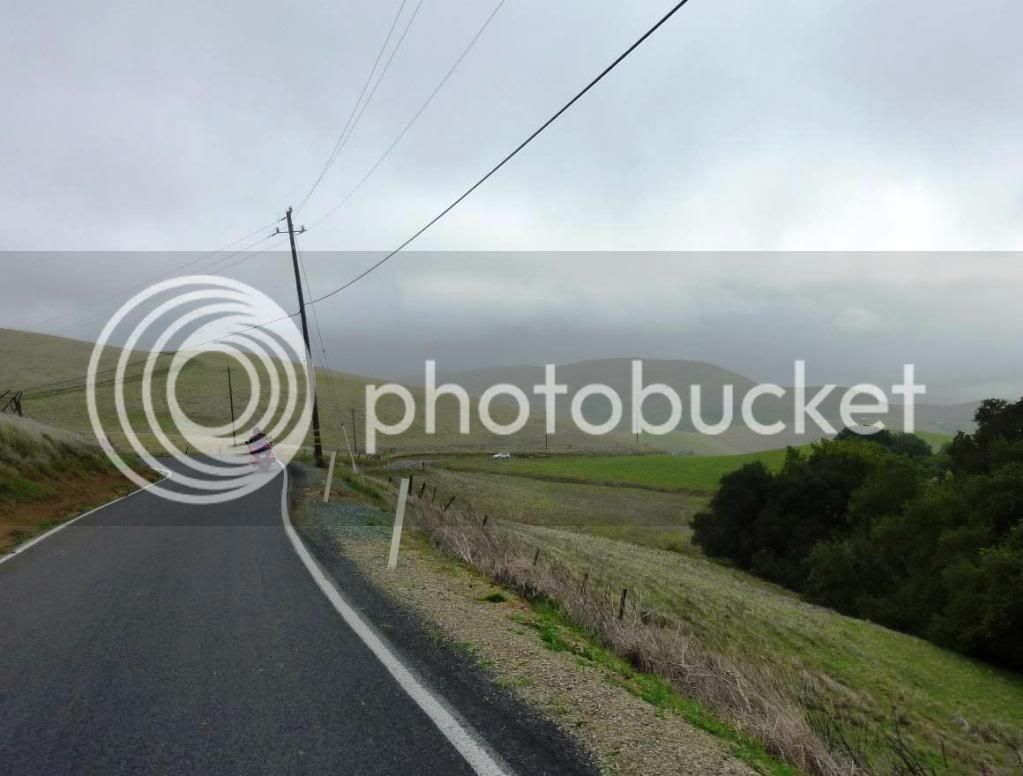
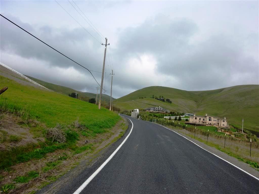
From there, the plan is to head south on Deer Valley to Marsh Creek Rd, then jog west to Morgan Territory Road. This is a narrow winding road at the foot of Mt. Diablo and very interesting. We will continue to head south to Livermore and exit south on Vallecitas Rd. From Livermore, the route is a loop that includes Calavaras Road, Sierra Road, Mt. Hamilton and Mines Road returning to Livermore where we will likely part company with the Bay Area riders. The Sacramento riders continue north to Hwy 4 and travel to I-5.

We could add a meetup point in Livermore if needed, and so far, I don't know where we might want to stop for lunch, or if we should just pack food. For the Sacramento riders this is almost 320 miles not counting arriving at the meeting place. Considering the roads, have a few twisties, this will be a long ride.

Please offer suggestions for lunch and route changes. PM your email if you want a Mapsource file with the route. If this weekend doesn't work for you, we will hope to catch you on the next trip.

 
Last edited by a moderator:
Tomin, wish I could join up especially you guys comin through my town and riding in my backyard in all. Got roped into being bbq cook at my wife's family get-to-gether Saturday and watching my grandaughter hunt Easter eggs. Wouldn't miss that for the world. B) Then cooking again at my families at my mom's on Sunday.

Anyway you guys be safe on those narrow roads and have much fun. Also, I think your meeting spot after coming down into Antioh at the Chevron station would be on the corner of Lone Tree Rd. and Deer Valley Rd. instead of Lone Pine and Deer Creek. If you come in from Hwy. 4, you want to exit off on Hillcrest Ave. which runs into Deer Valley Rd., then turn left on Lone Tree Rd. and enter the Chevron station from there. Take care and I do want to do the next NorCal ride for sure, PM. <>< :unsure:

 
Last edited by a moderator:
I feel your pain! And yes, it is Lone Tree. I'll correct the first post. Must have been thinking Back to The Future or something.

Since you're in the neighborhood anyway, feel free to ride Morgan Territory and turn around to attend to priorities if it works. It would be great to meet you.

 
Last edited by a moderator:
Count me in if I have fixed my headlight problems by then - which I am hoping I would have. :)

Morgan Territory Road is good fun! Jerry White showed me that road back in February!

P1020178Large.jpg


P1020182Large.jpg


P1020184Large.jpg


Hope to make this one!
clapping.gif


Nice route, my Lady and I just looped from home to the corners, over to Patterson and back home. Mines road was in great condition with just a little water crossing in two spots.

I'm going to try and join you this Saturday in Antioch since I live in Brentwood. I work in downtown Sac and it takes me about 70 minutes or less door to door. You guys should make it from Elk Grove in an hour or less. Let me know the time and I'll meet the group at the Chevron.

Some pics from a Mt Hamilton trip.

HamiltonDiablo011a.jpg


HamiltonDiablo002a.jpg


Last edited by a moderator:
I just rode the Mines - San Antonio Valley - Mt. Hamilton route last weekend on my FZ1. Everything is great up to the top of Mt. Hamilton - San Antonio Valley is green right now, instead of the brown/dusty look you see most of the year.

I'd recommend that you consider reversing course at the top of Mt. Hamilton - the front side has a lot more bad pavement and dirt/gravel in the turns which makes the downhill trip a lot less fun in my opinion. If you don't want to completely reverse course, maybe on the way out you turn right at The Junction and head out to I5 via Del Puerto Canyon Road to see some new road?

Just a thought....

I might be interested in joining up if you decide on a meeting stop in Livermore.

 
Have to see what else is on the docket for this weekend before I can commit, but have wanted to ride Mt. Hamilton since learning it exists thanks to Silent.

I rode Morgan Terr Rd once and found it a goat trail, and worried that cars coming the other way with distracted or stupid (same thing) drivers could take you out since stay right stay alive doesn't work all that well on one-lane roads. So if I can make it would probably look for y'all on the back end.

Hg

 
Do watch for gravel patches in the corners on Mt Hamilton road, there's very few places to land a helicopter on Mt Hamilton. I know, I've taken the flight out :( and be watchful of the ricer cars racing on the one lane section of Caliveras road.

 
Do watch for gravel patches in the corners on Mt Hamilton road, there's very few places to land a helicopter on Mt Hamilton. I know, I've taken the flight out :( and be watchful of the ricer cars racing on the one lane section of Caliveras road.
That sounds not so good.
blink.gif


Plan for Kickstands Up in Laguna at 9:00 AM. Leaving Lone Tree in Antioch at 10:00 AM.

If anyone want the Garmin route file send a PM with your email. Otherwise, the route is shown here on Google Maps.

Still looking for a lunch spot if anyone has ideas. We will be passing by Country Club Villa shopping center at about noon.

 
Last edited by a moderator:
Do watch for gravel patches in the corners on Mt Hamilton road, there's very few places to land a helicopter on Mt Hamilton. I know, I've taken the flight out :( and be watchful of the ricer cars racing on the one lane section of Caliveras road.
That sounds not so good.
blink.gif
The warnings about Calaveras Road are real. I've ridden that road many times, and there are dozens of blind corners and since its so close to civilization, lots of Ricky Racers on motorcycles and in cars that are crossing the center frequently. It is a beautiful road, very fun, but overall I'd call it one of the more dangerous roads around the Bay Area mainly due to the volume of traffic.

 
Friday bump! We're riding tomorrow. 9:00 AM leave Elk Grove, 10:00 leave Antioch, about 11:00 in Livermore and noon in San Jose if you want to catch us late along the route.

 
Friday bump! We're riding tomorrow. 9:00 AM leave Elk Grove, 10:00 leave Antioch, about 11:00 in Livermore and noon in San Jose if you want to catch us late along the route.
Tom emailed you. Can you send me the GPX file for the route?

Thanks!

 
Don't look for me, but feel free to spare me a thought as you ride some of my favorite roads. I have the extreme pleasure of earning 1.5 x pay tomorrow :huh:

 
Top