Name That Place Game

Yamaha FJR Motorcycle Forum

Help Support Yamaha FJR Motorcycle Forum:

This site may earn a commission from merchant affiliate links, including eBay, Amazon, and others.
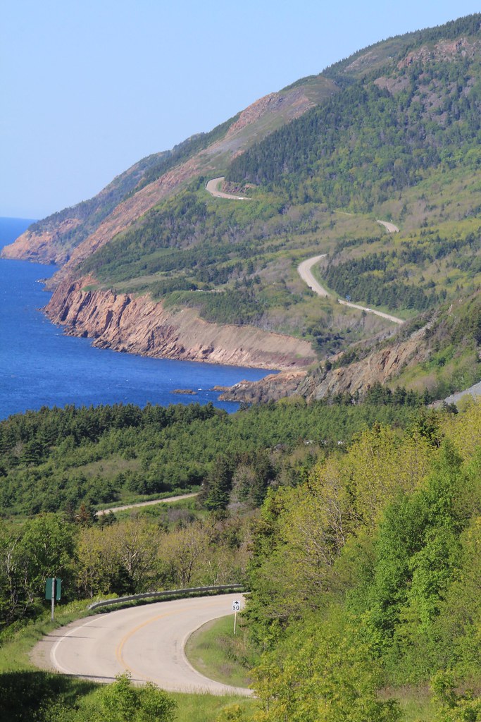
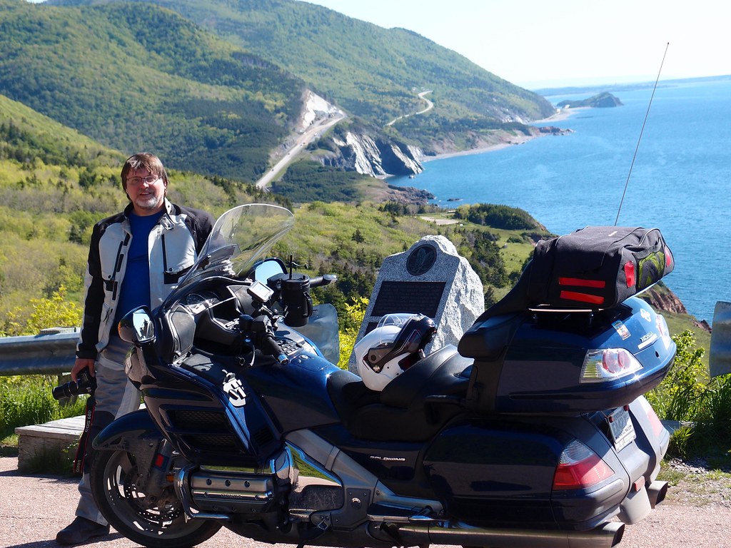
For D, I showed my wife a video of it and she said, "No way I'm riding that!" Then we did it and she said, "Let's do that again!"  

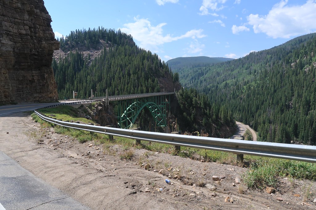
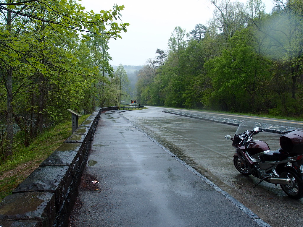
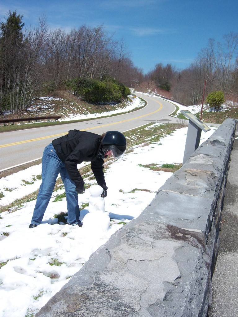
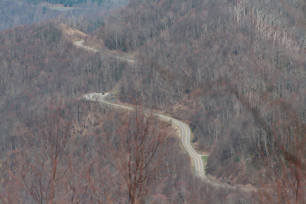
For E, it is a bridge that for me marks the start of a very popular motorcycle road.

 
Nope for D. Partial credit for F as it is between KY and VA - see below... 

Correct!!
Ha, I didn't look that close at D. I believe I have been on it though. Colorado comes to mind but too many miles to remember where it was.

Yep, F seems about right from that ride in 14

 
Ha, I didn't look that close at D. I believe I have been on it though. Colorado comes to mind but too many miles to remember where it was.
You have the right state for D. It's not a main road but it's actually in a town. The town is better known for another landmark 10 miles away, but this road is a much more interesting sight for motorcyclists.

I'm surprised no one recognizes E yet.  I've got lots of pics of that road and will post another if no one gets it by tomorrow evening.

 
Fredrider says D is near Canon City NM. Does he mean Canon Plaza? I have not been on Sky line Drive but I have ridden many roads in the Taos area and know where Canon Plaza is located.
D'oh!!!

I meant Canon City Co. Don't know where my brain was while my fingers were typing 😌

 
Duh on me too.  I had already said it was in Colorado and then when Fredrider said Canon City that is all I saw.  It is Skyline Drive in Canon City Colorado. 

Not my video, but a good one:


Correct and double credit for riding there! Yes, that is it.  It is basically the start of the Cherohala Skyway from the TN side.
I am ashamed to say I have ridden past it over a hundred times and never paid much attention. And now, I live only 1 hour away from Tellico Plains. 😬

 
Pictures "I" looks like the second of three Pig Tails on 16A or the Iron Mountain road North of Custer State Park SD.   

The Northern most Pig Tail on this road taught me a little lesson about riding the Pig Tails on enduro tires like I had super moto tires.  It was the last one headed North riding with MrBill and CJ nearly finishing up the DakAL on dual sport bikes when I decided to leave them in my dust and have a little fun.  I was fully loaded with four days of gear on a Beta 500 RR-S shod with enduro tires when I low sided while having too much fun.   MrBill and CJ had to pick me up and dust me off after scratching up my new Beta.
Ouch! Sorry about the low-side but correct on the I picture(s) beIng Iron Mountain Road. For those not familiar with it, if you look in the other direction from that pig tail bridge you would see Mount Rushmore. 

It’s funny what people remember and recognize. I remember that pig tail bridge very well and it’s what I think of from those roads but I didn’t think anyone would recognize it from that blurry pic. 

The bridge in Tellico Plains in the previous group is what I always think of from the Cherohala but as blchaldnl2 pointed out he didn’t recognize it after being by it 100 times.

So you guys get the ones I think are hard and are slow on the ones I think are easy. This is fun. 

 
Place G:


Place H:


Ok, it's been about a week, so I'll help on these...

G is as far northeast as we have been and will ever go. It is not in the US.

H is a bridge named for a small town a half mile north of the bridge on a great motorcycle road, but motorcyclists crossing it are likely heading up from an old mining town with a colorful past:


I recognized the area for pic "eye" by the trees.  I didn't know the name of the road, but I never saw that combination of wide-spaced pines and the open forest floor anywhere but the area around Rushmore (the second shot of it shows it best).  I stumbled onto Skyline Drive in Canon City thanks to the nice lady who worked in the local tourist info center.  I'm not sure what I went in to ask about, but she recommended this little gem of a road and told me how to find the entrance.  IIRC, Canon City was just at the bottom (or east end) of Monarch Pass on one of my local roads, US 50.  (Well, it's local here.)  11.300 ft. alt.  Beautiful road.

Pretty good idea for a thread--thanks Goodman.  Maybe others could post here too.

 
Top