Looks like the waiting room at the free clinic...


Hey, if you're gonna fly that bird in honor of TWN you need to do it with AUTHORITY and get it up there where folks can see it! See THIS THREAD for proper salute etiquette.
Well Old Michael, thank God it was not the waiting room at the Sperm Bank; that would dilute NorCal's gene pool for a while!Looks like the waiting room at the free clinic...
:lol:Well Old Michael, thank God it was not the waiting room at the Sperm Bank; that would dilute NorCal's gene pool for a while!Looks like the waiting room at the free clinic...


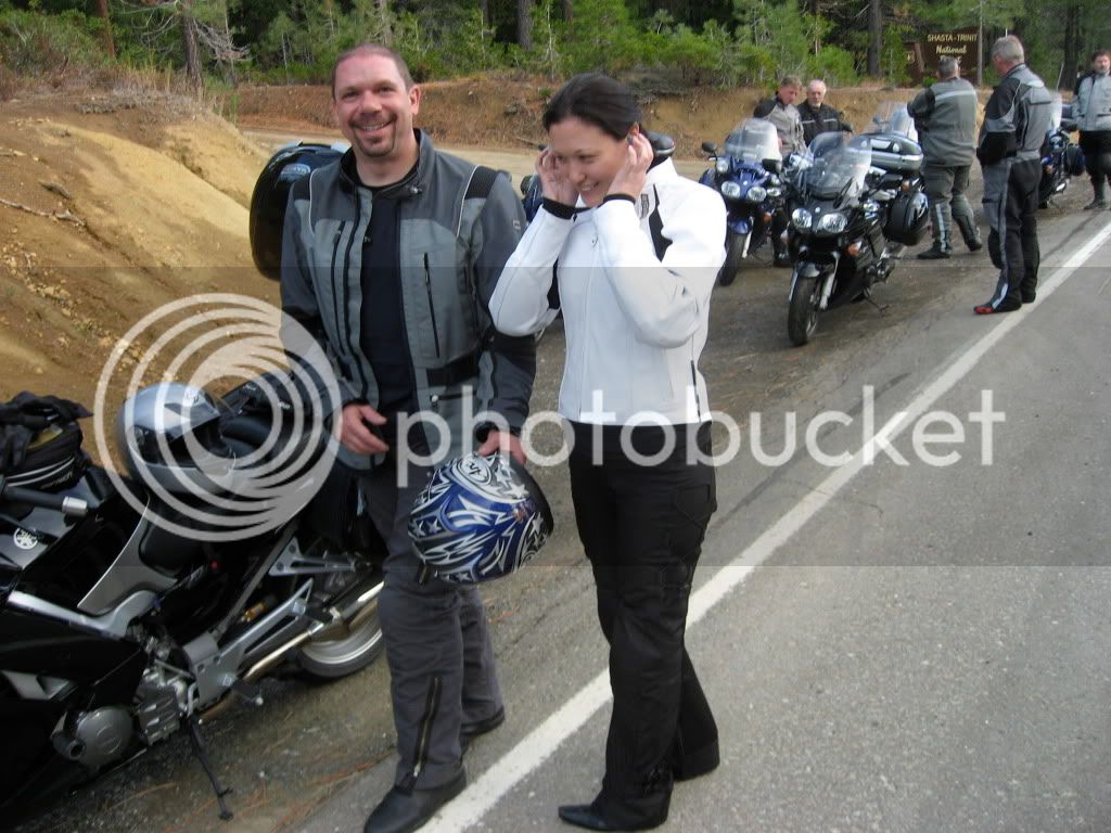
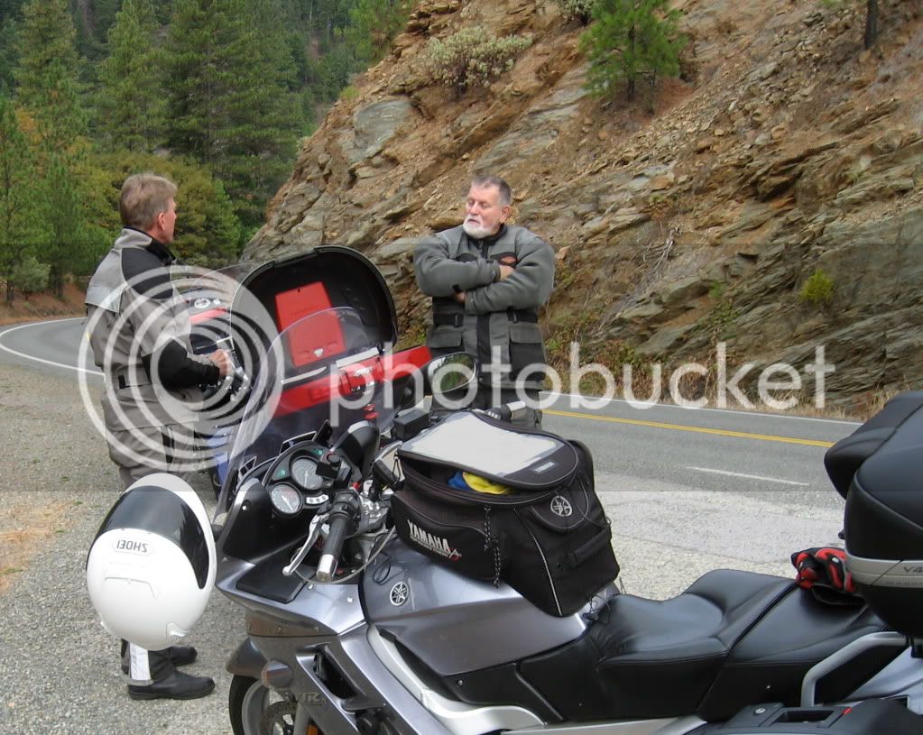
+ 1 ......... very nice Lisa.wow.... NICE work....Here are the pics Lisa took
I'm putting ideas together to do a NorCal ride next spring.
If you can remember, please post your route from Mill Valley to Red Bluff. There are so many choices, I was wondering what you thought of the route you took.
The NorCal roads: 36, 3, 96, and 299 are pretty much self-explanitory.
Thanks
It's easier to email it as an attachment.As soon as I figure out how to insert a Mapsource Map into this post?!?... Anyone?
I'm putting ideas together to do a NorCal ride next spring.
If you can remember, please post your route from Mill Valley to Red Bluff. There are so many choices, I was wondering what you thought of the route you took.
The NorCal roads: 36, 3, 96, and 299 are pretty much self-explanitory.
Thanks
To post it here one has to save it to your computer (outside the Mapsource program) then move it to a hosting site and post it here as an image.
That's why those who plan rides post the Google Maps link and let folks use those waypoints to create their own mapsource route.
).
I hate to say it , but it looks like their fathers were shooting small caliber ammo ...:lol:Well Old Michael, thank God it was not the waiting room at the Sperm Bank; that would dilute NorCal's gene pool for a while!Looks like the waiting room at the free clinic...
:rofl:
Don, you'd have to figure that bunch is shooting blanks.
Thank you very much. Your route contains a bit more slab on the 101 & 5 than others have suggested, but it seems more practical for time. I will keep this portion of the ride in mind for our trip next spring.Map Attached:
There are other routes that can be taken. For instance, one could ride West on on Hwy 116 through Guerneville then North to Stewarts Point/Skagg Springs to Hwy 101, go North to Hopland and ride East up Hopland Grade (Hwy 175), left on Hwy 29 to Hwy 20. Rather than heading North on I-5, continue to Colusa and take Hwy 45 North (a nice 2 lane road through the farm country) to Red Bluff.Thank you very much. Your route contains a bit more slab on the 101 & 5 than others have suggested, but it seems more practical for time. I will keep this portion of the ride in mind for our trip next spring.Map Attached:
Riding on the 96 from Yreka to Willow Creek, are there any road restrictions due to time of year (winter snow, etc.)? If so, how soon in the year has anyone ridden this road?
Thank you very much,
Geo
Riding on the 96 from Yreka to Willow Creek, are there any road restrictions due to time of year (winter snow, etc.)? If so, how soon in the year has anyone ridden this road?
Thank you very much,
Geo
Enter your email address to join:
