


yamafitter
Reigning NERDS Granite Lane Gold Medalist
RaYzerman & I are in the early stages of planning a ride that will take us to Shasta Lake, California (the home of Russell Seats) after NAFO.
We spent some time earlier this week checking some maps and playing with Mapsource and have put together an initial plan but need some input from the locals as to improvements.
Day 1 - Castlegar to Auburn, WA
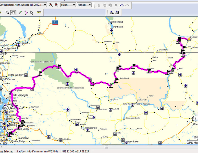
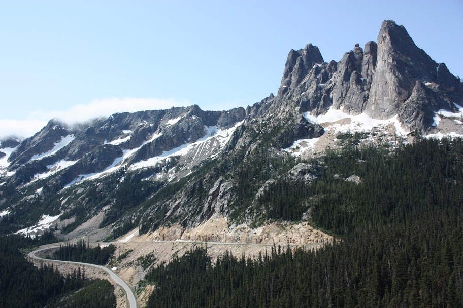
We start out from Castlegar on Hwy 3 and then take 3b to Rossland and continue south southing the border and following the Columbia River along Hwy 25. At the bottom end of Roovevelt Lake we turn west on Hwy 20 and follow it all the way across the North Cascades National Park before turning south towards Auburn. Distance 735 km (456 miles).
Day 2 - Auburn to Oregon City
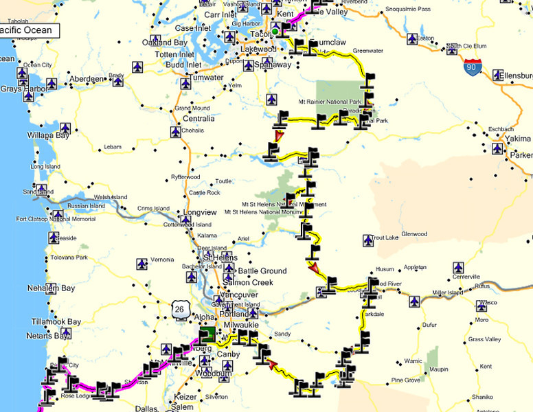
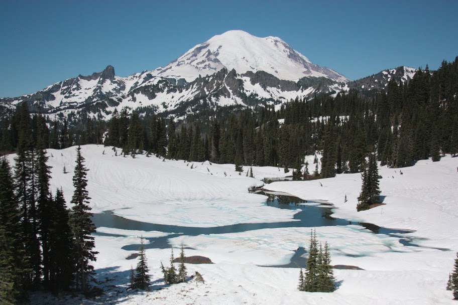
The Day 2 plan is to head south from Auburn on Hwy 410 down through the east side of Mt Rainer National Park. We then turn onto Stevens Canyon Rd at the south end of the park and run over to Elbe where we turn south on Hwy 7 and then work our way down to NF 25 & NF 99 to ride into Windy Ridge on Mt. St. Helens. I did this ride in 2010 and it is on Ray's Bucket List and we consider it a must do.
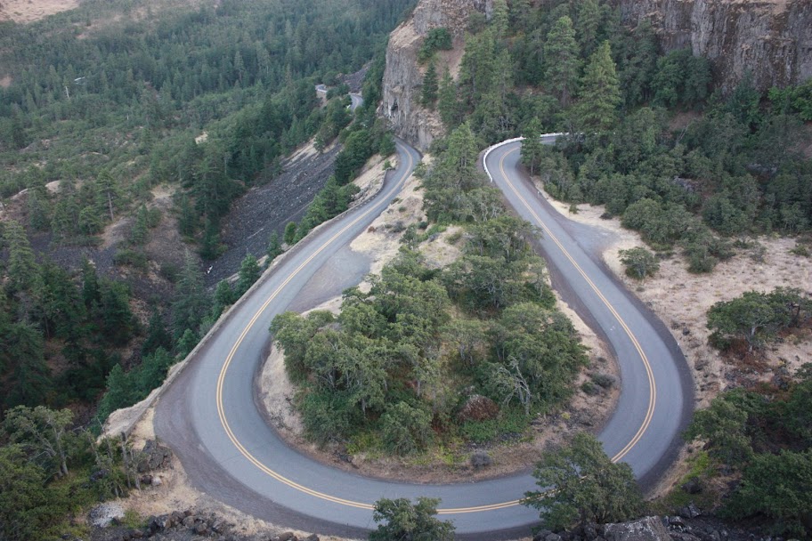
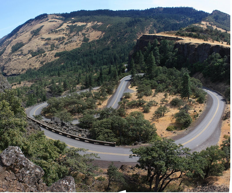
Once we exit the south end of the park I would like to head over to Mt Hood and take Ray up to the Timberline Lodge (site of the exterior shots from Jack's movie 'The Shining') before ending up in the hometown of GP Suspensions. Distance 677 km (420 miles)
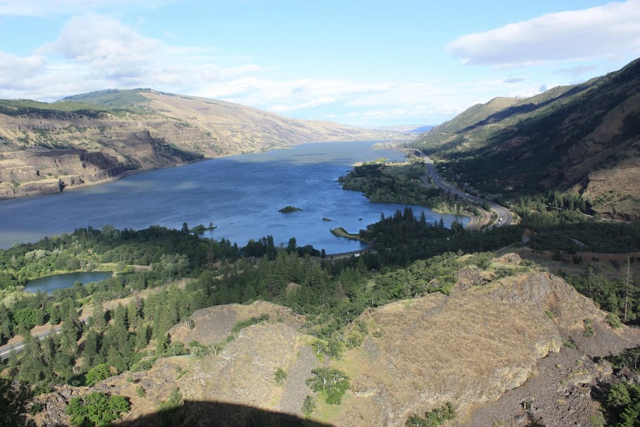
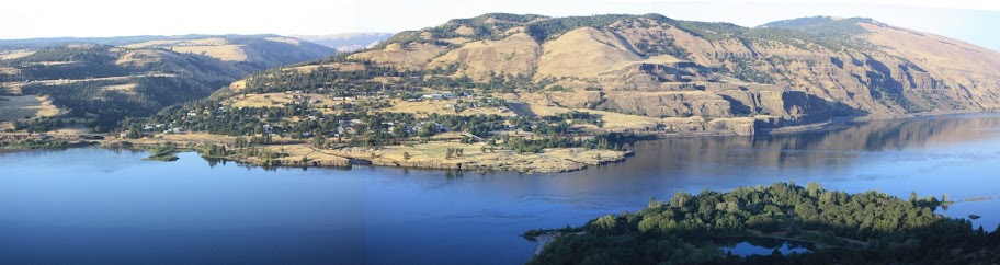
Day 3 - Oregon City to McKinleyville, California
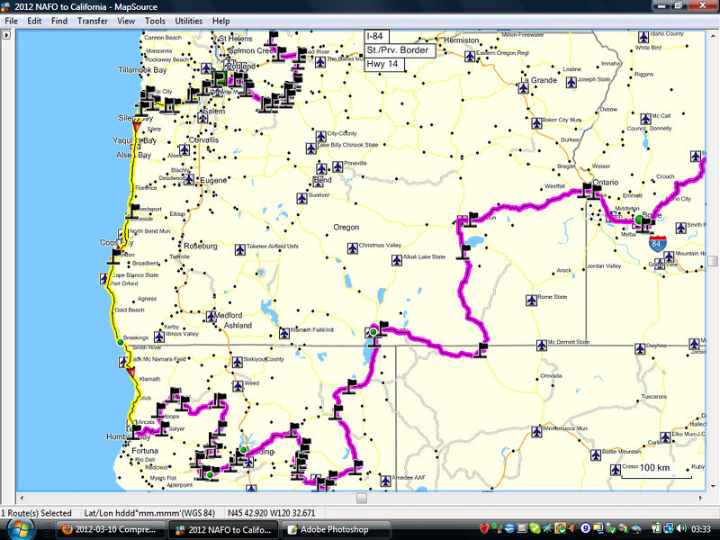
The route for the day is highlighted in yellow and is pretty simple, take Hwy 18 out of Oregon City and then run down the coast. Distance 689 km (428 miles).
Day 4 - Mckinleyville to Shasta Lake
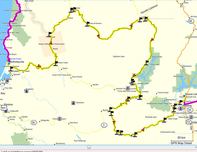
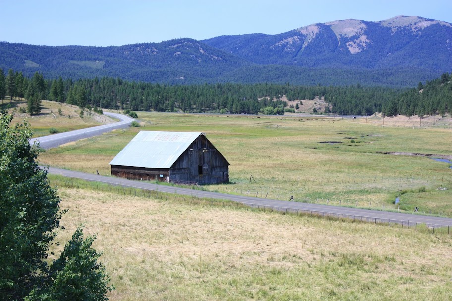
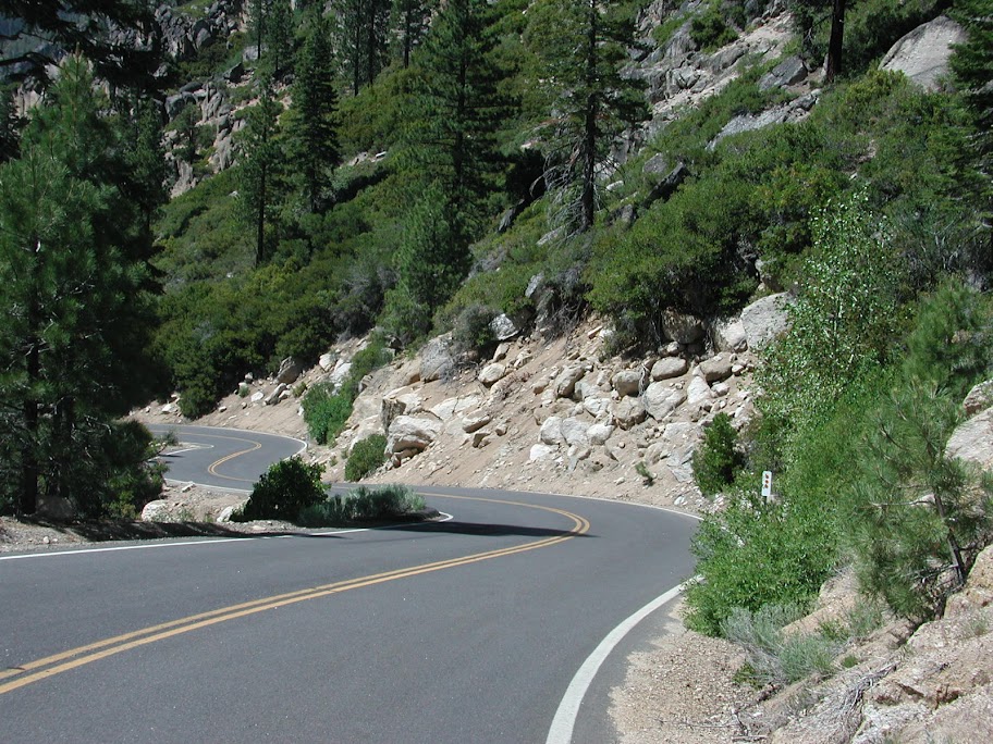
Some of these roads I am not at all sure about. The plan is to take Hwy 299 to the Bigfoot Scenic Hwy (Hwy 96) up as far as Somes Bar. We then plan on taking a shortcut on Salmon River Rd to Cecilville Rd and then south on CA-3. We paln to go south on CA-3 down to Rush Creek Rd and then down to Hwy 299. We will then follow Hwy 299 west back to CA-3 and turn south and go down to Wildwood Rd and then down to Hwy 36 which will take us over very near Shasta Lake. Distance 523 km (324 miles)
This plan contains minimal slab by design. Comments and suggestions for improvement to this planned route would be appreciated. If anyone would like to join along for any portion of this ride you are more then welcome. I will post the rest of our plan later if anyone is interested (basically over to Yellowstone Park, Beartooth Pass, up to Glacier National Park to run the Road to the Sun and then back to Calgary)
We spent some time earlier this week checking some maps and playing with Mapsource and have put together an initial plan but need some input from the locals as to improvements.
Day 1 - Castlegar to Auburn, WA
We start out from Castlegar on Hwy 3 and then take 3b to Rossland and continue south southing the border and following the Columbia River along Hwy 25. At the bottom end of Roovevelt Lake we turn west on Hwy 20 and follow it all the way across the North Cascades National Park before turning south towards Auburn. Distance 735 km (456 miles).
Day 2 - Auburn to Oregon City
The Day 2 plan is to head south from Auburn on Hwy 410 down through the east side of Mt Rainer National Park. We then turn onto Stevens Canyon Rd at the south end of the park and run over to Elbe where we turn south on Hwy 7 and then work our way down to NF 25 & NF 99 to ride into Windy Ridge on Mt. St. Helens. I did this ride in 2010 and it is on Ray's Bucket List and we consider it a must do.
Once we exit the south end of the park I would like to head over to Mt Hood and take Ray up to the Timberline Lodge (site of the exterior shots from Jack's movie 'The Shining') before ending up in the hometown of GP Suspensions. Distance 677 km (420 miles)
Day 3 - Oregon City to McKinleyville, California
The route for the day is highlighted in yellow and is pretty simple, take Hwy 18 out of Oregon City and then run down the coast. Distance 689 km (428 miles).
Day 4 - Mckinleyville to Shasta Lake
Some of these roads I am not at all sure about. The plan is to take Hwy 299 to the Bigfoot Scenic Hwy (Hwy 96) up as far as Somes Bar. We then plan on taking a shortcut on Salmon River Rd to Cecilville Rd and then south on CA-3. We paln to go south on CA-3 down to Rush Creek Rd and then down to Hwy 299. We will then follow Hwy 299 west back to CA-3 and turn south and go down to Wildwood Rd and then down to Hwy 36 which will take us over very near Shasta Lake. Distance 523 km (324 miles)
This plan contains minimal slab by design. Comments and suggestions for improvement to this planned route would be appreciated. If anyone would like to join along for any portion of this ride you are more then welcome. I will post the rest of our plan later if anyone is interested (basically over to Yellowstone Park, Beartooth Pass, up to Glacier National Park to run the Road to the Sun and then back to Calgary)
Last edited by a moderator:


")
