hppants
Well-known member
Fred - it's possible you are warm, but not likely.


You are correct on the name, but pretty far off on the location. Tucumcari is completely on the eastern side of NM, Shiprock is completely to the western side. Actually outside the town of Shiprock (go figure), getting very close to the 4 corners area.I believe that is what they call the Shiprock, outside of Tucumcari, NM. I've been there, and I've gazed at it, and to this day, I cannot see the "ship" in the rock....
He gets credit for the name. And it is "outside" Tucumcari, just almost 400 miles outside. That picture is actually from the town of Shiprock which is 10 miles away. We were going to stay in Tucumcari that trip, but made it to Santa Fe instead with lunch in Las Vegas, NM.You are correct on the name, but pretty far off on the location. Tucumcari is completely on the eastern side of NM, Shiprock is completely to the western side. Actually outside the town of Shiprock (go figure), getting very close to the 4 corners area.
How does that tie in with...Bear Lake Utah?
2. That body of water has ties to the Rock-n-Roll Hall of Fame.
That would make sense given the location of the R&R Hall of Fame.I think it's Cleveland Reservoir on UT 31 about 70 miles SE of Provo.
I love that place on a 100 degree day. Out riding today with Don Carver so I’ll let someone else get this one.Thanks, Pants. There are some good looking roads in that area.
Let's try this one.
Hey! I've ALMOST been there. Would have ridden through there in 2018 on our way to Helper UT but the Spanish Fork fire caused us to detour all the way down to Scipio, east on 70 and then up 10.Josh and I were freestyling it generally east after YFO2017. During lunch, I did what I do - check the map and look for twistiest path. I noticed the State map indicated that Mt. Candland was 10,xxx feet. It was getting warm, and when it gets warm, go up! UT31 is a wonderful road to explore and I would highly recommend it. The greenery felt out of place, having just spent a day or two in the red rocks.
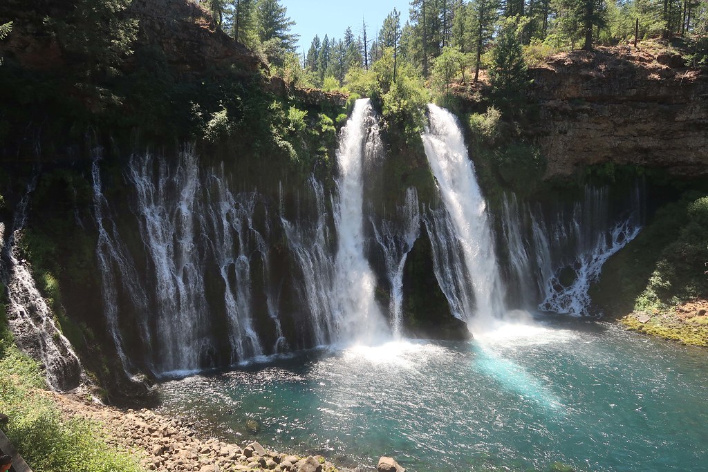

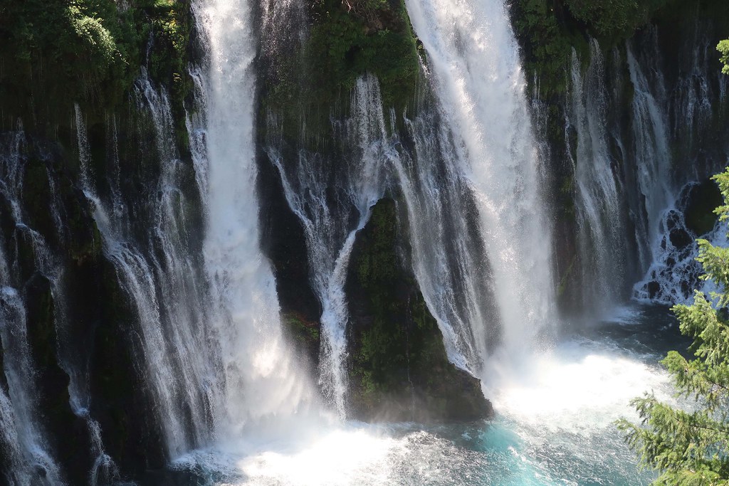
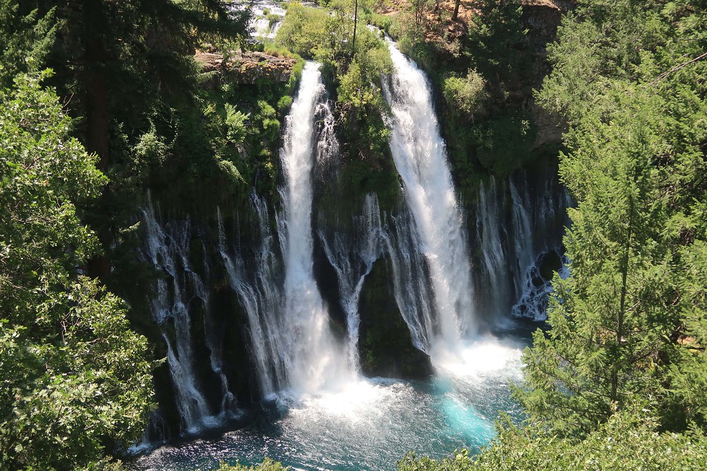
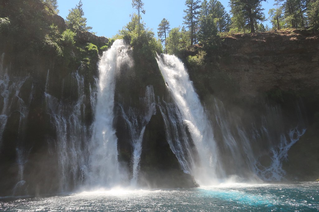
You got it, Art! It's your turn if you want to post a place.Burney Falls in northern California. Been there several times.
Enter your email address to join: