The Goodmans' California quest for great roads and scenery

Yamaha FJR Motorcycle Forum

Help Support Yamaha FJR Motorcycle Forum:

This site may earn a commission from merchant affiliate links, including eBay, Amazon, and others.

Goodman4

Pressing on
Joined
May 18, 2012
Messages
574
Reaction score
360
Location
Hopkinsville, KY
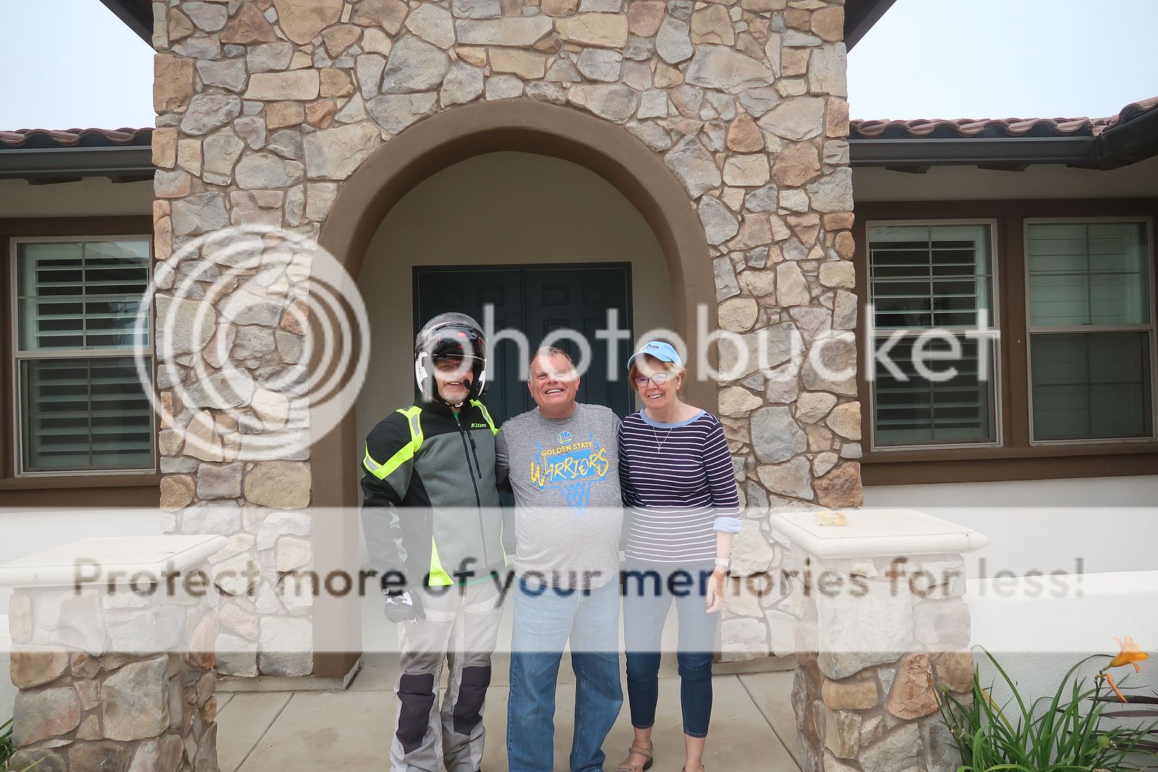
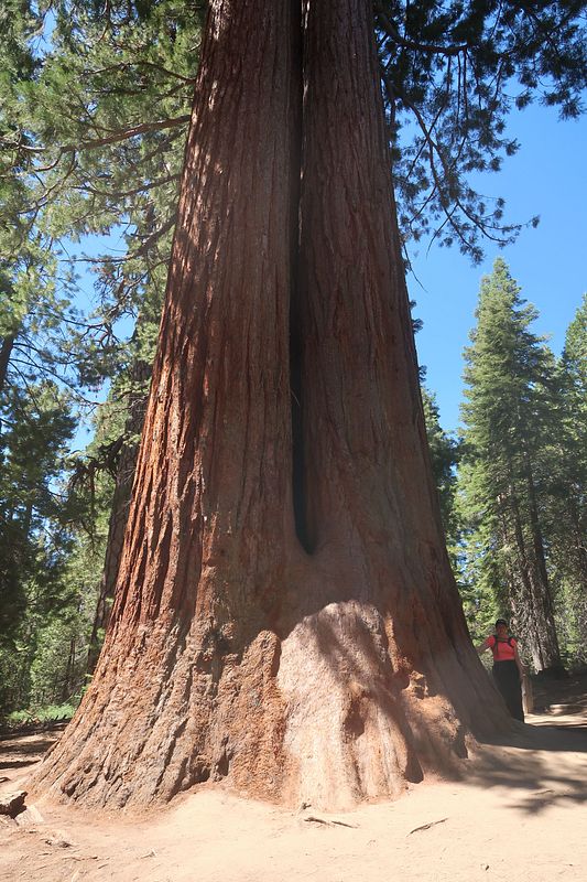
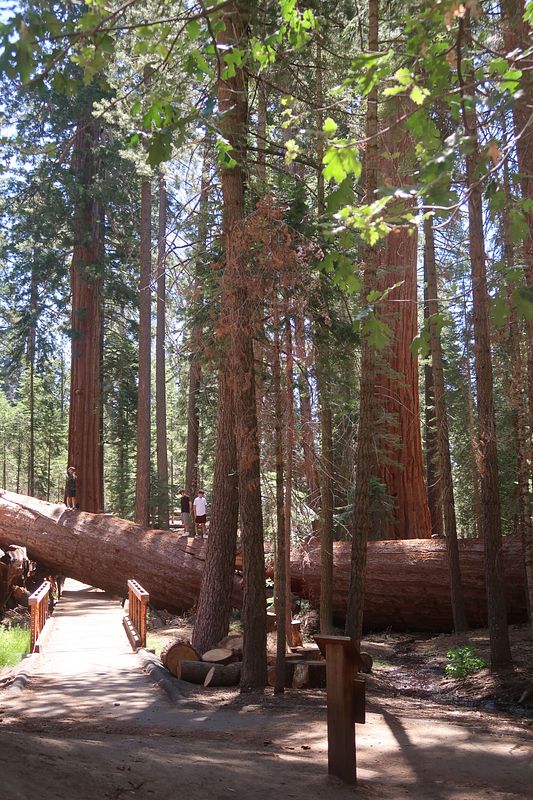
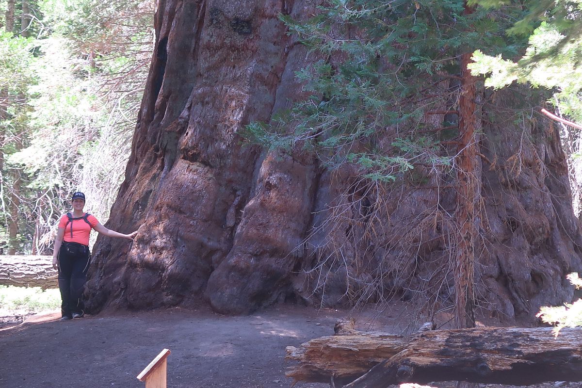
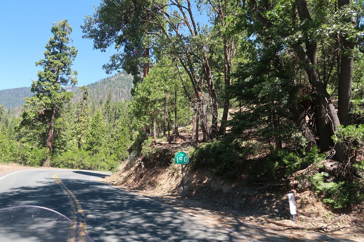
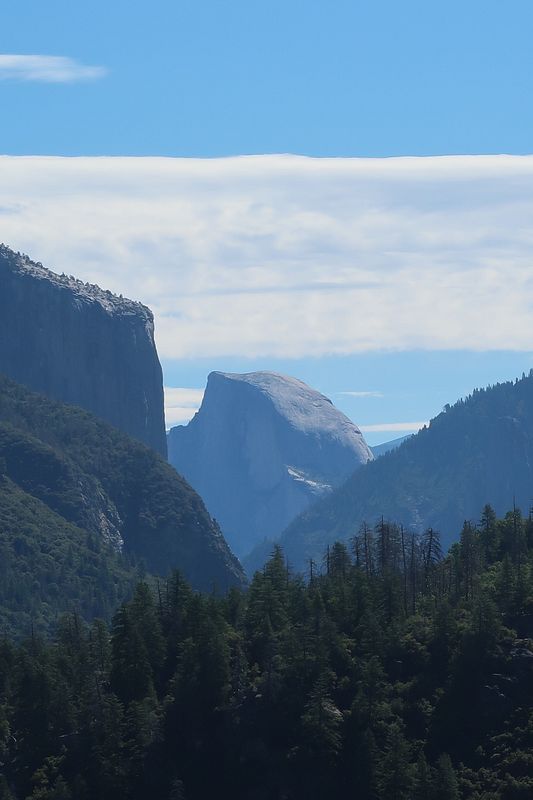
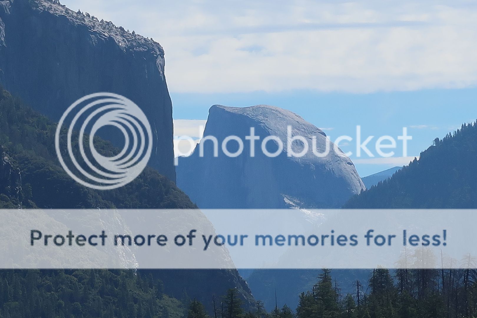
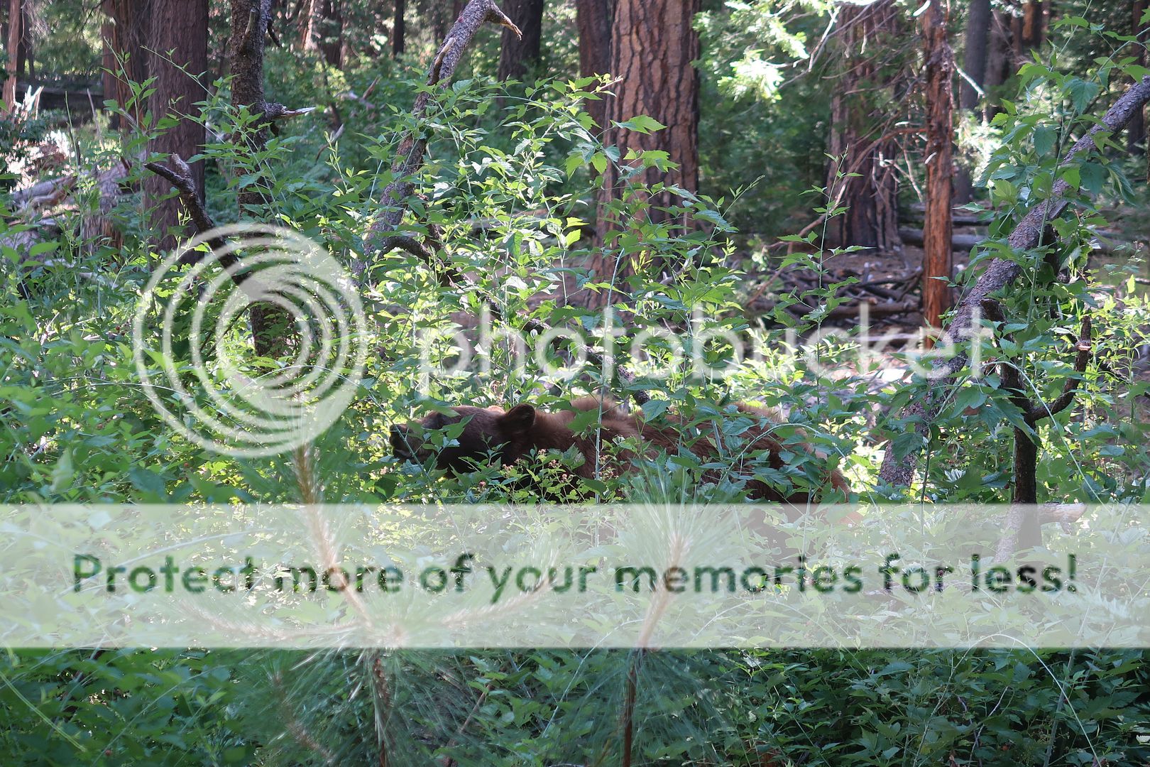
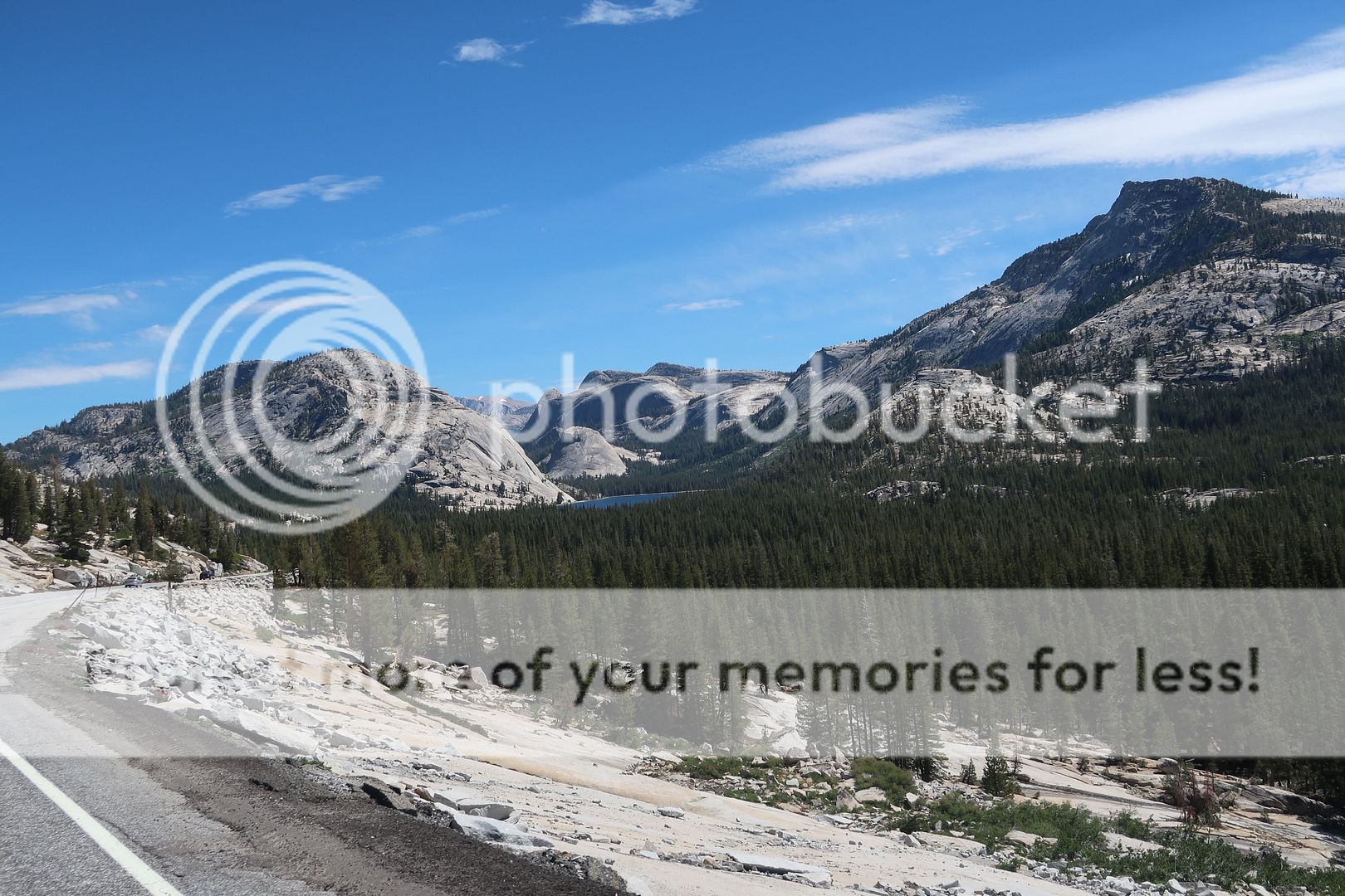
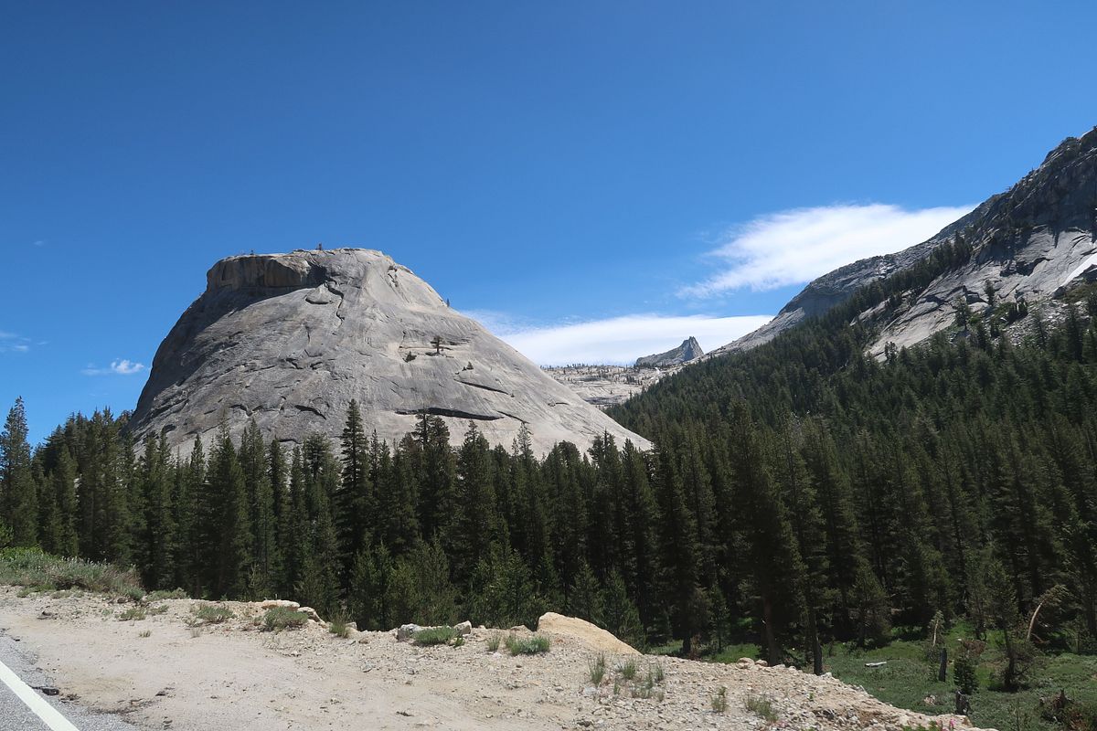
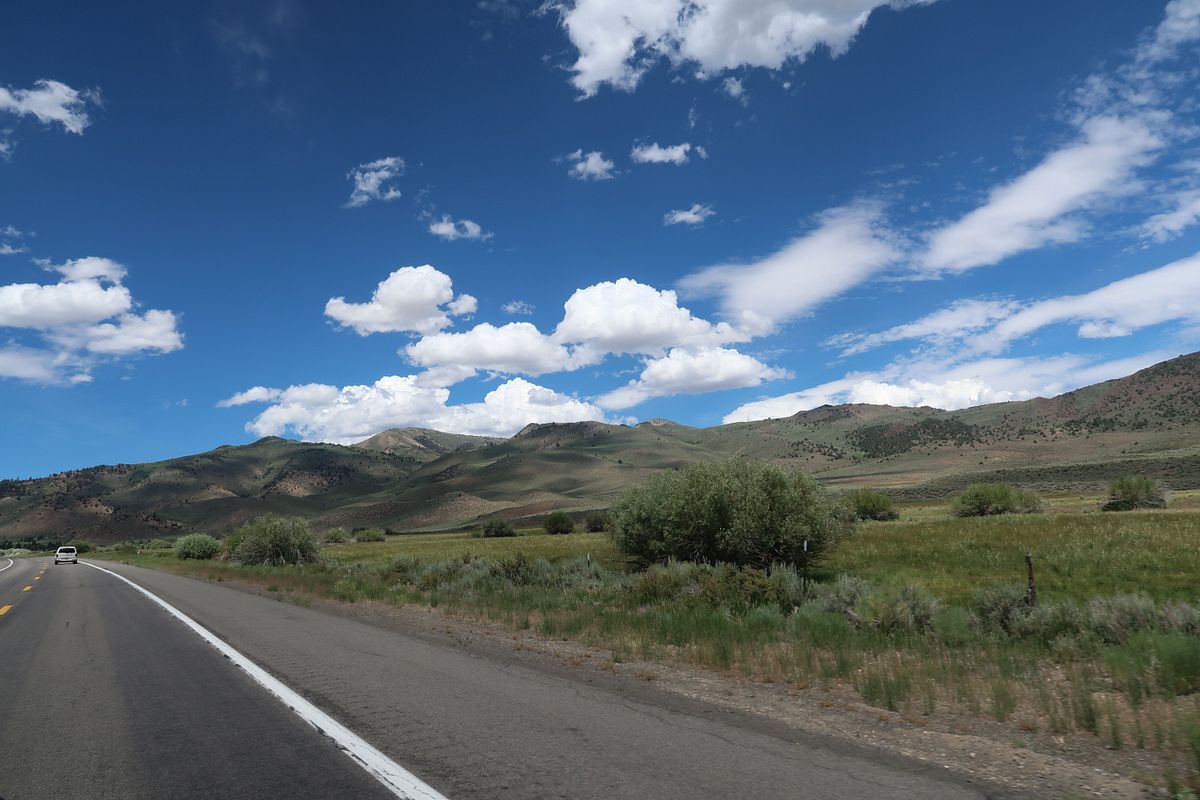
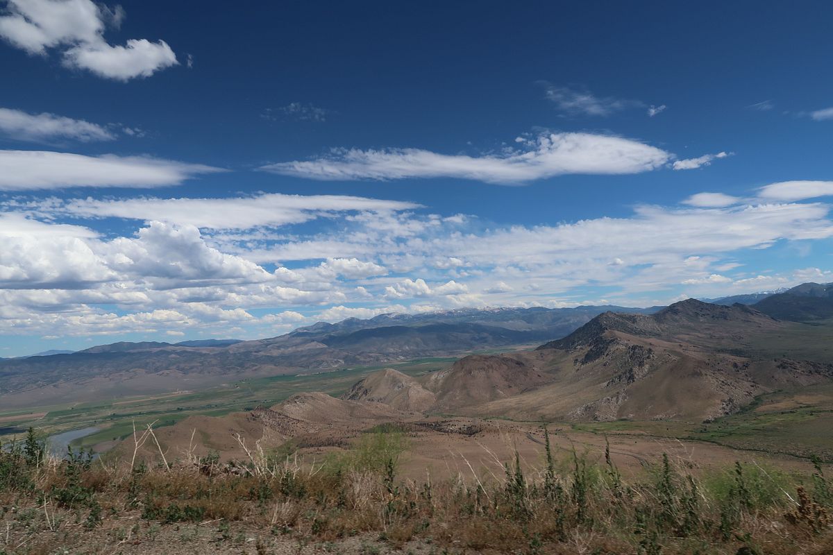
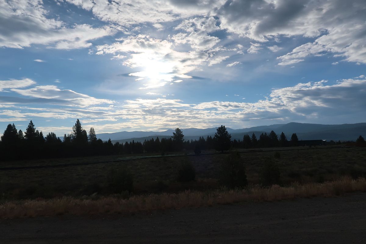
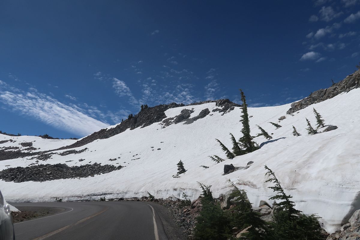
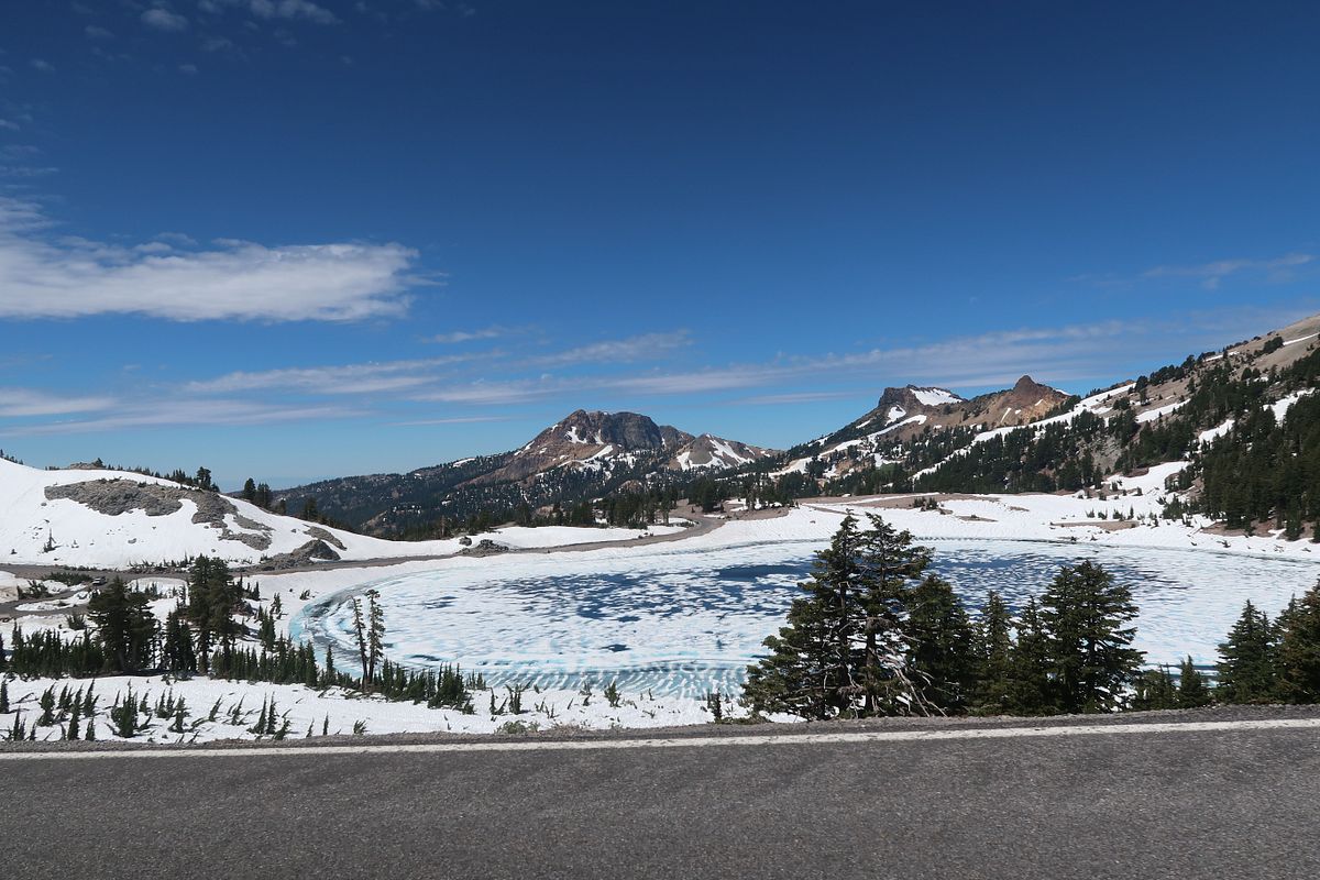
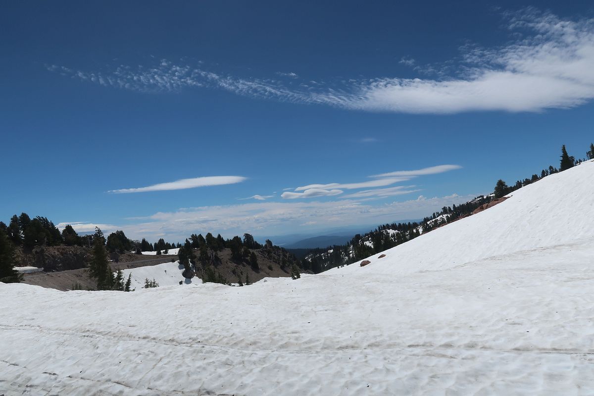
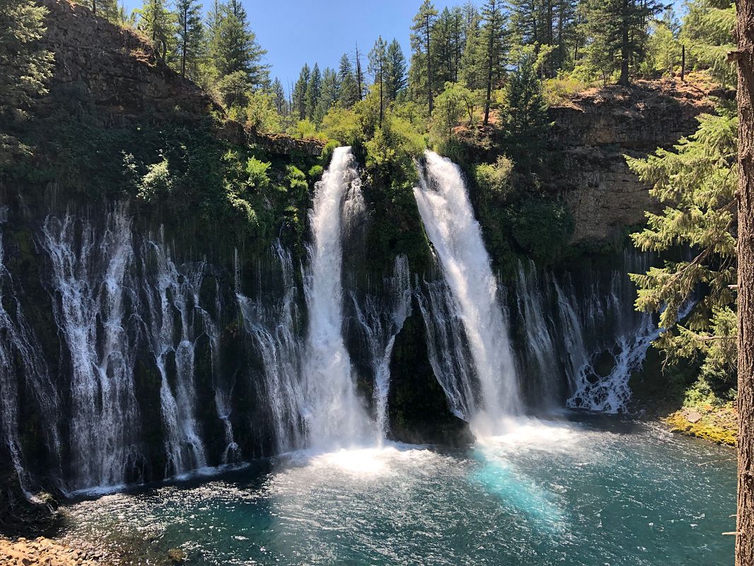
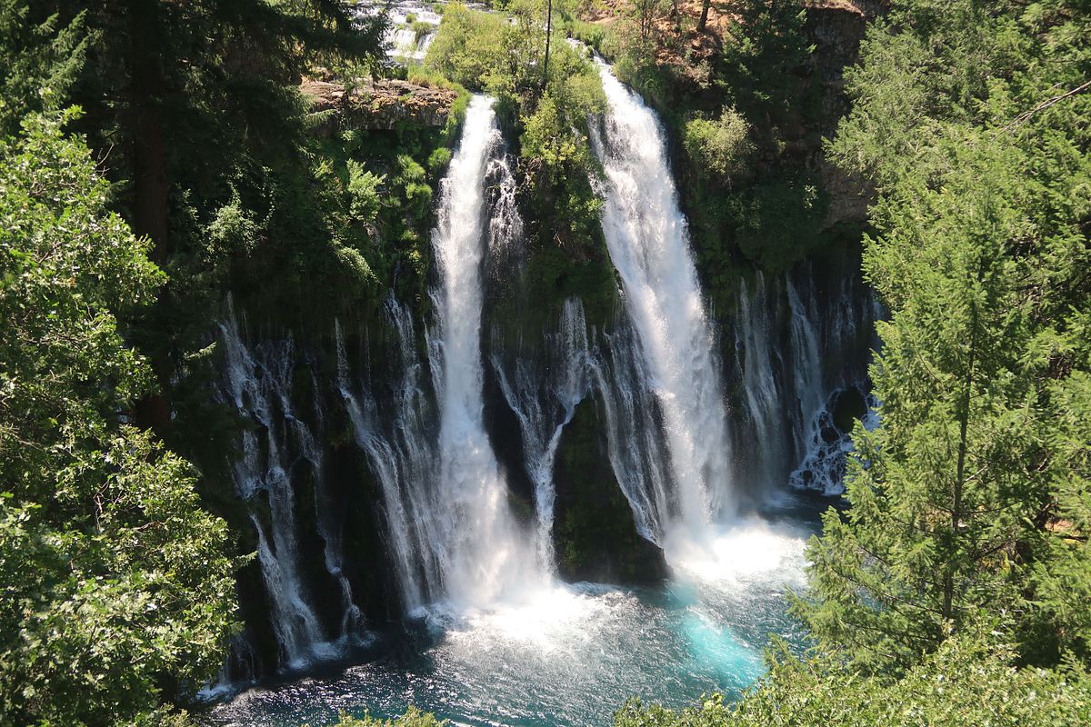
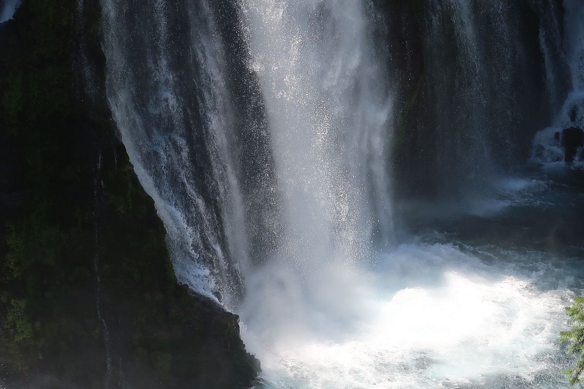
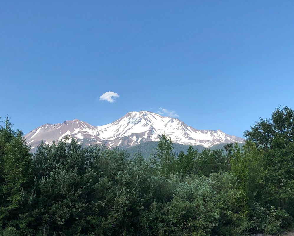
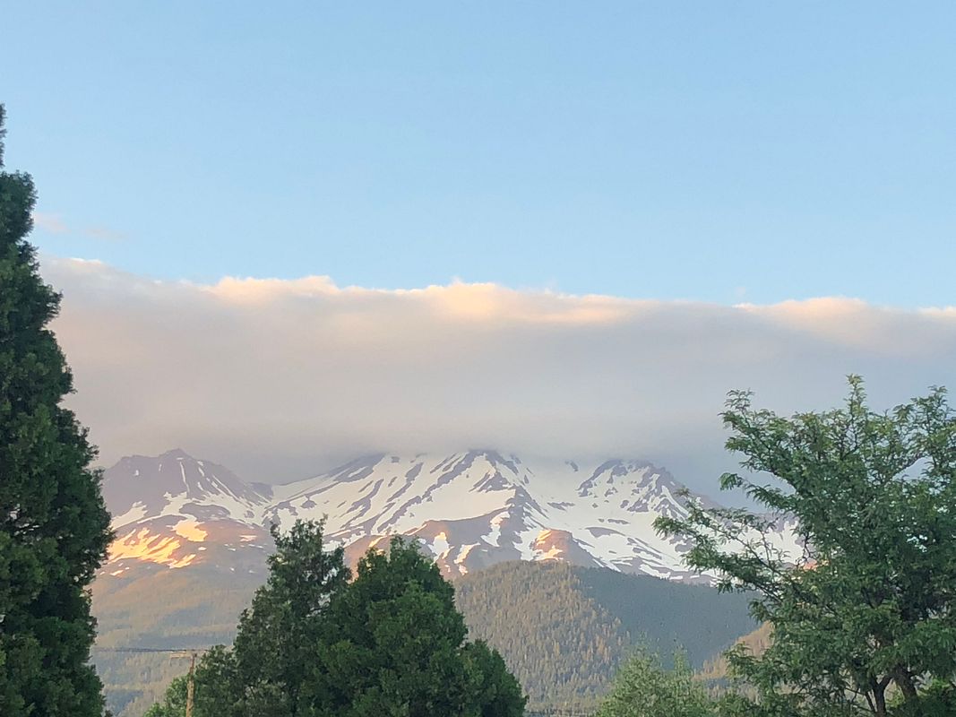
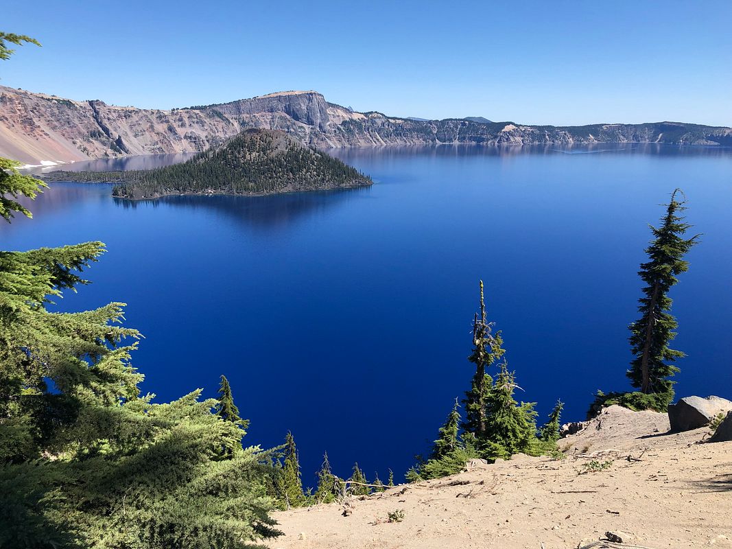
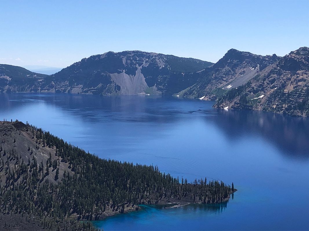
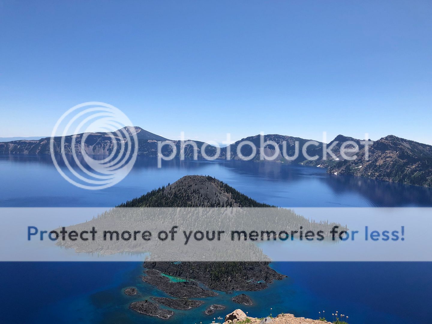
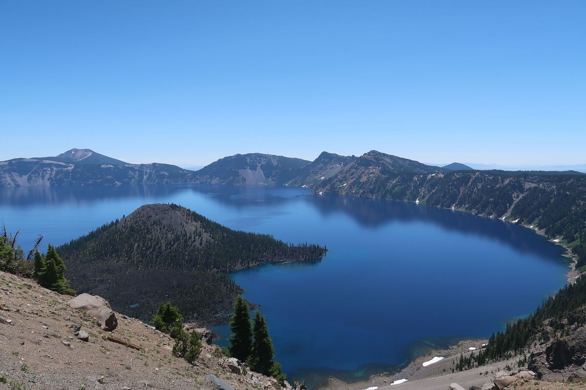
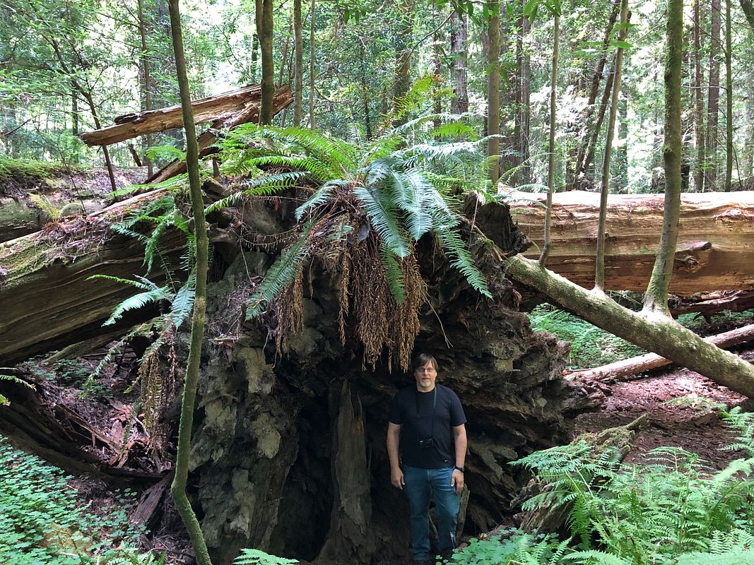
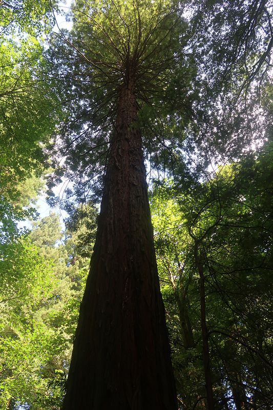
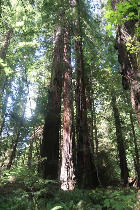
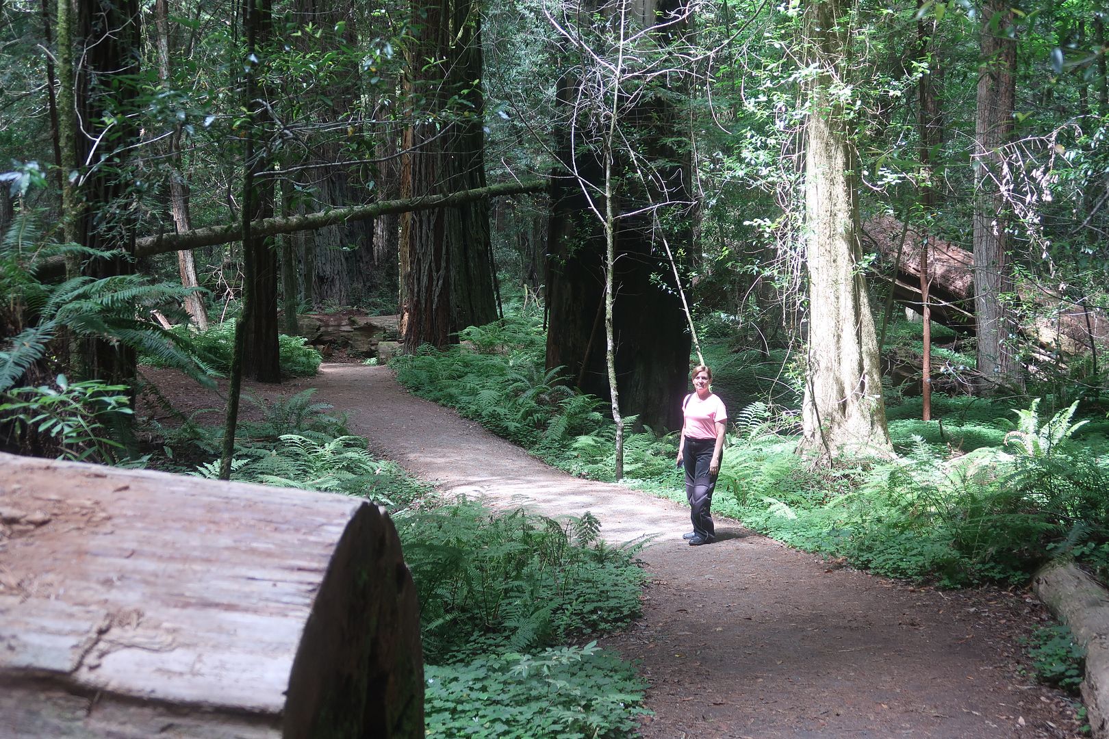
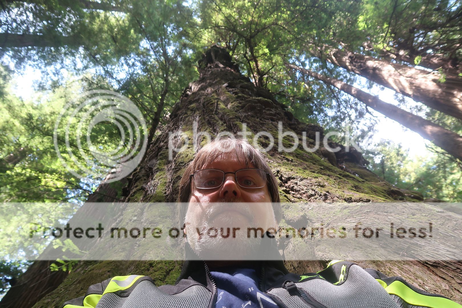
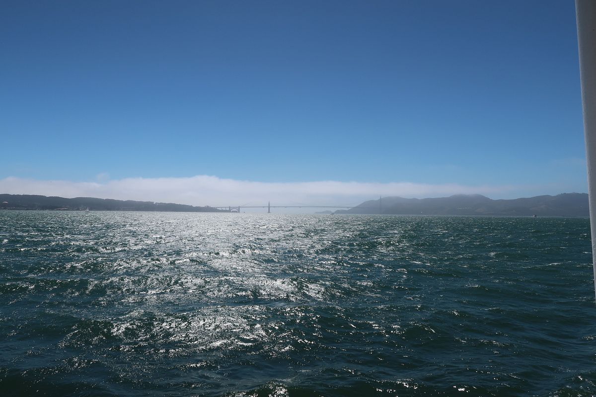
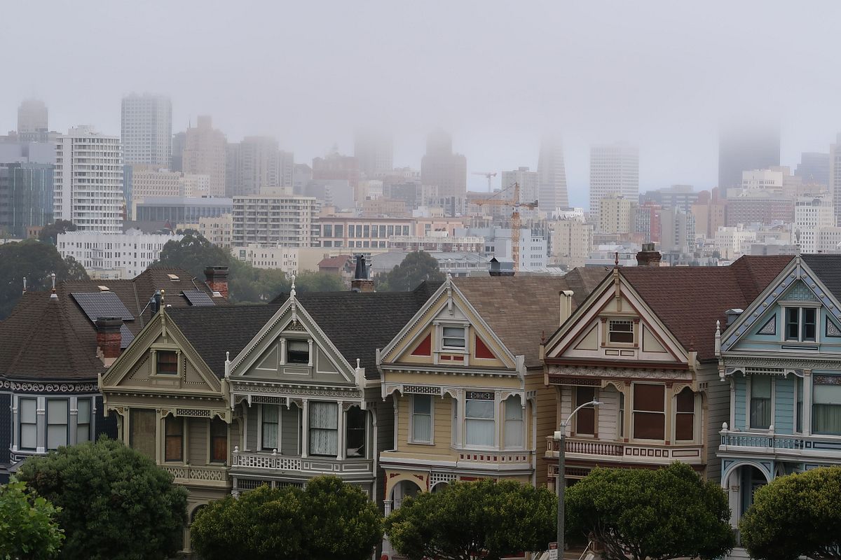
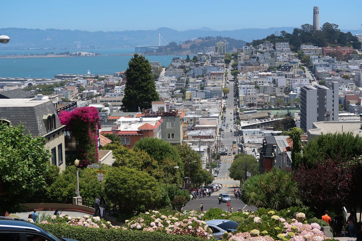
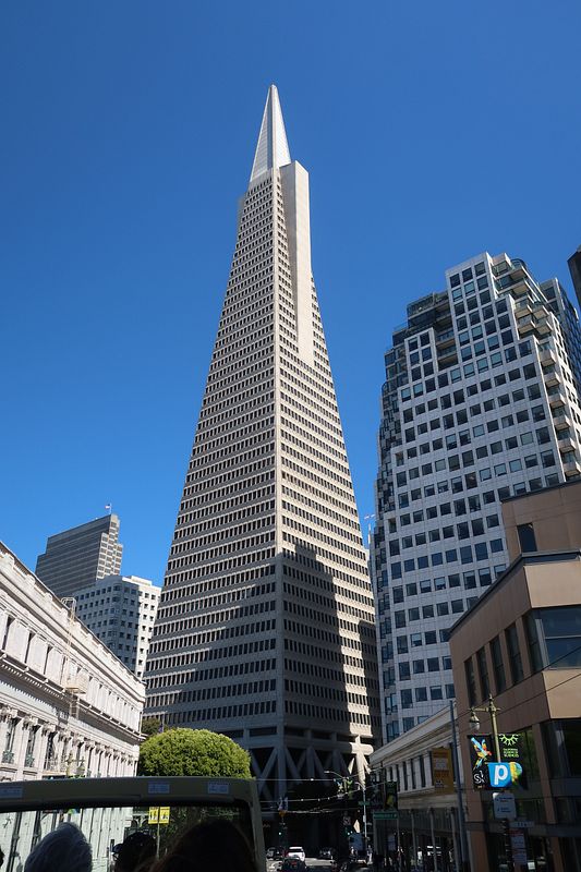
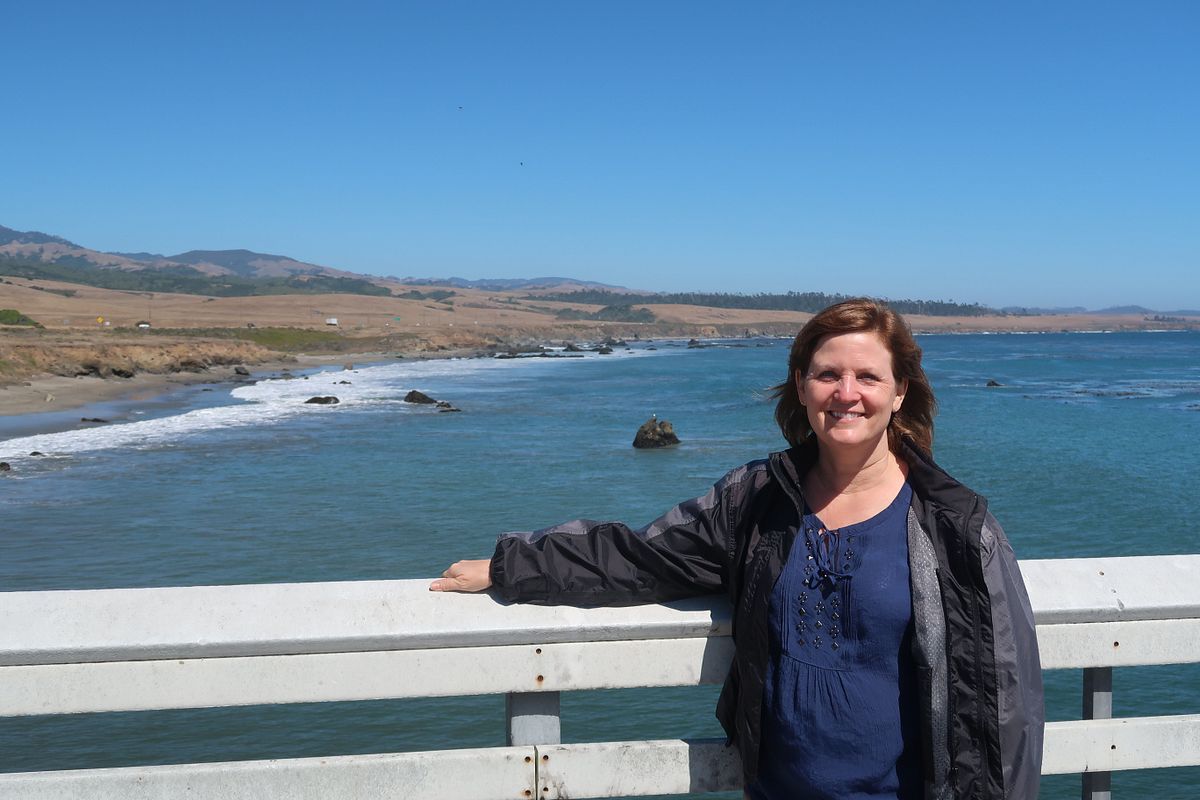
My brother says we saw more of California last week than 95% of Californians. If that's true, it's sad because it is such a beautiful and diverse state.

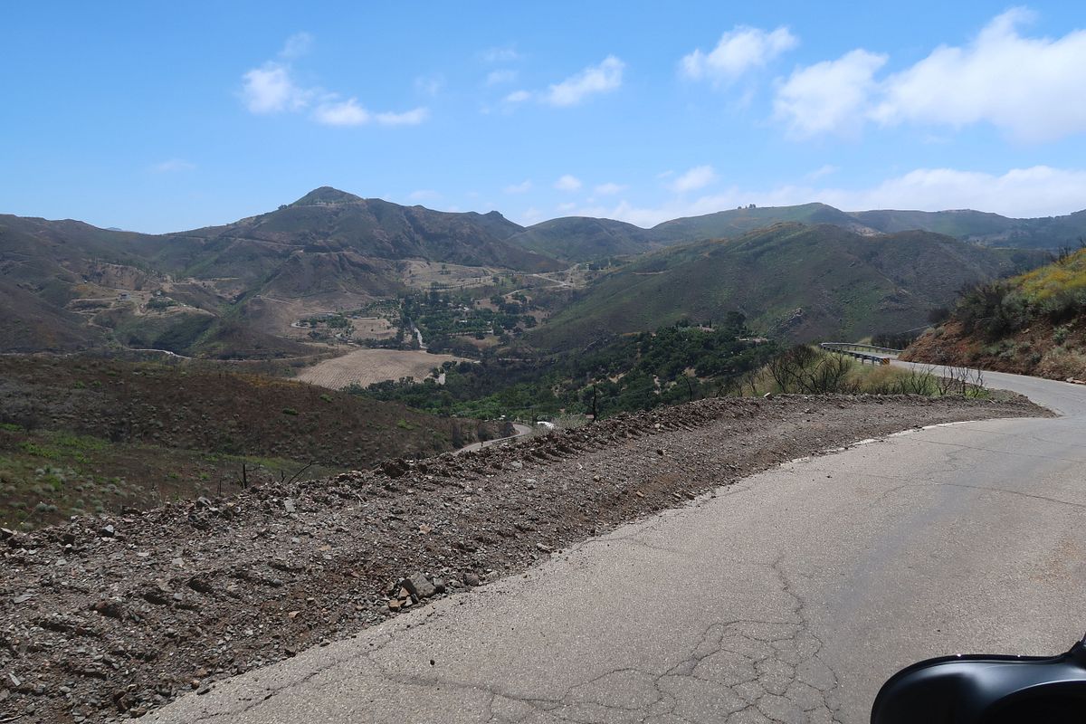
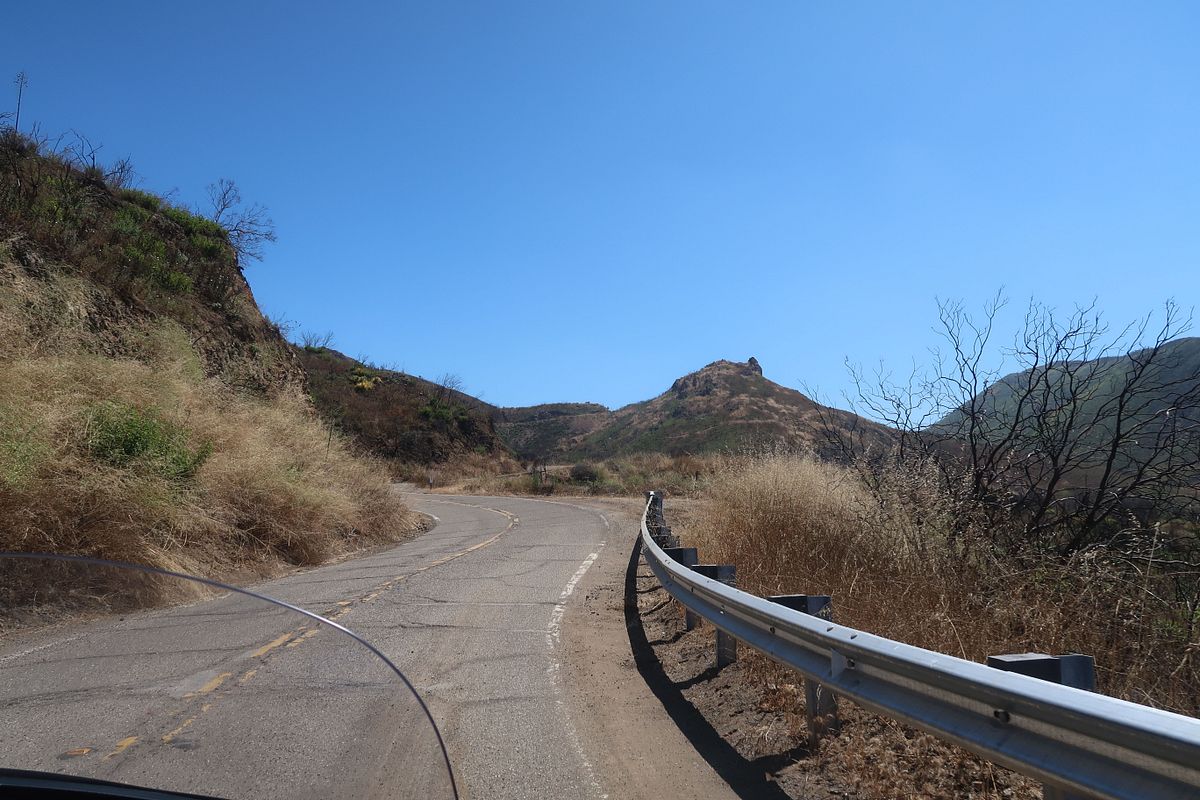
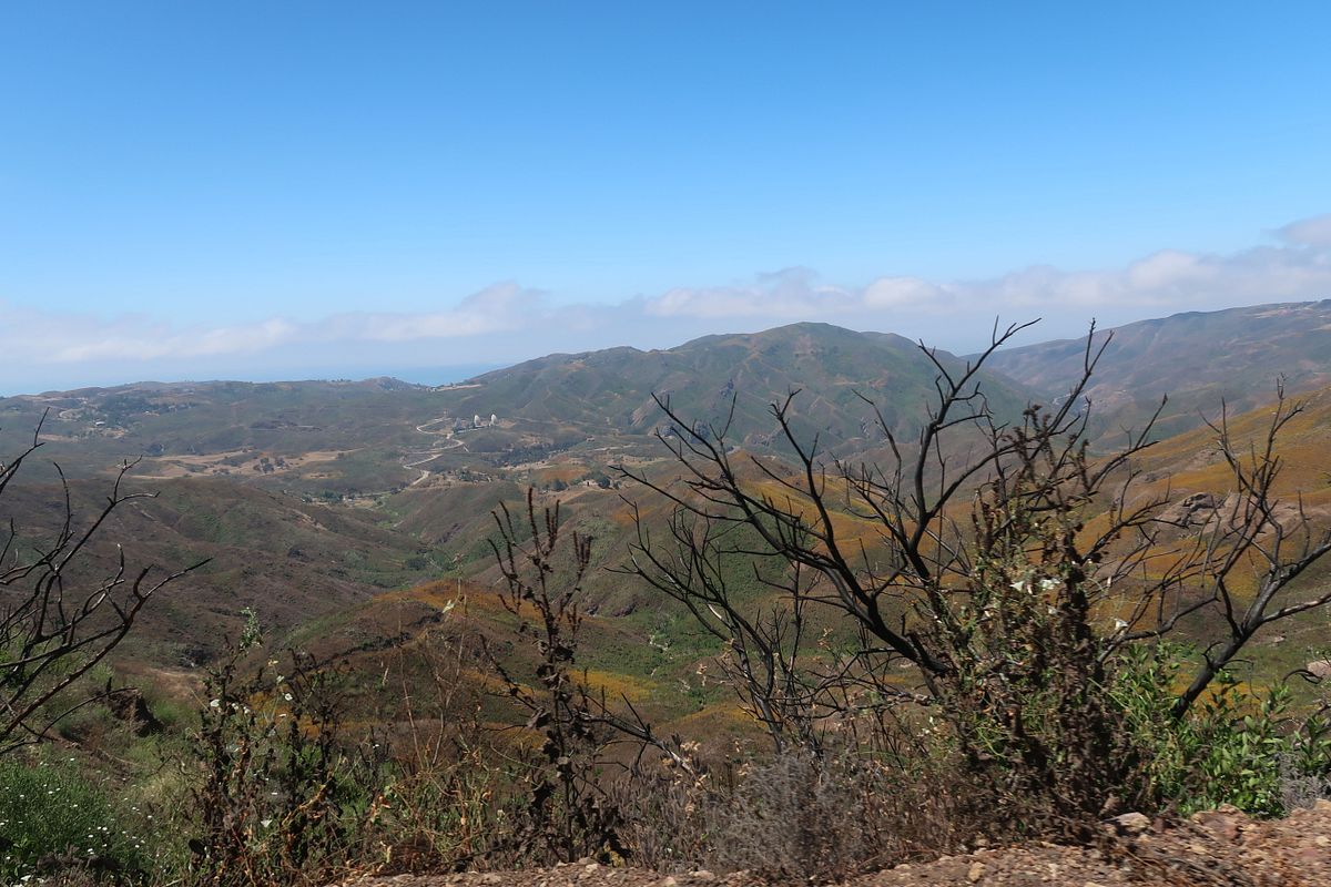
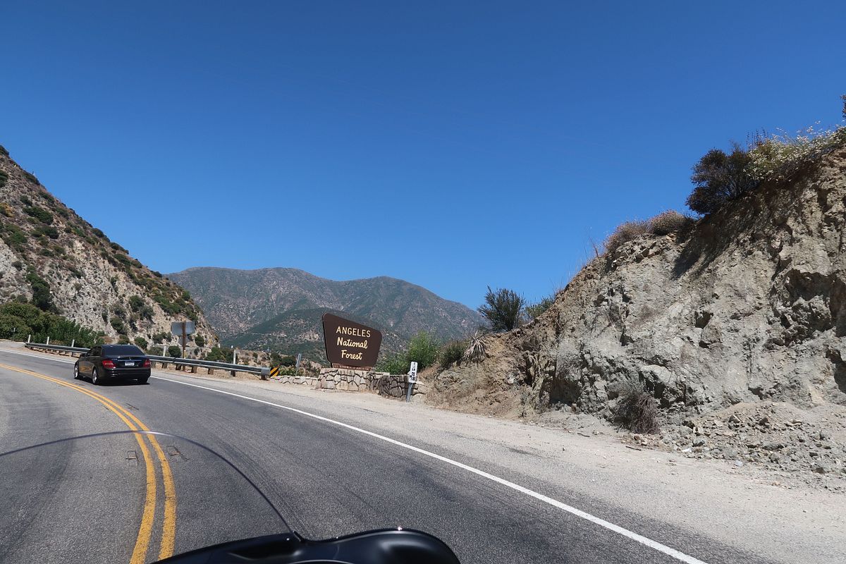
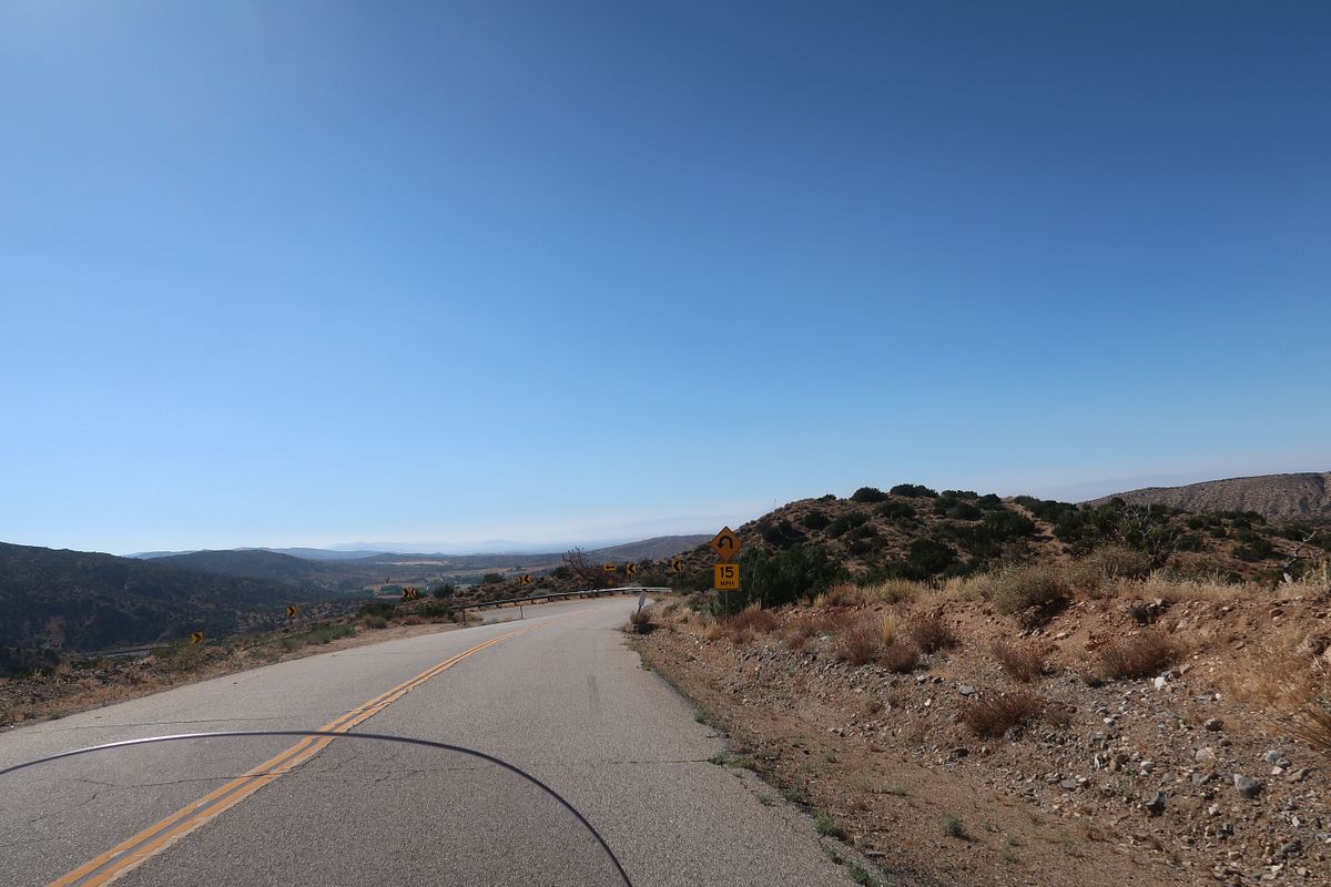
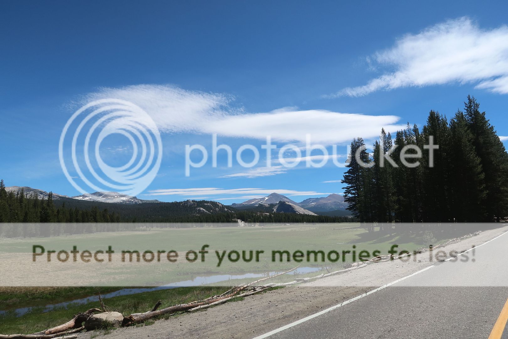
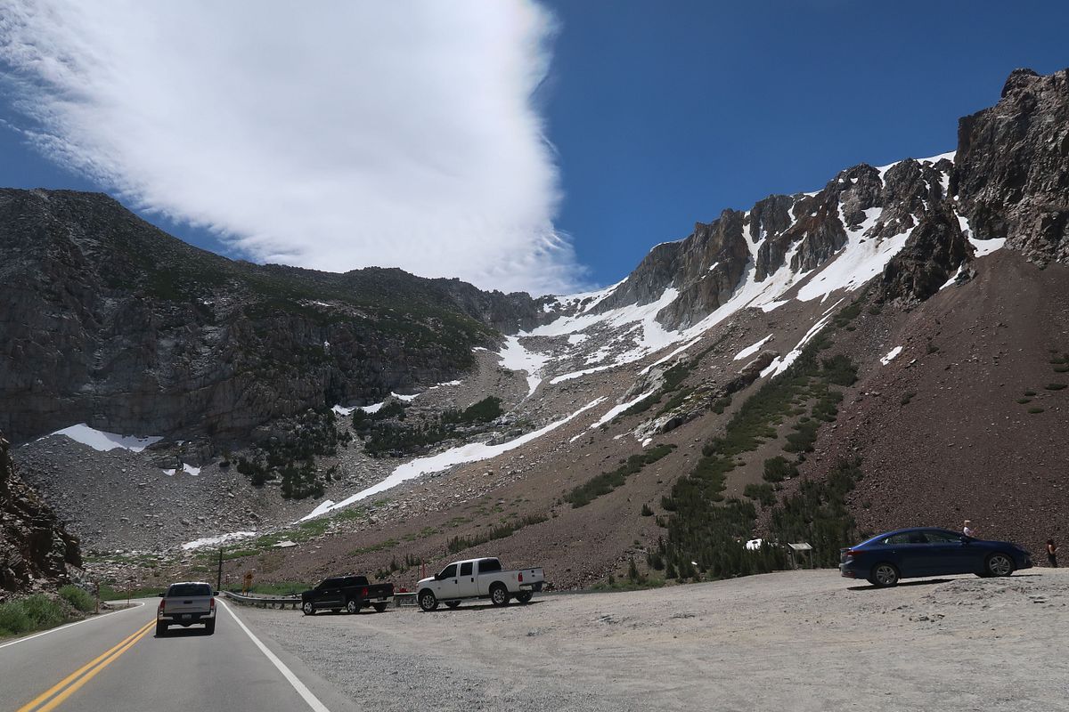
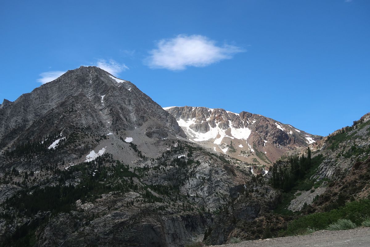
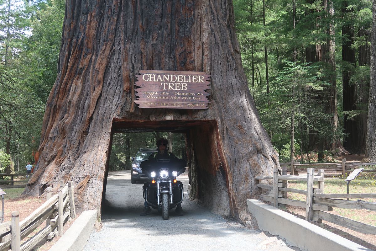
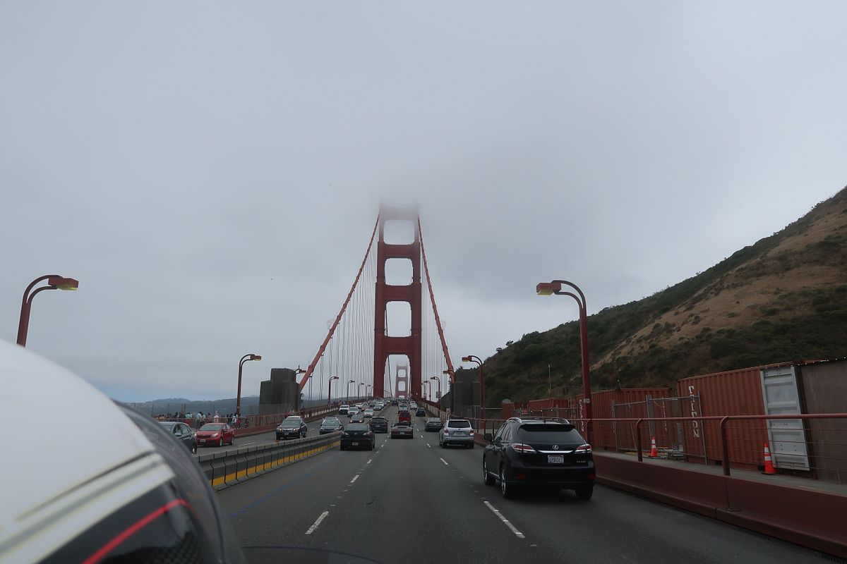
Over the last 6 years my wife and I have tried for a 5,000 mile 2 week trip each year. We missed one year due to work, and this year we had an opportunity to get together with my brother and 2 sisters in California so it looked like the long trip was not going to happen. I was trying to find ways to get one of my bikes out to California and ride it some, but it was going to be a pain. My brother has an older Valkyrie which I could ride some out there, but Tammy was not likely going to be able to put long miles on it with me, and that would take away from family time. We ended up renting a Harley Electra Glide Ultra for the week after our family visit and rode a loop down from San Francisco to LA, back up and across the sierras a couple times, then up into Oregon and back down the coast ending the loop in SF.

It was my first time on a Harley and I won't turn this into a long review, but it handled better than expected and we had a lot of fun. By the end I was not treating the twisties any differently than I do on the FJR or the Wing. I only noticed that I was on a different bike when passing. It reminded me a lot of my old VTX with the feeling of more torque but still sat a couple notches below the Wing on passing power and lots of notches below the FJR.

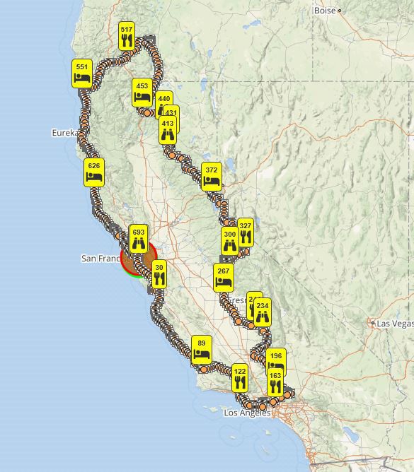
The actual motorcycle trip was July 19-27 and was 2354 miles. Here's the route:

California2019%20SPOT_zpscafdsy8g.jpg


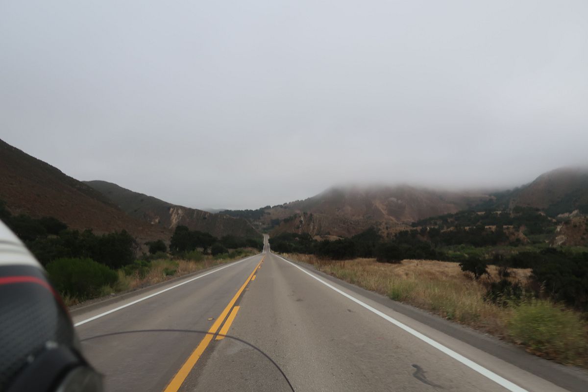
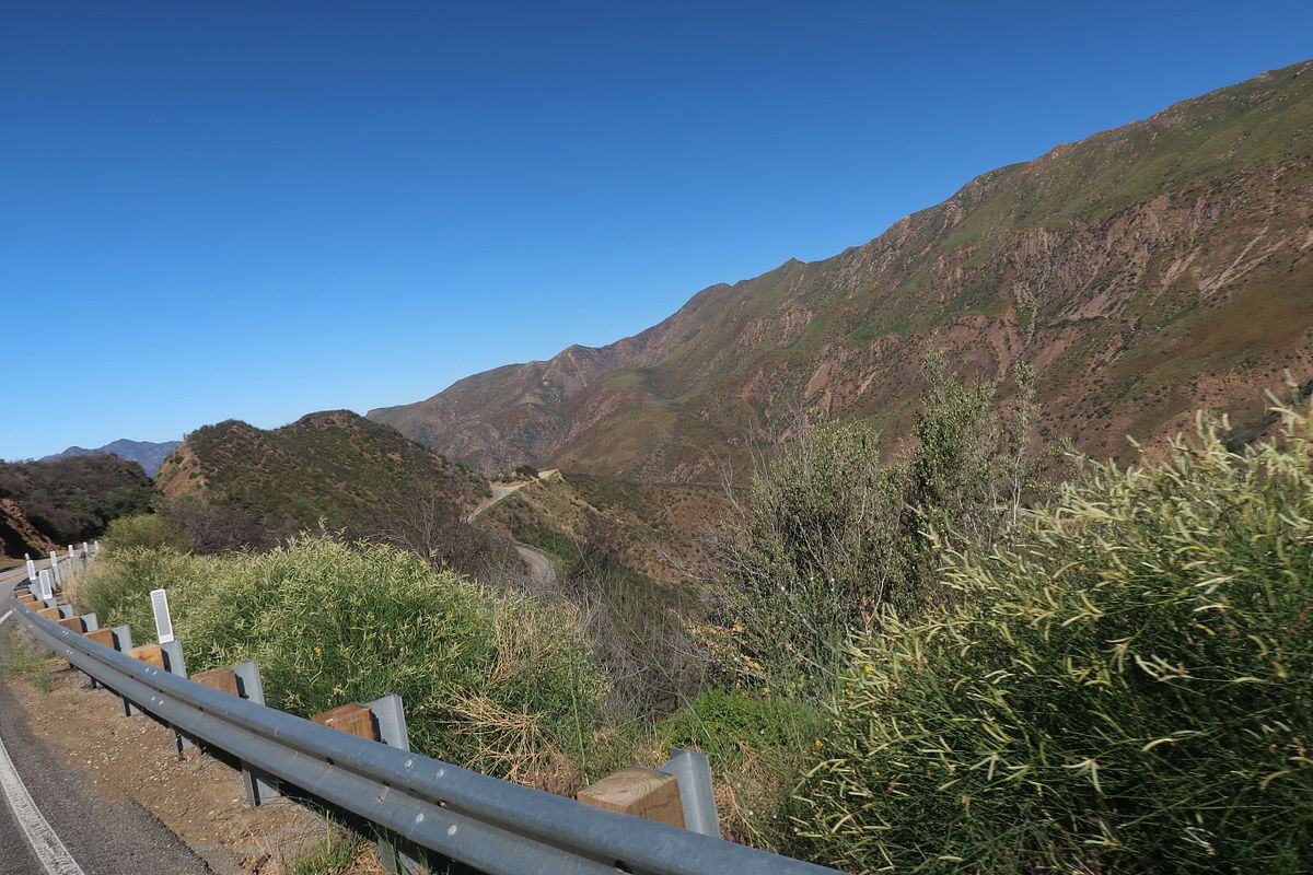
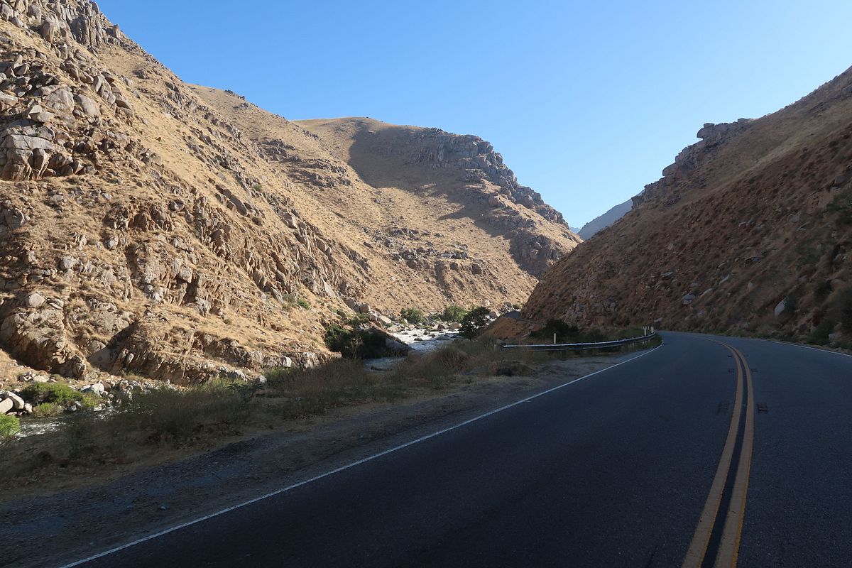
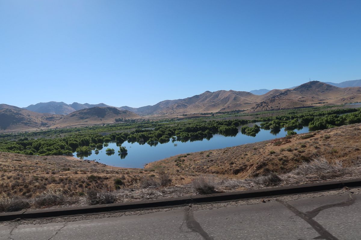
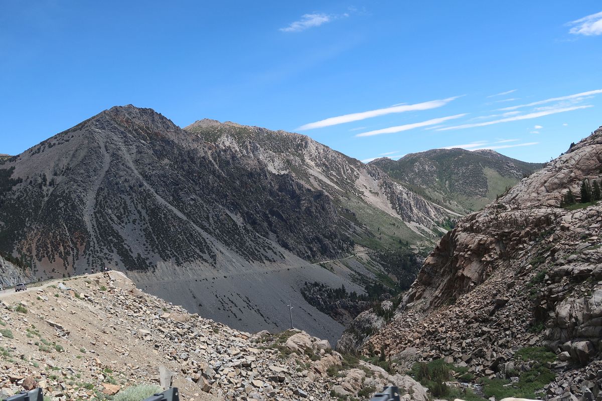
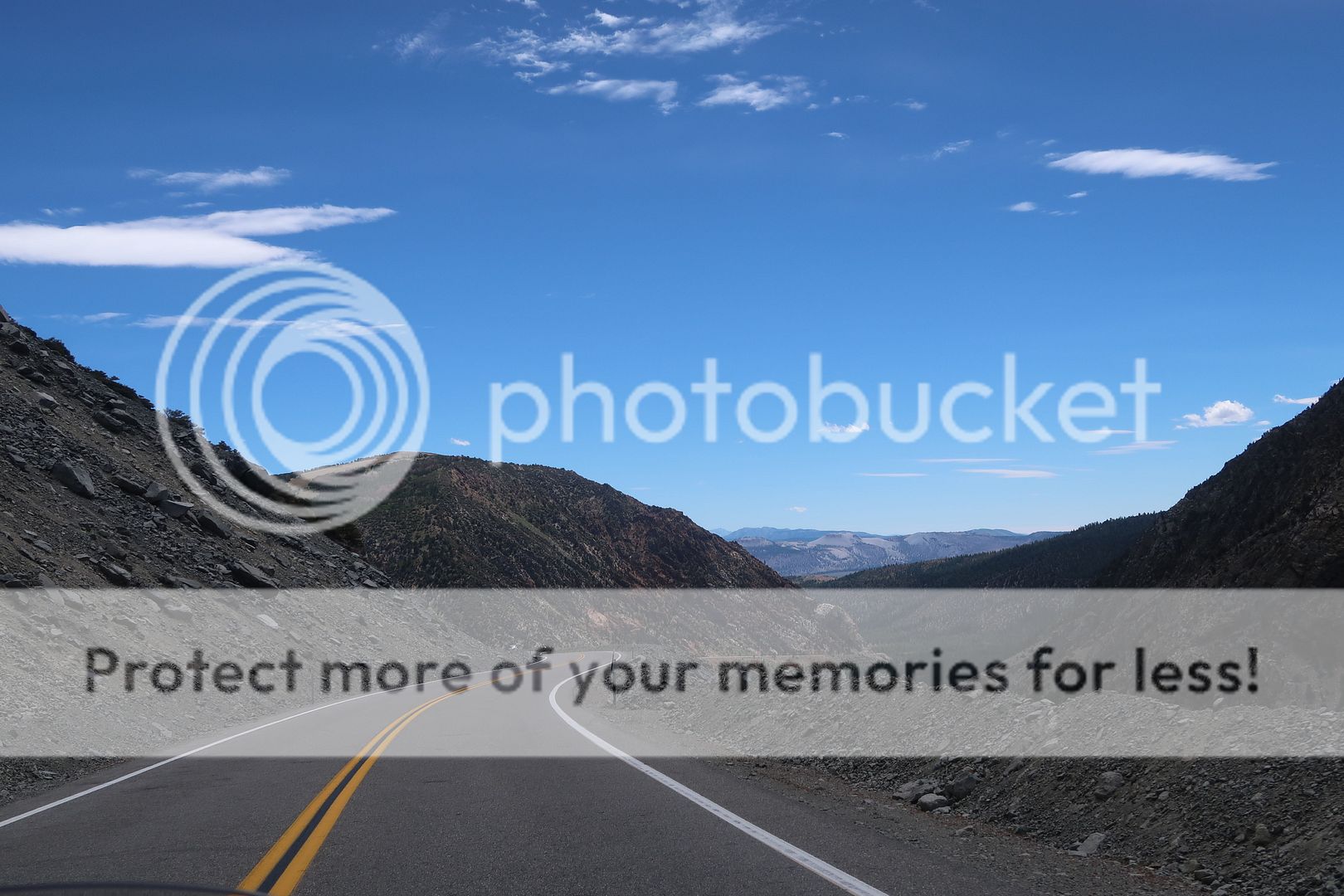
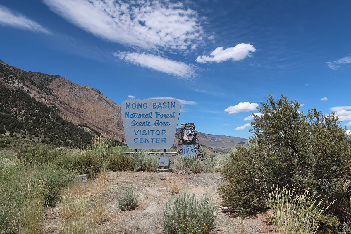
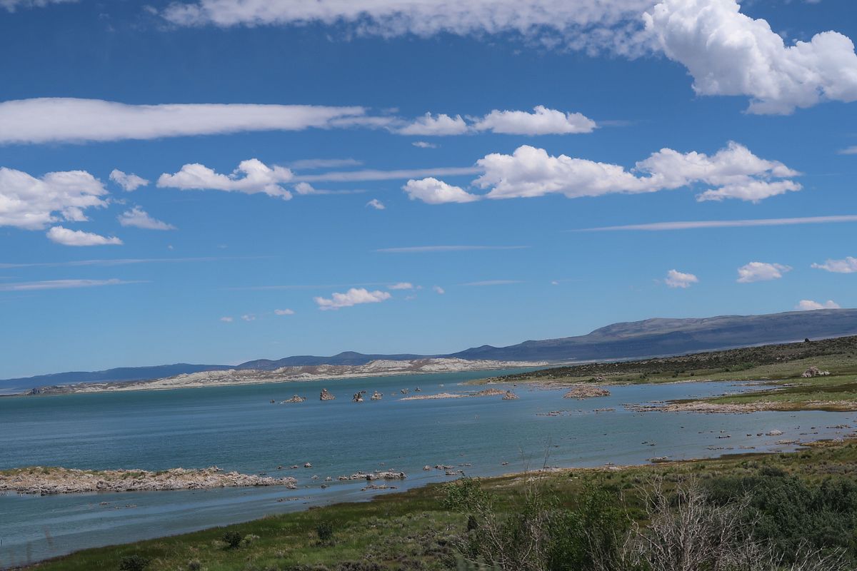
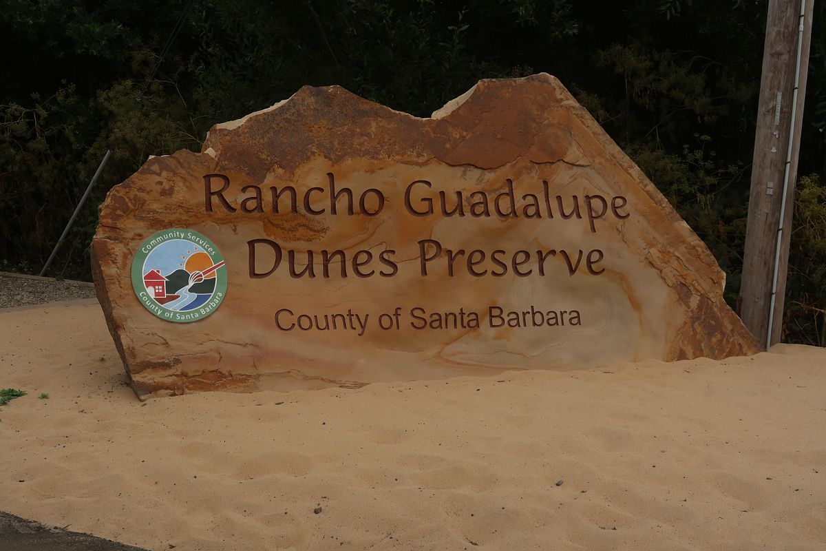
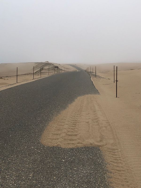
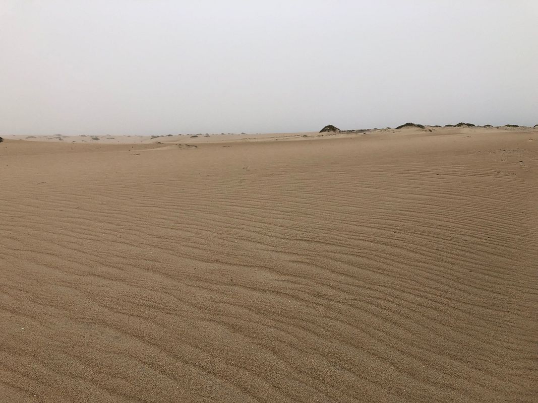
Day 1 - Friday - SF to Nipomo (288 miles)

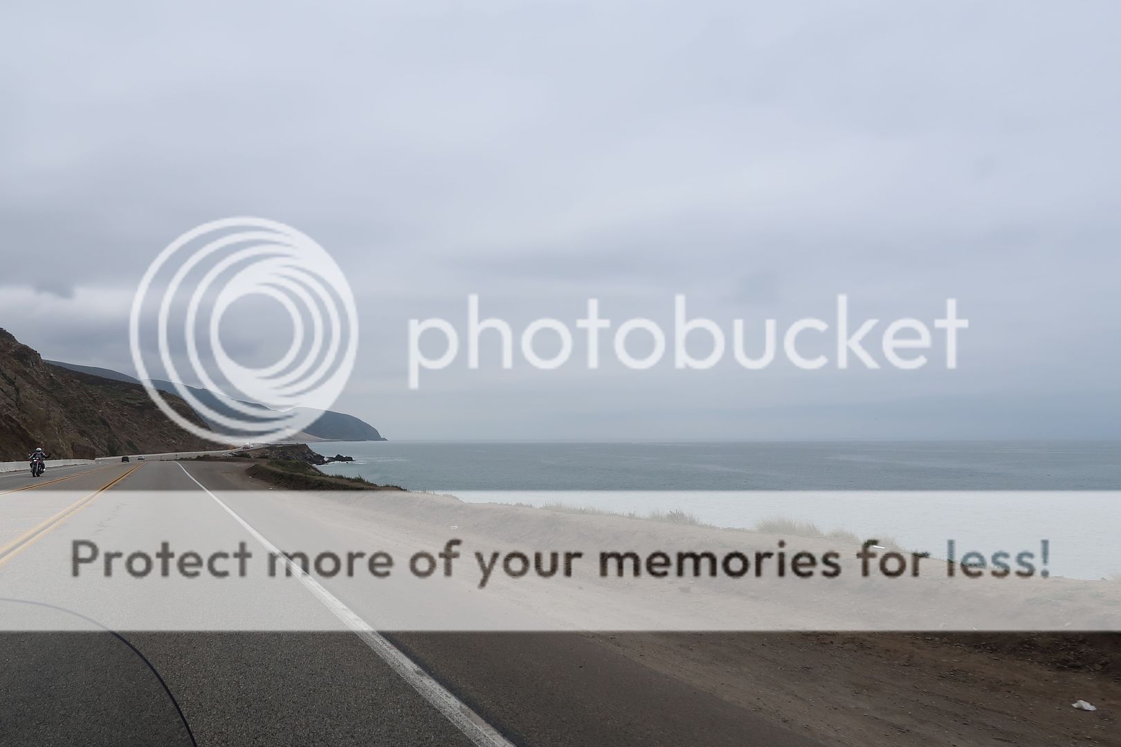
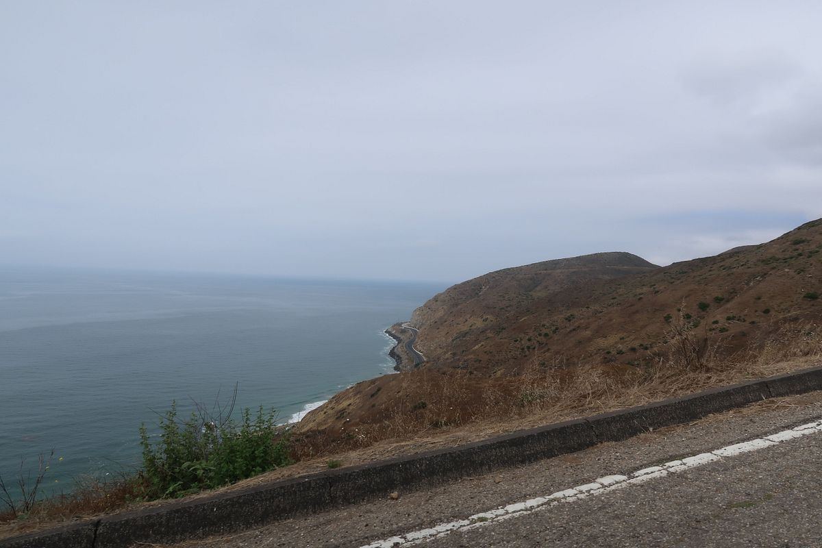
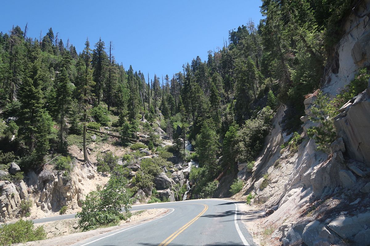
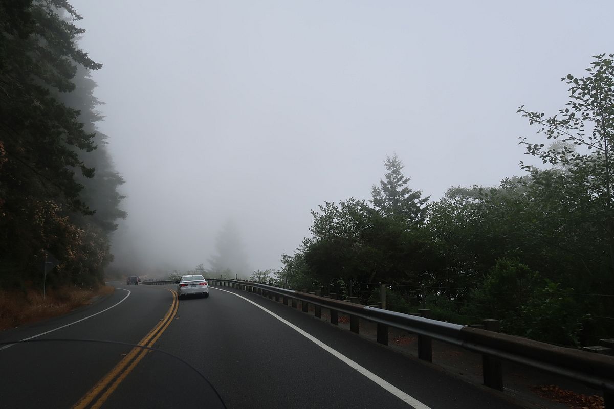
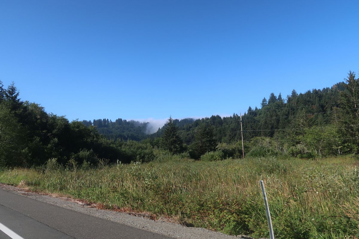
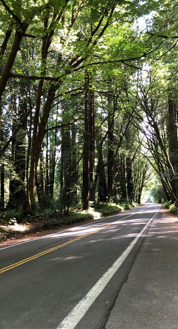
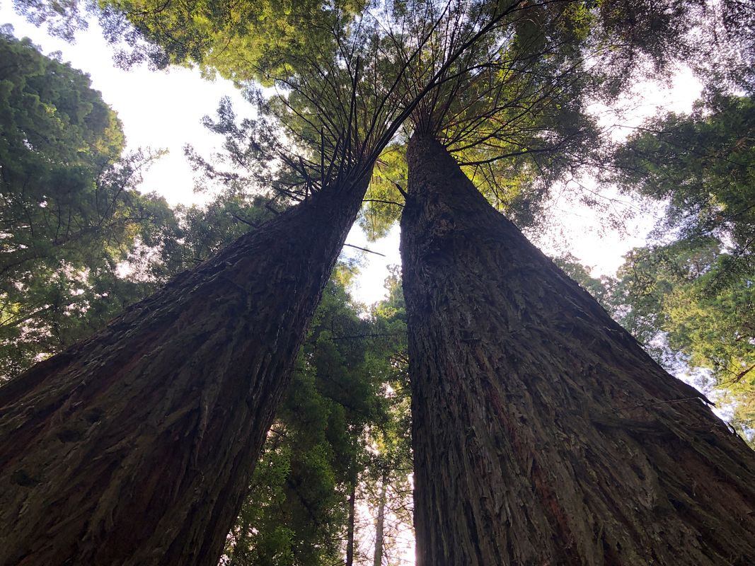
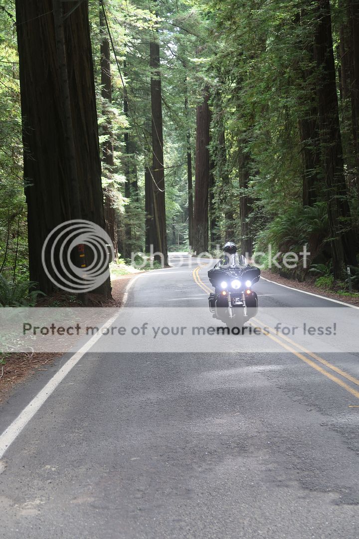
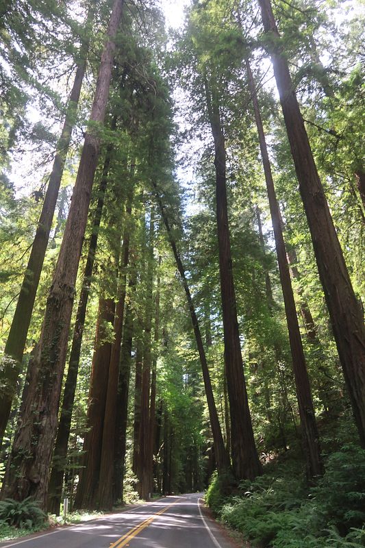
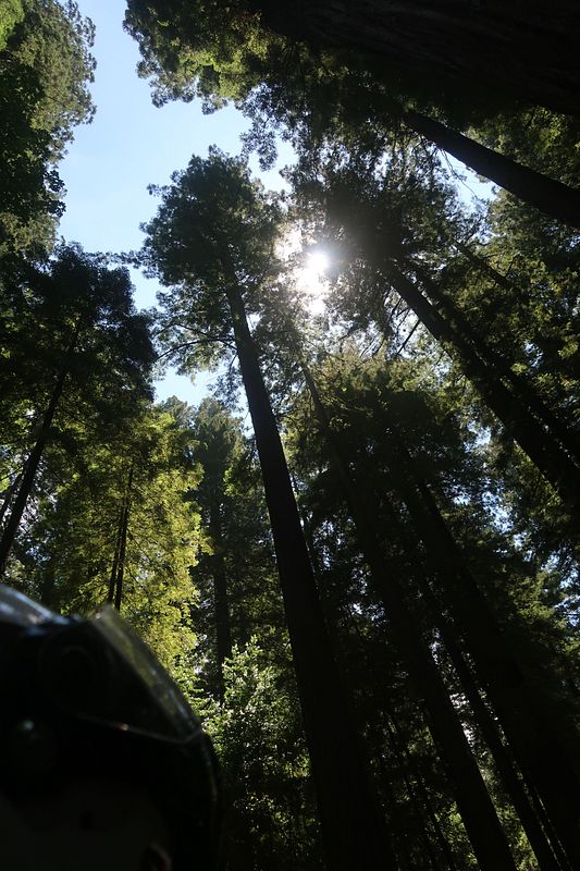
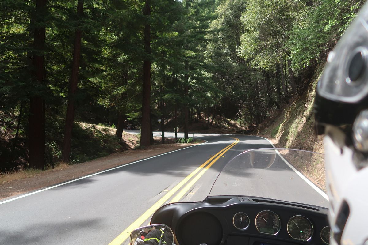
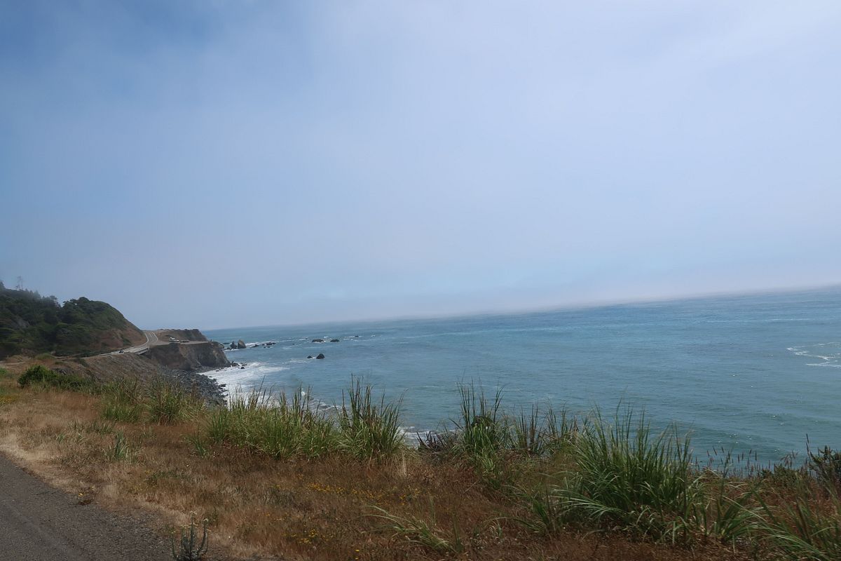
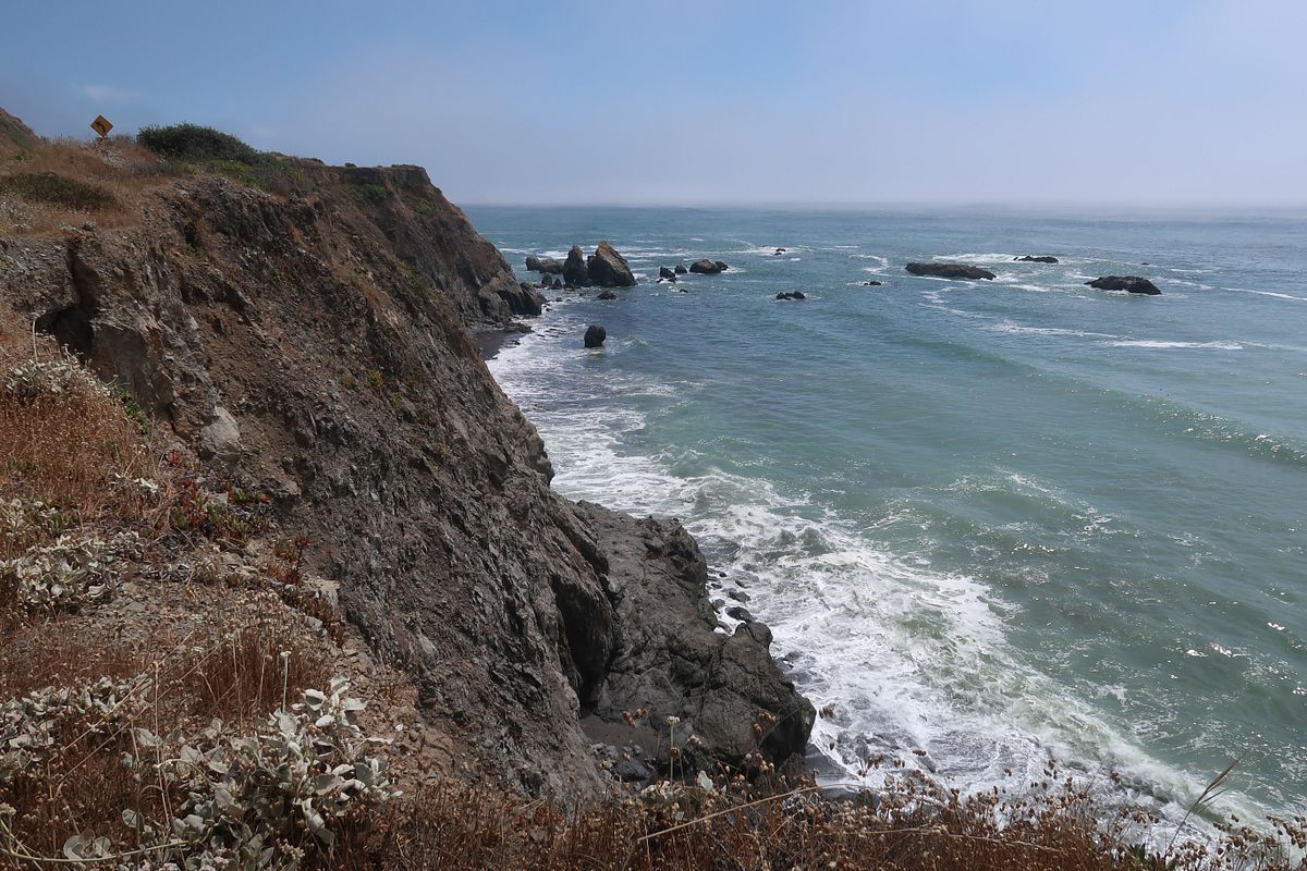
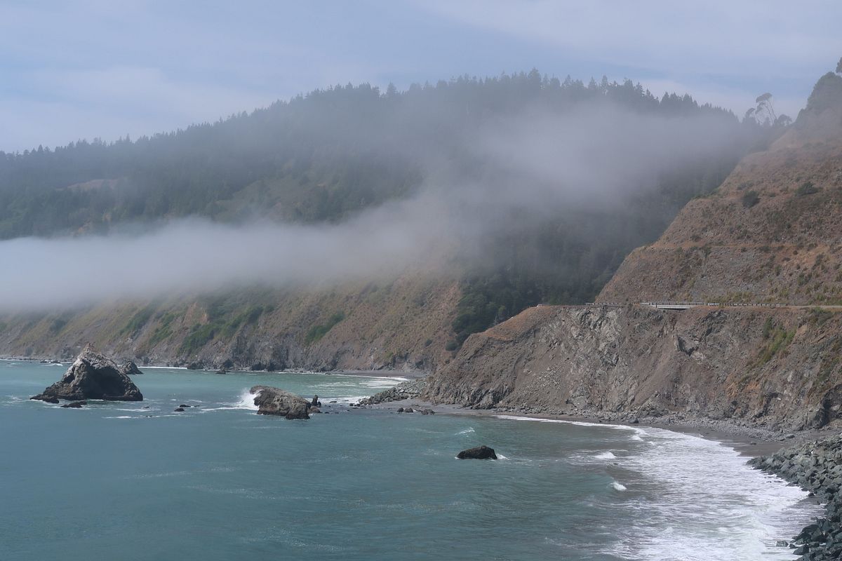
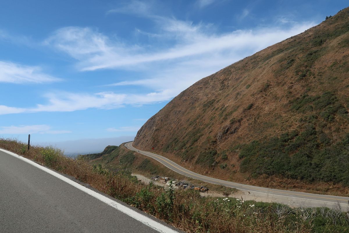
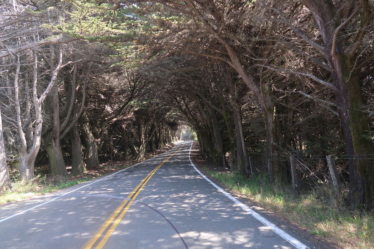
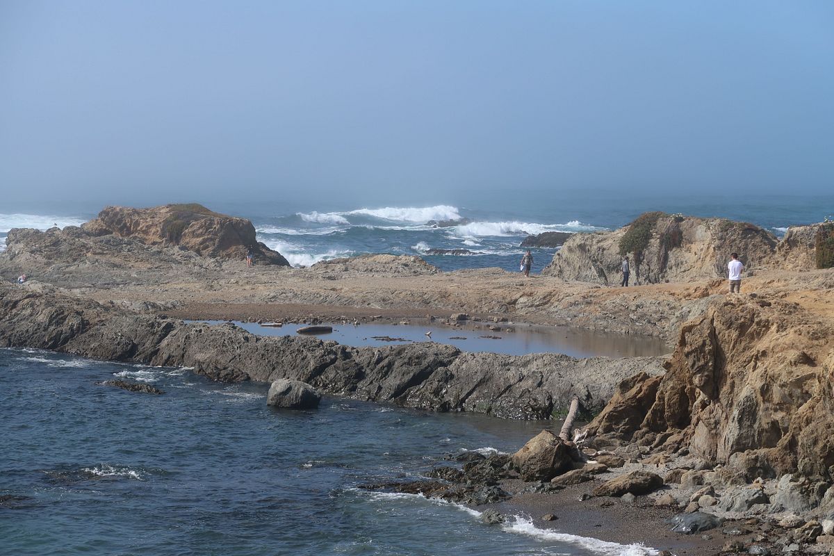
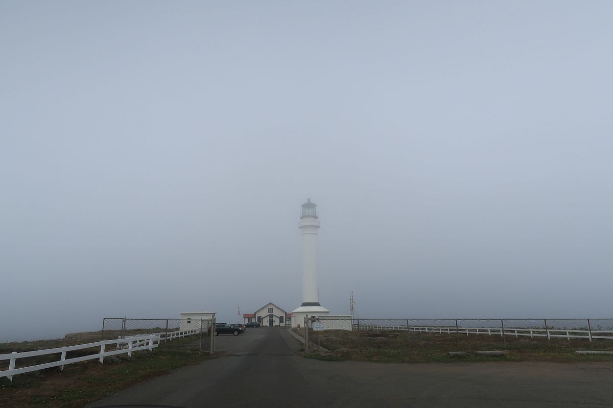
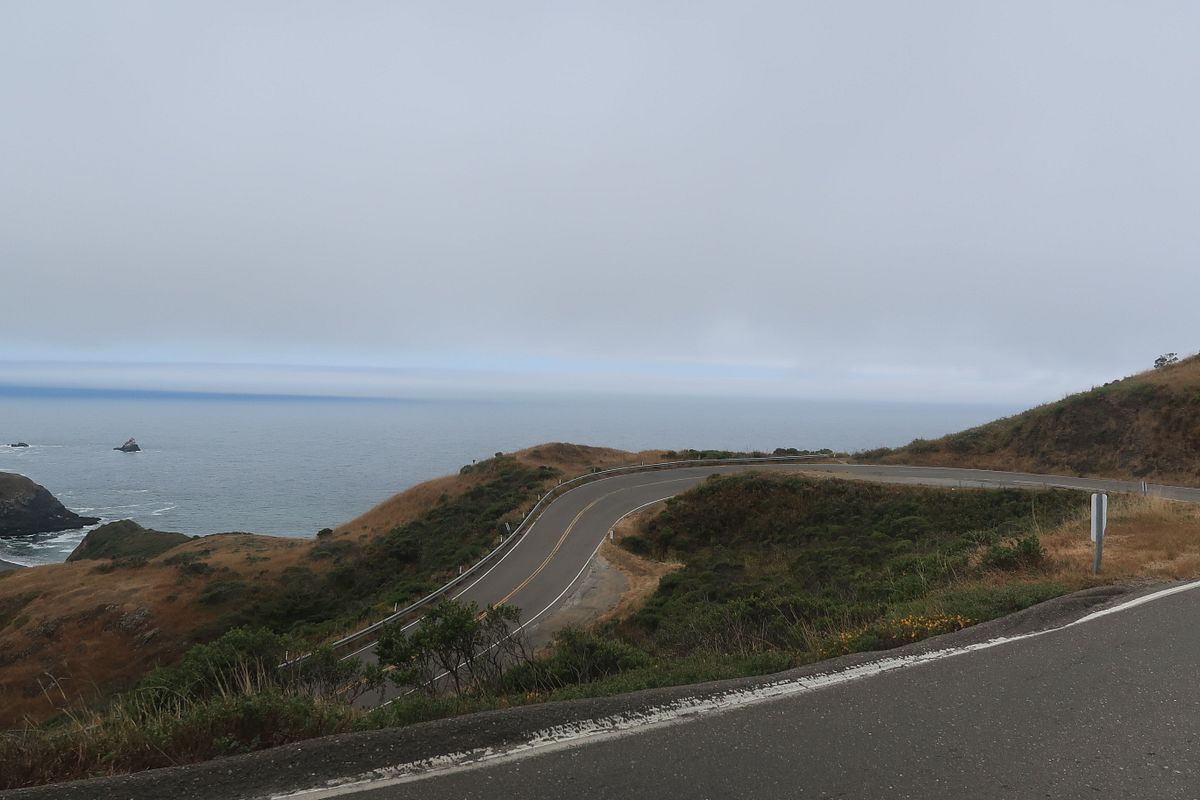
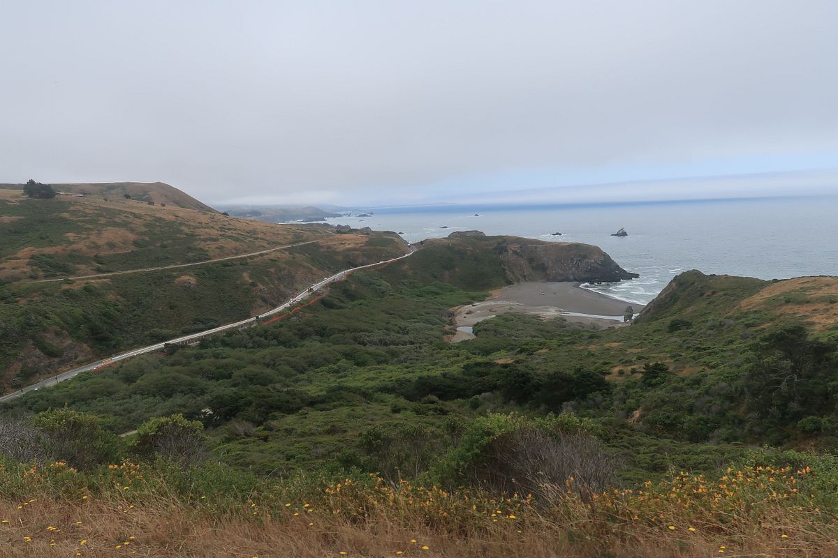
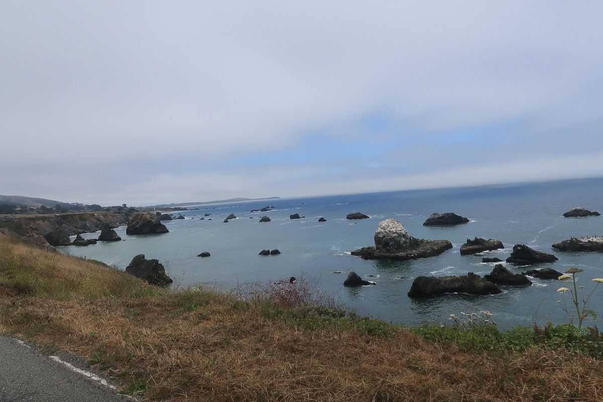
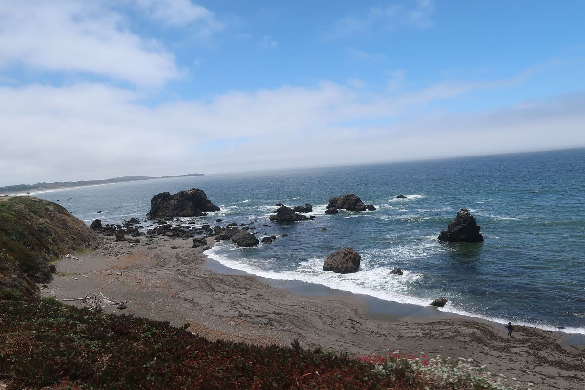
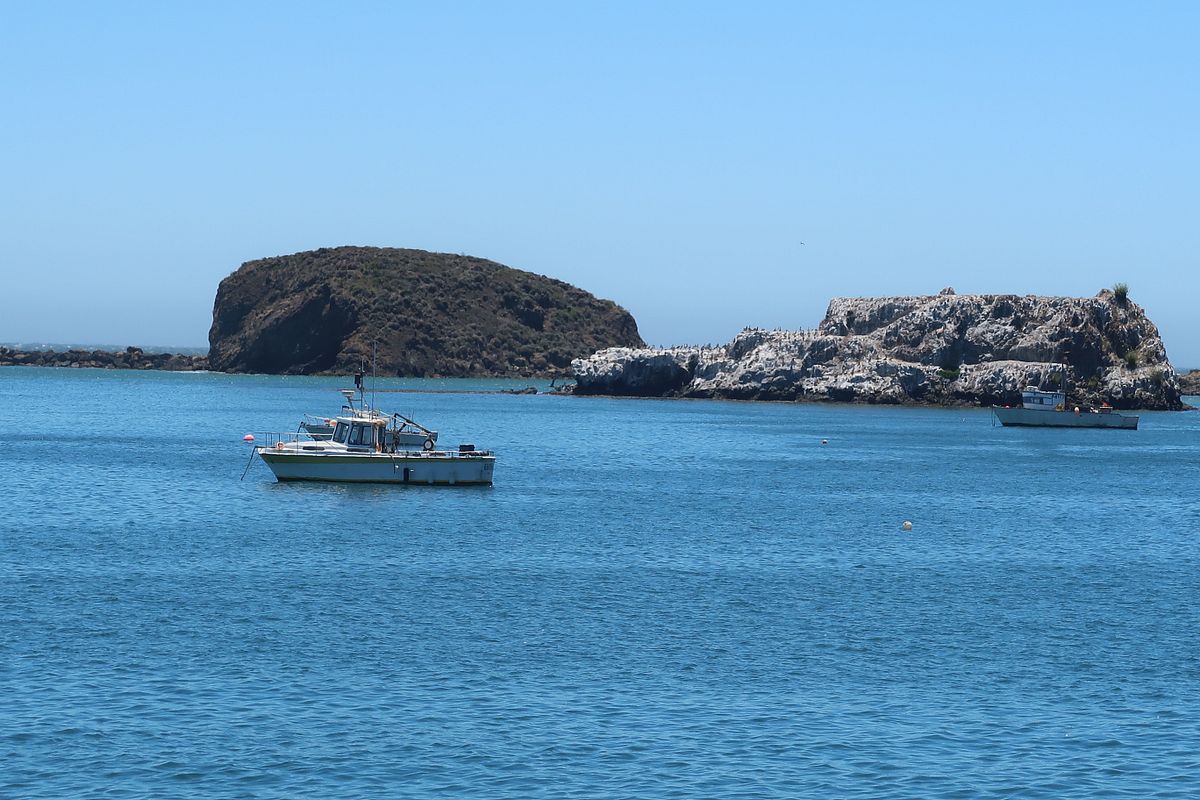
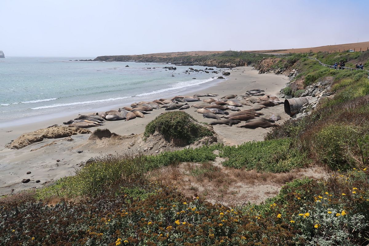
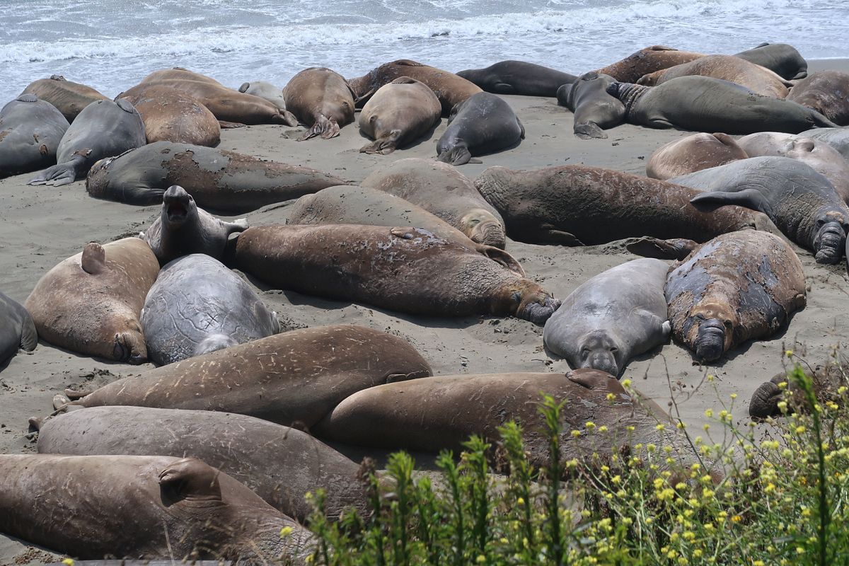
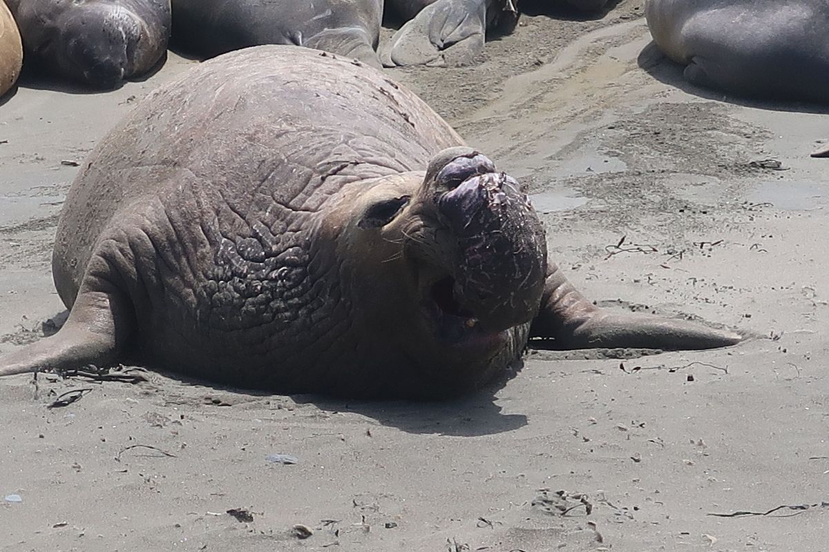
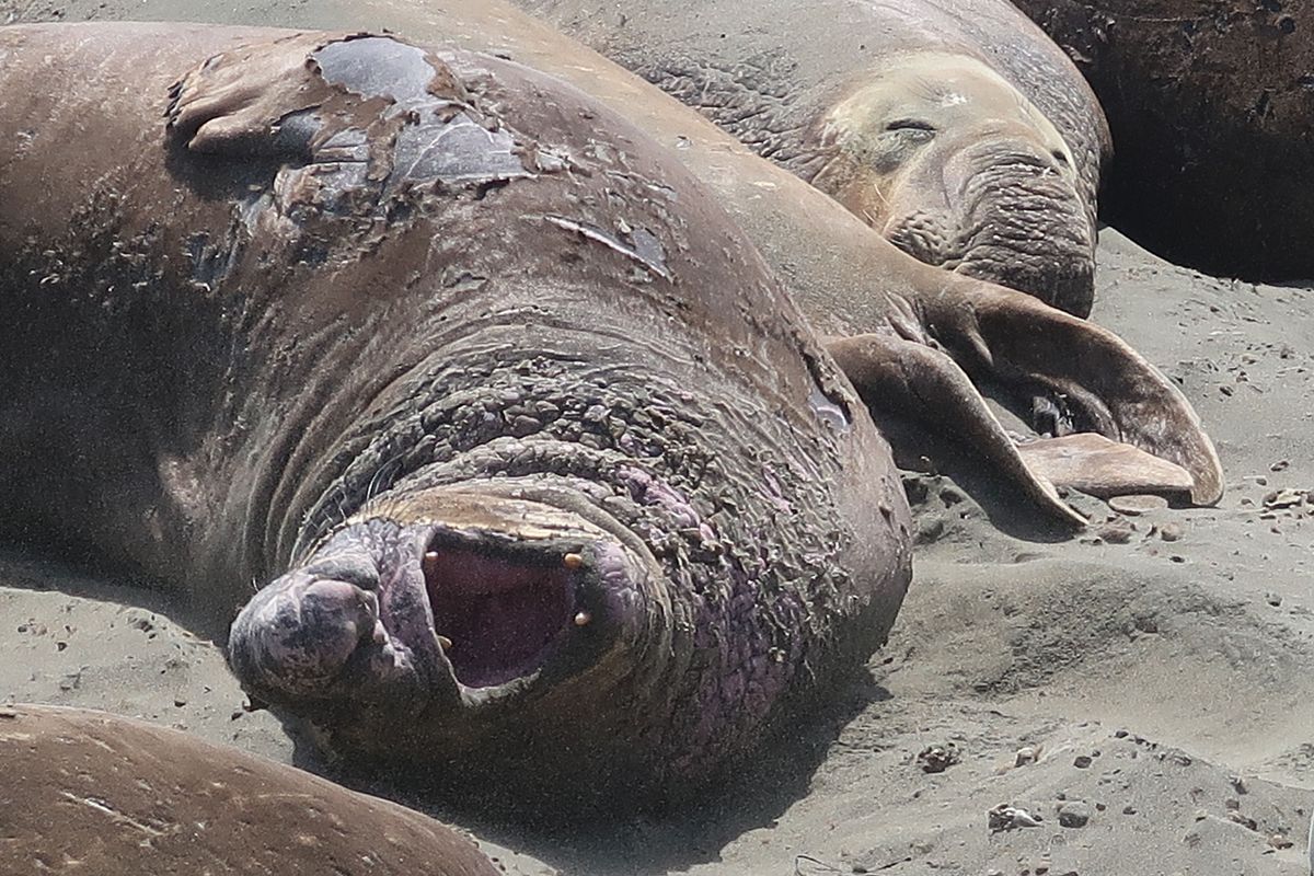
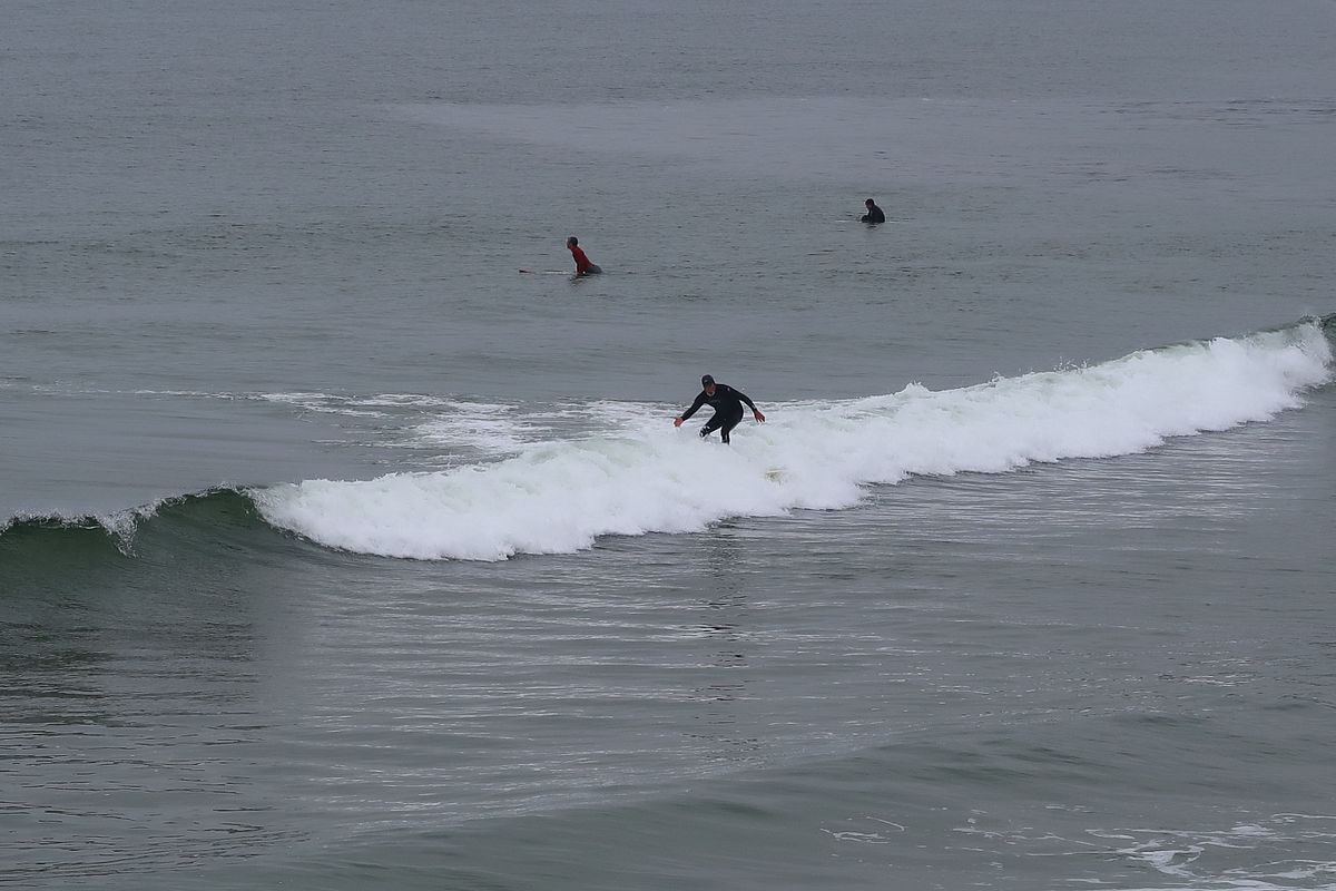
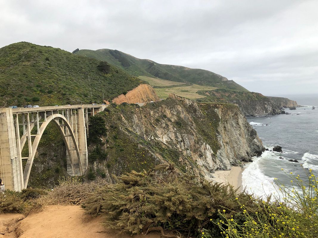
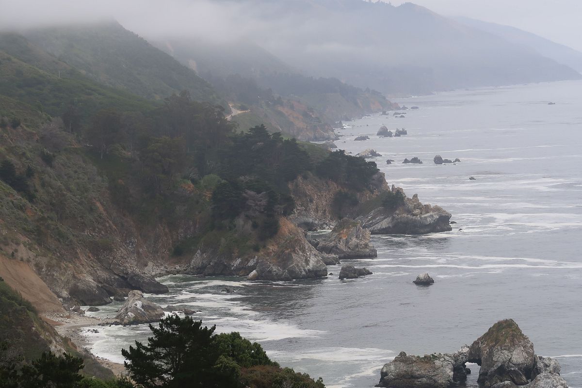
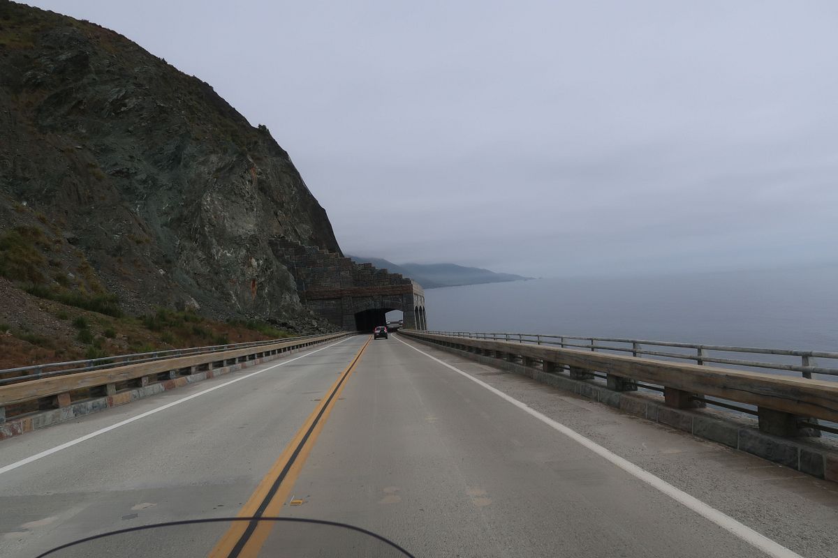
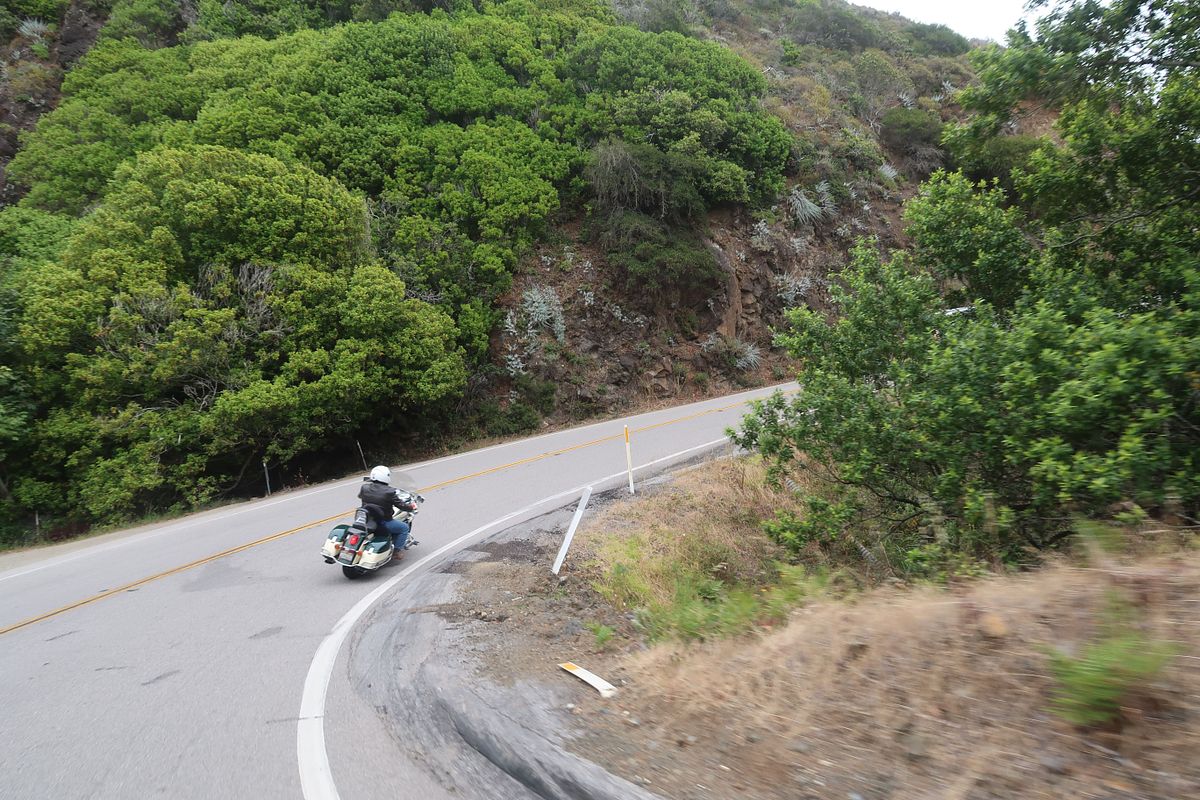
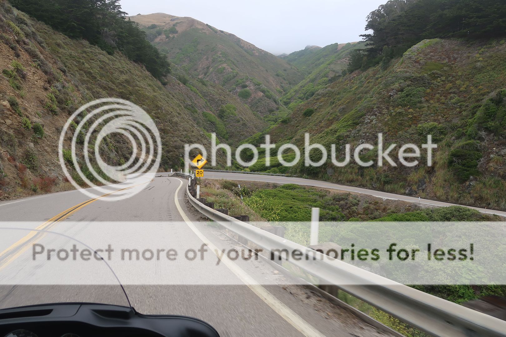
My brother lives in Nipomo / Santa Maria and he had left his Valkyrie up at his daughter's in SF so we could ride down the coast to his house together. We rented the bike in SF and caught the 1 at Santa Cruz. Nothing much to see until Monterey. Carmel is where the fun started. Big Sur was amazing.

IMG_6171_zpsncjydlyy.jpg


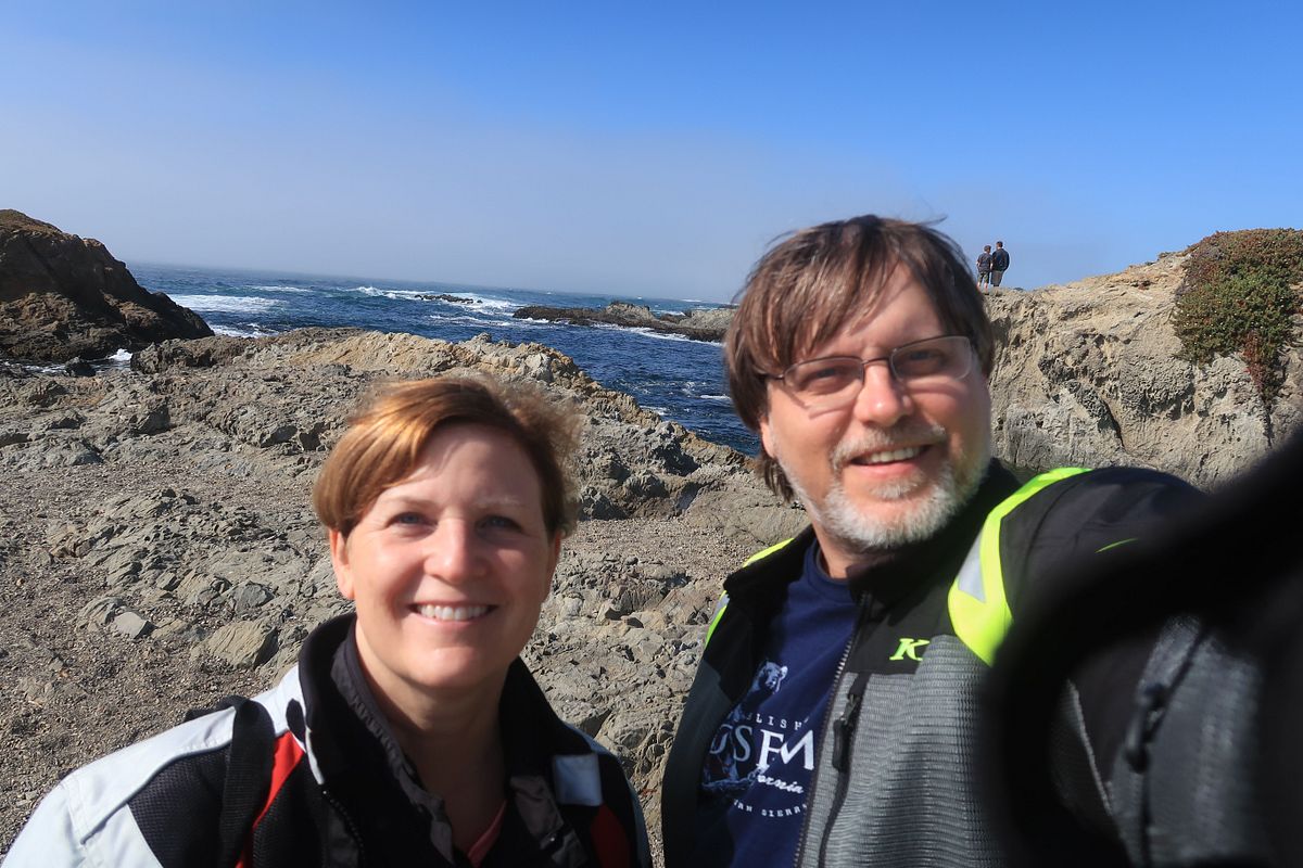
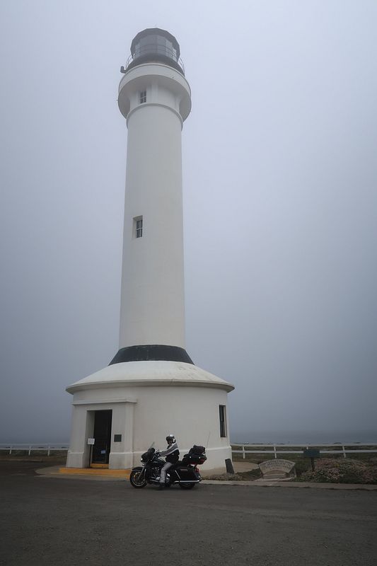
Here's my brother with our bikes:

IMG_3335_zpsjjbaccv8.jpg


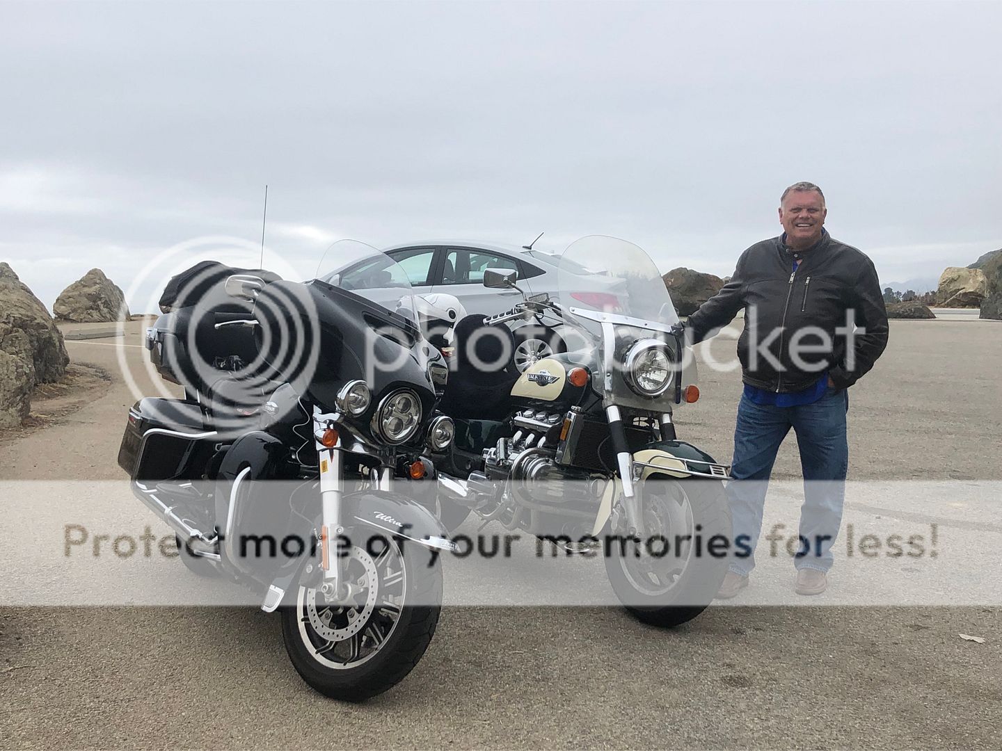
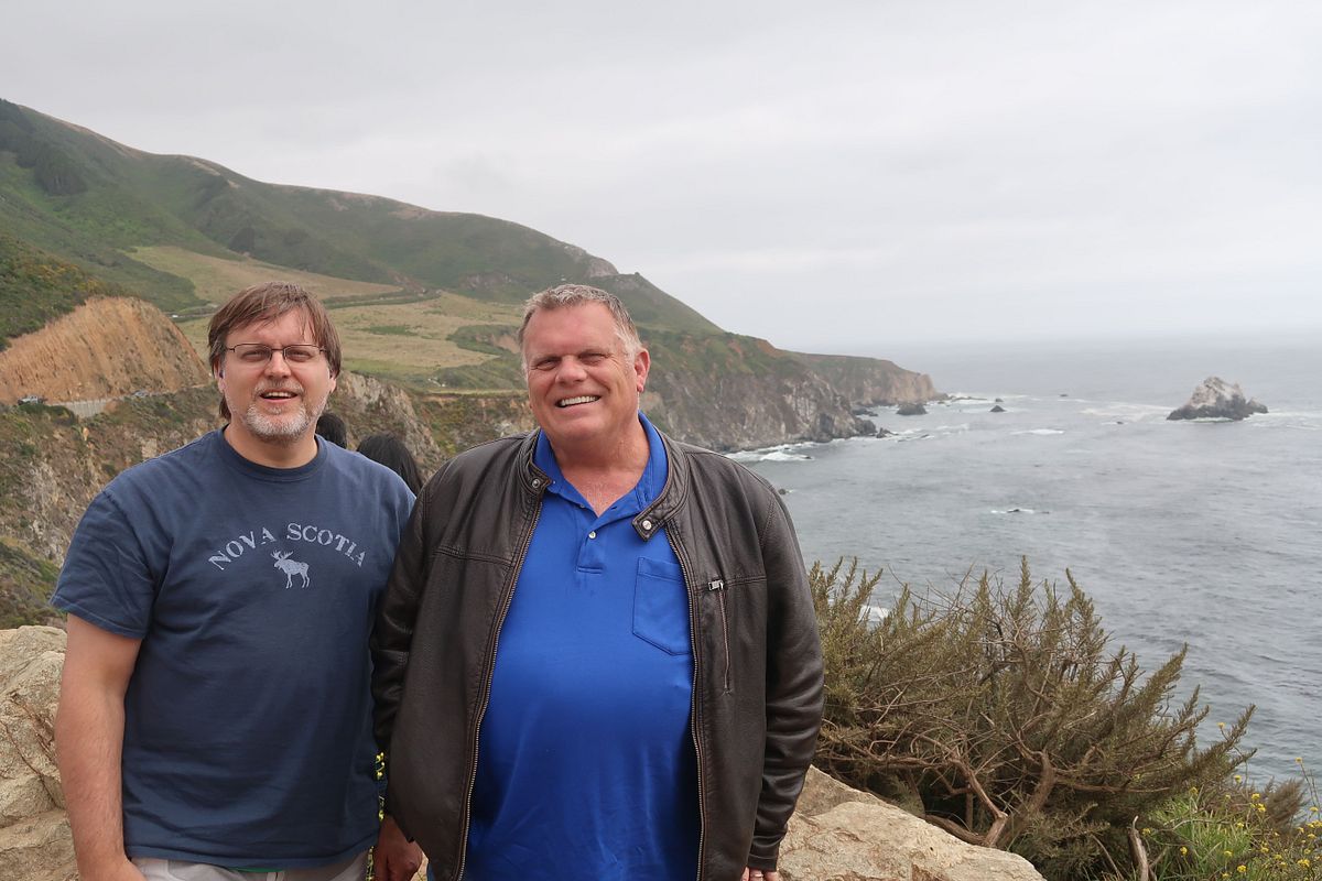
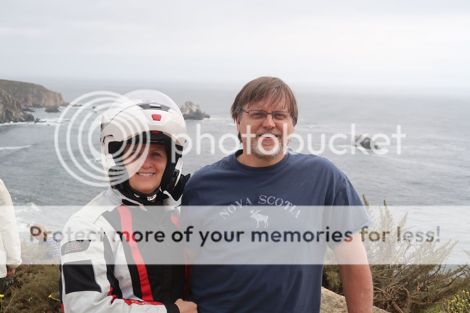
Even though it was my brother (along with my father) that influenced my love of motorcycles, I don't think we had ever ridden together. He was pretty nervous about riding down the coast as he's had a quadruple bypass and some more recent problems that has left him with a pacemaker/fibrulator. He's ridden a lot of years but never any long distances and that was his longest ride. I think he did better than we did on that first day. He said we inspired him and now we are planning another trip, likely in Colorado.

IMG_2305_zpsjcpajyac.jpg


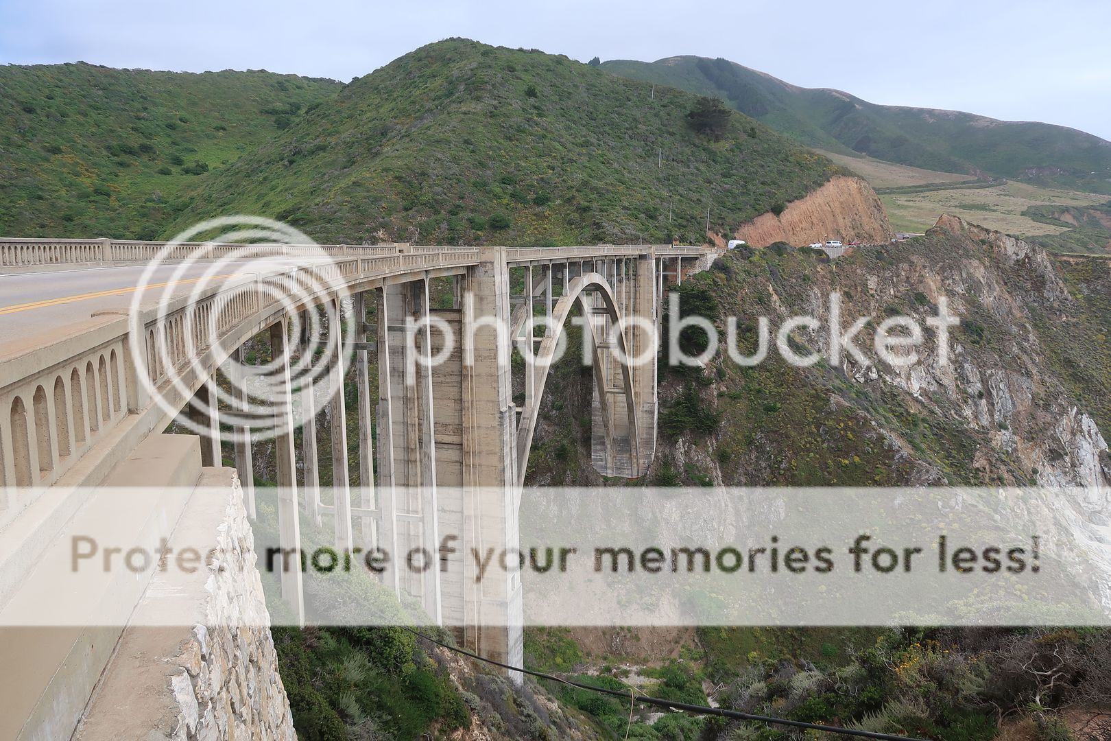
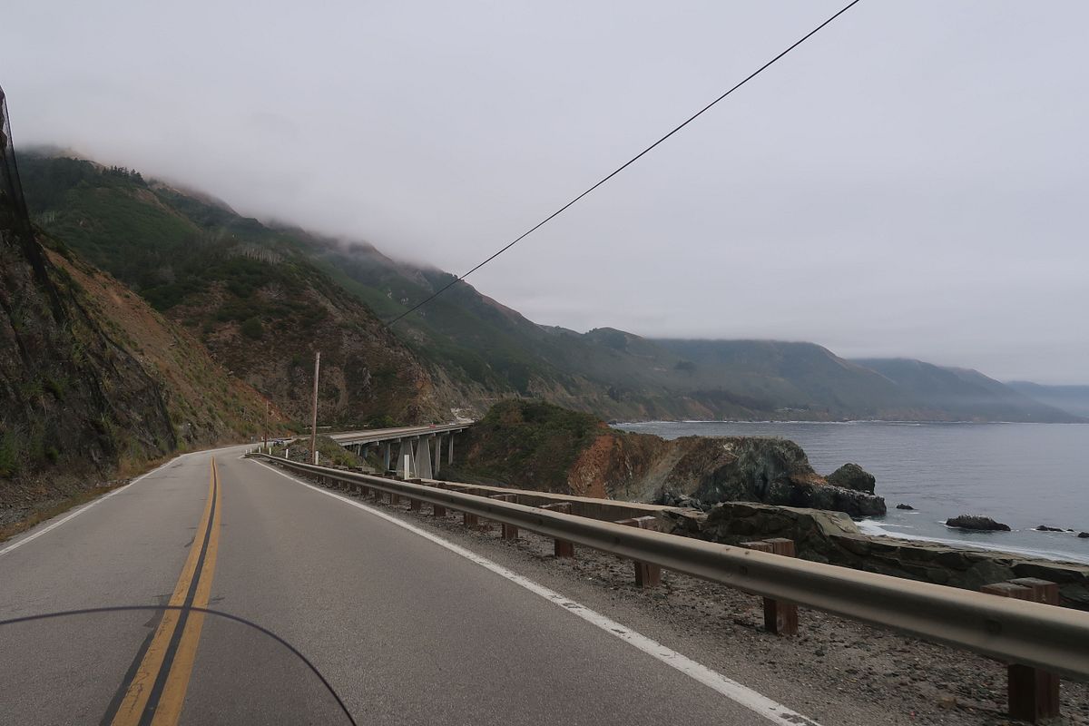
I've got lots of pictures of the bridge at Big Sur but I'll narrow it down to one more:

IMG_2298_zps3geofxvs.jpg


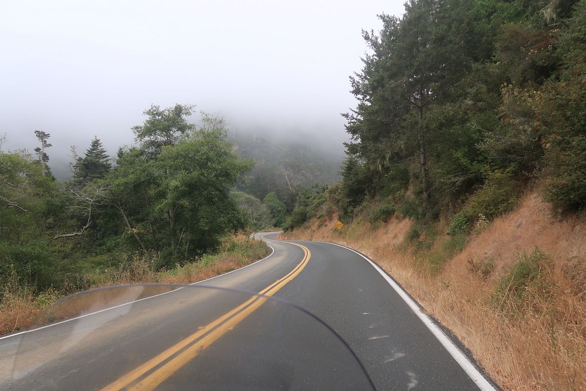
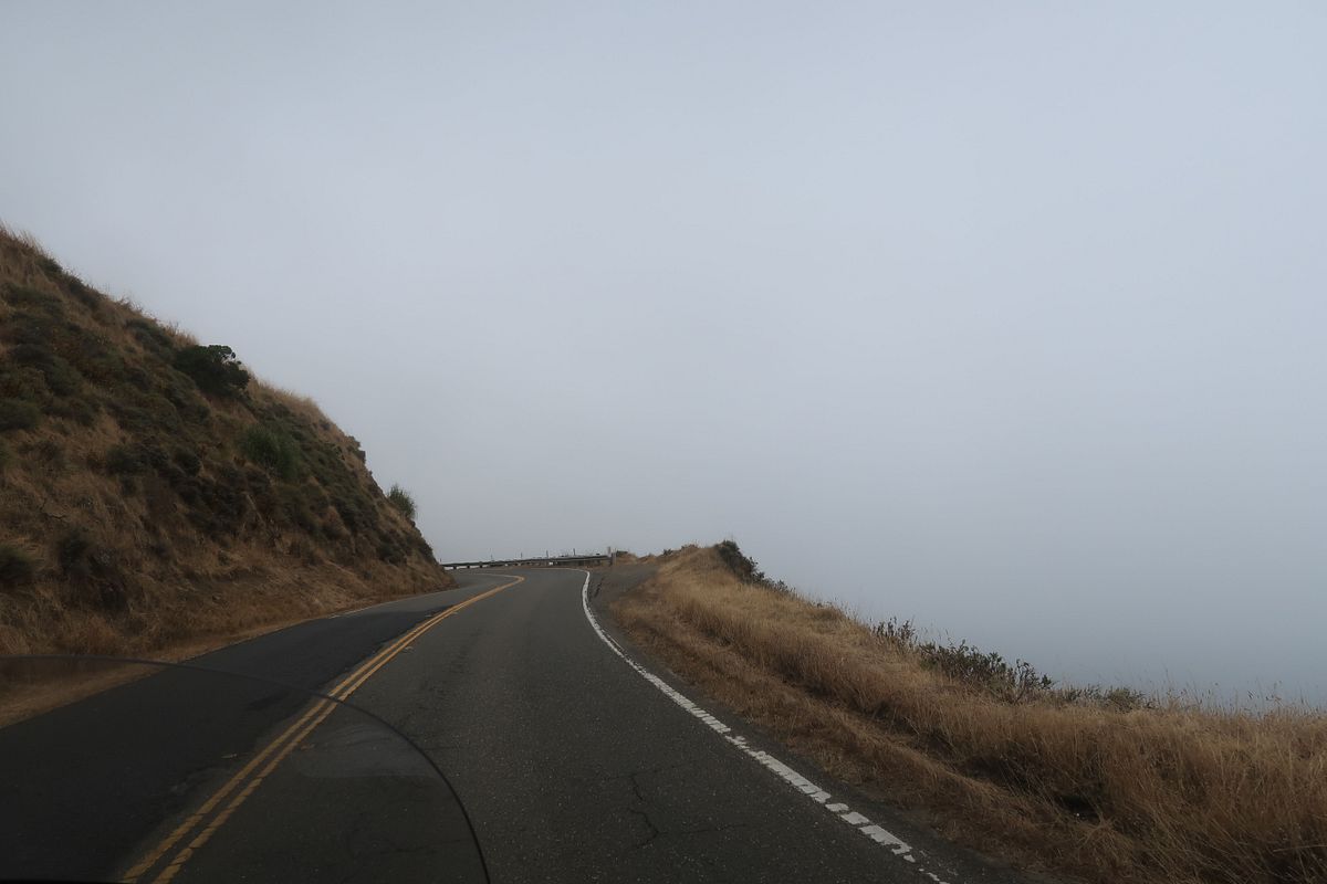
The road along the coast is twisty and scenic. Friday afternoon traffic was sporadic and most of the time we were able to drive about speed we wanted. It was chilly though. I usually wear my Rev-It adventure jacket when I have a mixed temp ride, but I planned for mostly heat and wore the Klim mesh jacket. I don't regret it, but I wish I had brought a liner.

IMG_2330_zpsdrd7dbzg.jpg


IMG_2345_zpsnbazqdem.jpg


IMG_2347_zps3yskfe8c.jpg


IMG_2387_zpsjeof7ujn.jpg


IMG_2399_zpsmhrkfuds.jpg


IMG_2306_zpswamhnhya.jpg


To be continued...

 
Ditto. The pic of your route doesn't open up like a link to your ride on Spotwalla would--hope you have that in store. Looks like you saw a lot of the best stuff. I almost agree with your brother about the 95%, since most people only see what you can see out of a car window from the freeway. But counting the motorcyclists, 95% is probably low.

 
Ditto. The pic of your route doesn't open up like a link to your ride on Spotwalla would--hope you have that in store. Looks like you saw a lot of the best stuff. I almost agree with your brother about the 95%, since most people only see what you can see out of a car window from the freeway. But counting the motorcyclists, 95% is probably low.
Yeah, he definitely was not talking about motorcyclists.

And here's the real spotwalla link for those interested:

https://spotwalla.com/tripViewer.php?id=1eedc5d1e3c3965cbf&hoursPast=0&showAll=yes

 
Day 2 - Saturday - Nipomo to Lancaster (371 miles)

Said goodbye to my brother and sister-in-law as we headed out for our brush with northern LA

IMG_2417_zpsvephyboi.jpg


166 going across to the Maricopa Hwy was pretty straight but the scenery was different and kind of interesting.

IMG_2421_zpsblgdcxrs.jpg


My Butler map said the Maricopa was one of the best roads in Southern Cal. I agree with them. It was very twisty and scenic.

IMG_2449_zpsaslncid1.jpg


We had breakfast in Ventura and drove across to see the hills of Malibu. First, the coast by Sycamore Beach was quite pretty.

IMG_2454_zpsrcl1friv.jpg


We had several options that looked like good roads up from the coast overlooking Malibu and we chose Deer Creek Road and Yerba Buena. It was not what I expected. Extremely twisty but a lot more remote than I expected that close to LA. Quick altitude change change as you can see looking down at hwy 1 just a little ways up.

IMG_2460_zps6oligfx7.jpg


We actually got tired of the narrow tight turns after about 30 minutes on Yerba Buena. It was still pretty but I was glad to be out of it.

IMG_2473_zpscjsfvrqt.jpg


IMG_2477_zpsrosbekkn.jpg


IMG_2485_zpscauvk8nr.jpg


Took Kanan Dume back down to the beach which was a lot quicker. Malibu was ok.

IMG_2492_zpsycotp4zg.jpg


The 30 miles from Woodland Hills to Hwy 2 was more what I expected from the LA area. Very large interstates with occasional stop and go traffic. It was already getting hot which always shortens my patience and tolerance for traffic. I was wondering if it was going to be worth it to ride Angeles Crest.

IMG_2502_zps94xfs6on.jpg


It was worth it. There is still the detour which adds about 8 miles, but the detour is not a bad road either. Hwy 2 - Angeles Crest is not bad scenery, but for me the experience of the road is the flow of the curves. No traffic at all and a really smooth flow of sweepers made it a great road.

IMG_2560_zpso0pqiikc.jpg


Big Pines Hwy was also a decent road before getting into the straight boring roads of the desert headed up to Lancaster.

Not much to see in Lancaster unless you get excited about the musical road. The Harley was so loud, you could barely hear it play the out of tune William Tell. We went to a Mediterranean restaurant and Tam ordered the dish below. The green bell pepper she took a big bite of turned out to be some sort of demon pepper from hell. It was funny until I tried it and had to spit it out.

IMG_6177_zpsejykppvb.jpg


Last edited by a moderator:
Day 3 - Sunday - Lancaster to Fresno via Trail of 100 Giants (294 miles)

Kern Canyon was fun on a motorcycle, but there was some traffic which dampened the ride some.

IMG_2588_zpsrmqnhmah.jpg


Lake Isabella

IMG_2608_zpsr0an7jyl.jpg


Took Mountain Hwy 99 up to Trail of the Giants

IMG_2614_zpskeac4z76.jpg


IMG_2644_zps3a7ex3iz.jpg


IMG_2630_zpstc8qbpos.jpg


This sequoia fell in 2011 and they still haven't fixed the bridge and path.

IMG_2647_zpssppfubxo.jpg


IMG_2656_zpszuuvtmlc.jpg


Redfish Hunter said that Hwy 190 was the twistiest road he's ever seen. I now can confirm he's right. The tail of the dragon has a lot less curves. It's a good road, too. Great pavement and a nice flow. I about got wore out on it, but the back and forth curves were like doing a serpentine for 21 miles. It was a blast and Tammy liked it too.

IMG_2667_zpslhdeov4h.jpg


IMG_2665_zpsdfmkp6mc.jpg


Spent the night in Fresno on the north side so we could hit Yosemite before the crowds in the morning.

 
If you're here for the pictures, Monday and Tuesday are the picture days. Sorry if I post too many...

Day 4 - Monday - Fresno to Truckee via Yosemite, Mono Lake and Monitor Pass (328 miles)

We got up at 5:00 and were on the road before 6:00. Our goal was to get to tunnel view before 9:00.

IMG_2676_zpscxmi7kkg.jpg


Fairly low traffic on the way up Wawona Road to Yosemite, but of all things, there was a student driver car with three of us following all the way to Tunnel view. No chance to pass. I can't imagine what drivers ed teacher would take their student to Yosemite to learn to drive. Anyway, here's tunnel view at 8:10 am. The sun was a little too low for pictures here, but the lack of people made up for it.

IMG_2693_zpsn2m2xdfw.jpg


El Capitan was much more massive than I expected. I had high hopes for Yosemite and it surpassed them.

IMG_2721_zpskf0nlmky.jpg


IMG_2719_zpssotqrcrk.jpg


Bridal Veil Falls

IMG_6199_zpsijixfe2f.jpg


Yosemite Falls

IMG_3344_zpseugcsrcw.jpg


IMG_6213_zpsqzuosdjp.jpg


IMG_3379_zpst3cuu2f6.jpg


IMG_3372_zpsqjhabn9b.jpg


IMG_2728_zpsilcwezem.jpg


I was surprised how good the views of half dome were

IMG_2799_zpsshzsnddg.jpg


IMG_2822_zpsmctop9ho.jpg


IMG_2815_zpsljx82huo.jpg


Saw a bear eating berries. Tam took a quick pic and got away. I looked around and made sure there were people slower than me taking pictures and then watched it for 5 minutes.

IMG_2788_zpsc9xioo2s.jpg


Tioga Road was also amazing. At times it reminded us of Beartooth Pass.

IMG_2838_zpsmjdyvh6d.jpg


IMG_2849_zpsomtjqgf2.jpg


IMG_2851_zpswuc71tlb.jpg


IMG_2869_zpsetrf4zqn.jpg


IMG_2876_zpsvr1yypvs.jpg


IMG_2871_zpsfoytlftf.jpg


IMG_2877_zpstpnlhpjy.jpg


Ate lunch at Lee Vining and took a few pics of Mono Lake. We had a lot of pictures of it from a previous visit with my brother so we didn't spend much time, but it's a very interesting place.

IMG_2893_zps2bnakedj.jpg


IMG_2901_zpsdi1k6bze.jpg


That's when the clouds started getting interesting. Seems like one day of our trips there are unusual clouds just begging to be photographed. I never notice them until I see Tammy's pictures from the back of the bike. I didn't edit any of these other than a crop or two.

IMG_2894_zpslchnseqm.jpg


IMG_2904_edited-1_zpsdbbksbeo.jpg


IMG_2906_edited-1_zpsspc3onoh.jpg


IMG_2908_zpsbo6wcvym.jpg


IMG_2911_zpscinzrtrq.jpg


We took 395 up to 89 so we could cross Monitor Pass. On 395 we were following a pack of Harleys in traffic going right at the speed limit. It seems everybody wanted to go a little faster because every time there was a passing lane the pack of cars and Harleys all rev'd up to 85 mph and raced to see how many of the slow cars they could pass. It seemed like a Nascar race that kept getting yellow flagged. If I had the FJR they wouldn't have seen me long.

Monitor pass was also beautiful

IMG_2923_zps48j57rzr.jpg


I had meant to go around the west side of Lake Tahoe but I didn't notice my GPS was liking the east side better so we went into Nevada and hit a lot of traffic. Lake Tahoe is nice but it was too crowded. We were glad to get to Truckee for the night.

IMG_2940_edited-1_zps0kcwlwiz.jpg


Looking good so far and yes Tahoe traffic sucks in the summer, come back in mid October and it is tolerable.

Yosemite has to be seen to appreciate how big everything is, glad you were not disappointed.

 
Day 5 - Tuesday - Truckee to Mt Shasta via Lassen (288 miles)

We experienced endless forests on 89 up to Lassen Volcanic National Park and decent roads. It was a nice relaxing morning and we were looking forward to seeing Mt Shasta. We had no idea what to expect from Lassen.

IMG_2950_zpsiqr2djsb.jpg


Some crazy engineering for the railroad and roads along the feather river

IMG_2956_zps2p3a7xq1.jpg


Made it into Lassen a little after noon

IMG_2968_zpsk4jof7tw.jpg


IMG_2974_zpslyqthvjj.jpg


I see why people recommend riding Lassen North to South. It builds that way. But it was very good riding South to North for us, too. It was like a smack in the face of this beautiful mountain and then riding away from it just basking in the experience. The timing was perfect with it only being open three weeks as there was lots of snow.

IMG_3002_zpsmqibe1yu.jpg


IMG_2987_zpsaujzrqfb.jpg


IMG_3006_zpsvmcdfvwl.jpg


IMG_3016_zpspbvtzhvh.jpg


IMG_3028_edited-1_zpsvcyuhkwn.jpg


IMG_3030_zpsjlu2siul.jpg


IMG_3037_zpsywoszc2c.jpg


IMG_3043_zpskgi2h5gq.jpg


In Lassen we had taken our earplugs out and forgot to put them back in as we rode north. We stopped for lunch at a subway in Old Station and both Tammy and I were deaf from the wind noise. The older lady working there was also very hard of hearing. It was quite the comedy routine with us trying to order. We didn't get what we intended but it was fine.

Burney Falls was great and a little different from most waterfalls with all the porous rock emanating the many streams of water.

IMG_6247_zpsn8j7ipvq.jpg


IMG_3060_zps44eqidzj.jpg


IMG_3085_zpsanwj7i1d.jpg


IMG_3063_zpsjzuqsbi2.jpg


We saw Mt Shasta in the distance and knew we were going to fall in love with it as many others have. This view was from the small town with the same name as the mountain where we stayed:

IMG_6276%201_edited-1_zpsumbfs6jj.jpg


We ate at the Black Bear Diner in Mt Shasta and Tammy had the worst Salmon we've ever experienced. My steak was also not great and I paid for it the next morning, but fortunately that didn't last and I can spare you those details. Just avoid the Black Bear Diner.

We just loved the mountain, though. It is a special place. I had read that the views of the stars on the mountain were fantastic because of the low light pollution. Tammy wasn't up for it, so I drove out myself late that night to see the stars. I found a spot on Google maps driving up the mountain road about 2 miles that looked like it was isolated but not too far and had a loop I could turn around on.

Let me preface this next story by alerting you to my personality. Some people are fearless. Some people are fearful and never take risks. I am certainly not a fearless person, but I enjoy calculating the risk and then going ahead with the fear. I was very aware of the presence of bears and other wild animals as I drove up that VERY isolated road. I was also thinking of the stories I've heard about the drug activity and dangerous people living in the Deliverance-like area. I missed the road I was looking for. It was REALLY dark and the Harley lights were not as good as I had hoped. I couldn't find a side road on the mountain that looked like a good place to stop and turn around. I made it over 5 miles up the mountain road when I finally saw a pull-off on the right. Wanting to be headed downhill if I saw a bear or Bigfoot or Charles Manson, I carefully maneuvered the bike to the spot. I turned off the bike and looked up. I remember seeing the milky way on the farm before dad put up lights, but that has been over 45 years. As my eyes started adjusting, it all started coming into view. My nerves were still all jumping, but I wanted to take it in more, so I got off the bike, took my jacket off and put my helmet on the seat. I looked up, fascinated by the sky, as my helmet rolled off the seat down the mountain hill.
fool.gif


Thank God for bluetooth, because I could see the flashing blue light stop 15 feet down. I was able to get it easily (and quickly) as it wasn't as steep as I'd feared.

The stars were worth it.

More of Mt Shasta on the next installment...

 
Day 6 - Wednesday - Mt Shasta to Crescent City via Crater Lake (355 miles)

We took this pic from the hotel parking lot as we were getting ready to leave

IMG_3422-1_zps818onmj6.jpg

I love mountains. Growing up, Pikes Peak was always my favorite mountain. My extended family lived near there and we took a few trips to see them and the mountain. There was always a tongue-in-cheek, never quite validated story that I made a trip back from Pikes Peak 9 months before I was born. Then Tammy and I saw the Grand Tetons a few years ago and we fell in love with them. This trip we found ourselves with a new favorite mountain - Mt Shasta.

IMG_3132_zpsjv4n0rvq.jpg


"When I first caught sight of Mt. Shasta, over the braided folds of the Sacramento Valley, I was fifty miles away and afoot, alone and weary. Yet all my blood turned to wine, and I have not been weary since."
- John Muir, 1874

IMG_3147_zpsswpm2zgv.jpg


The views of Mt Shasta from the north on 97 are the most picturesque, and they extend almost to the Oregon state line.

IMG_3163_zpszueabjsz.jpg


Shasta is 14,179 feet tall which is only 326 feet less than Mount Whitney. Whitney is hard to get a feel for without going up to the portals and then you are already really high up. The Rocky Mountains are probably more spectacular but some of the massiveness gets hidden by the height of the surroundings. Shasta just rises out of nowhere with it's white majesty. The sudden change in topology is what makes Shasta so beautiful.

I think what people notice and appreciate most in nature is change. Whether it's coastline, mountain, canyon or cliff, we are drawn to significant change. We fear and dread change in our lives, but change in nature is powerful and draws us to it, making us feel smaller, yet part of something bigger. Probably there is a lesson for me there about coping with change but I'm also sure the native Indians didn't appreciate the change this mountain volcano brought to their lives at the time it erupted.

We rode 97 into Oregon into Klamath Falls where there was lots of logging

IMG_3197_zpscfapshz1.jpg


We took 62 up to Crater Lake and thoroughly enjoyed the views there

IMG_3434_zpskpfh8l6s.jpg


At 1,949 feet, it is the deepest lake in the US and is a volcanic crater (a caldera) formed in Mount Mazama. The depth of the blue color was unforgettable.

IMG_3438_zpsnijnblvm.jpg


IMG_6297_zpsefuc7hax.jpg


IMG_3237_zpsktk0j9qw.jpg


IMG_3444_zps863qbbtf.jpg


IMG_3451_zpsokymptll.jpg


IMG_3453_zpswuu3blq3.jpg


IMG_3304_zpsp7hjttym.jpg


We looped all the way around the lake and then took 62 down to I5 then down 199 back into California. We started seeing California Redwoods on 199 and then the road was really twisty near Crescent City.

We stayed at an odd motel right on the coast. It was pretty decent but was right by a run-down RV park.

IMG_3402_zpsdykmyfk2.jpg


We drove over to Battery Point Lighthouse. You can only get near it at high tide but it was still nice to see.

IMG_3348_zpsmyvafdd7.jpg


It was very cold and windy and the wind was making shapes in the sand

IMG_3422_zpsf37xoyzh.jpg


I took some shelter on the beach from the wind but it didn't help a lot

IMG_6398_zpsozdooylb.jpg


Day 7 - Thursday - Crescent City to Ft Bragg via Hwy 101 and Avenue of the Giants (238 miles)

The coast is supposed to be beautiful south of Crescent City, but we wouldn't know. The fog was blocking the coastal view every time we got close.

IMG_3455_zpsdc1gzwki.jpg


Here you can see the fog creeping in by the trees on the right

IMG_3460_zpsgx2retfp.jpg


Took Drury Scenic Parkway as a short detour from 101 and enjoyed it a lot

06b4fc43-403e-42b3-afb4-de8330ae761b-original.jpg


After Drury and some more of the invisible coast we got to Avenue of the Giants. This trip was our first time seeing the California Redwoods and they were awesome! Riding among them was a special feeling and we enjoyed walking down the trails by the trees.

IMG_3458_zpsq9gxfjwb.jpg


IMG_6404_zpshmtqgqya.jpg


IMG_3475_zps56l2wz71.jpg


IMG_3478_zpsbj1cnxly.jpg


d2b9096d-6ab4-4bb3-a0f8-f7a73ebb3b50-original.jpg


IMG_3482_zps1cqscvit.jpg


IMG_3503_zpsfwmcel4c.jpg


IMG_3507_zpsvpxynkfx.jpg


IMG_3529_zpsl0vhzmet.jpg


IMG_3546_zpsfcciqpfj.jpg


Hwy 1 south of Leggett back to the coast was fantastic

IMG_3549_zpsrwvau2b6.jpg


The fog had burned off a lot and we got to see some great coastline down to Ft Bragg

IMG_3555_zpsvcopf5zw.jpg


IMG_3561_zpskgov54xe.jpg


IMG_3572_zpsbpbdd1yu.jpg


IMG_3581_zpsbvd2lmzl.jpg


IMG_3588_zpsgrcz92xc.jpg


We checked into the motel at Ft Bragg and drove out to Glass Beach

IMG_3593_zpsh3qrl43b.jpg


The story behind glass beach is interesting. They dumped crap there for years and after they stopped and cleaned out the bigger stuff, the ocean took care of all the glass by polishing it. There wasn't as much glass as we had hoped, but it was neat and it is a nice beach.

IMG_3605_zpsdszvvxhd.jpg


IMG_3616_zpsvqztunqp.jpg


IMG_3612_zpsoawnd2vc.jpg


Day 8 - Friday - Ft Bragg back to San Francisco (184 miles)

Even though we slept in to let some of the fog clear, it didn't clear much. It was 57 degrees all the way down.

Stopped at Point Cabrillo Light just south of Ft Bragg

IMG_3622_zps46khcnok.jpg


IMG_3636_zpsy37czsxk.jpg


Point Arena Light was nice but we couldn't see it through the fog until we were almost there

IMG_3644_zpsdegmnqiq.jpg


IMG_3646_zpsoutfkhuq.jpg


It finally cleared up around Fort Ross and was really pretty between there and Jenner

IMG_3660_zps76qyvrbt.jpg


IMG_3669_zps0bahkong.jpg


IMG_3672_zps0yvzsvef.jpg


As we got near Bodega Bay, the rocky coast was impressive

IMG_3680_zpscga3petk.jpg


IMG_3686_zps0vxnq2de.jpg


And finally back to SF

IMG_3713_zpsonrzwyvy.jpg


We spent the evening walking around SF and rode the cable cars and saw some of the touristy stuff we missed the first weekend.

 
Last edited by a moderator:
Day 9 was just 8 miles back to the rental so there's nothing much to add, but I'll add some pics from before the motorcycle part from SF and the Santa Maria area if you're interested...

Week -1 - July 12-18

Alcatraz

IMG_1728_zpsaau90acx.jpg


The audio tour is worth doing if you get the chance

IMG_1758_zpsath8weey.jpg


IMG_1766_zpstkx4hvkk.jpg


IMG_1772_zpsnzbilsim.jpg


Right across from our very nice hotel this guy took a crap in the street. My sisters were traumatized. It didn't phase Tammy since I crap in the street at home all the time.

IMG_3280_zps9dlc28ke.jpg


Amoeba Music in the Haight Ashbury district had every vinyl album I could think of. Took me back to when music was fun to buy.

IMG_3281_zpsojk9oweh.jpg


Why is it this clear just 100 yards from the fogged in bridge?

IMG_6101_zpsdfoeflxl.jpg


The painted ladies. My mother-in-law lived in SF and said this used to be postcard row before they painted them

IMG_1820_zpszybhxjux.jpg


The top of nutty Lombard Street. We had no desire to ride stop and go down this on the bike.

IMG_1904_zpsh5rvhmkx.jpg


Transamerica building

IMG_1966_zpst7fzfdkb.jpg


Back down in the Santa Maria area, the seals were hanging out near Avila Pier

IMG_2055_zpsb8diiim8.jpg


Whalers Island by Port San Luis Pier is the white rock. They say a family with 14 children lived on this rock.

IMG_2051_zpswrwme0hm.jpg


Rancho Guadalupe Dunes was very interesting

IMG_2085_zpsgm9yepez.jpg


The dunes were the location for several movies including GI Jane, Hidalgo, and one of Pirates of the Caribbean movies. The black and white Cecil B Demille 10 Commandments movie was filmed here and instead of tearing down the sets they just buried them in the sand.

IMG_3311_zpswrira5rk.jpg


IMG_3313_zpsm7kjpfky.jpg


In San Simeon, the elephant seals were still there. There are up to 17,000 there at times and now there are just some males left that are molting, but they were pretty cool

IMG_2126_zpsbsxihbyz.jpg


IMG_2134_zpshq6mzaee.jpg


I think I've seen these guys here on the forum before

IMG_2138_zps1rn1sqa9.jpg


IMG_2144_zps4fvvafzz.jpg


San Simeon Pier

IMG_2164_zpstbxew8du.jpg


Pismo Beach

IMG_2202_zpsysz9got2.jpg


IMG_2189_zpsge3p3upg.jpg


Morro Rock

IMG_2254_zpscwlrjoel.jpg


Sunset in Santa Maria

IMG_3327_zpswvajcklb.jpg


We truly enjoyed the whole trip. If you have any questions about my rental experience feel free to PM me. Thanks for following our journey!

 
That looks like a fantastic adventure!

I am sure Harley doesn't include unlimited mileage on their rental plan.

Curious what the rental expense was?

 
Top