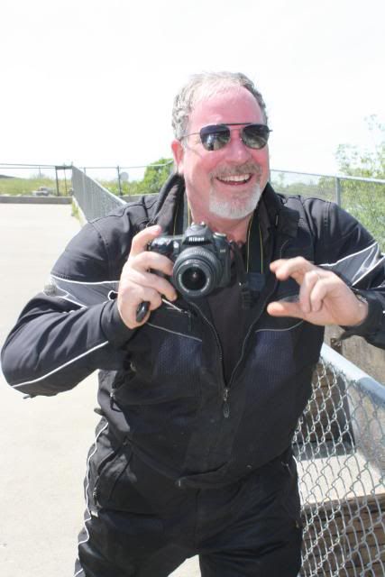
madmike2
Shtirrenuppenmeister
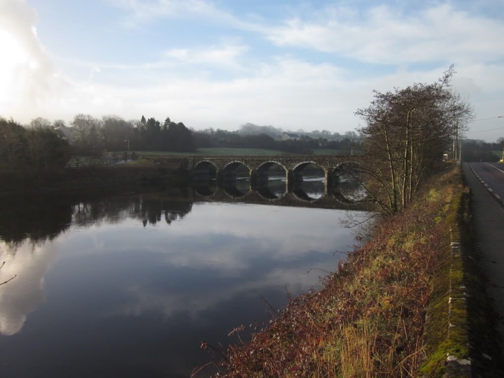
For some time I have been considering "theme rides" rather than rides to a destination or lunch stop. Of course, all rides are good rides....Sometimes I just need a change of pace or motivation.
We in the Sacramento Valley of CA live in a huge delta plain, so there is an abundance of bridges available. I posted to Old Michael's hwy 49 thread that I would be on that Hwy sometime during the day and I soon received a phone call (voicemail) and text message from TominCA: "Riding? Where are you going?"
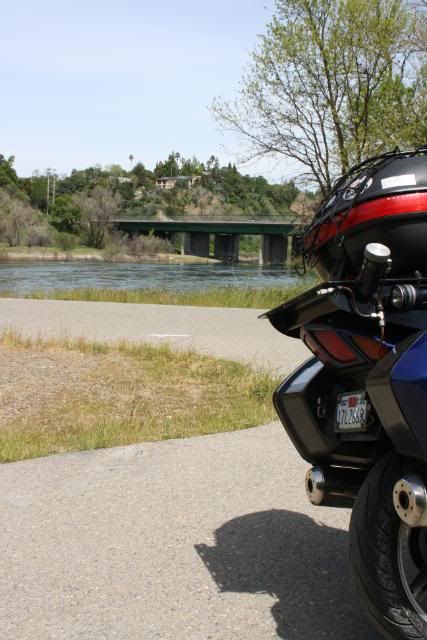
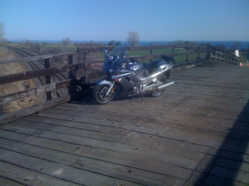
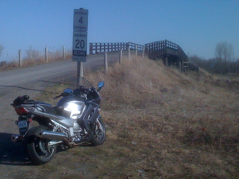
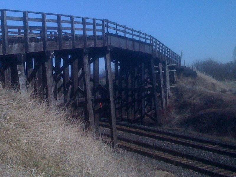
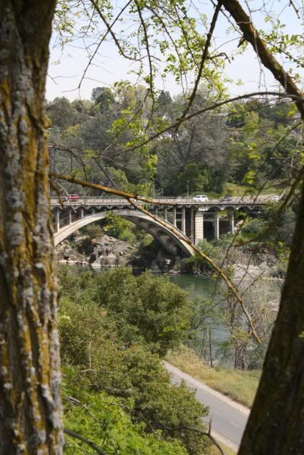
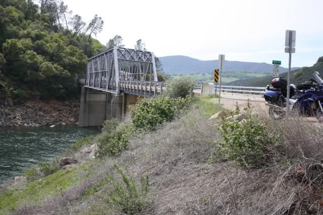
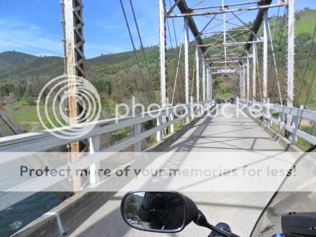
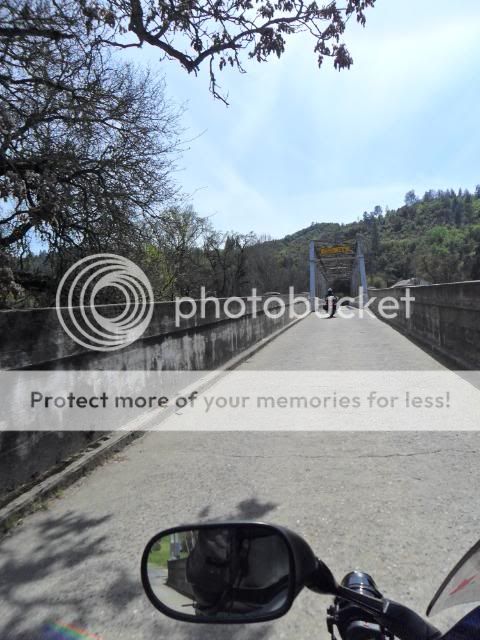
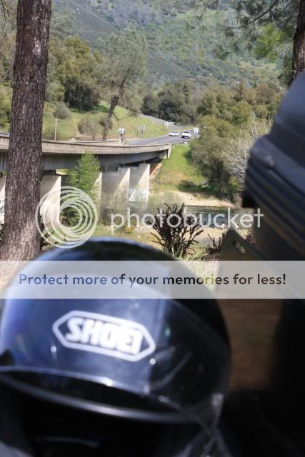
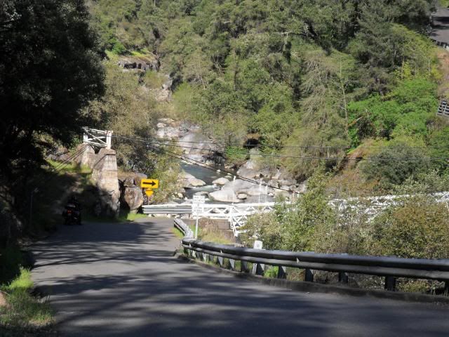
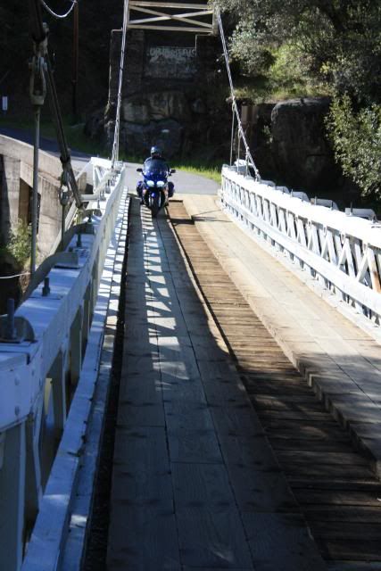
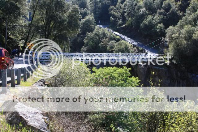
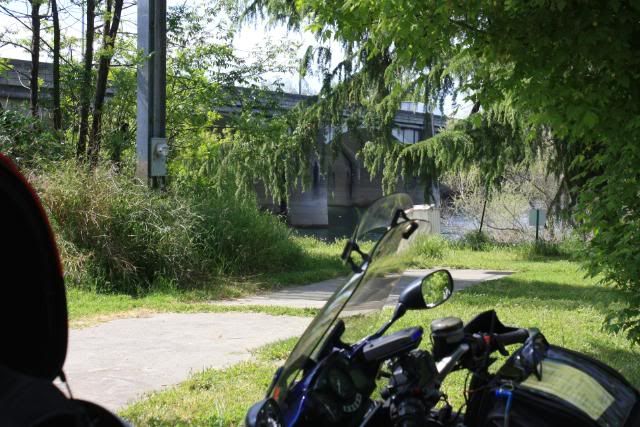
I planned to ride the American River from Sacramento into the Sierra foothills, stopping to photograph the bridges along the way.
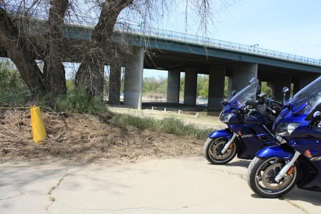
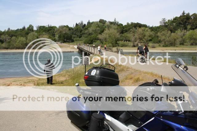
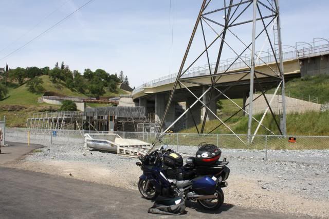
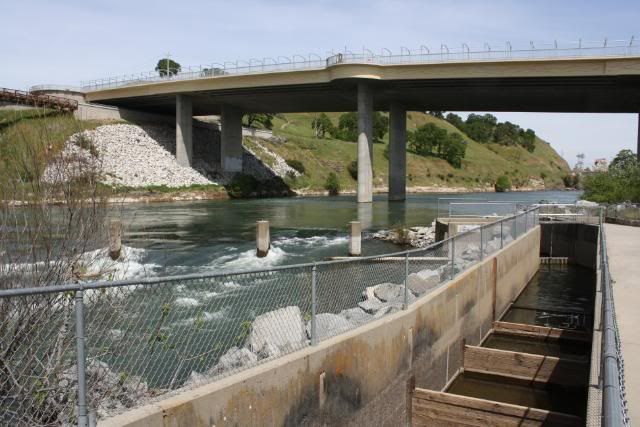
That river is surrounded by levees and houses in most places. Some bridges we simply could not get "under" and merely rode over. Others, we were able to access via the park system and the American River Bike Trail access points. Here are the highlights:
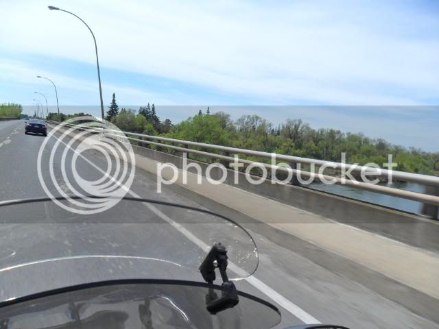
At the beginning, the confluence of the American River into the Sacramento River, just North of downtown Sacramento.
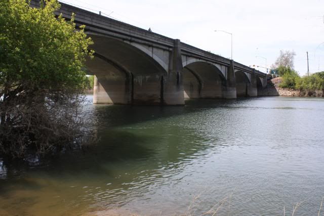
At/over Discovery Park there are 2 bridges.
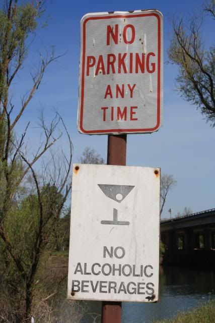
There is a sign with some restrictions posted. Evidently it's not politically correct to say, "No Feckin' Irishmen Allowed"! The reputation of our resident Irishmen (Beemerdons, Old Michael, ShinyPartsUp, et al) has preceded them in Sacramento....
....should they choose to imbibe they must keep driving. :lol:
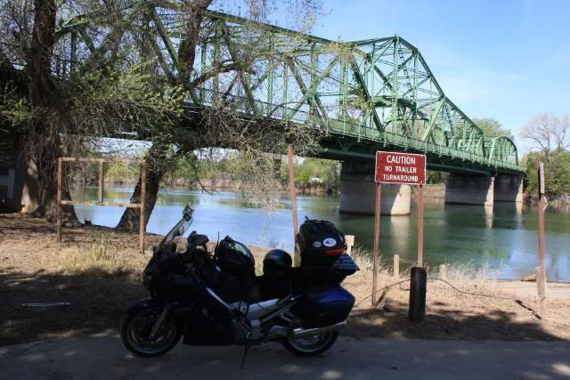
Jibboom Street Bridge is now restricted to bicycles and hikers.
2 weeks ago the water level was above the signs in the background.
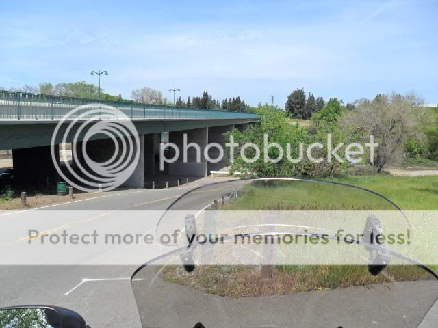
I-5 bridge
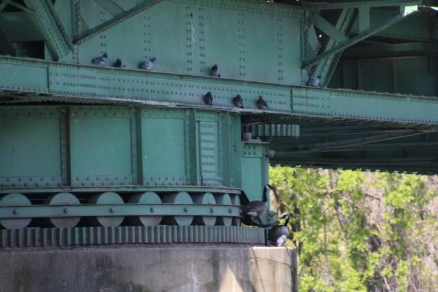
Silly ducks!
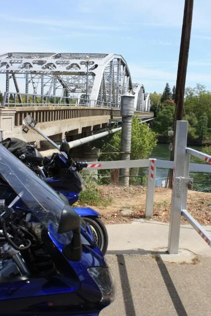
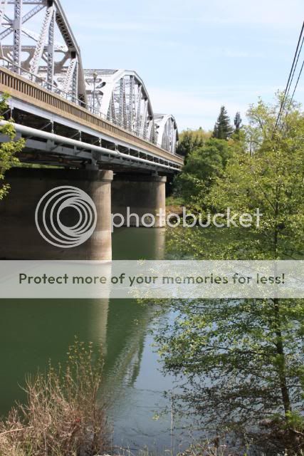
Hwy 160 (12th Street inbound-West; 16th Street outbound-East)
A better/closer view
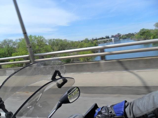
H Street Bridge @ Sacramento State University
More to come, next page
More photos available @ My Photobucket Album
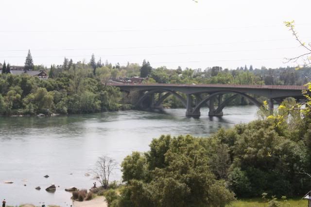
We in the Sacramento Valley of CA live in a huge delta plain, so there is an abundance of bridges available. I posted to Old Michael's hwy 49 thread that I would be on that Hwy sometime during the day and I soon received a phone call (voicemail) and text message from TominCA: "Riding? Where are you going?"
I planned to ride the American River from Sacramento into the Sierra foothills, stopping to photograph the bridges along the way.
That river is surrounded by levees and houses in most places. Some bridges we simply could not get "under" and merely rode over. Others, we were able to access via the park system and the American River Bike Trail access points. Here are the highlights:
At the beginning, the confluence of the American River into the Sacramento River, just North of downtown Sacramento.
At/over Discovery Park there are 2 bridges.
There is a sign with some restrictions posted. Evidently it's not politically correct to say, "No Feckin' Irishmen Allowed"! The reputation of our resident Irishmen (Beemerdons, Old Michael, ShinyPartsUp, et al) has preceded them in Sacramento....
....should they choose to imbibe they must keep driving. :lol:
Jibboom Street Bridge is now restricted to bicycles and hikers.
2 weeks ago the water level was above the signs in the background.
I-5 bridge
Silly ducks!
Hwy 160 (12th Street inbound-West; 16th Street outbound-East)
A better/closer view
H Street Bridge @ Sacramento State University
More to come, next page
More photos available @ My Photobucket Album
Last edited by a moderator: