RossKean
Well-known member
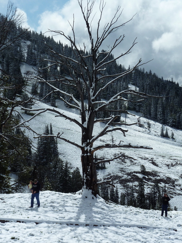
I knew I had been there but couldn't place it. There was some snow at the beginning of the CJ on that day in early July.


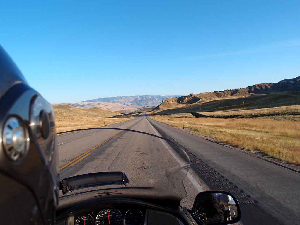
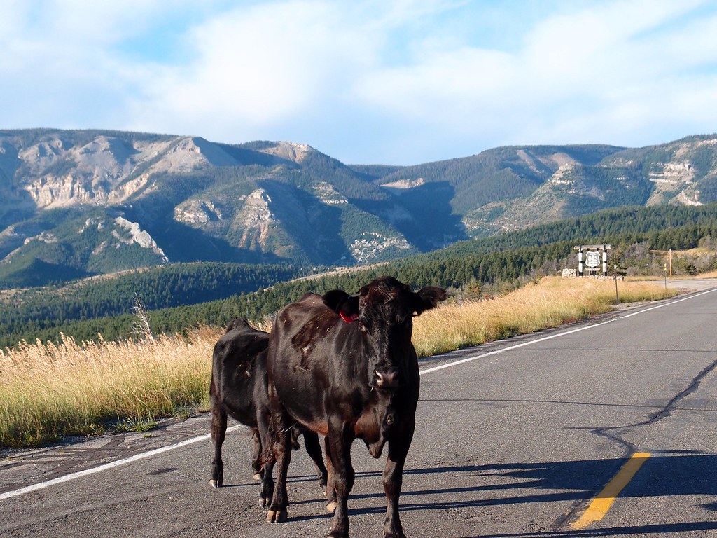
Coming out of the Northeast part of Yellowstone, the plan was to take the Beartooth Highway. Road was closed because of snow and freezing rain the night before. Was not disappointed with the Chief Joseph alternate route! This photo was taken at a rest stop just before the highway barriers set up closing off the highway. July 6, 2010.Ross, if you had snow on Chief Joseph I can only guess how much snow was on Beartooth if it was open. These pics are from trips with a lot of snow on Beartooth Pass.


Yes, getting closer. I'm looking for the name of the mountain in the first two pictures.So I'm thinking Nevada maybe?
No, but you are on the right track Mr Fred.
I had to google Woodpeckers Peak. I know exactly where it is now and have been buy it many times -never knew the name of that peak but I can assure you next time I ride by I'll give a nod to Fredrider for teaching me a new landmark.
Learn sumthin new everyday.
 I thought Woodpeckers Peak was quirky enough to be in contention.
 .
. 
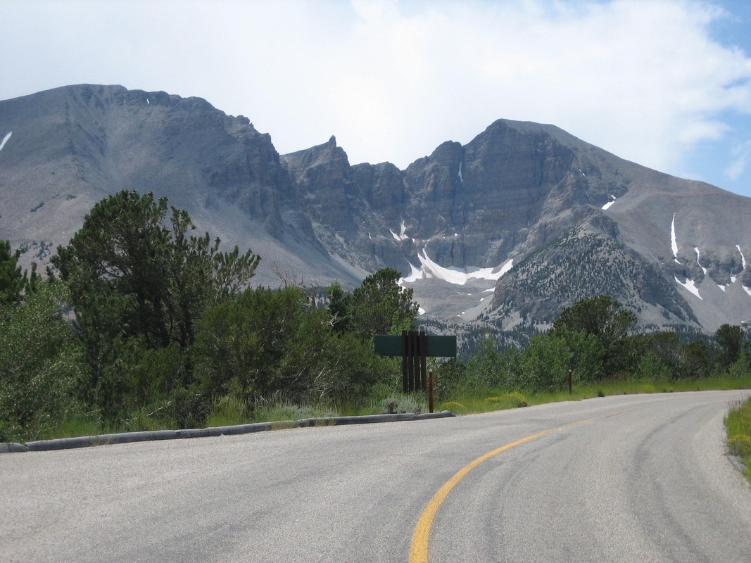
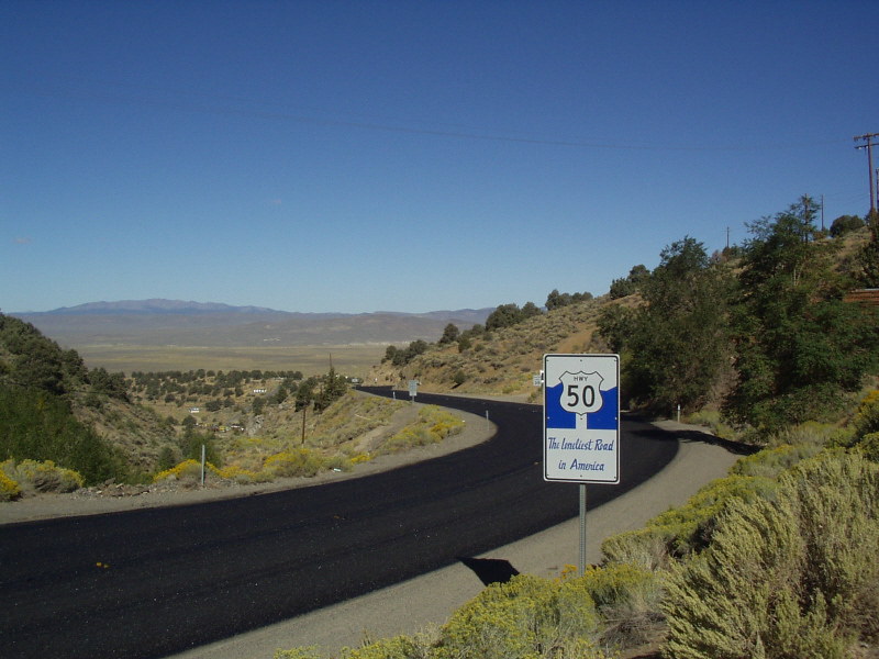
I thought that might be Wheeler Peak. I was concentrating so much on US 50, I couldn't get the "north-northeast" clue to workDing Ding, we have a winner. Wheeler Peak is 13,065 and the second tallest mountain in Nevada. It not far from Hwy 50 (that was in the clue) near the Utah boarder so put it on your list if you are riding across 50. It's really awesome to be in the great basin desert with only sage brush for as far as you can see and then ride up into large Fur, Cedar, and Oak trees out in the middle of the desert.
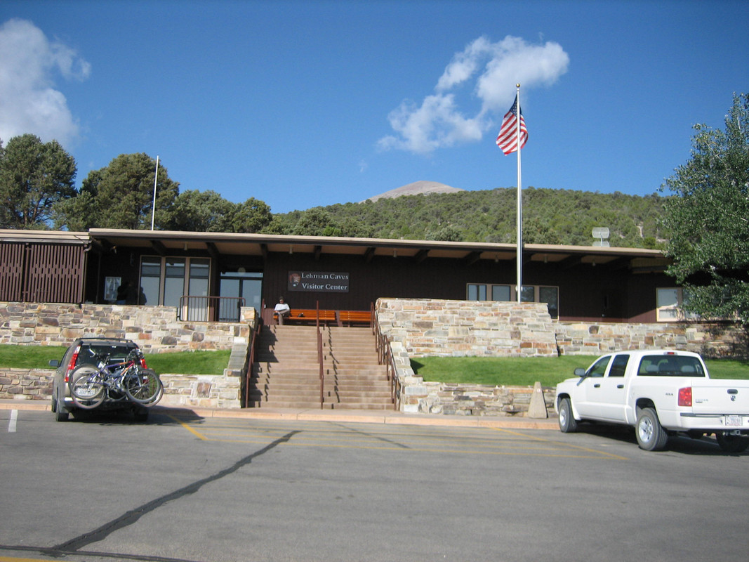
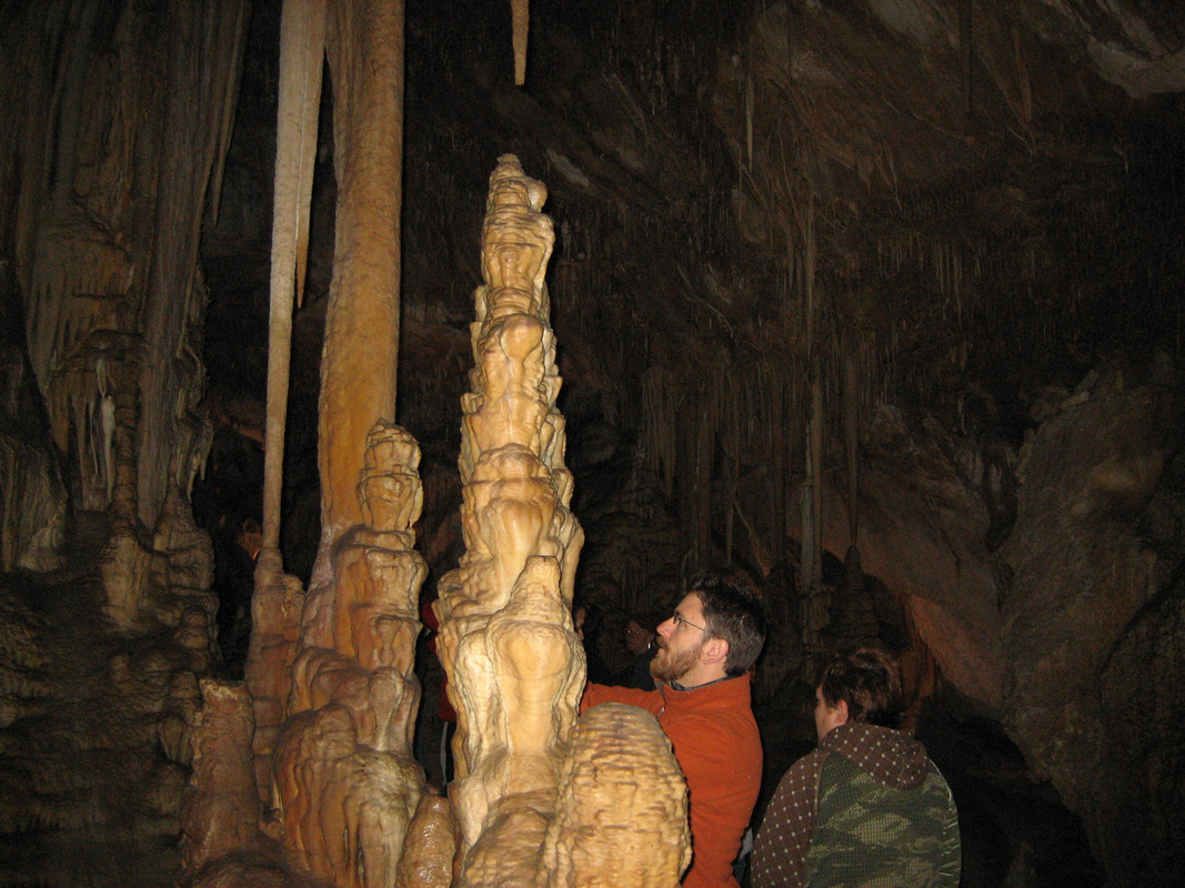
Also the Lehman Caves are up there, you may have to book a tour on line as the visit demand is high in the summer.
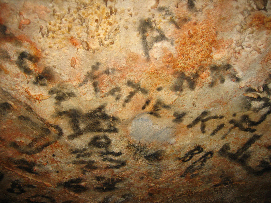
Before the feds took over the caves the general public used to go in there and sign in on the ceiling.
As I mentioned I hadn't been up there in 10 years so it was nice to go back up the beautiful drive last fall. Only takes an hour to run up and back to 50.
Take it away Mr G4.
'
.

Enter your email address to join:


