Travelin Man
Member
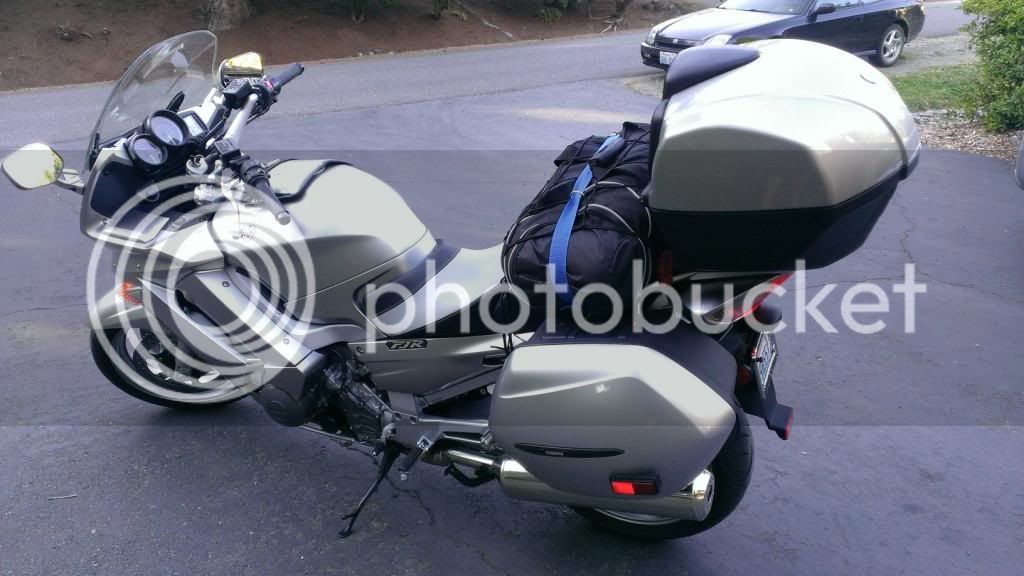
Just returned from a ride recommended by “live to ride” and “Zenwhipper” on this forum in response to my trip report last year to the Cache Creek/Lillooet, British Columbia area. Much indebted to them both as it was truly a great ride that delivered on all counts and it now ranks as my favorite…... Thanks Guys!
The 4 day ride as planned was about 1300 miles but actual miles rode were 1130 due to route change recommended by some locals that I met at the campground n Grand Forks. I’ve been asked by others on this forum why the saddle time in this area seems long when compared to the miles traveled. This is truly back roads cruising where it’s common to get caught behind a farm tractor or RV on a 2 lane road, the road conditions vary greatly and there is no barrier between wild life and the road, twisties are abundant………or maybe I just travel slower
 .
.

Day 1: 350 miles, about 6-1/2 hours saddle time from Woodinville, WA to Grand Forks, BC: Departed Woodinville, Washington and crossed Stevens pass on Hwy #2 to Wenatchee, then the Okanagan Hwy (97 North) to Tonasket where Hwy # 20 East took me to the town of Republic. At Republic took Hwy 21 North to the Danville border crossing into Canada, and camped for the night in Grand Forks, BC.
The Steven’s pass ride (Hwy #2) is always a gem offering great road conditions which enable you to enjoy the sweepers for much of the route and some twisties as you approach Leavenworth, which is great place to take a break offering food, drink, and an interesting place to explore while stretching your legs.

Once past Leavenworth, the ride takes you away from Mountain passes and into the farmlands of Wenatchee and then to the Okanogan Hwy (97 North) offering wide vistas, more sweepers and good to excellent road conditions. Somewhere on the Okanogan Hwy that first day, I decided that my recent investment in a Rich’s custom seat was well worth the cost. That said, my OEM windshield will be the next to go.The Okanogan Hwy was the highlight of the first day, changing scenery, good asphalt, and light traffic.

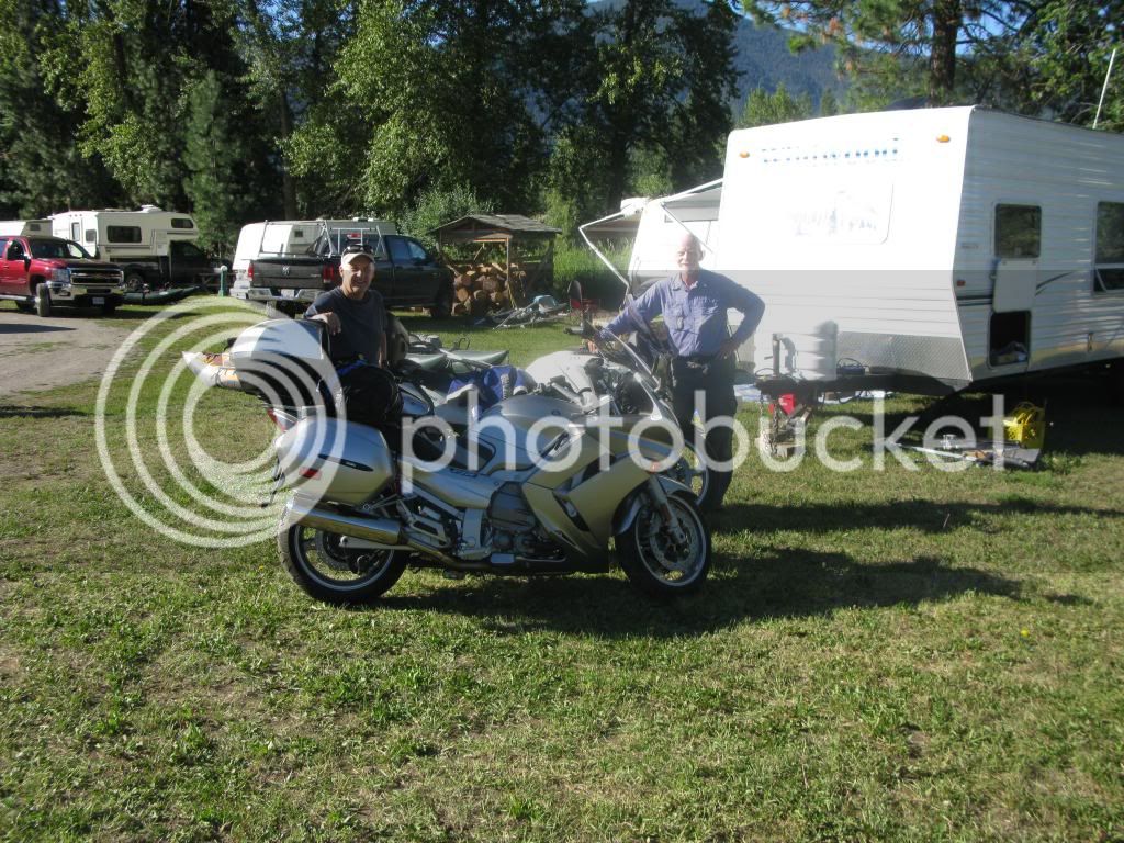
Took another break at the end of the Okanogan Hwy in the town of Republic, another very interesting and bike friendly town that was mostly closed down by the time I got there in the evening but still fun to explore and refill the water bottles as temps were in the high 90’s. The road conditions around Wenatchee and then the Okanogan Hwy were good but the combination of cross winds and a large semi’s created a lot of wind buffeting to deal with so some breaks were needed. The border crossing at Danville was very quick and from there it was about a 15 minute ride to Grand Forks where I pitched the tent and spent the night. At the campground, I met Ian from Vancouver Island on a trek with his new bike.


Day 1 took me from the heights of Stevens Pass, through the Bavarian town of Leavenworth, the apple orchards of Wenatchee, along the Okanogan, and into the forest of B.C. A very good way to start the ride.
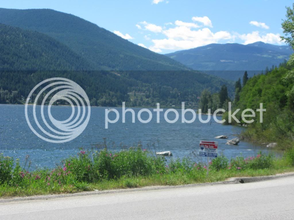
Day 2: 320 miles, about 7 hours saddle time from Grand Forks to Lumby: I had originally planned on heading to Creston then up the East side of Kootenay Lake and then cross the lake at the Kootenay Bay/Balfour ferry crossing and up to Kaslo. The locals at the campground were very insistent that this planned route would be too long of a day and that I wouldn’t make it to Nakusp before sundown. I have had my doubts about the route change since, as I think that I could have made it to Nakusp along the longer route but the route taken was no disappointment in the least. Anyway, I took the advice of the locals and traveled the shorter route to Nakusp. The revised route took me from Grand Forks to Nelson (Hwy #3A and #31A), then to Kaslo (#3A), New Denver Hwy (#6) and I arrived at Nakusp in late afternoon. It was too early to settle down for the night so I ate an early dinner and arrived at Lumby around 6:30. Saddle time seems long for the miles traveled but there was occasional traffic and roads were remote, twisty, and the scenery made me stop and take more breaks than usual.
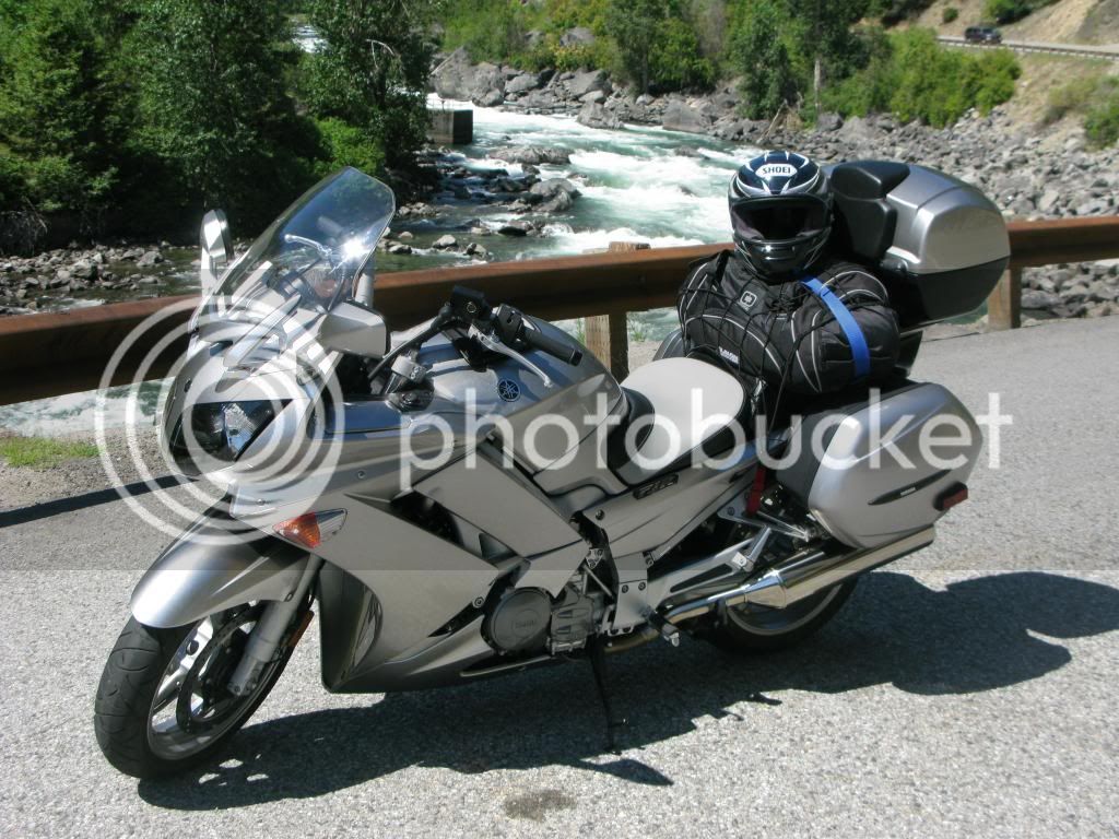
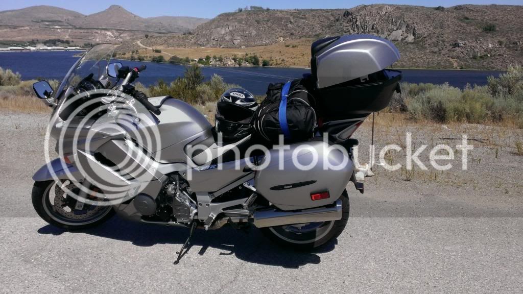
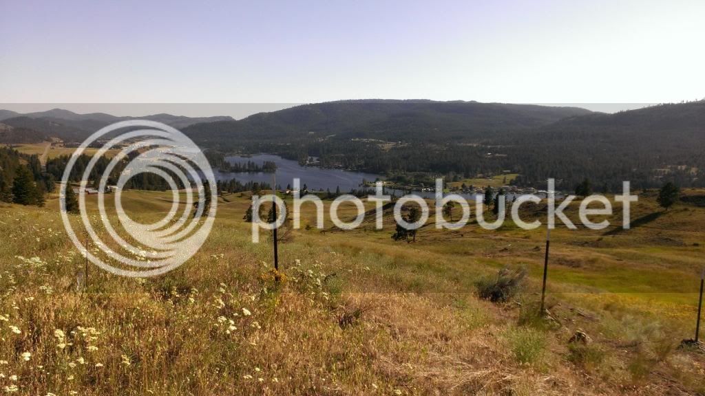
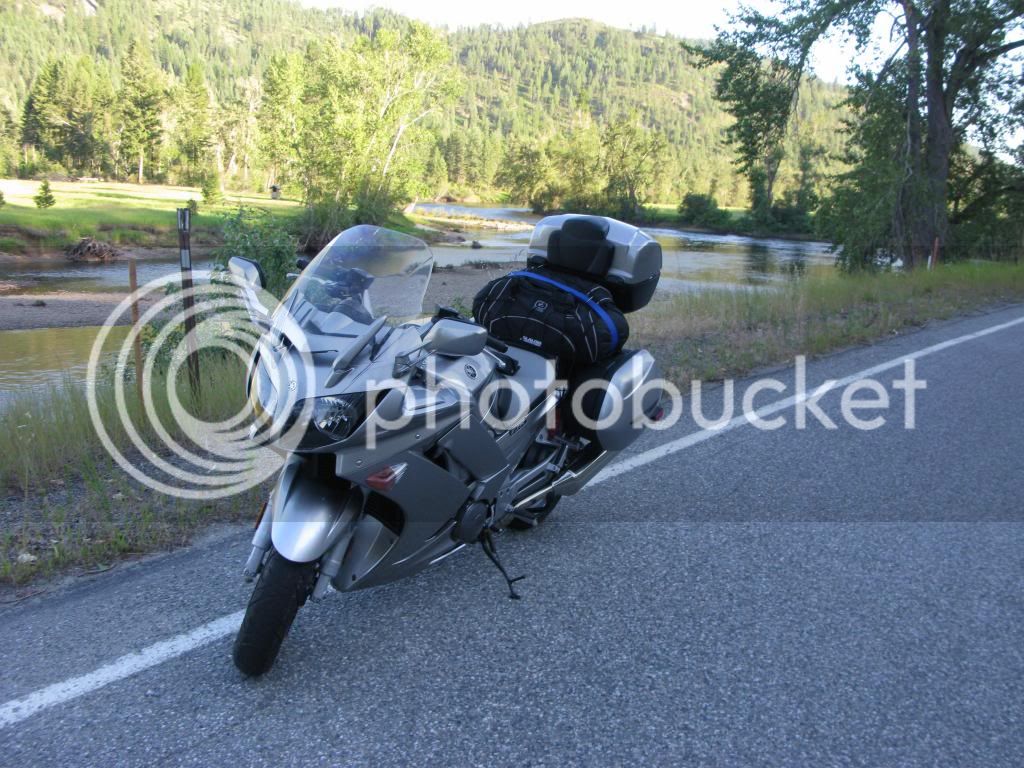
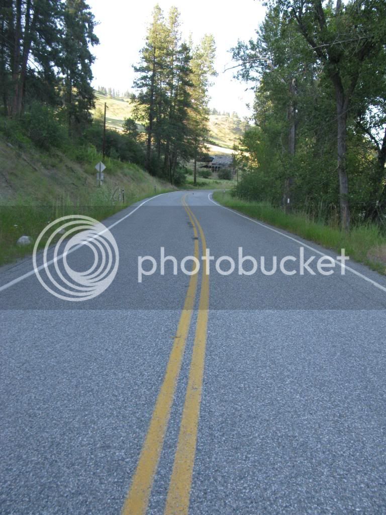
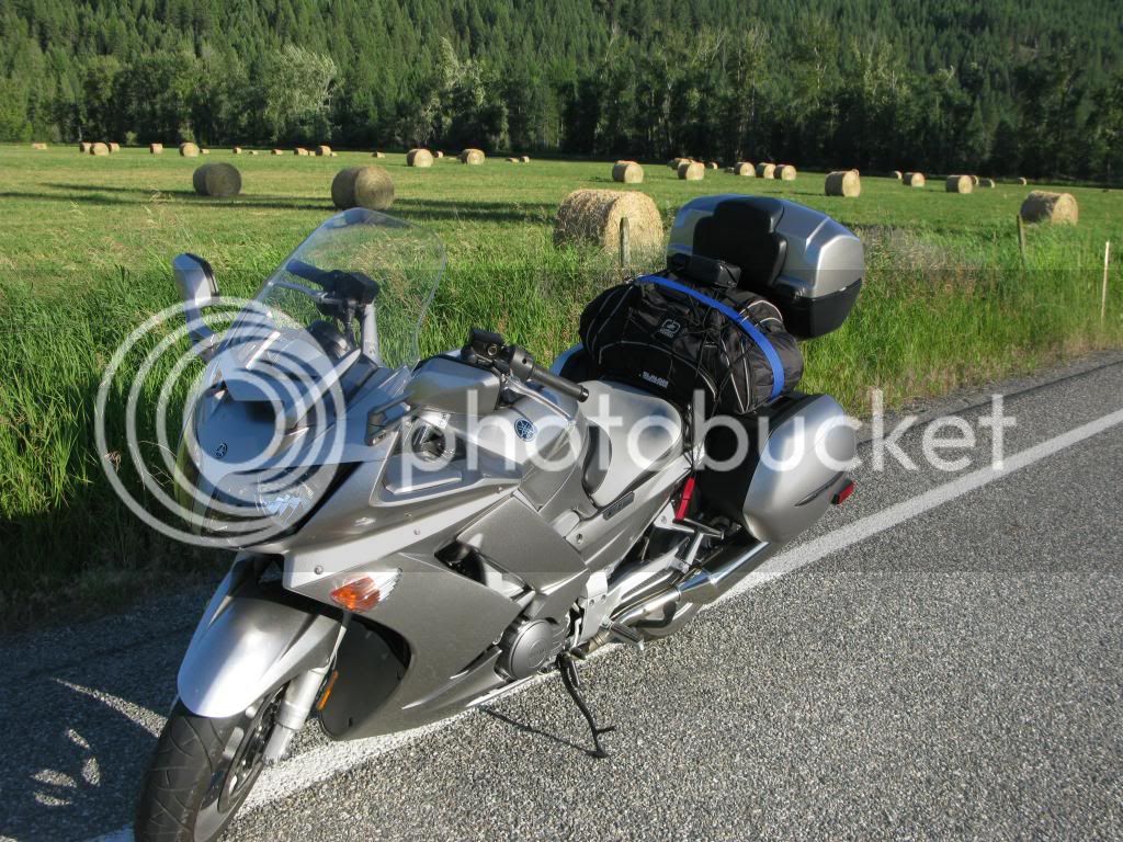
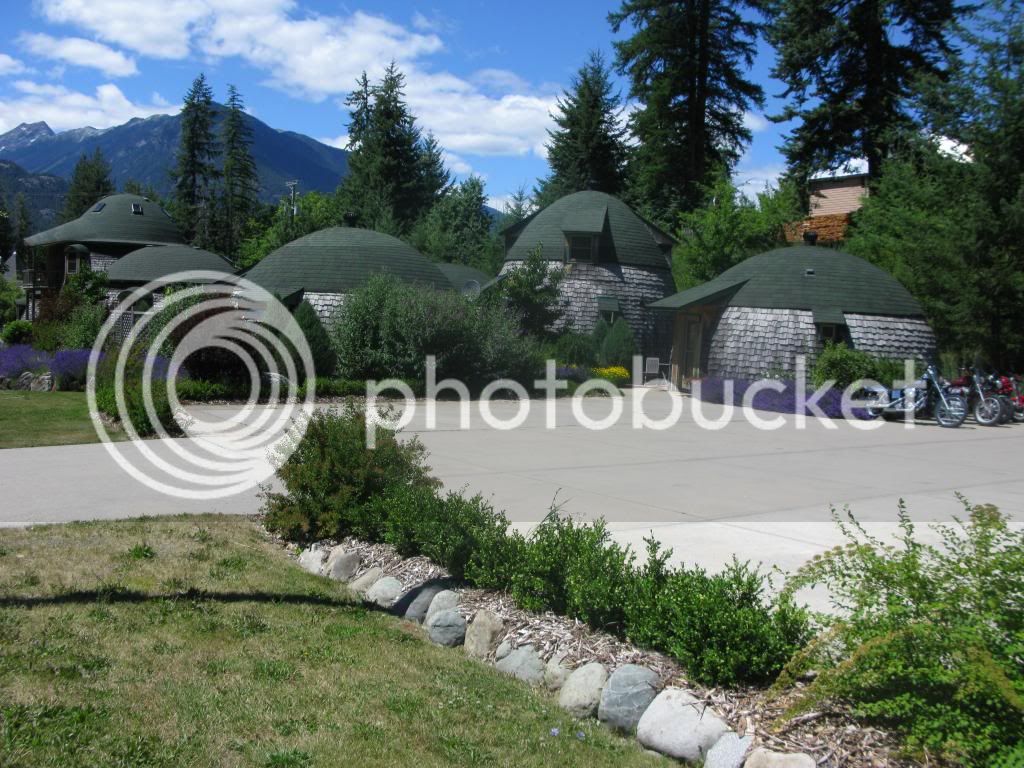
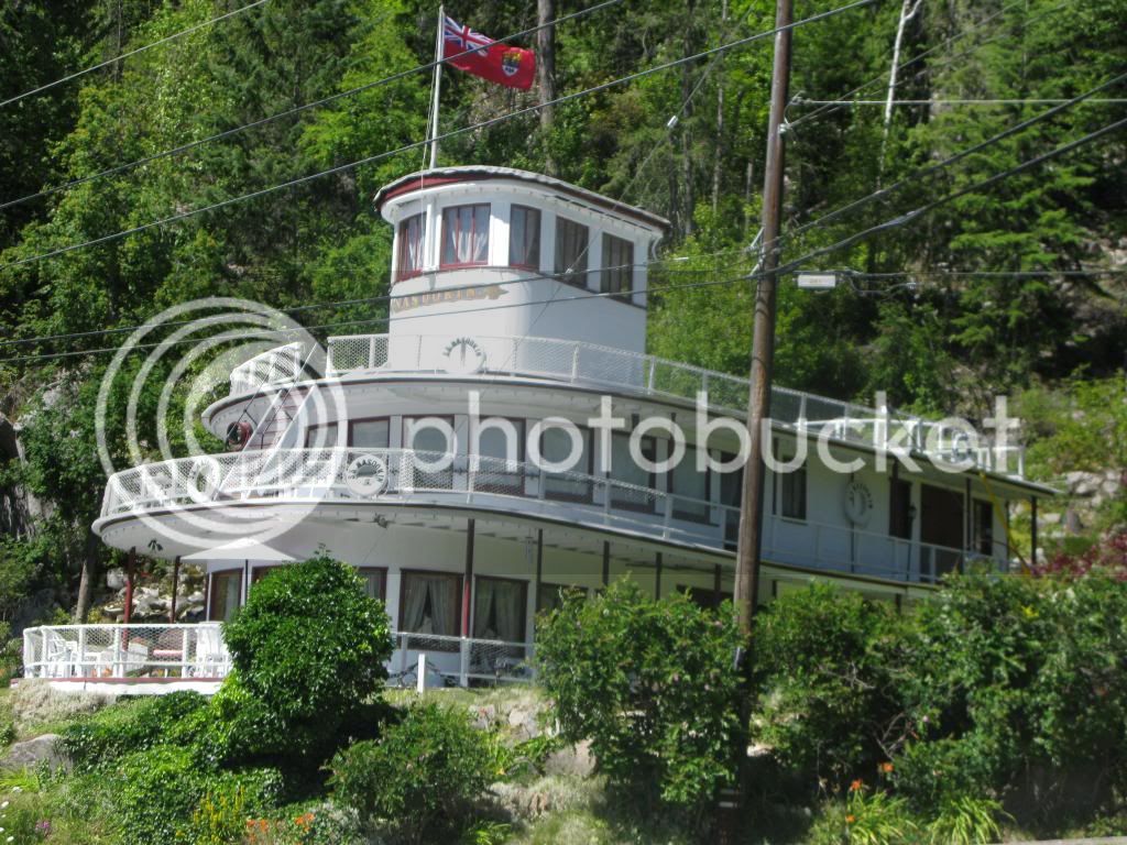
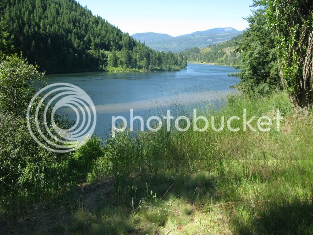
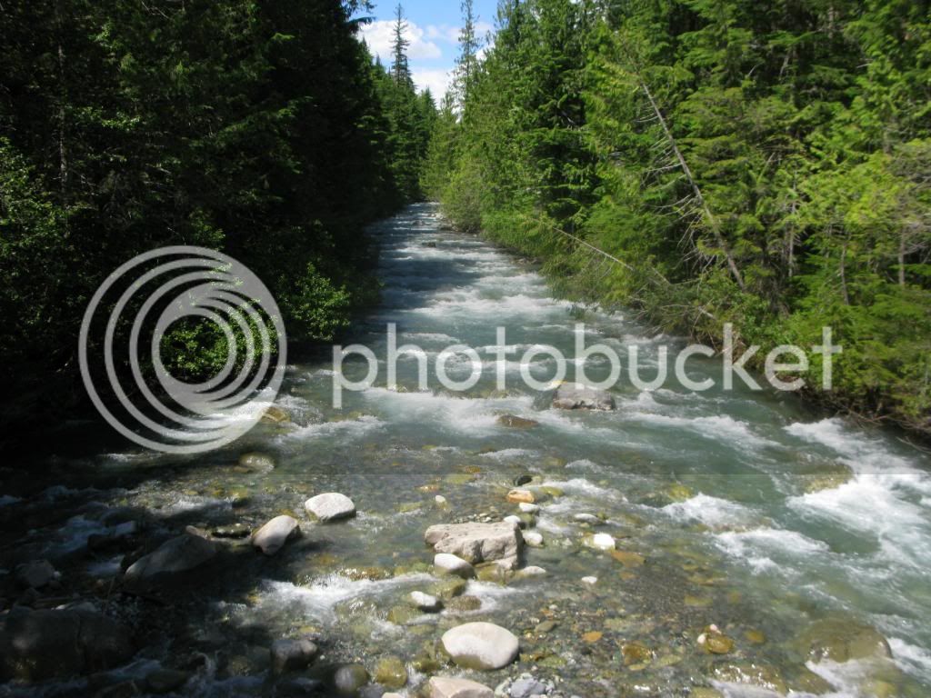
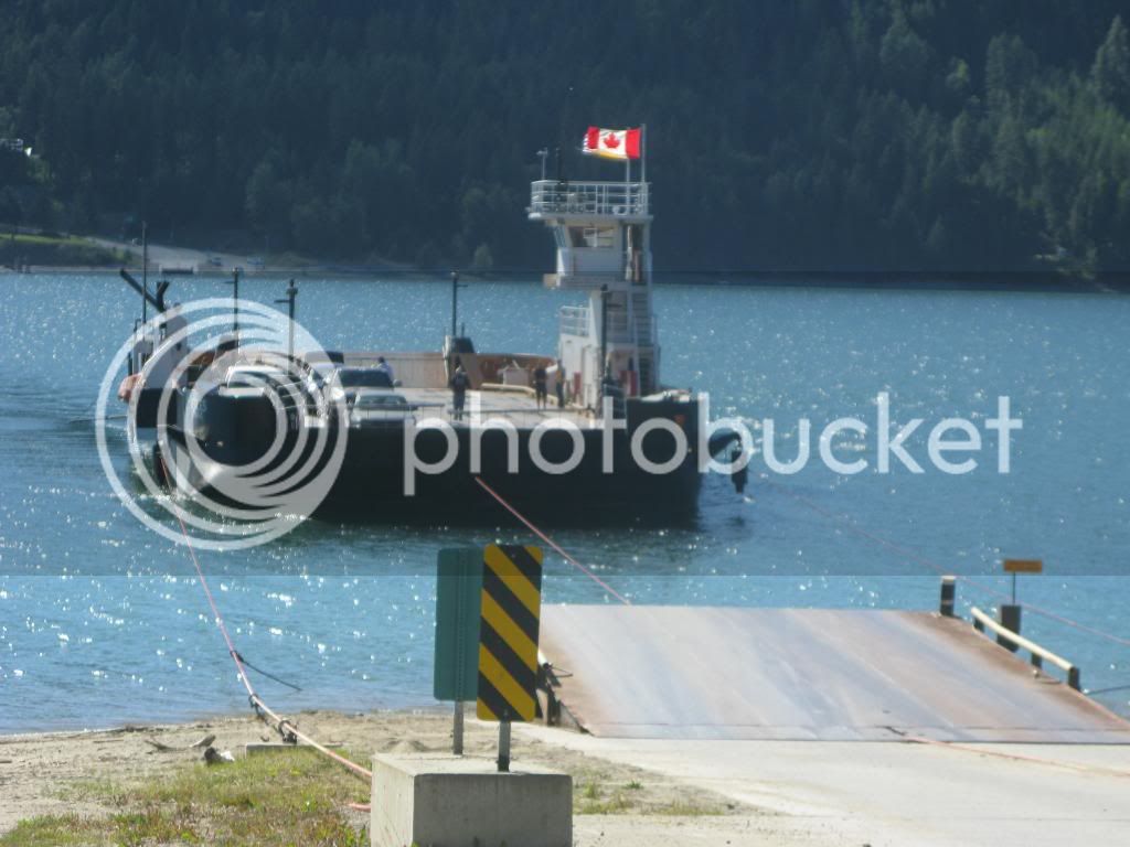
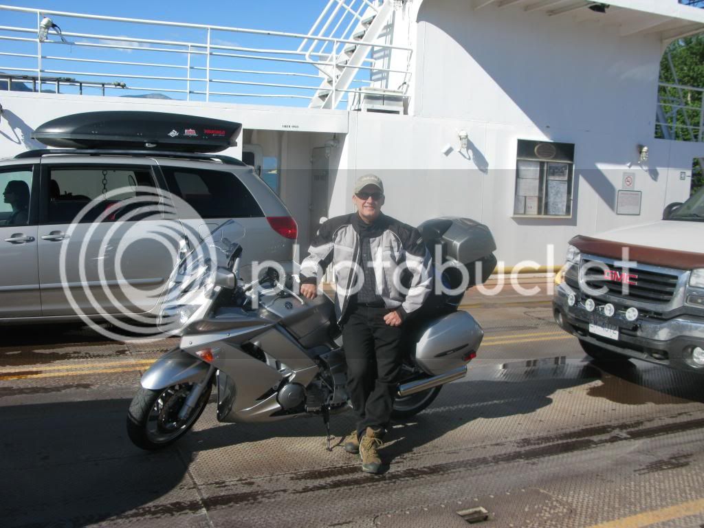
The entire day’s ride was spectacular, crossing several minor mountain passes and going from sub-alpine climate to lowland rivers and streams. With two exceptions, the wild life was not as much of a concern as my Cache Creek/Lilloot ride last year. Departing Grand Forks on Hwy # 3A toward Nelson around 8:00 am, there were 3 or 4 squirrels every mile or so running across the road in a very erratic manner. Never had a close call with one but it definitely kept me on the alert…I guess the theory of natural selection didn’t seem to apply to these critters. While I didn’t see the elk or bear that I saw in Cache Creek/Lilloot area, the deer started coming out into the roads early evening as I was approaching Grand Forks the prior night, and Lumby on this night which served to keep me alert after a long days ride. My favorite leg of the entire 4 day ride was the New Denver to Kaslo section on Hwy #31A. Another highlight was taking the cable pulled ferry to Needles. Regarding Needles, two cautions on this portion of the ride: 1) After departing Needles toward Lumby, the roads around Cherryville were quite poor (A terrible waste of twisties) and, 2) there is a long stretch after Needles without any gas so make sure that you fill your tank up before the ferry crossing. Too many highlights to share but here are a few pictures:


Again, this was a spectacular day riding on an overall spectacular ride……..can’t think how it could be topped, especially the New Denver to Kaslo section on Hwy #31A. I did wonder what my originally planned route on the East side of Kootenay Lake would be like so that will need to be explored on a future ride.


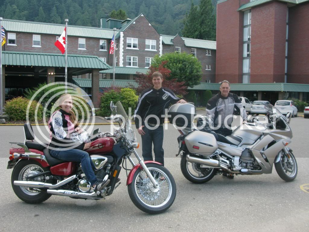
Day 3: 250 Miles 4.5 hours saddle time from Lumby to Harrison Hot Springs: This easier day took me from Lumby to Vernon (Hwy #6), Kelowna (Hwy # 97C), Merritt, and then Harrison Hot springs (Hwy #5) where I met my family (Who rode directly up from Woodinville, a 3 hour ride).

My body recuperated very nicely from the ride by taking several soaks in the hot springs.
The Lumby to Vernon ride that day was scenic with good road conditions and some light construction work being done in spots. The shock came in Vernon and again in Kelowna where I tried to adapt from 2 days of riding in the pristine wilderness/quaint towns (Leavenworth, Republic, Grand Forks, Nelson, Nakusp) into the bustle of Vernon and then Kelowna (Never thought that I would get out of Kelowna, it was hot, congested, and seemed like I caught every red light through that very large town). The good news is that the ride before and after Kelowna offered diversity of scenery, great asphalt, easy fwy riding, which allowed a relaxed evening at Harrison with the family. The highlight of the day was crossing the pass on the way to Merritt. I should add that temperature changes were significant as it would be mid upper 80's to lower 90's in the low lands and 59 to 62 at the summit of the passes....layering is always a good idea but very key to keeping comfortable on this ride.
Day 4: 170 Miles 3.5 hours saddle time from Harrison Hot Springs, Abbotsford Border Crossing, and returning home to Woodinville Washington on Highway #9: As a local to this area, Hwy #9 is a classic ride full of twisties and a great way to avoid I-5 home………a great transition from what has become one of my all-time favorite rides.
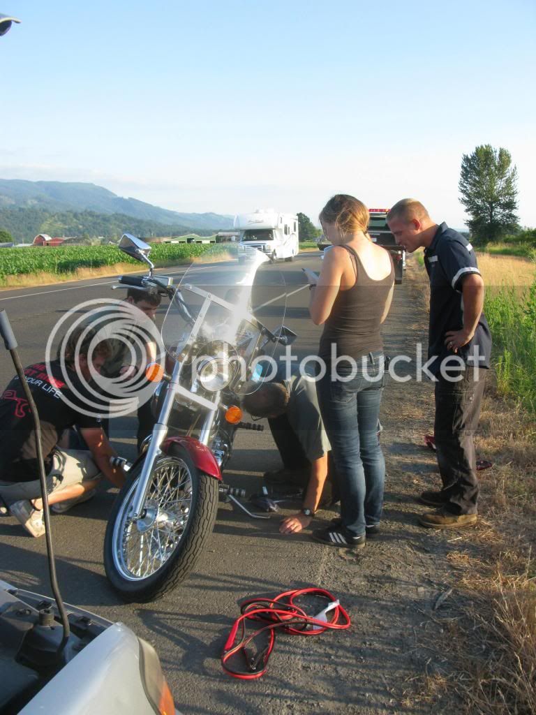
There is a saying that true adventure needs a little adversity and that came on the return leg home when my daughters beloved bike (It even has a name, Ramona) died just south of the Sumas border. In spite of a lot of help, we couldn’t get it to run and took it back to Sumas for a repair.

Thanks again to “live to ride”, “ZenWhipper”, and this forum to bringing the ride to my attention! I’ve traveled over much of B.C. and our good friends to the North (Canada) should be embarrassed by the number of incredible rides they have. Among my travels, this route now replaces the Cache Creek/Lilooet area (See last year’s trip report) as the favorite. It offered diversity of scenery from sub-alpine to Lowlands, crossed several mountain passes, was technically challenging in spots, provided sweepers & twisties, and interesting towns to explore along the way. It would be hard to imagine a better ride.......but I'm always open to ride suggestions from this forum.
The 4 day ride as planned was about 1300 miles but actual miles rode were 1130 due to route change recommended by some locals that I met at the campground n Grand Forks. I’ve been asked by others on this forum why the saddle time in this area seems long when compared to the miles traveled. This is truly back roads cruising where it’s common to get caught behind a farm tractor or RV on a 2 lane road, the road conditions vary greatly and there is no barrier between wild life and the road, twisties are abundant………or maybe I just travel slower
Day 1: 350 miles, about 6-1/2 hours saddle time from Woodinville, WA to Grand Forks, BC: Departed Woodinville, Washington and crossed Stevens pass on Hwy #2 to Wenatchee, then the Okanagan Hwy (97 North) to Tonasket where Hwy # 20 East took me to the town of Republic. At Republic took Hwy 21 North to the Danville border crossing into Canada, and camped for the night in Grand Forks, BC.
The Steven’s pass ride (Hwy #2) is always a gem offering great road conditions which enable you to enjoy the sweepers for much of the route and some twisties as you approach Leavenworth, which is great place to take a break offering food, drink, and an interesting place to explore while stretching your legs.
Once past Leavenworth, the ride takes you away from Mountain passes and into the farmlands of Wenatchee and then to the Okanogan Hwy (97 North) offering wide vistas, more sweepers and good to excellent road conditions. Somewhere on the Okanogan Hwy that first day, I decided that my recent investment in a Rich’s custom seat was well worth the cost. That said, my OEM windshield will be the next to go.The Okanogan Hwy was the highlight of the first day, changing scenery, good asphalt, and light traffic.
Took another break at the end of the Okanogan Hwy in the town of Republic, another very interesting and bike friendly town that was mostly closed down by the time I got there in the evening but still fun to explore and refill the water bottles as temps were in the high 90’s. The road conditions around Wenatchee and then the Okanogan Hwy were good but the combination of cross winds and a large semi’s created a lot of wind buffeting to deal with so some breaks were needed. The border crossing at Danville was very quick and from there it was about a 15 minute ride to Grand Forks where I pitched the tent and spent the night. At the campground, I met Ian from Vancouver Island on a trek with his new bike.
Day 1 took me from the heights of Stevens Pass, through the Bavarian town of Leavenworth, the apple orchards of Wenatchee, along the Okanogan, and into the forest of B.C. A very good way to start the ride.
Day 2: 320 miles, about 7 hours saddle time from Grand Forks to Lumby: I had originally planned on heading to Creston then up the East side of Kootenay Lake and then cross the lake at the Kootenay Bay/Balfour ferry crossing and up to Kaslo. The locals at the campground were very insistent that this planned route would be too long of a day and that I wouldn’t make it to Nakusp before sundown. I have had my doubts about the route change since, as I think that I could have made it to Nakusp along the longer route but the route taken was no disappointment in the least. Anyway, I took the advice of the locals and traveled the shorter route to Nakusp. The revised route took me from Grand Forks to Nelson (Hwy #3A and #31A), then to Kaslo (#3A), New Denver Hwy (#6) and I arrived at Nakusp in late afternoon. It was too early to settle down for the night so I ate an early dinner and arrived at Lumby around 6:30. Saddle time seems long for the miles traveled but there was occasional traffic and roads were remote, twisty, and the scenery made me stop and take more breaks than usual.
The entire day’s ride was spectacular, crossing several minor mountain passes and going from sub-alpine climate to lowland rivers and streams. With two exceptions, the wild life was not as much of a concern as my Cache Creek/Lilloot ride last year. Departing Grand Forks on Hwy # 3A toward Nelson around 8:00 am, there were 3 or 4 squirrels every mile or so running across the road in a very erratic manner. Never had a close call with one but it definitely kept me on the alert…I guess the theory of natural selection didn’t seem to apply to these critters. While I didn’t see the elk or bear that I saw in Cache Creek/Lilloot area, the deer started coming out into the roads early evening as I was approaching Grand Forks the prior night, and Lumby on this night which served to keep me alert after a long days ride. My favorite leg of the entire 4 day ride was the New Denver to Kaslo section on Hwy #31A. Another highlight was taking the cable pulled ferry to Needles. Regarding Needles, two cautions on this portion of the ride: 1) After departing Needles toward Lumby, the roads around Cherryville were quite poor (A terrible waste of twisties) and, 2) there is a long stretch after Needles without any gas so make sure that you fill your tank up before the ferry crossing. Too many highlights to share but here are a few pictures:
Again, this was a spectacular day riding on an overall spectacular ride……..can’t think how it could be topped, especially the New Denver to Kaslo section on Hwy #31A. I did wonder what my originally planned route on the East side of Kootenay Lake would be like so that will need to be explored on a future ride.
Day 3: 250 Miles 4.5 hours saddle time from Lumby to Harrison Hot Springs: This easier day took me from Lumby to Vernon (Hwy #6), Kelowna (Hwy # 97C), Merritt, and then Harrison Hot springs (Hwy #5) where I met my family (Who rode directly up from Woodinville, a 3 hour ride).
My body recuperated very nicely from the ride by taking several soaks in the hot springs.
The Lumby to Vernon ride that day was scenic with good road conditions and some light construction work being done in spots. The shock came in Vernon and again in Kelowna where I tried to adapt from 2 days of riding in the pristine wilderness/quaint towns (Leavenworth, Republic, Grand Forks, Nelson, Nakusp) into the bustle of Vernon and then Kelowna (Never thought that I would get out of Kelowna, it was hot, congested, and seemed like I caught every red light through that very large town). The good news is that the ride before and after Kelowna offered diversity of scenery, great asphalt, easy fwy riding, which allowed a relaxed evening at Harrison with the family. The highlight of the day was crossing the pass on the way to Merritt. I should add that temperature changes were significant as it would be mid upper 80's to lower 90's in the low lands and 59 to 62 at the summit of the passes....layering is always a good idea but very key to keeping comfortable on this ride.
Day 4: 170 Miles 3.5 hours saddle time from Harrison Hot Springs, Abbotsford Border Crossing, and returning home to Woodinville Washington on Highway #9: As a local to this area, Hwy #9 is a classic ride full of twisties and a great way to avoid I-5 home………a great transition from what has become one of my all-time favorite rides.
There is a saying that true adventure needs a little adversity and that came on the return leg home when my daughters beloved bike (It even has a name, Ramona) died just south of the Sumas border. In spite of a lot of help, we couldn’t get it to run and took it back to Sumas for a repair.
Thanks again to “live to ride”, “ZenWhipper”, and this forum to bringing the ride to my attention! I’ve traveled over much of B.C. and our good friends to the North (Canada) should be embarrassed by the number of incredible rides they have. Among my travels, this route now replaces the Cache Creek/Lilooet area (See last year’s trip report) as the favorite. It offered diversity of scenery from sub-alpine to Lowlands, crossed several mountain passes, was technically challenging in spots, provided sweepers & twisties, and interesting towns to explore along the way. It would be hard to imagine a better ride.......but I'm always open to ride suggestions from this forum.